
I got to Top Spur right around sunrise, did my usual truffle shuffle up to the PCT—does anyone else ever feel like the first half mile’s always the hardest?—then ambled over to Bald Mountain for a couple quick views.

From Bald Mountain, I took the (now signed!) cutoff over the ridge, then followed the Timberline up to the climber’s trail for McNeil Point, and took that up to the shelter. This was, bizarrely, maybe the sketchiest part of the whole trip, though I suspect that was largely because I was being stubborn and didn’t want to put on my microspikes yet.


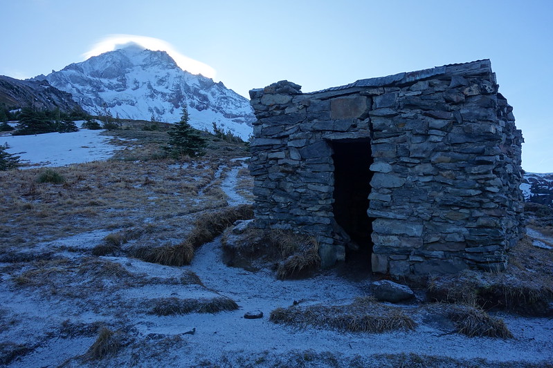
I finally put my spikes on at the McNeil shelter, then walked—with quite a bit more comfort!—over to the Glisan Glacier’s outlet creek. (I’ve always called this the West Fork Ladd Creek. Does it have a better name?)
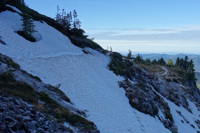
There are a couple common ways to get onto Gladd Ridge. In the past, I’ve always taken the Timberline to Cairn Basin, then scrambled up from the shelter. But, if you’re coming from the west, it’s actually much easier to take the McNeil trail to the saddle overlooking the West Fork Ladd (or whatever it’s called) at 6000’, take the short trail down to the creek, cross, and clamor up the relatively mild west side of the ridge, just about treeline.


Once on the Ridge, it’s just a simple matter of following it to around 7000’. The going’s almost insultingly easy—so much so that I hesitated to put this in the “off trail” section.


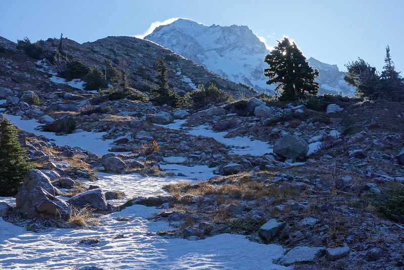
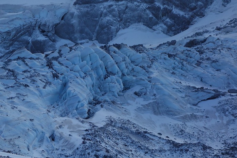
Ice made jumping off the ridge a touch trickier than it usually is, but there were, at most, a couple of sketchy feet, and soon I was walking up easy ice across the Ladd on my way to Barrett. I think this stretch might be my favorite place on Hood, due largely to the just jaw-dropping glacial views.
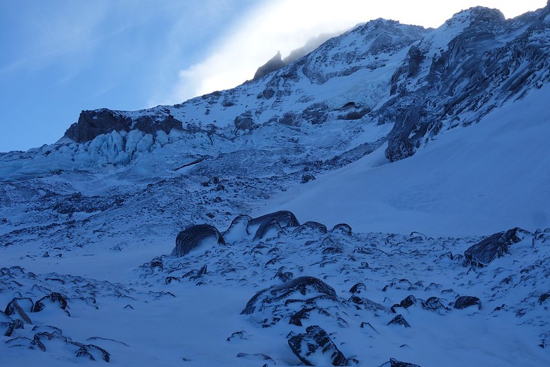


From the Ladd, it’s possible to scramble up the southern snout of Barrett Spur, but the ice effectively made that a no-go for me, and I elected to exit instead up a mellow slope of frozen scree to Barrett Saddle.

From the Saddle, I followed the somewhat snow-covered trail down to Dollar Lake and the Timberline, stopped for a quick beer near Wy’east Basin (something from Fort Gorge I forgot to photograph), and strolled through the lovely scenery back to the car.


