I got a late start so to make sure I had a parking place rather than the gas vehicle I did bike travel from Troutdale to Angels Rest via I-84. Wheeee! Nice to take the slow route as there were 4 swans in the pond below Crown Point along with a bunch of canadian geese so I could stop and take pictures. Jeez, those swans (I think Tundra but Trumpeter would have to be considered) are huge compare to the Canandian geese - which I initially thought were mallards.
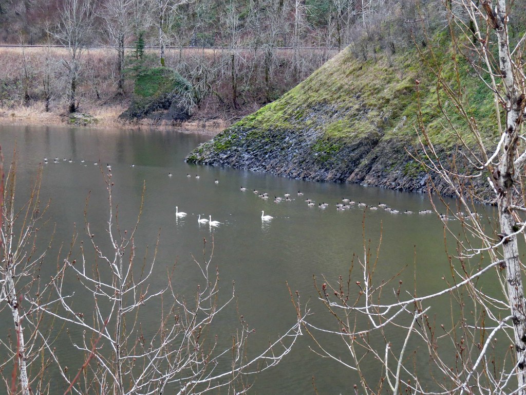 SwansAndGeeseBelowCrownPoint by pauljess999, on Flickr
Close up.
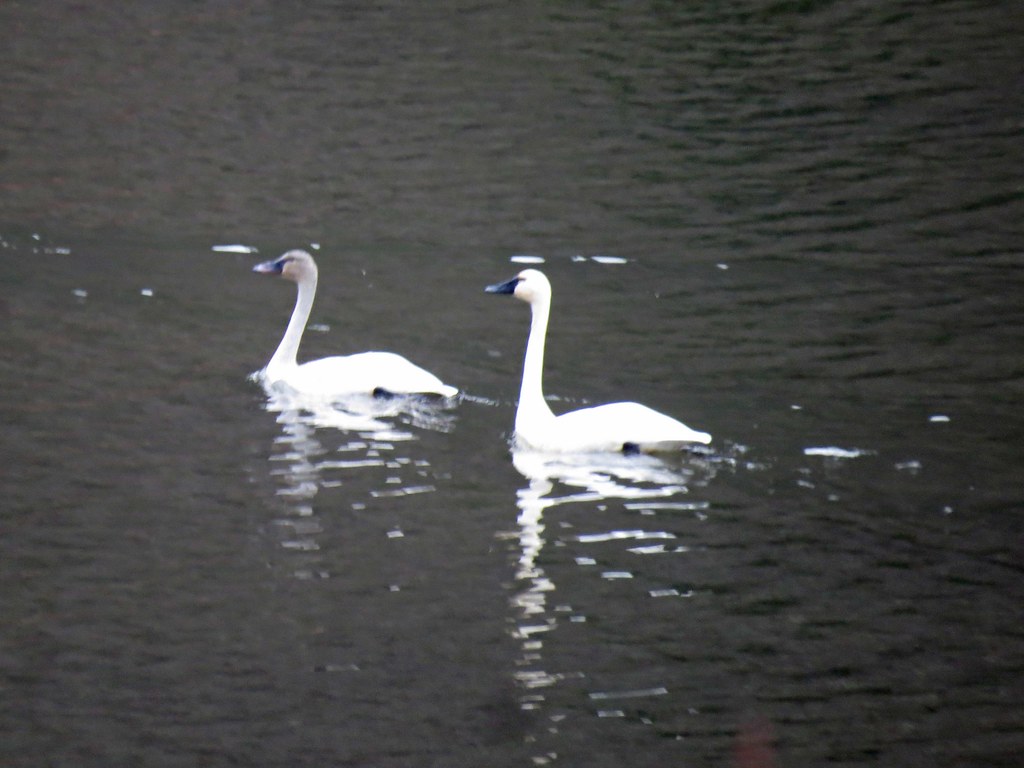 CrownPointSwans by pauljess999, on Flickr
I parked at the totally available bike staple next to the sign board at Angels Rest, prepped my gear and headed for the jump-off spot for Pablos Ridge. The approach and entire ridge got hammered by the fire. A steep climb but nice, well-used game trails to follow.
 PablosRidge1 by pauljess999, on Flickr
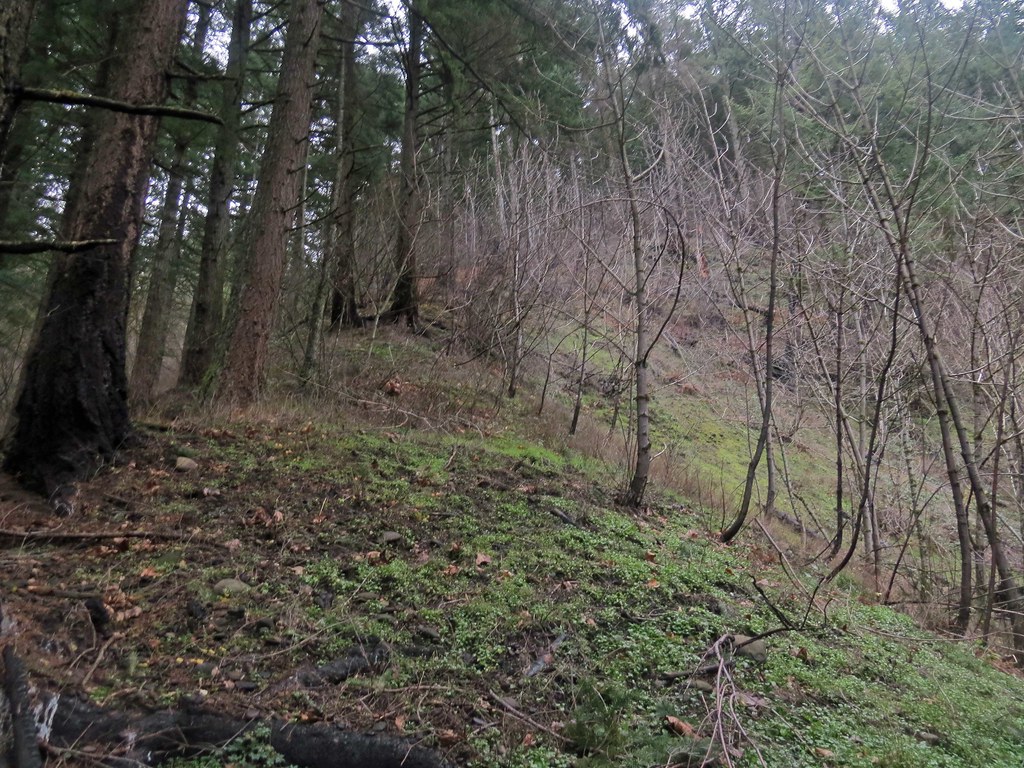
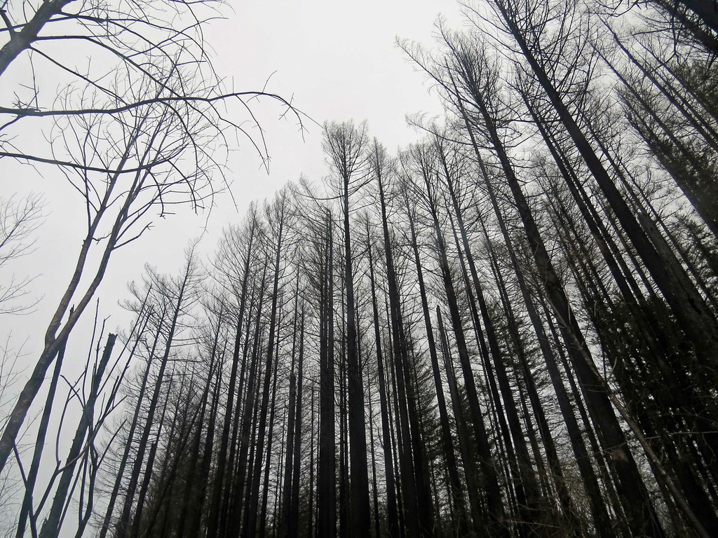
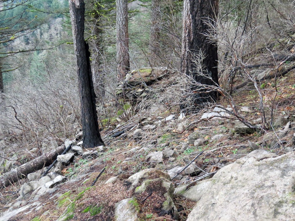
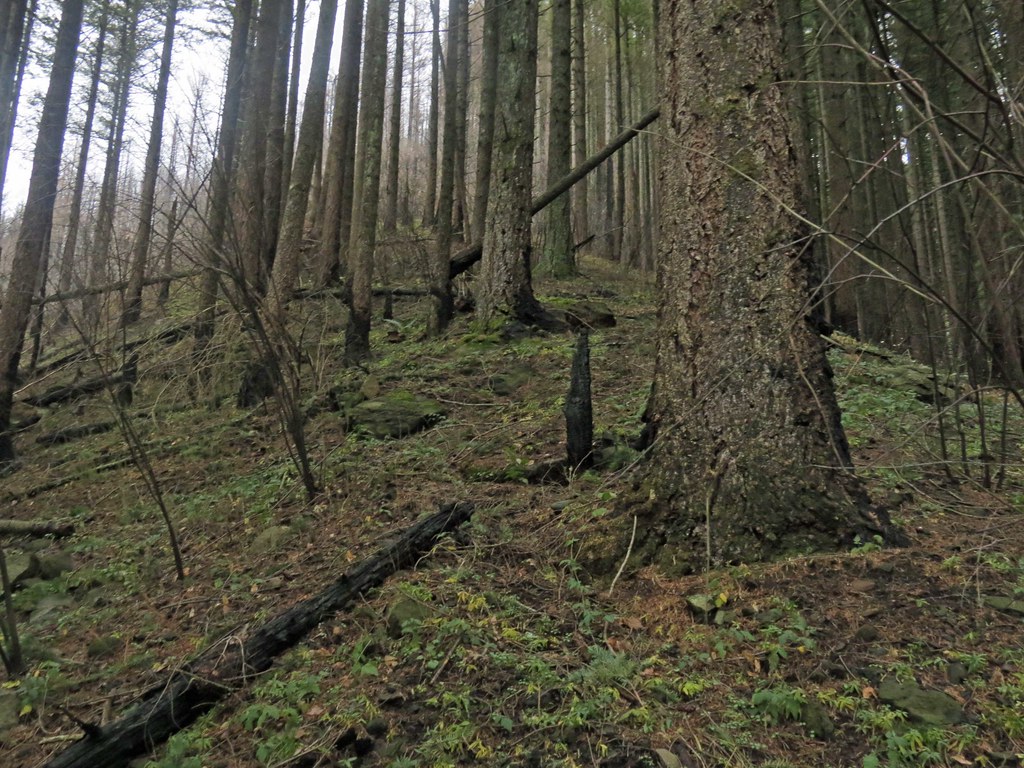 PablosRidge2 by pauljess999, on Flickr
Near the top, still in the burn.
 PablosRidge3 by pauljess999, on Flickr
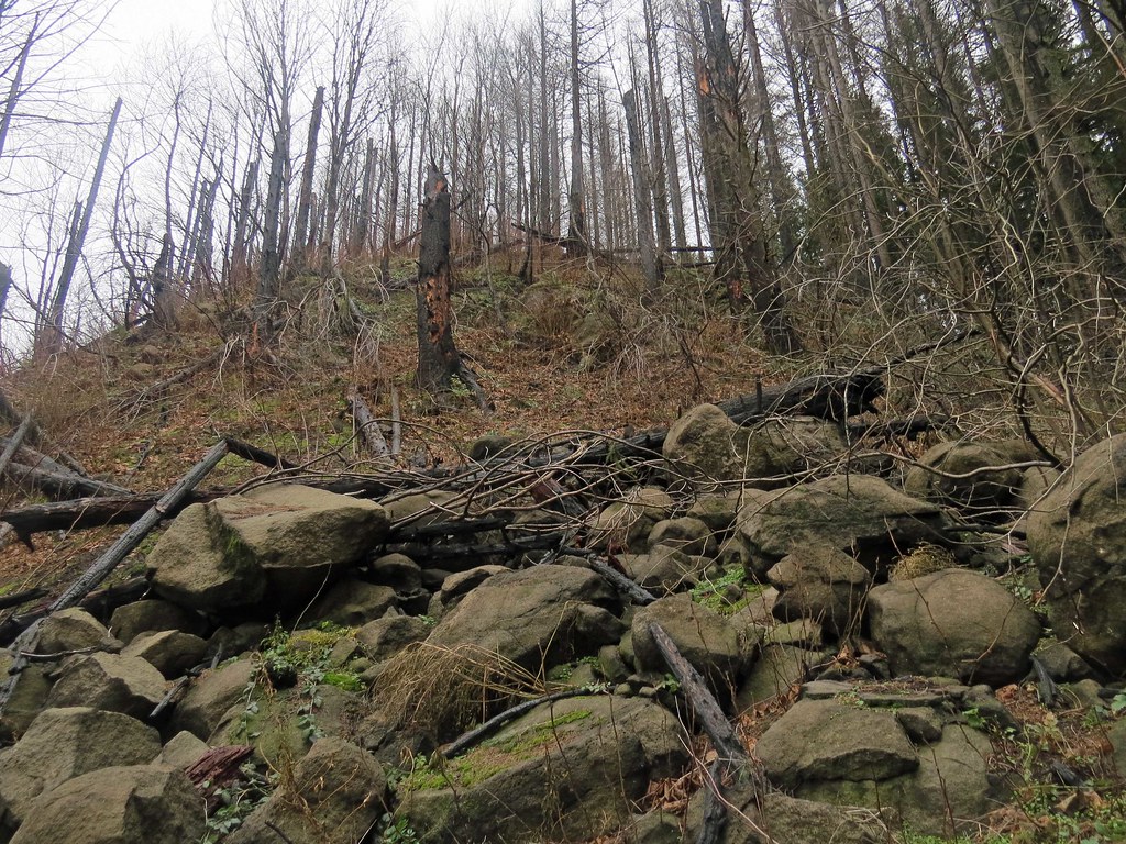
Once on the BV Platter the fire did its thing on trees close to the edge. Fire crowned everything close.
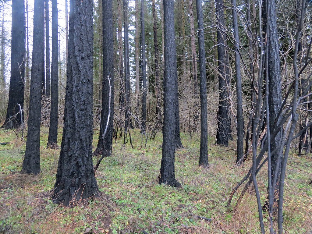
 BVPlatterDeadTrees by pauljess999, on Flickr
Under-story is gone and lots of standing dead trees.
 BVPlatterBurn by pauljess999, on Flickr
In light of what I saw along the ridge I had to conclude that any fire breaks laid down on the BV Platter were completely justified. What I traveled burned hot.
The blue barrel. One of the 7-8 or 9 or maybe 10 or more wonders of the BV Platter.
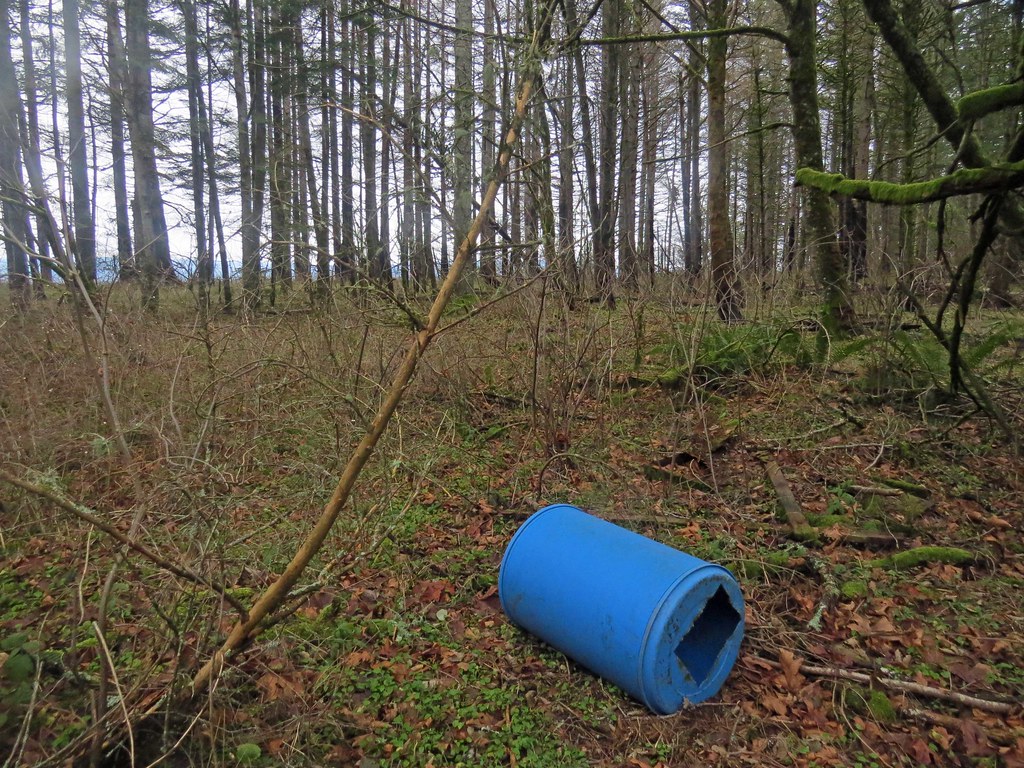 BlueBarrel by pauljess999, on Flickr
I wandered around along the burned out ridge crest going east toward the Viewpoint. I think this is the viewpoint location, trail is gone.
 ViewpointRocks by pauljess999, on Flickr
Nice view of Angels Rest from nearby.
 AngelsRest by pauljess999, on Flickr
After wandering around the burn along the north edge of the BV Platter I ran into the proper trail headed towards the Throne. Tread is clear and I missed the Throne but landed on the the Stair Step Trail (the name is from the Mazamas' led hikes there, aircooled calls it the Stairway). The Stair Step Trail has seen traffic and missed the burn entirely. I of course botched the exit like I usually do and had to thrash around the brush before reconnecting with Angels Rest Trail for the finish. The start of the trail on the Angels Rest end seems fuzzy, I just plain missed it. Rode the bike back to Troutdale along I-84 in the diminishing daylight.
Rather than my map here is a nice map posted by aircooled pre-fire that I think is better as it shows all the old landmarks and trail locations. Some work needs to be done here.
