Here's the card:

So one thing was to see how close I could get to this photo on the card. Answer is sort of close but the location where this photo was taken is overgrown. Additionally there are some FS lookout panos referenced as Raker Point locations but are actually taken further east on Sawtooth Mtn. I had hoped to try to replicate those panos but the ridge is too overgrown to allow that.
There have been mentions of Raker Point on OH and Limey visited Sawtooth Mtn a while back and posted a TR here:
viewtopic.php?f=10&t=15666
Just recently I think there was a Sawtooth Mtn TR but I'm too lazy to look it up. I'm not sure of any other TRs to Raker Point but if there are TRs to Raker Pt out there send me links. I'd like a second opinion.
So the plan was a loop using the old Skyline Trail segment that takes off from the FR-13 Rd and goes north before switching back to head downhill to the creek crossing. I figure this would get me closer before starting the bushwhack to Raker Pt. Then up to Raker Point and turn east to follow the ridge of Sawtooth Mtn and investigate some possible viewpoints I'd scouted in Google Earth. At some point on the ridge I'd turn down hill and close the loop by bushwhacking down from the ridge returning to my vehicle parked at the entrance of a logging road.
Turns out the (slightly overgrown) Skyline Trail segment follows an old logging road just before making the turn down slope and the road actually continues on northward for a short distance. This was good and bad, Travel on the road was easy but when it stopped I had to do a nasty b-whack to get back into the woods.
Buck Peak from the Skyline Trail
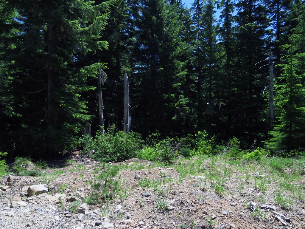
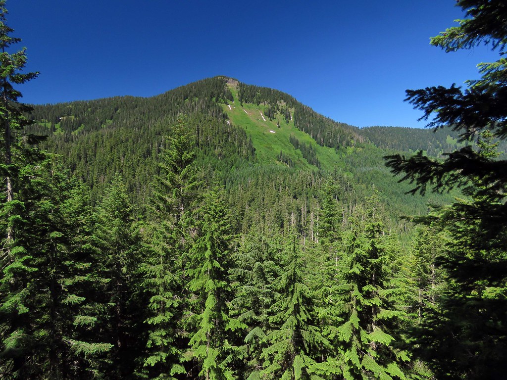 IMG_5026 by pauljess999, on Flickr
End of trail and continuation on road
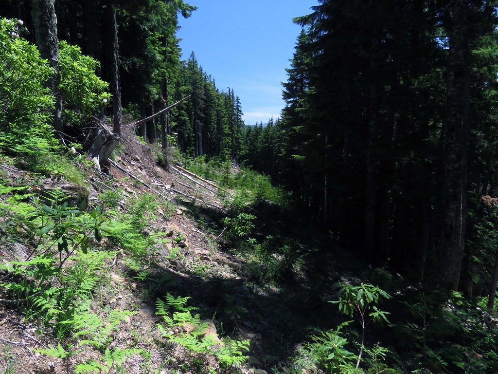
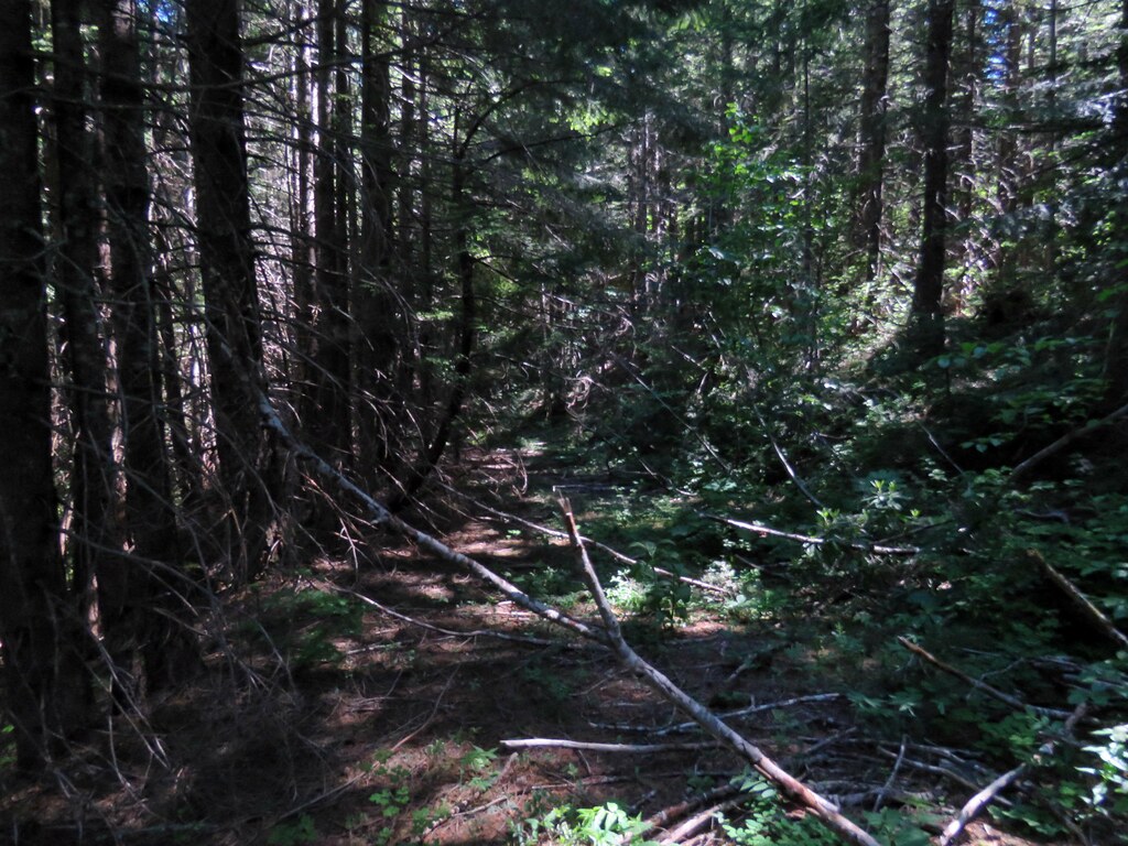 IMG_5038 by pauljess999, on Flickr
End of road, bushwhack to Raker Point began up a steep brushy hillside.
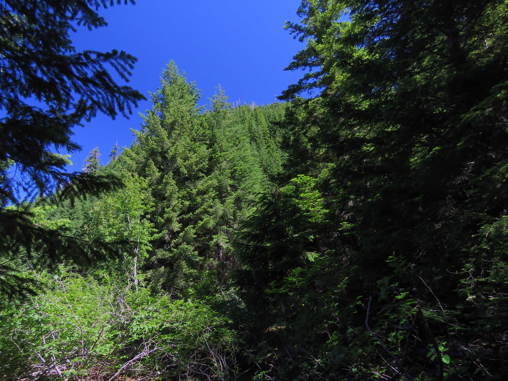 IMG_5039 by pauljess999, on Flickr
After this short but intense uphill b-whack through brush of various kinds and density I was gifted with open forest for most of the way to the top. Parts are quite steep but no brush to speak of.
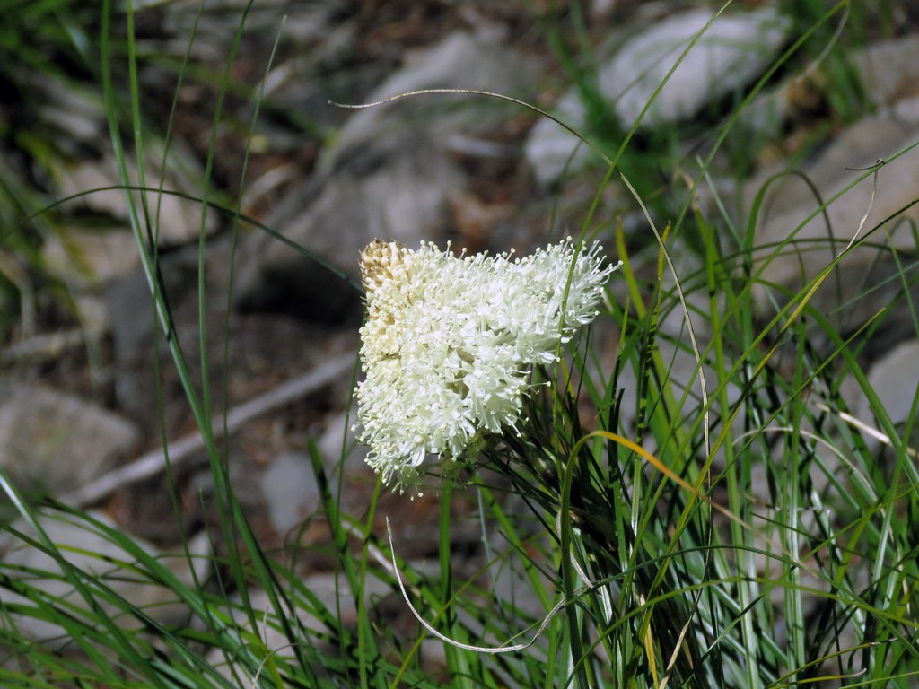
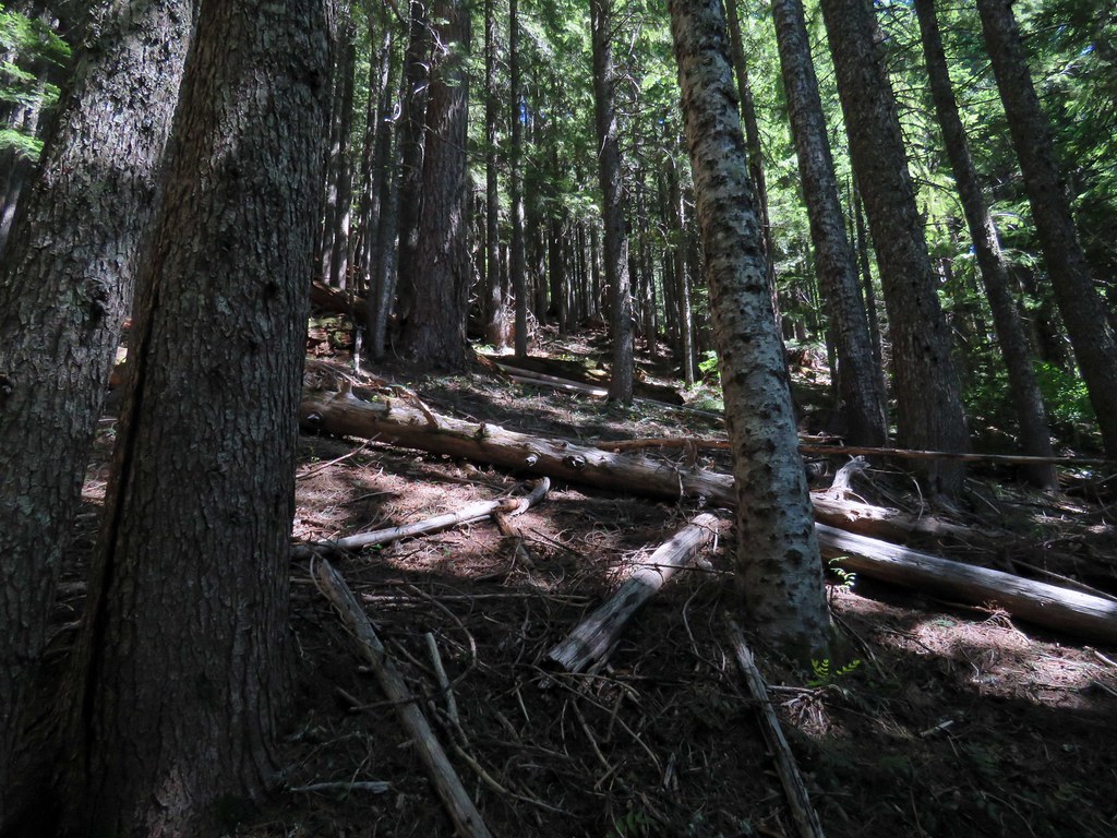 IMG_5041 by pauljess999, on Flickr
First thing on the talus slope on the south side of Raker Pt was to take a photo of this beargrass bloom.
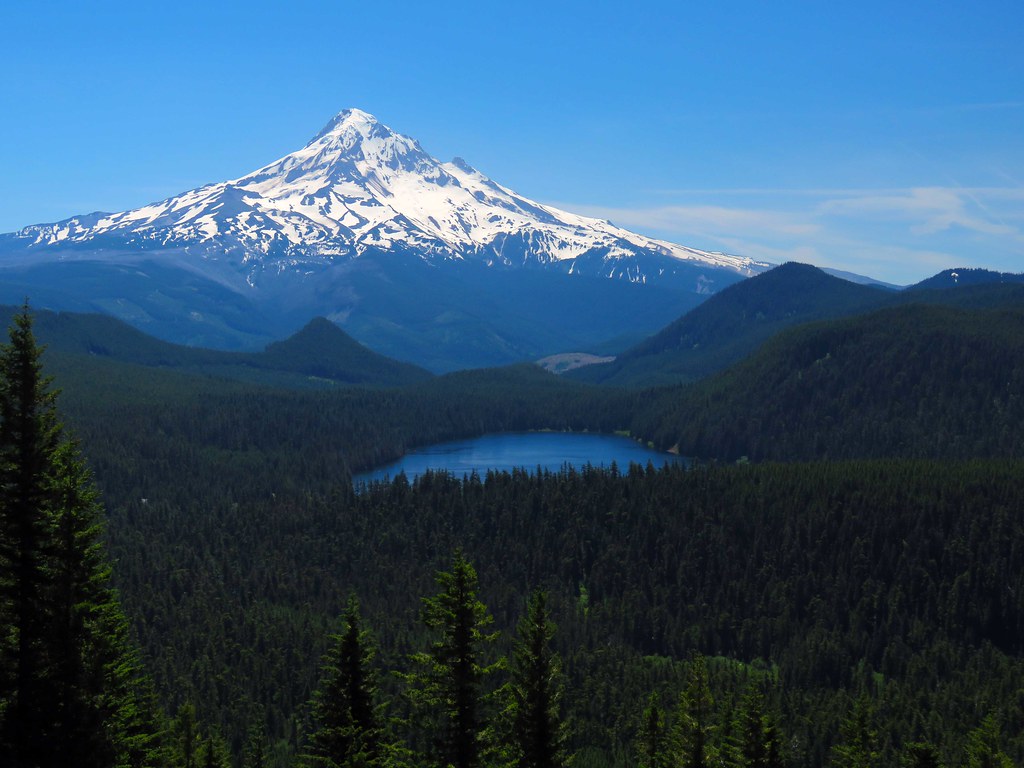
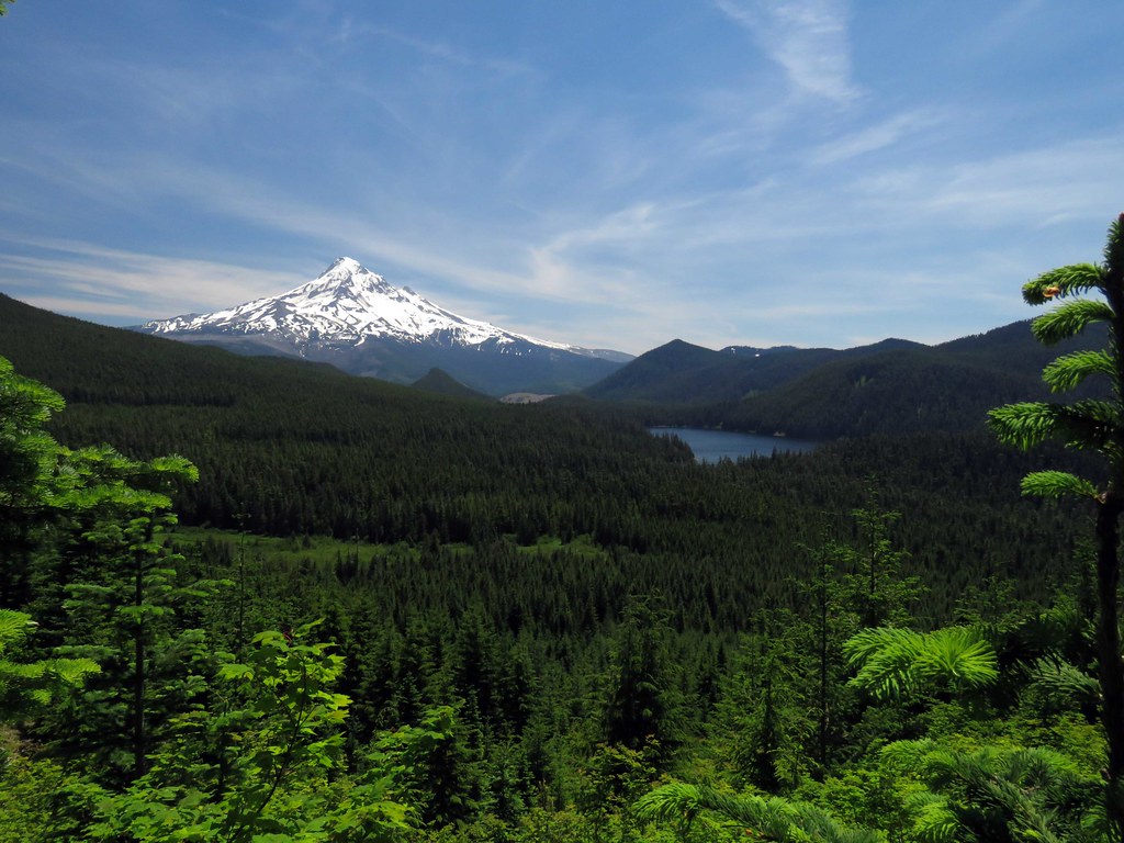
 IMG_5056 by pauljess999, on Flickr
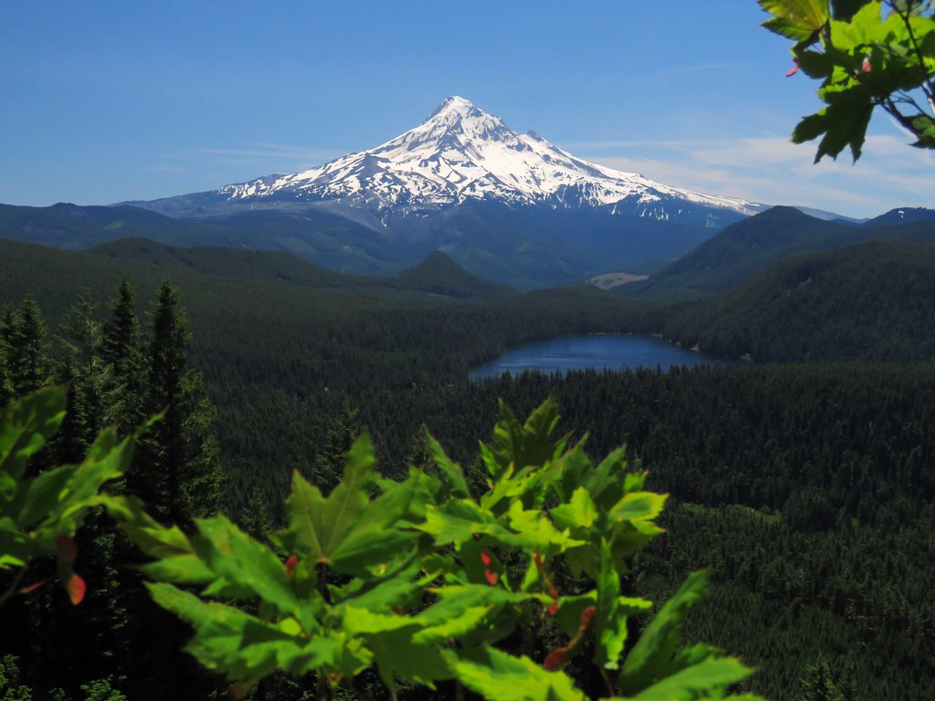
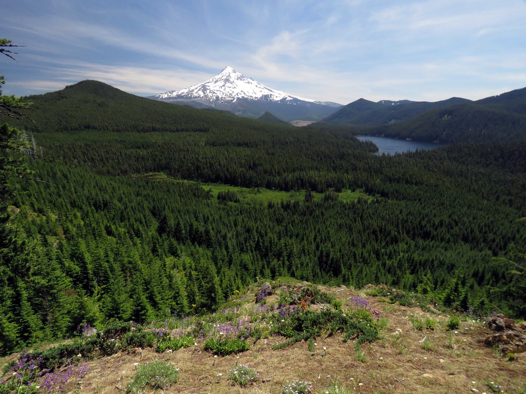
First photo of Hood and Lost Lake from below the top of Raker Pt.
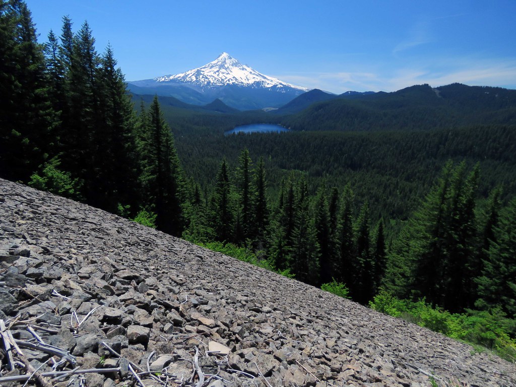
 IMG_5059 by pauljess999, on Flickr
Some context at the same location
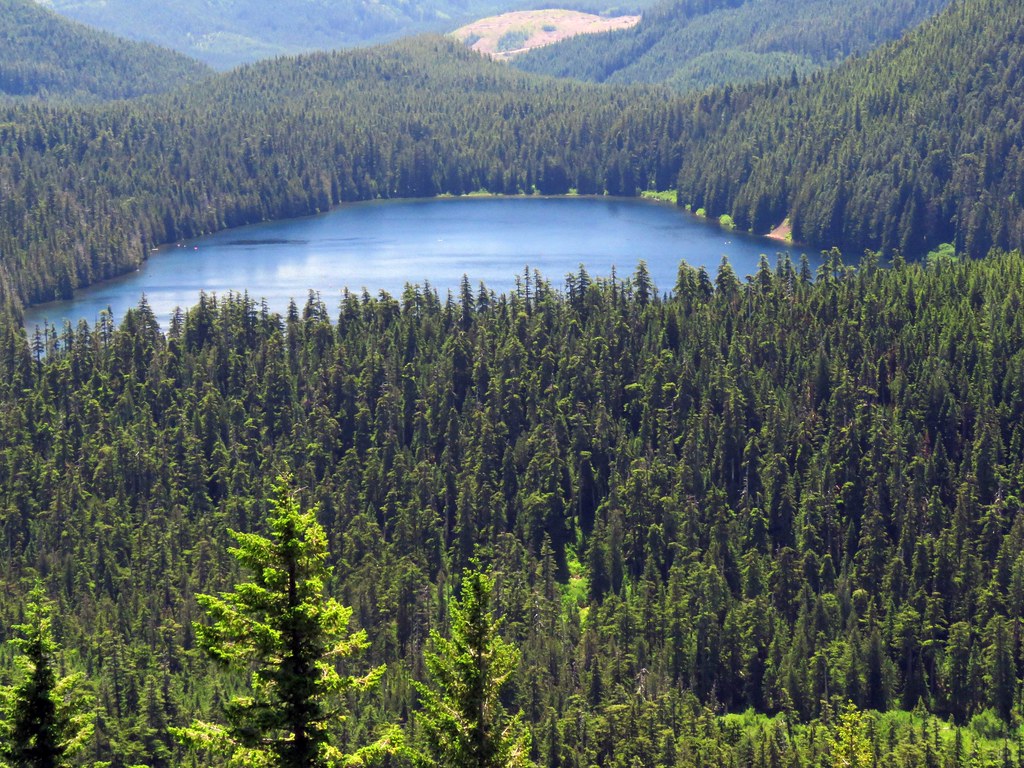
 IMG_5084 by pauljess999, on Flickr
A closer look at Lost Lake
 IMG_5090 by pauljess999, on Flickr
No rhodies handy like in the postcard so I used vine maple
 IMG_5128 by pauljess999, on Flickr
On the north side of Raker Pt looking northeast-ish to Sunshine Rock and parts east
 IMG_5168 by pauljess999, on Flickr
On Raker Pt
 IMG_5217 by pauljess999, on Flickr
Indian Mtn from the north side of Raker Pt
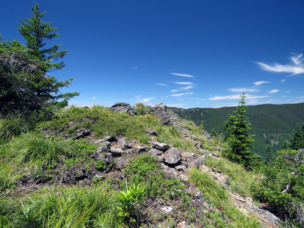
 IMG_5224 by pauljess999, on Flickr
Top of Raker Point
 IMG_5233 by pauljess999, on Flickr
In the saddle on the decommissioned road at the likely spot where the postcard photo was taken - all overgrown now,
 IMG_5246 by pauljess999, on Flickr
Looking down the decommed road before heading for a high point of Sawtooth Mtn that looked to have views. Travel was mostly easy on the road although to cool off I ducked into the woods every now and then,
 IMG_5250 by pauljess999, on Flickr
From the decommed road
 IMG_5276 by pauljess999, on Flickr
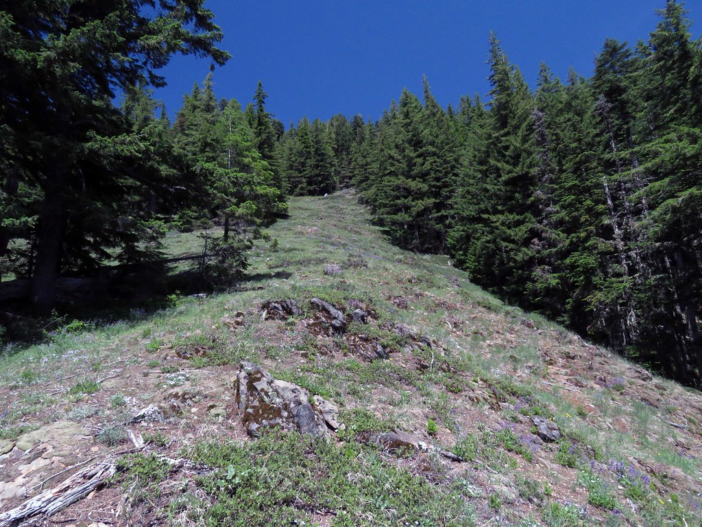
Starting the climb to get back on the ridge of Sawtooth Mtn using a meadow I'd seen in Google Earth to get to the top.
 IMG_5288 by pauljess999, on Flickr
Looking up the meadow
 IMG_5315 by pauljess999, on Flickr
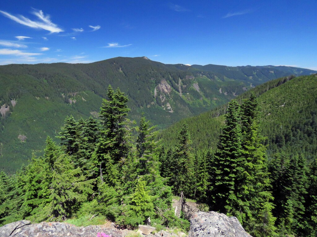
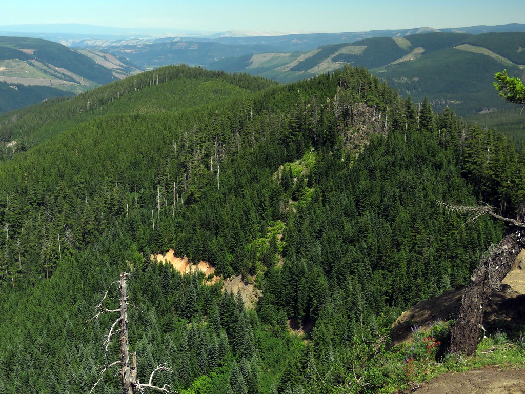
Going east on the ridge of Sawtooth Mtn was mostly like this
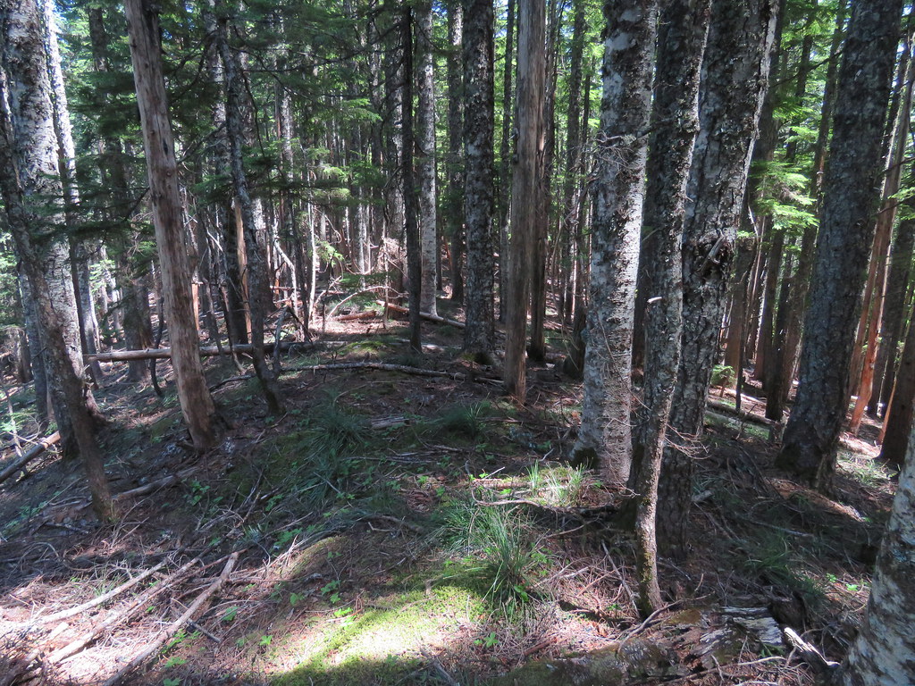 IMG_5350 by pauljess999, on Flickr
The final viewpoint on top of a cliff facing north
Wide angle
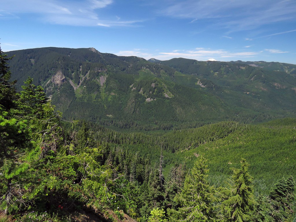 IMG_5398 by pauljess999, on Flickr
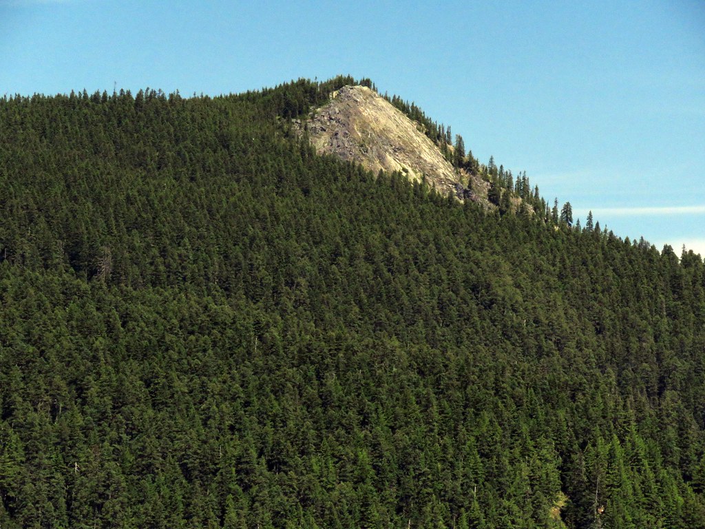
Sunshine Rock
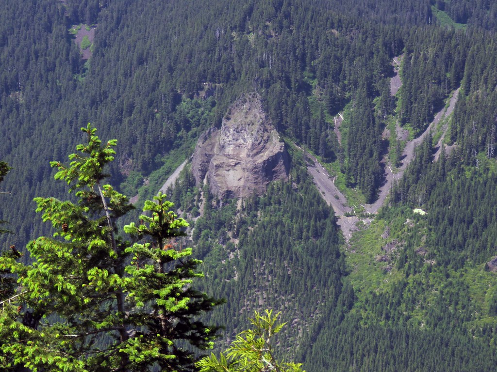 IMG_5406 by pauljess999, on Flickr
Chinidere
 IMG_5409 by pauljess999, on Flickr
Lost Lake Butte and Hood
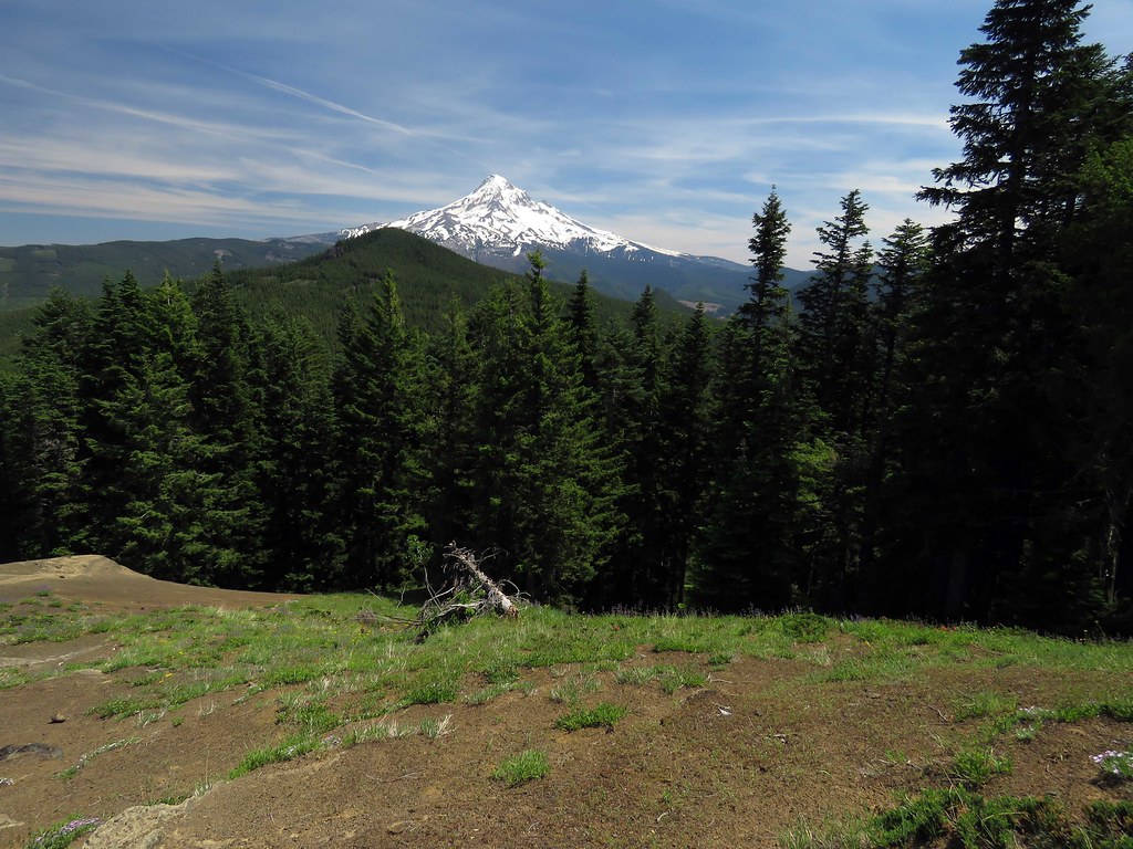 IMG_5437 by pauljess999, on Flickr
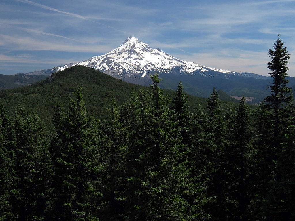 IMG_5442 by pauljess999, on Flickr
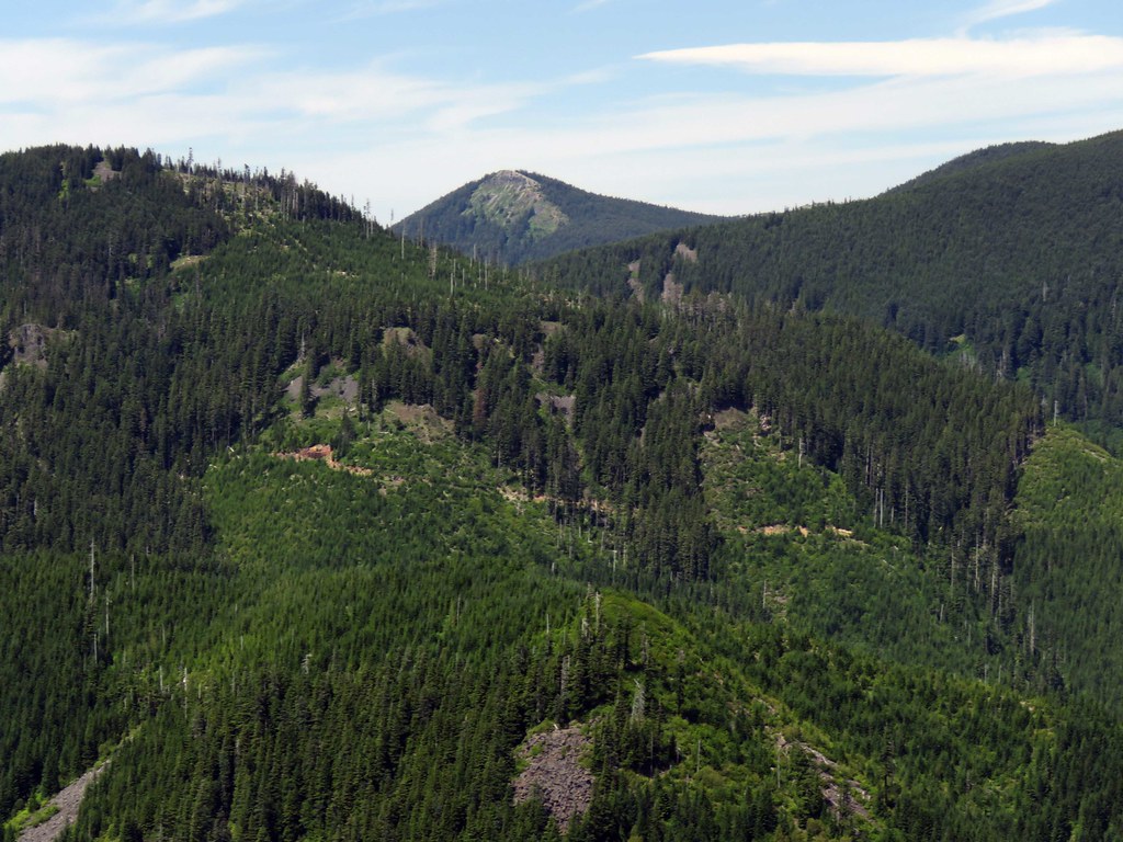
Looking east to the rest of Sawtooth Mtn. The rock outcrop right and slightly above center could have been a problem, I bailed before then and headed back to the FR-13 road to finish up.
 IMG_5445 by pauljess999, on Flickr
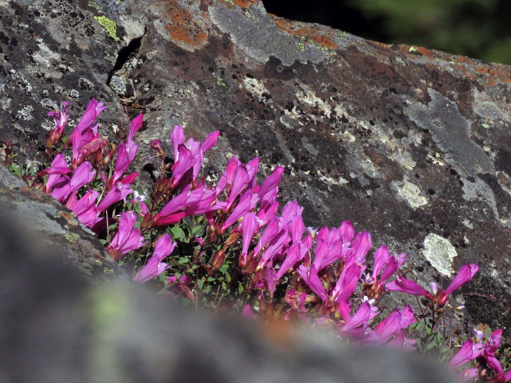
Cliffs on the final viewpoint were made of this stuff:
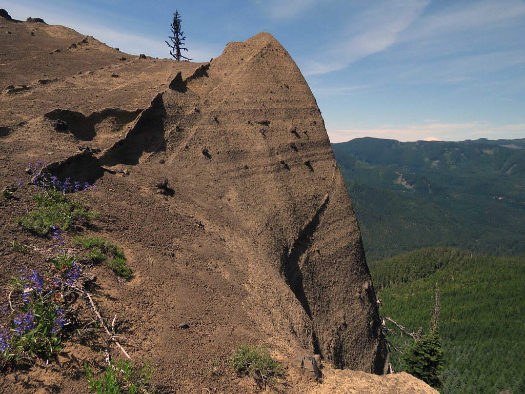 IMG_5460 by pauljess999, on Flickr
The return was a nice steep ramble through clear partial old growth. Again, very little brush.
KMZ file of track:
 RakerPtSawtoothMth-2017-06-25.kmz
- (17.49 KiB) Downloaded 439 times
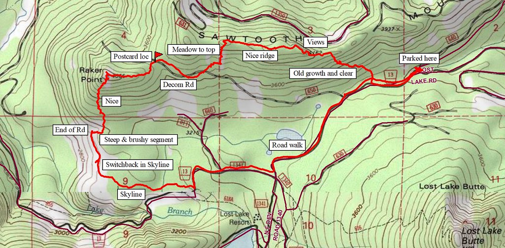 TOPOMap by pauljess999, on Flickr


