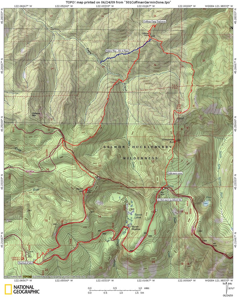
I propose instead "Pablo's Way", named in honor of myself. This provides the most brush-free and direct route out of Eagle Creek to the Plaza Trail. Map at the end of this TR.
I started this trip from Abbott Rd (aka FR 4610) near the road to Tumala Mtn. It is possible the paved Tumala Mountain Road is clear to the trailheads on that side of Tumala Mtn. but I was interested in snow conditions on Abbott Rd for access to a couple of other hikes I've plannned that start off Abbott Rd.
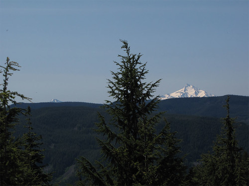
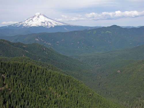
Very nice day, lots of clear skies and sunshine at the summit. There were a couple of snow drifts on the way up but nothing major. The views from Tumala Mtn are spectacular and stretch out in most all directions from the coast range to the farmlands of Clackamas County, south to Jefferson, north to Mount Hood and the rest of the volcanoes.
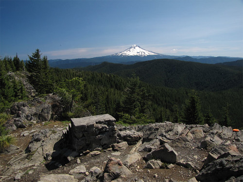
The 'Welcome' steps and MH:
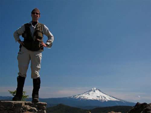
Trying to achieve the look pioneered by cfm as seen in a previous TR on Tumala Mtn., my camera is on the USGS brass benchmark. Not sure it works for me.
Down below is Tumala Lakes and Meadow.
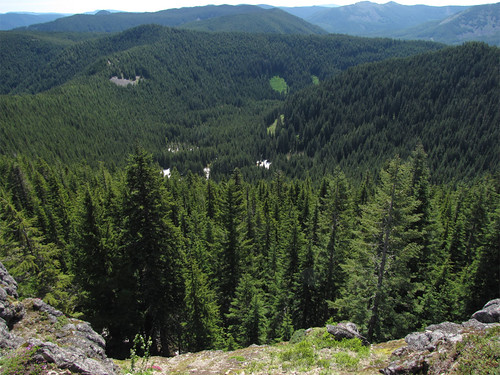
Down South to Jefferson and that must be Ollalie Butte on the left.
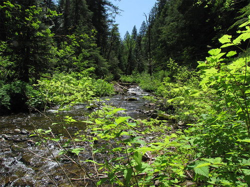
I departed Tumala Mtn. and headed down the Eagle Cutoff to Eagle Creek. Spotty snow on the trail just after leaving the summit - I walked off the trail one time but in general easy to stay on the trail. I reached Eagle Creek and it was crossable and I did so with a hop, step, and jump.
From here I started the search for sign of the #501 to Plaza trail. The map from Splintercat seemed to lie along the 2800' contour so I paid attention there, problem was even at that elevation I was in forest that did not exist until recently. I saw no trail bench and there were none of the older logs and standing snags one would expect to see. I concluded as I stated above - fairly recent and very hot fire removed all live trees, downed logs, and standing snags thereby removing any blaze that may have existed. The further east I went the more difficult the rhododendron became, eventually I gave up and went for the ridge I'd traveled in a previous attempt.
You shall not pass!
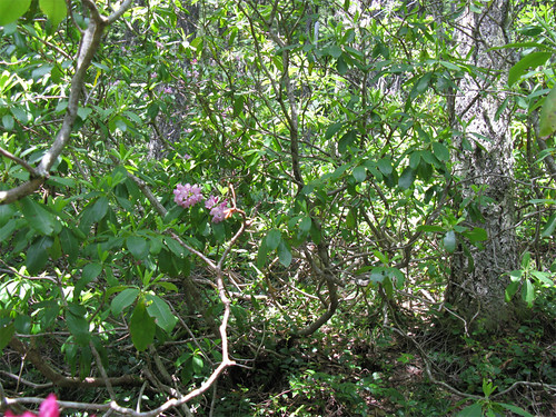
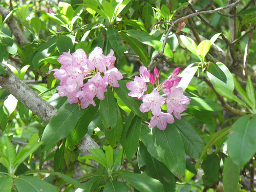
Close up of the flowers, they were laughing at me, "pitiful human, we will scratch you and poke your eyes out."
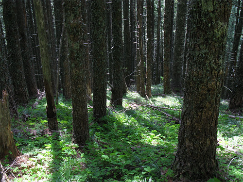
I gave up and headed to the far more rational Pablo's Way route where the following is more typical.
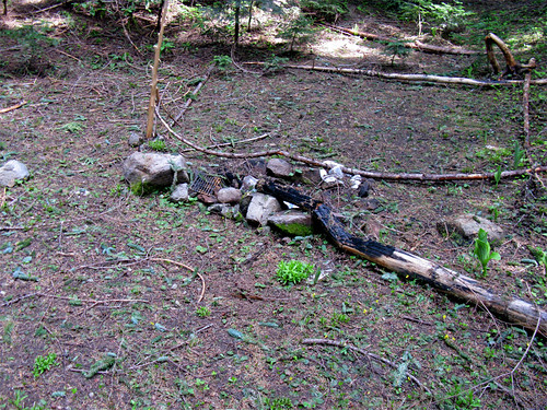
Having posted a massive fail on the 501 to Plaza I sought to redeem myself with a recon of the #785 Coffman Camp trail. This trail departs from the Bonanza Trail and climbs of the the ridge to the east of Cheeney Creek to the ridge line, then on to the Plaza Trail. USGS maps erroneously post the location of Coffman Camp at the junction of this trail and the Plaza,it really lies further to the west and it is easy to see why this trail would be abandoned as the Bonanza trail works just fine for getting to Coffman Camp. Still it is on the USGS maps and a couple of MHNF maps and the ridge line looks nice so one of these days I'll do the entire thing. I went out on the ridge where I found no trail, some possible blaze, and a couple of primitive campsites with the usual amount of litter.
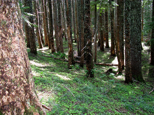
Typical ridge line part of the 785 on the section I traveled, not a lot of brush at this point.
Camp:
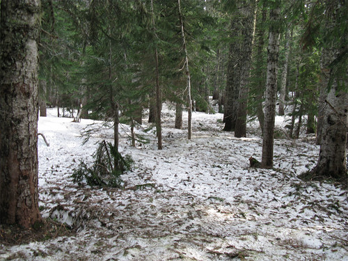
I left this segment of the Coffman Camp trail and headed for home. Along the headwaters of Eagle Creek I checked for possible #501 signs and saw none.
At Sheepshead rock I tarried a bit and enjoyed the view. Notable in this photo is the old growth Doug fir along the banks of the South Fork Salmon River, the target of a 2007 lost trails adventure - tough travel but beautiful surroundings in there.
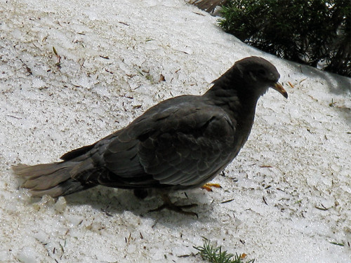
From the rock I continued South along the lightly snow covered Plaza Trail until this guy popped in for a visit. Not sure what it is, landed about 20 feet away from me on a snow bank and just sat there.
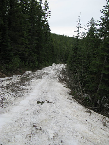
The approach to the end of the Plaza Trail and the Twin Springs camp was on a 2-3' or deeper snow floor.
Once on Abbott Road I encounter more snow - at least mid-July before this is gone.
Approximately 18 miles, 4800' vertical, about 10 hours on the trail. The blue line is Pablo's Way, the red, of course, is the hike described above.