Glacial Loop—White River to Newton Clark 141019
Posted: October 20th, 2014, 10:05 am
Glacial Loop—White River to Newton Clark 19 Oct 2014
A few weeks back I hiked to the Wy’east Face—a trip I had done several times when I could ski back but never in summer until Sept 19, as reported here:
http://www.portlandhikers.org/forum/vie ... 10&t=20099
While an exciting hike, the summer version was an “out-and-back”, so the back half was kinda repetitious. Could I make a loop AND see the White River Glacier? Yes!! Here’s my route:
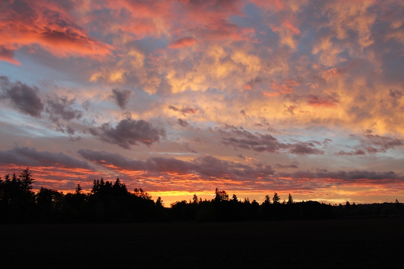
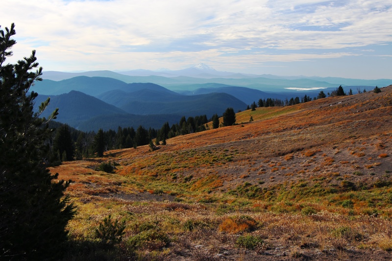
A colorful start to a great day.
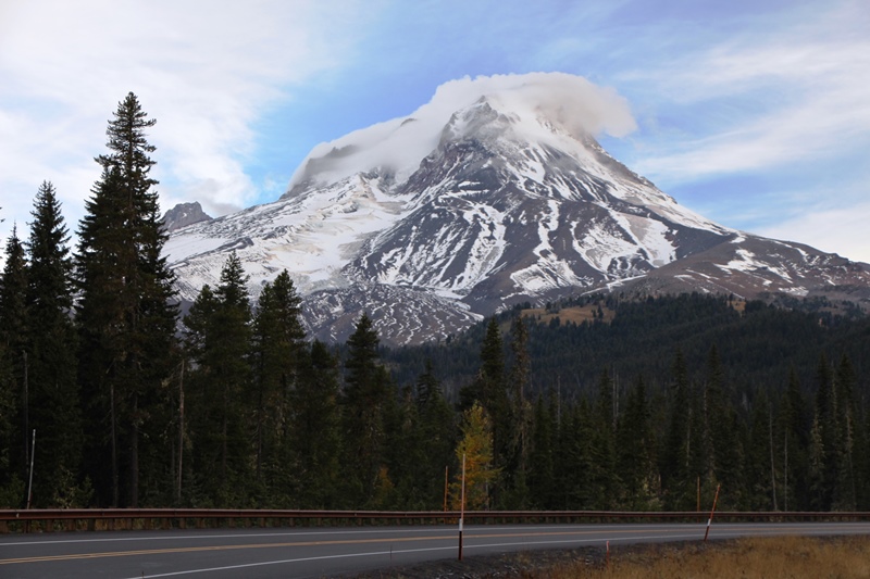
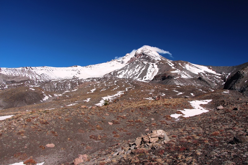
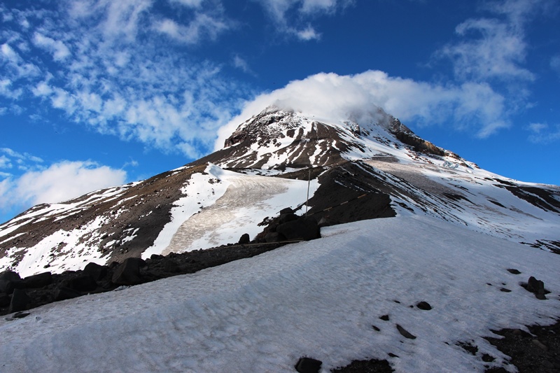
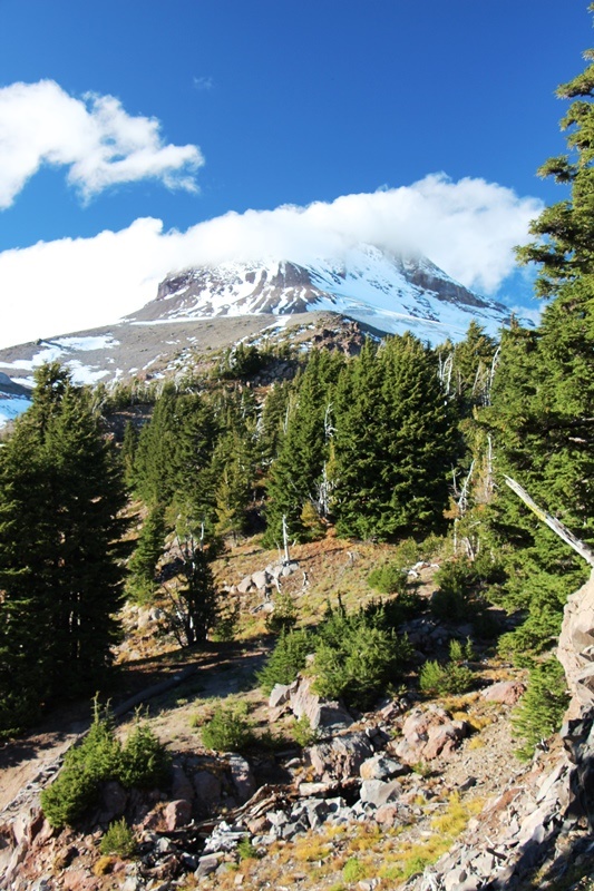
A somber Mt Hood
I parked at the main gate to MHM. I walked the access road to the top of the Daisy Chair, above which I followed Mitchell Creek above Tower 13 of the Vista Chair.
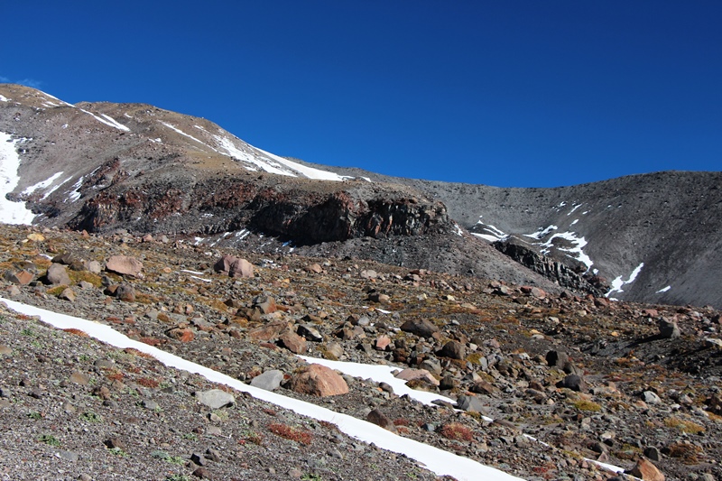
Realizing I was getting too high, I traversed south and west across this country:
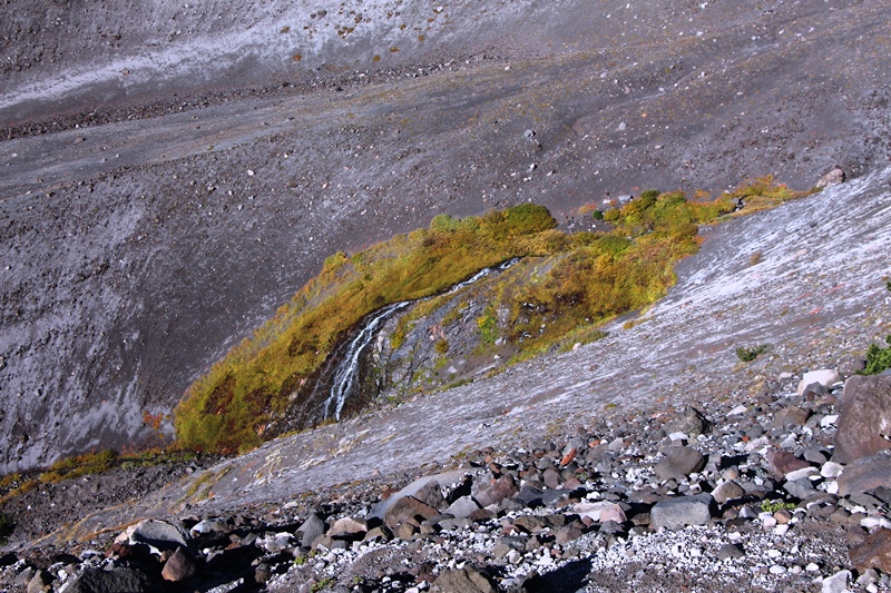
Until I could see the creek bottom to the West (towards Timberline). I then aimed for an island of green along the creek:
I lost about 200 vertical feet descending over very loose sand and small rocks to the creek.
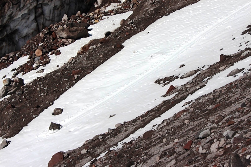
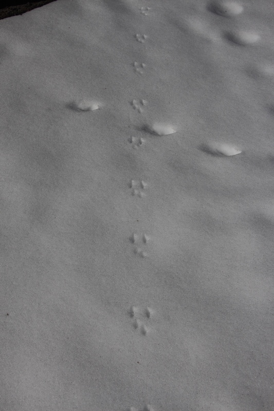
From here I climbed onto the west moraines. I started to run into snow and saw these tracks:
This was very easy going and I moved moraine to moraine until I was on top of the big one.
I came abreast of a formation reminiscent of Mississippi Head.
Mississippi Head East
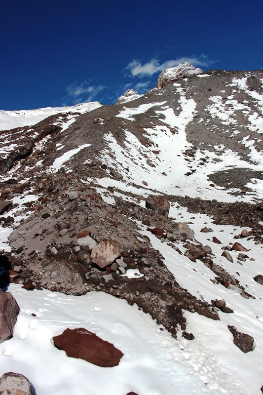
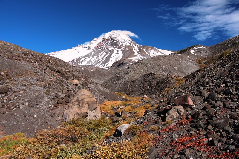
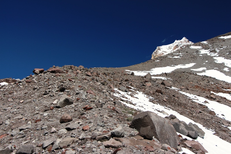
Foot of White River Glacier
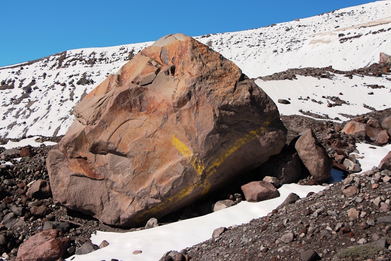
Marked boulder at glacier’s foot.
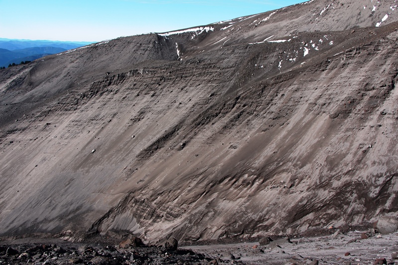
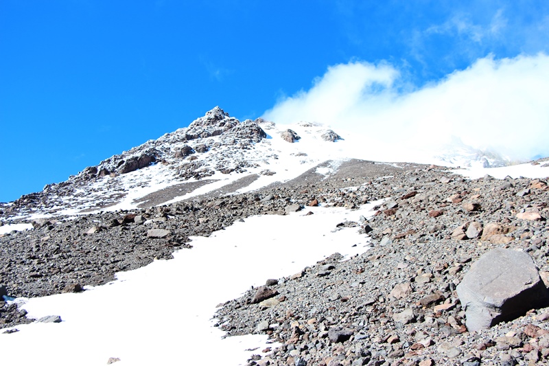
The Slope Steepens. Route is up moraine diagonally to right.
Steeper yet.
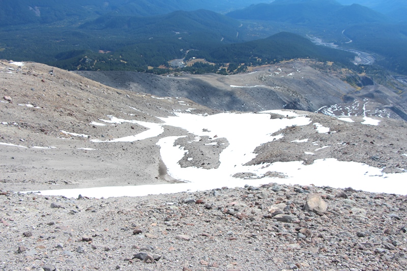
Distant Willow Oasis in the Sand.
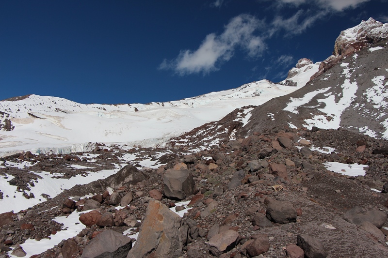
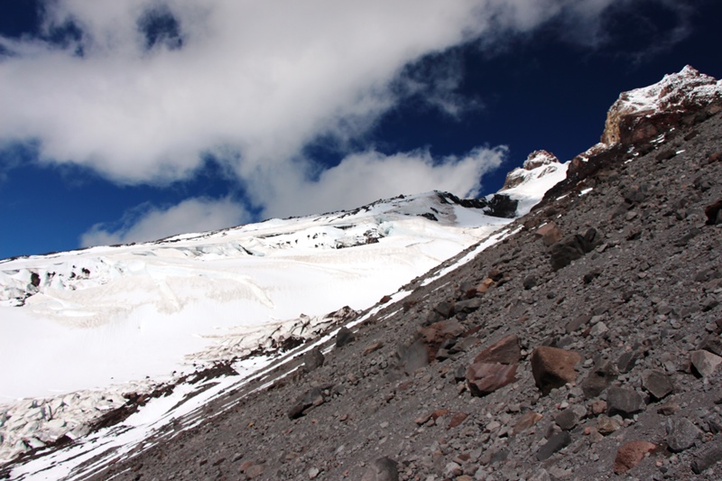
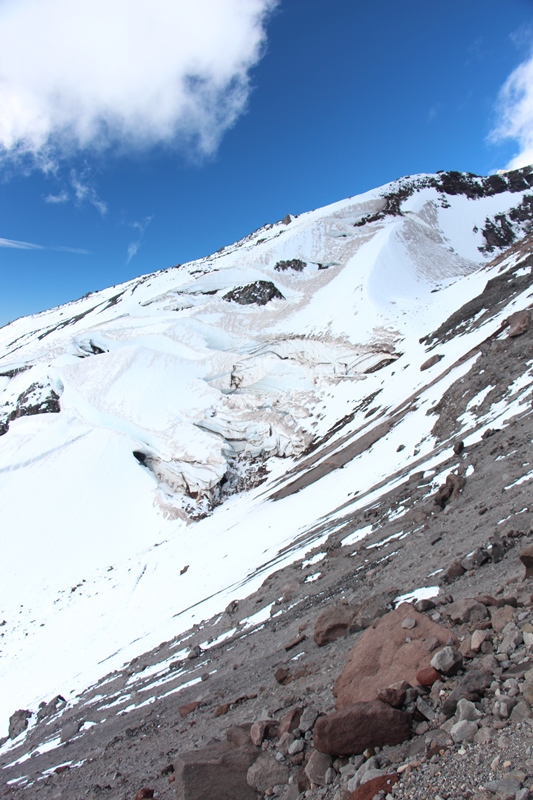
White River Glacier Crevasses:
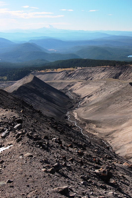
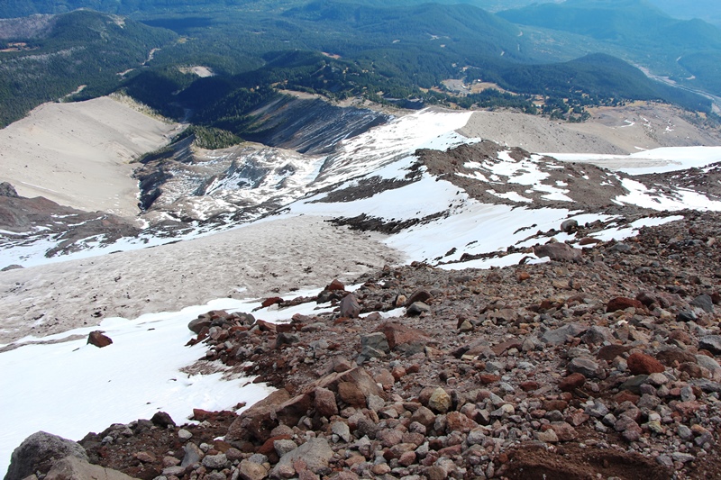
View from 8700 feet. At this point the moraine changes direction cutting off the view to the south. The wind was ferocious. To get out of the wind, I moved off crest of the moraine to the North.
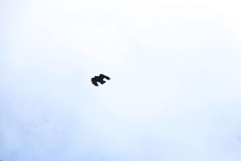
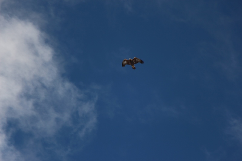
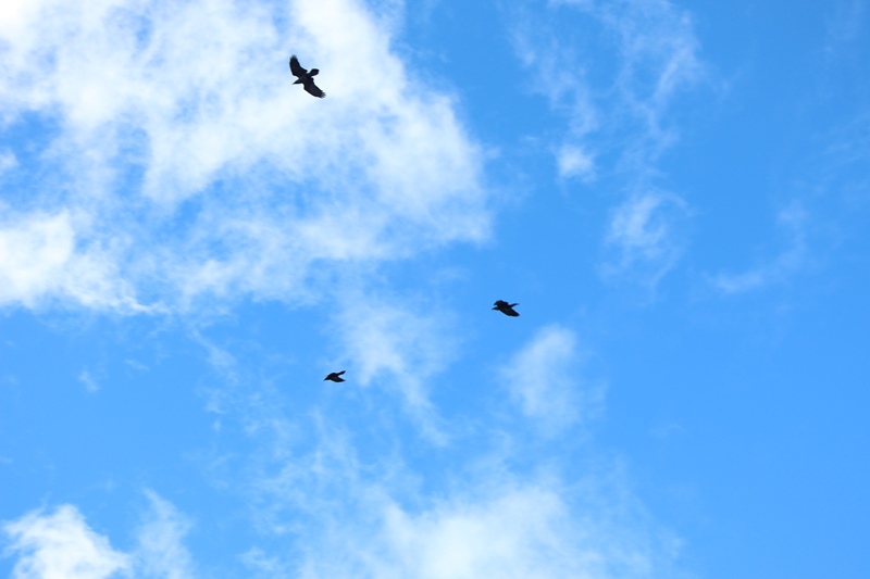
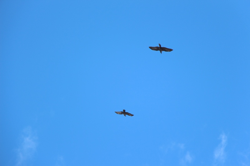
There were many soaring birds taking advantage of the wind; ravens, eagles, hawks, falcons. I had trouble getting clear images—the birds move too fast.
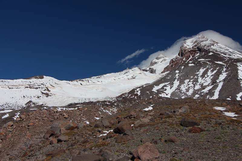
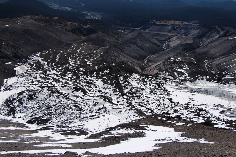
I regained the crest of the moraine, where I had this view of the upper reaches of the White River Glacier:
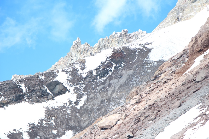
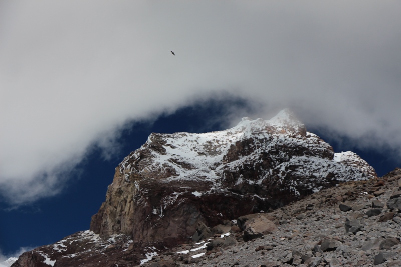
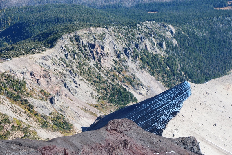
Crest of Hawkins Cliffs
I was now at about 9100 feet. I traversed north across the scree towards the Newton Clark Glacier. In doing so I passed above a band of new snow and the upper reaches of an unnamed snow bowl and Skylar Bowl.
Traversing above Unnamed snow bowl.

Traversing above Upper Skylar Bowl
Boulder matching rock of south end Steel Cliffs—there is rockfall but not today--frozen tight!

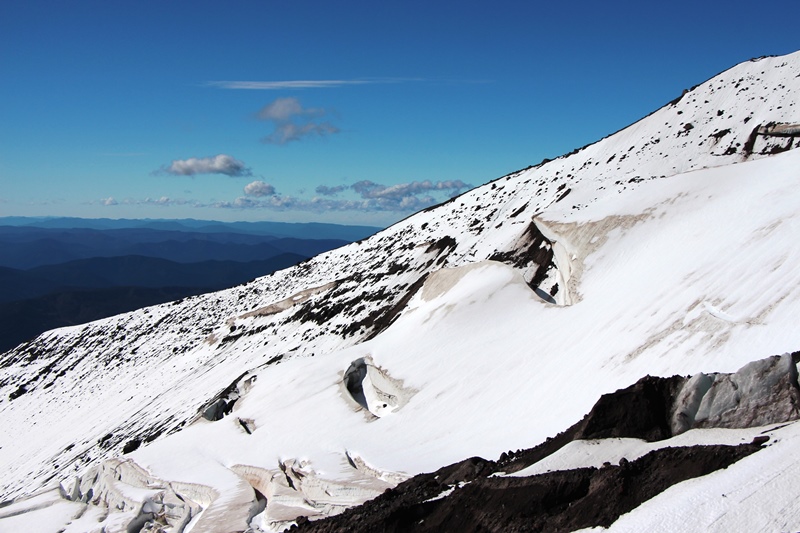
I crossed many snow filled gullies as I moved underneath the Wy’east Face.
Wy’east Face
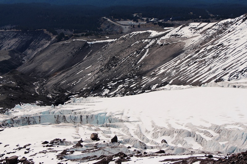
Above Newton Clark Glacier looking down on Mt Hood Meadows.
Gnarl Ridge (left), Pea Gravel Ridge (right).
8000 foot monument—not a good lunch spot today.
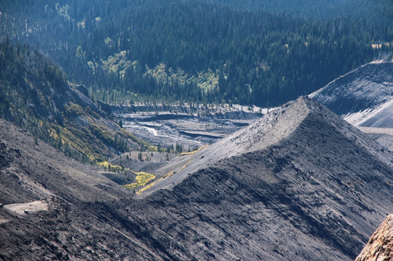
From here I opted to follow the top of Heather Canyon. The wind had been increasing and I had trouble standing during the strongest gusts.
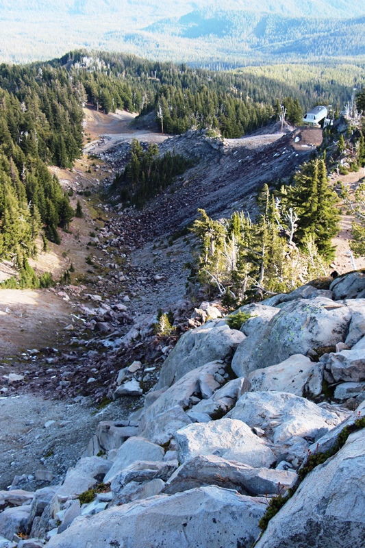
Heather Canyon from cliffs above A Zone.
Lower Elevator ski run.
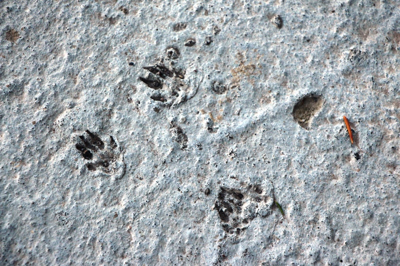
Squirrel footprints in concrete slab at Mt Hood Meadows Ski Patrol building.
Parting Shot—Mt Hood from MHM Ski Patrol Building.
This was an amazing hike. There are some steep and very loose sections, so doing the hike counter clockwise would be easier due to better footing on the climbing. Tolerance for sandy, loose moraines is definitely required. Migrating birds added a lot of interest. The birds glide along the ridges, often very close if they don’t see you. There were fox tracks everywhere. Definitely a wild and exciting day! I will do this hike again with the plan to photograph raptors.
Approximately 8 miles and 4,500 ft elevation gain.
A few weeks back I hiked to the Wy’east Face—a trip I had done several times when I could ski back but never in summer until Sept 19, as reported here:
http://www.portlandhikers.org/forum/vie ... 10&t=20099
While an exciting hike, the summer version was an “out-and-back”, so the back half was kinda repetitious. Could I make a loop AND see the White River Glacier? Yes!! Here’s my route:
A colorful start to a great day.
A somber Mt Hood
I parked at the main gate to MHM. I walked the access road to the top of the Daisy Chair, above which I followed Mitchell Creek above Tower 13 of the Vista Chair.
Realizing I was getting too high, I traversed south and west across this country:
Until I could see the creek bottom to the West (towards Timberline). I then aimed for an island of green along the creek:
I lost about 200 vertical feet descending over very loose sand and small rocks to the creek.
From here I climbed onto the west moraines. I started to run into snow and saw these tracks:
This was very easy going and I moved moraine to moraine until I was on top of the big one.
I came abreast of a formation reminiscent of Mississippi Head.
Mississippi Head East
Foot of White River Glacier
Marked boulder at glacier’s foot.
The Slope Steepens. Route is up moraine diagonally to right.
Steeper yet.
Distant Willow Oasis in the Sand.
White River Glacier Crevasses:
View from 8700 feet. At this point the moraine changes direction cutting off the view to the south. The wind was ferocious. To get out of the wind, I moved off crest of the moraine to the North.
There were many soaring birds taking advantage of the wind; ravens, eagles, hawks, falcons. I had trouble getting clear images—the birds move too fast.
I regained the crest of the moraine, where I had this view of the upper reaches of the White River Glacier:
Crest of Hawkins Cliffs
I was now at about 9100 feet. I traversed north across the scree towards the Newton Clark Glacier. In doing so I passed above a band of new snow and the upper reaches of an unnamed snow bowl and Skylar Bowl.
Traversing above Unnamed snow bowl.
Traversing above Upper Skylar Bowl
Boulder matching rock of south end Steel Cliffs—there is rockfall but not today--frozen tight!
I crossed many snow filled gullies as I moved underneath the Wy’east Face.
Wy’east Face
Above Newton Clark Glacier looking down on Mt Hood Meadows.
Gnarl Ridge (left), Pea Gravel Ridge (right).
8000 foot monument—not a good lunch spot today.
From here I opted to follow the top of Heather Canyon. The wind had been increasing and I had trouble standing during the strongest gusts.
Heather Canyon from cliffs above A Zone.
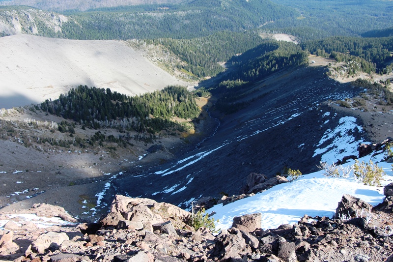
Lower Elevator ski run.
Squirrel footprints in concrete slab at Mt Hood Meadows Ski Patrol building.
Parting Shot—Mt Hood from MHM Ski Patrol Building.
This was an amazing hike. There are some steep and very loose sections, so doing the hike counter clockwise would be easier due to better footing on the climbing. Tolerance for sandy, loose moraines is definitely required. Migrating birds added a lot of interest. The birds glide along the ridges, often very close if they don’t see you. There were fox tracks everywhere. Definitely a wild and exciting day! I will do this hike again with the plan to photograph raptors.
Approximately 8 miles and 4,500 ft elevation gain.