The route was to go up Mitchell Point, find the trail south, then depending on time descend on either Wygant Hill or Viento Ridge. The ridge leading to Wygant Hill is a nice cross country ridge traverse to the Wygant Hill trail while Viento Ridge is a nice x-country traverse all the way down. I've done both and did a TR here.
I departed the Mitchell Point trailhead around 8:30AM and immediately altered the plan as Mitchell Point, which should have been visible from the parking lot, was completely socked in. To climb all the way up there and get nothing but fog sort of defeats the purpose of going to the big viewpoint.
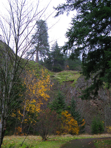
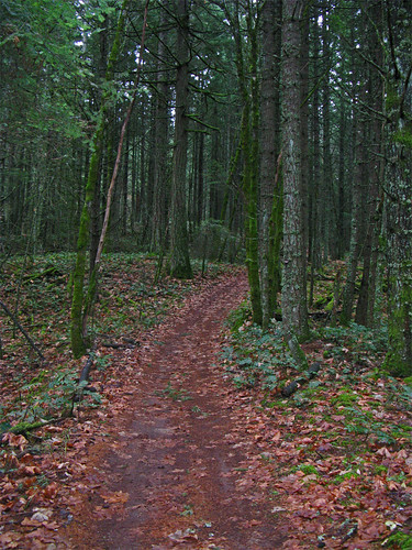
Mitchell point is up there somewhere beyond that big pine tree.
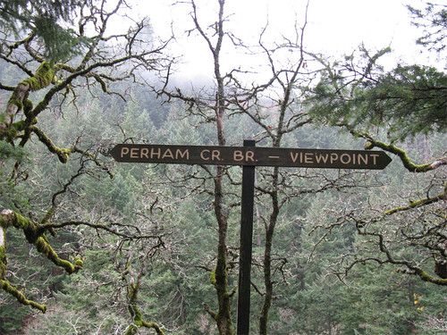
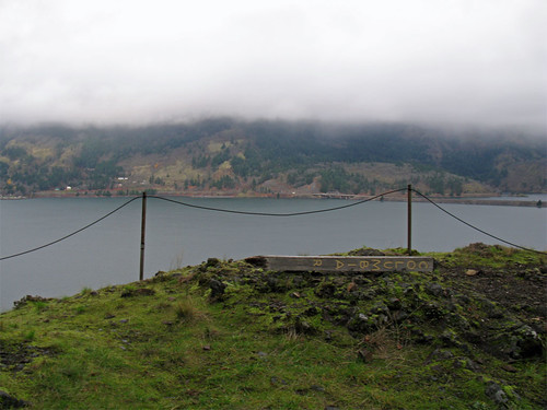
I figured the clouds would lift later in the day so I set about to do the thing in reverse, up Wygant then back down Mitchell Point with mostly clear skies. So I headed off to Wygant Hill. Not long I ran into a sign pointing to a viewpoint. Sullivan calls the viewpoint overgrown, can't argue that but with no leaves on the trees there was something to look at and the twisty oaks with lichens on the branches were pretty.
Here's the sign.
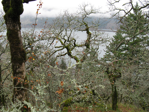
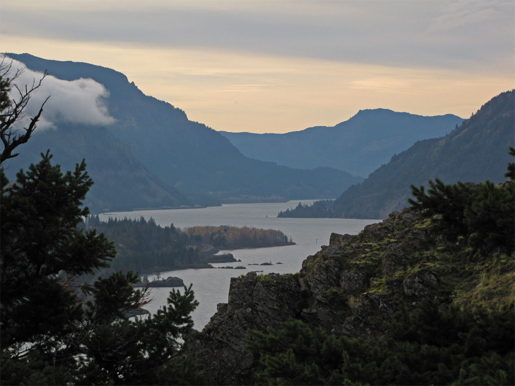
Here's the view.
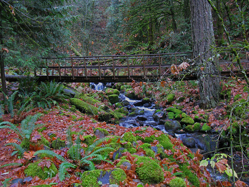
Here's the other end of the sign, the Perham Creek Bridge - very wet and slick.
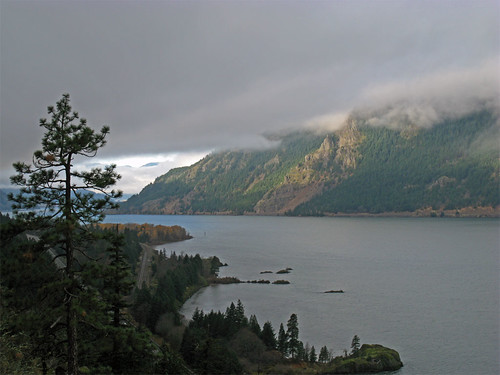
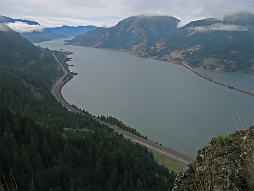
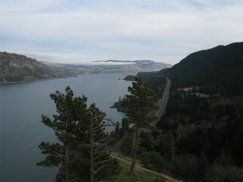
I continued on the Wygant trail to another viewpoint, this one unobstructed with fine views albeit low elevation up and down the river.
The post in the foreground says COLUMBIA R as if we didn't already know. Drano Lake on the right.
I admired the view up and down river.
It was here I got my treat for the day, out of the corner of my eye I sensed some movement, seeing something big I started taking pictures.
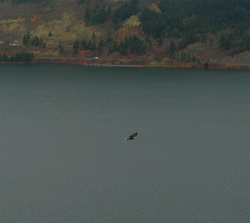
This was the best one, happened so fast it was gone before I could get my mega-zoom out.
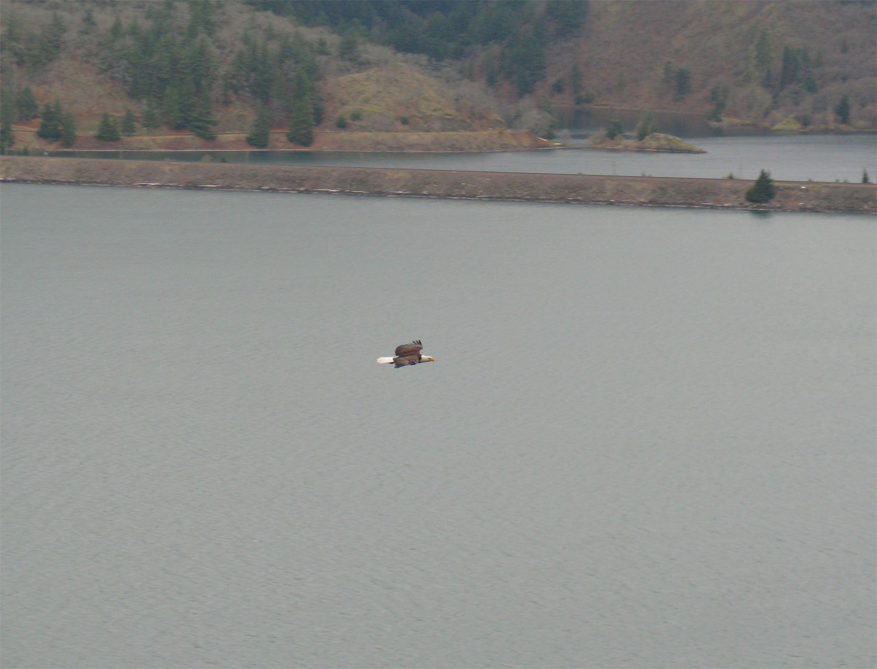
I saw a couple more during the day - pretty exciting although I'm pretty sure bald eagles are common sights in the Gorge.
From this viewpoint I charged up Wygant Hill proper to do the loop but ran into the western end of the Chetwoot Trail. Now Sullivan refers to the Chetwoot trail as abandoned and I'd already done Wygant Hill so I made another alteration to the plan and headed up the Chetwoot trail and the Perham Creek crossing. The trail is really in good shape, I don't know why Sullivan would label it abandoned as it clearly gets used - maybe he means abandoned by the State of Oregon. There is one spot of trouble just after crossing Perham Creek on the east side; there is a small washout that could be difficult for some to manage, but someone has thoughtfully pounded a couple pieces of rebar into the trail to hang on to when negotiating this section. Not bad, really.
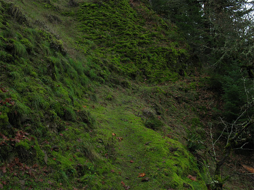
Here's a section of the Chetwoot Trail on the approach to Perham Creek from the western end.
The return on Chetwoot to Wygant Trail crosses the powerline right of way - watch out for the slight jog in the trail at this point as the trail does not pick up immediately after crossing the powerline road - have to go east 50-100 feet to catch the trail going north on the other side. There is flagging marking both ends.
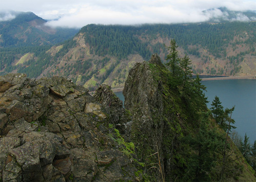
I made it back to the Mitchell Point trailhead and by then the clouds had lifted and I could see the Pt from the parking lot. So up the hill I went. The trail climbs steeply up talus slopes to the powerline road (same powerline as mentioned above) then goes north up the spine of Mitchell Point. Some serious exposure and I'm not sure exactly where Sullivan thinks you should stop - probably a few feet back from the little path that goes out to the point where the next step would put you into the parking lot. I went as far as I could. The views were great as expected.
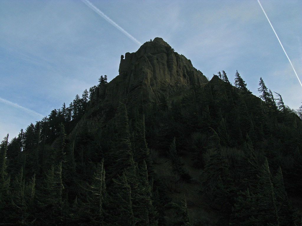
A look at the tippy-top.
From here I returned to the powerline road to start my search for the trail heading south. I did not have to look very hard, the trail is there and has been taken over by the ATV crowd. I followed it south for a mile or so just to make sure it went where I thought it would and yes, the trail eventually aligned itself with the trail shown on the USGS TOPO maps. Well used with some litter and ATV damage but useful.
Here's what it looks like for the most part:
I backtracked down the hill and headed for home. There are two "points" at Mitchell Point, the one way up there and the one next door to the parking lot. There is a side trail branching off from the main trail giving access to the backside of lower rock outcropping.
Here's the backside of the lower point. Easily negotiated with the anticipated exposure at the top.

Views from the lower Mitchell Point.
Towards Hood River.
Downstream.
Looking back on Mitchel Point from the lower point.
I played tourist at the Mitchell Point Marker:
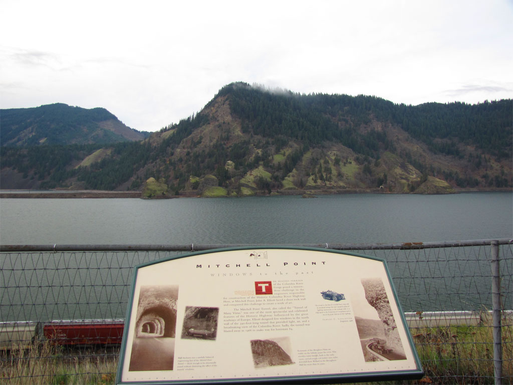
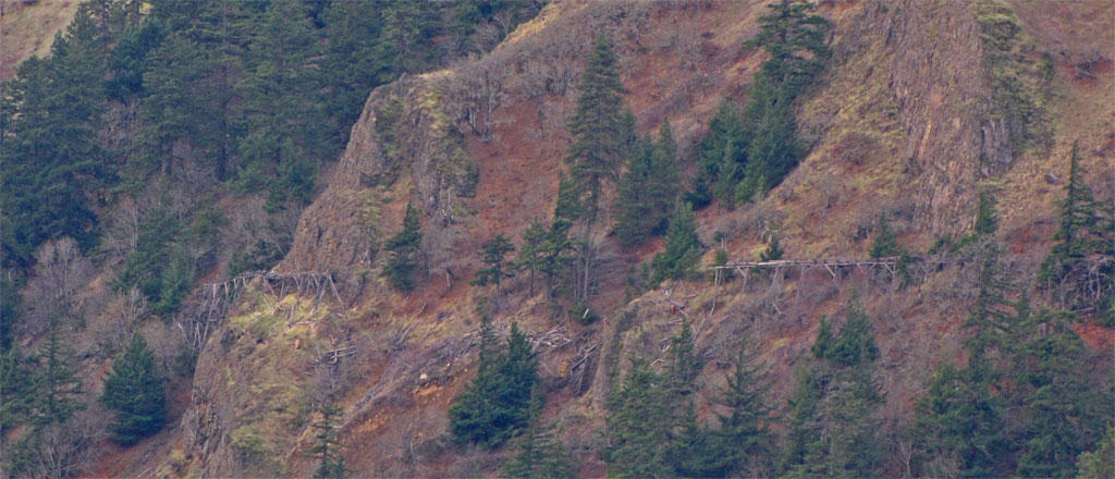
There's mention of a flume on the Washington side used to transport unfinished boards - I pulled out the mega-zoom for a closer look, pretty neat, not long for this world.
Great day, after seeing the eagle I could have left for home and considered the hike a success. There are lots of low elevation hiking opportunities in this area, the powerline road seems to have a mix of roads and trails along its length which might be interesting.
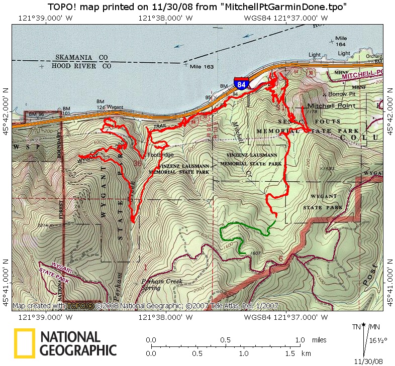
Call it 10 miles and 3000' feet. Here's a map of my travels, looks like spaghetti. The red trail GPS track is the part I did today, the track marked with green is the section of the connector trail I did not travel on this day but I'm sure it eventually connects to the roads to the south.