Hike Info:
Trailhead: Cold Springs Trailhead, lat � 46.13653 / long � 121.49811
Total Miles: 11.5
Elevation Gain: 6700'
Difficulty: Very Hard
Family Friendly: No
All Season: No
I took they day off work Monday to climb Mt. Adams with some friends. It was my second time up the dog route, but first time as a one day climb. Our day started early with a sausage, egg and fresh muffin breakfast at our host's home in Trout Lake, the nearest town to the trailhead. It was a great way to fuel up before the climb... thanks Kathy!
Anyhow, we got to the trailhead about 5:00 and were on our way by headlamp by 5:20. We set a slow and steady pace to get warmed up for the big day. The first couple miles follow an old forest road past the Round the Mountain Trail #9 to timberline. Once there, there was enough light to put the lamps away and use the light from the rising sun.
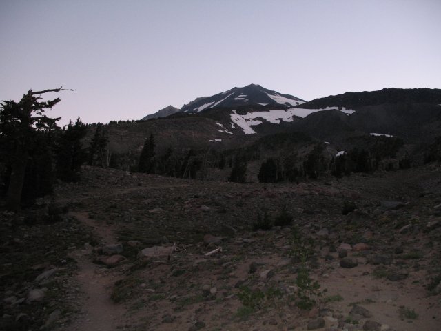
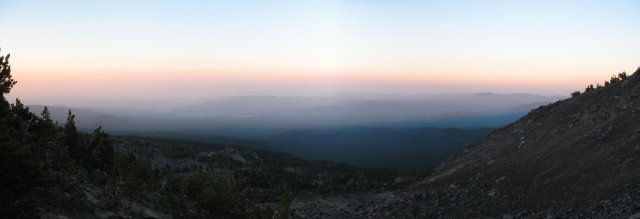
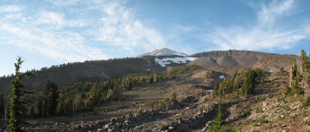
At timberline, we crossed the dry drainage below the Crescent Glacier and ascended the ridge to the west of the glacier to about 8200' and our first encounter with snow.
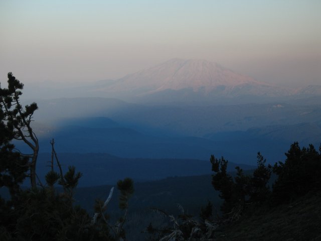
St. Helens and Adams' shadow from the ridge west of the Crescent Clacier
Look up towards Piker's Peak, the false summit from ~8200'.
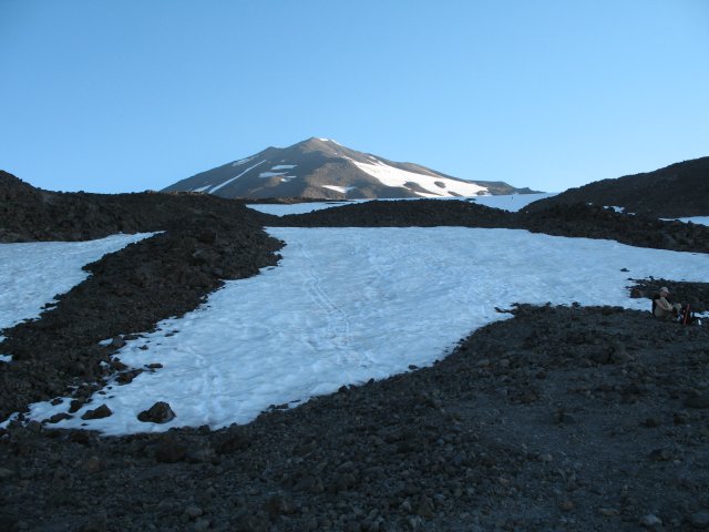
The rising sun from the snowfield on the way to the Lunch Counter
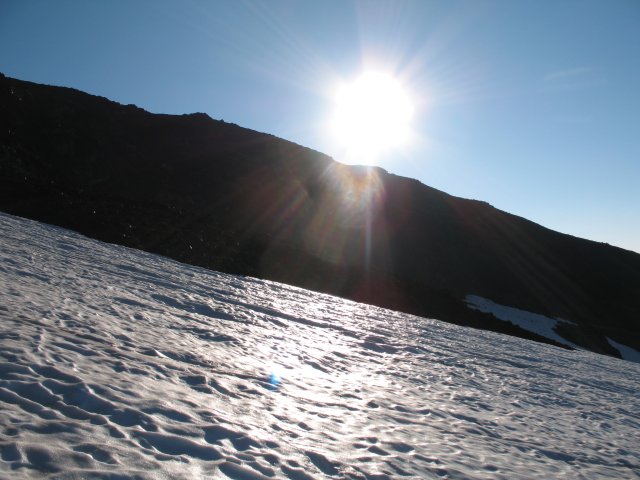
Approaching Lunch Counter
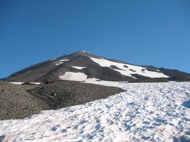
Relaxing and munching at Lunch Counter before heading up the ~2300' pitch to Piker's Peak.
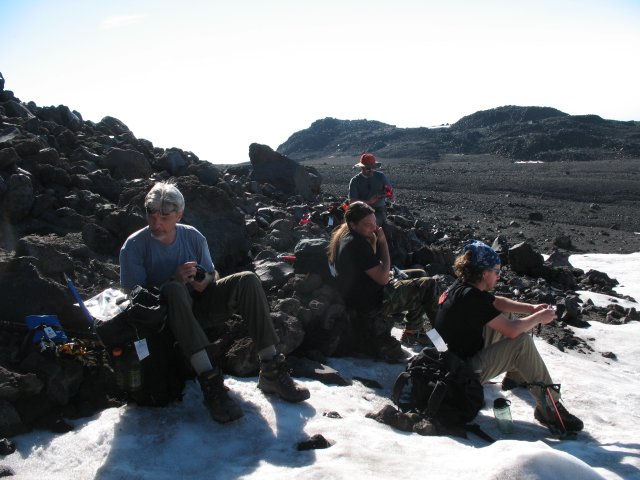
Looking up towards the false summit...
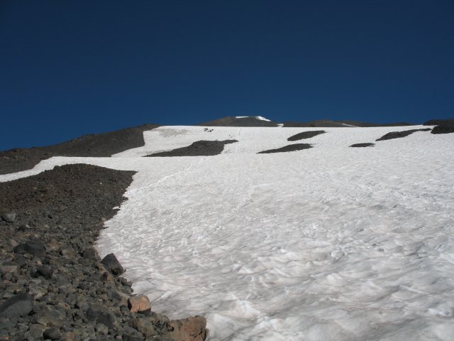
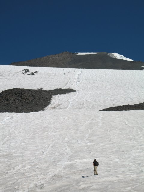
An overexposed shot of the steepest (~30 deg.) part of the climb... and best part of the glissade down!
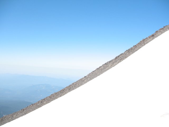
Heading up the ~600' of rock to the false summit. Mmmm... screeLICIOUS!!!
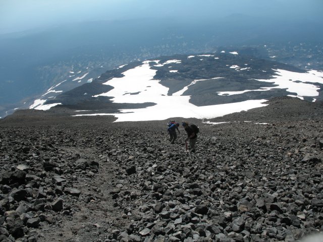
Looking down at a meltwater lake from the false summit... at ~11,600'
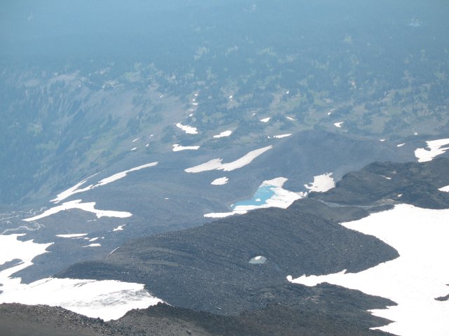
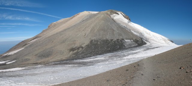
The true summit, about 3/4 mile NW and 600' above us.
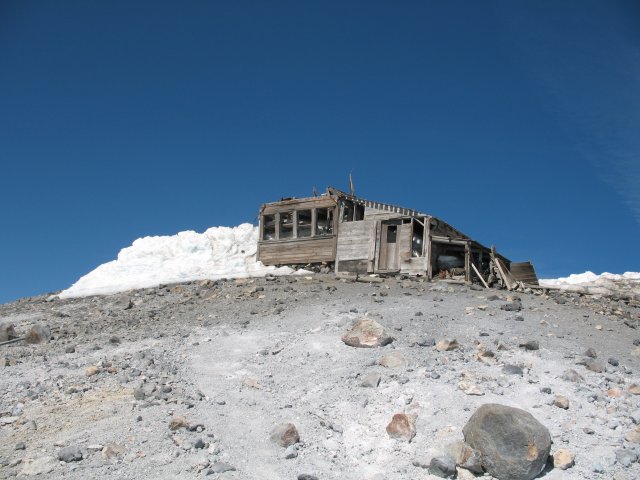
The old mining shack on the edge of the summit plateau...
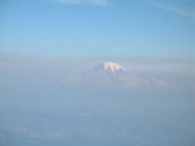
A hazy Rainier from the top...
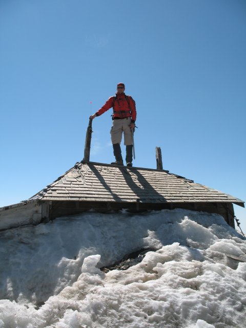
On the roof...
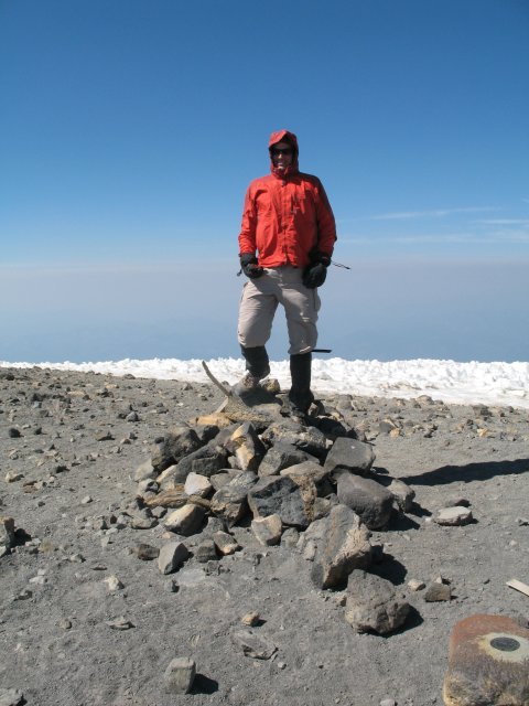
On the true summit... 12,276'. 5.7 miles and 6,676' from the trailhead.
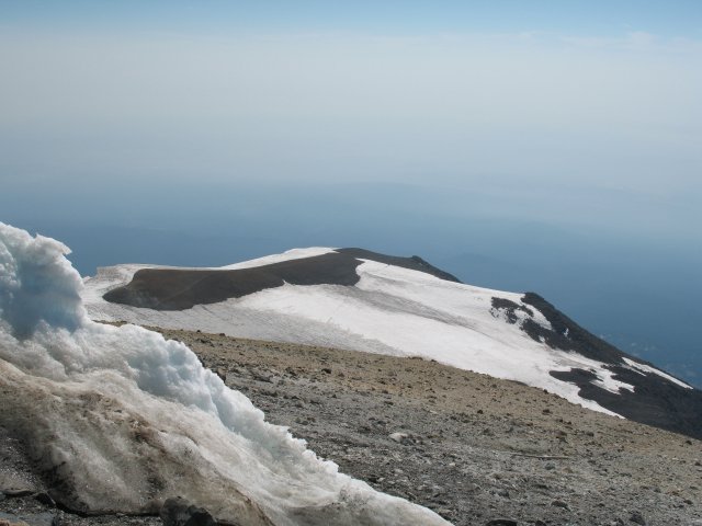
Looking back towards Piker's Peak
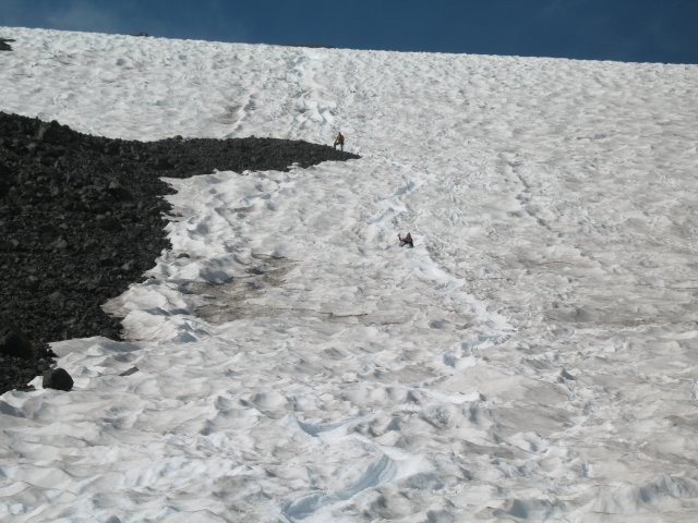
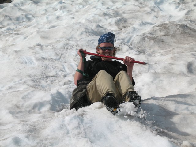
Glissading down...
Parting shot from timberline... looking up towards the remains of the Crescent Glacier...
It was a great day with great people. Everybody summited at their own pace, four of us for the first time. I even got to get a bit of shuteye at the summit and play target practice with the blue bag on the way down!  The only things that could have made the day better would be clear skies and more snow. The snow part was my fault for not planning the climb for early July. The only things that could have made the day better would be clear skies and more snow. The snow part was my fault for not planning the climb for early July. |