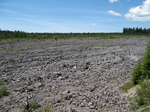
After last week's easy stroll, we wanted something a bit more challenging. We first tried to do Ape Canyon in late June, but snow kept the road closed then. This time there wasn't even a hint of snow. Just before the trailhead, there's a dramatic viewpoint on a lahar that's recovering well from the eruption. It looks a little barren at first, but notice how young the trees are? This area is well on its way to becoming another forest. This spot is worth checking out even without the hike.
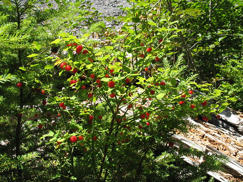
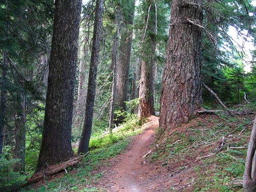
The hike itself begins in a young forest, but stays adjacent to the lahar & stream the entire way. Before long, we encountered berries. There were plenty of just about every kind you can imagine. And it only got better from here.
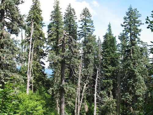
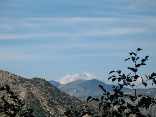
We didn't stop to look at all the signs and descriptions of the lahar, but obviously a LARGE portion of Mt St Helens redeposited itself on the southern flank. The trees you see on the horizon here are all new growth on top of the lahar. The rocky portion in the foreground is just the creekbed that has been cut out by the stream.
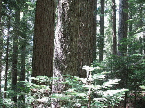
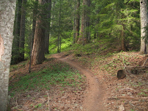
After about a mile, the trail enterw some spectacular old-growth and stays in it for the duration. The old forest is dominated alternately by doug fir, hemlock and noble fir. I was surprised to discover that one of the coolest old-growth hikes I've done sits right next to an area of obvious volcanic destruction. The contrast is really remarkable.
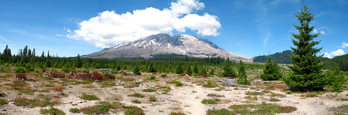
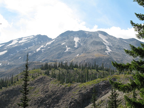
Every mile or two on the trail is a viewpoint of St Helens. Each one grows more spectacular.
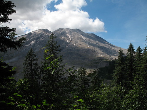
At the end we were treated to views of the mountain to the northwest, Mt Adams & what may be Goat Rocks to the east & Mt Hood to the south (we didn't get any clear pics of Hood due the the haze).
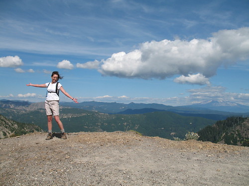
Can you tell we were having fun at this point? Between the lovely spokesmodel and Mt Adams, on the horizon, is what I think is Goat Rocks. This is only visible on the "large" size of the picture. Can anyone confirm that those jagged cliffs are/are not Goat Rocks?
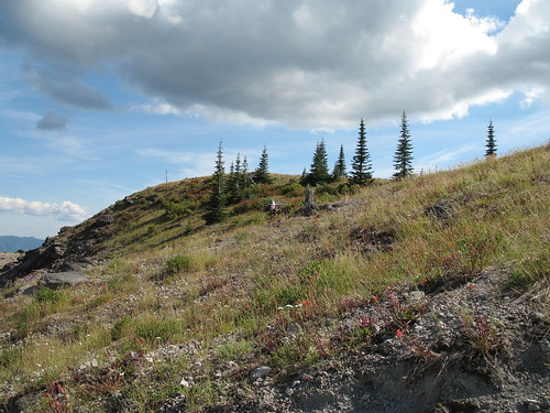
The total elevation change was just 1300-1400 feet, but wow what views you get for such little effort! There's also a pretty meadow on top, in which we saw a couple of bikers spend an hour picking berries.
We even had a couple of shots of Ranier, when it chose not to hide behind clouds.
This one gets a 9 from both of us. Apparently lots of bikers had the same opinion. We met a few dozen of them and just five or six hikers. Everyone we met was friendly and happy to yield the trail when we crossed paths. I'd recommend this hike for just about all levels of hiking folk, (though it might be a bit much for a couch potato). The proof is in the pudding--we took 403 photos in just 5 hours.
Complete pics can be found here. | 