Portland Hikers ArchiveReturn to Portland Hikers Archive Herman Creek, Saturday 5-3-08 Posted by Charley (2008-05-04)
| Hello all,
Yesterday I explored Herman Creek, and here are ten photos:
I started around 11:30, parking my car beside the highway. I thought I was parking at a Subaru rally, there weres so many Subies, and I think my Honda got nervous! Following William Sullivan's guide, I walked up the closed campground road and up the first part of the trail to the first junction.
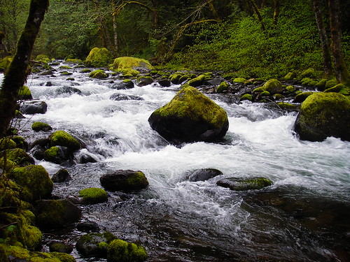
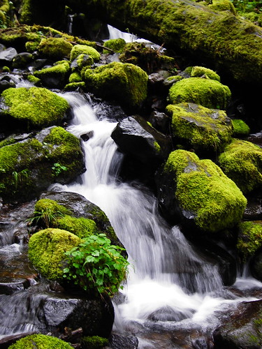
Here I took a right and headed down to Herman Creek. This is the creek, taken from near the bridge:
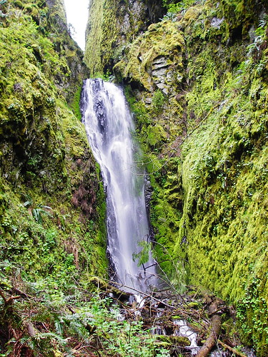
 Then I headed back up out of the valley and west toward the PCT, which I followed briefly to Pacific Crest Falls, which is a sort of shy, two part fall hidden in a cleft in big basalt cliffs. I walked up the waterway to get a closer look at the lower fall:
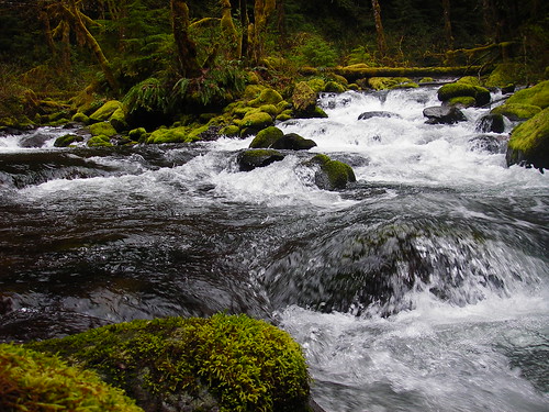
 I then headed back the way I came, and took the left hand fork at the earlier junction, which leads up the Herman Creek Trail. I followed this for several miles up the valley, passing several lovely falls on the way. I passed this un-named falls at the same time I met two trail runners and their two large dogs coming the opposite way. In the spirit of the pioneers, I think maybe I should name this falls "Two Trail Runners and their Two Large Dogs Falls":
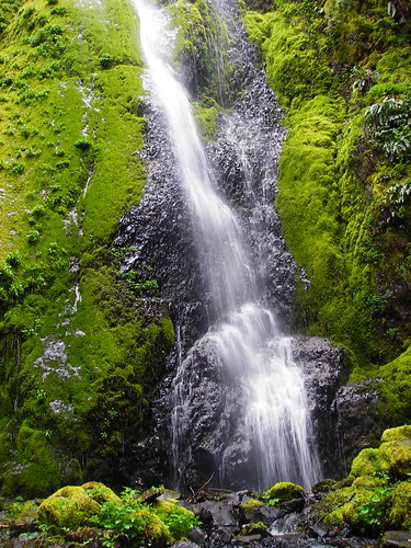 Unfortunately, it's a clunky name for a waterfall. . . I also forded Camp Creek:
 I walked to the junction with the Casey Creek Trail, and took that downhill to its end, at the Forks of Herman Creek:
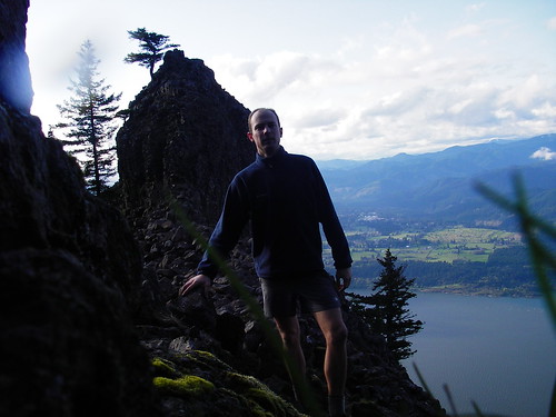
 I then retraced my steps back to the Herman Camp area, and headed up Nick Eaton Ridge on the Gorton Creek Trail. Walking through the impressive old growth forest on the ridge made the day perfect. Sorry, no photos- I can't seem to take a worthwhile picture of those big trees. Arriving at Indian Point, I waited out a small rain cloud by sheltering under some windblown firs. Then I walked out onto the point (don't worry Mom, I didn't climb out onto that rock- I really like being alive):
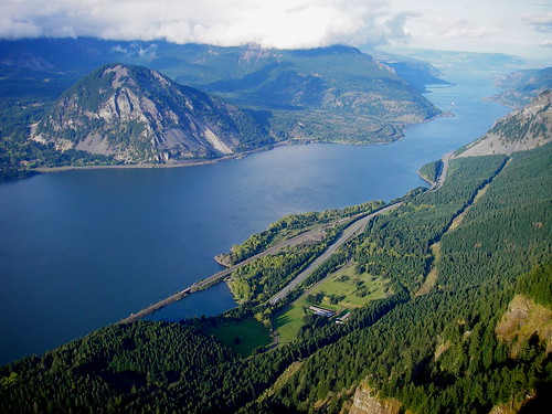
 This narrow feature made for some great views of Washington (Wind Mtn, Dog Mtn. covered in cloud; Drano Lake; Bourdoin Mtn. in the distance) (correct me if I'm wrong):
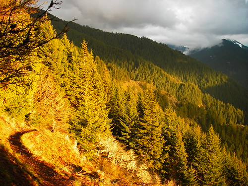
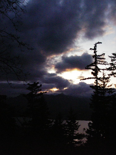
 Returning to my car via the lower reaches of the Nick Eaton Ridge Trail, I was treated to rocky meadows and views back up into the valley: I could also see the sun setting on the Gorge:
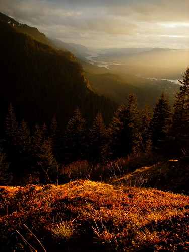 The sun set as I was headed down for the evening. I wished I was camping out that night.
 Thanks for reading. Charley | Re: Herman Creek, Saturday 5-3-08 Posted by Splintercat (2008-05-04)
| Cool report, Charley! I haven't been down to the confluence, before - great photo! Definitely on my list of photo destinations now.
Tom | Re: Herman Creek, Saturday 5-3-08 Posted by pablo (2008-05-05)
| Great report, I was wondering if I was seeing Indian Point from the Wyeth trailhead the other day and your Indian Point photo confirms that I was as I recognize the flatten tree on the top. Beautiful photos.
--Paul
|
Return to Portland Hikers Archive
Disclaimer:
Information found on PortlandHikers.org and PortlandHikersFieldGuide.org is
provided by website visitors and volunteers and should be considered anecdotal. All trails
and directions and subject to current conditions. Trails and roads can be rerouted due to
natural events and the website is not able to provide current information for every hike.
Please verify against two other sources before planning a trip. Outdoor activities present
inherent risks. Portlandhikers.org, nor any of its members, accept liability for injuries
relating to information found on this website.
|
Powered by phpBB © 2008 phpBB Group
|
|
© 2008 PortlandHikers.org - No content shall be copied or downloaded without permission
|
|
 |