I didn't know I was going to visit Central Oregon until the night before, right before I went to bed. I love the freedom of not being tied down, and can take off whenever I get my days off :D
Started at 7am with the hopes of getting to Smith Rock by 11 at the latest. No such luck as the route I took (I-5 to Salem, then 22. Using 26 from Beaverton during morning rush hour? No way). contained too many photo opportunities.
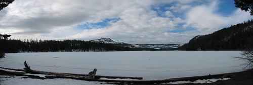
One of which was a frozen over Suttle Lake
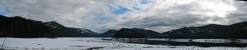
Couldn't help stopping at Detroit Lake either,
then when I arrived at Sisters and had all these panoranmic views of the mountains..
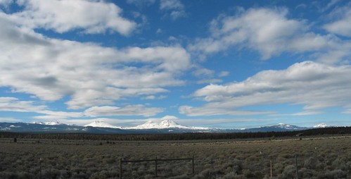
Just a sampling of my stops. All told, it took me an extra hour to arrive at Smith Rock:
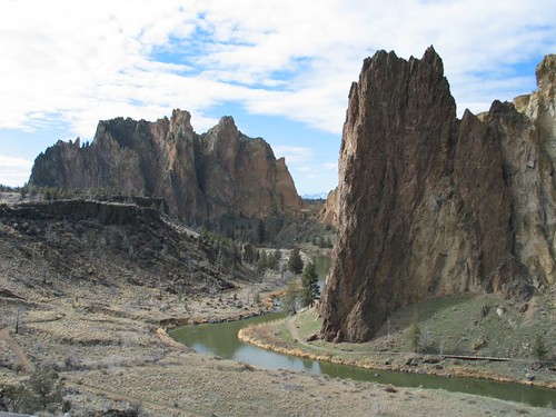
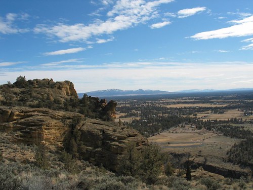
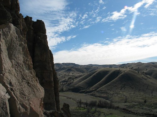
Absolutely amazing. Just the sight of it from the highway made me feel.. awed.
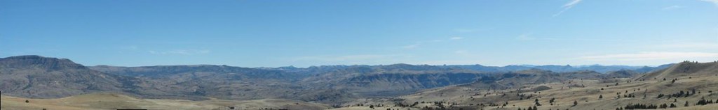
A view from the summit:
At first I was disappointed I didn't see any rock climbers, then on the way back on the loop, I spotted them. Apparently they all wanted to do this side. Here's a couple:
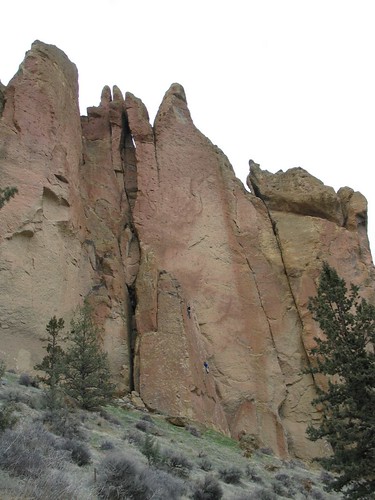 
The little black arrow should help you spot the climber there. It just totally puts into prespective just how enormous this natural wonder is. Or how insignificant we are.
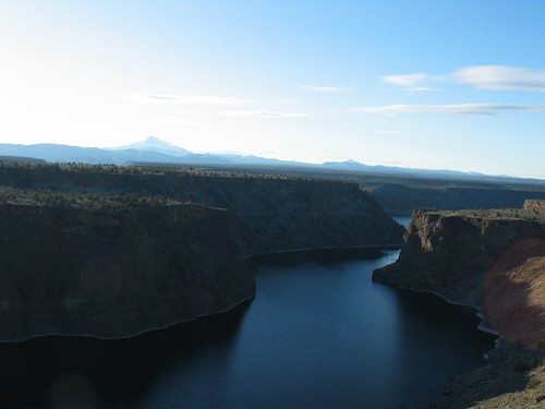
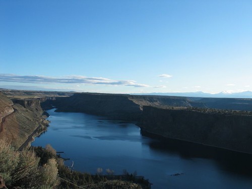
Next stop was The Cove Palisades:
There is a 6 miles hiking loop one could take to the top (of the plateau) with views of the Palisades. I, unfortunately, lingered a little too long at Smith Rock and was afraid I wouldn't beat the sunset coming back down. Anyway, I found viewpoints a plenty on the road.
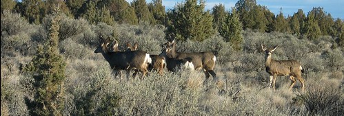
And saw a herd of deer:
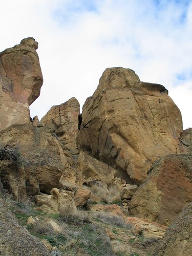
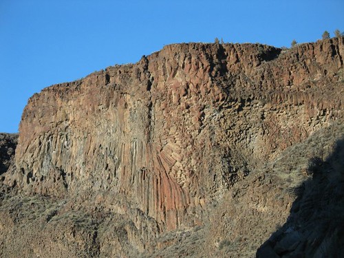
One of the many interesting rock formations in this state park:
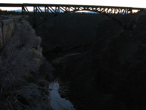
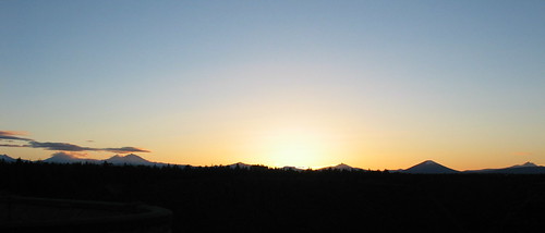
For sunset, I drove back down 97 to Peter Skene Ogden State Park which doubles as a rest stop. Nice little canyon. With a sign proclaiming that it has claimed many a dog's life and advised people to leave their pets in the car.
Sunset:
The next day, only two stops as I had to get back to PDX by the afternoon. Both stops were John Day National Monuments.
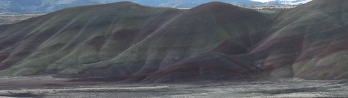
1)Painted Hills at sunrise:
The Painted Cove (or something):
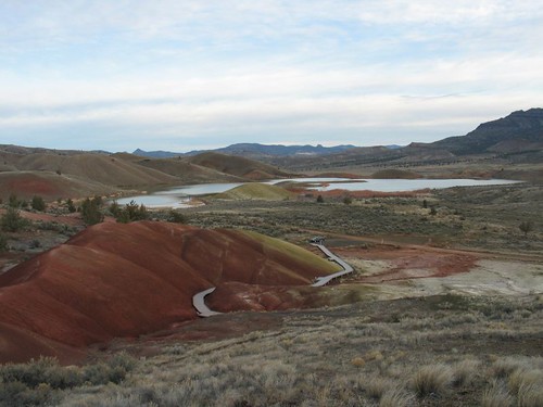
Mine was the only car there for the duration of my entire stay. Granted, it was at 7am.. The lake in the above picture is on private property, but there's a sign welcoming visitors to enjoy the view (but no hunting and etc). I walked to it from the parking lot as it wasn't far (and it was a gorgeous morning).
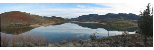
The lake up close:
Typical (though, really, the "typical" is beyond words) painted hill:

Second stop, the Clarno Unit:
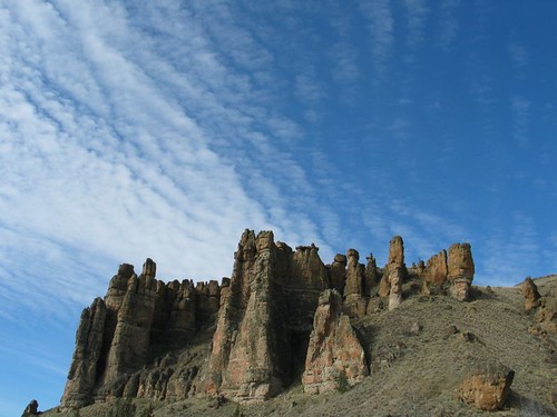
The Clarno unit have a wonderful little picnic area and it's definitely family friendly. A little trail goes right up against the cliff sides and it is just beautiful. I saw a little unofficial trail that goes up onto the top of the cliffs and I was sorely tempted to do it as no one was watching (during my hour long visit, I was the only soul there. And I believe there was a total of 5 cars that drove by on the highway), but sense and my inability to break rules snapped me out of it.
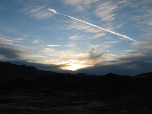
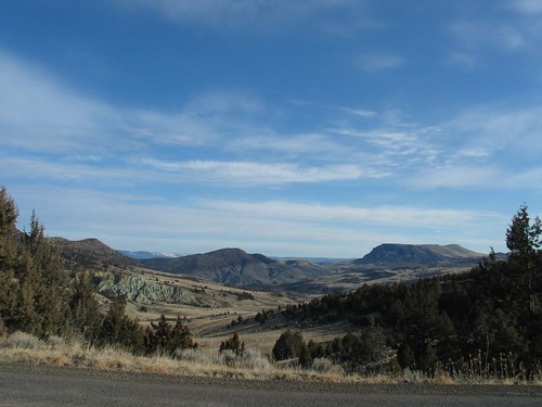
On the way home, some scenes from the highway:
That wrapped up my two-day trip. It could all possibly be done within one day if you managed your time wisely.
Hike summary:
Smith Rock- Getting to the summit from the bottom is about a 700' gain in around half a mile. If you opt to do the whole loop (a nice walk by the river) that's another 2 miles or so of relatively flat surface. Watch out for cyclists. I spotted all those climbers on the west face.
The Cove Palisades- As stated, there's a six mile loop with a view point. 600' gain in all. I didn't hike it :/ maybe next time.
Painted Hills- There's 4 different trails. Two leads to viewpoints, two with short loops with interpetative signs explaining what's going on with the hills. NONE of the trails are more than 2 miles round trip and only one with any measurable elevation gain.
Clarno- Another easy hike. Again, less than 2 miles. The Arch Trail (an off-shoot of the main [and only] trail) is short but involves a climb (I think it was around 300 or 400 feet). Takes you right below the Arch and it's pretty neat. Very nice views. | 