Portland Hikers ArchiveReturn to Portland Hikers Archive Aldrich Butte and Table Mountain 6-17-07 Posted by Stevefromdodge (2007-06-18)
| Sunday morning dawned a little on the bleak side, but the forecast promised improvement. Hoping for a day like sparklehorse had, I decided to do a long put-off trip to Table Mountain.
I had quite a bit of trouble with the Aldrich Butte Trailhead. It looks like our Field Guide instructions are off by quite a bit, but I'll be fixing that today. I finally just parked under the powerlines and started walking up the access road. I found a sort-of developed trail that headed into the woods. In about a half mile I came to what could only be the old road that makes up the Aldrich Butte Trail. I continued up the WWII era road to the top of Aldrich Butte.
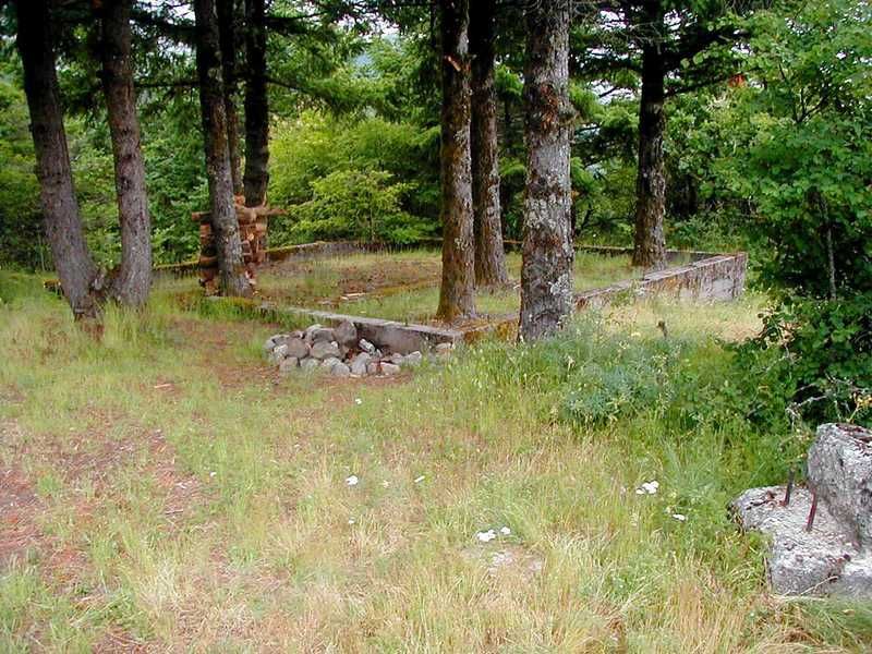
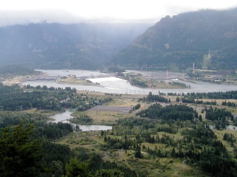
Here's a view of the building foundation there and another of Bonneville Dam.
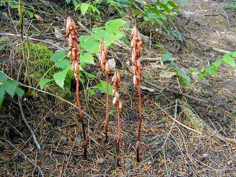
Though the weather was sloooooowly improving, but I was beginning to have my doubts. Still, proving foolhardiness is the greater part of valor, I headed on up to Table Mountain. The fog never did really lift, so I spent a lot of time on closeup shots.
For the most part, the lower trails, most of which are actually old roads were in good shape and easy to hike. The Table Mountain "Trail" on the other hand is a mess. This is really a candidate for a rebuild, although the natural topography is going to limit things a lot. The first 2/10 of a mile goes straight up the side of the mountain. It was pretty slick with mud and I saw a woman slip pretty bad. Come to think of it, I've still got a bit of job ahead of me, getting the mud out of the seat of my pants, too. This portion could be easily rebuilt with switchbacks to ease the grade.
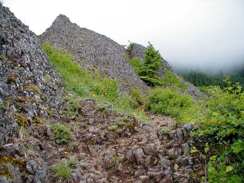
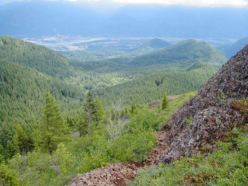
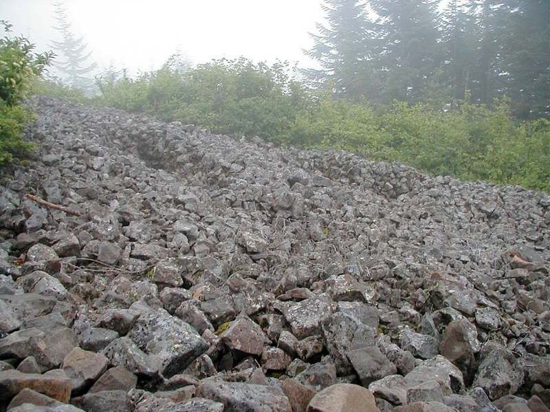
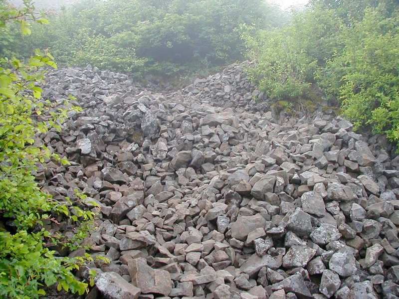
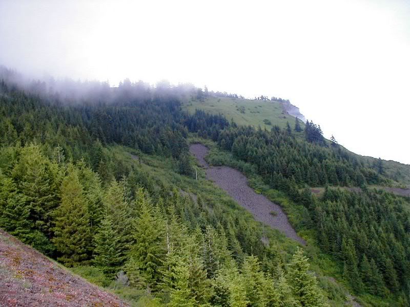
After the short timbered piece, the trail breaks out into a rocky area. Building a trail here is going to be difficult at best. There's an obvious attempt at a switchback, but the 10 pound rocks are just made for shifting and the trail is tenuous at best. About 4/10 up is a large series of rocky spires that provide a good windbreak. Unfortunately the trail here degenerates further into a web of interconnecting use paths and false starts, all of them treacherous with loose rock. I had to backtrack a couple of times when the route I chose dead-ended. This section is the most difficult trail that I've ever done. Unfortunately, I don't think improving this is a job for a weekend volunteer trail crew. Making a decent trail here would involve moving a LOT of rock and probably creating some masonry work or artificial stairs. In any event it would be a big budget item.
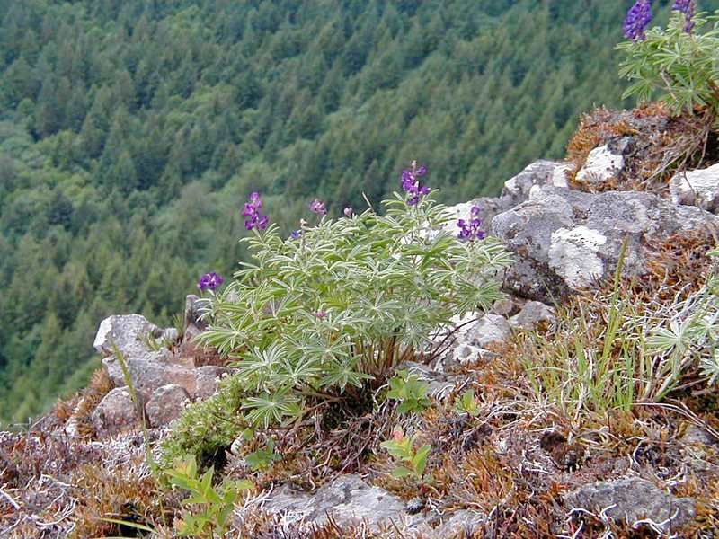
Here's a couple of views of the trail in this area.
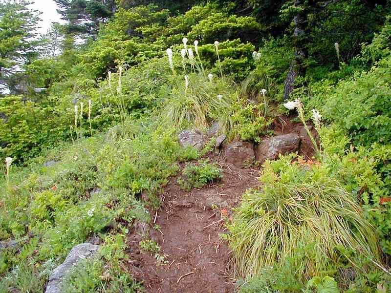
About 6/10 of a mile up, there's a large shelf that makes a perfect resting spot. The trail from here up is better, if overgrown. The trail stays steep as #&$#, but the footing is a lot more solid. The trail here alternates between open, cliffside sections, where a muddy slide could take your over edge, and small forested sections where the trees and plantlife are overtaking the trail.
There's another rocky section near the top with what may be a native cermonial site and a cool set of talus switchbacks.
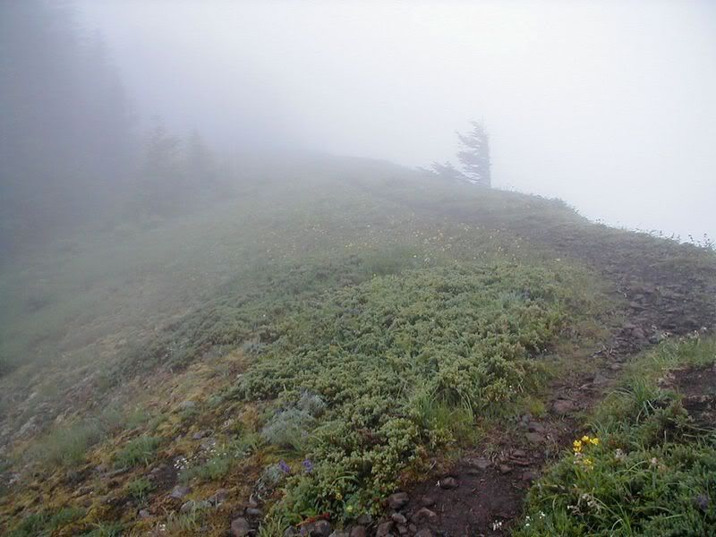
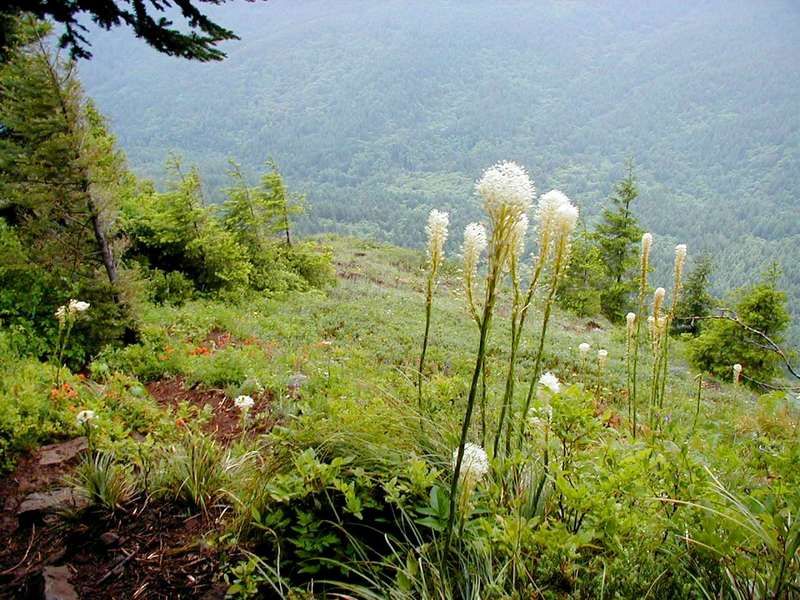
The only decent quality trail is right on the very top of the mountain. Table Mountain turns out to be properly named with the summit meadow a perfectly flat surface. Of course yesterday that beautiful trail was marred by a biting wind and the ever present summit fogbank.
I found a sheltered spot and sat for an hour, eating lunch and hoping the weather would clear, even for 5 minutes. No luck.
Of course, as soon as I battled my way back down:
I might have mumbled an expletive or two.
All of this trail griping aside, I'll be right back there on a nicer day.
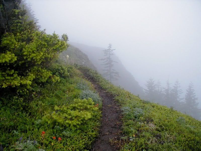
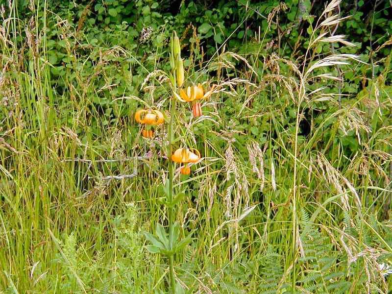
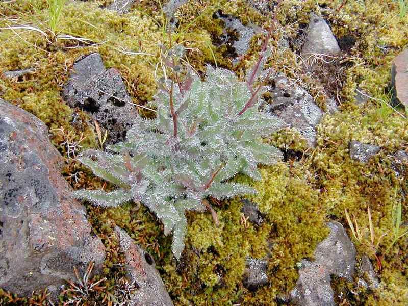
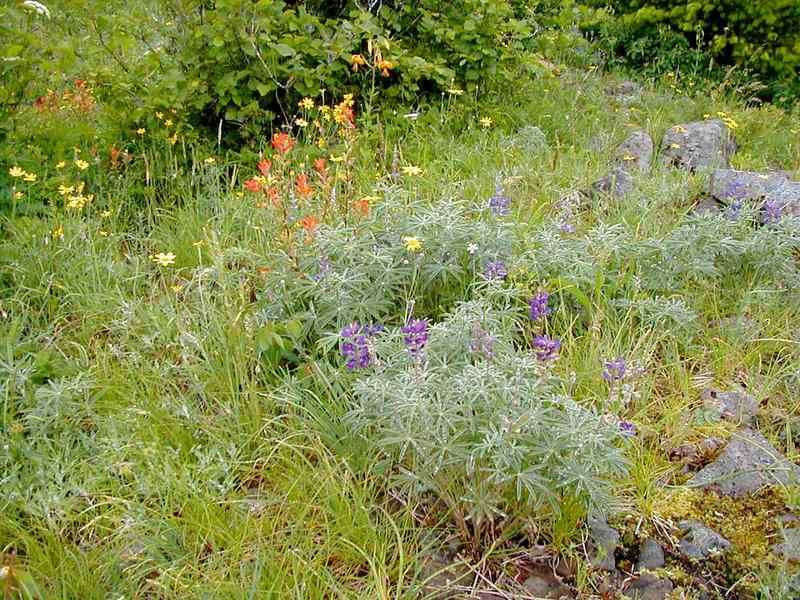
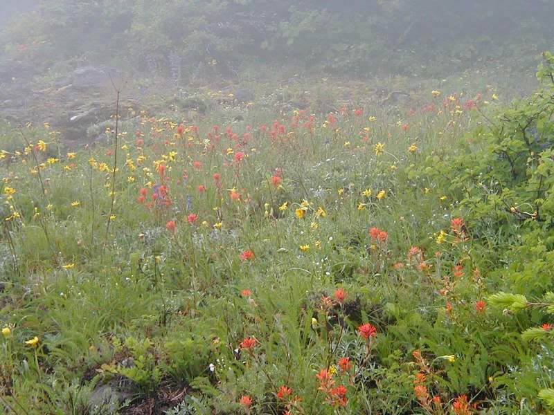
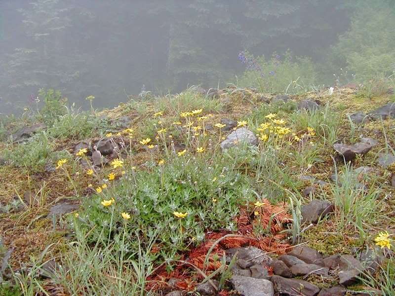
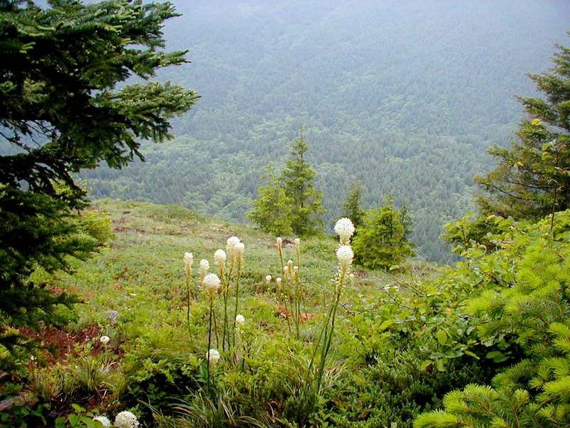
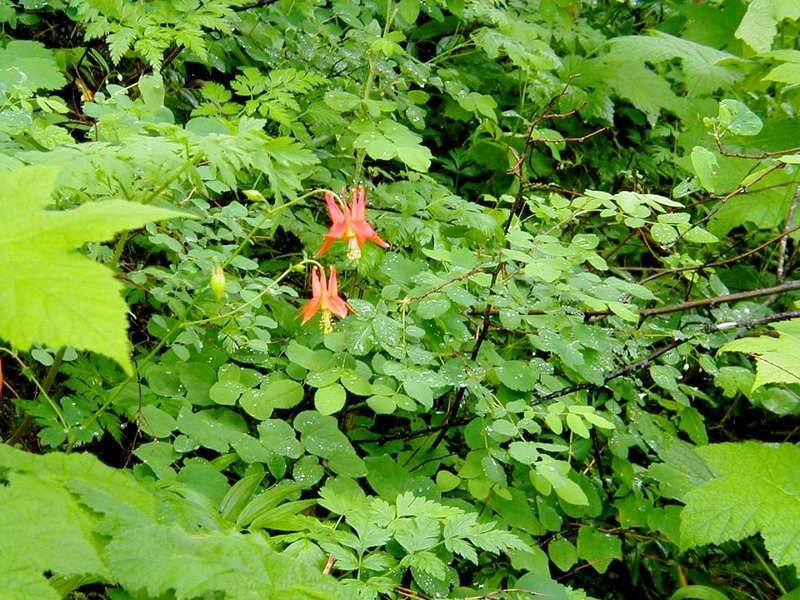
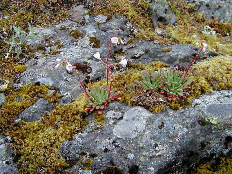
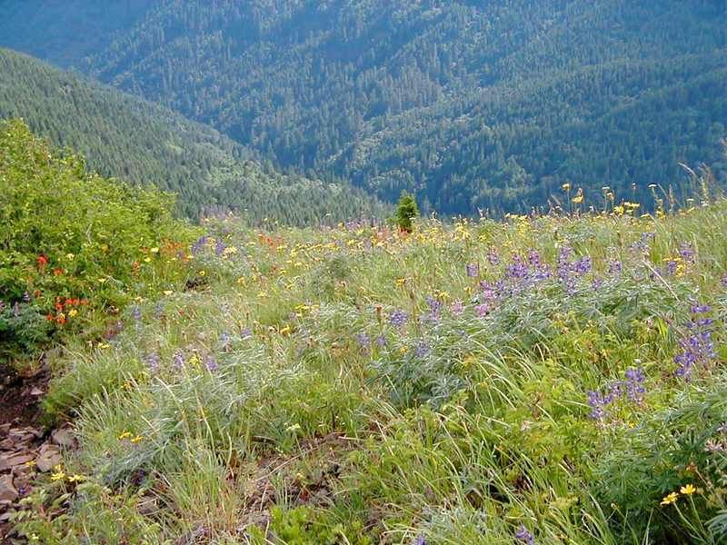
On the plus side, the wildflowers are going wide open. The fog might have taken away my views, but it created a softer, more fragile side to the flora. Everywhere I looked, I saw plants struggling to squeak out a living against the rain, wind and fog.
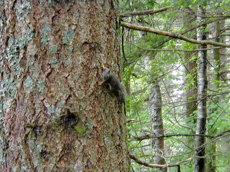
On the way out I ran into this little guy who was really upset that I dropped in.
After I got in the car, camera safely stowed in the trunk, I saw a cougar on the road in front of my car. Argh.
I only saw about a dozen people all day long, probably due to the questionable weather.
If you do this one, plan ahead. You'll need really good boots for the rock and if I'd had a good pair of trekking poles, my knees would be happier this morning. I didn't have any problems with bugs, but of course, the weather wasn't really prone to mosquitoes or sunburn. This isn't a hike for kids prone to running down the hill. I saw a couple of hikers with dogs, but they were quite the inconvenience when they met other hikers on the narrower portions of the trail. I had to wonder about their feet on all the rock too.
| Re: Aldrich Butte and Table Mountain 6-17-07 Posted by JosephSamuel (2007-06-18)
| I remember the trail similarly to your description, even though I was last there about 5 years ago. I remember that is was quite steep, muddy in places, and in need of some serious fixing. I'm not sure it if was ever a designated trail.....the signs for it were not the standard USFS faire.
I also remember (I wrote it down) that I went in early July and the wildflowers were just booming.
Man, you saw a cougar back at your car!! How cool is that! And you were safe inside to boot. Even though you did not get a picture, seeing it is worth much more. Congratulations!
Joseph
| Re: Aldrich Butte and Table Mountain 6-17-07 Posted by bjul49 (2007-06-18)
| Hello Steve, I think there are several ways up Table Mtn from the PCT, and my guess is that you took the first marked trail which was actually closed for a while due to erosion. If you had gone on on the PCT a little but, there is a better trail up, till you come to the rock scramble part. A good resource for this is Don Nelsen, who has good GPS map or Seamus Daly, perhaps theyll get in on this. Great photos, Judith
| Re: Aldrich Butte and Table Mountain 6-17-07 Posted by sparklehorse (2007-06-20)
| Nice job Steve! That little trail is all killer and no filler. I'd have gladly traded my somewhat better weather with you for the chance to see a couger. That's awesome.
G
|
Return to Portland Hikers Archive
Disclaimer:
Information found on PortlandHikers.org and PortlandHikersFieldGuide.org is
provided by website visitors and volunteers and should be considered anecdotal. All trails
and directions and subject to current conditions. Trails and roads can be rerouted due to
natural events and the website is not able to provide current information for every hike.
Please verify against two other sources before planning a trip. Outdoor activities present
inherent risks. Portlandhikers.org, nor any of its members, accept liability for injuries
relating to information found on this website.
|
Powered by phpBB © 2008 phpBB Group
|
|
© 2008 PortlandHikers.org - No content shall be copied or downloaded without permission
|
|
 |
