Portland Hikers ArchiveReturn to Portland Hikers Archive Lower Starvation Loop 5-6-07 Posted by Stevefromdodge (2007-05-07)
| After suffering from a nasty stomach flu Friday and Saturday, I decided that malnourished or not, I needed to get out of the house for the afternoon. I headed east on 84 until I broke out of the darkest of the clouds. By Shellrock Mountain, I was in hazy sun. I decided to check out the waterfalls on the lower end of the Mt. Defiance Trail.
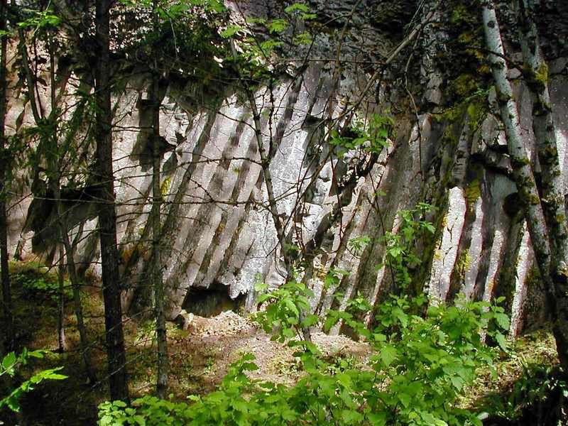
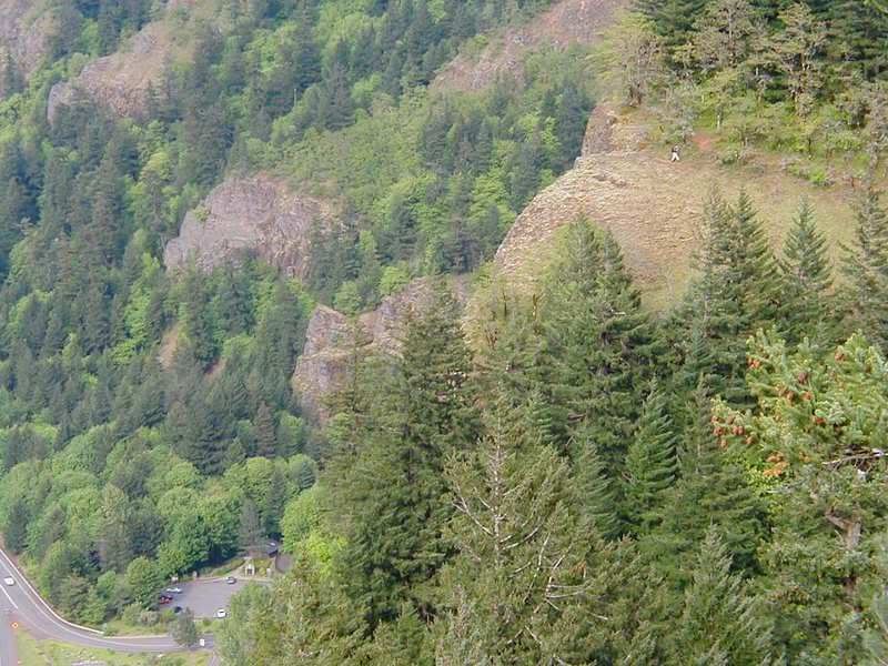
The sun peaked out just long enough for me to grab this interesting look at the basalt cliffs in the parking lot.
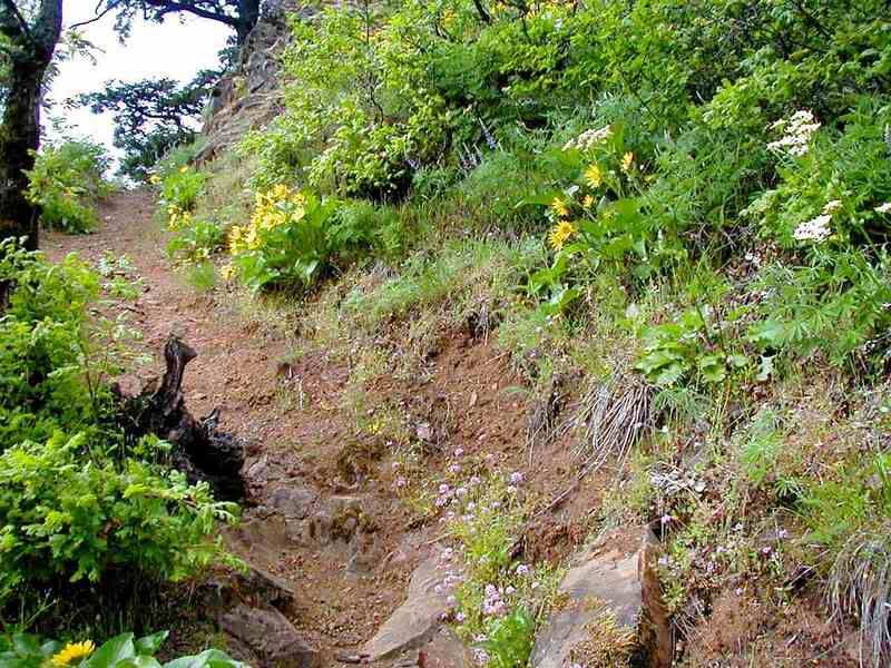
I hiked a short way down what may be the most interesting section of the old highway to me. The moss encroaching from the sides is really neat. I'm not opposed to the restoration at all, but it's kind of neat to see what nature prefers to do with the old road.
In about 1/4 mile, there's a junction with Starvation Ridge Cut-Off Trail #414B. I turned left and headed up the hill. This sucker is only 4/10 of a mile long, but boy is it steep! I ran into a group of about 20 people coming down from Defiance and some of them were having a rough time with it, trekking poles and all. Steep angles, loose rocks and tired legs aren't a real good combination.
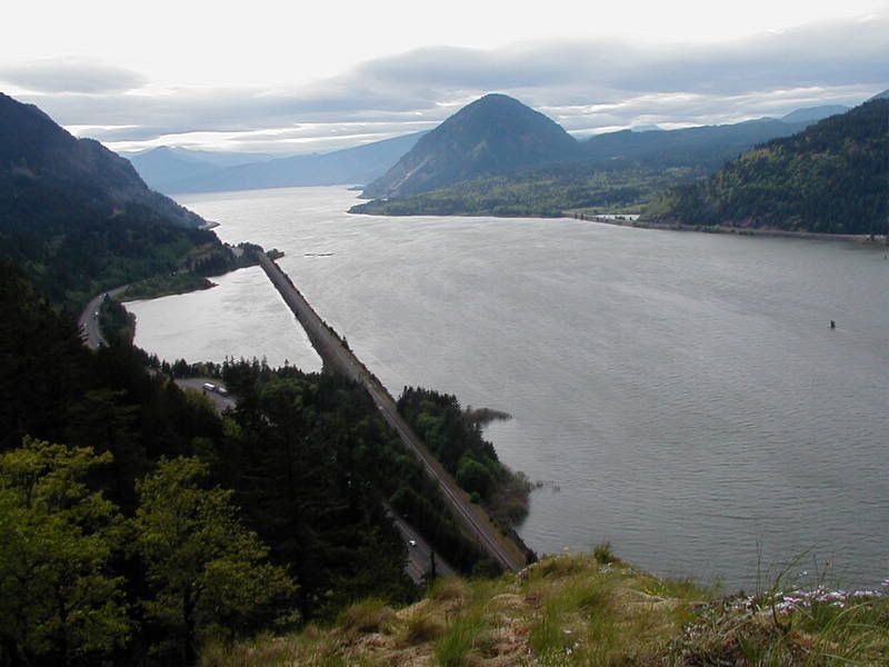
At the top of the short trail, it connects with Starvation Ridge Trail #414. I turned left and headed up 100 yards or so, to a great viewpoint of the Columbia River.
Here's the view west:
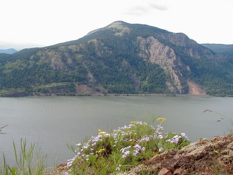
Looking across at Dog Mountain
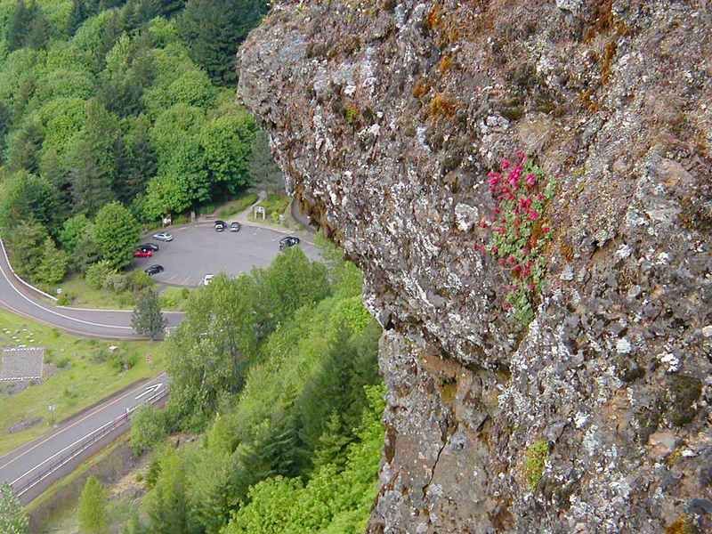
Looking down at the parking lot, where I started
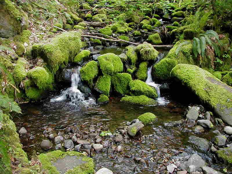
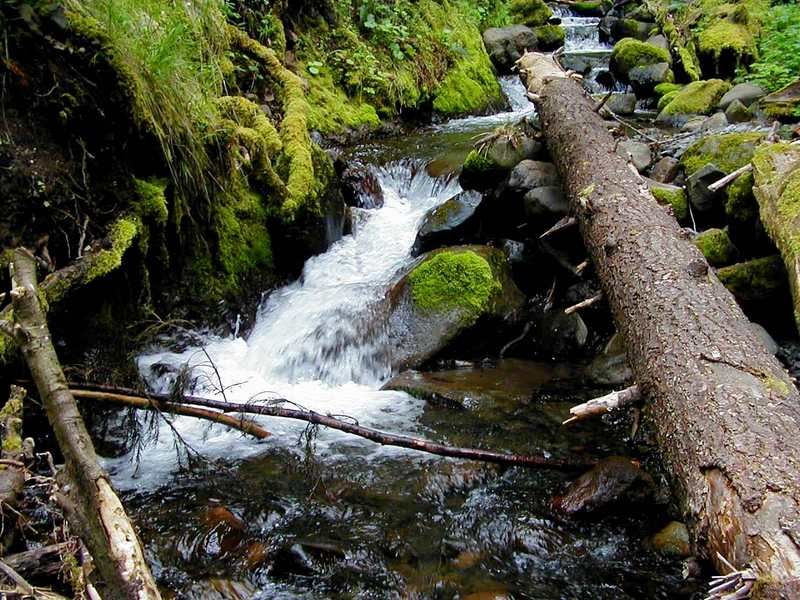
Turning around, I headed west down the Starvation Ridge Trail. I dropped down to a pretty crossing of Cabin Creek, then headed back up to another viewpoint, slightly higher than the earlier one.
Here's Cabin Creek
Looking down from the second viewpoint
Looking back to the previous viewpoint, there's another hiker. Is this one of you?
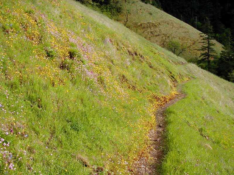
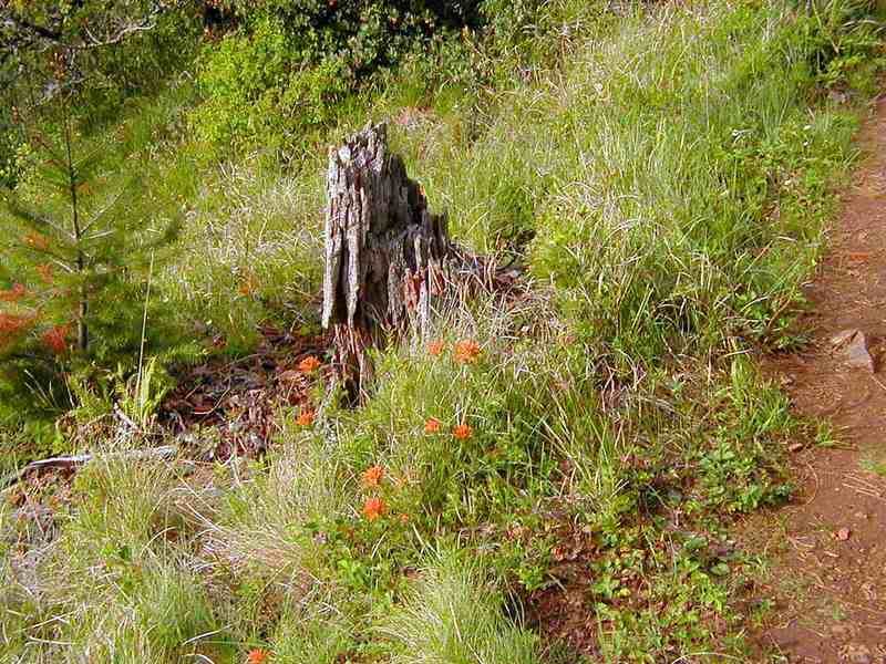
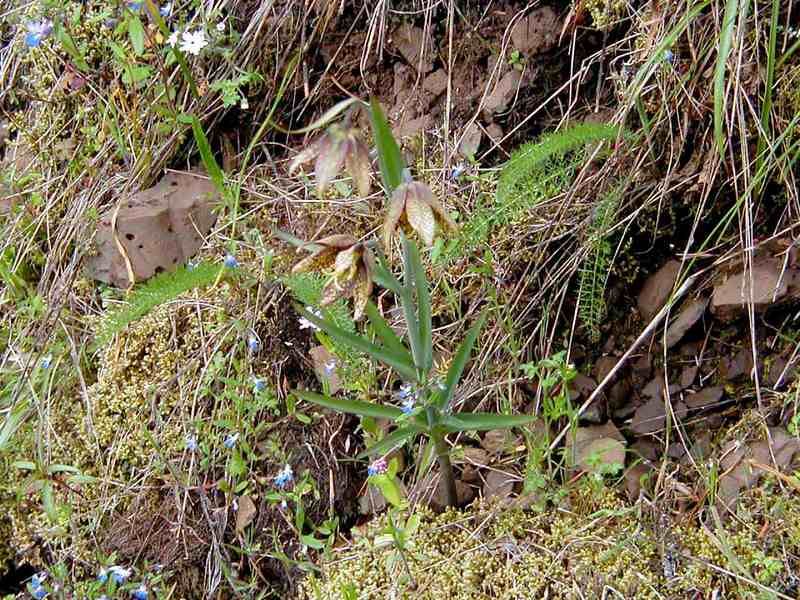
After cresting a summit, the trail switchbacked down through a beautiful flowered meadow.
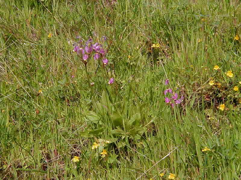
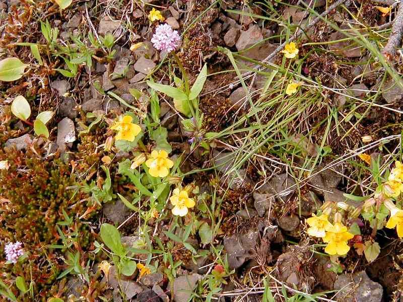
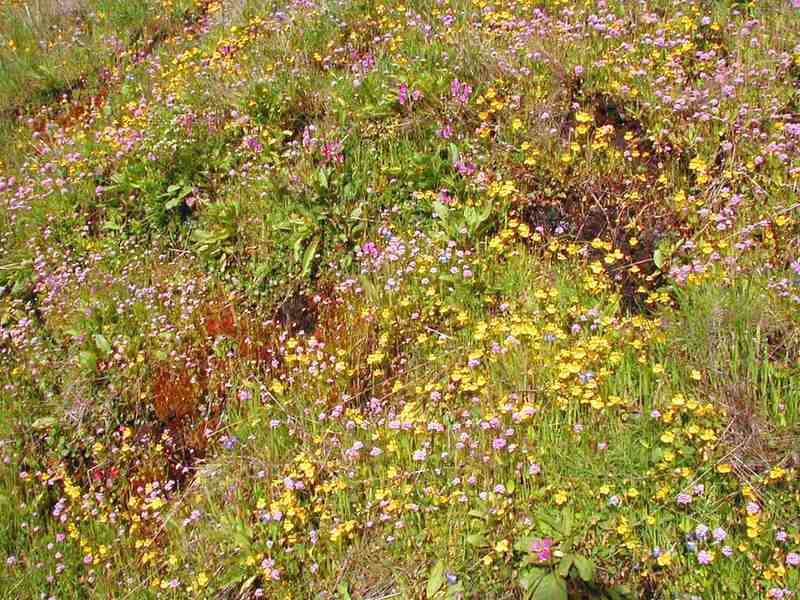
Here's a broad shot
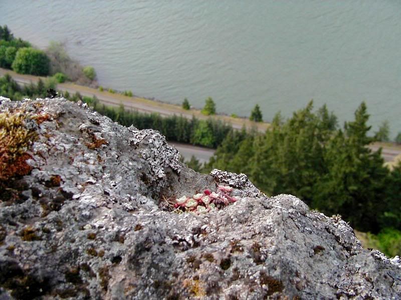
And here are a few detail shots
I think this is a chocolate lily, bu I've never seen one with three blossoms before.
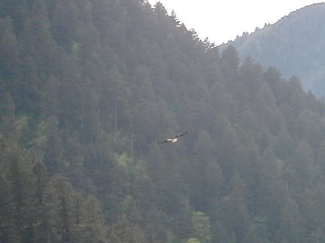
This area is crossed by a set of powerlines, but they're pretty non-obtrusive. One even provides a nesting point for a family of large predator birds. I couldn't get a good enough view to determine the exact species.
The trail dropped to a crossing of Warren Creek
then down passed these balsamroot directly beneath the nest to a junction with the Mt Defiance Trail #413.
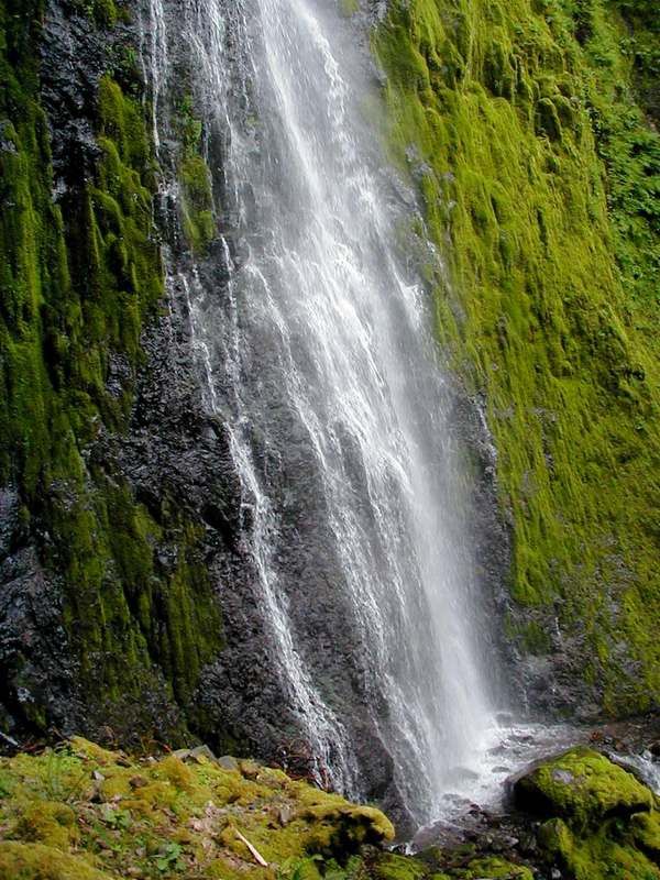
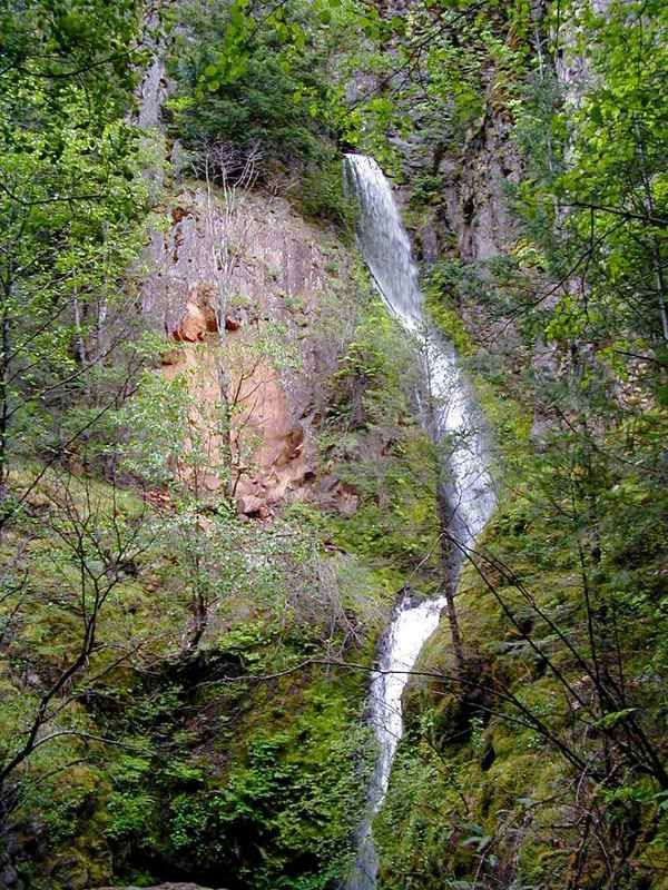
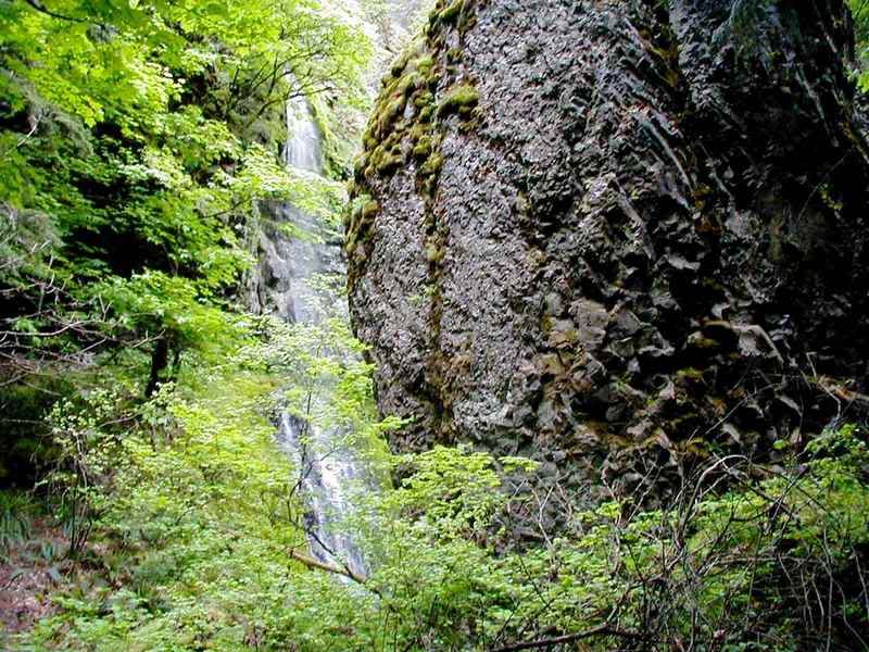
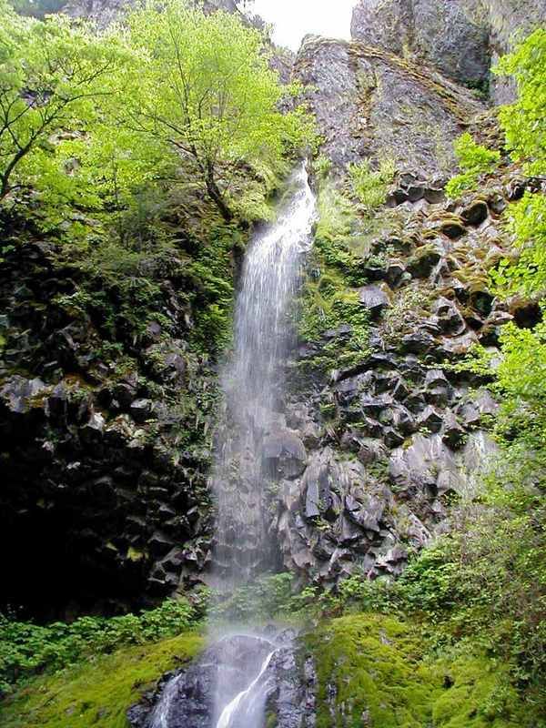
There are three light waterfalls in this area, all of them very pretty and all very difficult to photograph. Continuing west on the 413, I came first to Lancaster Falls. The trail passes the lower tier, but I was able to scramble up a rough slope to get a few meager views of the large upper falls.

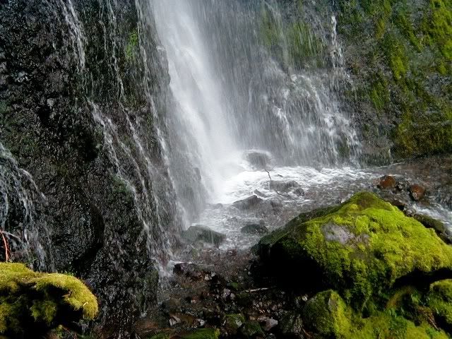
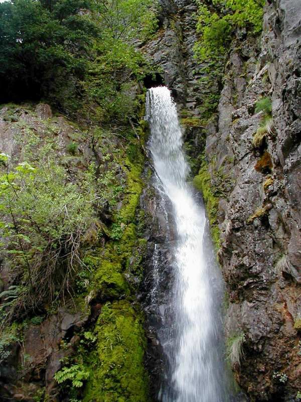
Returning east on the Mt. Defiance Trail, I passed Hole in the Wall Falls, also known as Warren Creek Falls. This waterfall was created during the construction of the original Columbia River Highway when Warren Creek was diverted through a tunnel to stop it from cascading on the road.
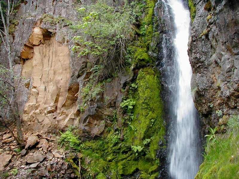
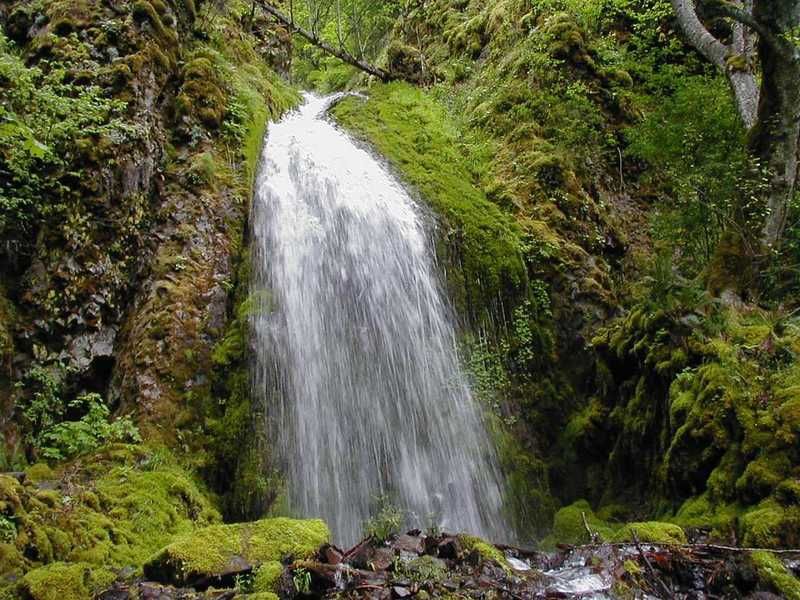
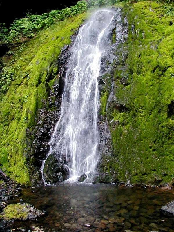
Finally, almost out of light, I reached Cabin Creek Falls.
All of the trails were in very good condition. There was absolutely no blowdown or winter damage. There was a lot of poison oak around, including many tiny ankle high plants, but it was easy to avoid. This is a great trip for those of us needing "beginner conditioning" hikes. There was a surprisingly good degree of "hiker solitude". Other than the group coming down the cutoff, I didn't pass anyone all day. On the other hand, the ever present freeway noise detracted from the isolation quite a bit.
The hikers coming down from Defiance said there was still lots of snow on top.
| Re: Lower Starvation Loop Posted by Splintercat (2007-05-07)
| Nice report, Steve! I especially liked the views of the main tier of Lancaster Falls -- that's the first I've seen of these. I've peeked up there before, but concluded that it was poison oak country... did you have to brave much of that?
BTW, I totally agree on the cut-off trail. It's kind of spooky, even when dry, because of the steepness and loose surface. There are several spots where a slip could leave you in a world of hurt! I've always hiked down this trail - can't imagine going up!
Tom | Re: Lower Starvation Loop Posted by meana39 (2007-12-08)
| What a great trip report....and such lovely spring photos. I just got back from hiking up the Starvation Cut-off trail. I totally agree about the steepness of it! It was a bit much for this poor out of shape hiker to try today, but after I got about half way up, and a little scared because it was so steep, I couldn't imagine slip sliding back down it so I kept going to the top, and on to the Starvation Ridge lookout, and on again a bit farther following the ridge until it decided to climb steeply again. At that point I decided to turn around.
I almost went back it was so steep, but I was afraid I'd fall so what's a hiker to do?? I loved seeing your spring photos, only wet leaves greeted me today, but the views of snowy covered Dog Mountain all the way up were lovely.
On the way back down I avoided the cut-off trail and went towards the Mount Defiance trail and back down that way, although the two creek crossings were a bit interesting with so much water in them. Thank goodness for waterproff hiking boots!
I loved seeing your photos, I didn't get as many nice ones! Thanks for sharing them. I haven't decided if I'll write up a trip report yet...probably while I'm nursing sore muscles tomorrow!
|
Return to Portland Hikers Archive
Disclaimer:
Information found on PortlandHikers.org and PortlandHikersFieldGuide.org is
provided by website visitors and volunteers and should be considered anecdotal. All trails
and directions and subject to current conditions. Trails and roads can be rerouted due to
natural events and the website is not able to provide current information for every hike.
Please verify against two other sources before planning a trip. Outdoor activities present
inherent risks. Portlandhikers.org, nor any of its members, accept liability for injuries
relating to information found on this website.
|
Powered by phpBB © 2008 phpBB Group
|
|
© 2008 PortlandHikers.org - No content shall be copied or downloaded without permission
|
|
 |
