
Who: Me (Born2BBrad), PH members Chase and Adam (PH user name Cascade Hiker)
Where: Mt. Adams Wilderness and the Yakama Reservation
When: 8/23/13-8/25/13
Opening picture:

Last year, in the middle of August, super hiking stud and PH member, Sean Thomas, posted a TR about his trip to the Mt. Adams area, including the Round the Mountain Trail. I made a comment about how I wanted to hike that trail, but go completely around Mt. Adams, including the part on the Yakama Reservation without trails. I had read about that and was captivated by the thought of that trip.
Unbeknownst to me, PH member, Chase, was trying to organize a Mt. Adams 360 trip later in the month. Because of my comment, he sent me a PM asking if I was interested in joining him on the trip he was planning. To make a long story short, for various reasons, neither of us could make the trip last year, but neither of us forgot about it.
So early this year I reconnected with Chase to organize a Mt. Adams 360 trip. Chase had also been in contact with PH member Cascade Hiker (Adam, no relation to the mountain) to recruit him to be part of the group. This is because Adam had done the trip several years before and would have experience and knowledge about the off-trail part on the Yakama Reservation. And because he’s a cool dude to hike with. The stars aligned in our schedules for a trip beginning 8/23/13.
Here are some facts about Mt. Adams and the Mt. Adams Wilderness (MAW):
• Mt. Adams is part of the Cascade Mountain Range and is located in south central Washington State.
• Mt. Adams is 12,275’ high.
• The MAW is 47,280 acres and was created in 1964.
• Mt. Adams has a volume of approximately 85 cubic miles. In the Cascade Mountain Range, this is second only to Mt. Shasta. Mt. Adams is approximately one third larger in mass than Mt. Rainier, even though Mt. Rainier is over 2000’ taller at 14,411’.
• In 1921, a fire lookout was built, the highest at the time. The remnants are still there, covered in snow in all but the lowest snow years.
• 21 miles of the PCT cross though the MAW.
• Named after President John Adams. The name Mt. Adams was originally to be designated to what is now Mt. Hood, but for a mapmaker’s error.
• In 1929 and 1931 Wade Dean filed mining claims to the sulfur on Adams' 210-acre summit plateau. He built a horse and mule trail, had a drilling machine moved to the summit and drilled test pits. Sulfur sludge was found, but the amount and quality was not good enough to be profitable, so the project was abandoned in 1959. Mt. Adams is the only large Cascade volcano to have its summit exploited by commercial miners.
• Wildlife in the MAW include black bear, cougar, deer, elk, mountain goat, beaver, coyote, otter, bald eagle and wolverines
After meeting at Adam’s house in Vancouver at 4 PM on Friday, we stopped for a burger, then headed for the Cold Springs Campground. We were off!
-----------------------------------------------------------------------------------
Below are a bunch of scans, maps and images using the GPS track from the trip.
Green Trails Map:
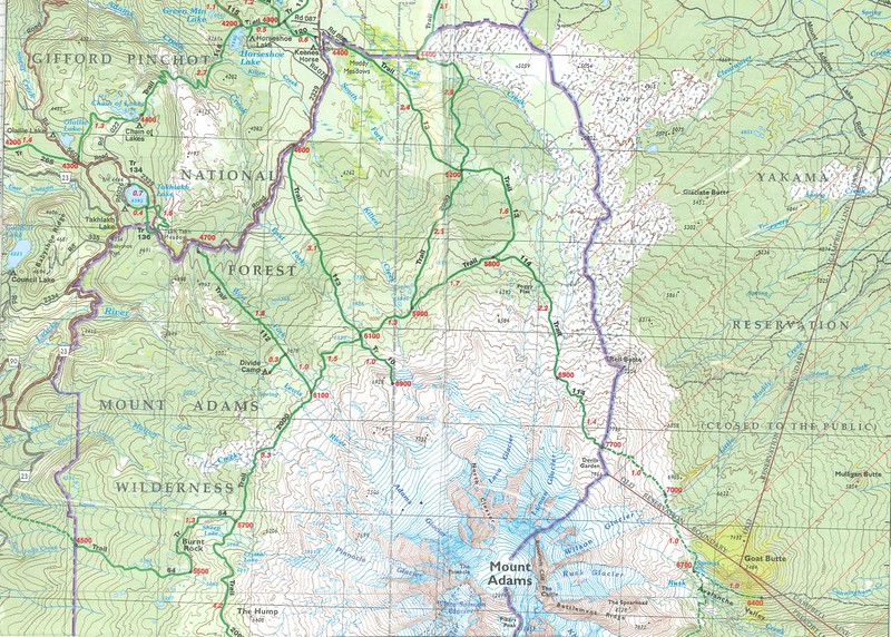
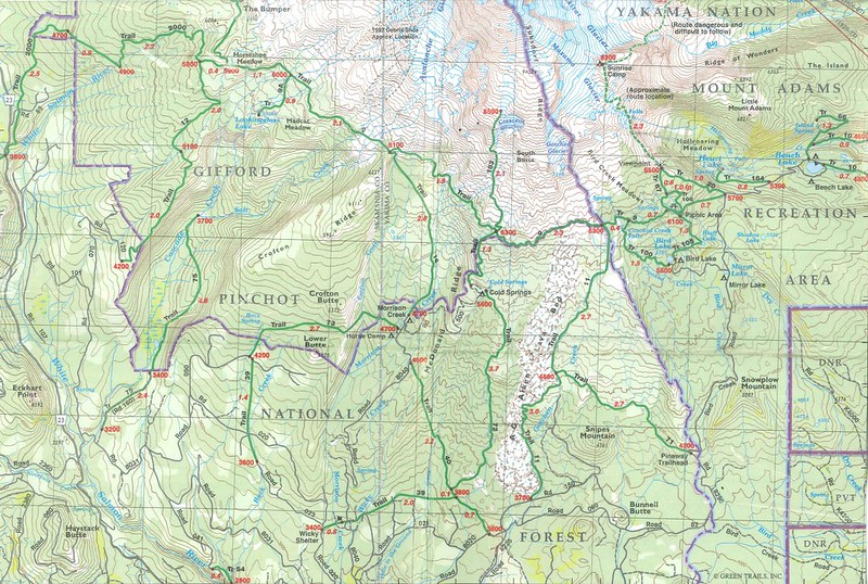
NatGeo map with GPS tracks (the red line is the route we took):


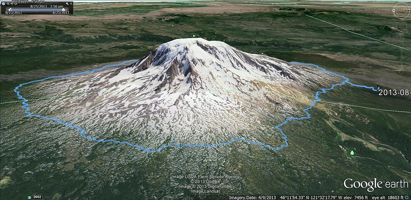
Google Earth with GPS tracks (west side):
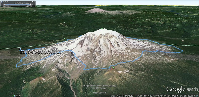
Google Earth with GPS tracks (east side):
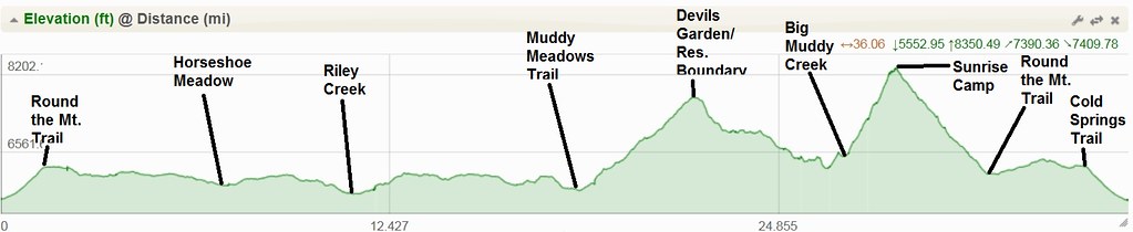
Elevation chart with points noted:
GPS tracks on Google Docs:
https://docs.google.com/file/d/0B7SKP52 ... sp=sharing
----------------------------------------------
Below are the pictures, videos and descriptions of what transpired. The short version of the route we took is that we started at Cold Springs Campground, then went clockwise, set up camp just before dark after a couple of miles, hiked to below Devils Garden for night two, then back to Cold Springs Campground on day three.
I noted if a picture or video was by someone else.
Note: You can change the setting on the YouTube videos to watch them in a higher quality, but only if you have a fast Internet connection.
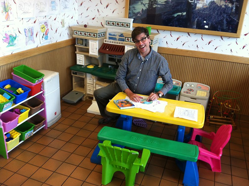
Chase fooling around at Burgerville (Adam):
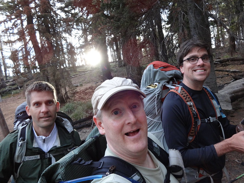
At the trailhead all fresh and ready to go (L-R: Adam, Brad, Chase):
The beginning of the Cold Springs Trail:

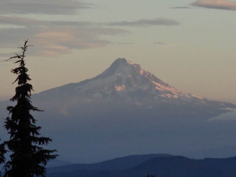
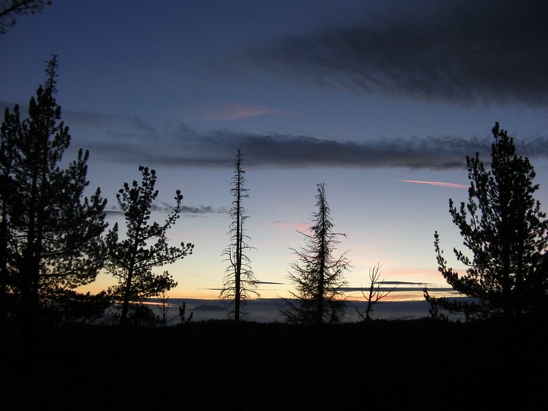
The last rays of sun on Mt. Hood:
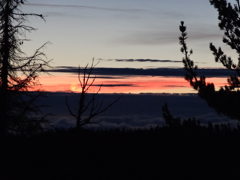
Pretty sunset:
Mt. St. Helens peeking out above the clouds (Chase):
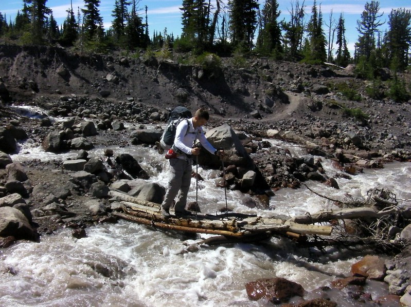
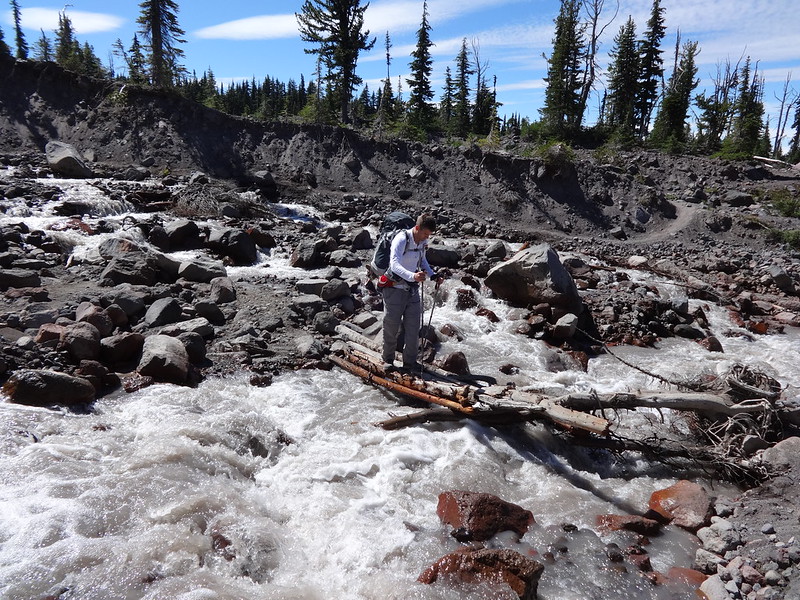
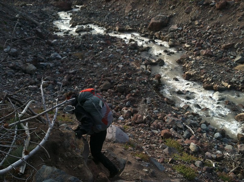
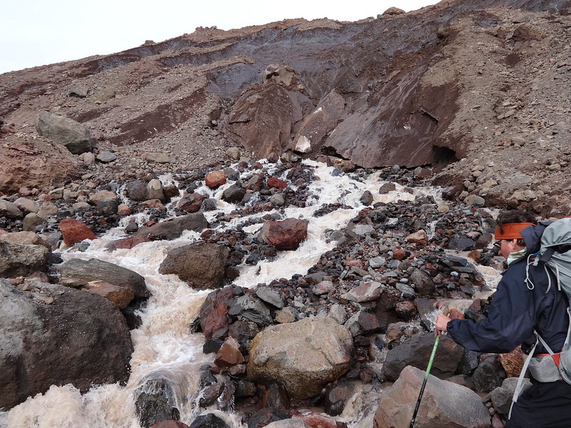
One of the many easy creek crossings on day 2:
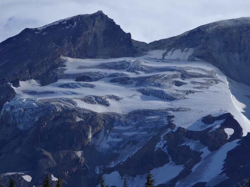
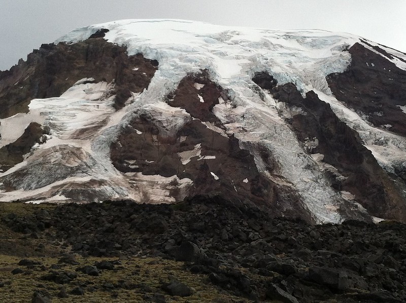
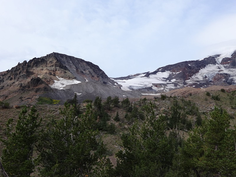
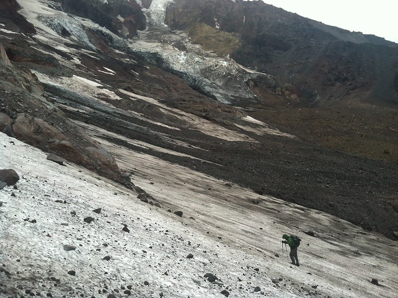
Zoomed in on the Avalanche Glacier:
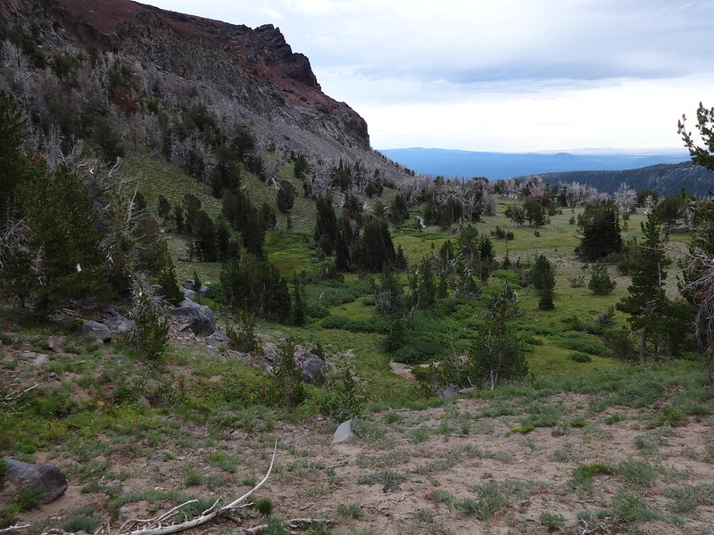
Horseshoe Meadow at the junction with the PCT:
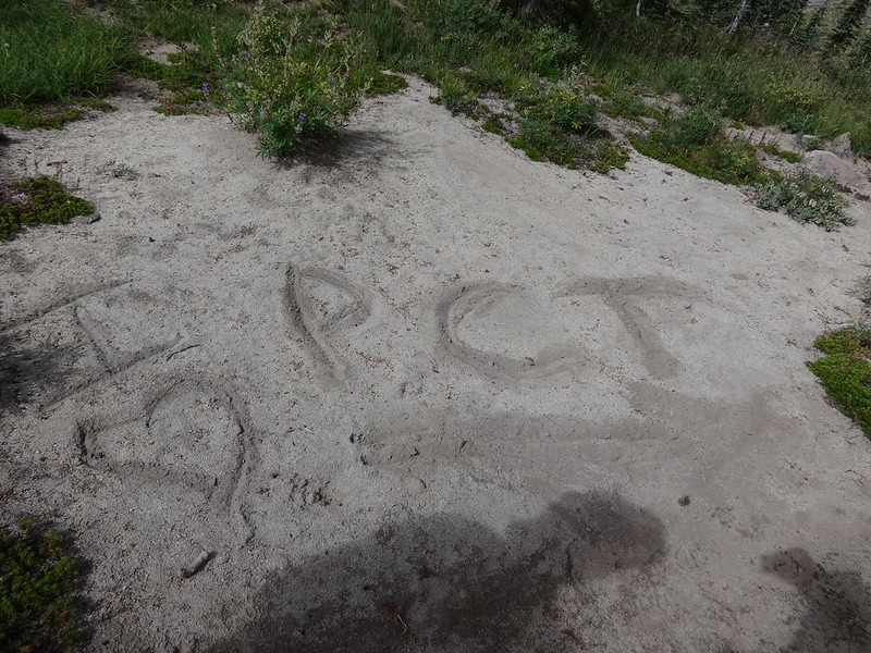
Someone has an affinity for the PCT:
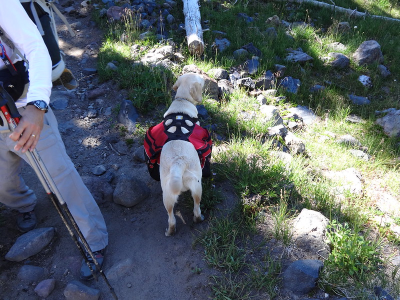
Canine PCT thru-hiker:
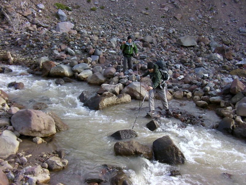
Adam crossing the Lewis River (Chase):
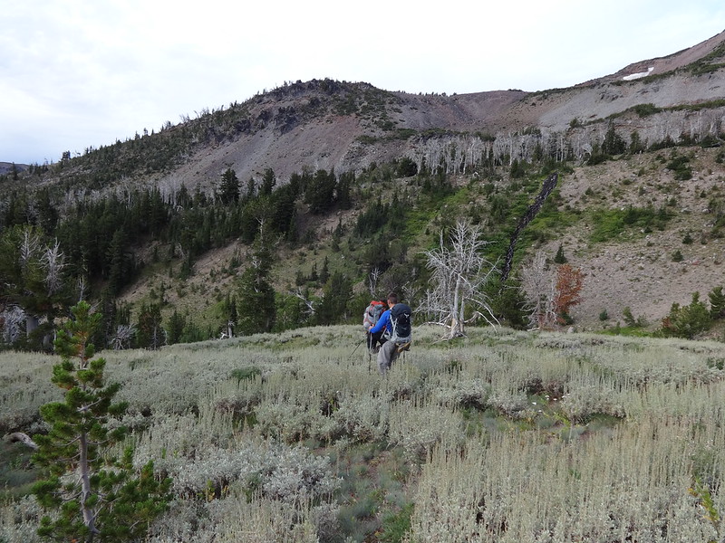
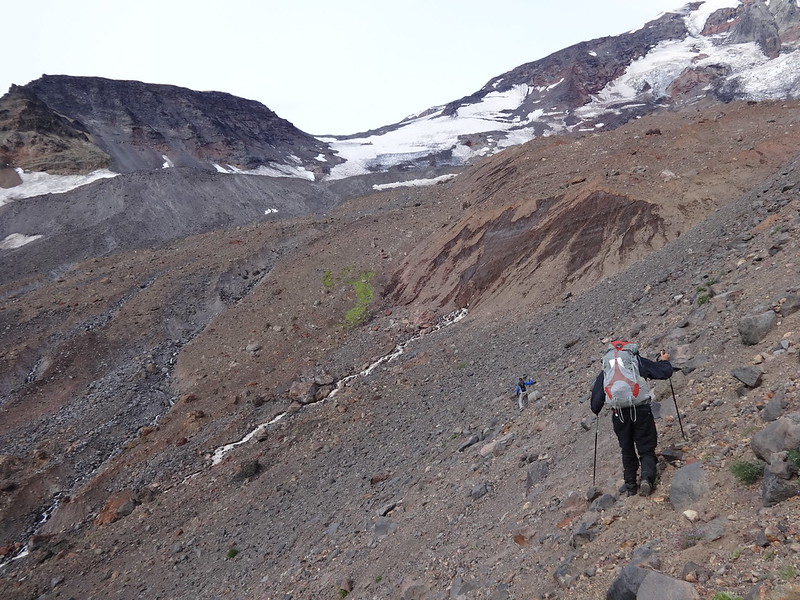
Beginning the ascent to Devils Garden (7700'):
Chase crossing the West Fork of the Muddy Fork Creek:
Video: Chase crossing the West Fork of the Muddy Fork Creek (Adam):
Video: Brad crossing West Fork of the Muddy Fork Creek (Adam):
Video: Adam Crossing East Fork of the Muddy Fork Creek:
Video: Chase Crossing East Fork of the Muddy Fork Creek:
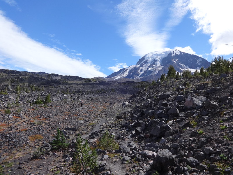
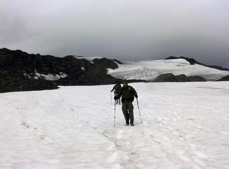
Getting higher and closer to Devils Garden:
Zoomed in on the north side of Mt. Adams (Adam):
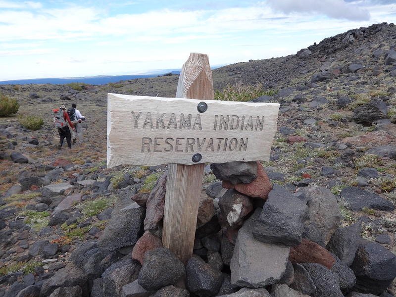
Entering the Yakama Indian Reservation:
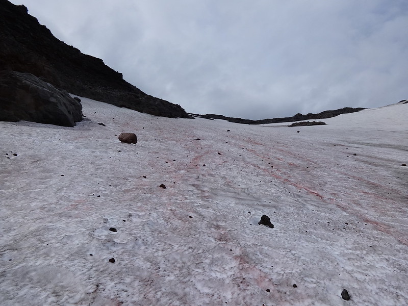
Cool looking lava bomb:

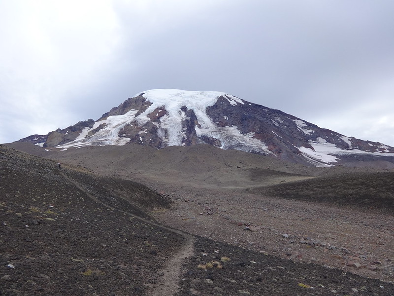
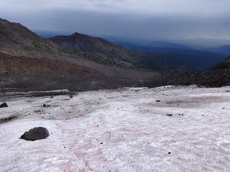
Welcome to Avalanche Valley:
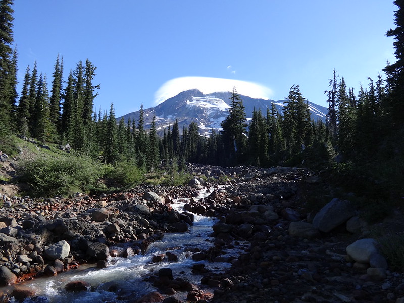
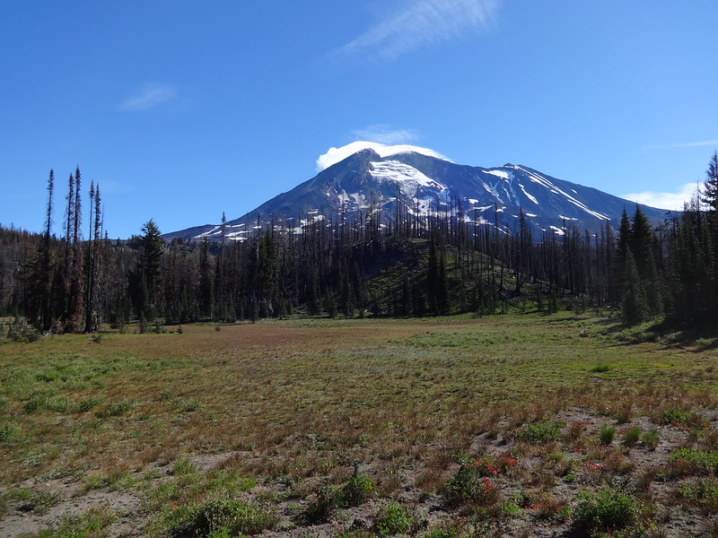
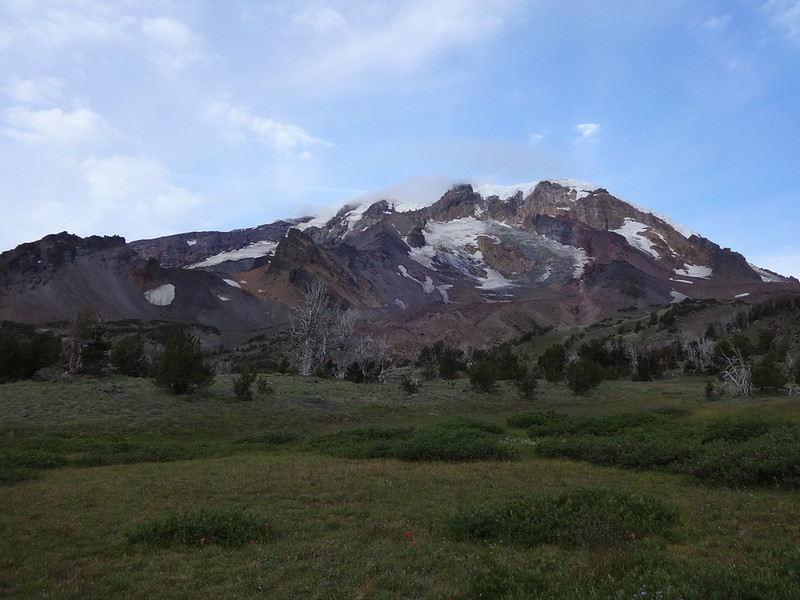
Mt. Adams from Avalanche Valley:
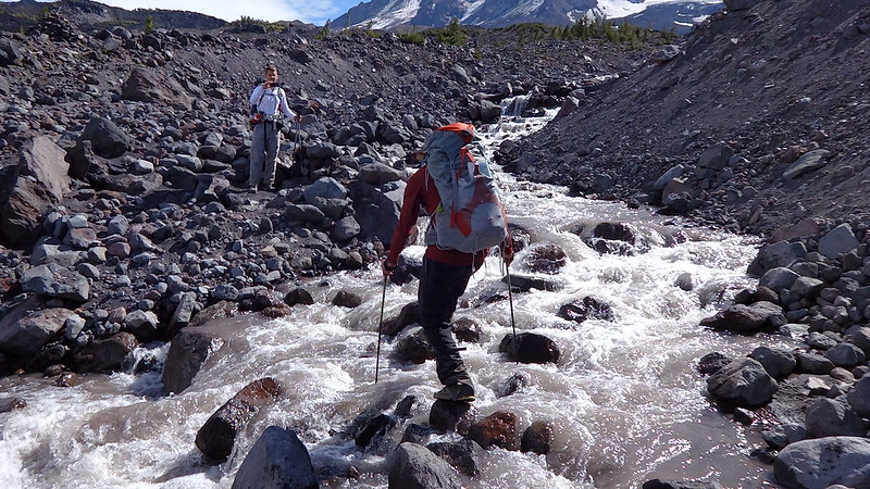
Chase descending to cross Rusk Creek (Adam):
Adam crossing Rusk Creek (Chase):
The edge of Battlement Ridge:
Once past Battlement Ridge we could see the Klickitat Glacier, our route to Sunrise Camp:
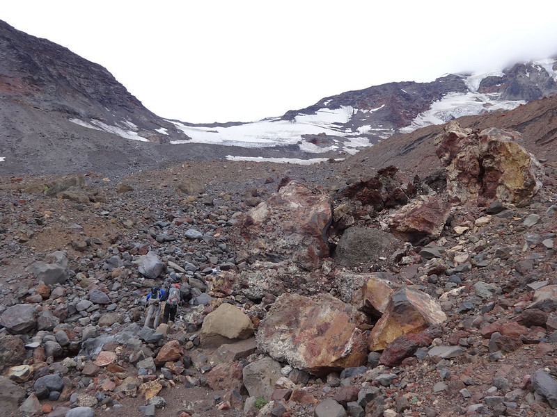
Scouting the route over the Big Muddy Creek and up Klickitat Glacier:
Descending down to cross the Big Muddy Creek:
At the crossing of the Big Muddy Creek:
That glacier up there is where we were headed:
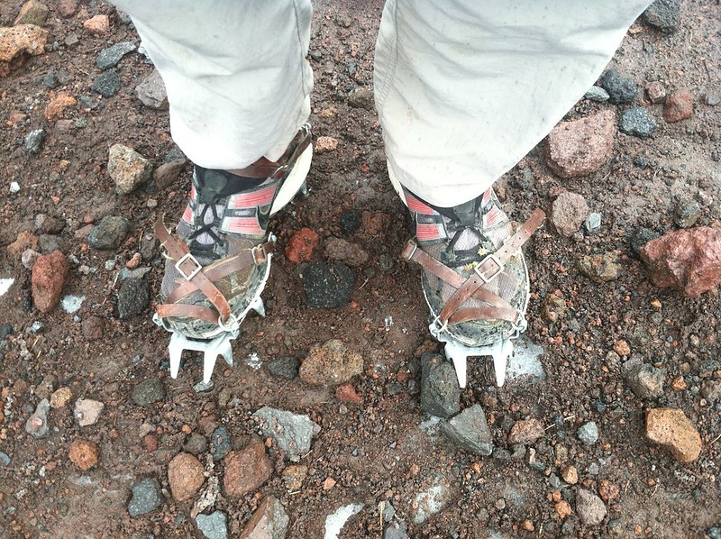
Time to crampon up (Adam):
Brad beginning the ascent up the Klickitat Glacier (Adam):
It was steep going up:
It was steep looking back down:
Video: On the Klickitat Glacier (Chase)
Brad and Adam descending down from Sunrise Camp on the Mazama Glacier (Chase):
More downhill/Hellroaring Meadow in the middle left:
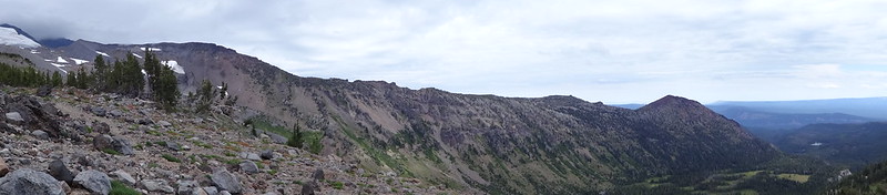
Pano of the western edge of the Ridge of Wonders and Little Mount Adams:
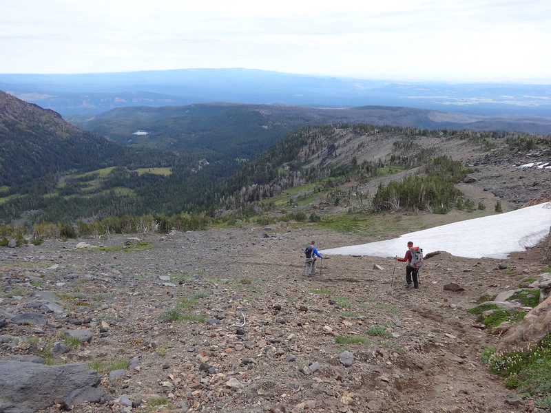
Yeah! Back on a trail!

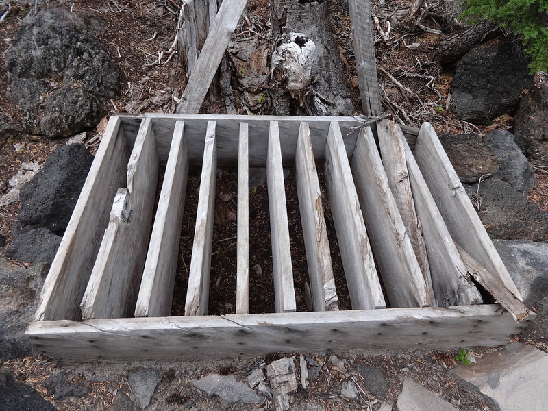
Any idea what this thing is/was for?
Link to more of Adam's pictures:
http://www.flickr.com/photos/54959080@N ... 244576657/
Link to more of my pictures:
http://www.flickr.com/photos/54959080@N ... 249028800/
Link to more of Chase's pictures:
http://www.flickr.com/photos/54959080@N ... 268257616/
-----------------------------------------------
Other notes:
• 38.5 total miles and 8157' total elevation gain.
• Adam got to hike around a mountain with his name. Too bad there's no "Brad Mountain" for me to loop around.
• This was an extremely exhausting, and possibly dangerous hike, not recommended for beginners, especially the off-trail section on the Yakama Indian Reservation. The group on this trip are all extremely experiences hikers, on and off-trail, who were all very well prepared.
• At Sunrise Camp (8300') we got caught in a squall. It was raining hard, the wind was blowing in our faces at 30 MPH and the temperature was 40 degrees. Adam made a smart move and sought shelter behind one of the shelters people use to camp. Chase and I joined him there. We sheltered there under our rain flies for about 45 minutes. We all started to get really cold and made the decision to wait for a break in the rain, pack up in a flash and high-tail it down the mountain as fast as we could. Within a few hundred feet lower in elevation the weather was much more bearable. The lower in elevation we got, the more bearable it became.
• This was one of my favorite trips of all-time. It was different, challenging, beautiful and many other adjectives. Plus I got to hike with a couple of top-notch hikers and cool dudes. They were great about slowing down a few times for the old man of the group (me) to catch up.
• Hike the good hike, man. Over and out.
Brad


