Who: Me (Born2BBrad)
When: 6/27/18 7:10PM - 6/29/18 2:40PM
Miles: 41.62 (cleaned up tracks in GPS Fly)
EG: 10,143’ (cleaned up tracks in GPS Fly)
Route: Clockwise, upper crossing of Muddy Fork, new Eliot crossing
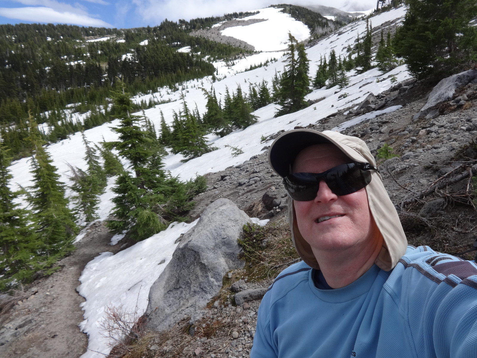
Opening picture (snow near Vista Ridge):

-------------------------------------------------
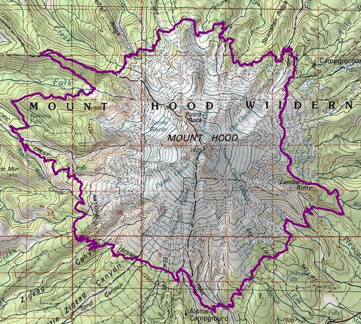
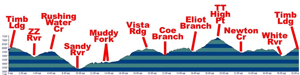
Map and Profile
Topographical overview:
Elevation profile:
--------------------------------------------------
It's been a while since I have posted a trip report. If Sean can come out of TR retirement, so can I. This TR is mainly to describe the trail conditions and major water crossings. If you want more information, look in the field guide or search for the many other TRs about the TT.
Quick snow report:
- All snow on the trail has boot tracks.
- From Timberline Lodge to the McNeil Point express route trail, very few snow patches.
- From McNeil Point express route trail to just past Elk Cove, 50% snow coverage.
- From just past Elk Cove to just past Cooper Spur, very few snow patches.
- From just past Cooper Spur to Lamberson Butte, many large snow patches, but few and far between.
- Fom Lamberson Butte to Timberline Lodge, very, very few snow patches.
Didn’t there used to be a sign that said how far to Canada and Mexico?
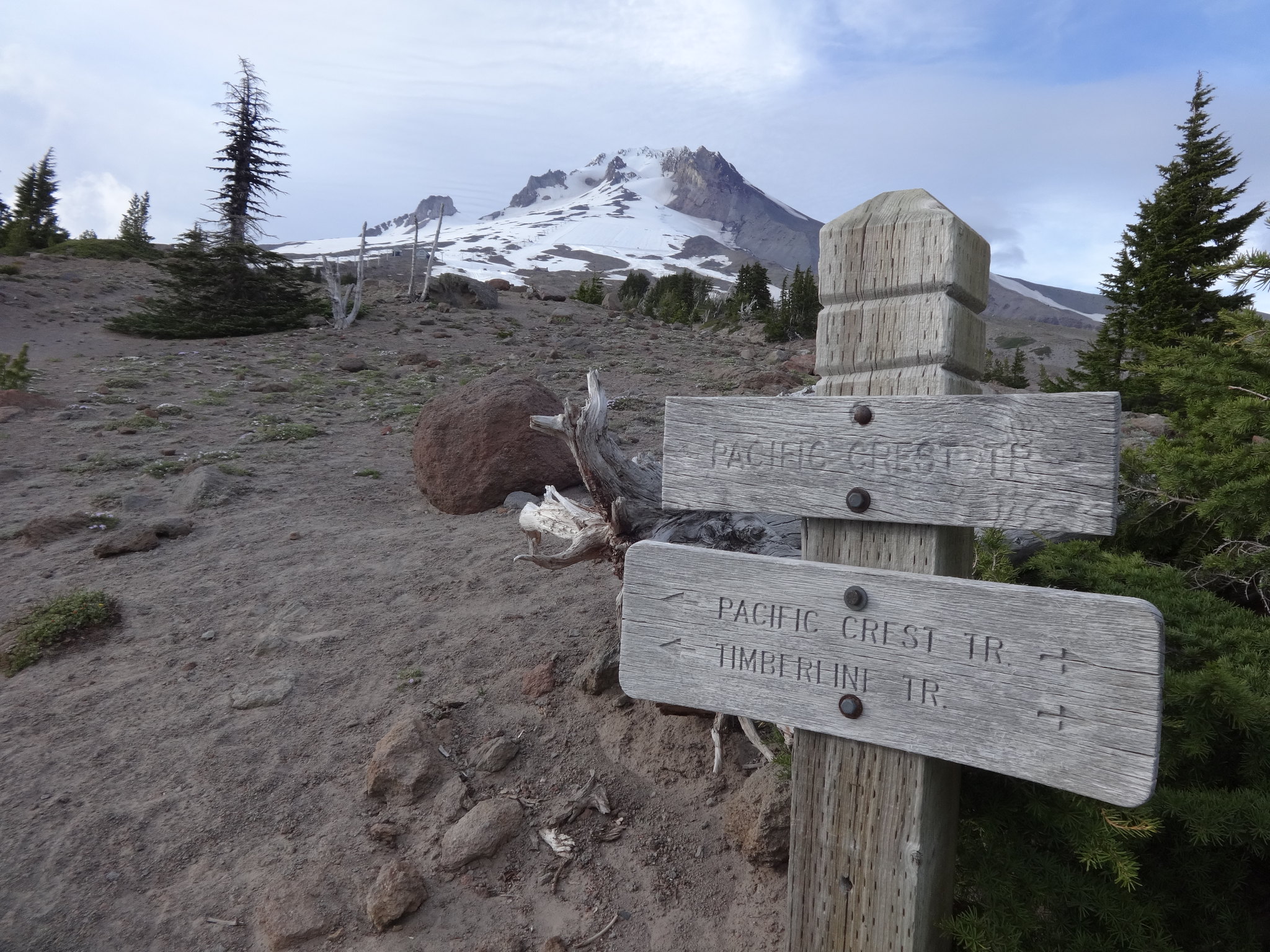
Snow on the trail just west of Timberline Lodge:
Gotta have a ZZ overlook pic:
No picture of the ZZ crossing, as it was easy and not noteworthy.
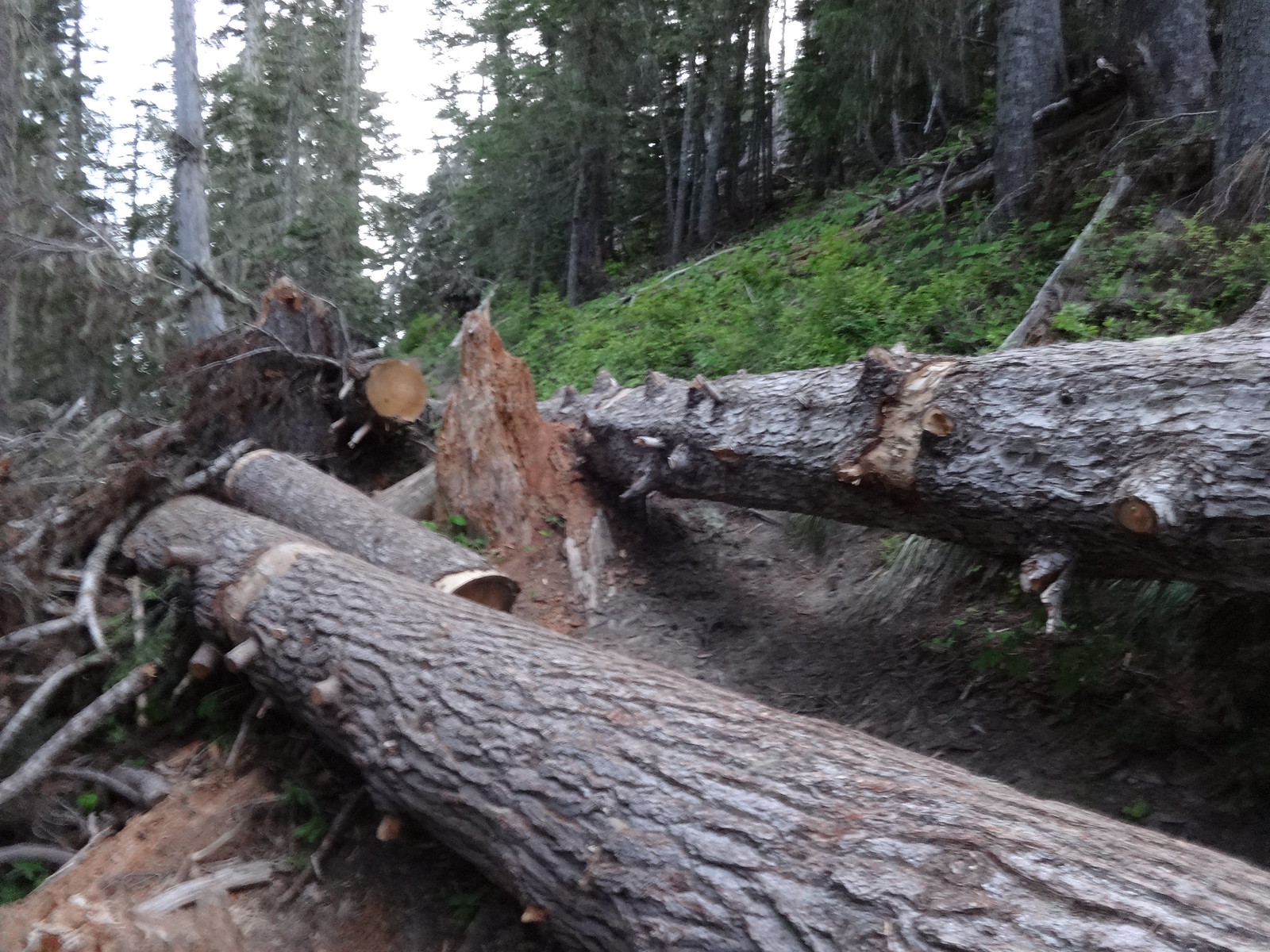
This batch of downed trees are still there, only now with some maintenance much easier to get around:
Made it 4.9 miles the first day after starting at 7:10 PM. Camped at the junction of the PCT/TT and the west end of the Paradise Park loop.
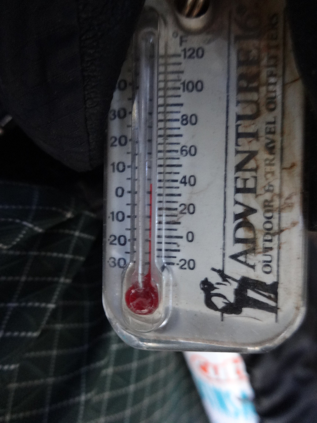
Cold morning:
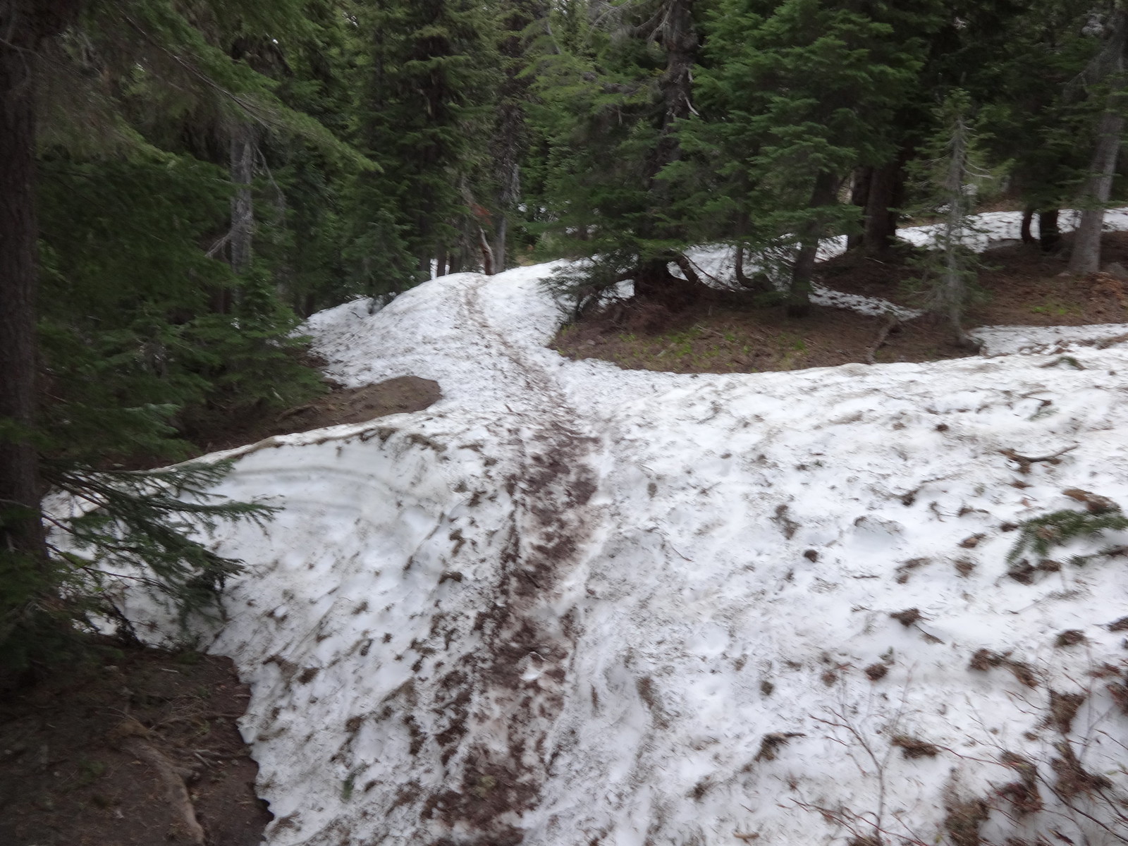
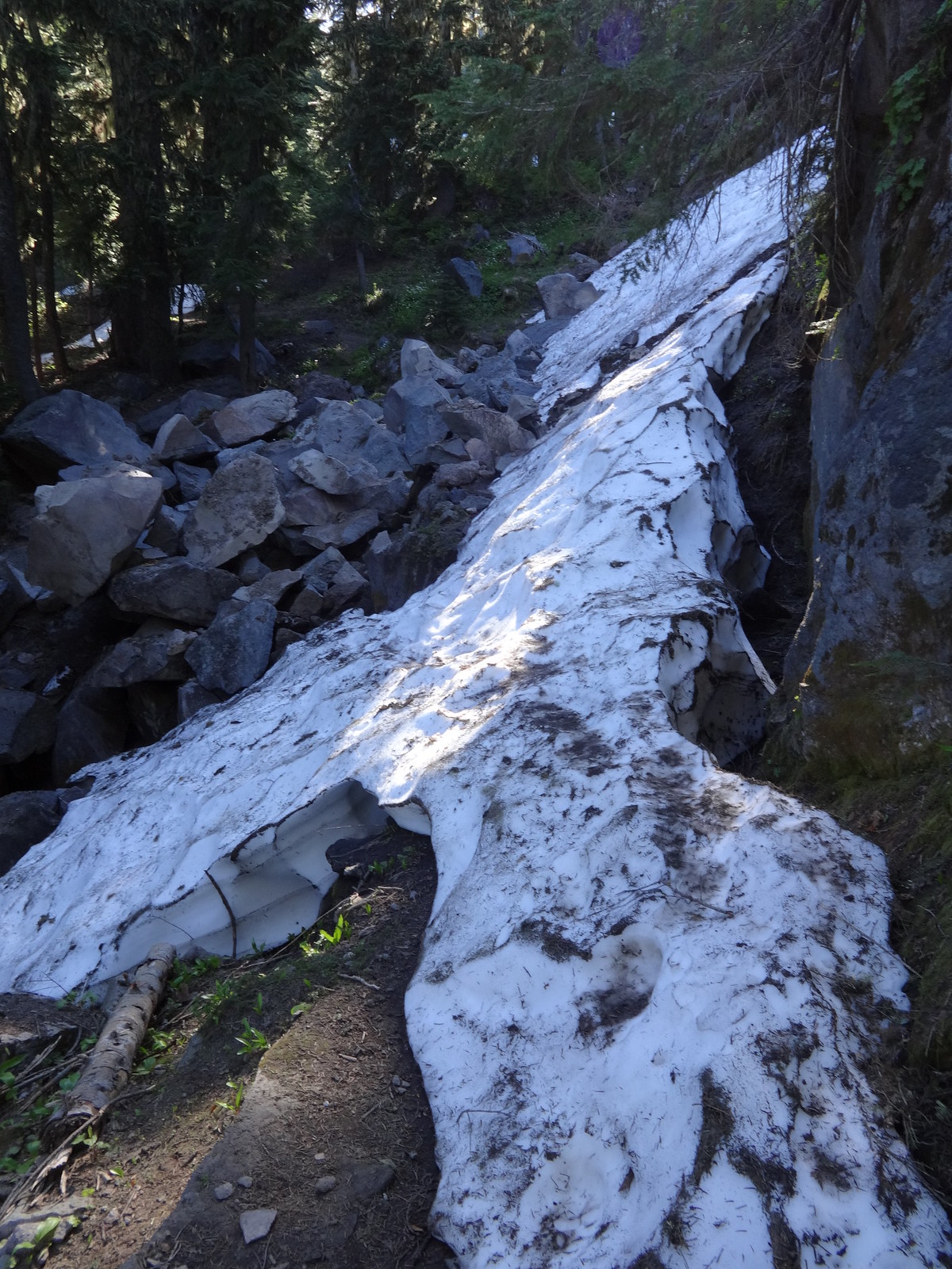
An example of some snow on the trail before the descent to the Sandy River:
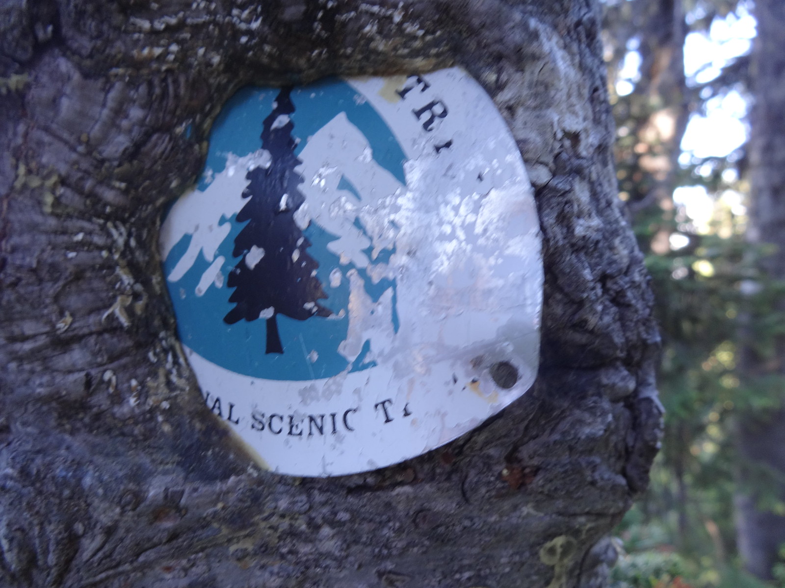
Old school PCT trail marker being eaten by a tree:
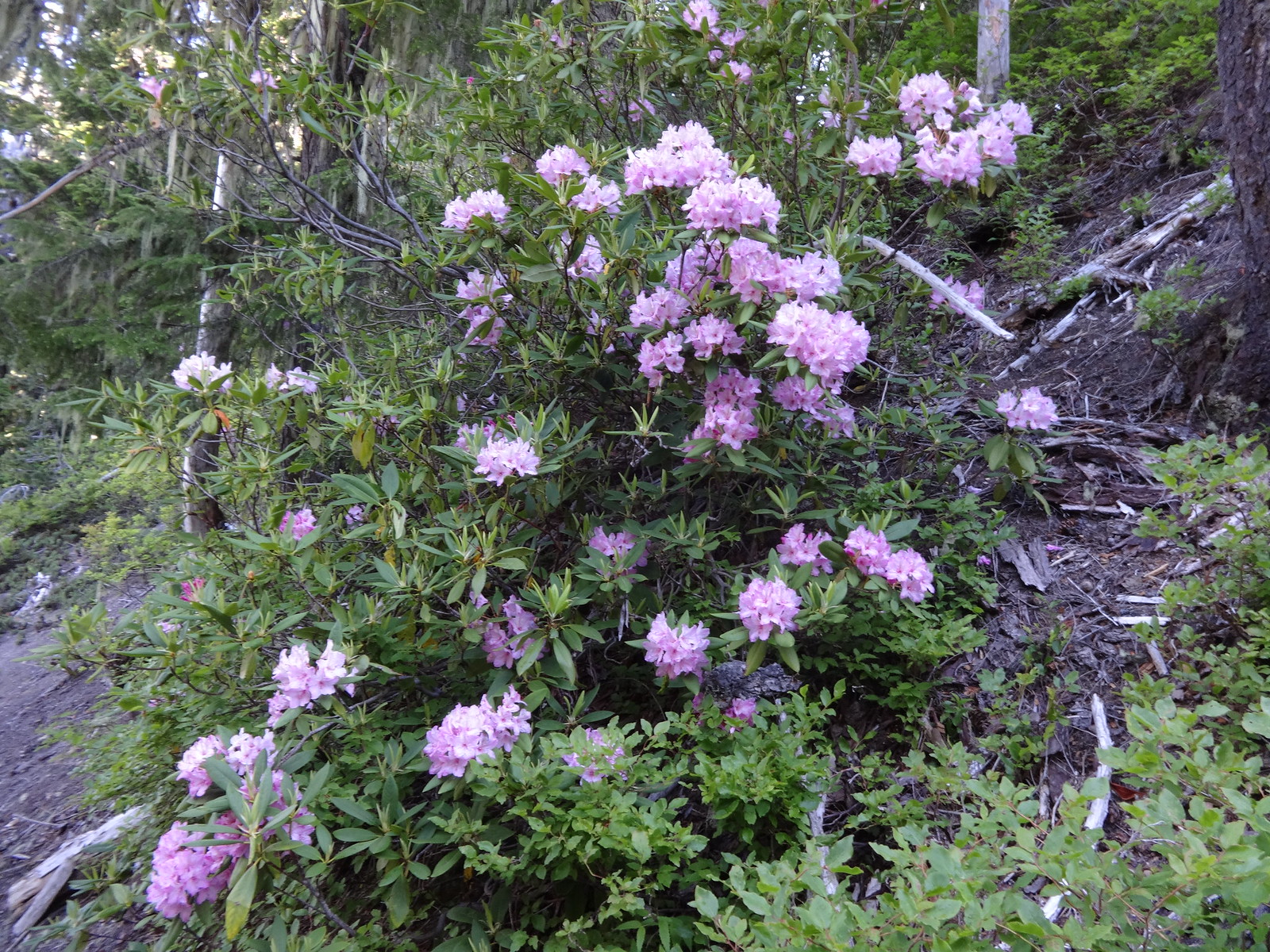
Yayy!! Rhodies!!
Upon reaching the Sandy River, there looked to be only one option for a dry crossing. One log about six inches in diameter with no bark. Much of the log was wet and slippery as snot. Good thing I brought micro-spikes for traction. Slipping and falling in the middle of the icy cold river would not be fun.
Slippery log crossing of the Sandy River:
Not so dangerous that there was no time for a selfie in the middle of the crossing:
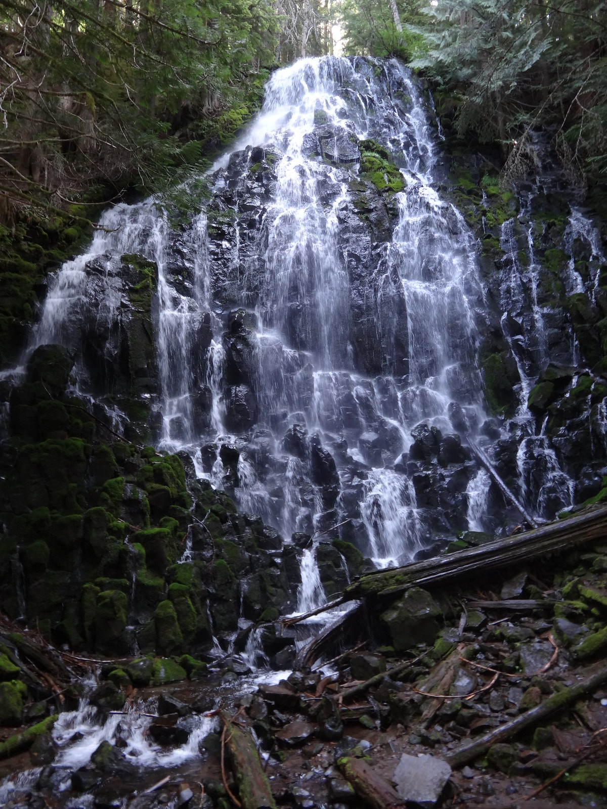
The obligatory pic of Ramona Falls:
On previous trips, the crossing of the Muddy Fork was done lower at 2845’. However, that requires losing almost 650’. This time the crossing of the Muddy Fork was done higher at 4150’. The higher crossing is actually a double crossing, since it’s just before the two forks of the Muddy Fork join.
The southern first crossing of the Muddy Fork:

No picture of the northern second crossing of the Muddy Fork, as it was easy and not noteworthy.
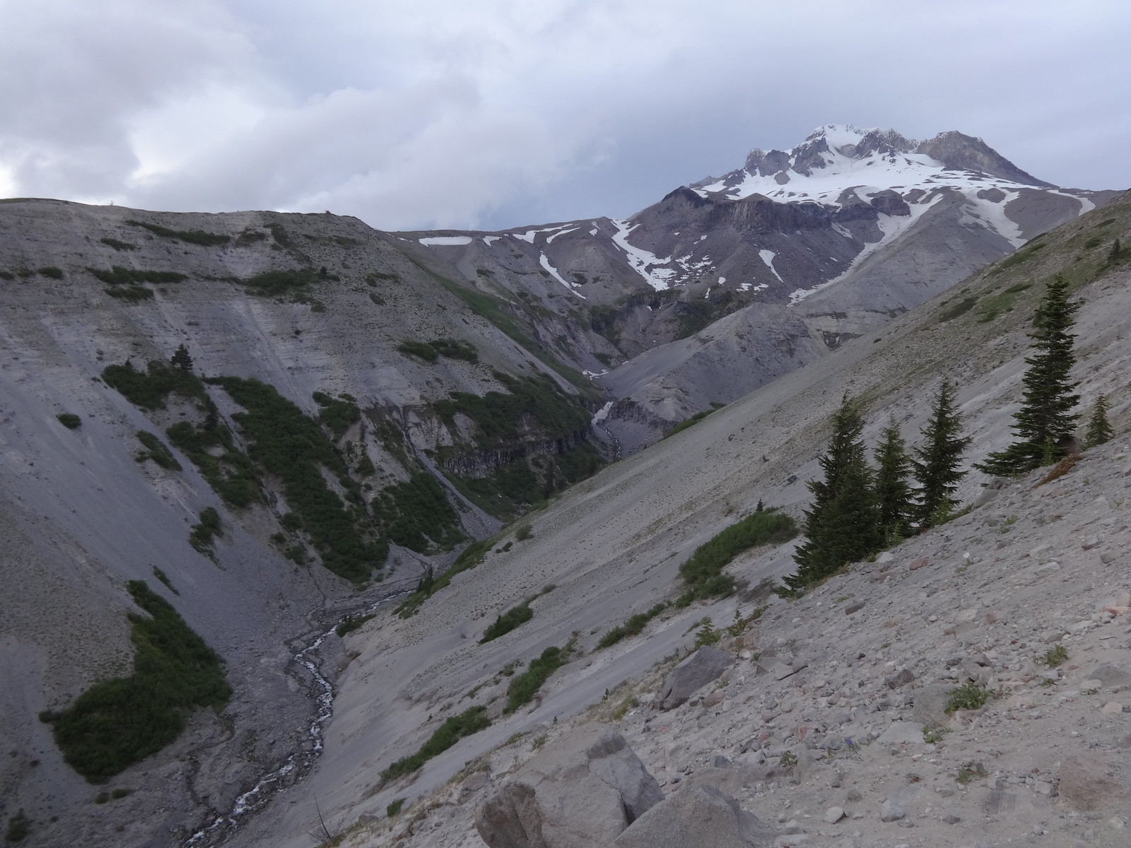
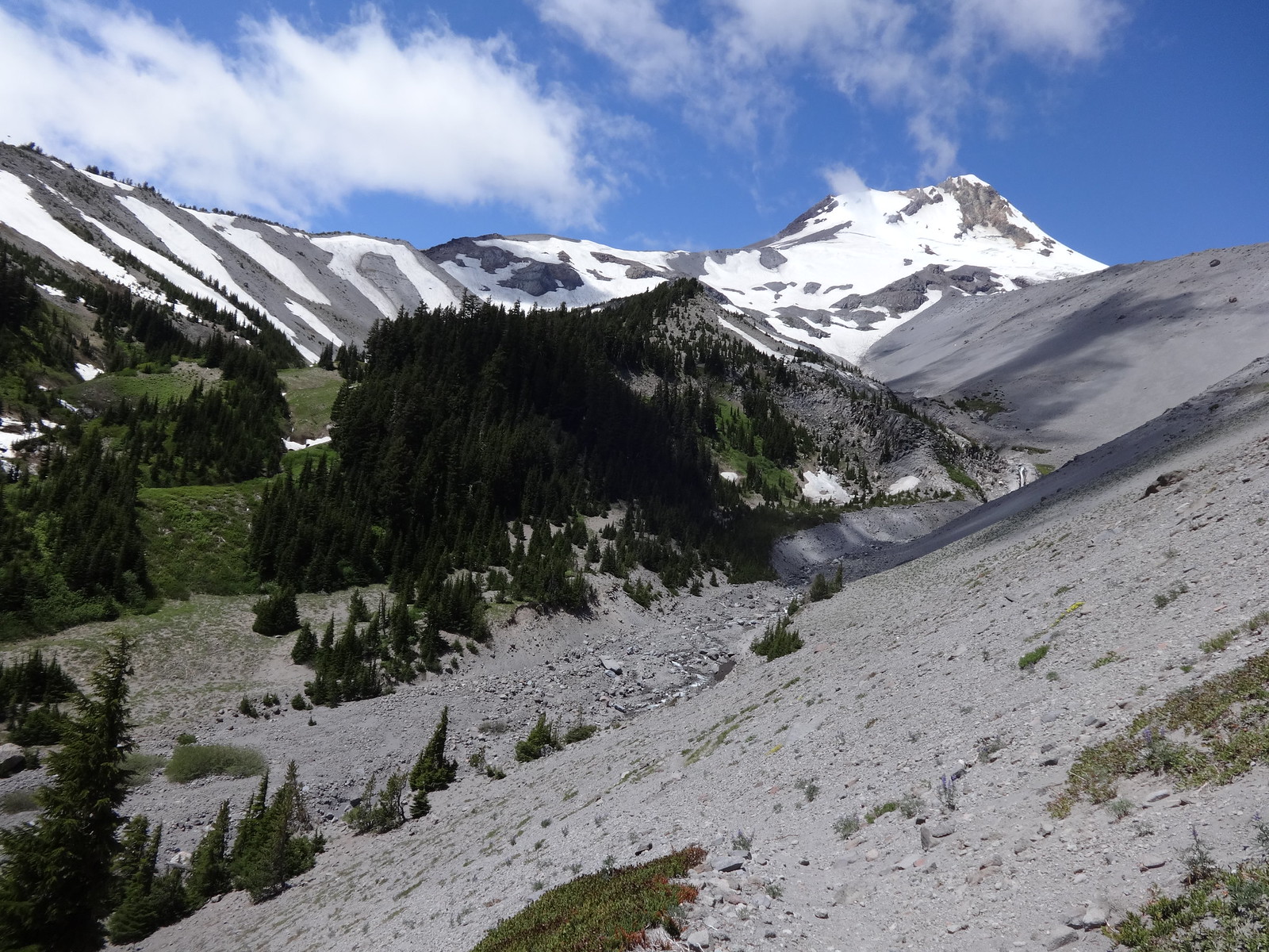
View on the approach to McNeil Point:
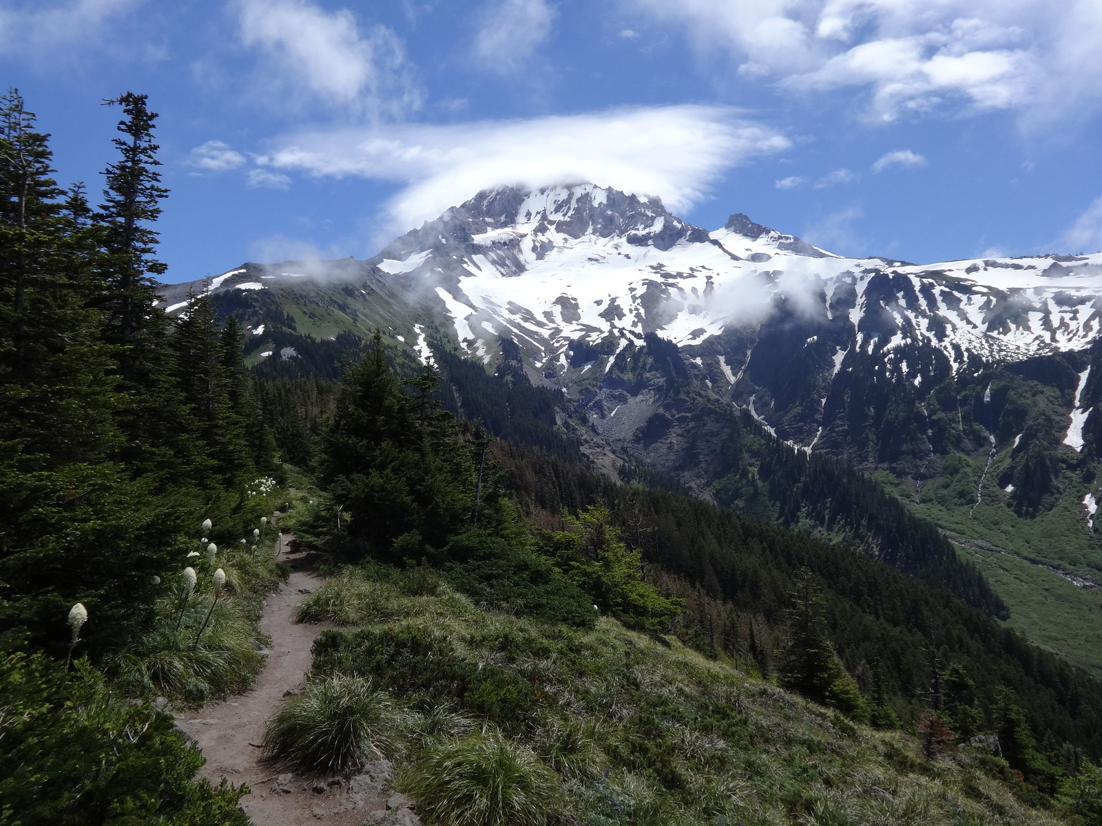
And then suddenly snow coverage increased dramatically:
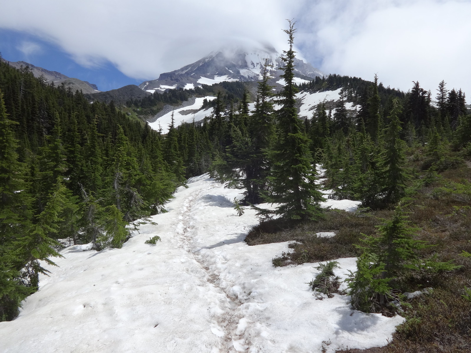
Snow on the trail, Barrett Spur in the background:
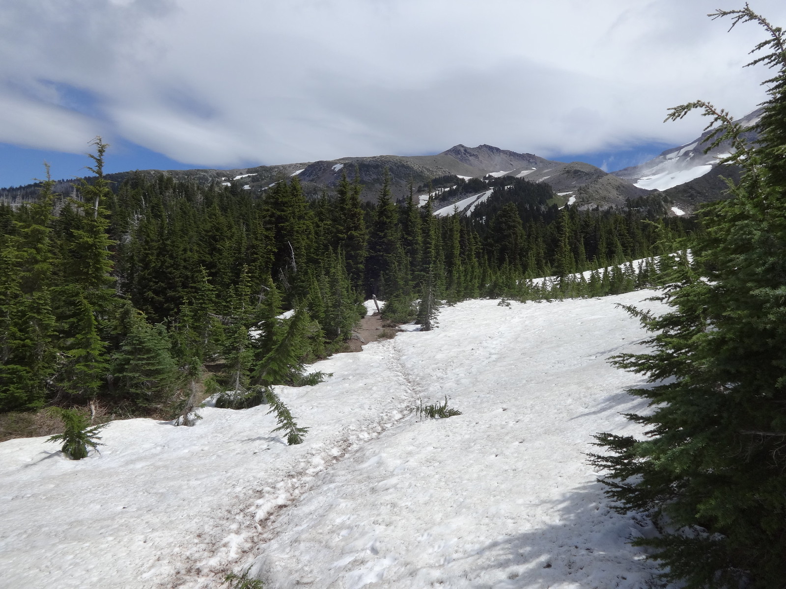
Lots of snow:
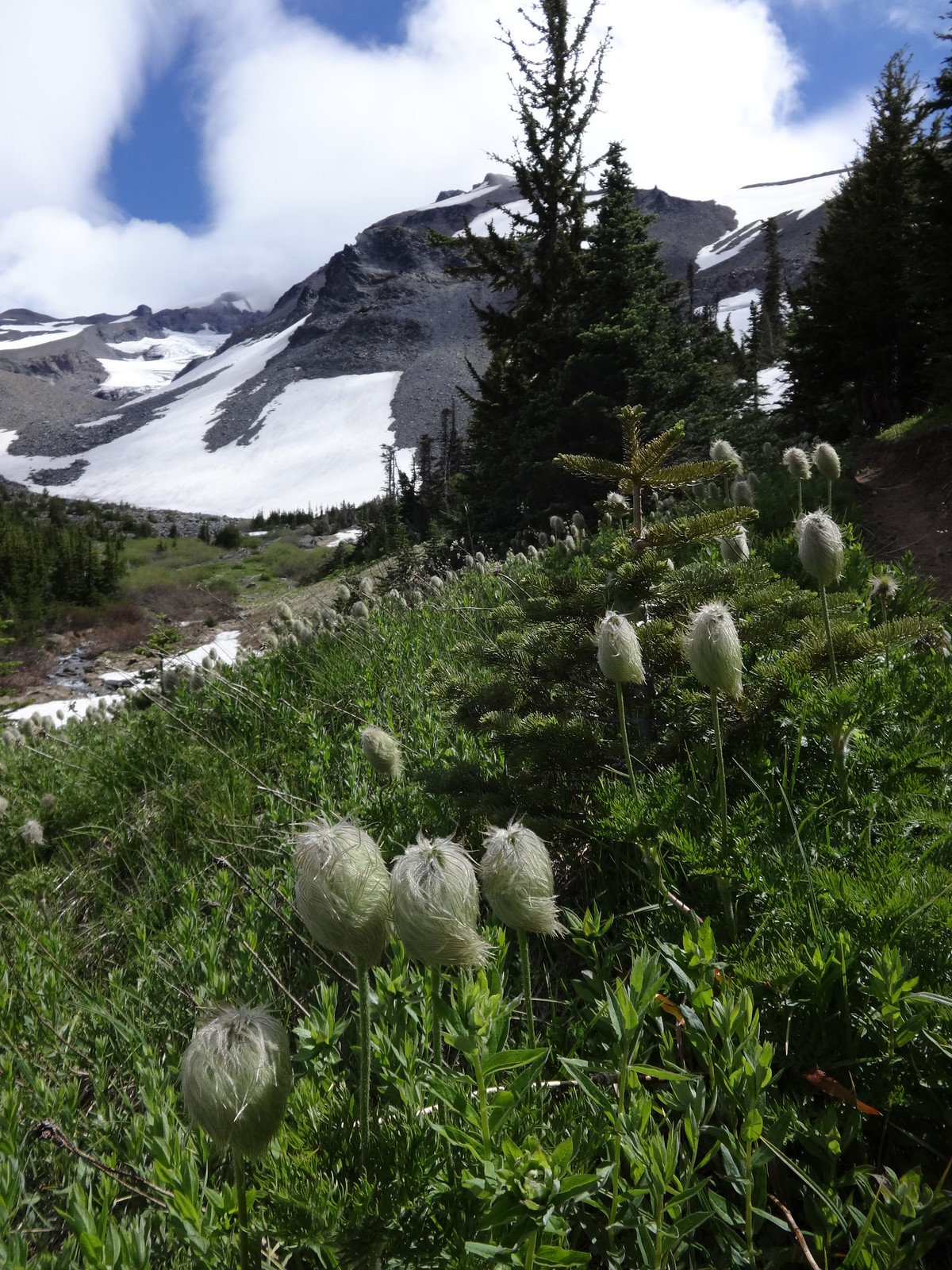
Western Pasque Flowers near Elk Meadow (stage 1):
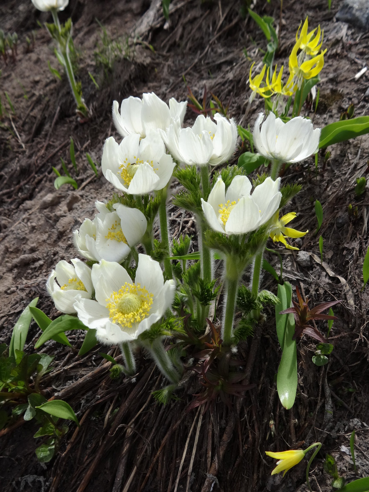
Western Pasque Flowers near Elk Meadow (stage 2):
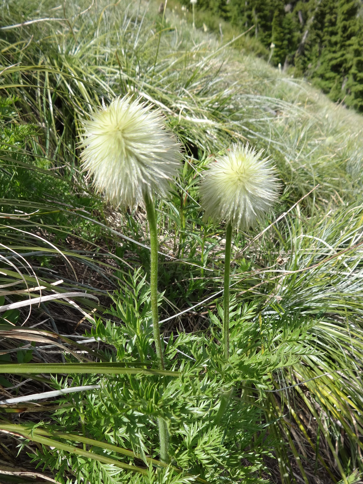
Western Pasque Flowers near Elk Meadow (stage 2):
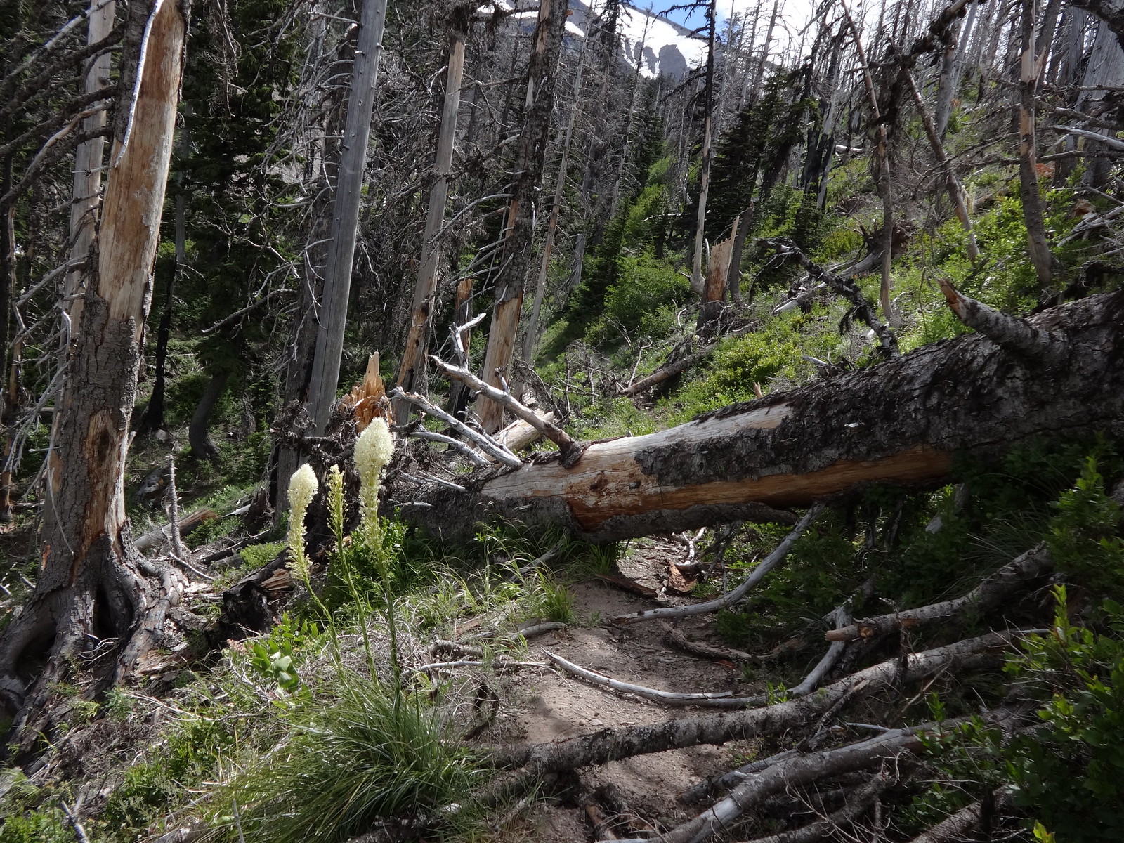
Beyond Elk Meadow, going through the Dollar Lake burn, there is a stretch with some downed trees:
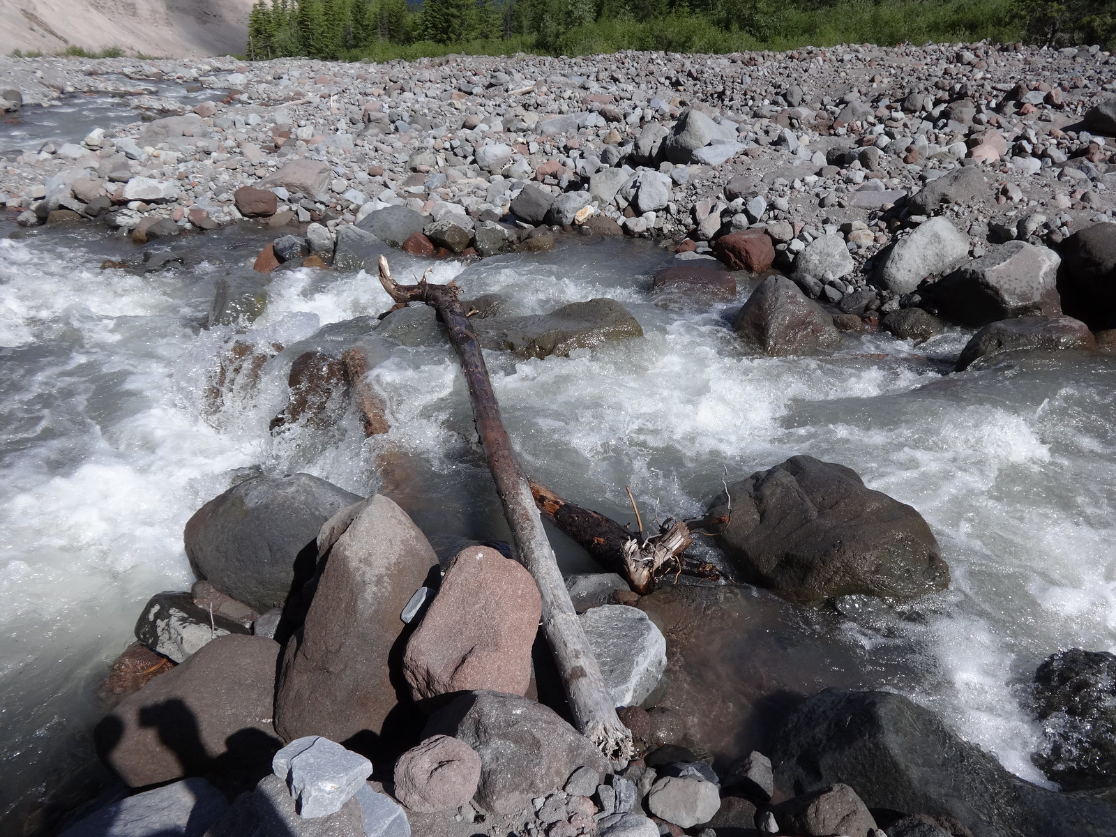
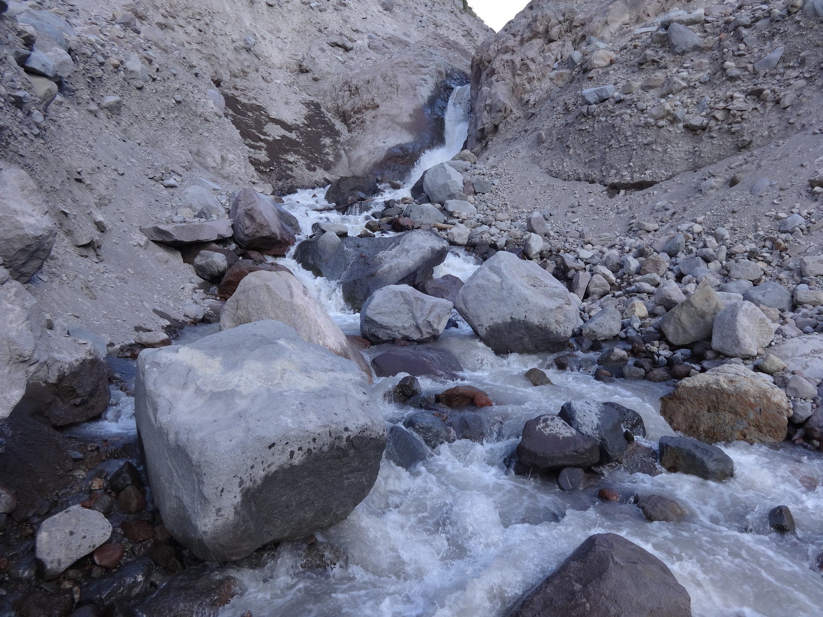
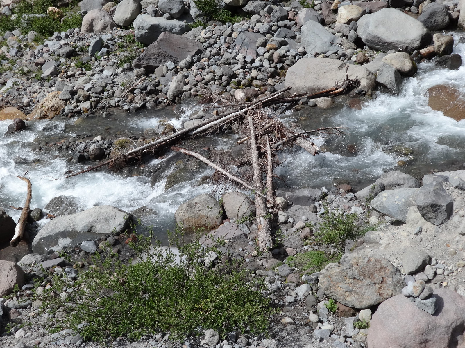
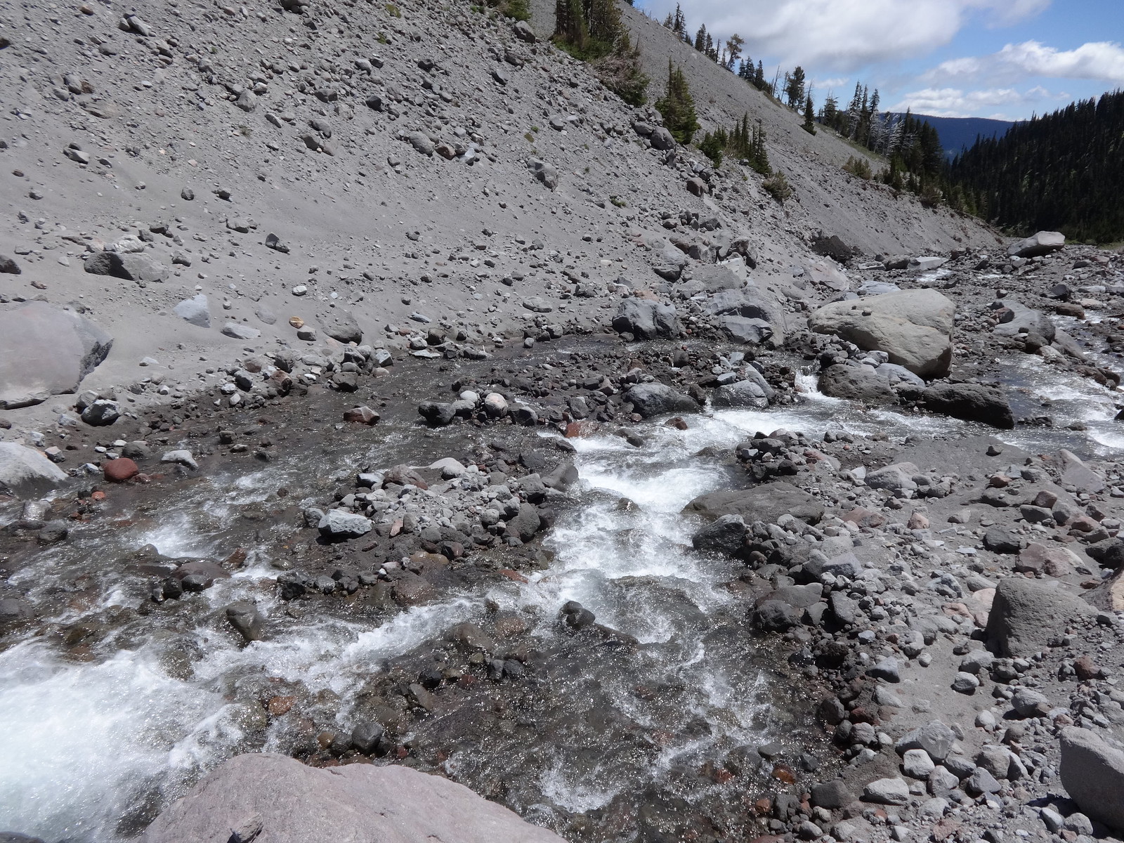
The crossing of the Coe is my least favorite of the whole TT:
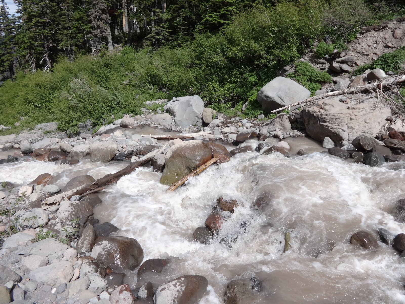
Short video of the Coe Branch:
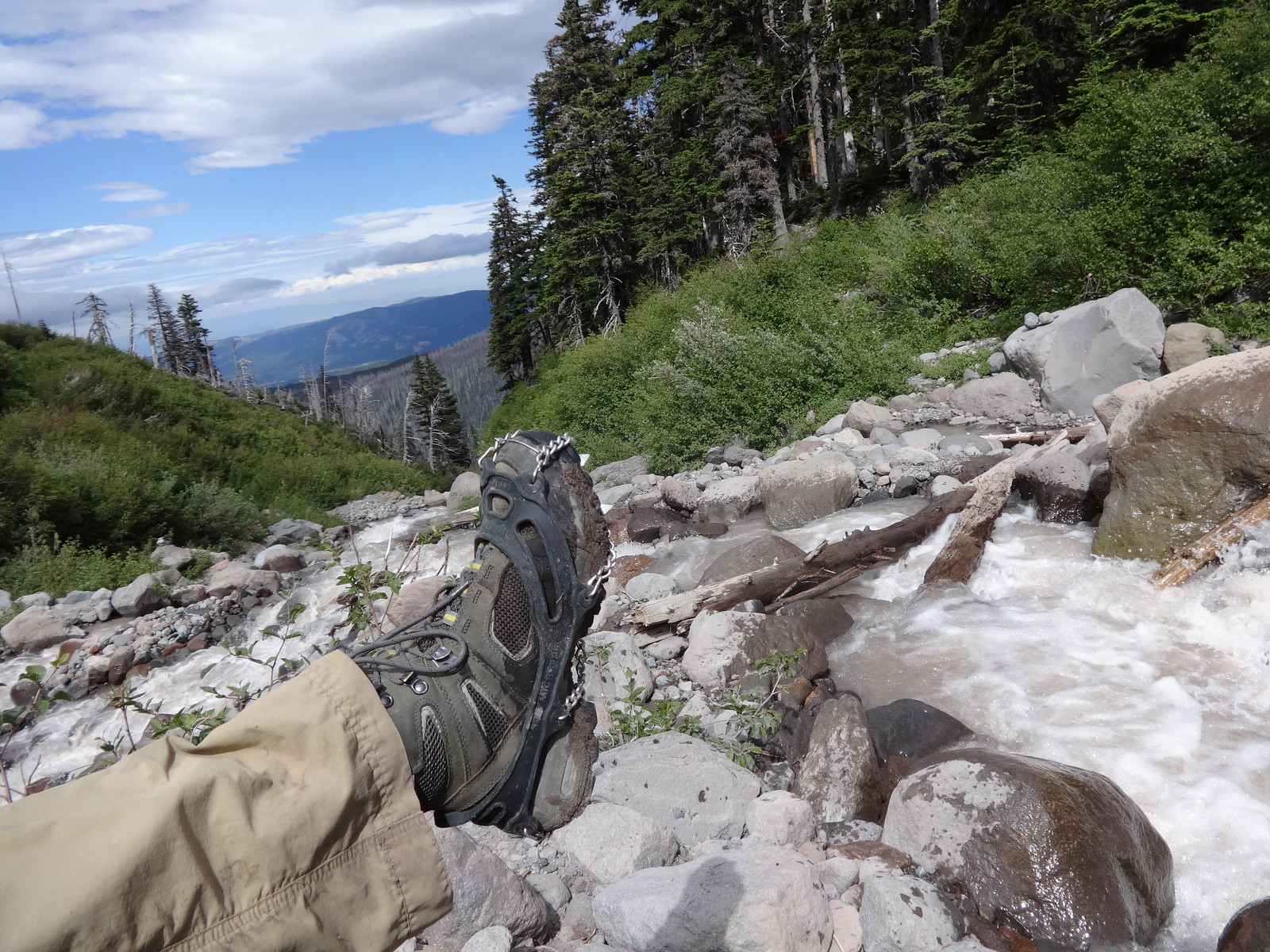
Good thing I had these:
OK, now we get to the part about the Eliot crossing. For those of you here just for the pictures, you can skip this part.
The short version is there was an official crossing that got washed out several years ago. Entirely, completely washed out. Users created their own trail. It was steep and most people used ropes to descend to the crossing and ropes to ascend back up. The Forest Service built a new crossing a year or two ago further downstream.
Because I was curious, I started to check out the old washout crossing. However, there were lots of downed logs and overgrown brush, so I turned back.
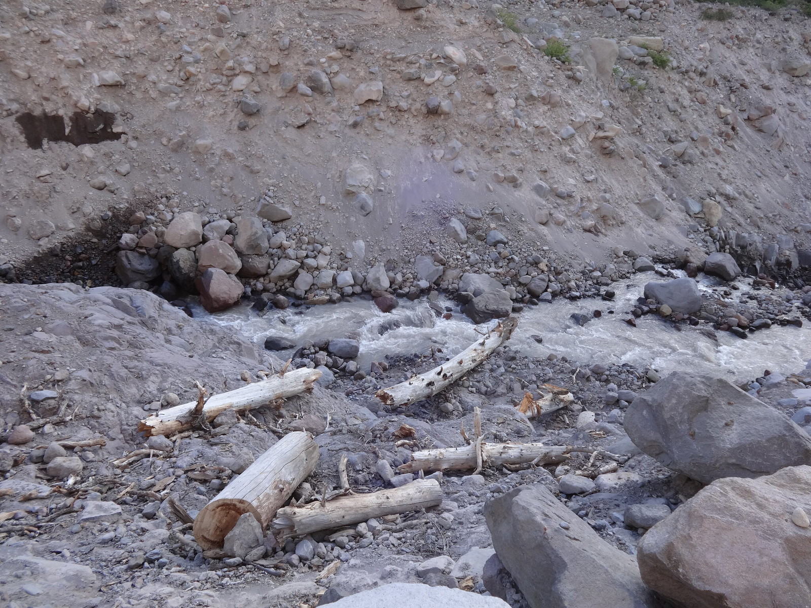
The trail for the new crossing is very nice and in great shape. There was a recent report of a washout on the new trail, but there was no evidence of that. The actual crossing of the Eliot is no easier than before. However, upstream of where the trail hits the water, there are three giant boulders than an agile person can jump from one to another. Once across, I saw a log further downstream that could be crossed, but there is no path to that log – yet.
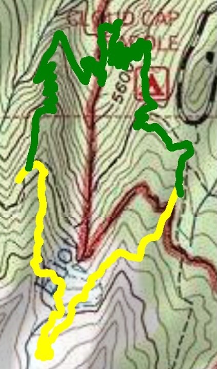
Now for some numbers comparing the old washout crossing to the new crossing. The numbers use my GPS tracks from this most recent trip and one done in 2013. The numbers compare from where the two routes diverge at 5980’ on the west side and meet again at 5980’ on the east side.
The new crossing is longer, 1.65 miles vs. 1.05 miles. The new crossing has more EG to get to the meeting point, 575’ vs. 450’. Because the new crossing requires a loss of 575’ to the Eliot, I thought the EG difference would be much more. What I had forgotten was that the old crossing required a climb of 275’ to get to the west rim descending point, then another 175’ to get to the east rim.
Even though the new route is longer and has more EG, my opinion is that it is easier and far safer than the old washout route. So there!
Topo view of GPS track comparison:
The three boulders in the middle of the picture are what I used to cross the Eliot:
This is the log further downstream that could be used to cross:
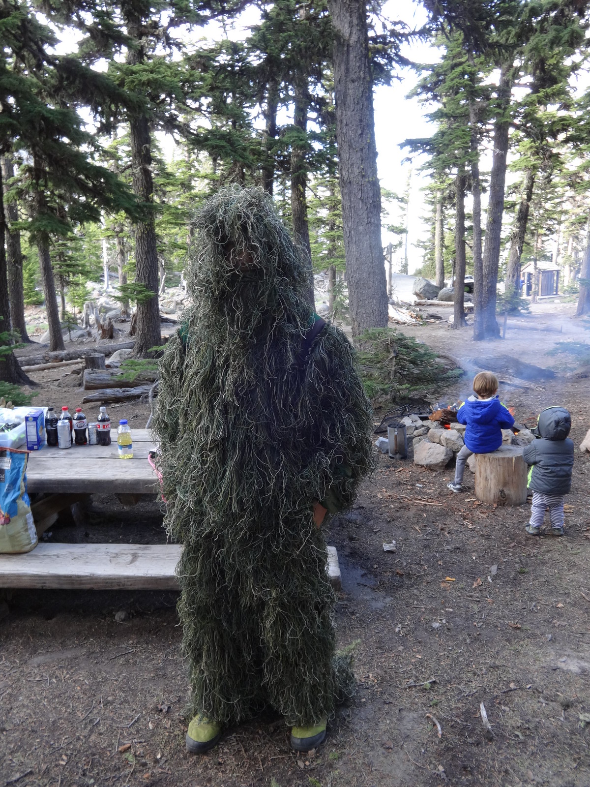
There was a group of backpackers I passed after the Coe Branch, who were meeting some support at Cloud Cap Campground. Upon arrival at the campground, I was met by the friendly support group. They were kind enough to offer me some water. One of the support group members was dressed in a moss suit, and planned a surprise greeting on the trail for his friends. I think I might soil my pants if I saw that on the trail.
Jade in his moss outfit:
Exhausted, camp was made just outside of Cloud Cap Campground. A tent-bending windy night ensued. Unfortunately my tent was on volcanic sand. Dust and sand got everywhere, even in my ears and up my nose.
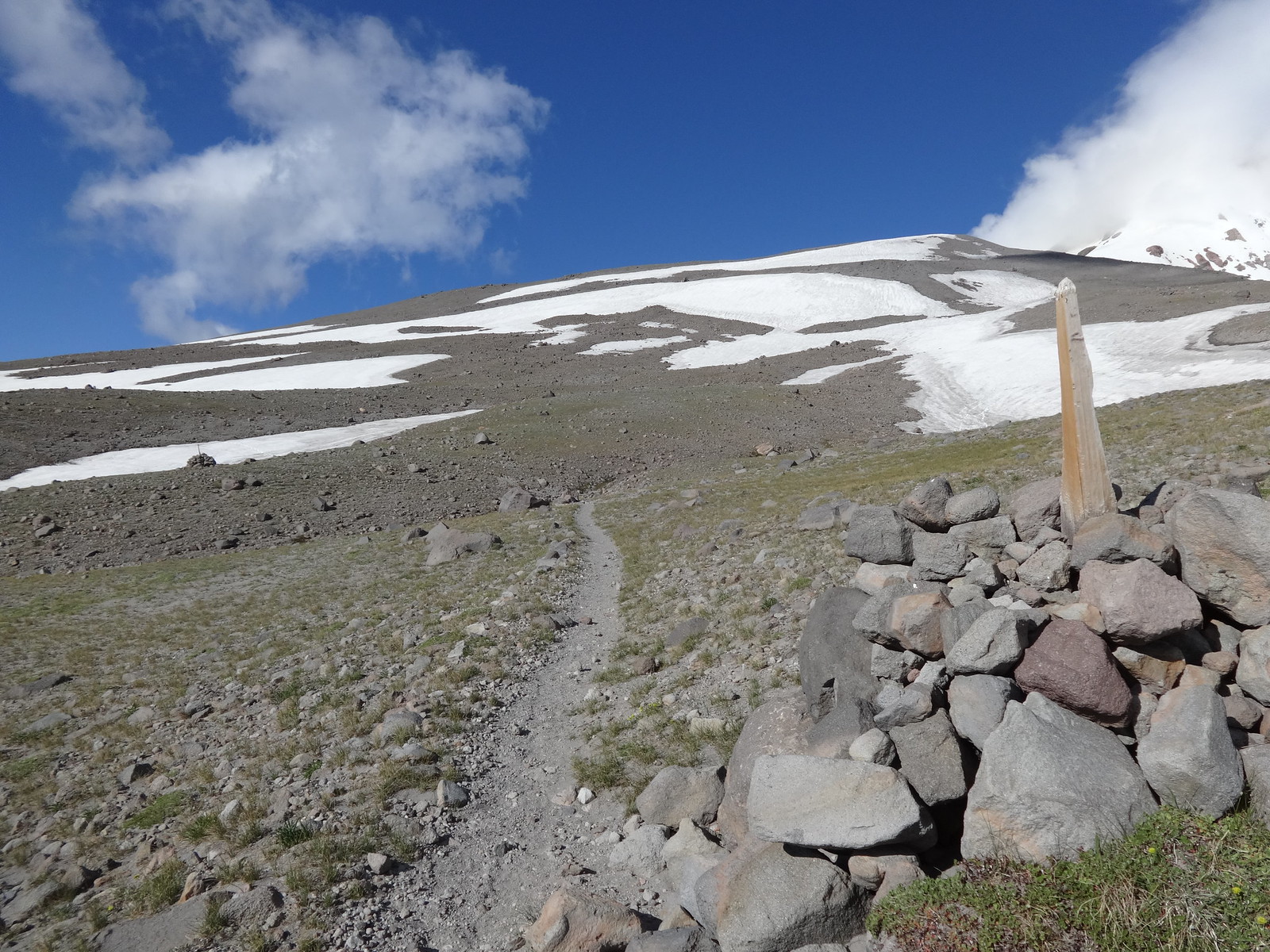
The next morning began the ascent to the TT high point at 7350’. This stretch is truly alpine, with not many trees. There were many snow fields to cross, but easy to traverse.
On the way to the TT high point:
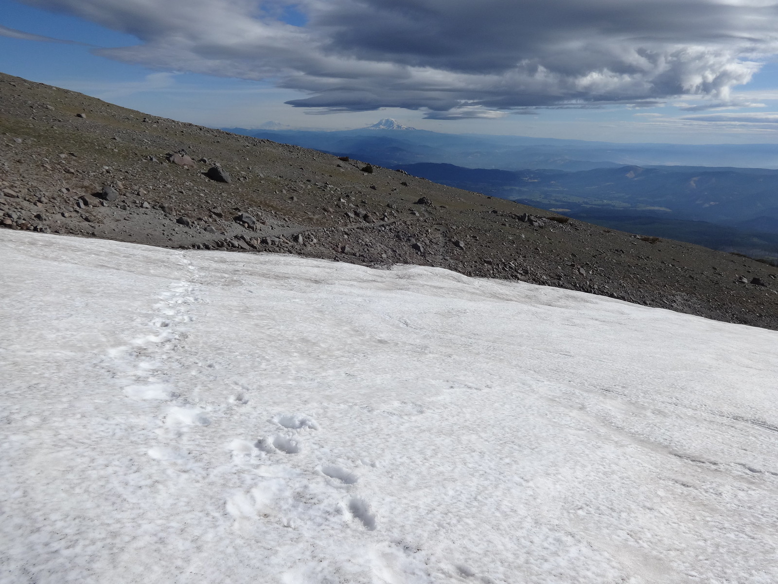
Looking back, Mt. Adams in the distance:
After the TT high point, the reward is some downhill. Then some uphill, more downhill, and so on several more times.
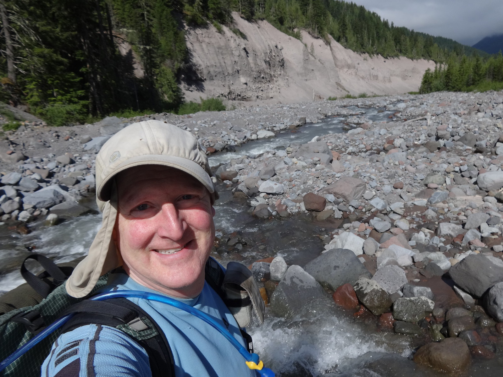
The Newton Creek crossing:
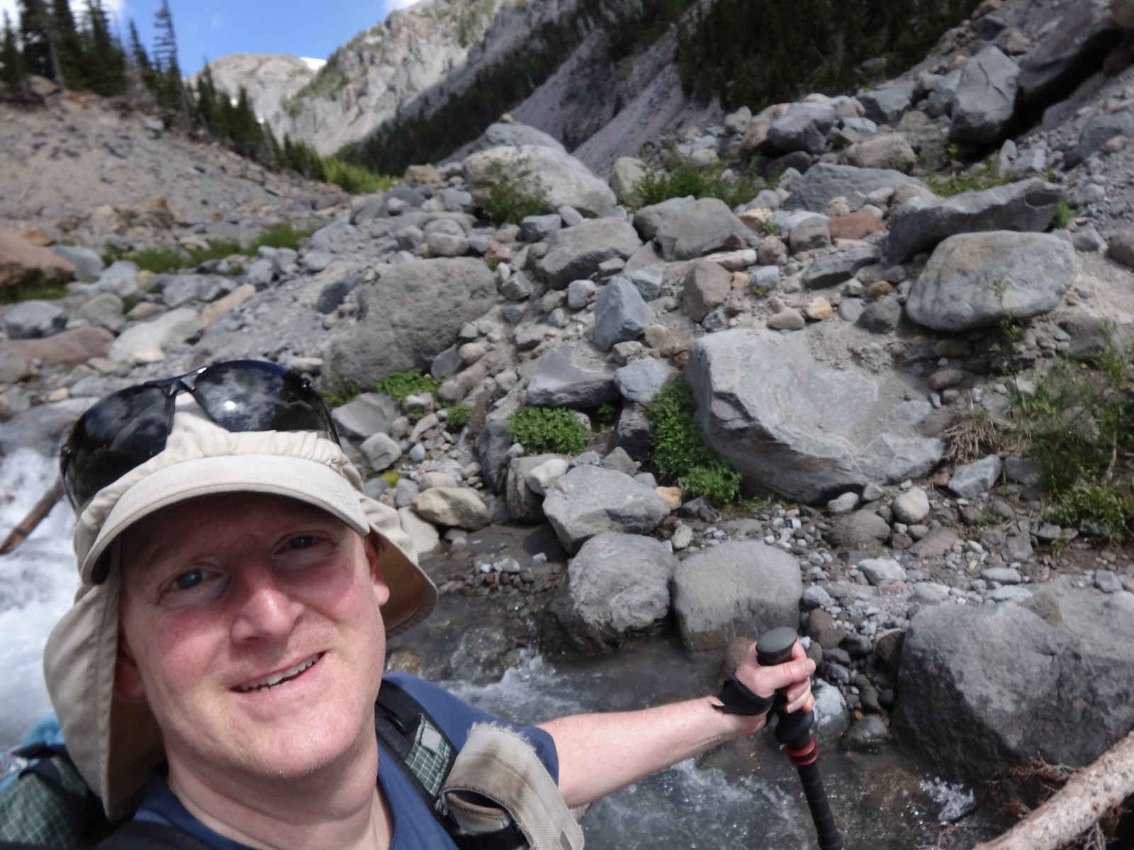
Selfie in the middle of the Newton crossing:
The next significant crossing is Clark Creek. There are no logs to aid in crossing. However, upstream from where the trail meets the water is a spot where the creek widens, making for easy rock hopping.
The approach to Clark Creek:
The Clark Creek crossing:
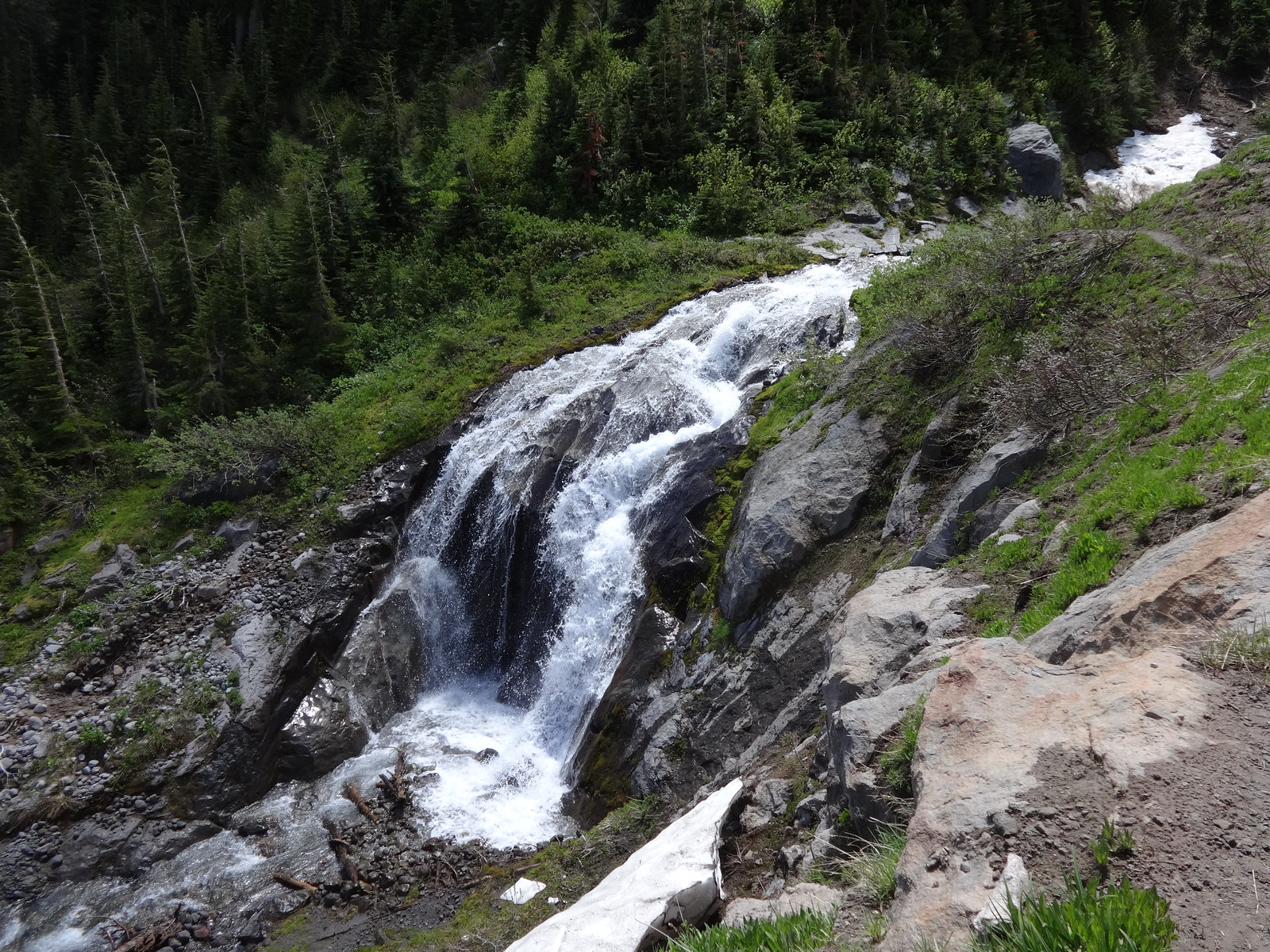
Pretty waterfall just after Clark Creek:
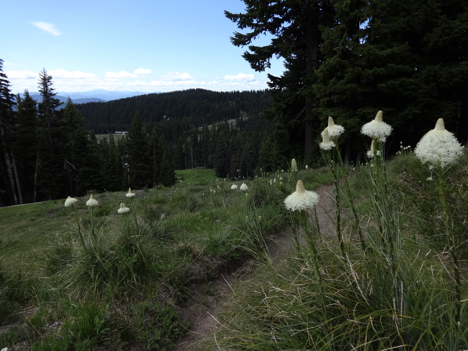
The stretch through Mt. Hood Meadows ski area is really beautiful:
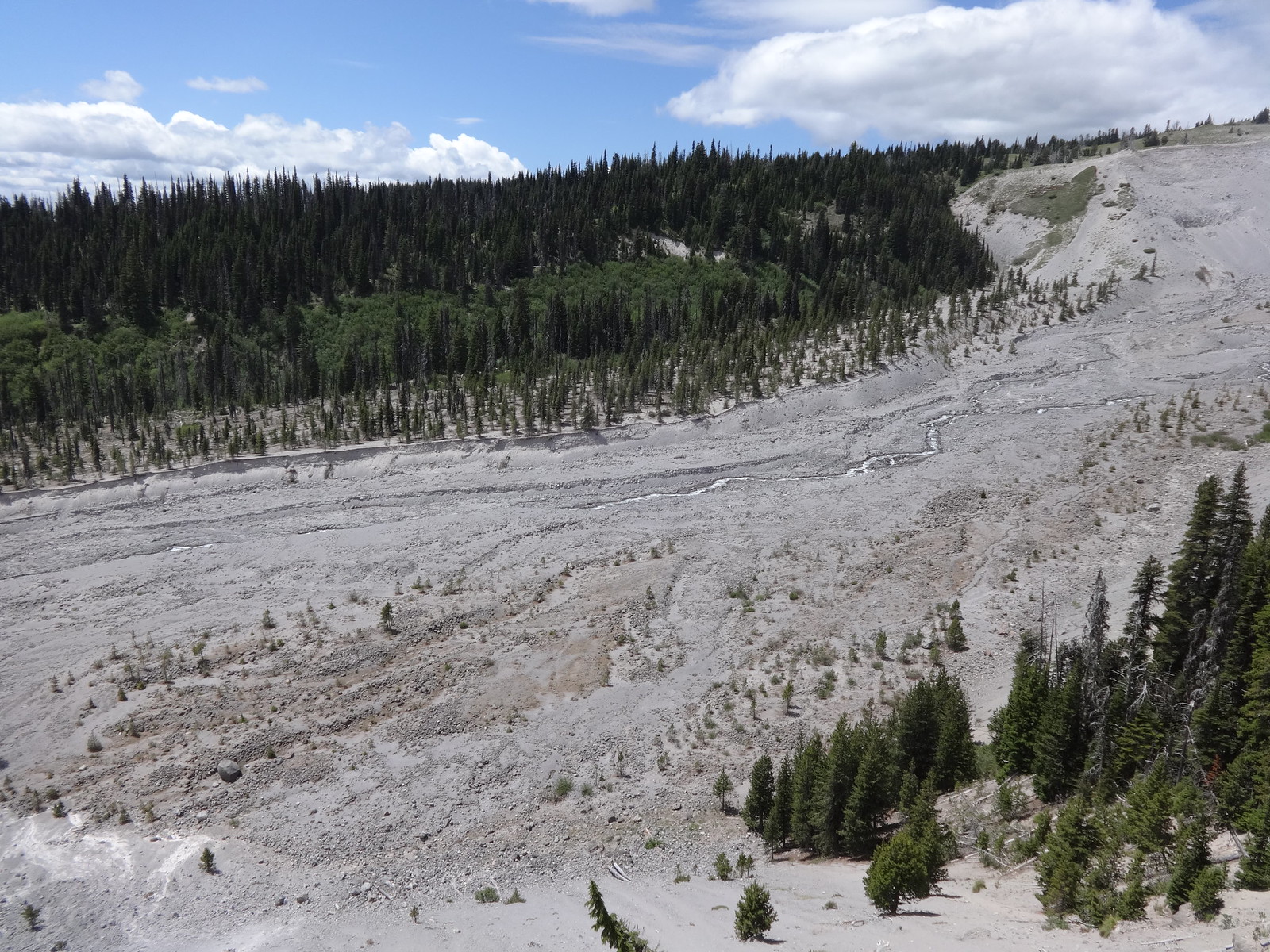
The White River flood plain is the widest one on Mt. Hood. Crossing it in the hot sun seems to go on forever. There is no definitive crossing spot. The best advice is to find a place where the river splits apart, so it can be rock-hopped little bits at a time.
The White River flood plain:
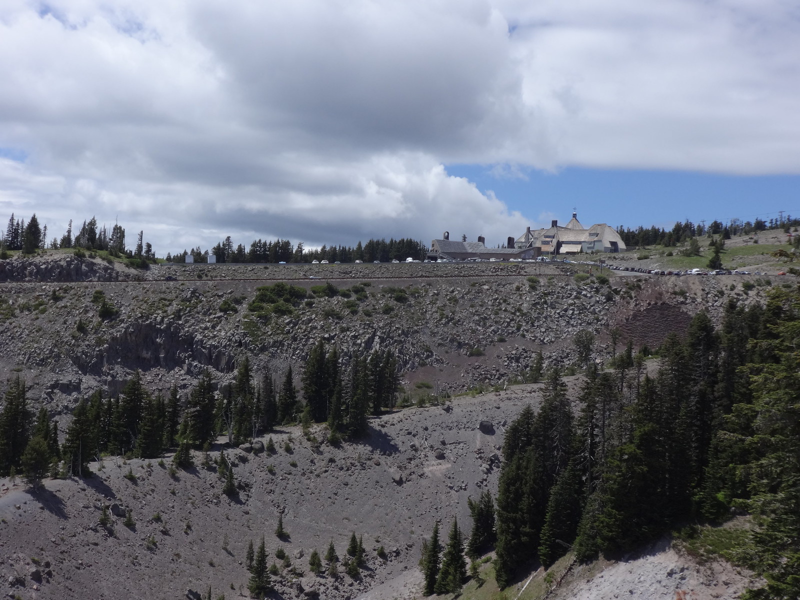
The last leg of the TT is a 1025’ climb from the White River to Timberline Lodge in about two miles. Much of this in loose, sandy soil. A couple of drainage ravines are thrown in for good measure.
Almost there:
Final comment:
One unnamed creek crossing had the trail washed out on the other side, making it difficult to find the trail. Once found, I made some cairns for the next people. Sorry Tom. I made up for it by destroying a couple of fire rings.
Hike the good hike,
Brad