
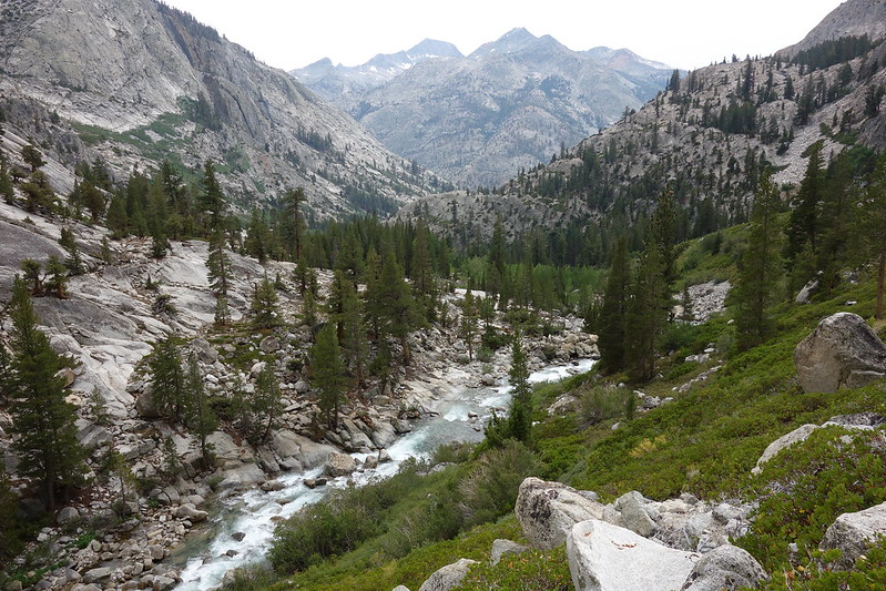
Opening picture: the headwaters of Goddard Creek.
This is the third of four entries about Krista and my circuitous ramble up the Sierra this past summer, from Kearsarge to Piute Pass. The first is here, and second here. I’ll post a link to the last one when it’s finished.
As before, you can read much more expansive daily entries at my blog, here. (Though as before, I don’t exactly recommend it.)
September 5, 2018
Davis Lake to Aspen Meadow
Off Trail from Davis Lake to Goddard Canyon + Goddard Canyon Trail + PCT852-855
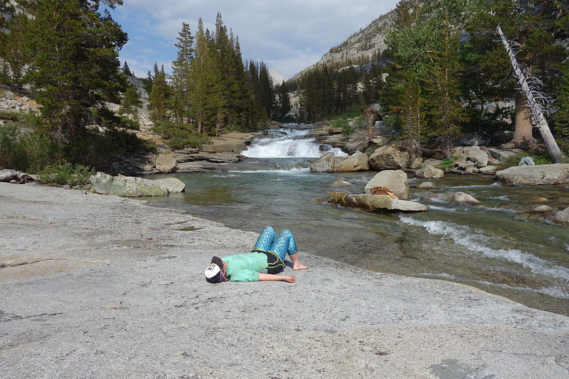
The morning feels like a dream. The air is clear in camp, but there’s a soft mist on the ridges that makes them seem like fuzzy old photographs, or images from old Hollywood movies with Vaseline on the lens.
And it’s absolutely quiet, quiet in that way that surrounds you and makes the air thick. We talk quietly, the words fall still, unechoing. Two birds silently circle the lakes, hundreds of feet above us.
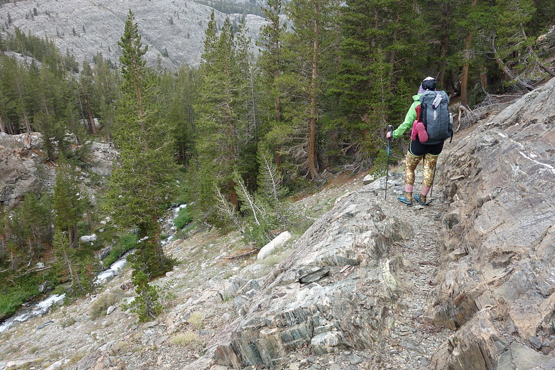
We finish crossing to the lake’s north side, then scramble across the only obvious impediment in sight: a steep rockslide, a few hundred feet across. It looks daunting from the edge, but there’s something of a kicked-in boot path, and we get through easily.
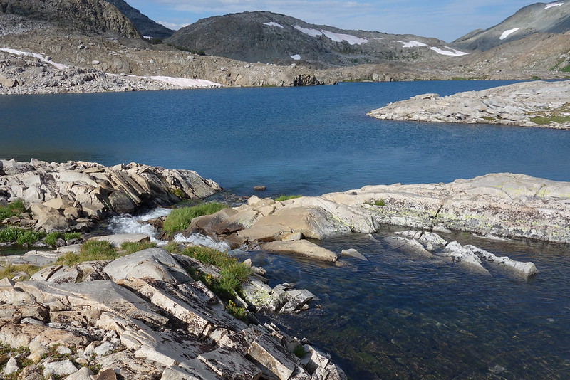
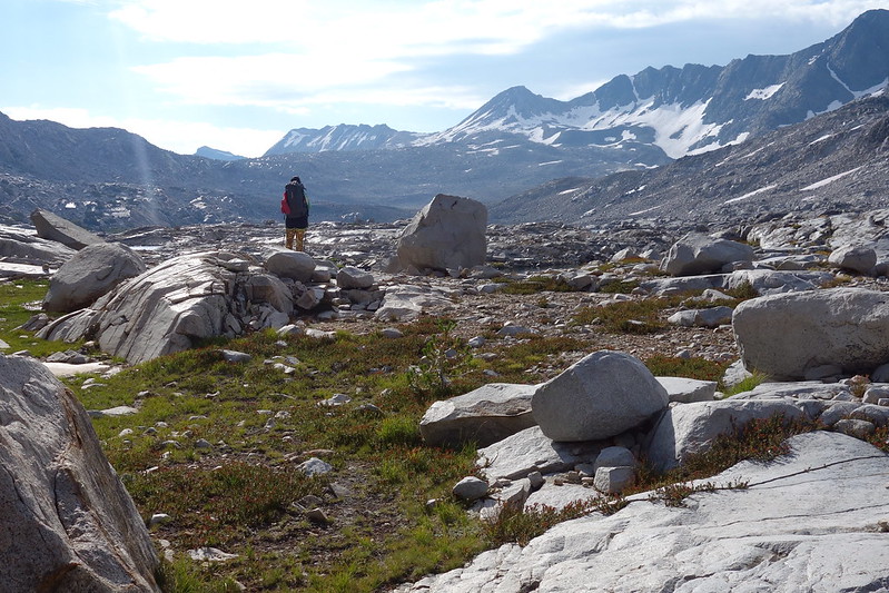
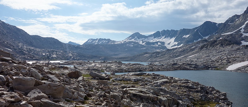
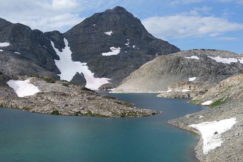
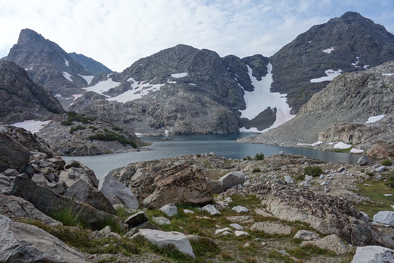
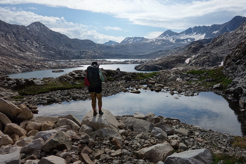
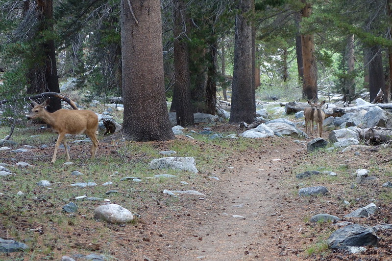
Then we turn away from the lake, and thread through a hidden pass beneath Mt. McGee. The way is lined with small tarns, and dozens of deer tracks, crisscrossing through the grass that grows increasingly thick the further we go.
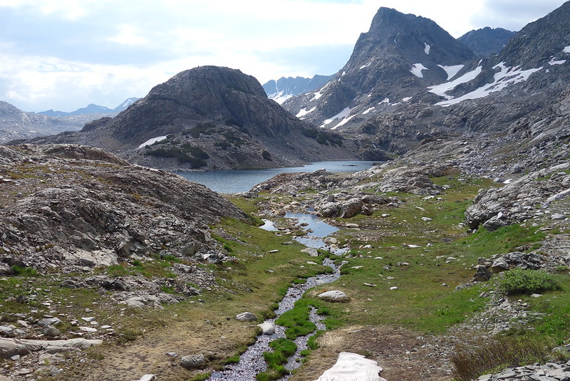
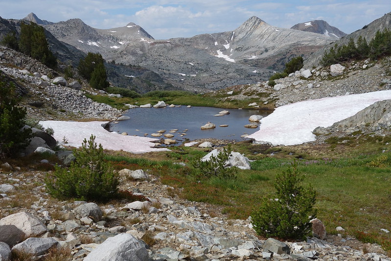
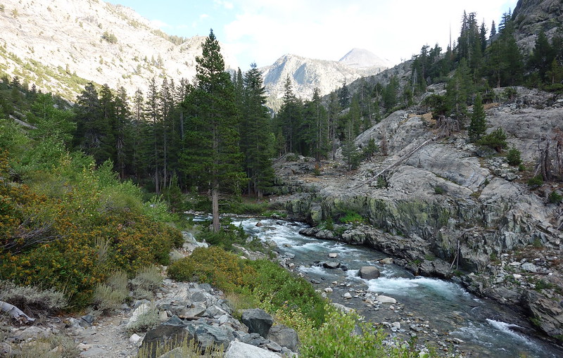
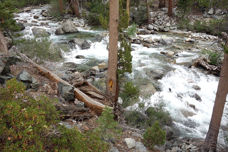
The other side of the pass is another world: a verdant valley, watered by hundreds of tiny, trickling streams. A thousand feet below, the North Fork Goddard cascades down its steep canyon.
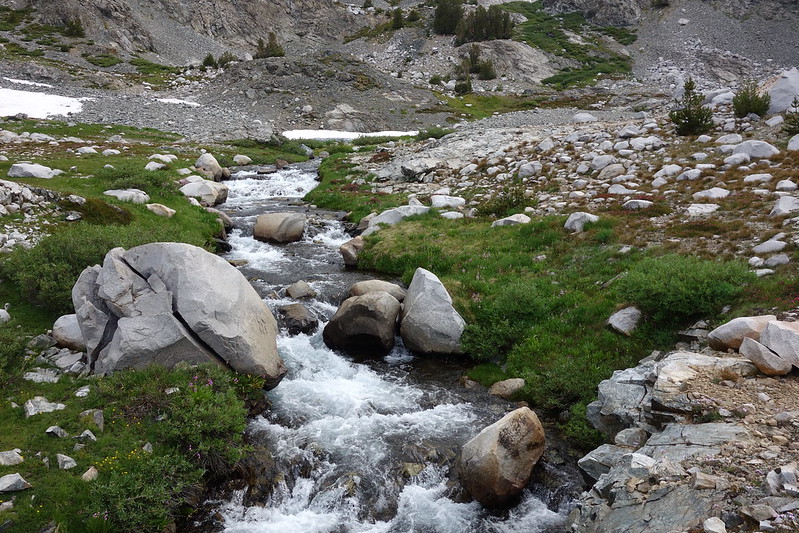
We scramble down to the creek, then follow it, first through open meadows, then down wooded cliffs. There are occasional bits of boot path, but the way is always obvious—sometimes on one side of the creek, sometimes on the other.
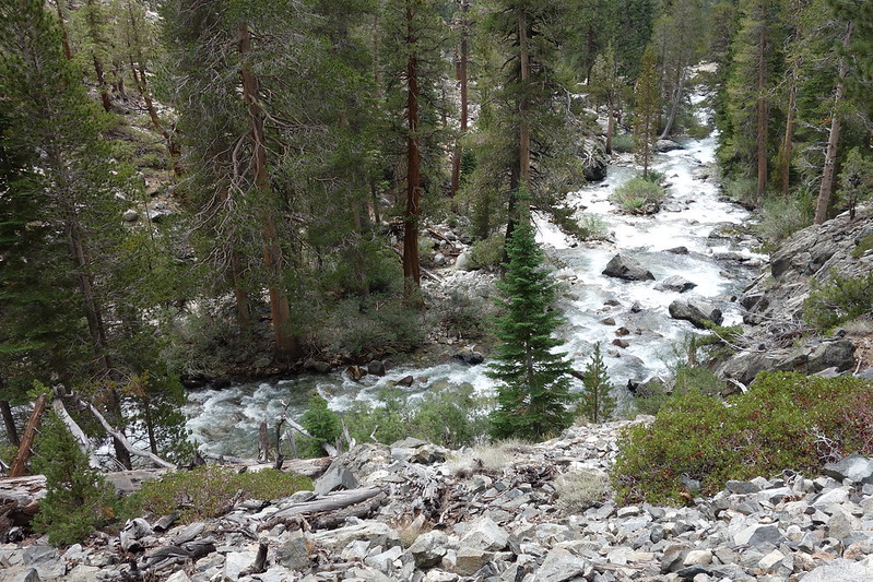
As it approaches the South Fork San Joaquin, our canyon steepens, eventually ending in a set of sheer cliffs. But Krista finds a way through a small wooded notch to the west. On the other side, there’s a grand old abandoned camp with room for dozens of tents, then the San Joaquin, here just a stream, ten feet wide and knee deep.
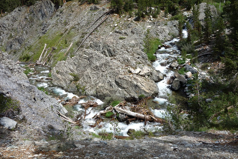
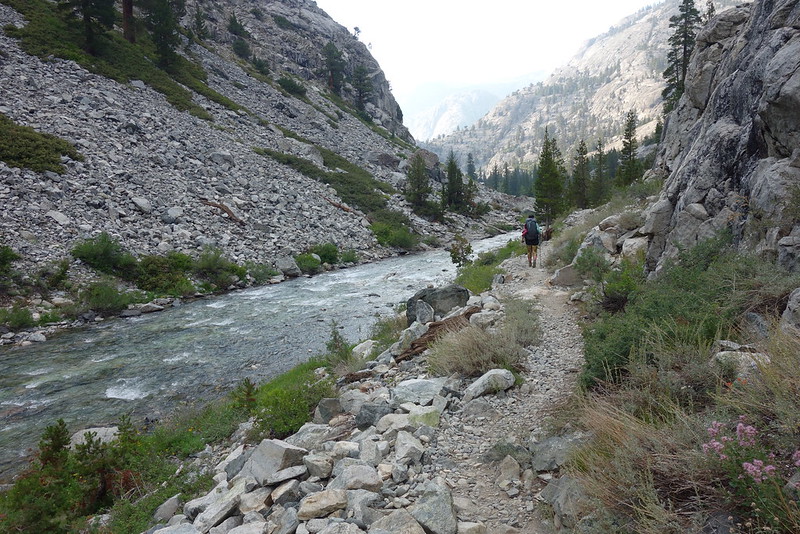
We wade across the river, and find the old Goddard Canyon Trail, here as thin and faded as the boot paths we’ve just been following.
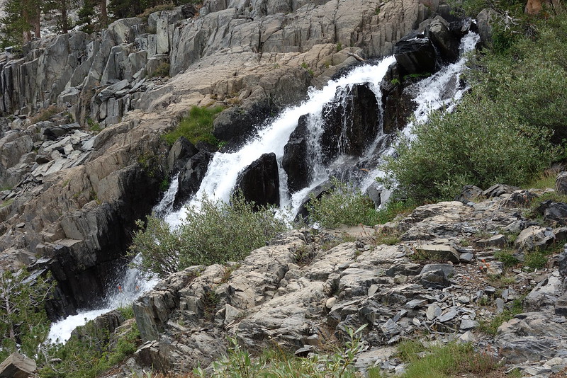
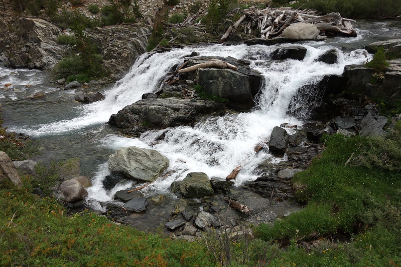
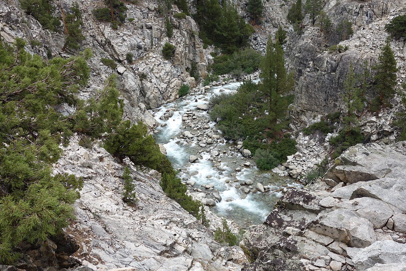
I guess this part of the Park doesn’t get visited much anymore. The trail spends the next few miles equivocating on whether it really wants to exist, eventually settling on a solid “maybe?” But it’s absolutely gorgeous. Waterfalls fall from the Le Conte Divide, as the San Joaquin tumbles itself into a proper river.
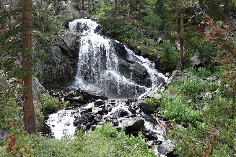
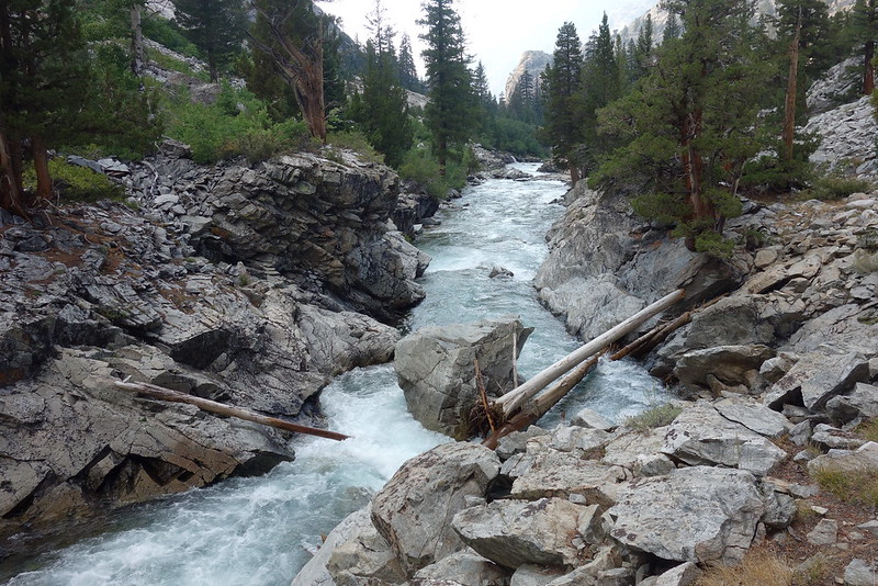
We stop at the mystifyingly named “Pig Chute”—Krista want to rechristen it the “Taffy Channel”—for lunch, and eat at the edge of a broken rock ledge overlooking the water. The river’s churning so fast here that it almost appears to stop—a standing, solid white ribbon bisecting the valley.
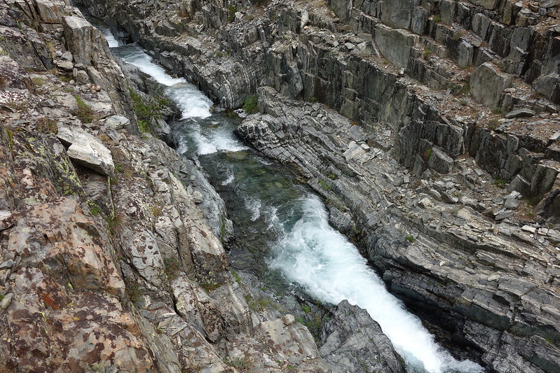
The geology’s fascinating. It feels like columns of sediment have somehow been shifted onto their sides, like gravity has jumped perpendicular and now we’re walking straight up.
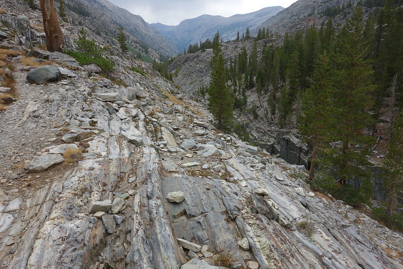
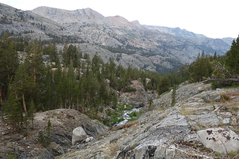
It rains on and off as we make our way down the valley. And the trail drifts into being until we’re on a well-worn path, meandering through recent avalanche rubbish and old camps in Franklin Meadows.
We hit the JMT in late afternoon. We haven’t seen anyone else all day, but now there are three groups, all at once, gathered along the river. A woman on the opposite shore sits disconsolately, her feet in the water, grimacing. She looks exhausted. A group of dudes in their mid-30s with packs towering above their heads trundle across the bridge, unstably swaying in our direction. “Are there any campsites nearby?” We have no idea. Probably? They set up in a wide section of trail a few hundred feet down. Or: they begin to set up, then stall halfway through, and just stare, unfocussed, into the trees.
We’re tired too, but not like that, and after a brief pause to filter water, we continue on. Shortly after the junction, Evolution Creek joins the San Joaquin, and doubles its size.
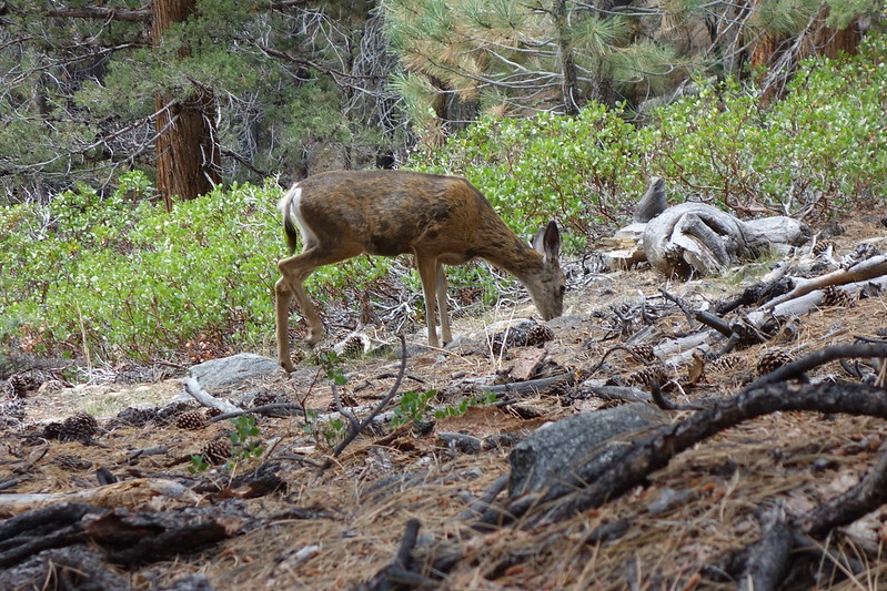
There are posh camps scattered along the river, and a parade of hikers, fresh from resupplies at MTR. Behind one large group, a family of deer follow, seemingly unnoticed by everyone but us.
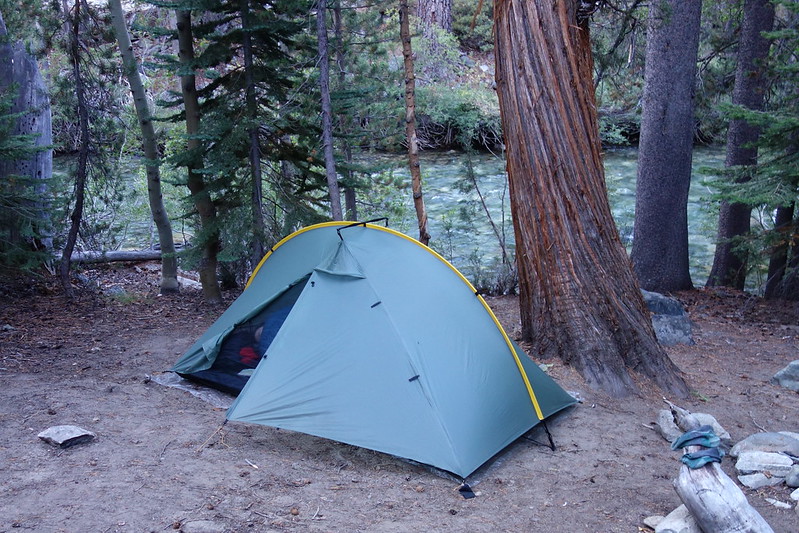
We find a deserted place in Aspen Meadows to set up for the night. While we wash off, a curious dipper lands on a half-submerged rock in the middle of the river and chirps a strange song that mingles with the white water’s white noise into a stilted harmony—high pure tones submerged under blankets of calming, slow chaos.
September 6, 2018
Aspen Meadow to MTR to Hutchinson Meadow
PCT855-858 (and back) + Piute Pass Trail
My alarm blares on at 5:30, and I beat the light out of bed.
The idea this morning is for me to leave early, run to Muir Trail Ranch to resupply, then run back part way, to Piute Creek, where Krista will be waiting. So I boil breakfast by headlamp, and rush onto the trail, just as the sun is rising.
The San Joaquin’s rushing quietly below. Birds are just waking up, swooping down from the trees, and skimming the water. It smells like juniper and wet summer rock.
Soon I’m exiting Kings Canyon National Park for the John Muir Wilderness, then following the river through sleepy waterside camps to MTR.
I get to the ranch just as it’s opening, but there are already a few hikers there—all southbound JMTers. A solo woman shows up just after me. She’s sent herself a pound of Halloween candy, just to share here.
The world has woken up on my way back, as has the sun. But soon I’m back at the creek. Krista’s waiting. We eat some small snacks I snagged from the hiker boxes at MTR as a wall of clouds climbs over the Le Conte Divide.
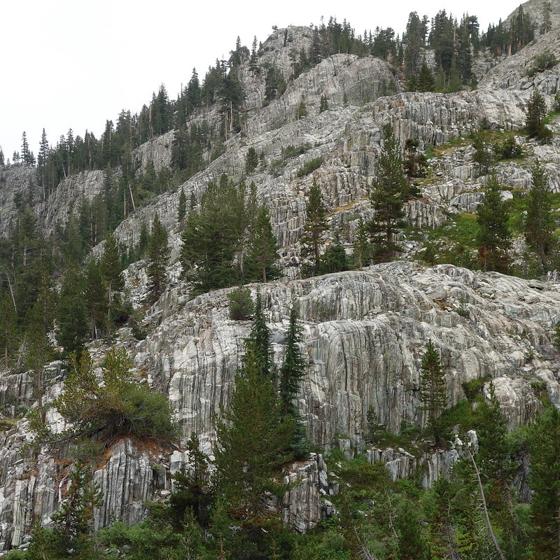
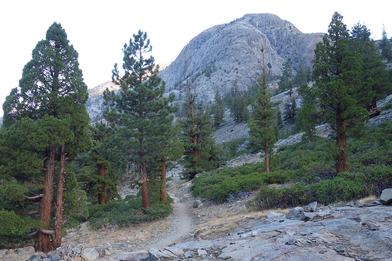
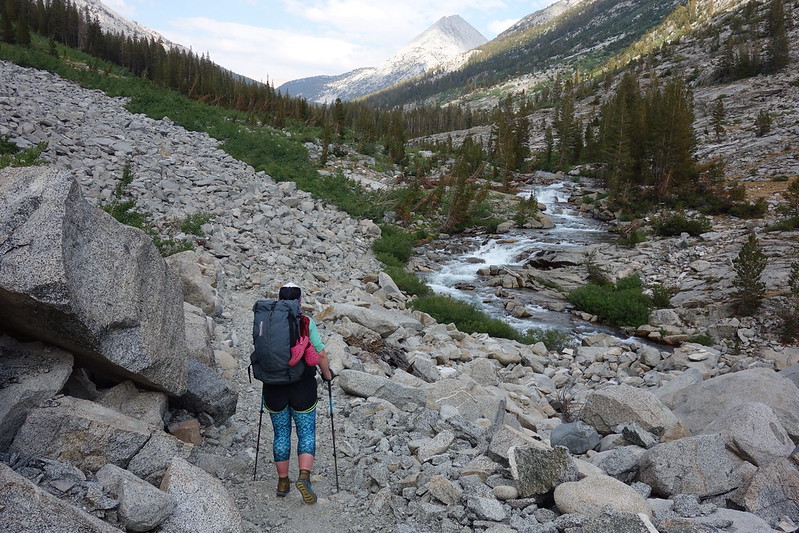
It starts to rain lightly as we leave the JMT and start up Piute Canyon, toward Humphrey’s Basin. I’d expected today to be mostly about making miles, but the Canyon is absolutely gorgeous: steep granite walls, lined with occasion stands of stunted juniper.
There’s lightning in the distance, but we stay just at the edge of the storm, walking through sun and rain at even intervals.
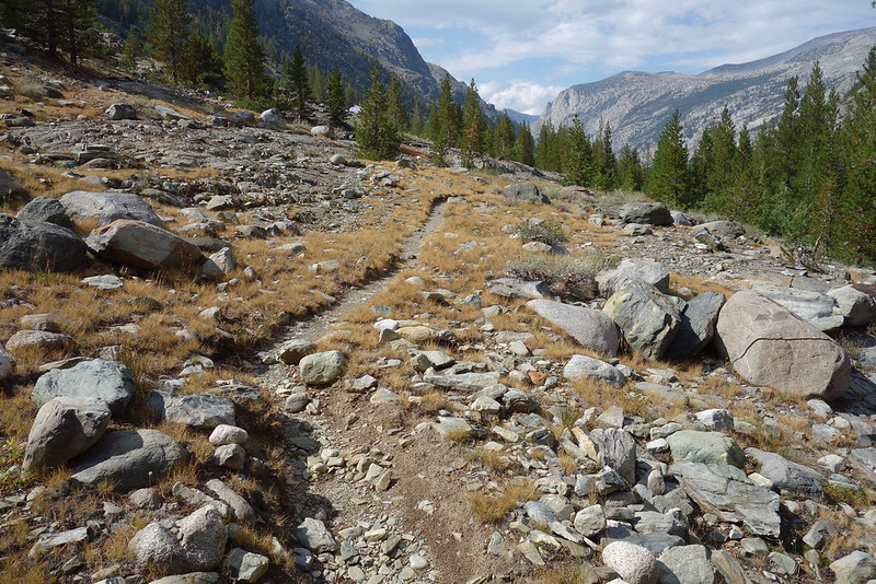
The canyon consists of several steep glacial steps, interspersed with narrow, nearly flat meadows. We stop in one, at the water’s edge, and eat in the fleeting sun with our feet in the slow, smooth stream.
After lunch, things turn. We’re walking through old avalanche tracks now, stumbling over blown down trees, torn from the wooded ridges above. And the rain comes on strong, accompanied by close lightning and thunder.
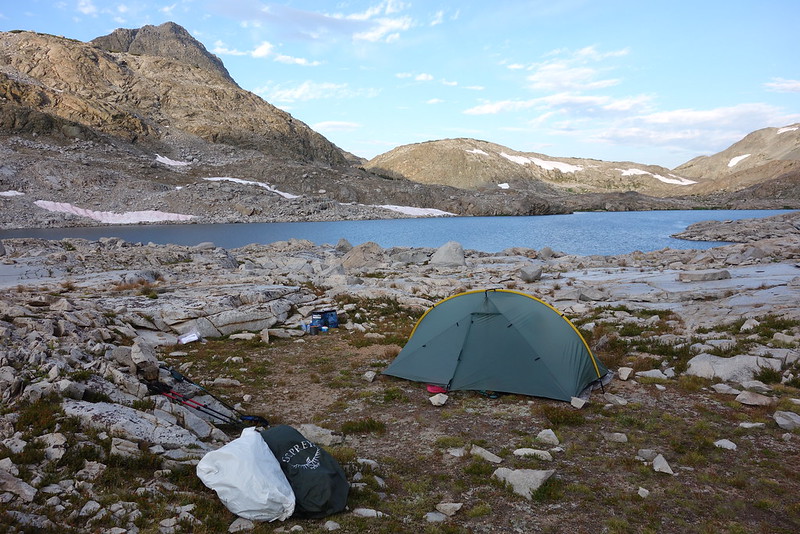
We rush up to Hutchinson Meadow, and find a massive old camp at the edge of flooded flower field, with a sheltered space for our tent and room enough for many more. Rain turns to hail, and we hide inside for a happy hour, relieved to be safe and dry.
Evening comes and the weather wanes, until it’s sunset on an almost open sky. We ramble around the edge of our field out to the creek, then up onto a rocky prominence. This place feels strange, like a prairie several centuries out of time, soon to be filled with new settlers.
Deer come down at dusk to nip at the meadow’s edge. And bats swoop for bugs along the creek, like the birds this morning. Krista puts her head on my shoulder. It feels still here. Again: out—or maybe outside—of time.