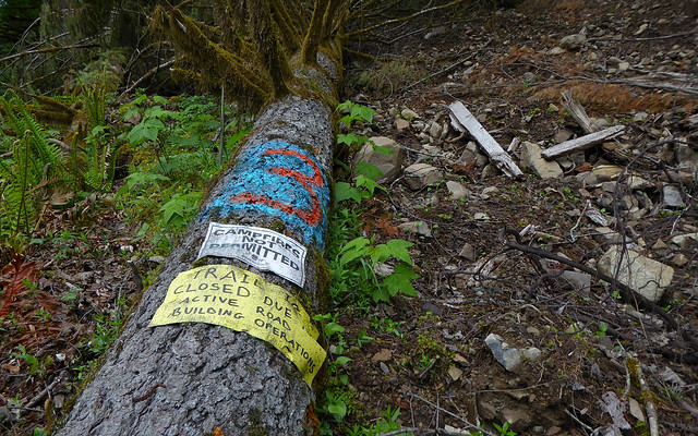
New road interrupts trail
Posted: February 11th, 2018, 7:38 am
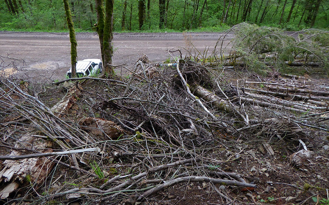
We hiked to Three Corner Rock from the PCT and continued down the Stebbins Creek Trail (one-way, car shuttle). When we were a few switchbacks from W-2000 road and Three Corner Rock TH the trail abruptly ended at a ~15 foot drop down to a new road. It appeared too steep, so we bushwhacked up a bit, seeing what looked like a drainage on our GPS. Not much of a drainage, but there was a place we could slide down the hill to the road.
Other trip conditions:
The Three Corner Rock TH was filled with construction vehicles, although there was another parking area just up the road.
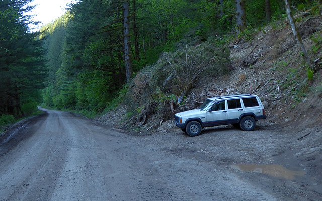
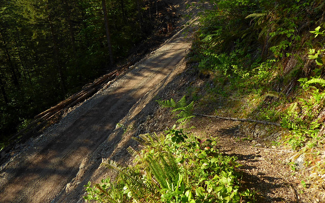
Roads in good condition. We drove up W-2000 and CG-2090 to the PCT.
The PCT is snow covered at about 2800 ft and up to the Three Corner Rock plateau. Hard pack and sloped, we used Yax and spikes and very glad we had them. Snow also on the way down Three Corner via Stebbins, but not for long.
Fairly easy to cross Stebbins Creek on rocks.
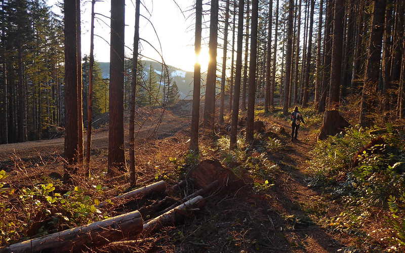
The trail does pass through a short section of a clear-cut.
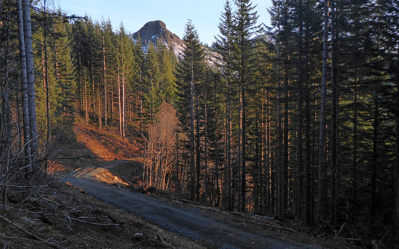
Nice views from the top, although some haze and clouds.
Other trip conditions:
The Three Corner Rock TH was filled with construction vehicles, although there was another parking area just up the road.
Roads in good condition. We drove up W-2000 and CG-2090 to the PCT.
The PCT is snow covered at about 2800 ft and up to the Three Corner Rock plateau. Hard pack and sloped, we used Yax and spikes and very glad we had them. Snow also on the way down Three Corner via Stebbins, but not for long.
Fairly easy to cross Stebbins Creek on rocks.
The trail does pass through a short section of a clear-cut.
Nice views from the top, although some haze and clouds.