We started off in the wrong spot, paying more attention to the topo map (which is wrong) than to the directions. The map shows the trail starting at the end of Road 140, but you can't even get to the end of that road anymore as it is blocked by a berm a short ways past the junction with 146.
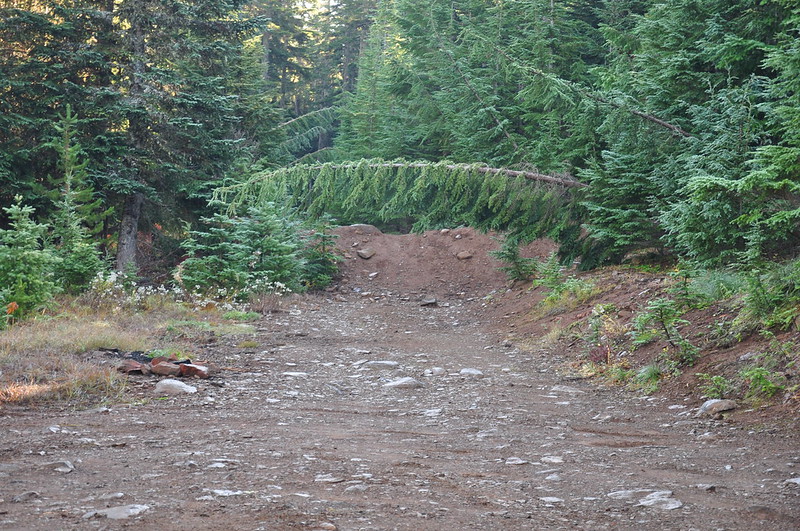
Near the berm we saw this jeep track heading into the woods and we thought it might be a shortcut over to the Rimrock Trail. It wasn't.
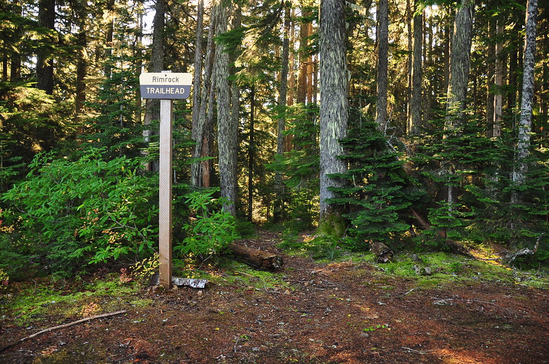
The jeep track petered out almost immediately and we poked around in the woods looking for the trail. But we were using the Gaia app on my phone for navigation and the topo map doesn't show the actual trail, so we didn't know how close or how far we were. And we didn't how well-maintained the trail was. If there was a lot of blowdown we could easily miss it. So we turned around, went back to the car, and drove to the proper trailhead on Road 146. Now we're talking.
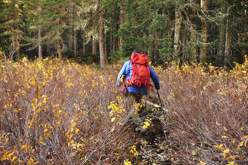
The trail skirted a marshy lake that is not really visible through all the shrubs and trees. There was a lot of standing water on the trail here.
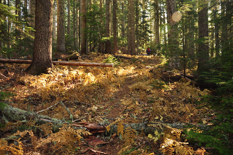
After a short jaunt through the forest...
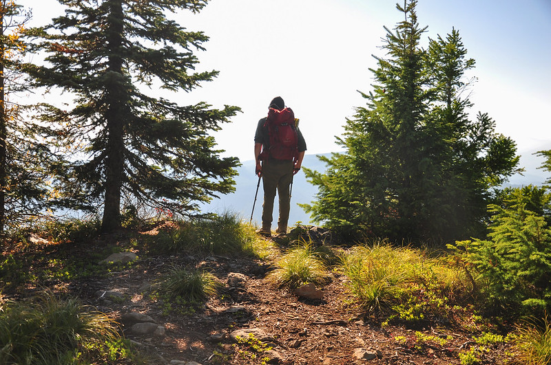
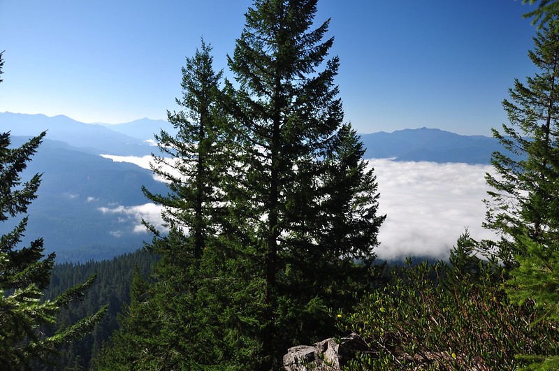
...a side trail took us to a viewpoint looking south over the Clackamas River. So cool to be above the clouds thanks to the inversion that day. We had driven through those clouds on our way here, unsure whether we'd be above them or not.
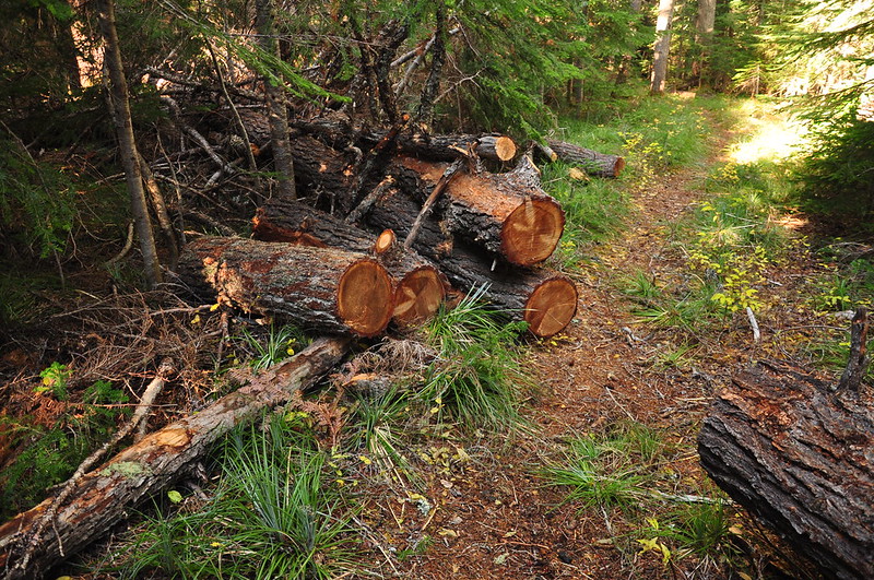
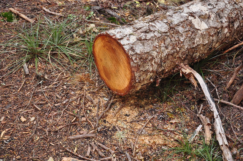
We were very pleased to find the trail in excellent shape. There were a few blowdown, but it actually looks like someone came through here not that long ago and cleaned things up. Some of the sawdust piles didn't look very old at all.
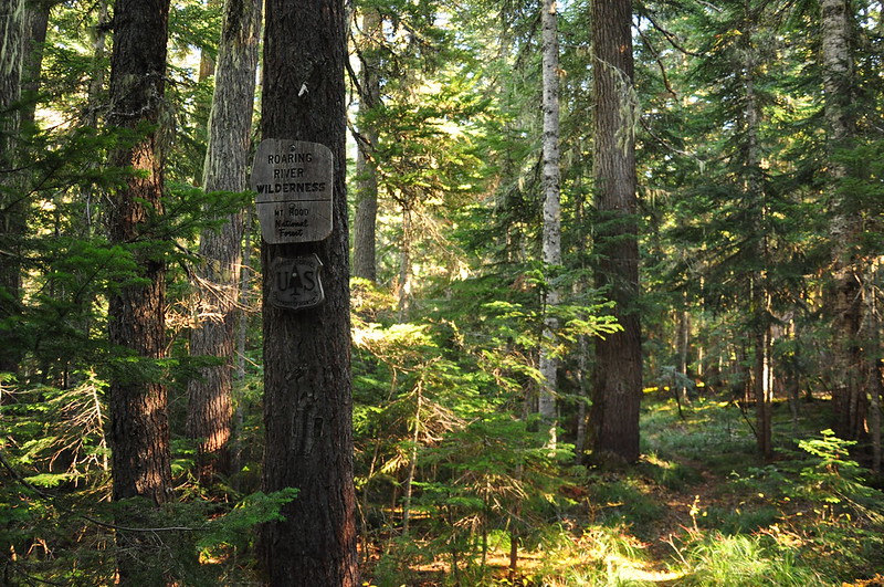
We crossed into the Roaring River Wilderness (also not on the topo map):
We came to the spot where Road 140 and the trail meet up. Here's the road.
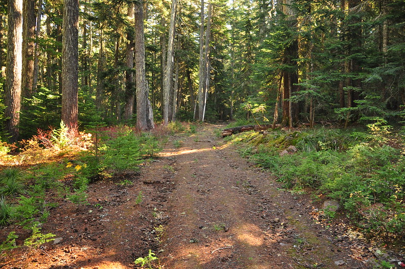
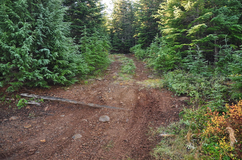
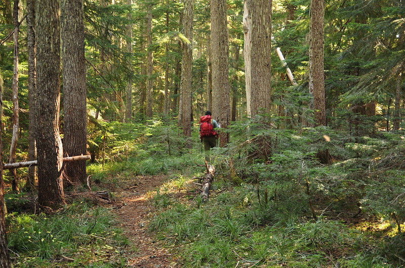
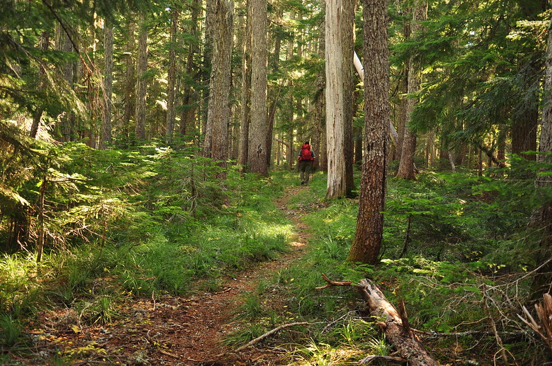
On we hiked through the forest:
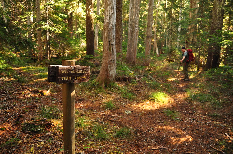
Until we reached a junction, which is also not on the map. The left fork goes down to Cottonwood Meadows, but we took the right fork to the Mt. Mitchell Viewpoint:
Along the trail to the viewpoint we saw some old phone line, the kind that used to connect lookouts and guard stations. As far as I can tell there were neither of those around here back in the day so I'm not sure where this line would have led:
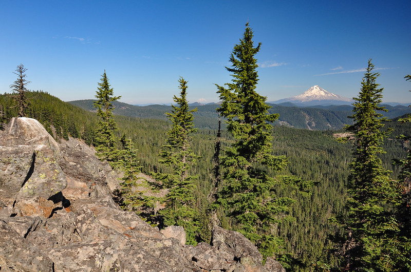
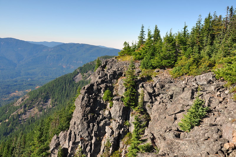
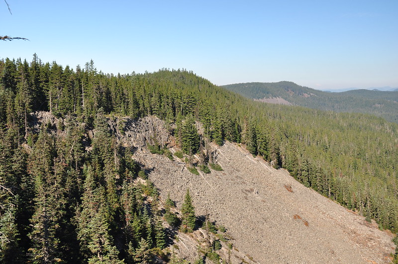
The trail ends at a rocky viewpoint with spectacular views:
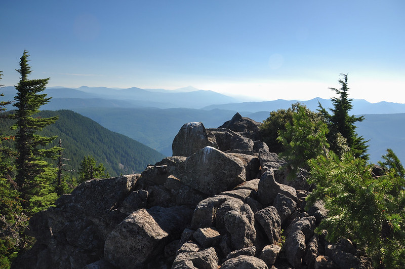
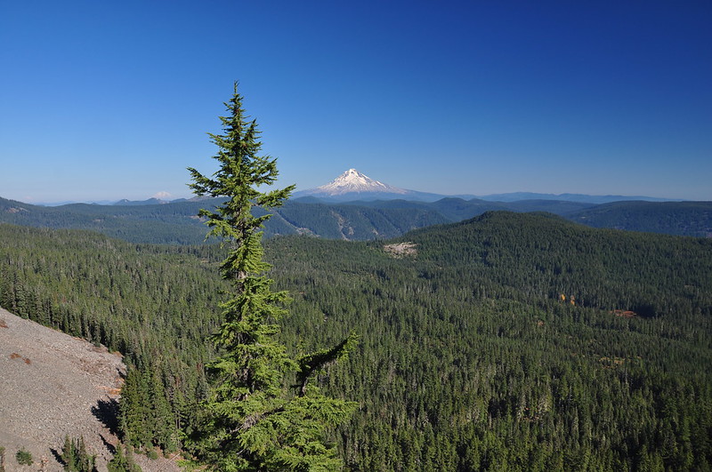
Mt. Hood was very visible. We could see Mt. Adams and (just barely) Mt. Rainier:
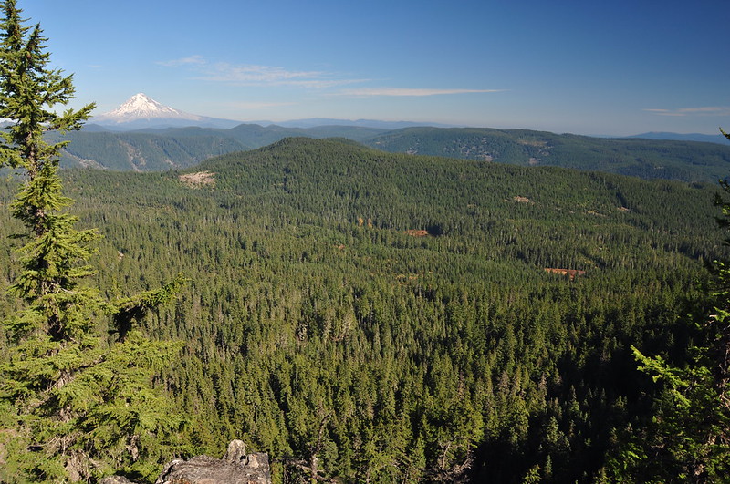
Looking down on Cottonwood Meadows. If I'm not mistaken, Hideaway Lake is out of sight on the other side of the ridge:
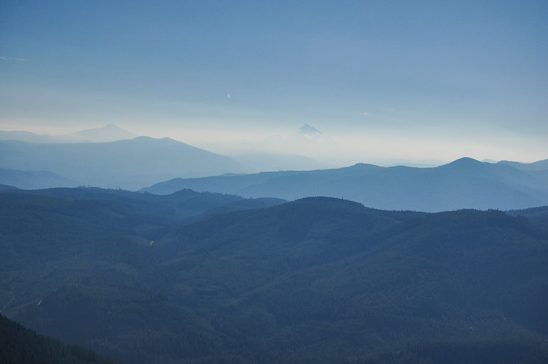
Mt. Jefferson was kind of visible. There was some kind of haze or fog and the sun is low in the sky this time of year, so it was hard to make out:
It was VERY windy on the north side of the viewpoint so we hung out on the south side. Protected from the wind the sunshine was surprisingly warm, especially considering we were hanging out at 5,000' in late October!
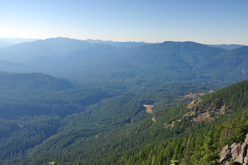
East Mountain and Fish Creek Mountain with the Clackamas River far below. The clouds down there had burned off:
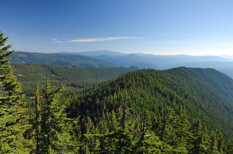
Looking southeast:
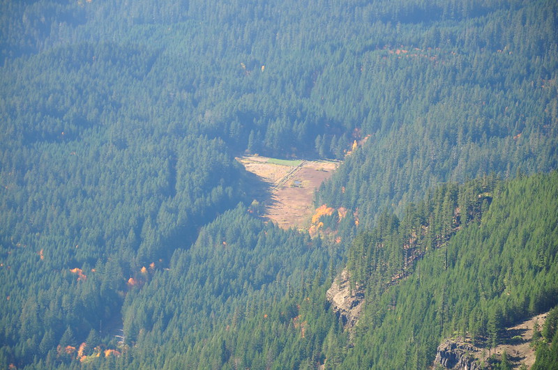
Looking down on the site of the old Oak Grove Work Center, now abandoned:
Curiously the viewpoint is not on Mt. Mitchell itself (seen at center in the photo below) but south a bit. It looks like it might be too forested for views. Anyone ever been up there?
After enjoying the sunshine for a long time, we finally headed back. We didn't see another soul on the trail all day.
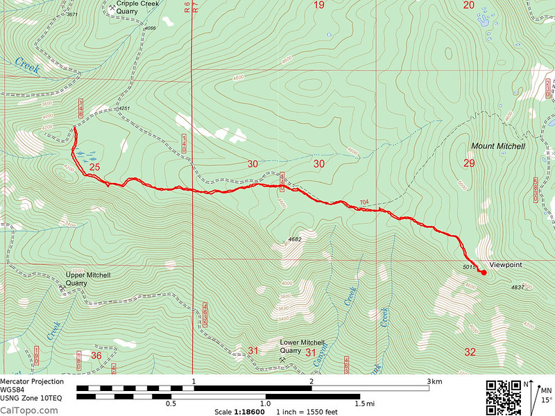
Here is our track. Interestingly the 2003 Mt. Hood National Forest Map also shows in the incorrect placement of the trail, while the 2009 National Geographic Trails Illustrated Maps shows it correctly. The Forest Service doesn't seem to know where it's own trails are!
Video:
