Maxwell Butte 10/30/2017
Posted: November 2nd, 2017, 4:22 pm
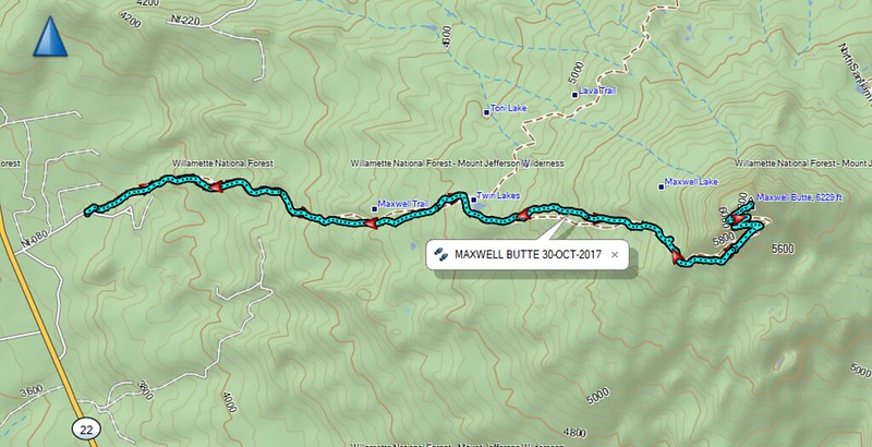
We picked a wonderful fall day to make a trip up to Maxwell Butte. It was a great day for views. There was very little snow on the trail. However, there are about 2 miles that have a lot of blowdowns. It's a bit of an obstacle course - over, under, or around the dead Lodgepole Pine logs. The first mile, before the wilderness boundary, is no problem because this is part of the ski trail network in the area. Then, after you gain enough elevation past Twin Lake, the trees finally thin out, get smaller, and there are fewer blowdowns to contend with.
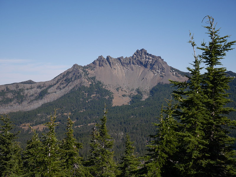
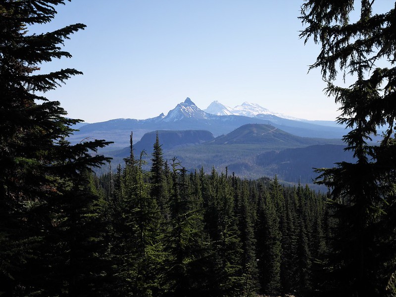
From the top, there's a up close view of Three Finger Jack.
Then, Jefferson and Hood to the North.
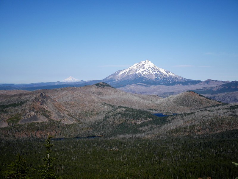
And, Washington and Sisters to the South. Cool view of Hoodoo as well.
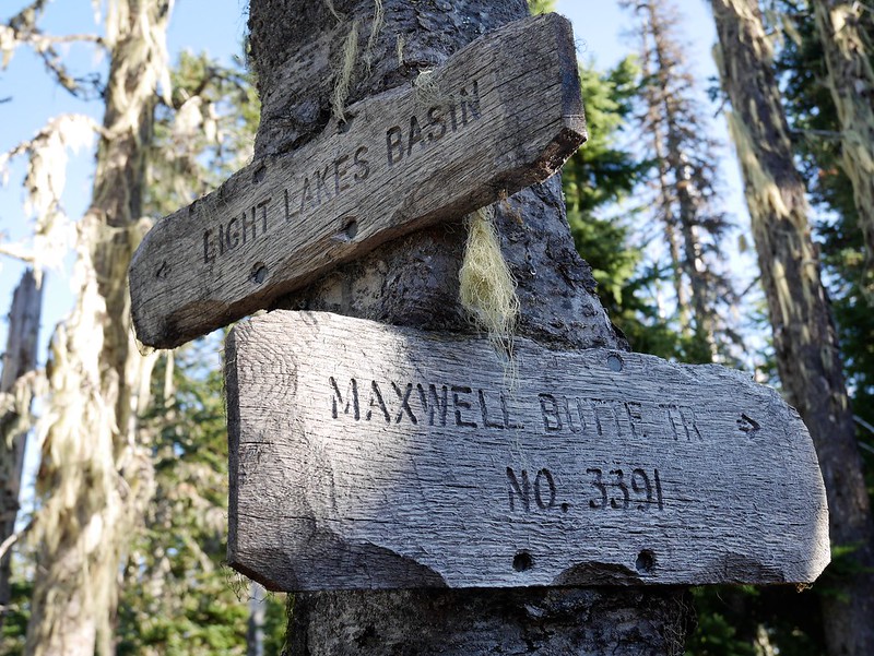
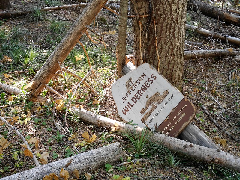
Classic older wilderness sign, but looking a little sad on the ground.
Roundtrip is 9.5 miles and about 2,400 feet elevation gain.