Some photos I took from Dog Mtn today (2017-09-16) looking across to Mt Defiance, Lindsey Creek and Shellrock Mtn.
I posted this to the Eagle Creek Fire thread but it is a trip report so I'll repost here. After I was done with Dog I took the toll bridge across the CR (free today due to a huge amount of slow moving traffic on SR-14) to Hood River and returned westbound on I-84 - no lollygagging on I-84, you drive, no stop. Eastbound lanes showed damage in spots. Burn your eyes smoky around Cascade Locks and Yeon Mtn.
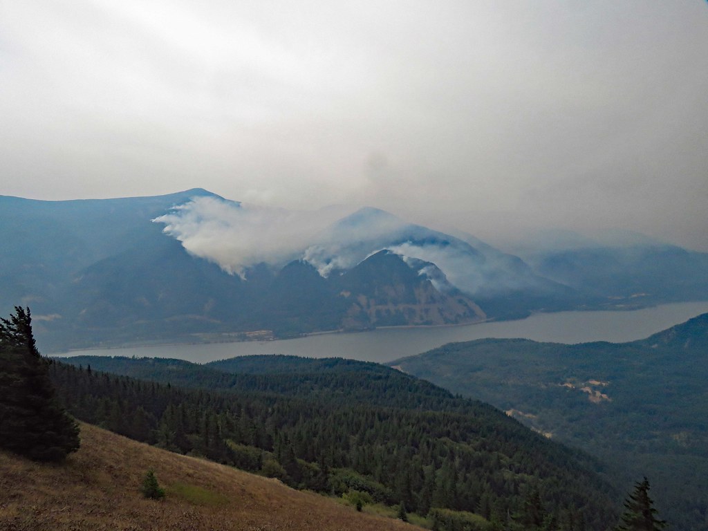
IMG_7241 by pauljess999, on Flickr
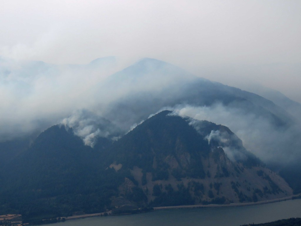
IMG_7232 by pauljess999, on Flickr
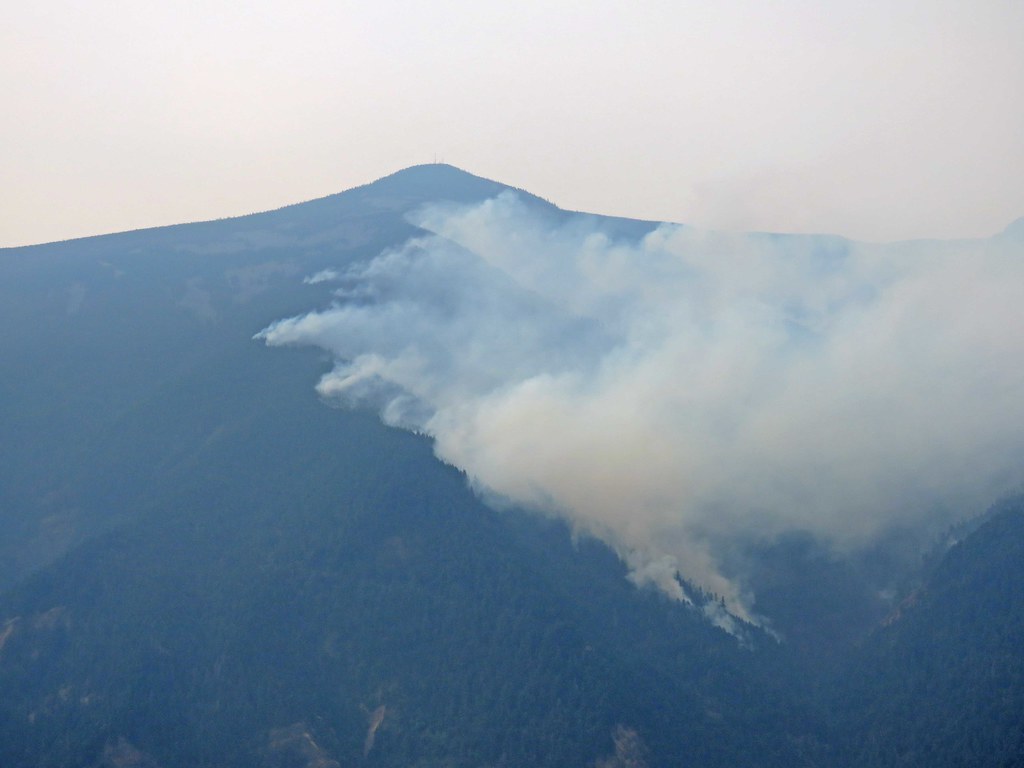
IMG_7253 by pauljess999, on Flickr
A blowup on Defiance around the trail there appeared on the way back.
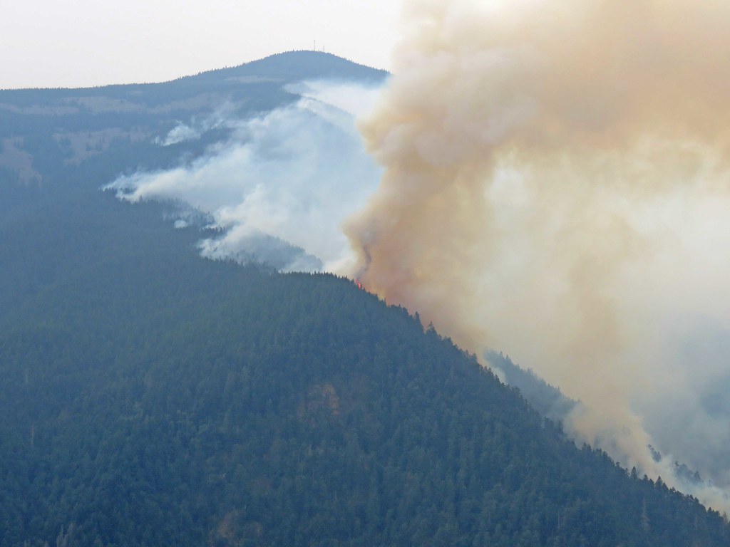
IMG_7338 by pauljess999, on Flickr
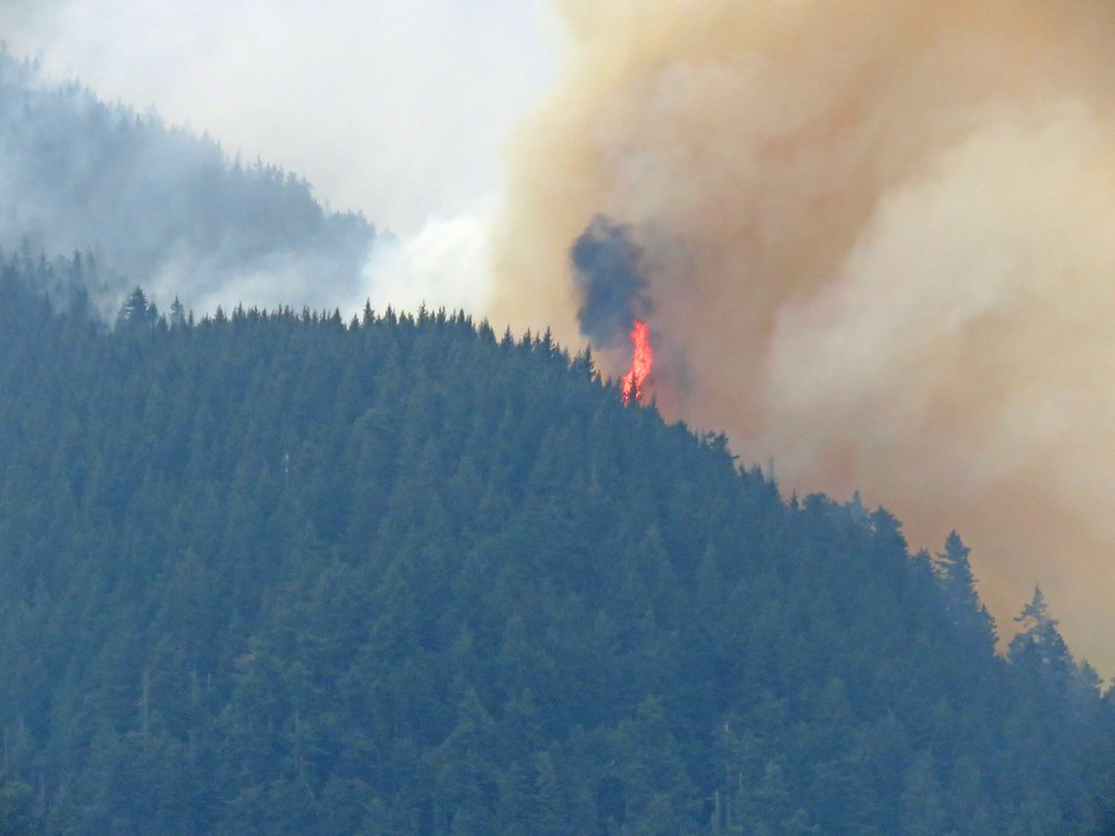
IMG_7344 by pauljess999, on Flickr
--Paul
Mt Defiance, Lindsey Creek, Shellrock Mtn from Dog. Sept. 16
The future's uncertain and the end is always near.
Re: Mt Defiance, Lindsey Creek, Shellrock Mtn from Dog. Sept
Thanks for the Photos Paul, depressing as they are. We drove up the Washington side to Hood River last night then back on I 84. Smoke was so bad East of Bridge of the Gods it was impossible to see anything, you simple couldn't see Oregon across the river. When you drive the length of it, it brings it home to you in a way that simply looking at maps cant
Re: Mt Defiance, Lindsey Creek, Shellrock Mtn from Dog. Sept
The pictures make me want to go look. Guy's comment makes me wait.
Re: Mt Defiance, Lindsey Creek, Shellrock Mtn from Dog. Sept
Thanks for the update and great (although not happy) photos. I don't know what the fire did in the last day or two, but your pictures probably show the end of it, thank God.