
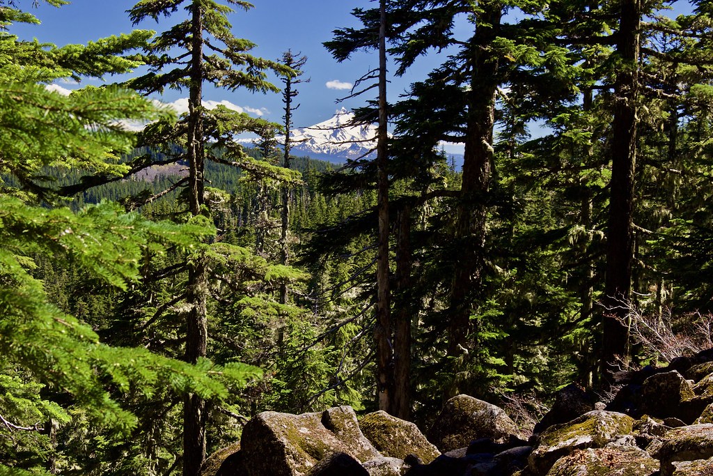
Opening Photo:
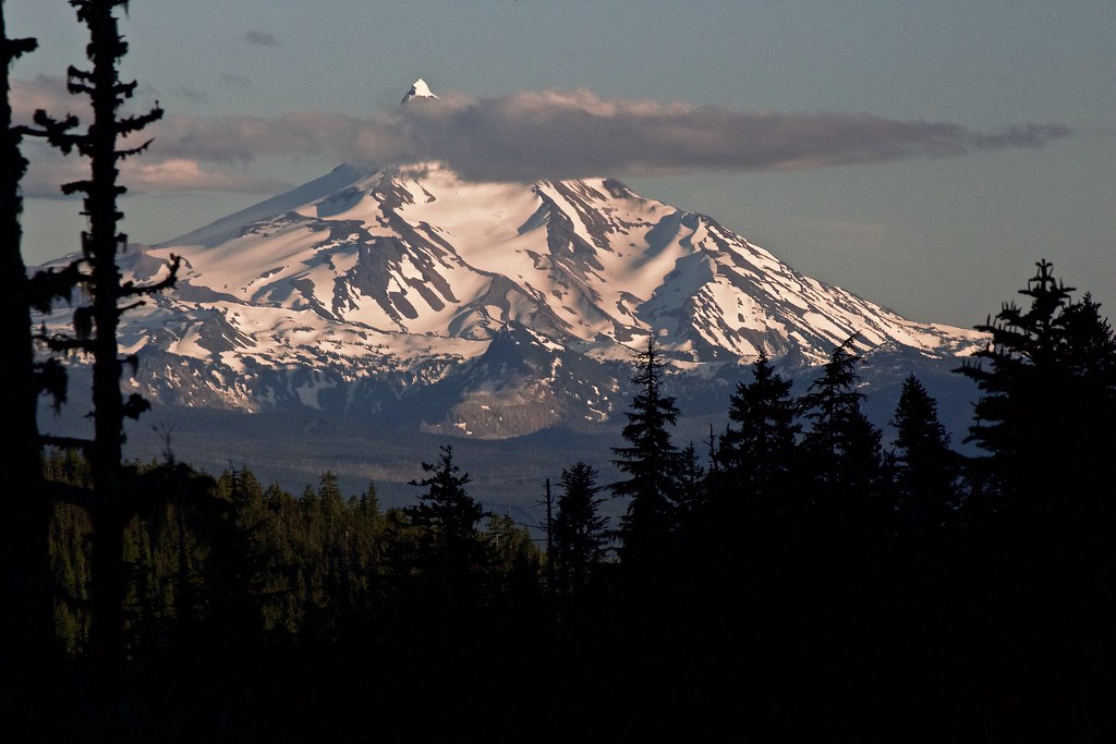
Mount Jefferson from a rocky outcropping near Frazier Turnaround
Over this last week, we backpacked up the Shellrock Lake Trail from Hideaway Lake to the (abandoned) Frazier Turnaround campground. We wanted to head up into the higher elevations, but we came expecting significant snow and blowdowns. It was a beautiful and fun hike.
Brief Report:
-Snow and blowdowns between Hideaway Lake and the Shellrock Lake Trailhead. (3ft. deep.) May be melted out by now(?).
-No snow and no blowdowns all the way up to Shellrock Lake (very crowded).
-Tons of major blowdowns and deep snow most of the way up to the Grouse Point Trail. (up to 4 feet deep on average, sometimes 5 ft. in drifts.) Trail 100% covered about halfway up from Shellrock Lake to the turnaround, and impossible to routefind without GPS and/or map and compass.
-Little snow along the Grouse Pt. Trail (approx. 3 ft.), and little snow at the Frazier Turnaround. (4 ft. deep drifts along the Frazier Mountain approach road, but thins out to almost nothing a short distance from the Frazier Fork CG.)
-Similar snowdrifts on the north side on the way to Serene Lake from Frazier Fork, it seemed. We didn't head down there.
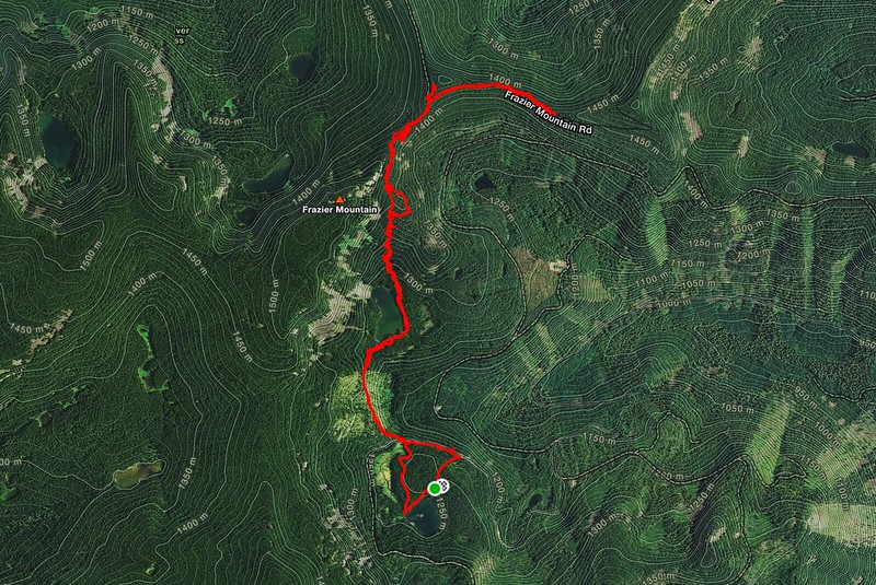
Our Route
Full Trip Report:
We started from the Hideaway Lake Campground and began hiking on the (unsigned) Hideaway Loop Trail and Shellrock Lake Trail #700 to meet up with the Shellrock Lake Trailhead on FR 5830.
(Note, the campground trailhead doesn't seem to have any trailhead parking, but you might be able to find an out-of-the-way spot on the side of the road in the early season. It is much easier and better to just park at the Shellrock Lake Trailhead, however.)
I've been doing most of my hikes in southern Washington and central Oregon, so this area of the Mount Hood National Forest is all new to me. It also happens to be one of the closest wilderness areas to home.
The trail began by skirting the north shore of Hideaway Lake. Much of it was in the forest, with a few spots accessing the river.
Hideaway Lake from the lakeside loop trail.
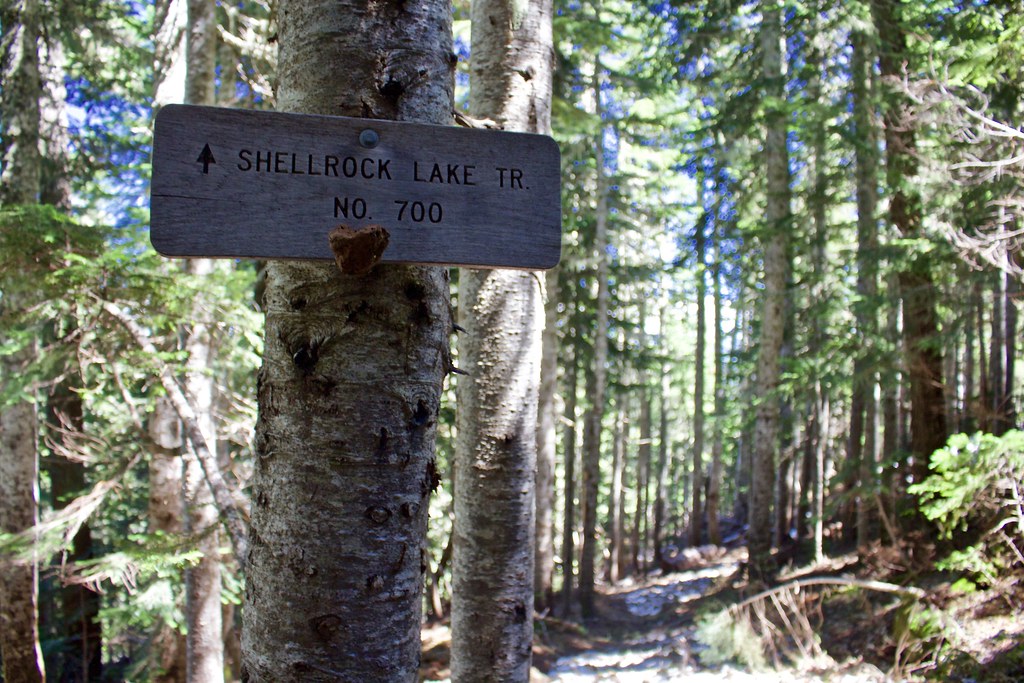
The trail goes all the way around the lake, but we turned right at this junction onto the Shellrock Lake Trail #700.
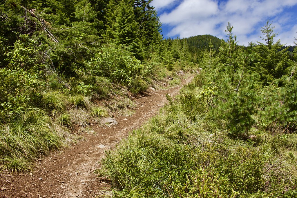
So far, no snow. A few small sticks and branches on the trail, but nothing much.
Once we turned onto the Shellrock Lake Trail, the snow started to show up. It consisted of 2ft drifts, but the most difficult part was the numerous and large blowdowns (I didn't get a photo of the snowiest section, however.).
Some blowdowns required significant detours. It is difficult to locate the trail in some parts.
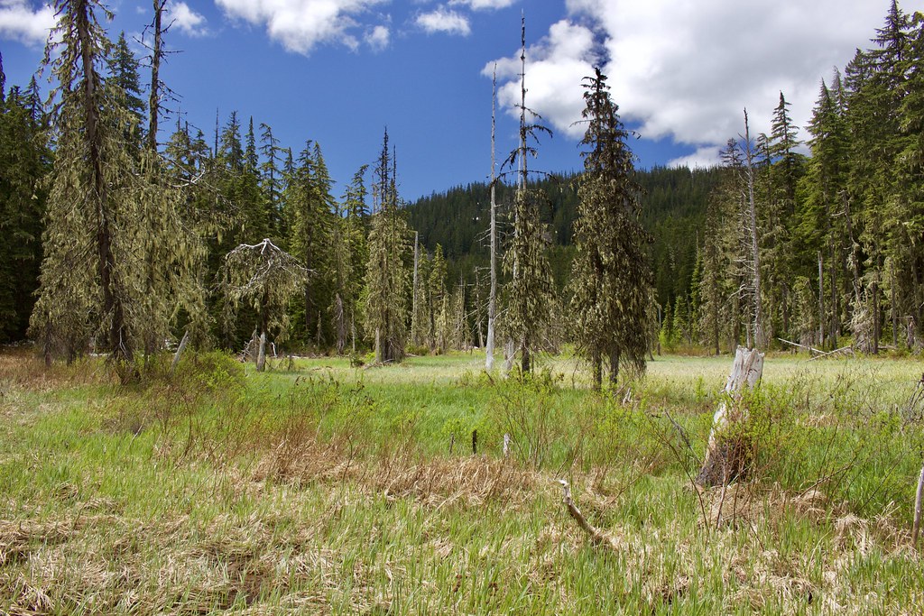
The trail skirted a large meadow and wetland. It is the outlet for Hideaway Lake, draining into Shellrock Creek.
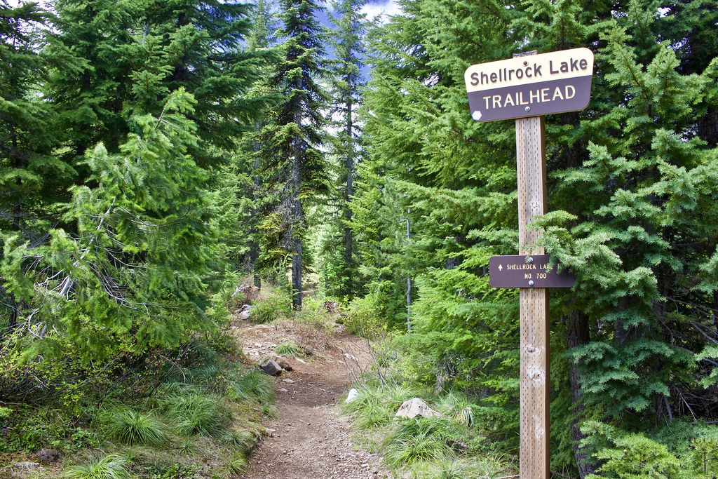
After a short 0.7 miles, we reached the official Shellrock Lake Trailhead.
In less than 0.2 miles, we reached the more open portion of the old clearcut.
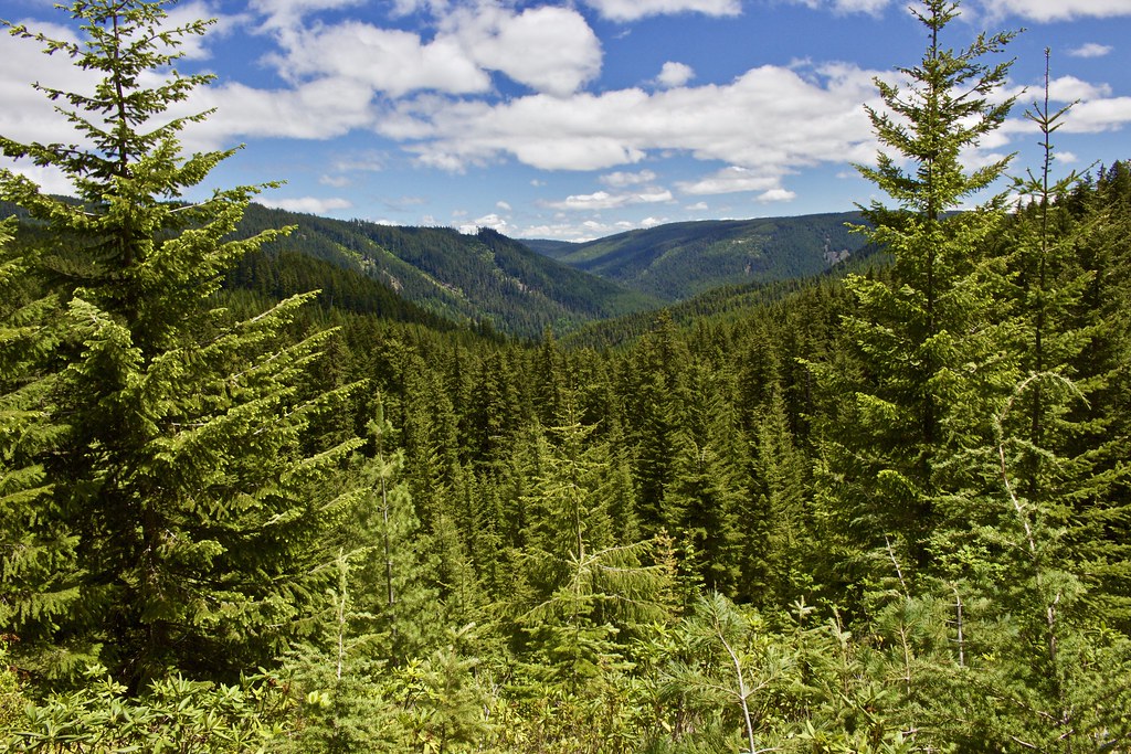
It afforded some nice views across the Shellrock Creek valley.
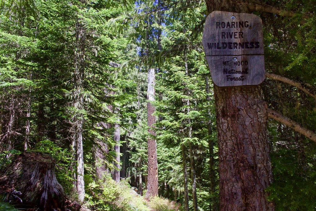
In about 1.2 miles from the start at Hideaway Lake, we entered the newly created Roaring River Wilderness, designated in 2009.
Question: In a photo like this with a very high sign, is it better to keep everything in focus or pull the background out of focus (adding bokeh), like this?
Nearing Shellrock Lake, the trail is in very good condition with no sign of snow or blowdowns. As for mosquitos, I never noticed them along this section up to the lake. They are prominent around Hideaway Lake, however.
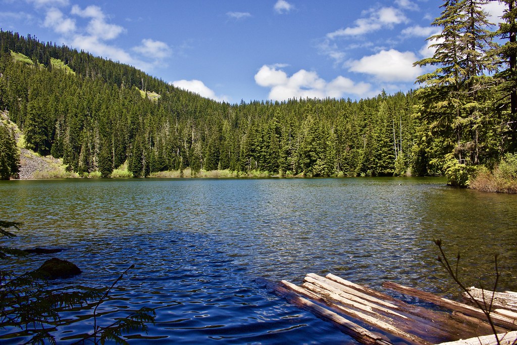
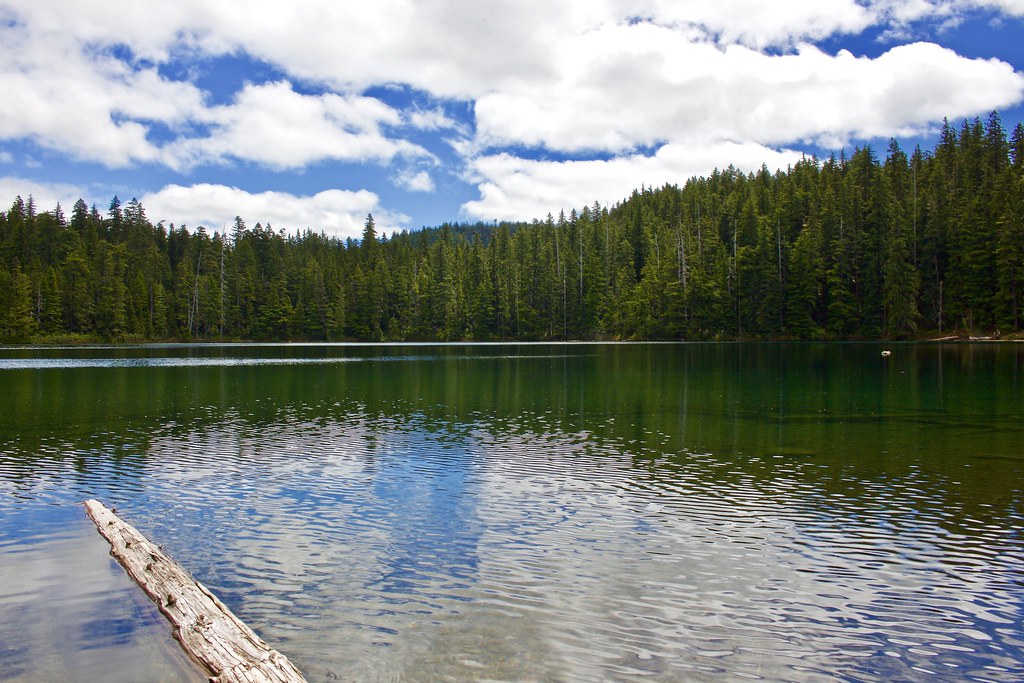
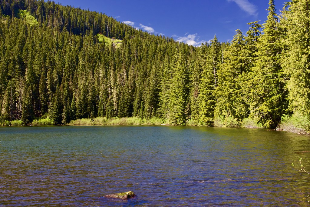
At 1.4 miles from Hideaway Lake (or 0.7 mi. from Shellrock TH), we reached Shellrock Lake. It is snow free.
Shellrock Lake view after a ways hiking along the east shore.
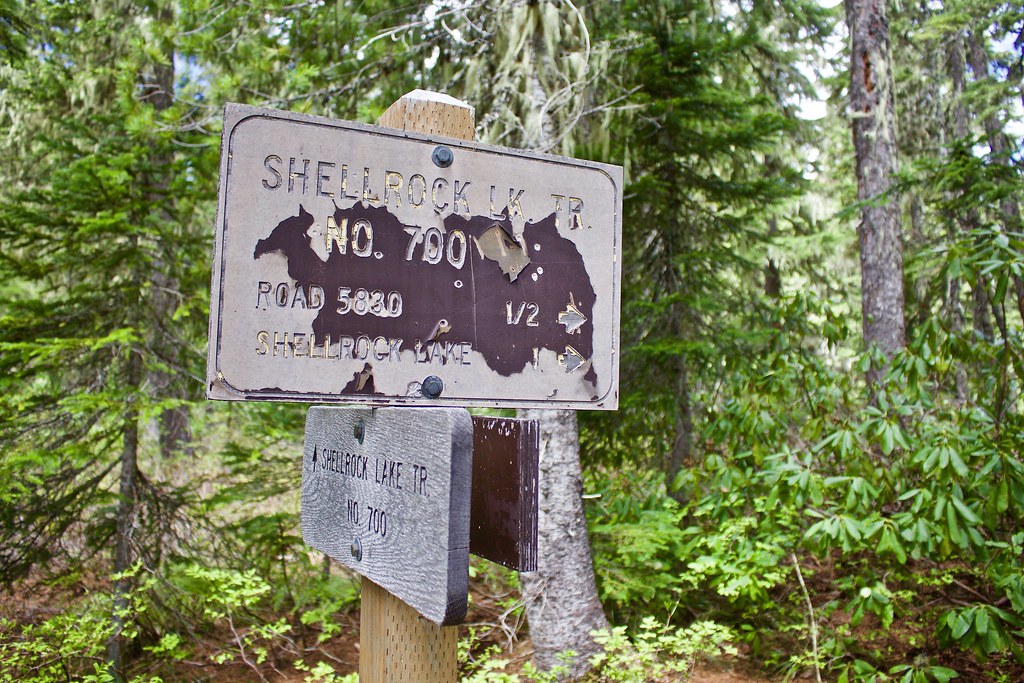
Here is a very minor blowdown, shortly after we passed the junction with the west lakeshore trail. (Junction signed as "Frazier Turnaround -->").
The Shellrock Trail continues all the way up to the Grouse Point Trail (and then to Frazier Turnaround).
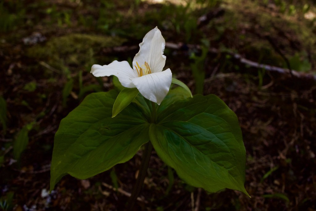
Trilliums starting to bloom along the trail; many more to come!
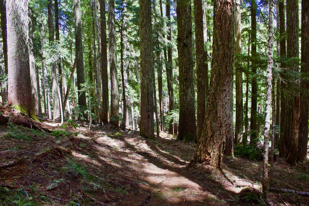
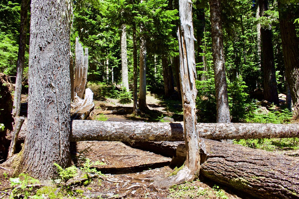
The first obstacles we encountered after the lake were blowdowns, some very severe. Much of the trail here is a rocky creekbed, with snowmelt running down its course.
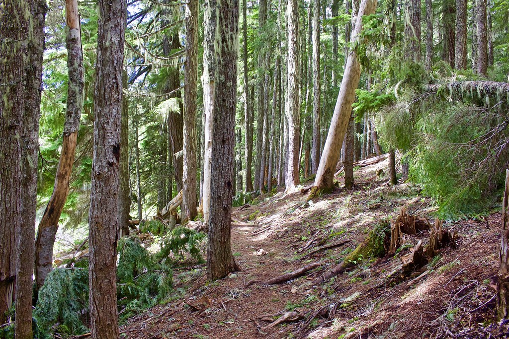
It is a beautiful trail among lush montane forest, with some nice old growth to spice it up.
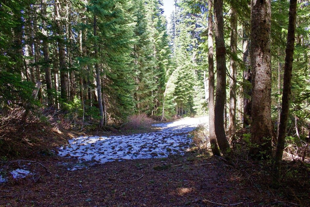
At this point, snow was a partial coverage, averaging around 1-2 feet.
The worst blowdown; the tree fell parallel over the trail.
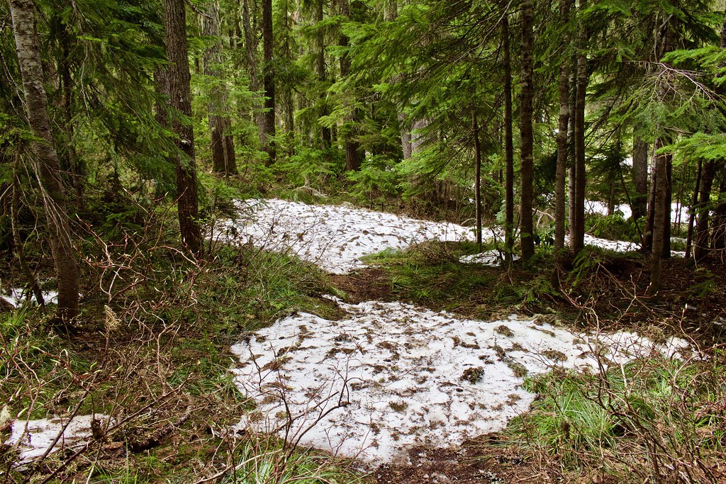
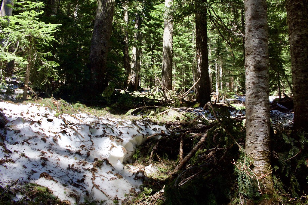
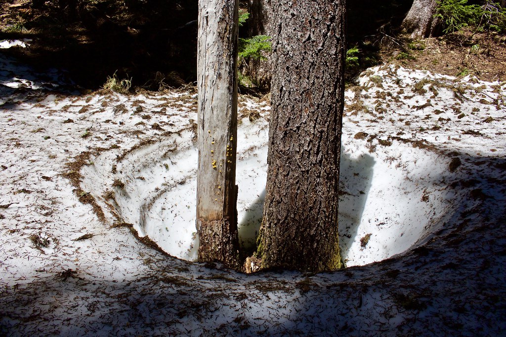
Eventually the snow covers over the blowdowns.
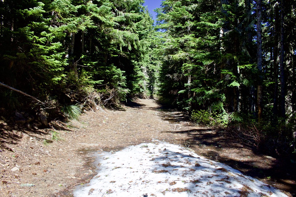
The snow quickly deepened and covered the entire trail. From this point on, the trail is indiscernible and covered in continuous snow of around 3-5 feet.
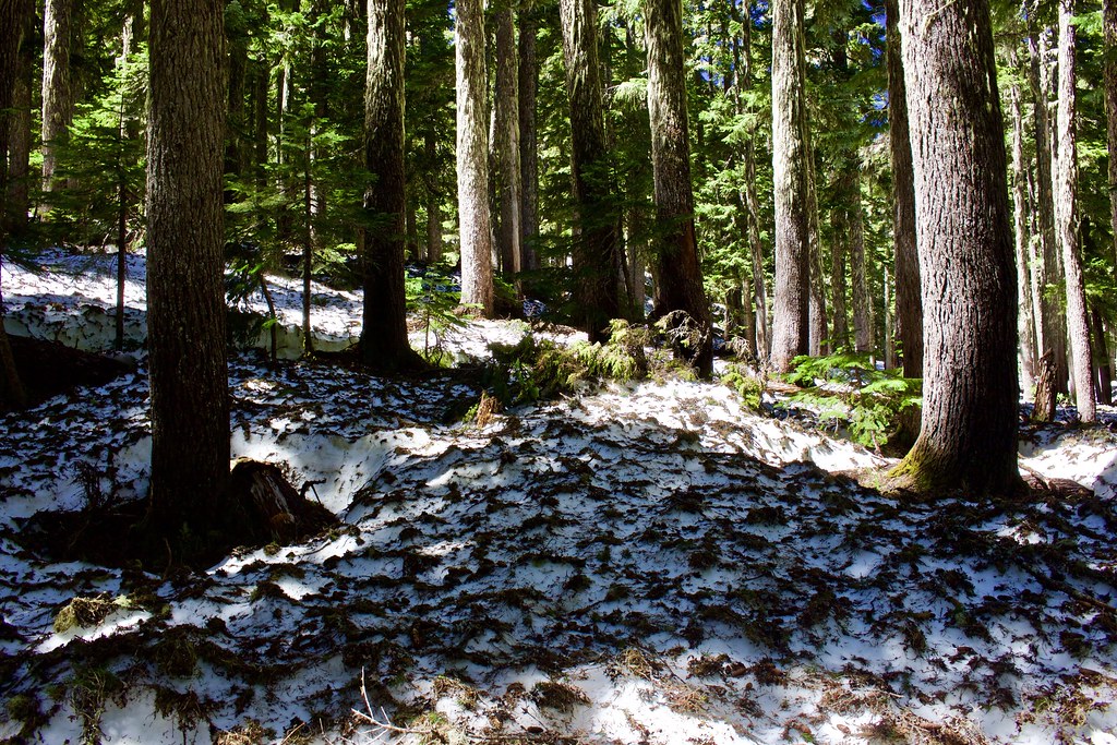
Deep snow.
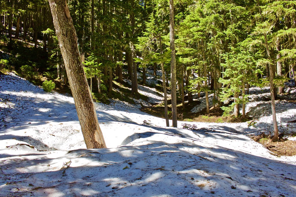
More deep snow!
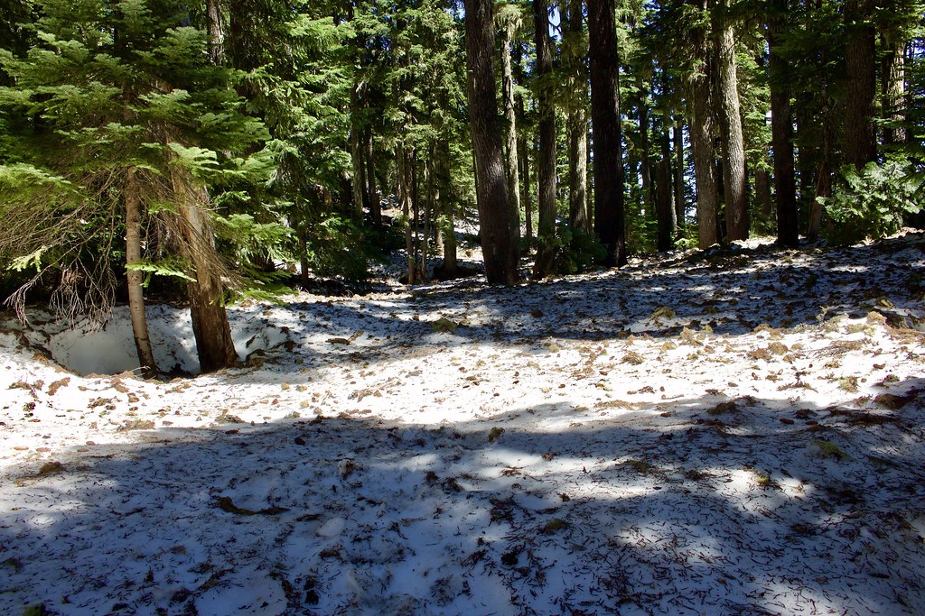
At 2.7 miles from the start, we reached the Grouse Point Trail junction.
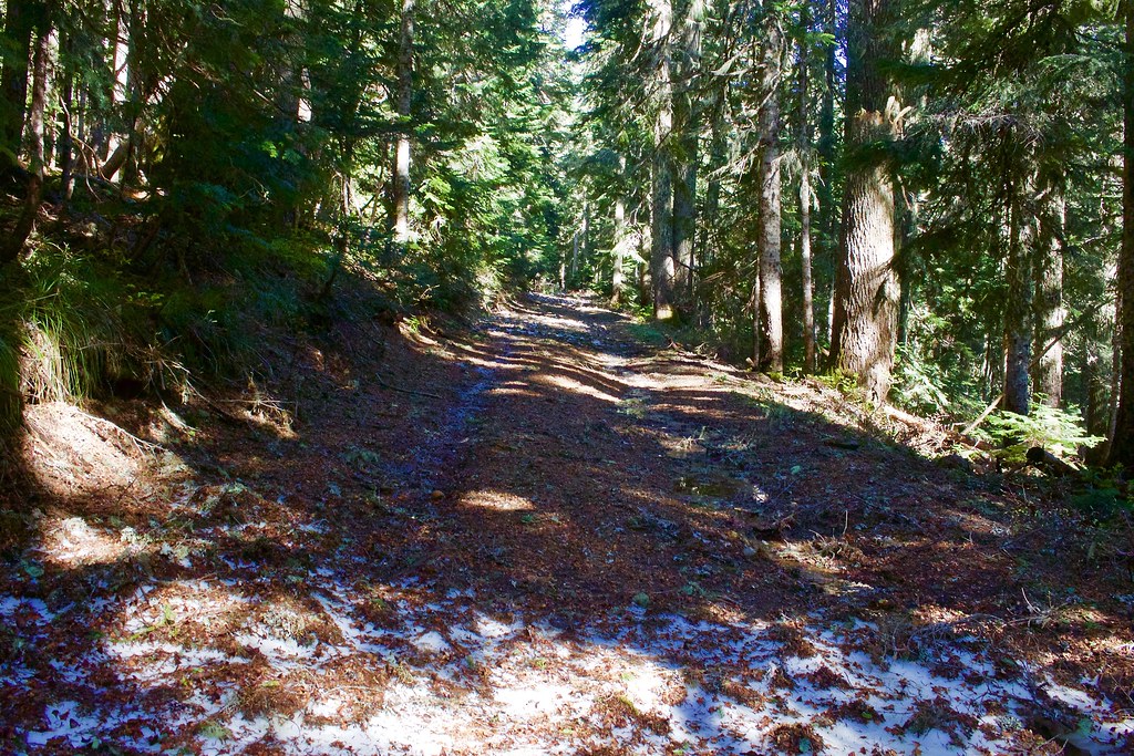
The Grouse Point Trail from Frazier Mountain all the way to the turnaround is a long abandoned section of the Frazier Mountain Road. There is partial snow covering this trail, around 1-3 feet deep and melting fast. Lots of ground exposed.
As we neared the Frazier Turnaround, there is a small view of Mount Jefferson through the trees.
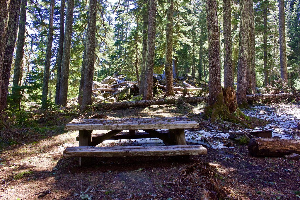
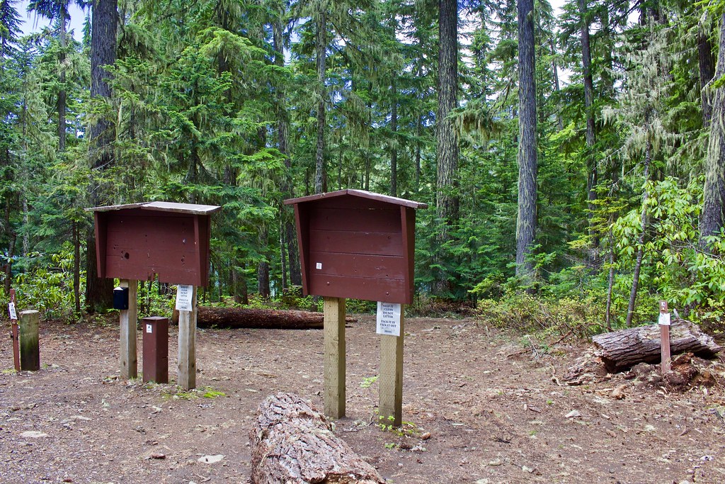
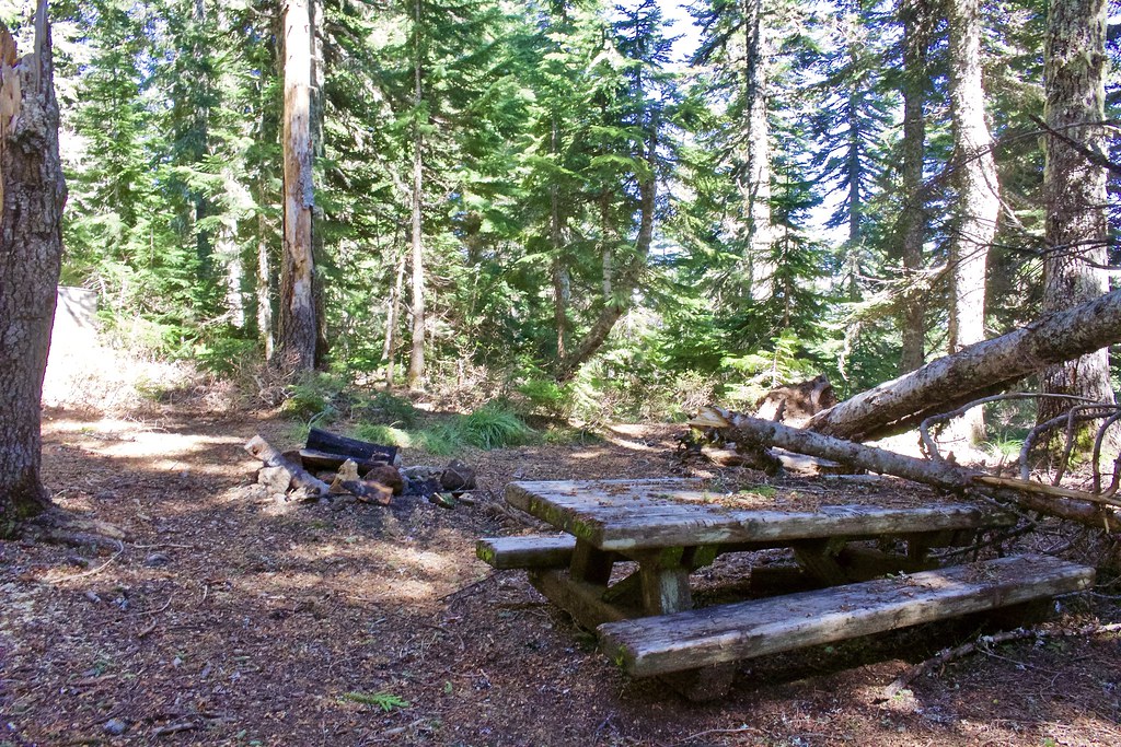
We stayed at one of the campsites/picnic areas at the old abandoned campground here. It is mostly clear of snow.
The start of the Serene Lake Trail. It is snow-covered about a hundred feet down the trail.
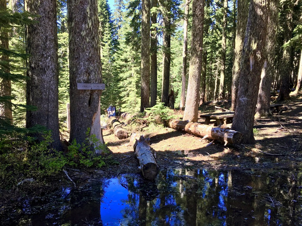
With packs, we continued down to the old Frazier Fork campground, which appears to be even less used. It is much more snowed in here.
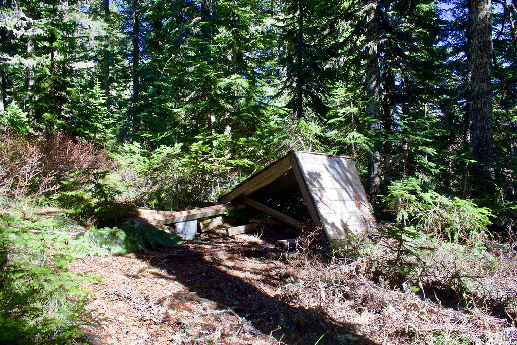
The old abandoned outhouse. The other one is still standing.
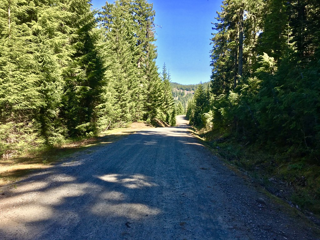
We took a short walk down the Frazier Mountain Road to see what the conditions were like. It starts out under deep snow, then thins out to bare dirt and creeklets. The snow near the Frazier Fork is around 4 feet deep on the road, but we saw motorcycle tracks not far down where the snow disappears (which suggests it is somewhat accessible from the other end?).
The snow on the road melted out fully after about 0.2 miles east of the Frazier Fork CG. We only walked 0.8 miles down the road from Frazier Fork, so the snow conditions beyond that is questionable.
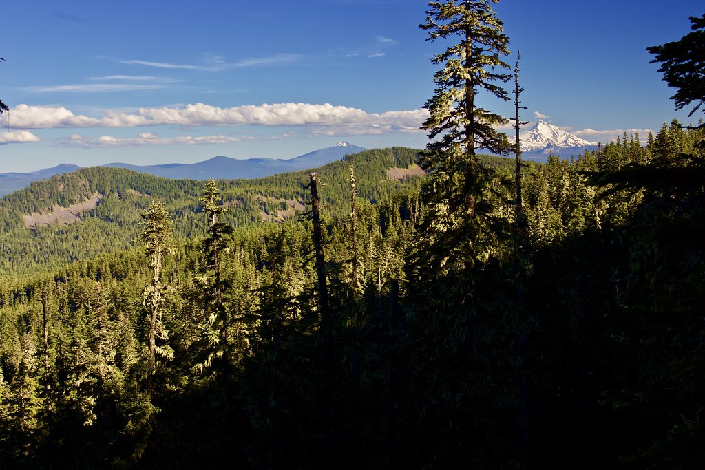
Back at Frazier Turnaround and after a quick dinner, I made my way over to a rock outcropping with a view of Mount Jefferson (right) and Olallie Butte (middle).
(The better view is from the second rock outcropping from Frazier Turnaround, a good distance and out of sight from camp. It is somewhat difficult to climb down to.)
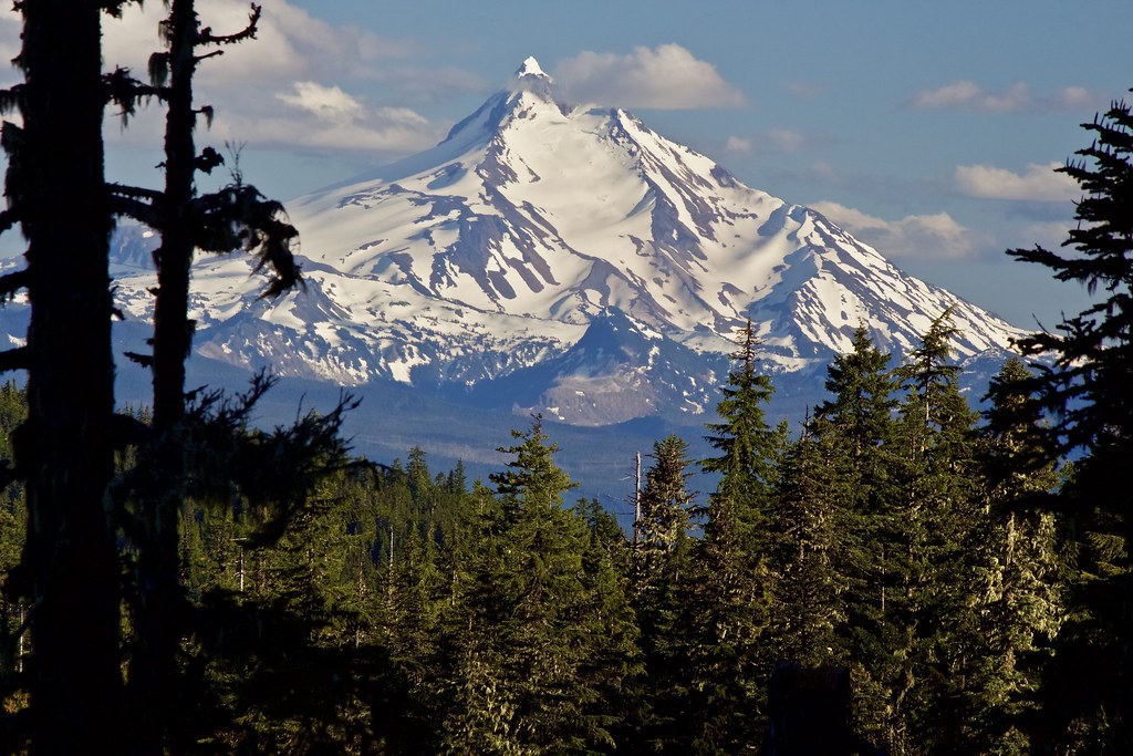
Mount Jefferson closeup, taken with a zoom lens. The view of Mount Jefferson was breathtaking, even from so far away (33 miles). In my opinion, it the most beautiful and photogenic mountain in Oregon (and certainly my favorite in the state).
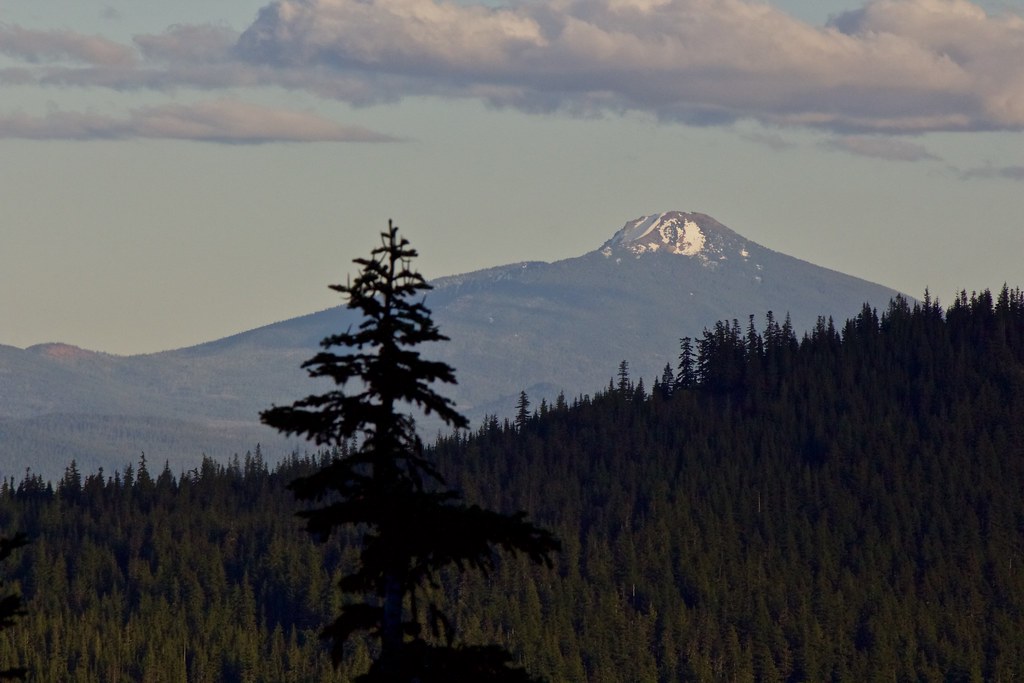
Zoom in on Ollallie Butte, above Olallie Lake (hidden from view). (25 miles away).
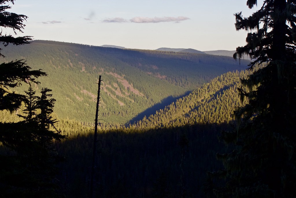
Looking down into the Shellrock Creek valley.
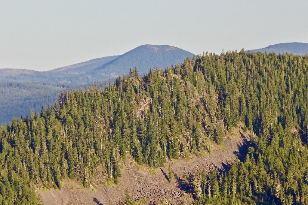
A zoom in on North Pinhead Butte, 17 miles away.
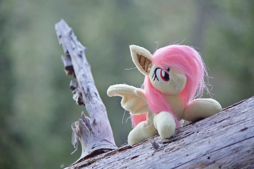
A photo for the "PoniesAroundTheWorld" event, taken from the viewpoint. She is a handmade craftpiece by an artist called LanaCraft. I'll be taking Flutterbat on a PCT section later this summer for more photos.
A beautiful sunset on Mount Jefferson from the outcropping.
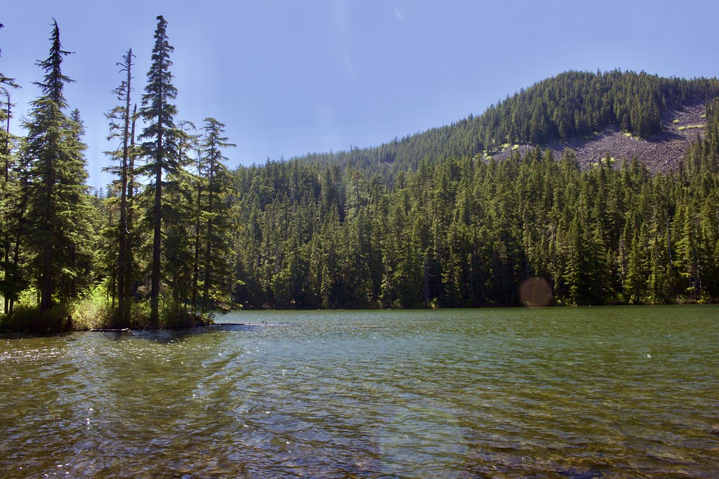
Shellrock Lake on the way back.
We walked along the road on the way back to avoid the blowdowns between the Shellrock Lake Trailhead and Hideaway Lake.
GPSfly Track:
http://gpsfly.org/a/7244


