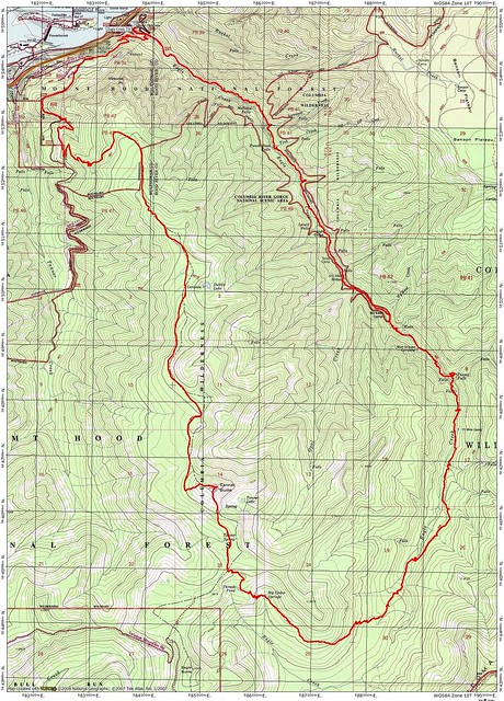
Tanner Butte – Eagle Creek Loop conditions 6-11-17
Posted: June 13th, 2017, 9:27 pm
Loowit Falls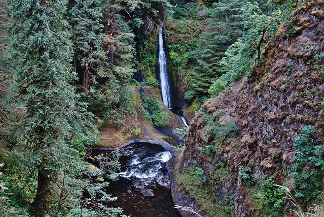
Thought I’d take a little trip up to Tanner Butte to see how much the snow how melted in the last 3 weeks since I was up there last. The snow drifts were easily 4’ deep, then, so I didn’t expect to see it essentially all melted out. What a surprise.
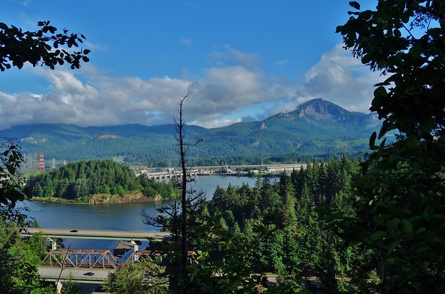
The start gave me high hopes for blue skies, even though the forecast called for clouds.
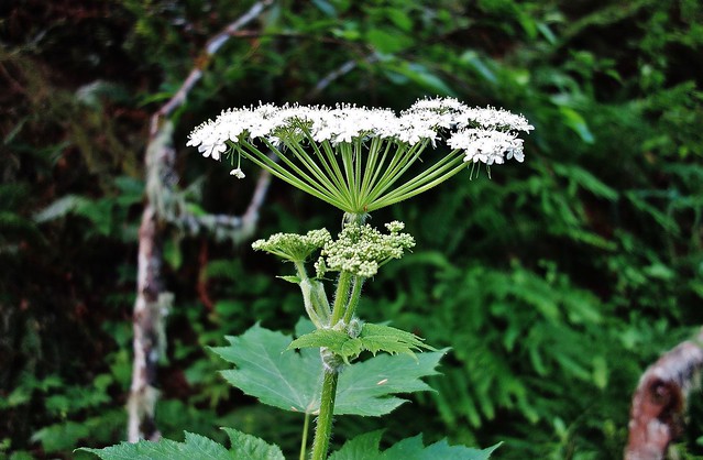
Queen Anne’s Lace
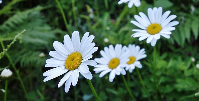
Oxeye Daisy
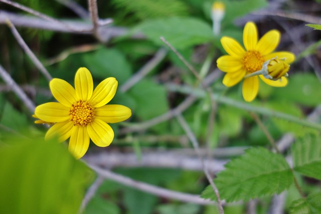
Oregon Sunshine
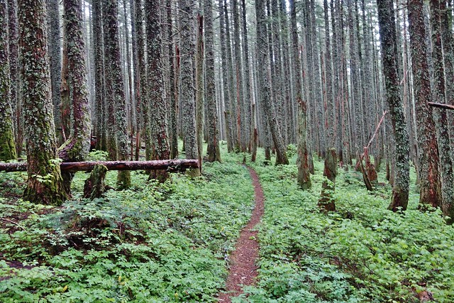
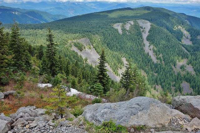
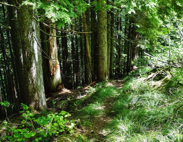
The ridge trail at about 3600’

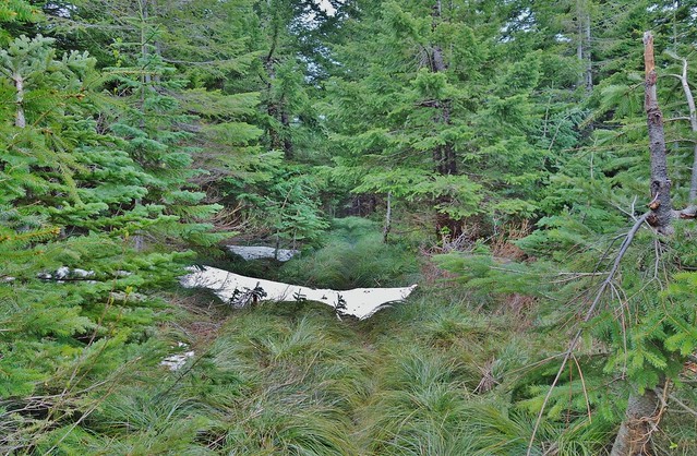
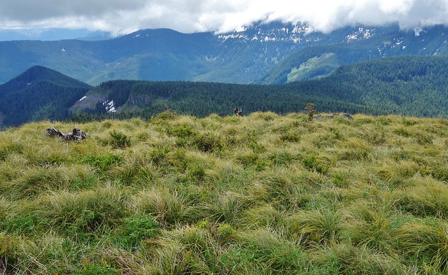
To beargrass alley where this pretty much summed up what’s left in snow.


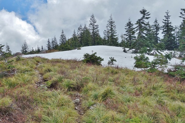
Getting to the summit hardly had enough snow to mention, either.
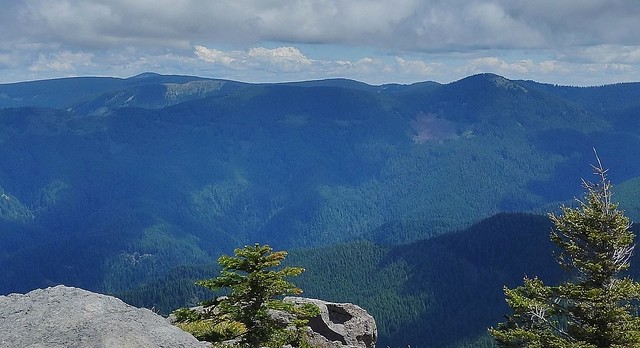
No volcanoes views today, but sure could have been worse.
The high points are Mt. Defiance and Chinidere Mt.
The just passed through beargrass alley sits down below.
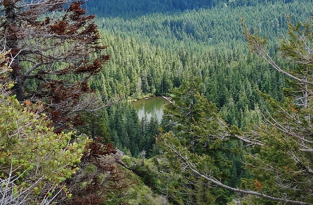
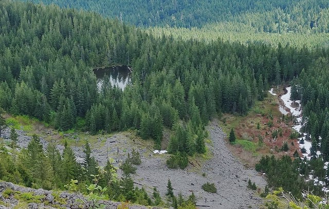
Tanner Lake
Headed down the south ridge that Don Nelsen mentioned some time ago.

Looking back up
Tanner Lake from half way down
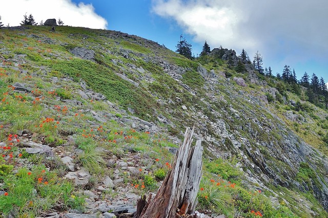
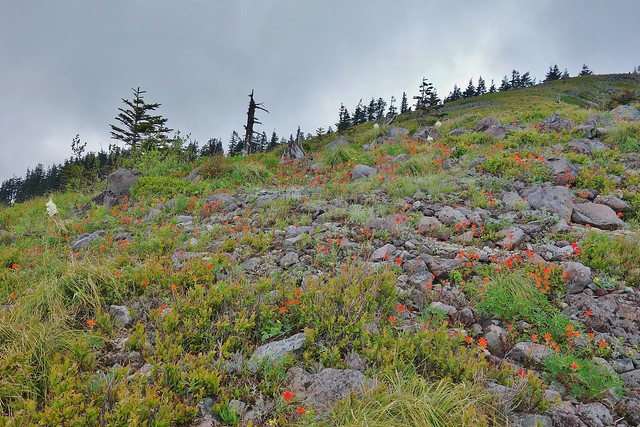
Indian Paintbrush was spread out all over the hillside.
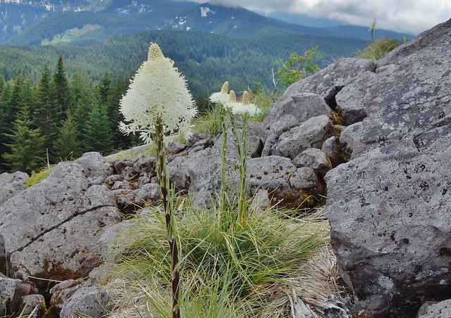
What little beargrass bloom, I saw, was here.
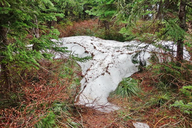
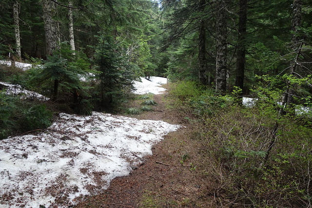
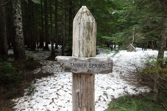
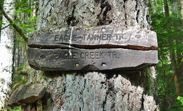
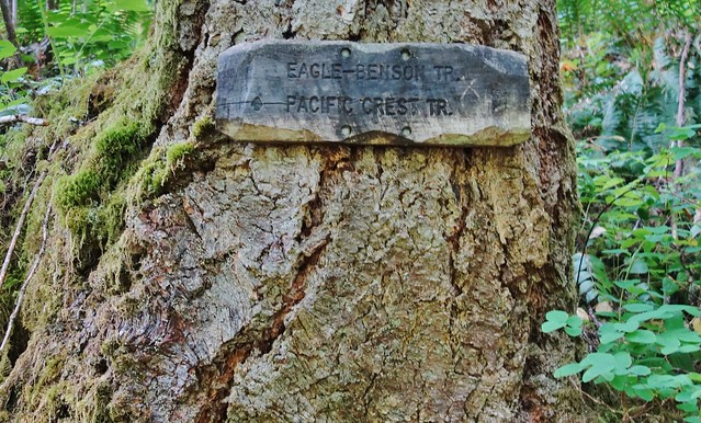
Bushwhacked for a short distance to intersect with the Tanner Tr., not far from the Tanner Springs junction. This was the most snow all day and it ended just around the corner.
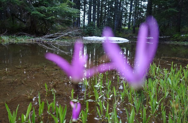
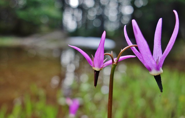
Thrush Pond on the Eagle – Tanner Tr.
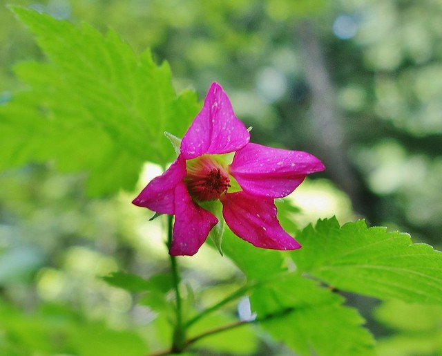
Salmonberry
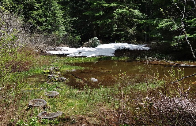
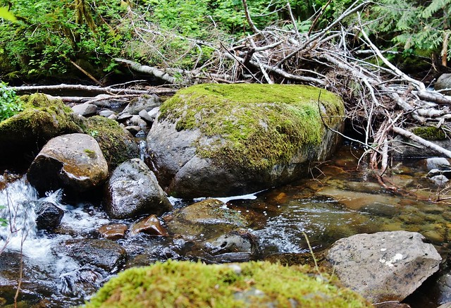
Big Cedar Springs
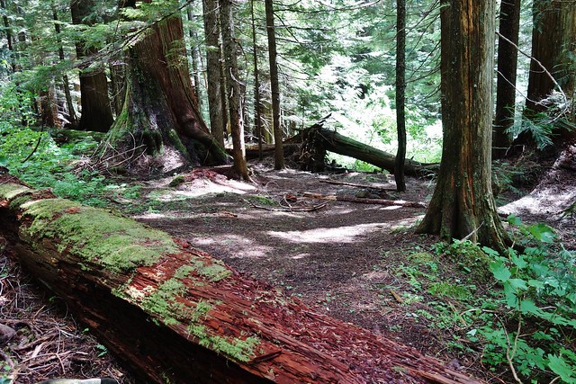
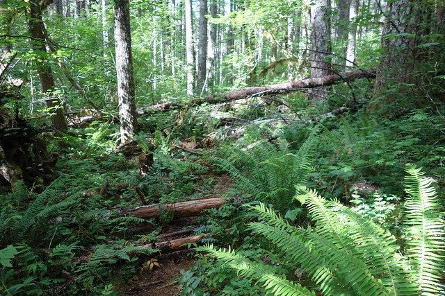
Trail got much worse for wear nearing the creek crossing.
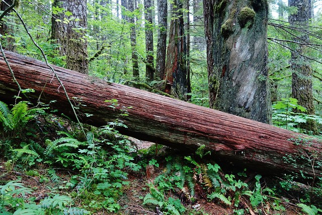
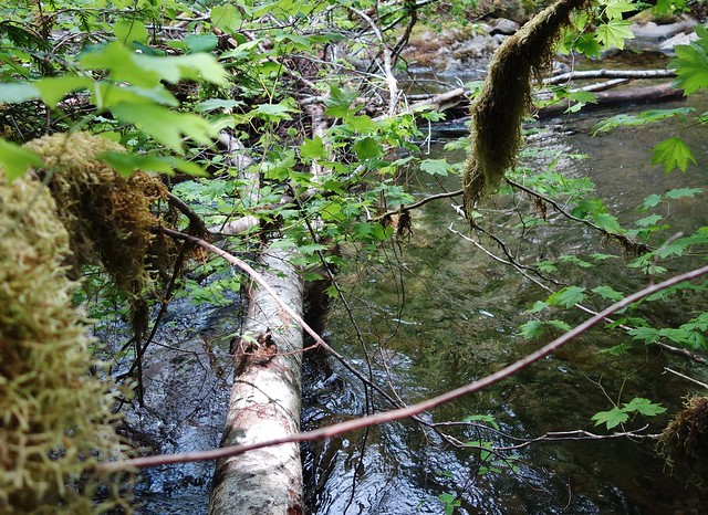
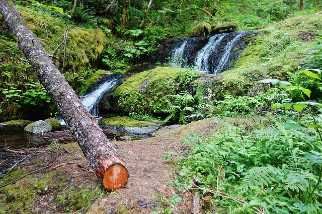
Didn’t really plan on doing the loop, so I didn’t bring sandals. Decided to make my way downstream to the log that’s crosses part of the creek.
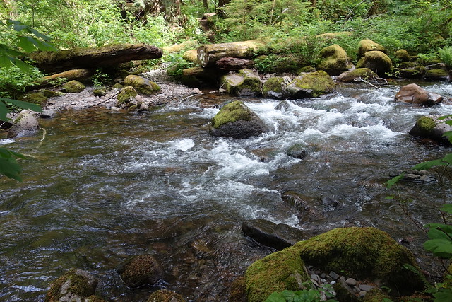
Looking back
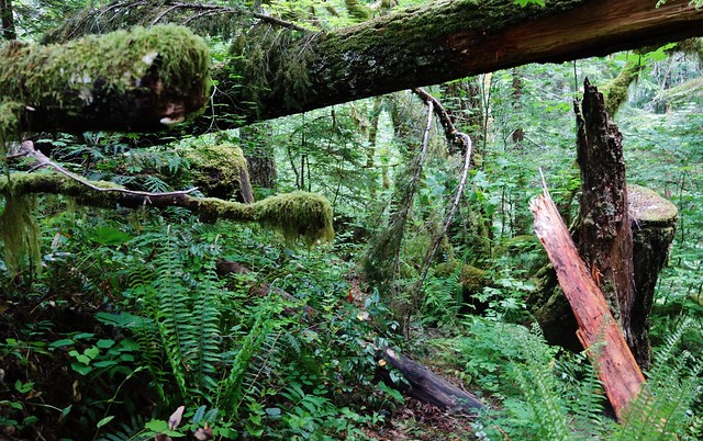
The trail is in need of some TLC on both sides of the creek.
But all the blowdown has been cleared from the Whatum Lake junction on in. Thank You trail crews!!!


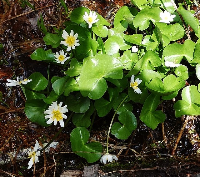
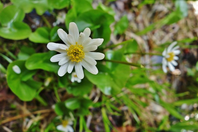
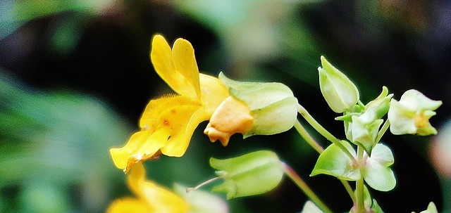
Yellow Monkeyflower
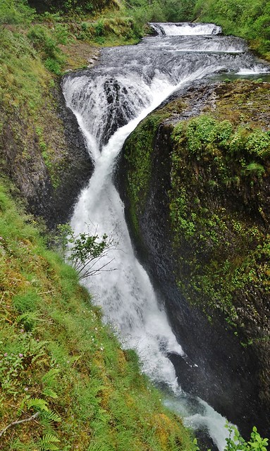
Twister
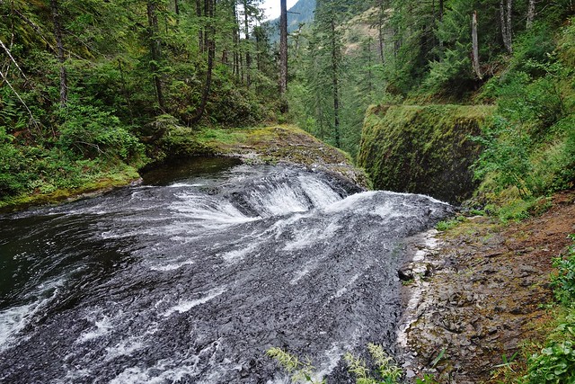
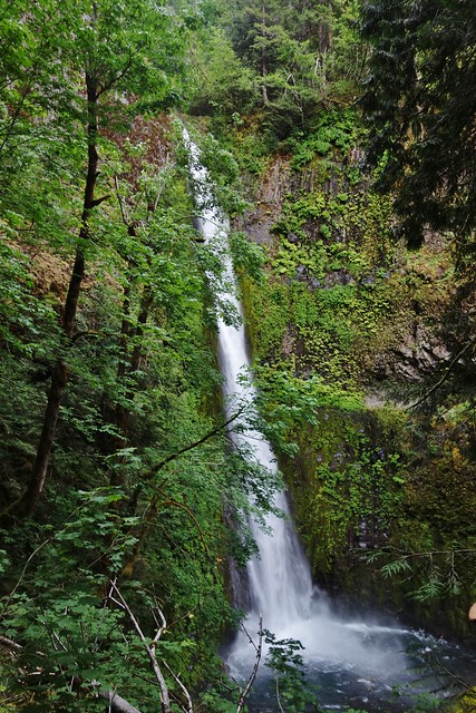
Falls
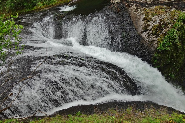
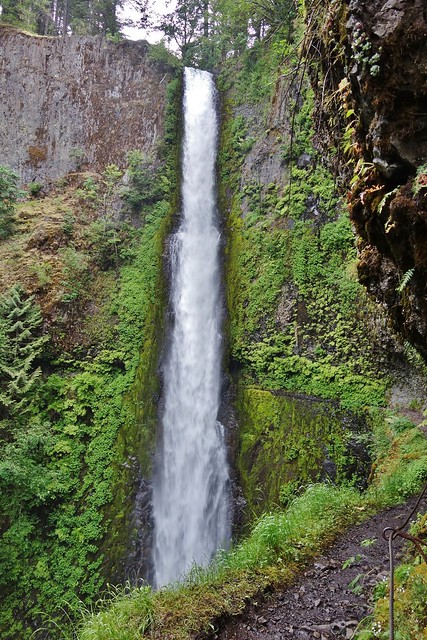
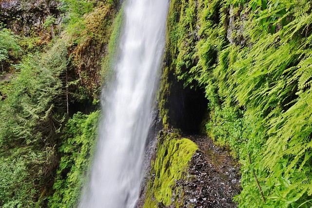
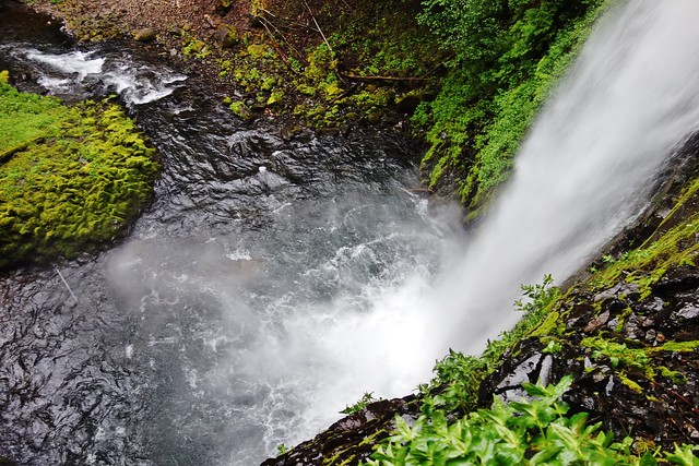
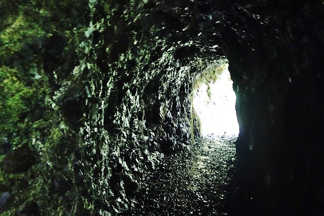
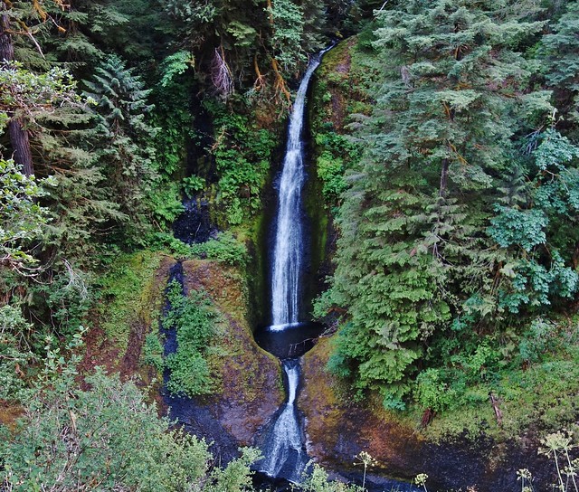
Tunnel Falls
Not far to go now
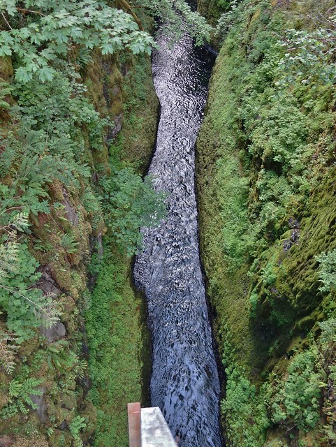
High Bridge
Loowit Falls
It was a fun day on the trail. Approximately 25 miles/ 5200’ gain
Thought I’d take a little trip up to Tanner Butte to see how much the snow how melted in the last 3 weeks since I was up there last. The snow drifts were easily 4’ deep, then, so I didn’t expect to see it essentially all melted out. What a surprise.
The start gave me high hopes for blue skies, even though the forecast called for clouds.
Queen Anne’s Lace
Oxeye Daisy
Oregon Sunshine
The ridge trail at about 3600’
To beargrass alley where this pretty much summed up what’s left in snow.
Getting to the summit hardly had enough snow to mention, either.
No volcanoes views today, but sure could have been worse.
The high points are Mt. Defiance and Chinidere Mt.
The just passed through beargrass alley sits down below.
Tanner Lake
Headed down the south ridge that Don Nelsen mentioned some time ago.
Looking back up
Tanner Lake from half way down
Indian Paintbrush was spread out all over the hillside.
What little beargrass bloom, I saw, was here.
Bushwhacked for a short distance to intersect with the Tanner Tr., not far from the Tanner Springs junction. This was the most snow all day and it ended just around the corner.
Thrush Pond on the Eagle – Tanner Tr.
Salmonberry
Big Cedar Springs
Trail got much worse for wear nearing the creek crossing.
Didn’t really plan on doing the loop, so I didn’t bring sandals. Decided to make my way downstream to the log that’s crosses part of the creek.
Looking back
The trail is in need of some TLC on both sides of the creek.
But all the blowdown has been cleared from the Whatum Lake junction on in. Thank You trail crews!!!
Yellow Monkeyflower
Twister
Falls
Tunnel Falls
Not far to go now
High Bridge
Loowit Falls
It was a fun day on the trail. Approximately 25 miles/ 5200’ gain