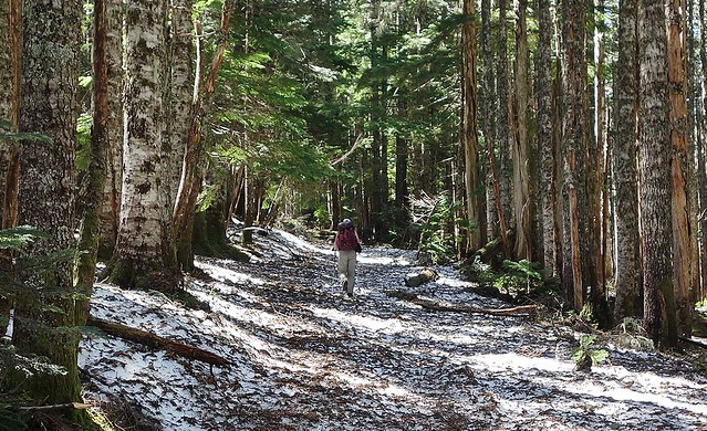
After doing Larch Mountain with ease, I decided on Sunday that Tanner Butte would be a nice challenge. I took the route from Wahclella Falls, past
Wauna Point. The trail was a pretty quick, uneventful slog until with a mile or two of Tanner Butte, where I realized just how much I had underestimated the snow. The beargrass marking the trail soon disappeared under large drifts, along which I followed the boot tracks of those before me:
 Viewed 3897 times")
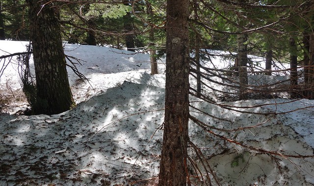
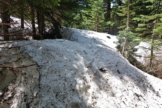
- The trail turned into drifts of snow, along which I followed older boot tracks.
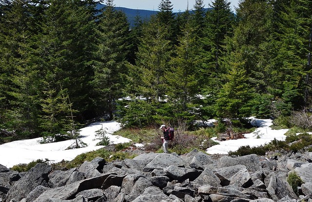
Eventually, I couldn't see any tracks under the foliage on the ground and decided to turn around:
 Viewed 3897 times")
- I eventually ran out of boot tracks to follow.
I started heading back down, before running into Jack and Laura, two Gorge fanatics with GPS who had been up Tanner Butte before. Jack took out his camera, and I instinctively asked if he was doing a trail report. We built our own rapport, and the couple allowed me to tag along. We made our way past what I think was Beargrass Alley, caught site of the butte and then headed into some thicker forest, where the drifts were up several feet high.
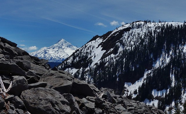
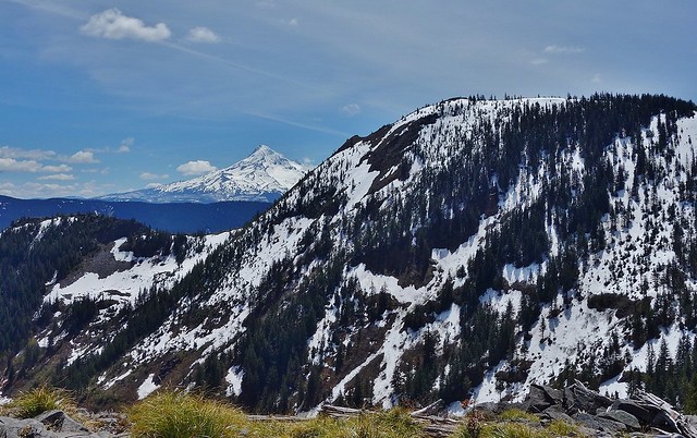
Postholing and trying to stay on top of increasingly slushy, sun-warmed snow drifts in my Merrell Ventilators and gym shorts, I eventually decided to turn around for another day. Jack and Laura, with better boots and hiking pants, soldiered on. On the way back, I caught a nice little view of Mount Hood in between the fir branches:
 Viewed 3897 times")
- A short break in the trees reveals a nice view of Mount Hood.
Down near a point where I had transitioned from trail to roadbed somewhat randomly coming up, the boot tracks in snow suddenly stopped again. I tried a few different routes, with no luck finding boot tracks. I was getting a bit upset at myself, lost on the trail, my shoes soaking and a large blister forming on my heel. Then good 'ol Jack and Laura came along with their GPS. We hiked back to where they split off for the Eagle Creek Trailhead, and me for Wahclella Falls. In the end, I think I got a healthy 4,000 feet or so in elevation gain. I used NWhiker.com for the trail description, which said 17 miles round trip from Wahclella Falls. With all my backtracking, figure I at least reached that.