Green Point Mt. Snow 5-14-17
Posted: May 17th, 2017, 3:52 pm
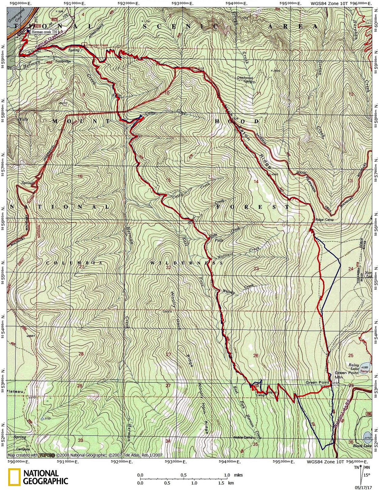
Thought I’d head up to Green Point Mt. (4740’) from the Herman Creek TH to see how much snow was up there and check out trail conditions from damage during the winter storms.
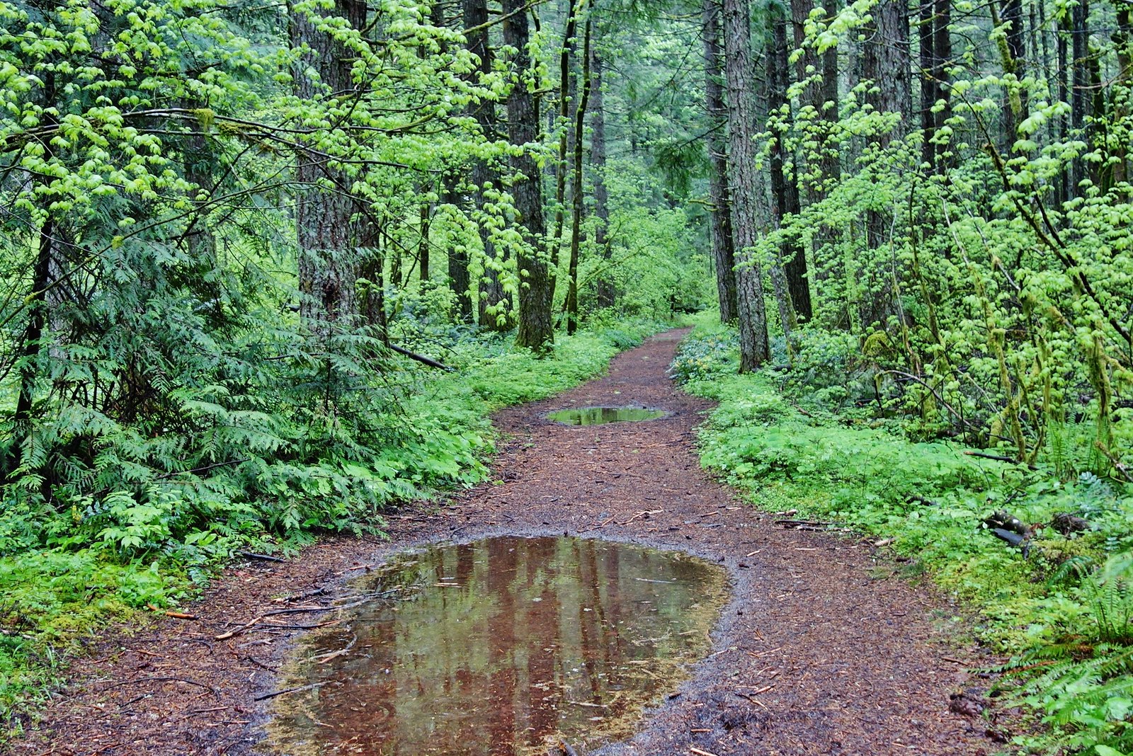
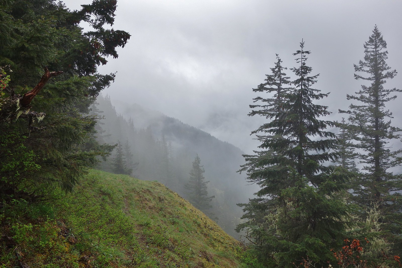
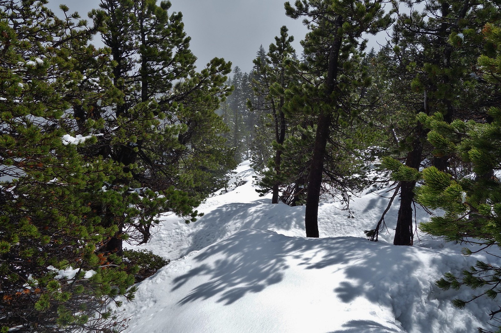
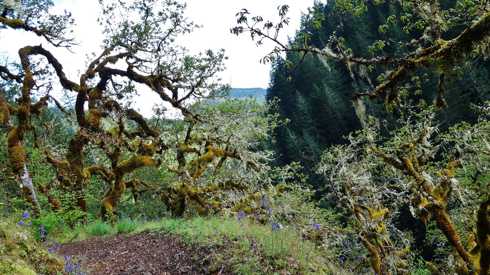
Started out in the rain, but there were a few short respites as the day went on, such as here just before the Gorton Cr. Tr. junction.
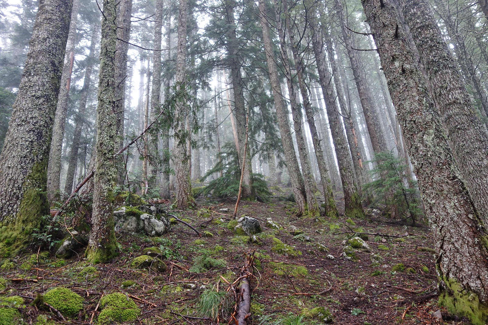
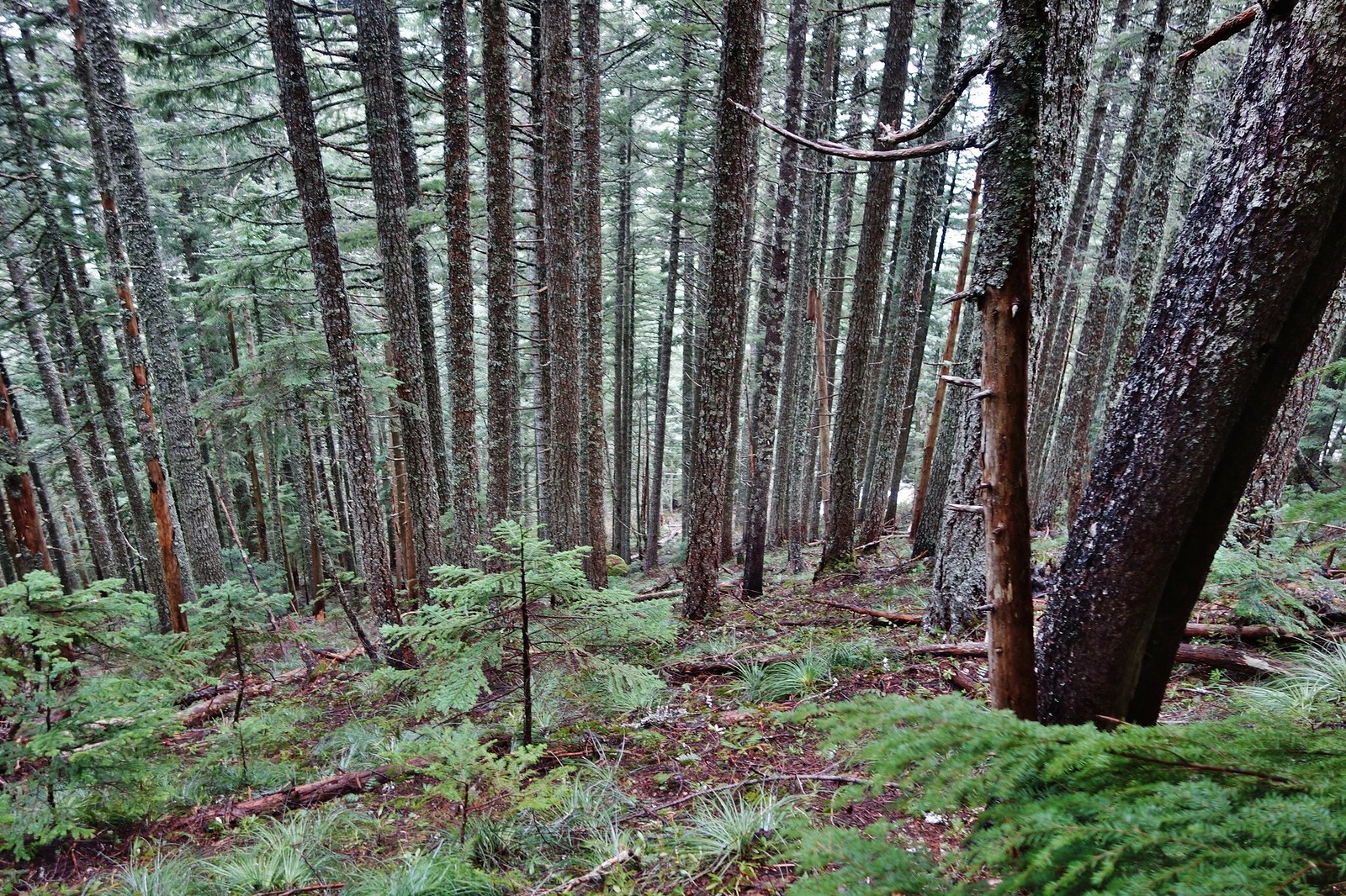
The trail was in great shape from the TH on up Nick Eaton Way and all the way up to the 4100’ high point on Nick Eaton Ridge before the Casey Creek Tr. junction.
Nick Eaton Way
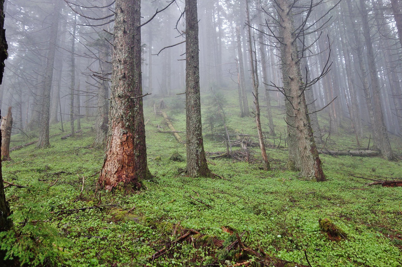
Grey bird day
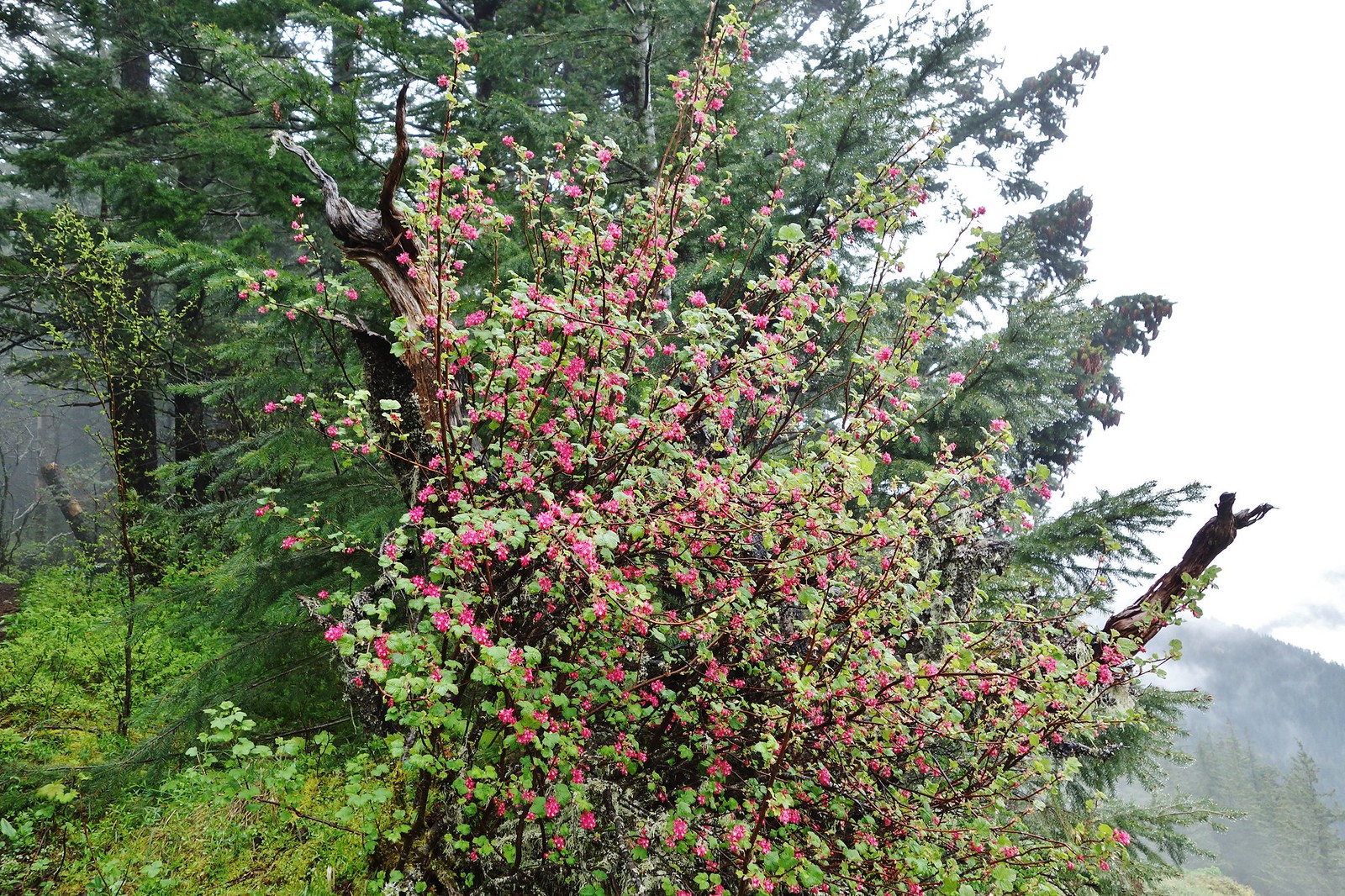
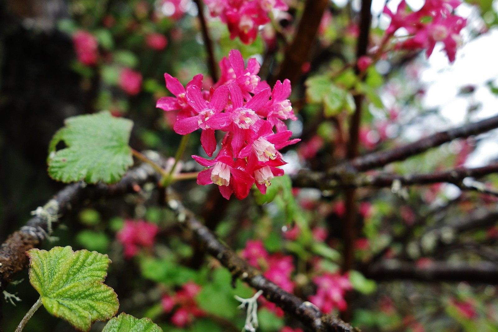
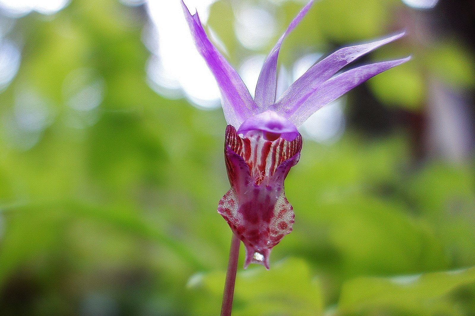
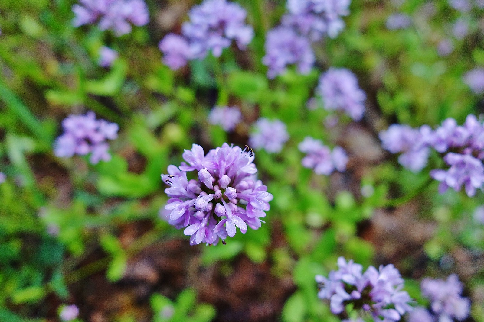
Red Flowering Currant
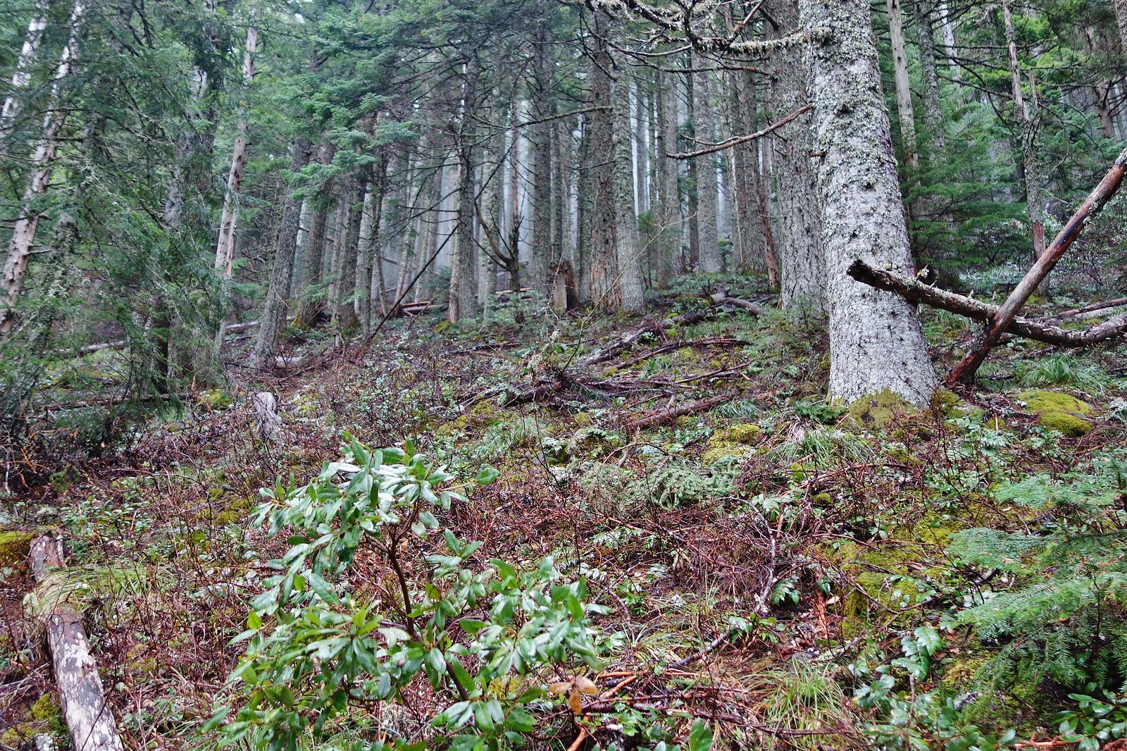
Start of the steeper part of Nick Eaton Ridge at 3200’.
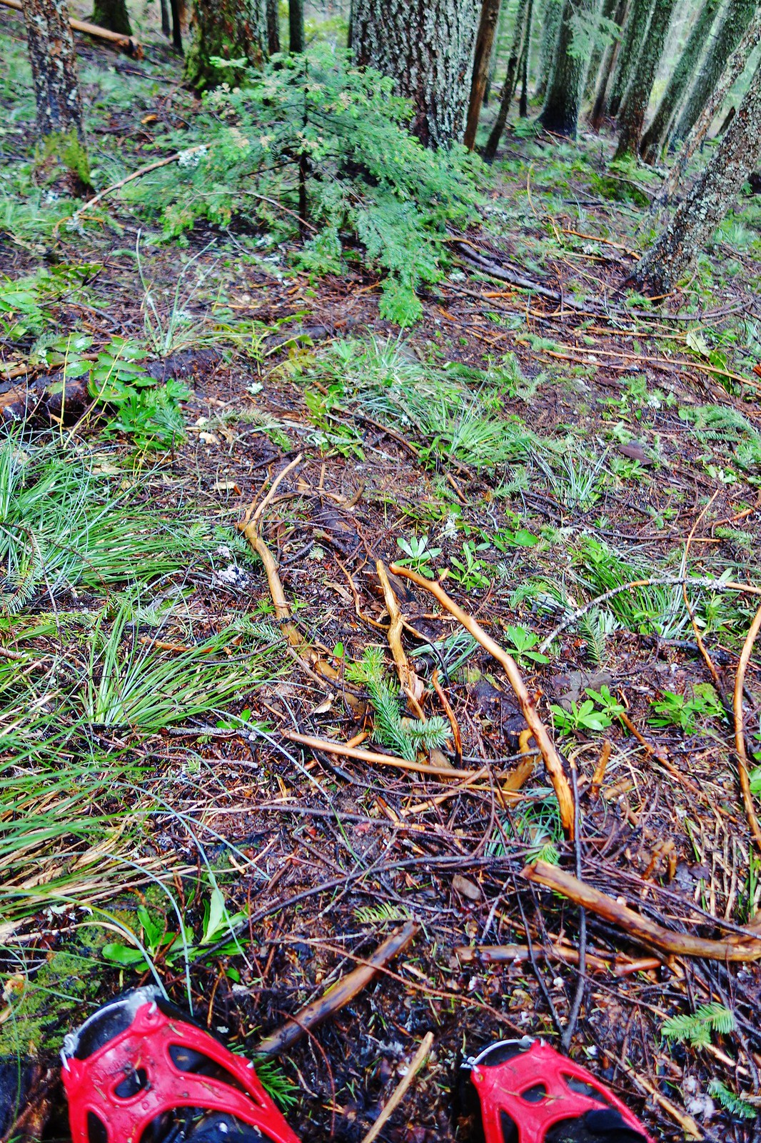
Ran into a little snow on the east side of the ridge just below the high point, but it only covered about 100’ of trail.
The high point of the ridge before the Casey Cr. junction at 4100’.
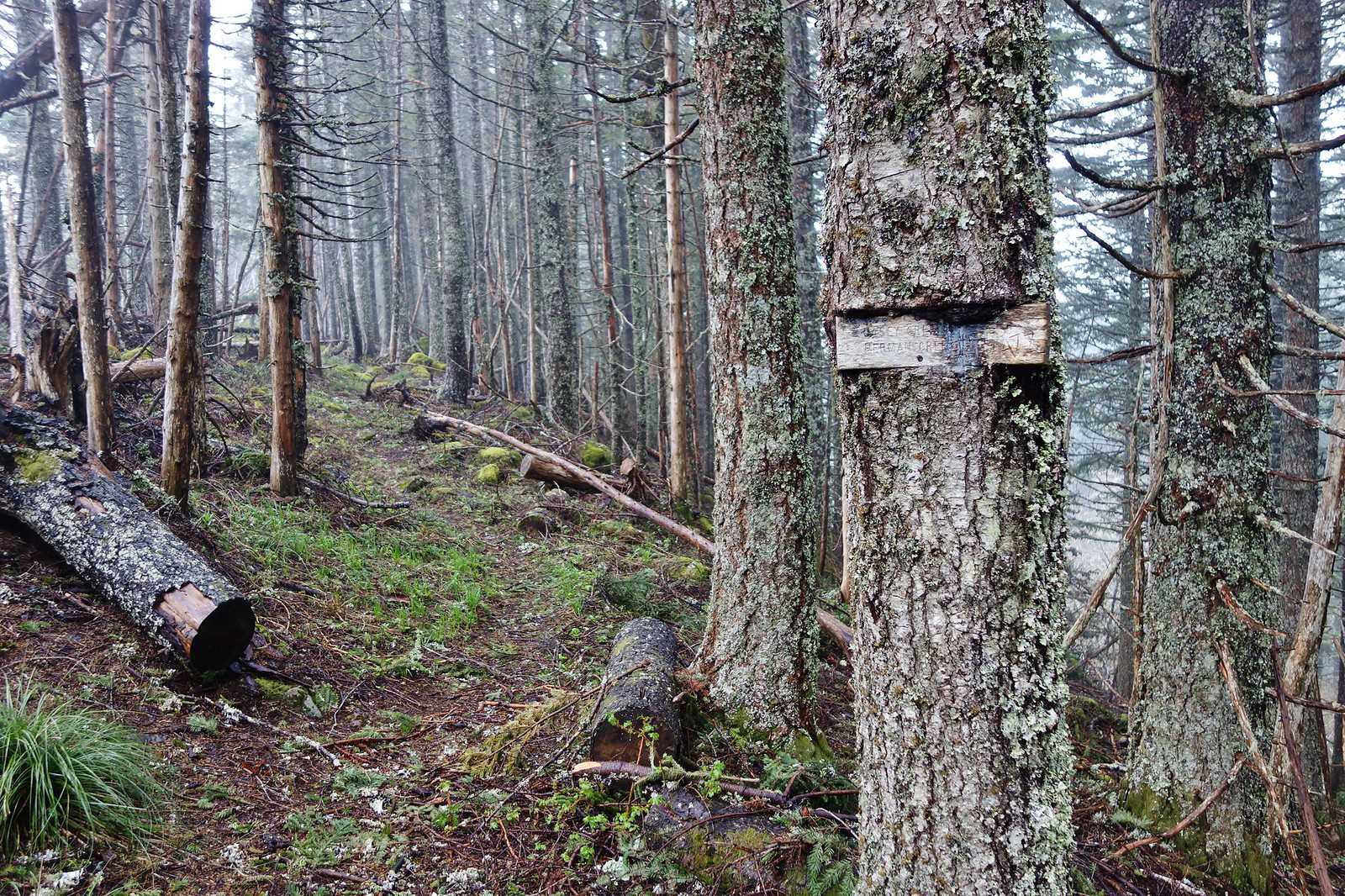
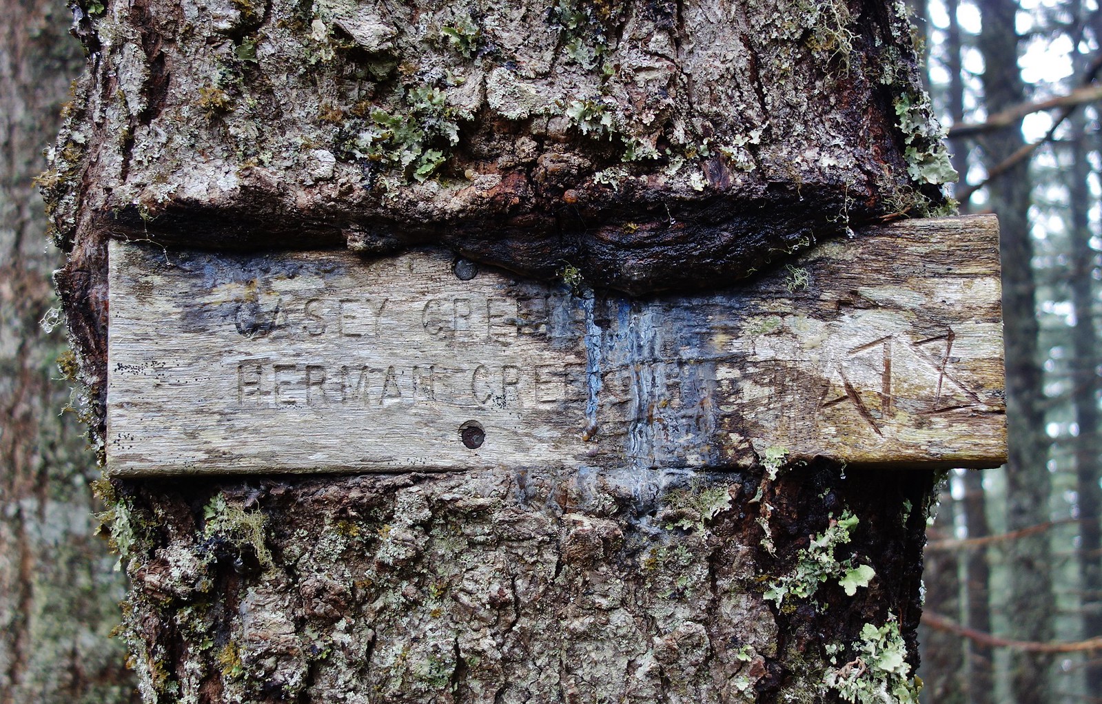
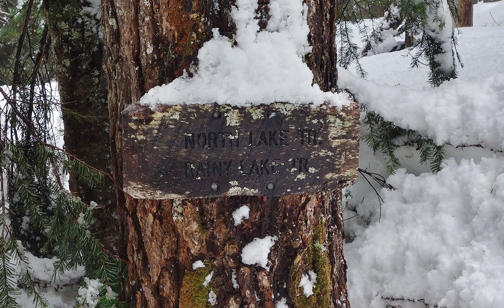
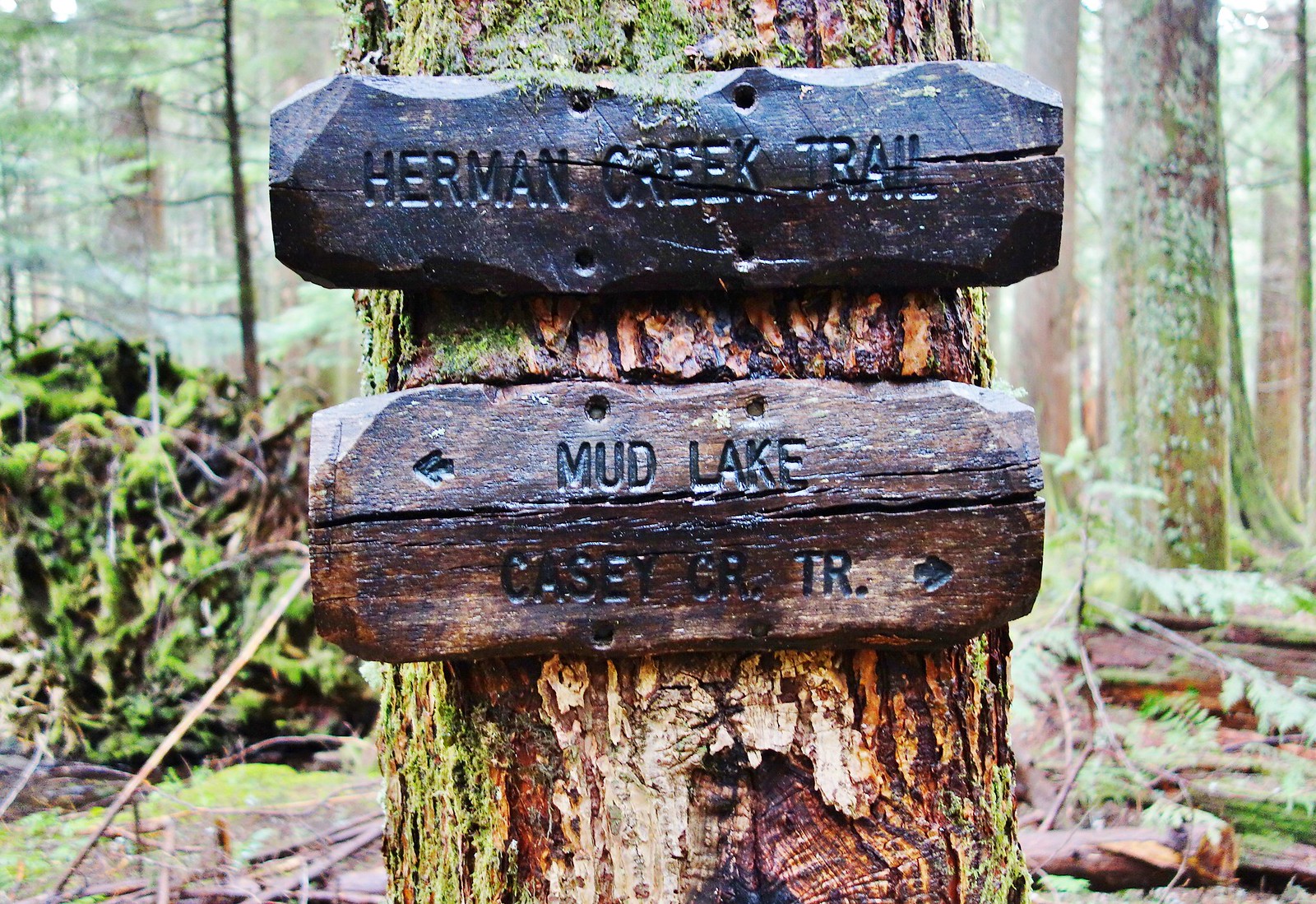
The Casey Cr. junction sign
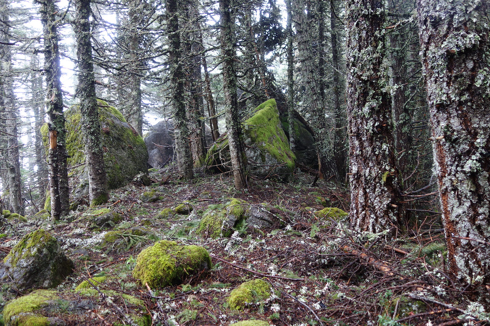
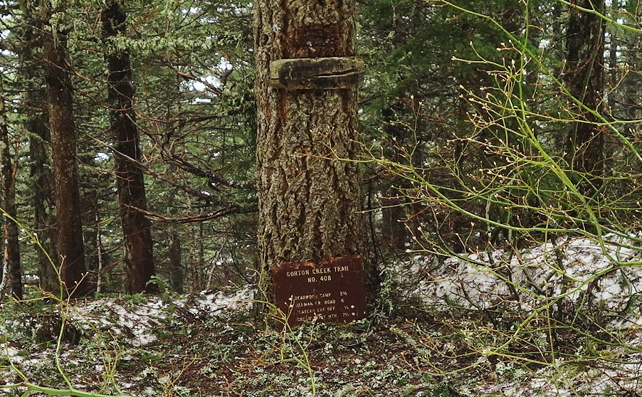
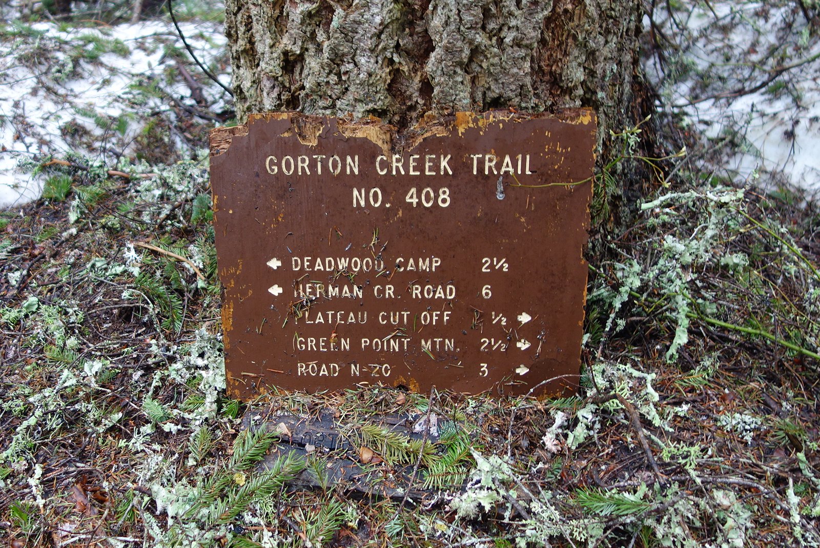
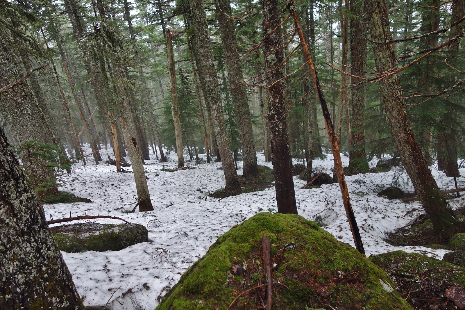
No snow on the rest of the ridge except for a small amount leading down to the Gorton Tr. junction.
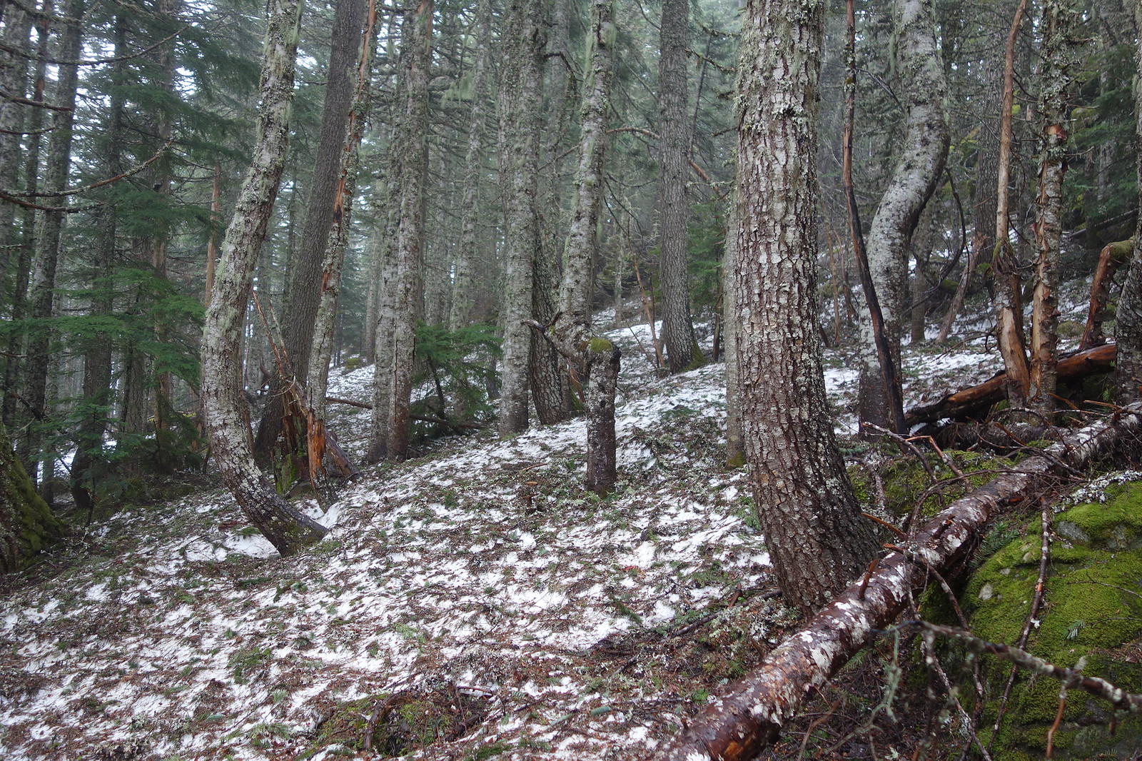
From there the snow was just spotty…
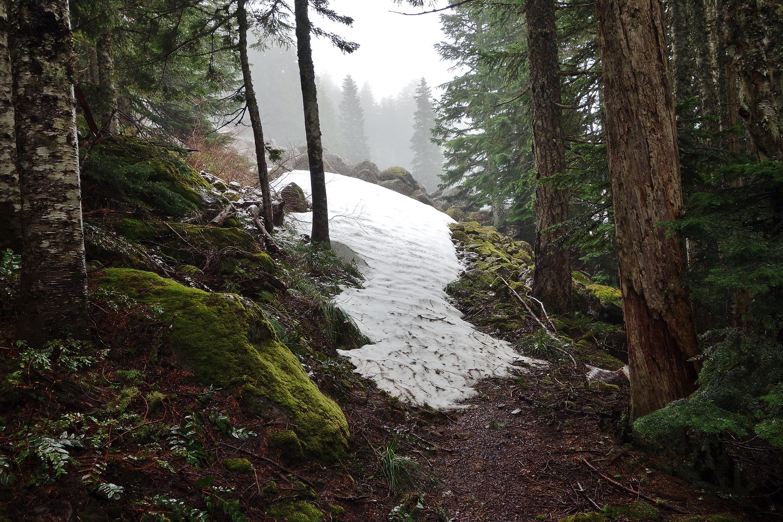
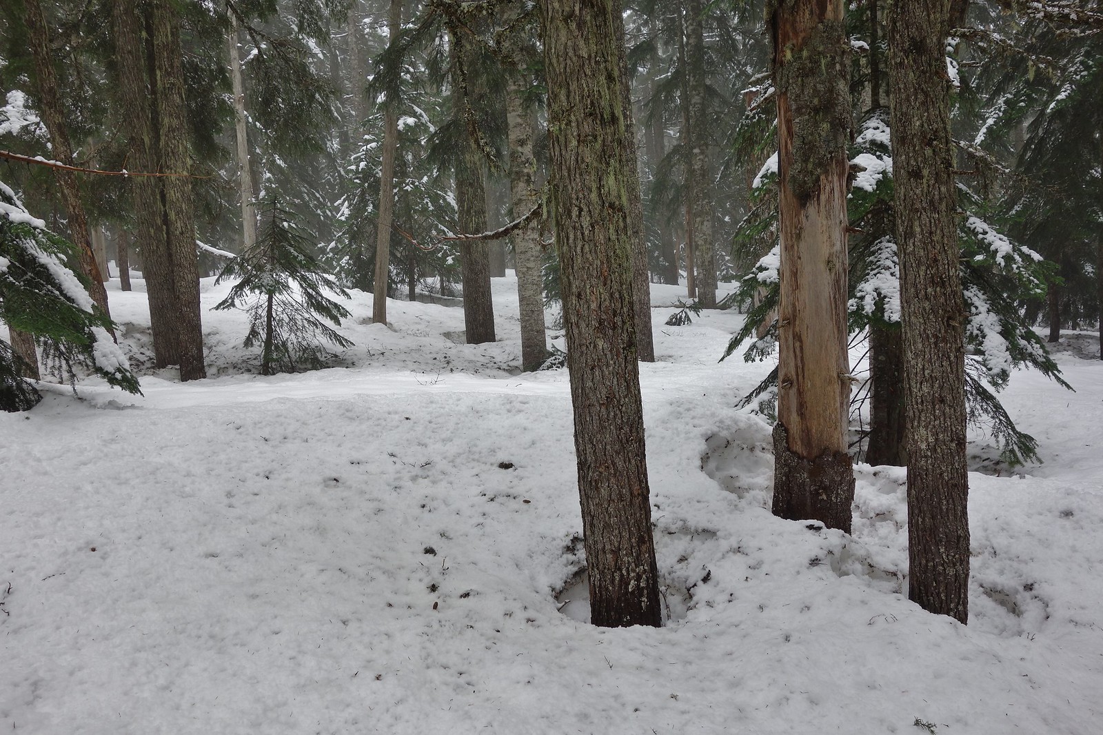
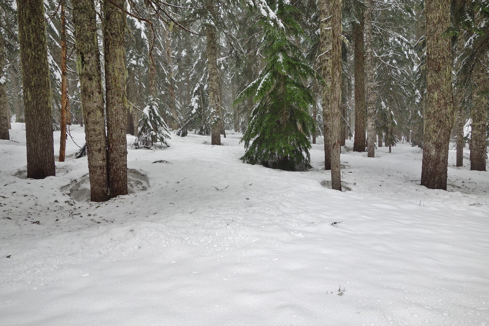
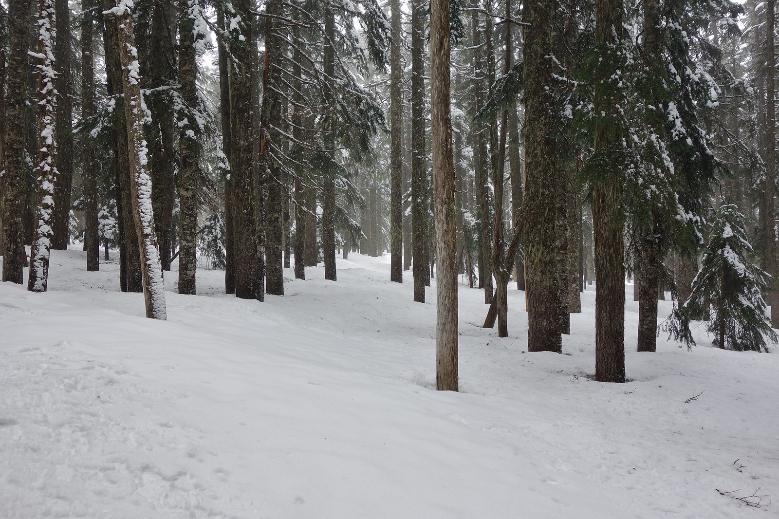
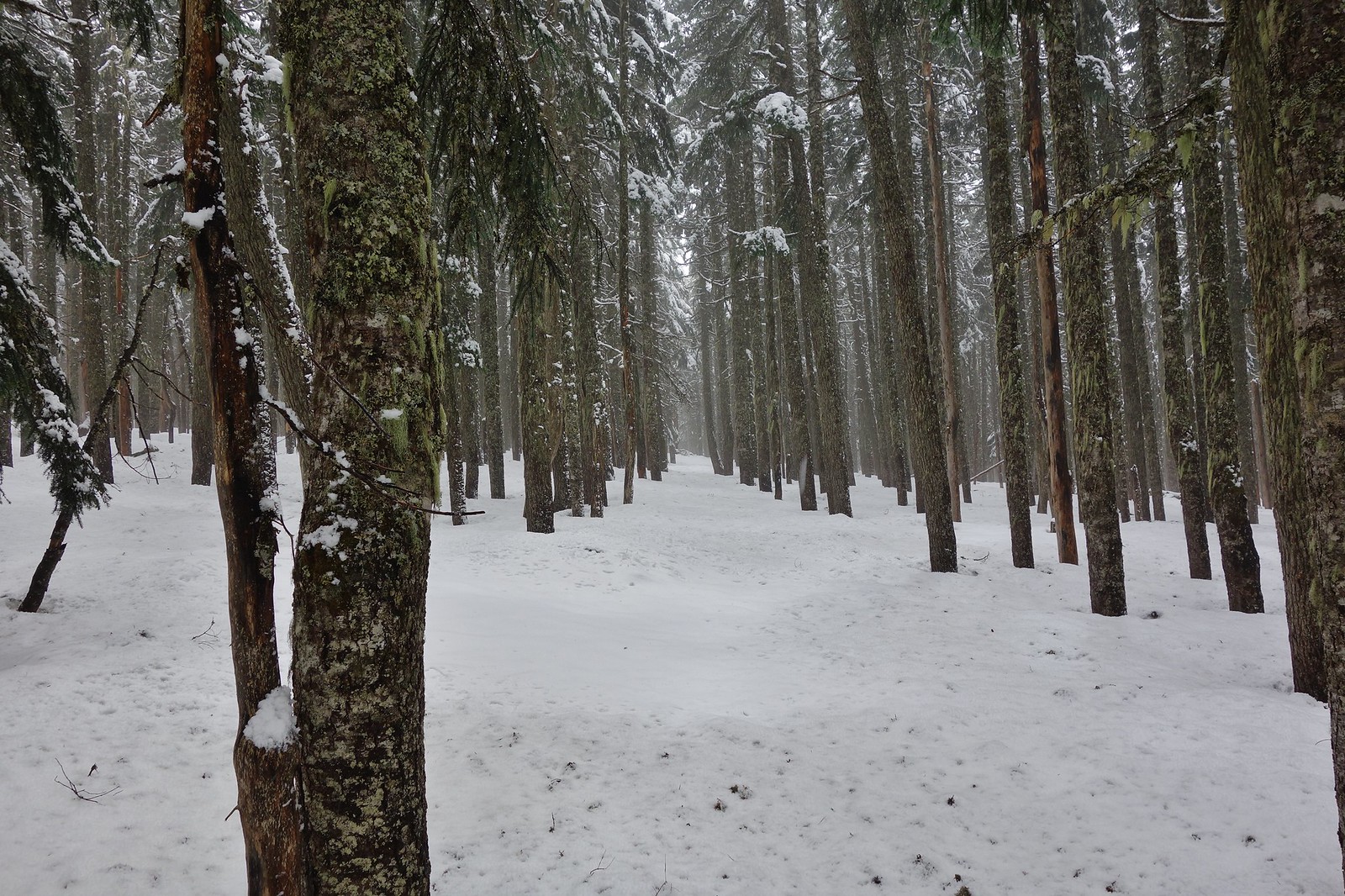
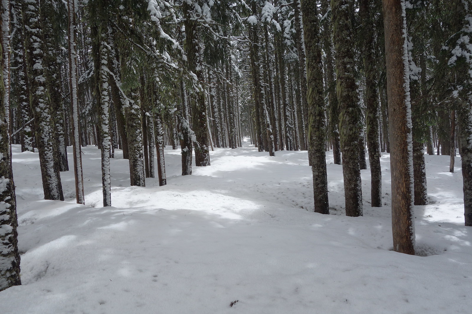
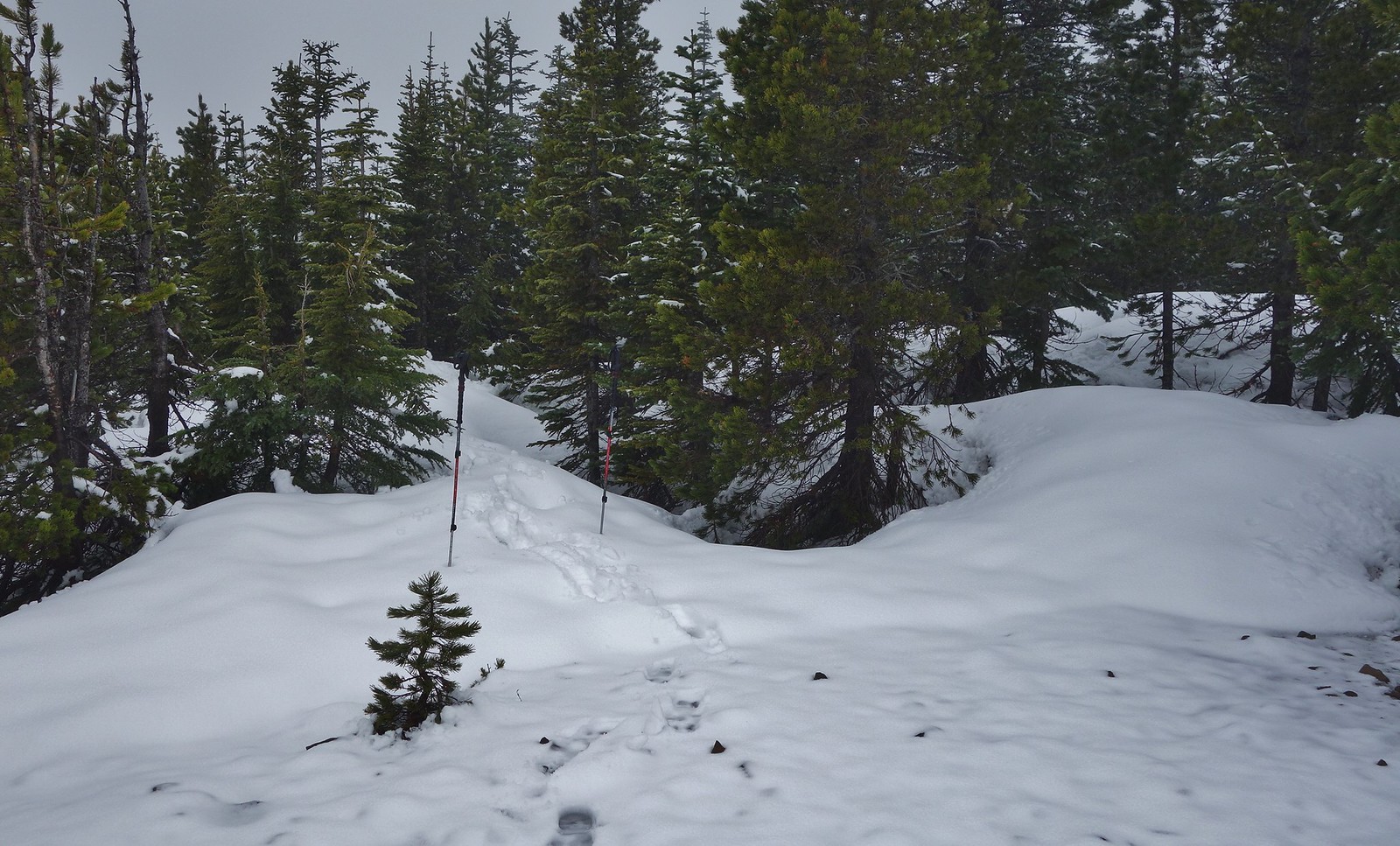
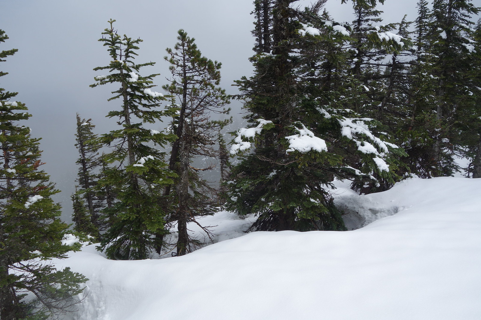
…until I got on the Green Pt. plateau at 4200’ when it was all snow for the remaining two miles to the top.
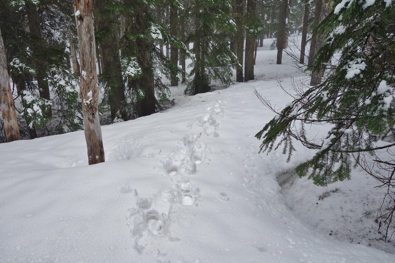
Went pretty direct from there until I caught a glimpse of the trail corridor which transforms into what is about as direct as you can get.
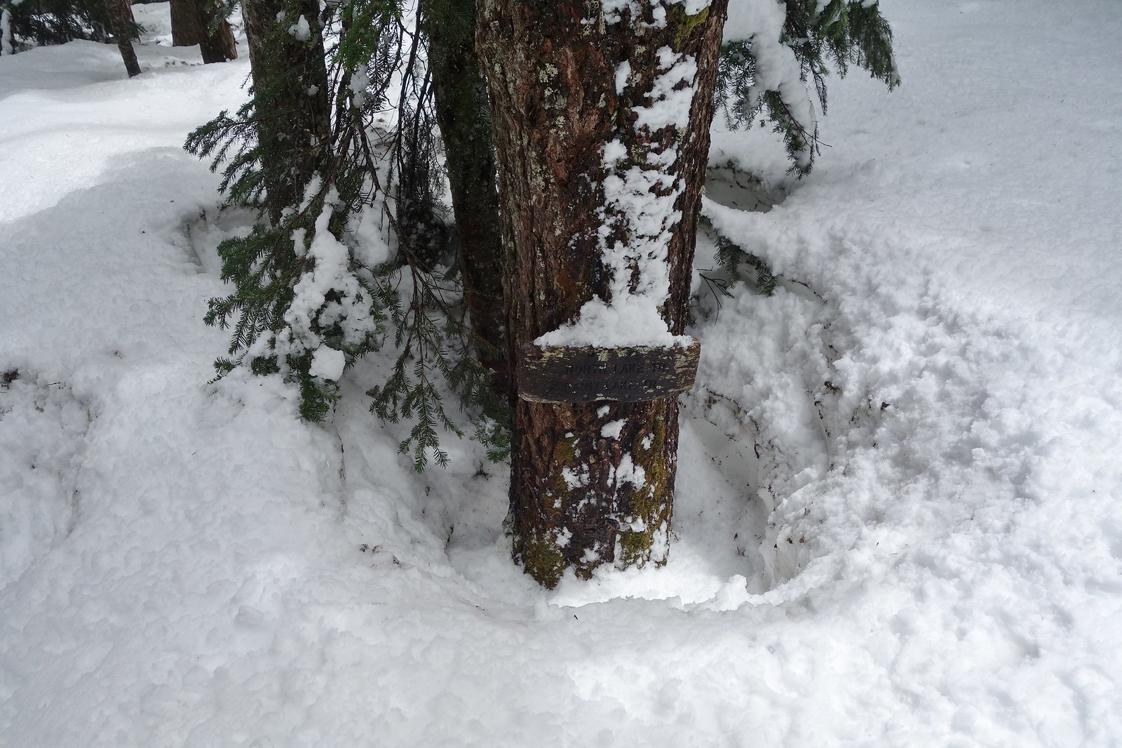
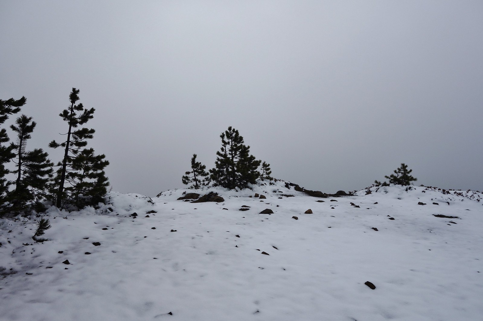
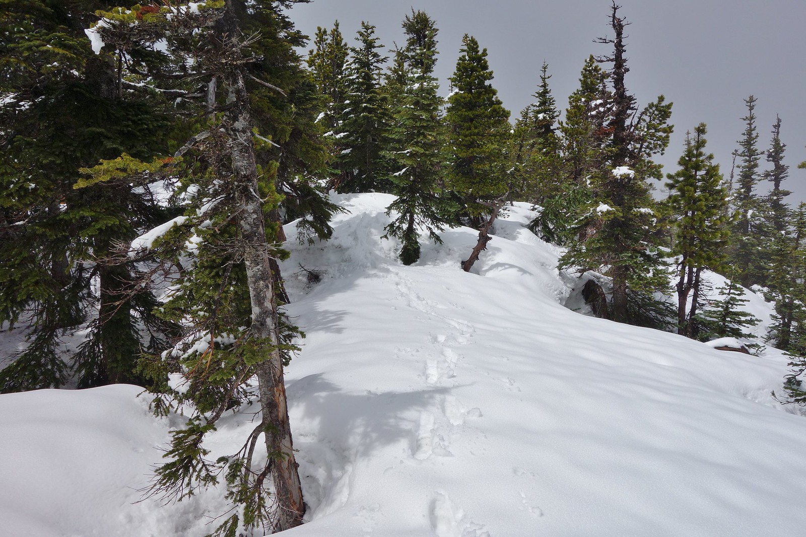
Tied into the four-way junction that branches south for about ¼ mile to the summit.
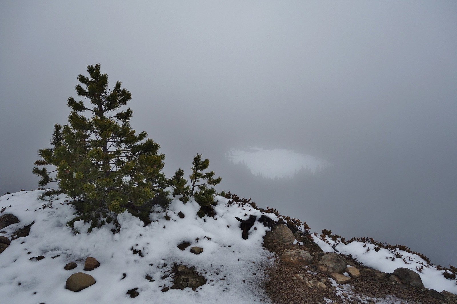
Snow drifts from 3’-5’ deep were not in short supply, but the viewpoint was oddly enough almost bare. Put the microspikes on here for the descent.
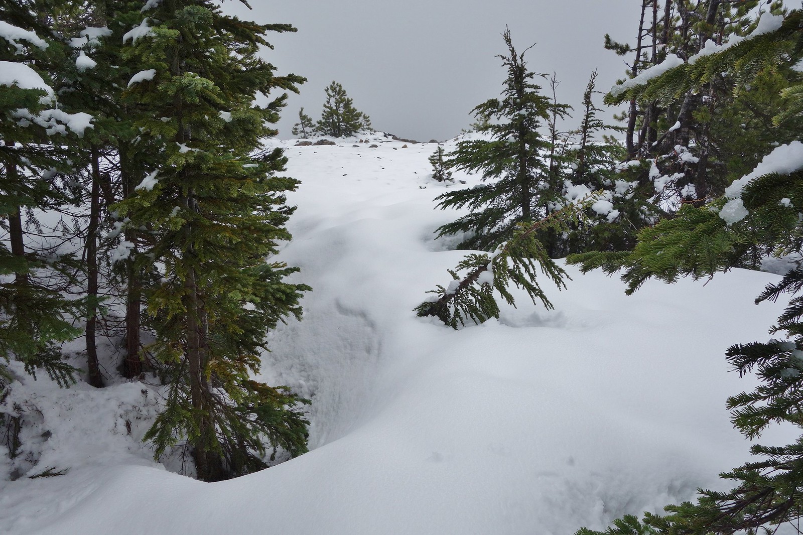
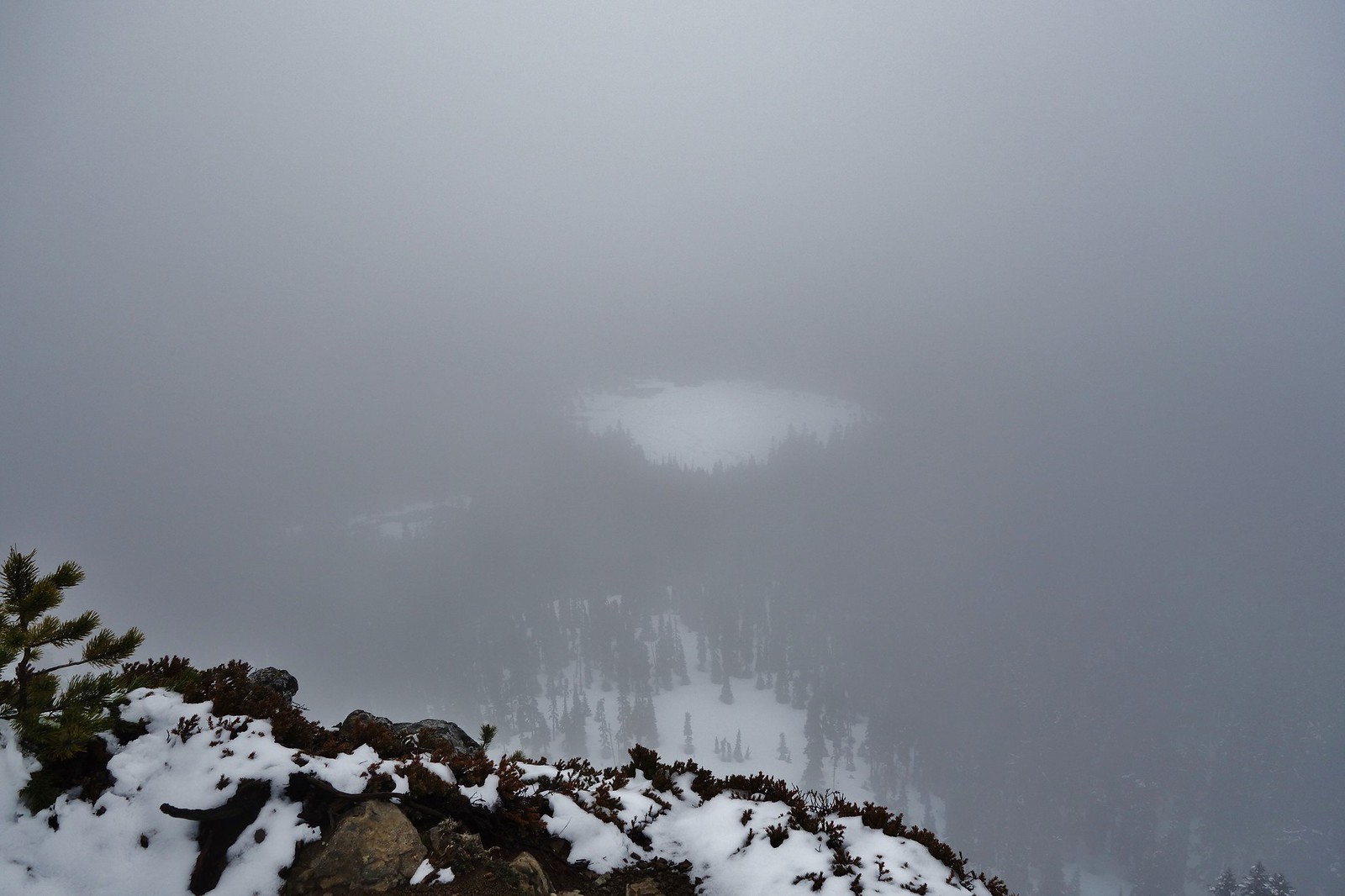
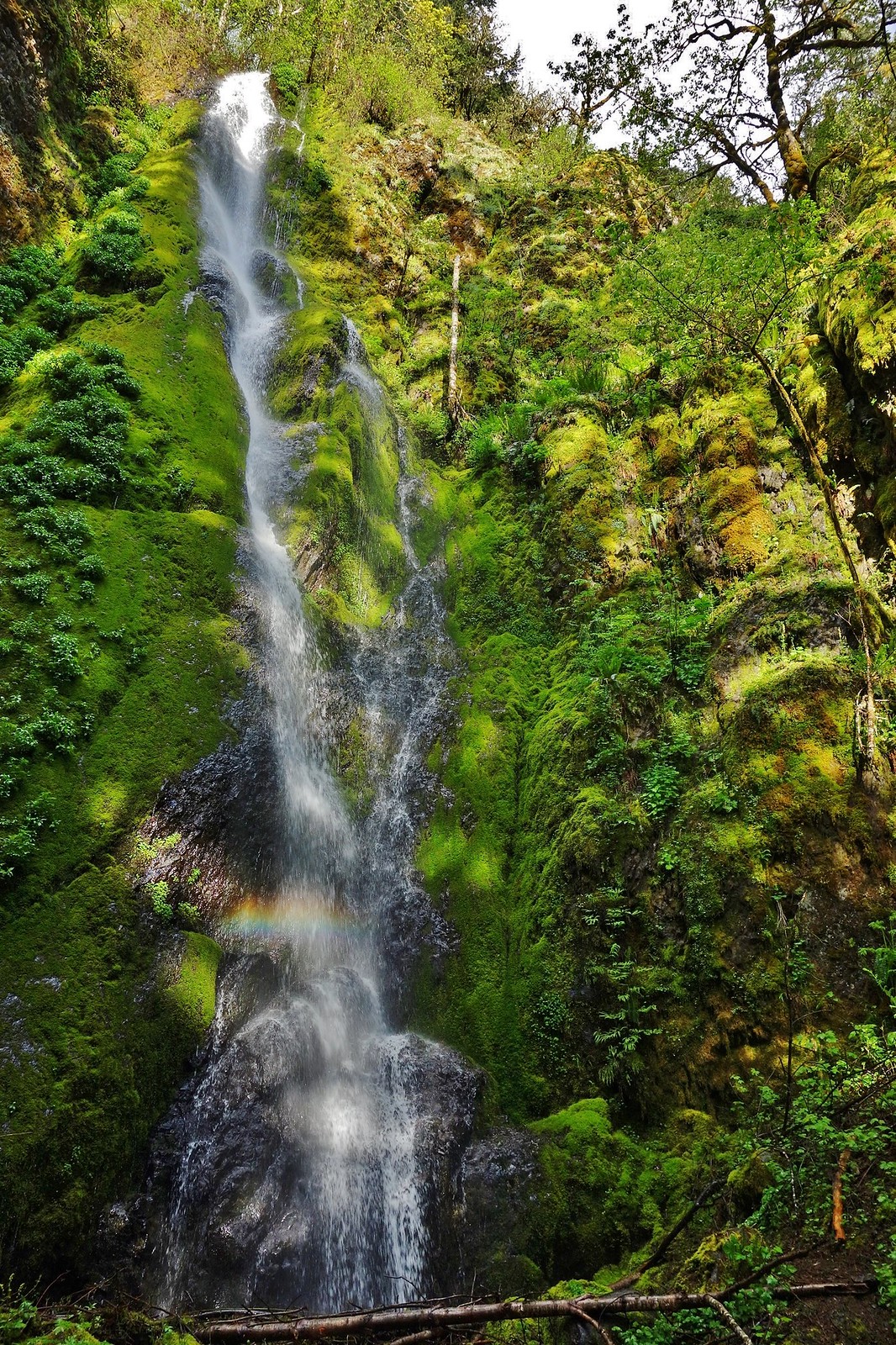
A foggy Rainy Lake
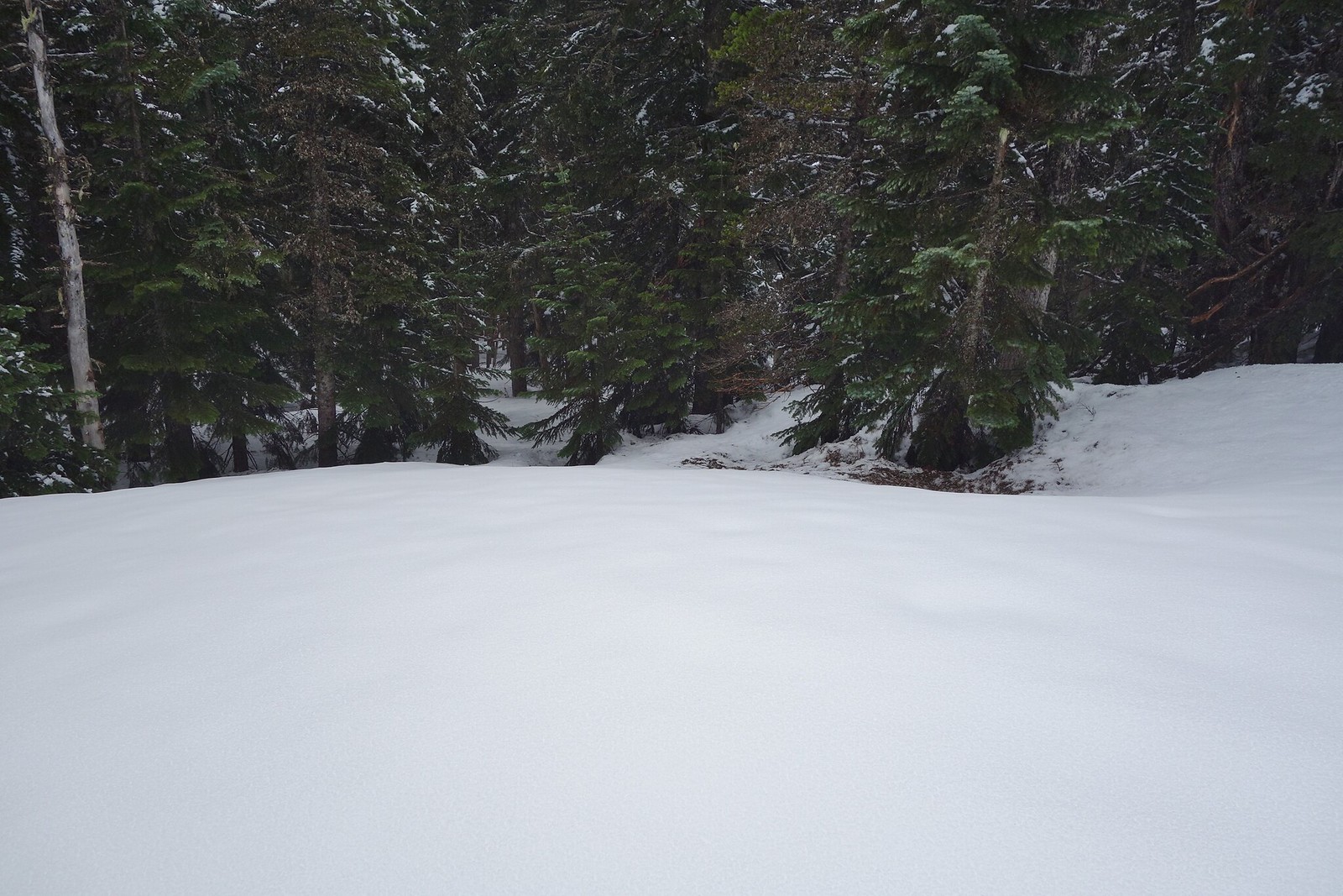
Due the ample snow depth going down the south west side, I mistakenly thought there might be enough snow to bypass the shelter and drop down direct to the Herman Creek Cutoff Tr. switchbacks at 3900’ (old Mayhem and Eric Peterson loony trick).
 [/url]
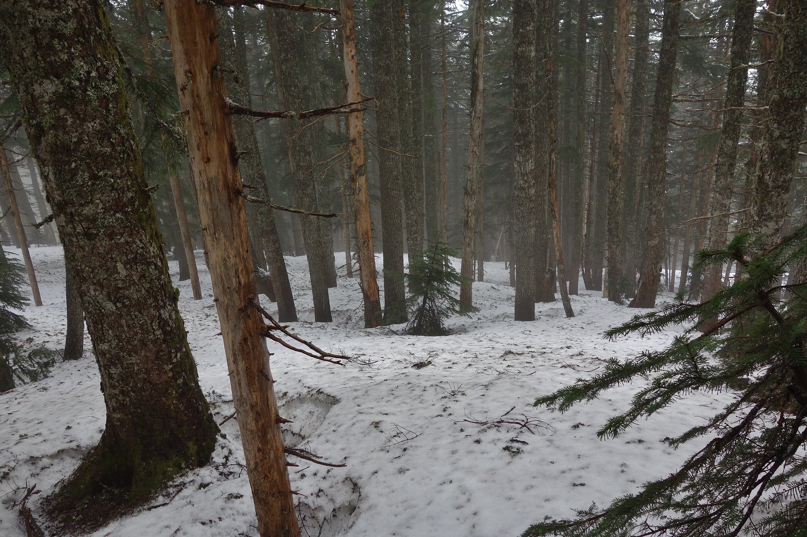
But, alas, I started running out of snow at around 4300’, but I left the microspikes on to gain traction going down the steepest part on drenched ground.
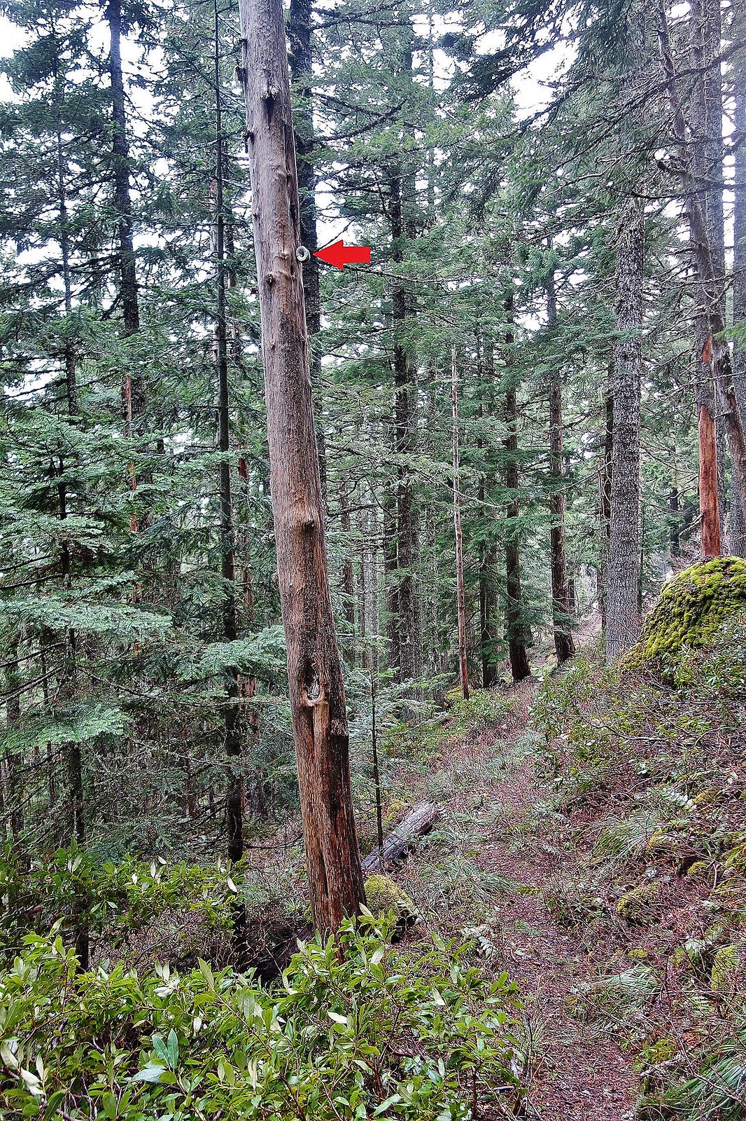
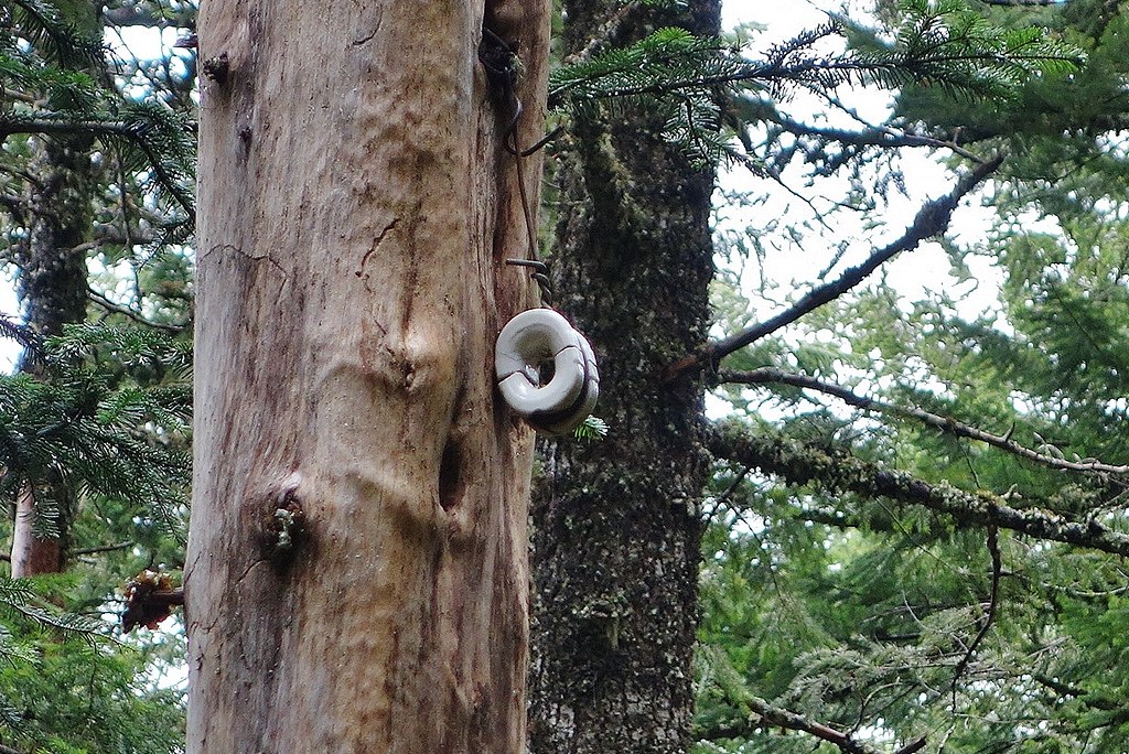
Merged onto the trail right where an old pole/snag held (red arrow) what I suspect is the telephone wire insulator that someone had shown in a trip report some years back.
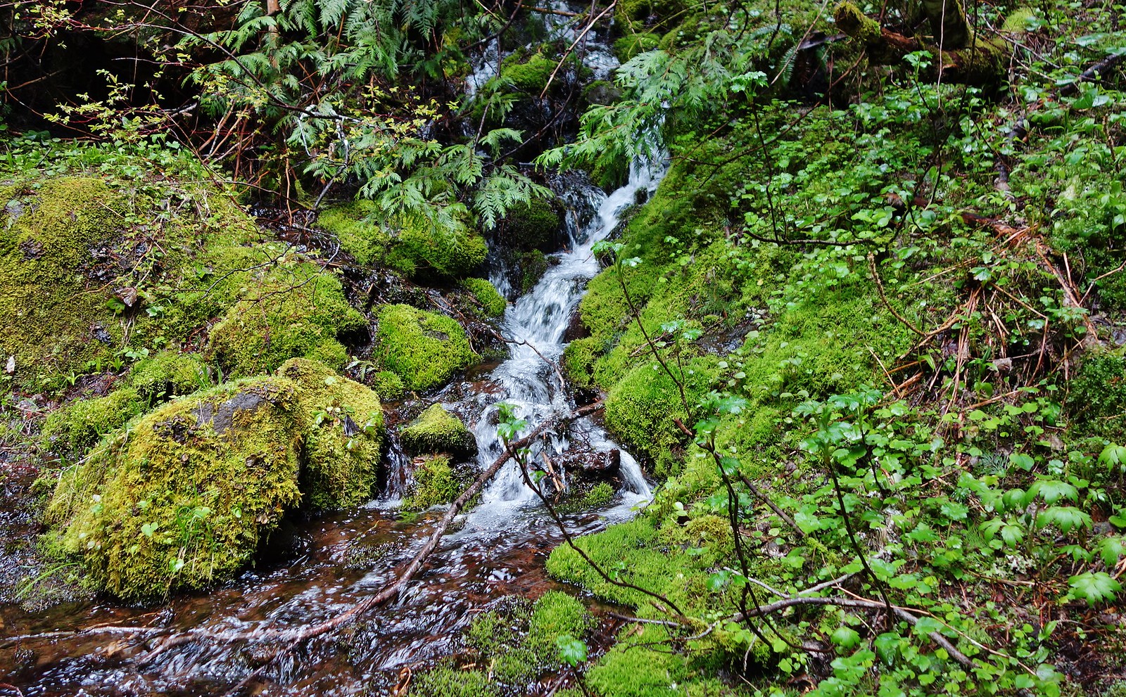
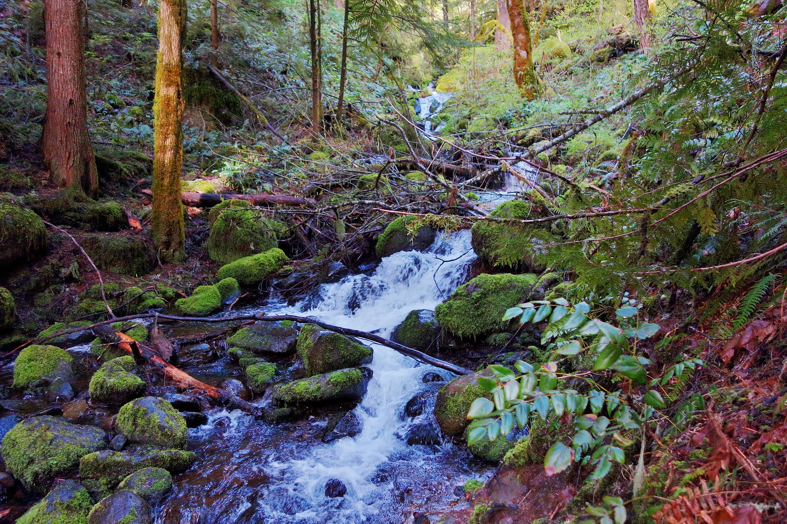
The streams were flowing well.
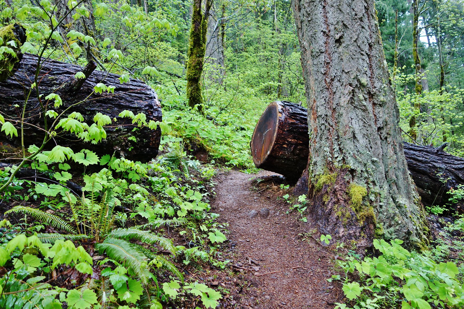
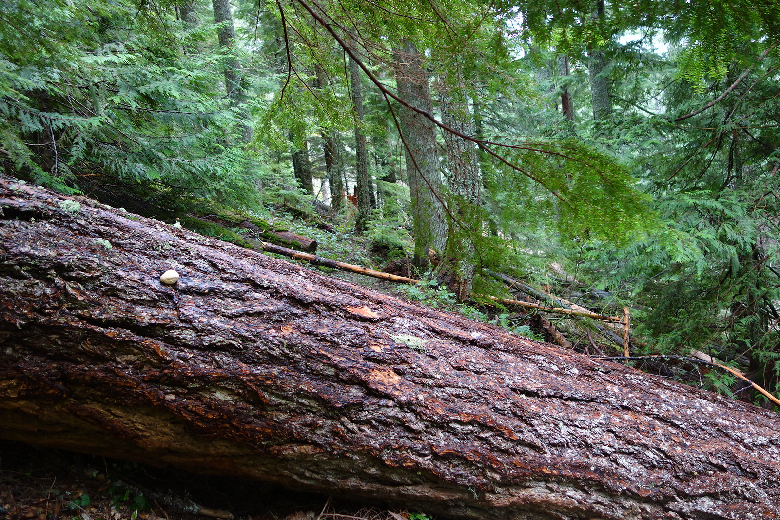
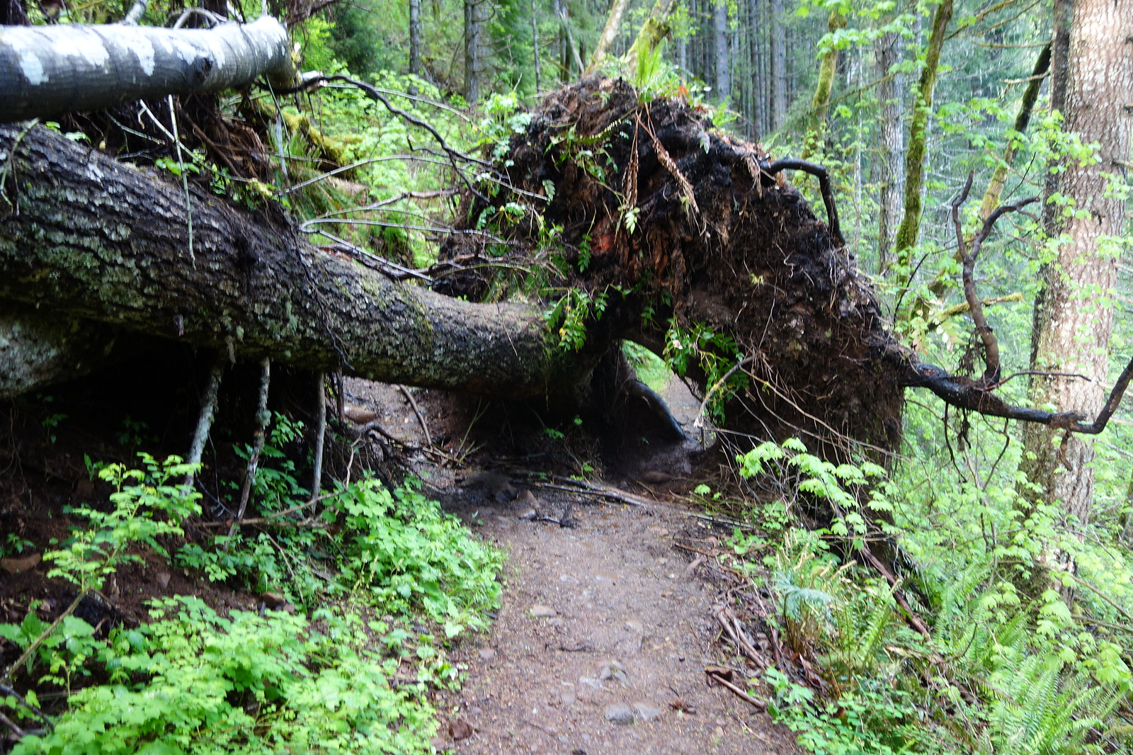
This log was the worst of the downfall on the Herman Cutoff Tr. I’ll post pictures of most of the downed logs on a large portion of the Herman Cr. Tr. on the “Trail Rx” page a little later. Sure helps cut down on the overcrowding.
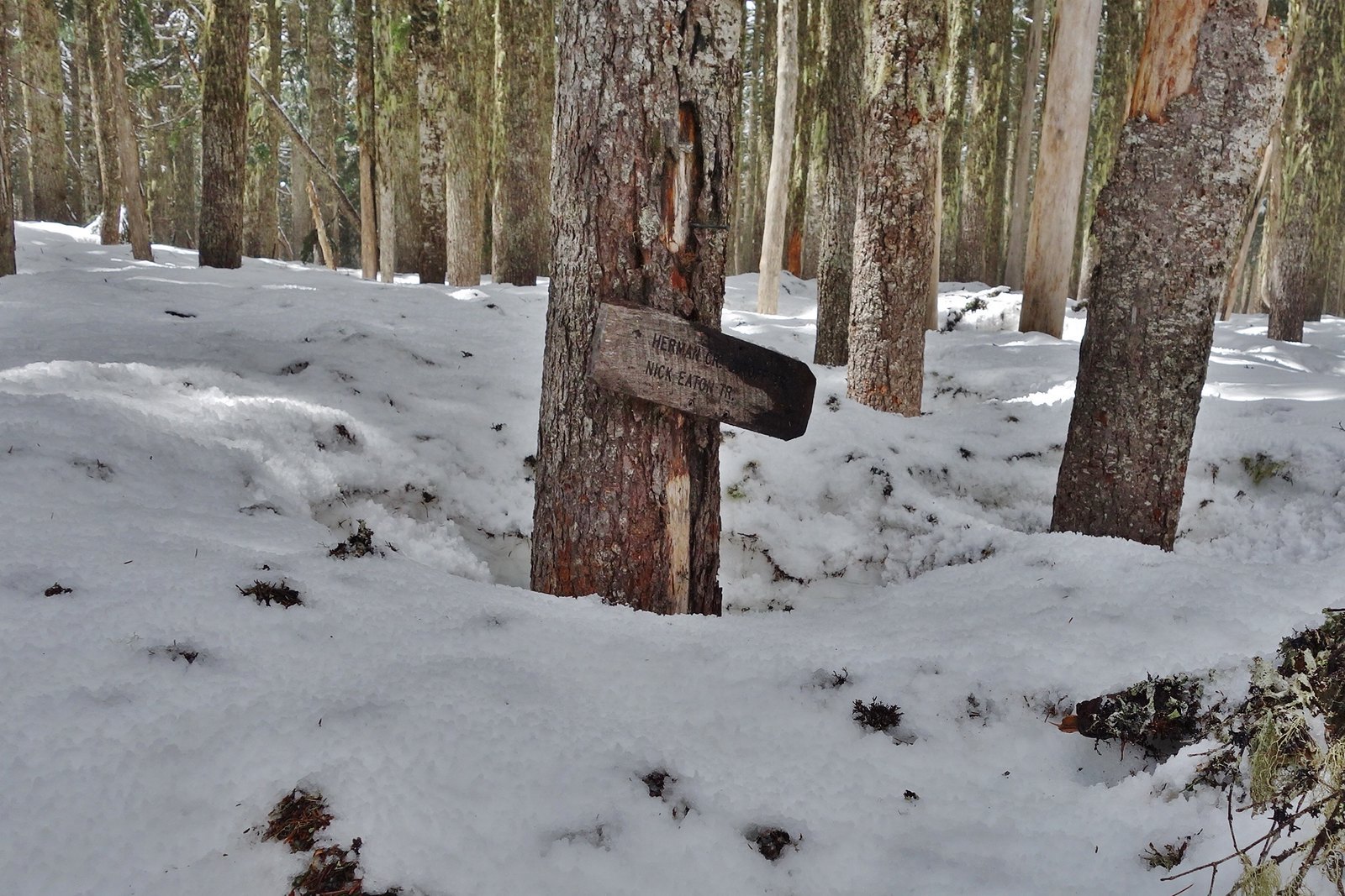
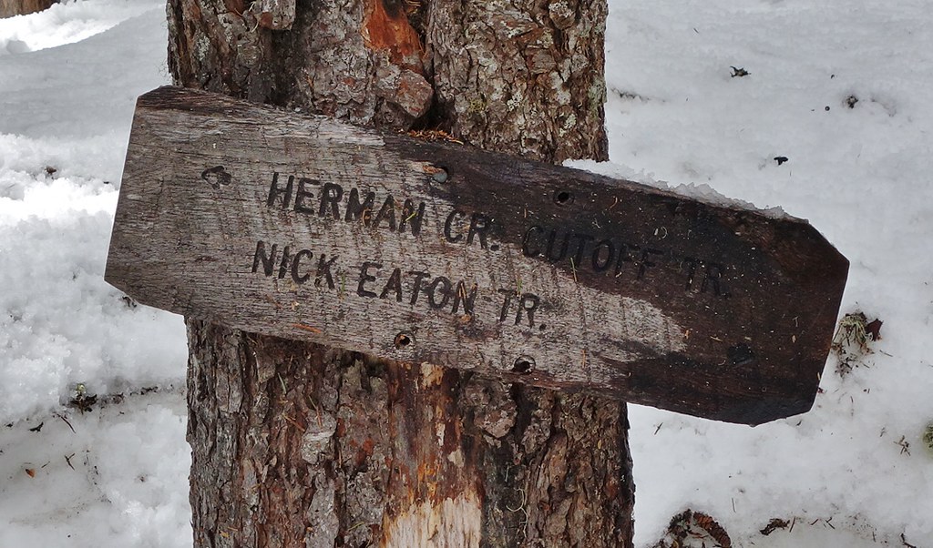
Herman Cr. Tr. junction – 7.3 miles to go.
Tilted camera shot
Better plan on taking your pack off, if you’re wearing one, to get through either of these holes. This has been here since the winter before last.
It was a wet one, but I think I got the wettest from the melting snow dropping out of the trees, although it was only 35°above 4400’. This is always a fun hike. 18 miles/5200’ elevation gain.