Table Mtn from North Bonneville TH - March 19, 2017
Posted: March 19th, 2017, 9:44 pm
Just to see what it was like I parked at the North Bonneville Trailhead across from the dam and hiked to the summit of Table Mtn. I can say conclusively, speaking for everyone who might want to hike to Table Mtn this year, with the exception of Sean Thomas and Joerunner, that starting from N. Bon is not feasible given the additional miles and elevation gain (the added section goes up and down, up and down so much my cumulative elevation gain for this hike was over 4500').
Given the ownership around Table I don't see anything easy that does not involve trespassing. In a previous post I think Don had the best solution, look around for that.
When I got to the top of Table I was the only one on the summit and on this day no one had been there before me or at least I saw no fresh tracks. On the way back, on the PCT near the Heartbreak junction I ran in to a few people, they may have been able to summit but it was around 3:30PM when I saw them and I lost the trail in snow after the Heartbreak climb and just bushwhacked to the summit over snow and through brush. Unusual for such a clear day and tolerable snow not to have more people on Table. I think this is due to the trailhead problem.
A bit away from the N Bon TH a nice view from a clearcut. From left to right Munra, Wauneka and Nesmith Points.
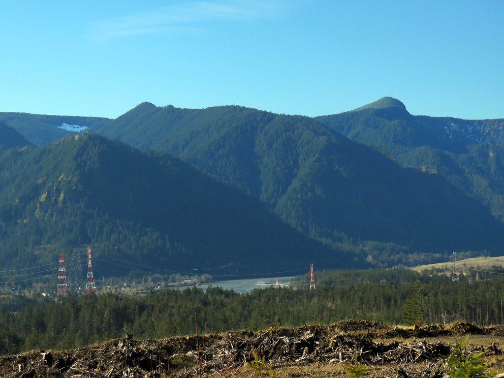 FromPCTNesmith by pauljess999, on Flickr
Gillette Lake is pretty.
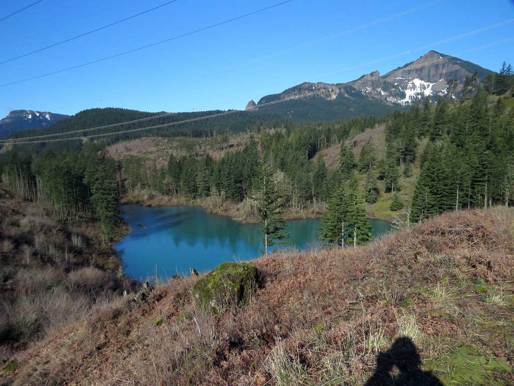 Gillette by pauljess999, on Flickr
All large stream crossings are bridged.
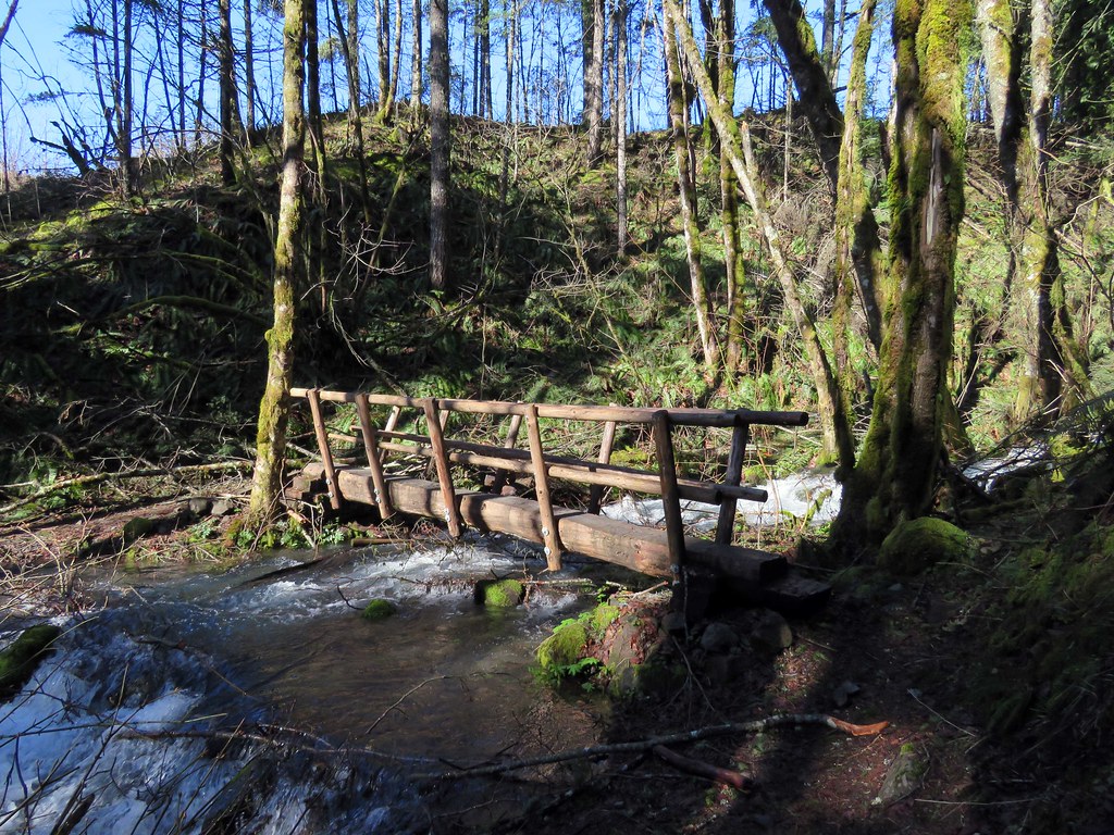 Bridge0 by pauljess999, on Flickr
Greenleaf Creek was high.
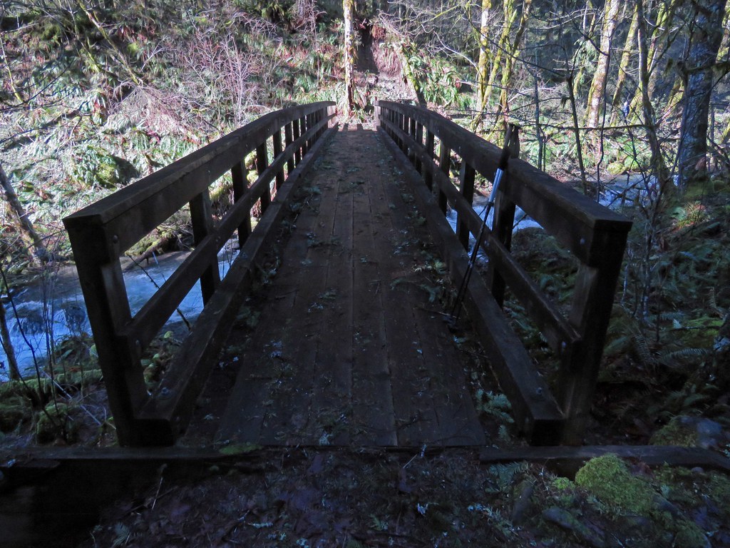 BridgeGreenleaf by pauljess999, on Flickr
Lots of sticks on the PCT added a bit of difficulty
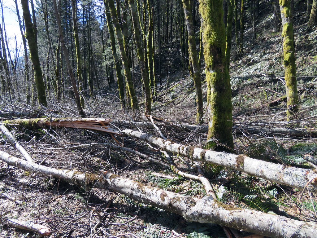 SticksOnTrail by pauljess999, on Flickr
Signboard at the juncction ofr the PCT and Heartbreak
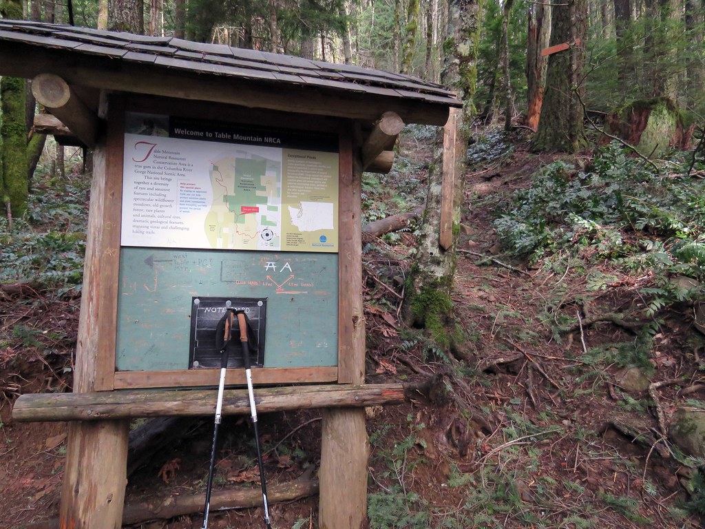 SIgnBoard by pauljess999, on Flickr
I like the little heartbreak signs, steep trail.
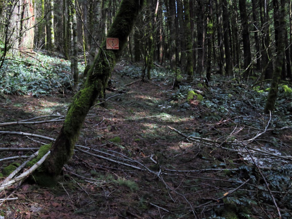 HeartBreak by pauljess999, on Flickr
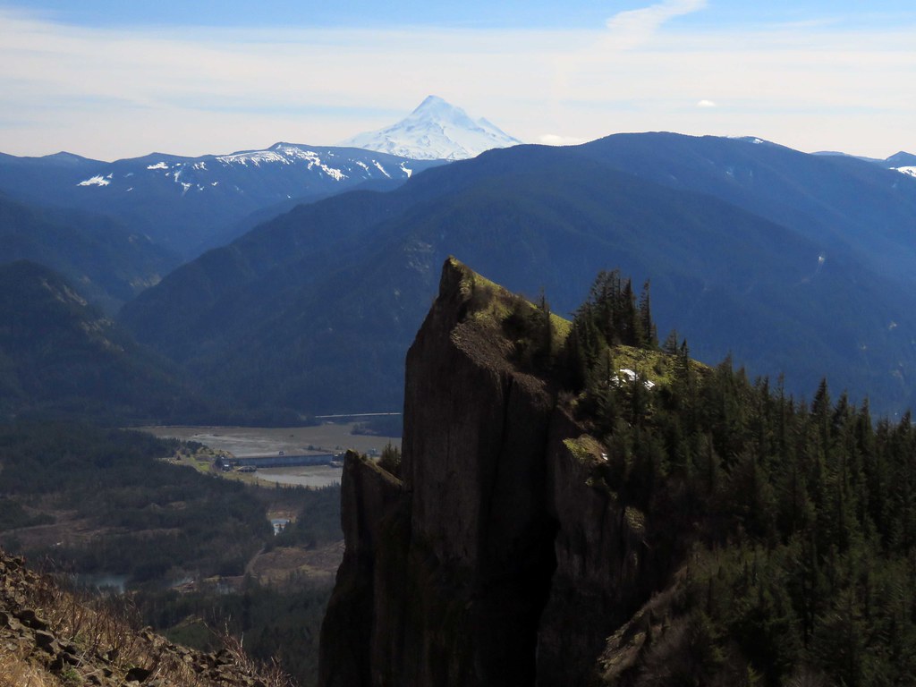
Getting close but hard work lies ahead
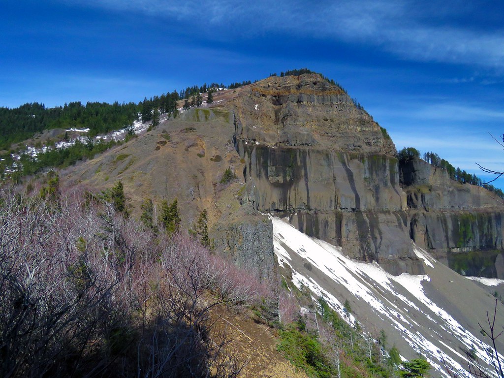 SummitFirstLook by pauljess999, on Flickr
Pointer to the gully I did last week.
 Pointer by pauljess999, on Flickr
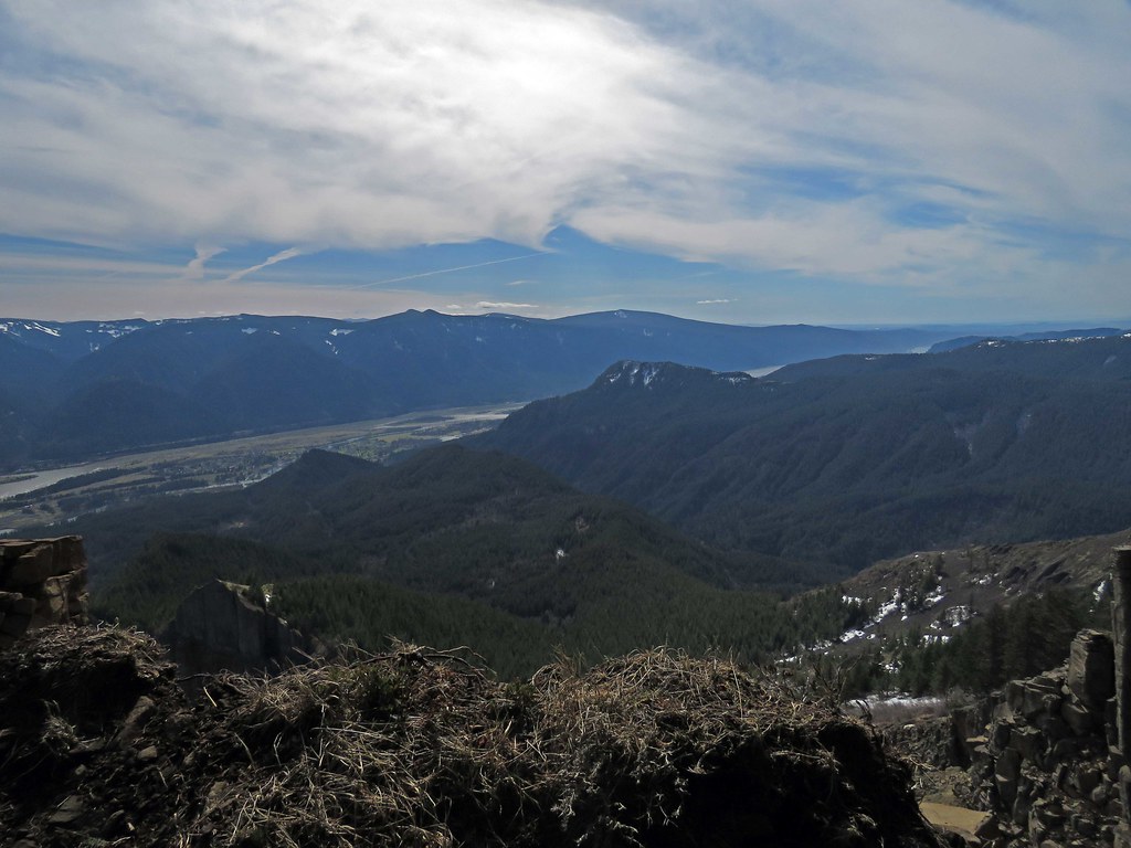
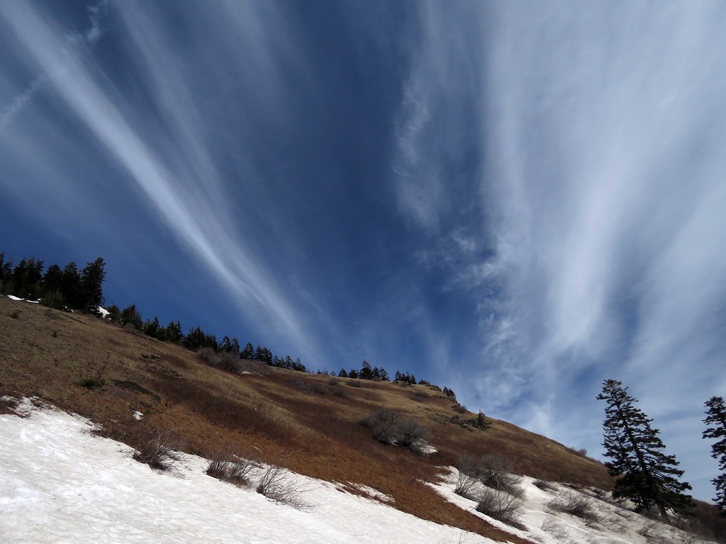
I liked the sky here. The columbia is muddy from spring runoff and recent rainfall.
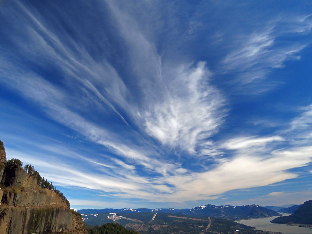 Sky by pauljess999, on Flickr
Going up off trail.
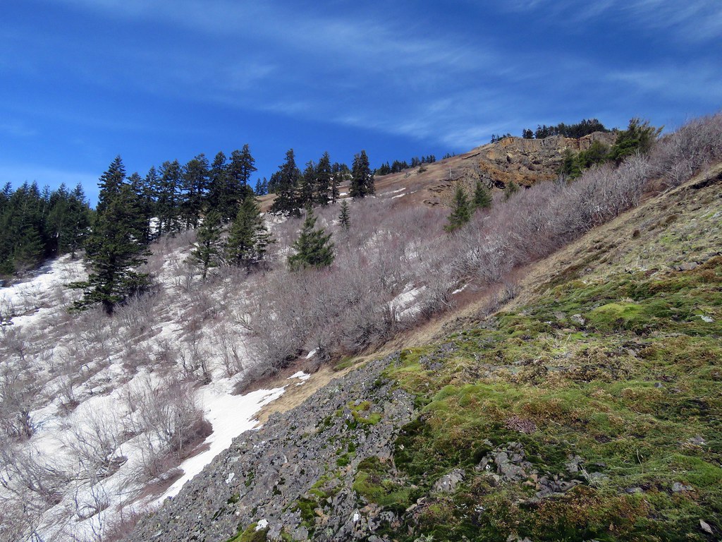 SummitLookGoingUp by pauljess999, on Flickr
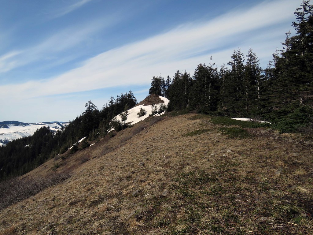
West Ridge route looks fairly clear at this level.
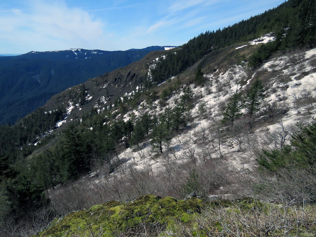 WestRidge by pauljess999, on Flickr
At the summit looking down, I do not like getting close to the edge up there, I don't trust any of it.
 HamiltonCedarAldrich by pauljess999, on Flickr
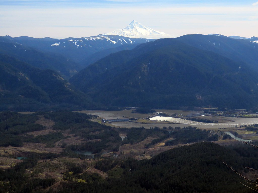 HoodBon by pauljess999, on Flickr
Looking up the summit trail - I did not go that way.
 SummitLook by pauljess999, on Flickr
Big zoom on my canon was able to focus on the North Bon parking lot from the summit of Table - lot is left of the highway in this photo.
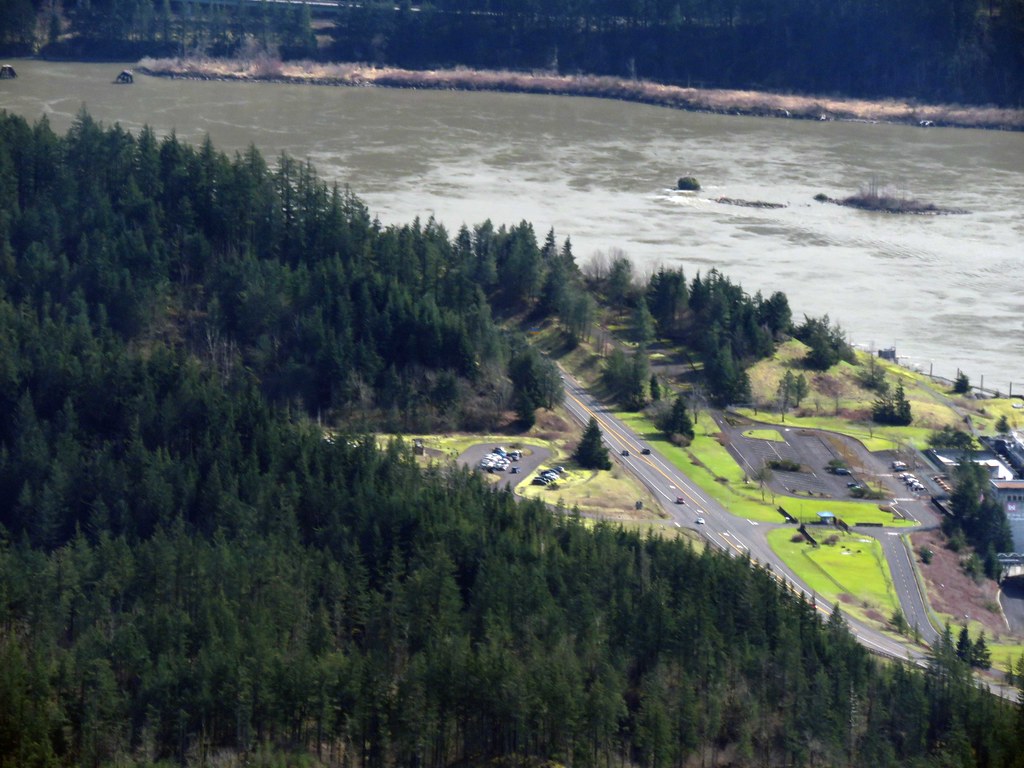 NBonParkingLot by pauljess999, on Flickr
Last look at the summit before heading into the snow.
 LastLook by pauljess999, on Flickr
I'm calling it 15 miles, 4500'+ cumulative elevation gain. Never again will I do this route.
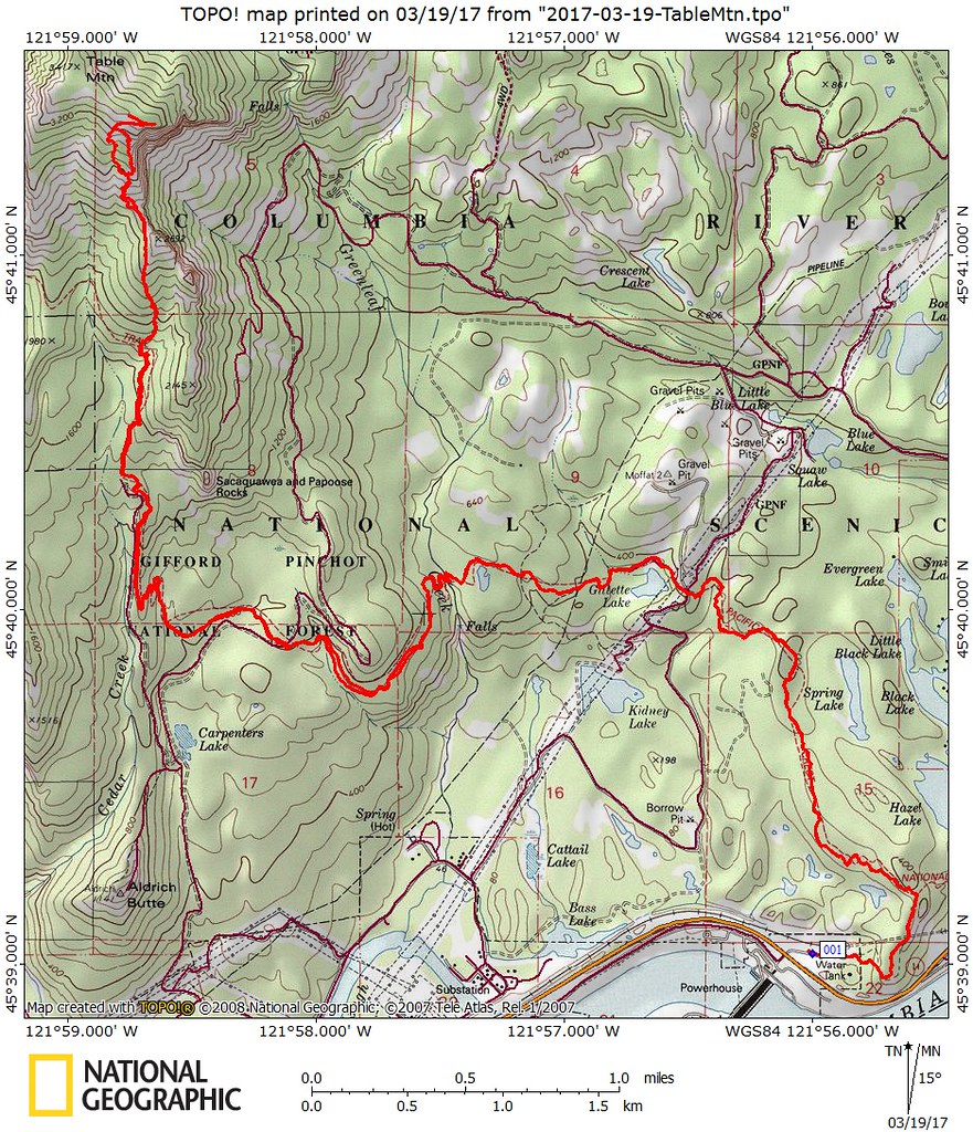 TableMtnMap by pauljess999, on Flickr
Given the ownership around Table I don't see anything easy that does not involve trespassing. In a previous post I think Don had the best solution, look around for that.
When I got to the top of Table I was the only one on the summit and on this day no one had been there before me or at least I saw no fresh tracks. On the way back, on the PCT near the Heartbreak junction I ran in to a few people, they may have been able to summit but it was around 3:30PM when I saw them and I lost the trail in snow after the Heartbreak climb and just bushwhacked to the summit over snow and through brush. Unusual for such a clear day and tolerable snow not to have more people on Table. I think this is due to the trailhead problem.
A bit away from the N Bon TH a nice view from a clearcut. From left to right Munra, Wauneka and Nesmith Points.
FromPCTNesmith by pauljess999, on FlickrGillette Lake is pretty.
Gillette by pauljess999, on FlickrAll large stream crossings are bridged.
Bridge0 by pauljess999, on FlickrGreenleaf Creek was high.
BridgeGreenleaf by pauljess999, on FlickrLots of sticks on the PCT added a bit of difficulty
SticksOnTrail by pauljess999, on FlickrSignboard at the juncction ofr the PCT and Heartbreak
SIgnBoard by pauljess999, on FlickrI like the little heartbreak signs, steep trail.
HeartBreak by pauljess999, on FlickrGetting close but hard work lies ahead
SummitFirstLook by pauljess999, on FlickrPointer to the gully I did last week.
Pointer by pauljess999, on FlickrI liked the sky here. The columbia is muddy from spring runoff and recent rainfall.
Sky by pauljess999, on FlickrGoing up off trail.
SummitLookGoingUp by pauljess999, on FlickrWest Ridge route looks fairly clear at this level.
WestRidge by pauljess999, on FlickrAt the summit looking down, I do not like getting close to the edge up there, I don't trust any of it.
HamiltonCedarAldrich by pauljess999, on FlickrHoodBon by pauljess999, on FlickrLooking up the summit trail - I did not go that way.
SummitLook by pauljess999, on FlickrBig zoom on my canon was able to focus on the North Bon parking lot from the summit of Table - lot is left of the highway in this photo.
NBonParkingLot by pauljess999, on FlickrLast look at the summit before heading into the snow.
LastLook by pauljess999, on FlickrI'm calling it 15 miles, 4500'+ cumulative elevation gain. Never again will I do this route.
TableMtnMap by pauljess999, on Flickr