Hi Paul,pablo wrote:Hey Don, neat, where did you park on this outing?Don Nelsen wrote:Well, there are ways to do this. Here is a GPS track from about five years ago of a loop I did. Lots of options to summit Hamilton but that was not my goal. There were lots of possibilities as I traversed the east flank of the peak though they were all very steep. I could not do the south face without serious tech gear but it should be doable given that.
DN
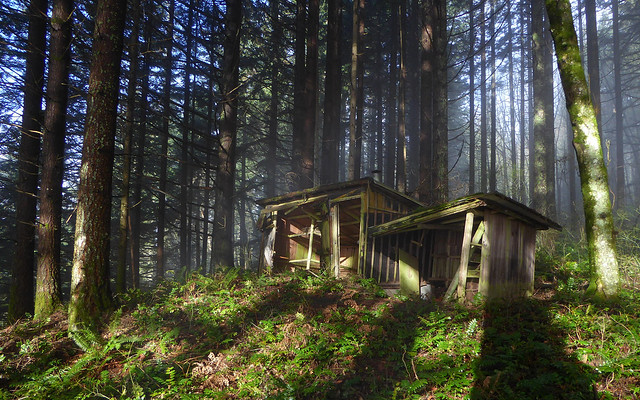
I think the easiest route would be to park at Beacon Rock then bushwhack up to the abandoned cabin beyond the powerlines then on to the road to Hardy Creek Trail and go either way.
--Paul

I parked just north of where the map says "Mobil Home Park" and went SSE clockwise along the power line route and up the talus and moss-covered area to the cliffs. There were some really difficult sections but nothing you couldn't do with ease!! The down climb back to Hamilton Creek was really steep but again, a serious off-trail trekker can do this. (Fording Hamilton Creek this time of year would be a serious problem though.) I did this hike with Dan Huntington on 9/19 2011.
dn