Dark Creek Hike (Dark Meadow Trail) | Dark Divide Area, WA
Posted: July 30th, 2016, 3:49 am
The Gifford Pinchot National Forest website says this about this trail:
Opening Photo:

Majestic old growth along the Dark Meadow Trail.
The Dark Divide is located right between Mount St. Helens and Mount Adams, north of Indian Heaven, and south of Highway 12 and Mount Rainier. The Boundary Trail runs east-west, linking the two big volcanoes, Mount St. Helens and Mount Adams, together.
I wanted to scout this trail out as a possible route to the Juniper Ridge Trail and for a college research project I am doing at Oklahoma Christian University (about the Dark Divide). It is extremely rutted (caused by motorcycles and erosion). Washington Trails Association (WTA) says these trails were not built to motorized standards, and combined with the loose pumice soils and fragile meadows, these trails get extremely rutted. WTA recommends wilderness preservation for this area for its old growth, subalpine meadows, and craggy peaks. It is the second most rugged area in the Gifford Pinchot after the Goat Rocks, (and far more rugged than anywhere in the Mt. Hood National Forest aside of, perhaps, the mountain itself).
There are some major washouts along Canyon Creek and the Cispus River, meaning this is the northmost trailhead on 23 that can be accessed from the south via Trout Lake.
There are also some smaller washouts on FR-23 after FR-2329 (the turnoff for Takhlakh Lake and Killen Creek). There are also some washouts on FR-2329 just past Killen Creek TH. WTA reports that the road between Takhlakh Lake and Killen Creek TH is extremely rough.

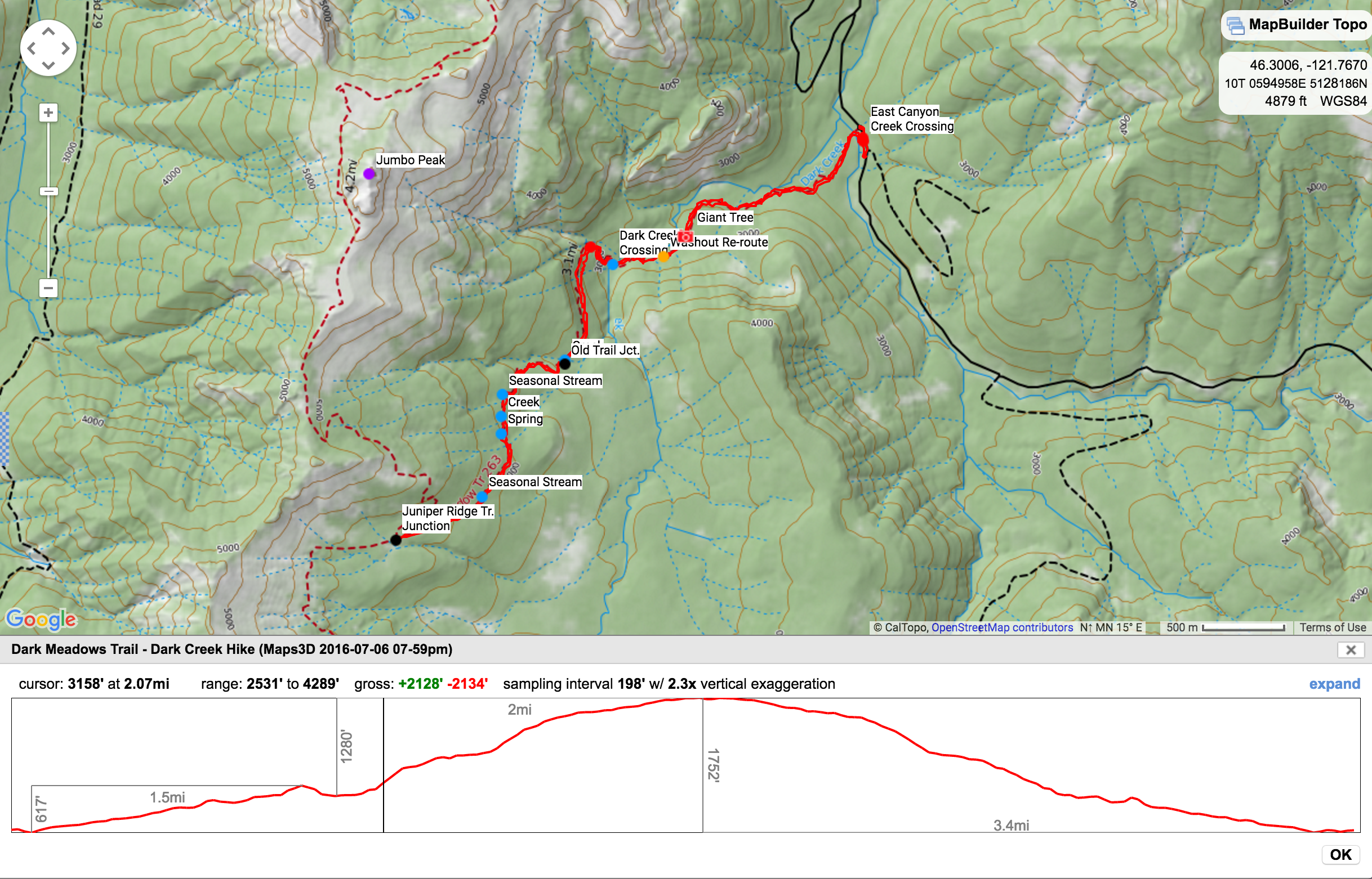
CalTopo Map of our hike.
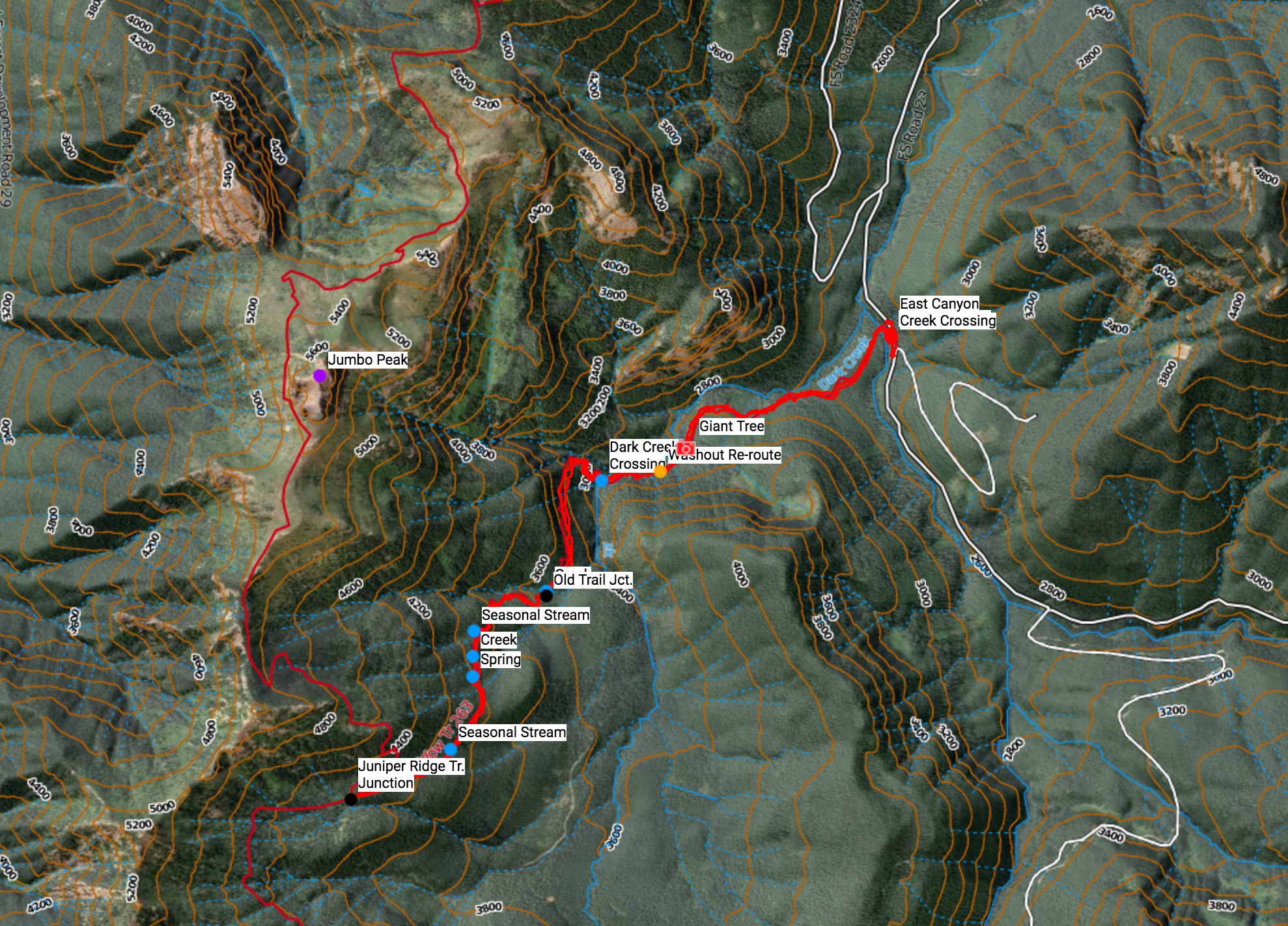
Satellite and relief view.
Small washout on Road 23.

Another washout on FR-23.
FR-23 closed just past the unofficial Dark Meadow Trailhead.
The washout on FR-23.
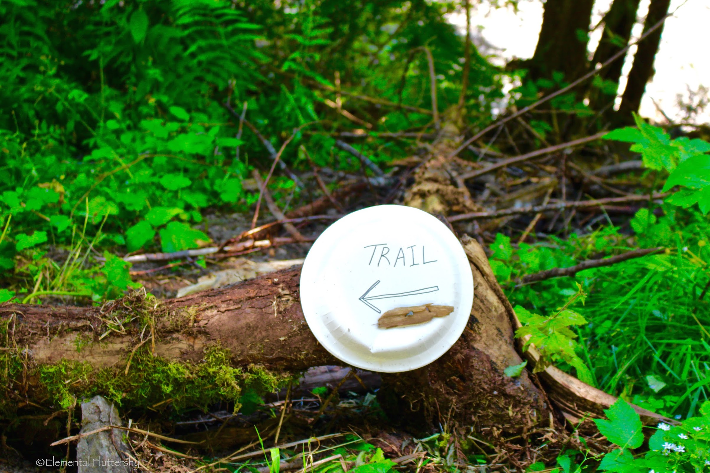
A paper plate sign showing where the trail re-route begins. The old trail a couple feet ahead was washed out right along with the road.

Foxglove right alongside the road and by the trailhead.
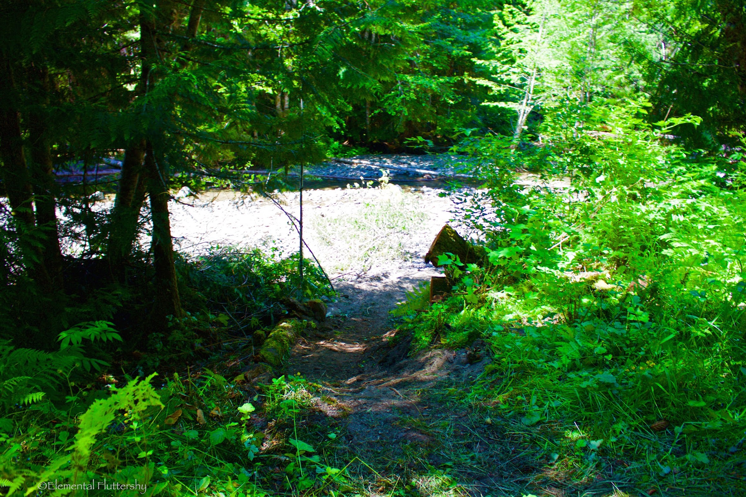
This is the re-routed trail down to Canyon Creek.
The old big log was washed out, it seems. The trail now uses this smaller, wobbly log. Good balance is needed, but a wet crossing is also just fine.
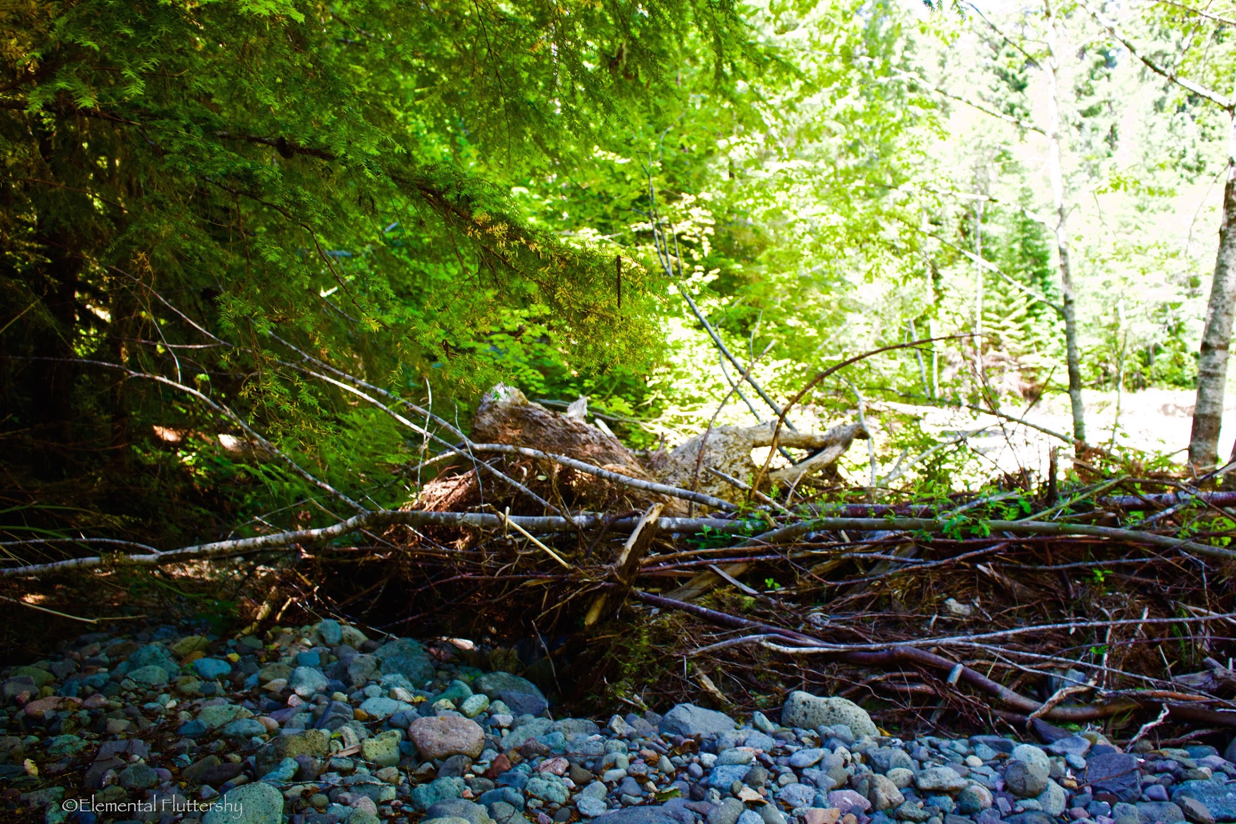
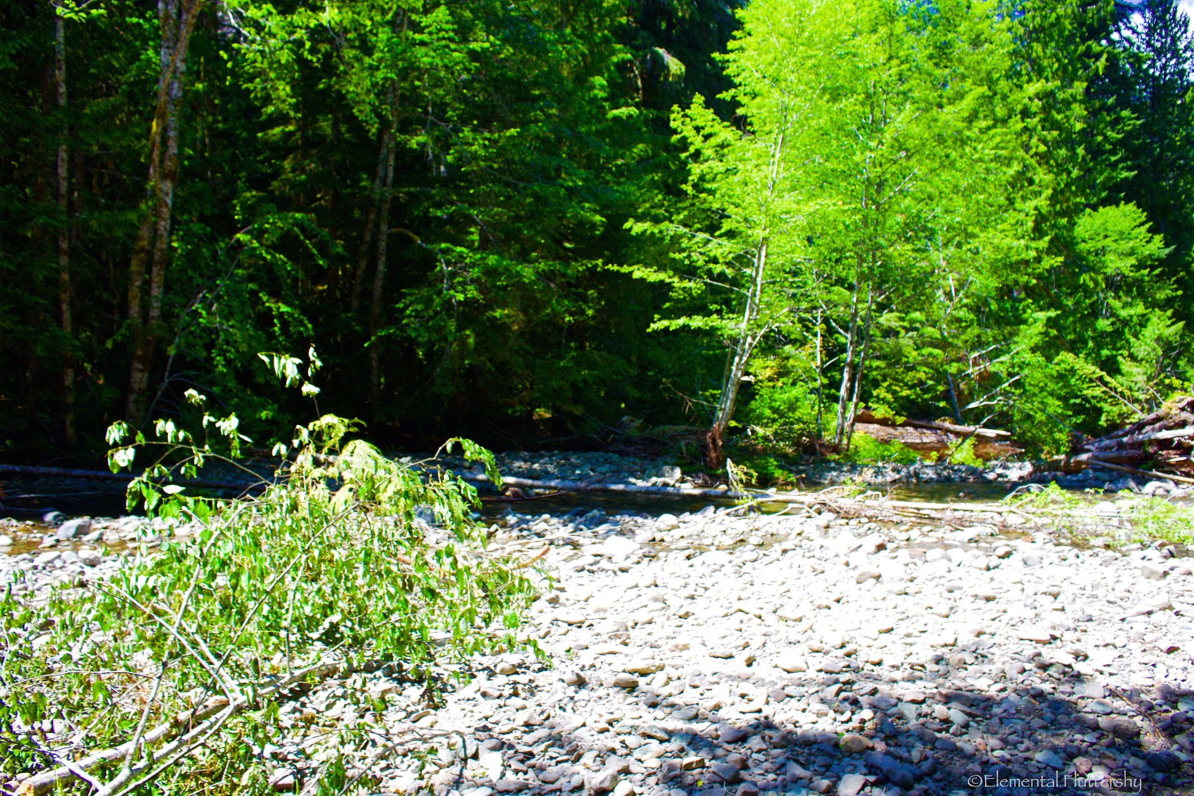
A little bit of debris to cross on the other side of the creek.
You want to turn right and walk along the edge of the creek to meet up with the old trail.

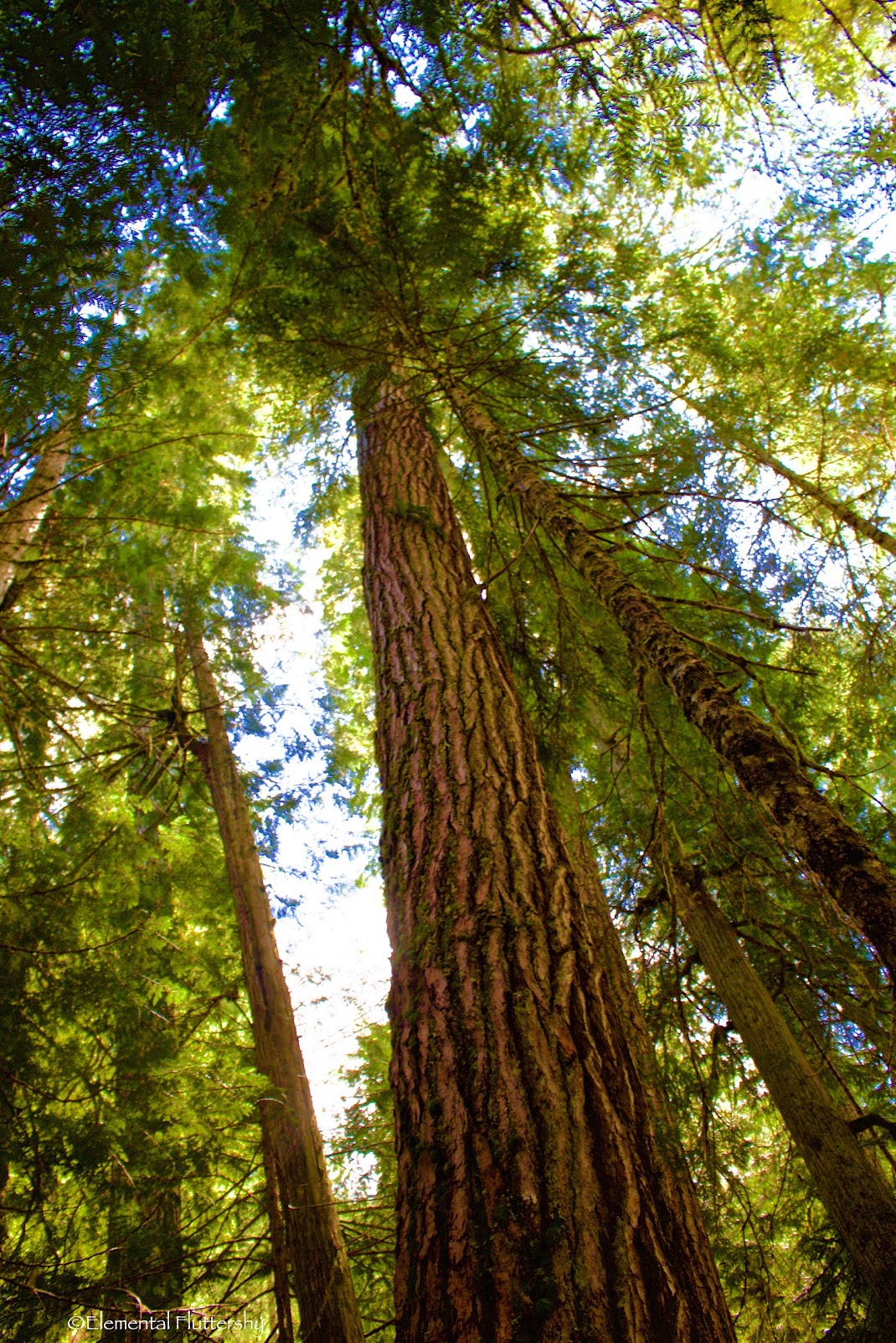
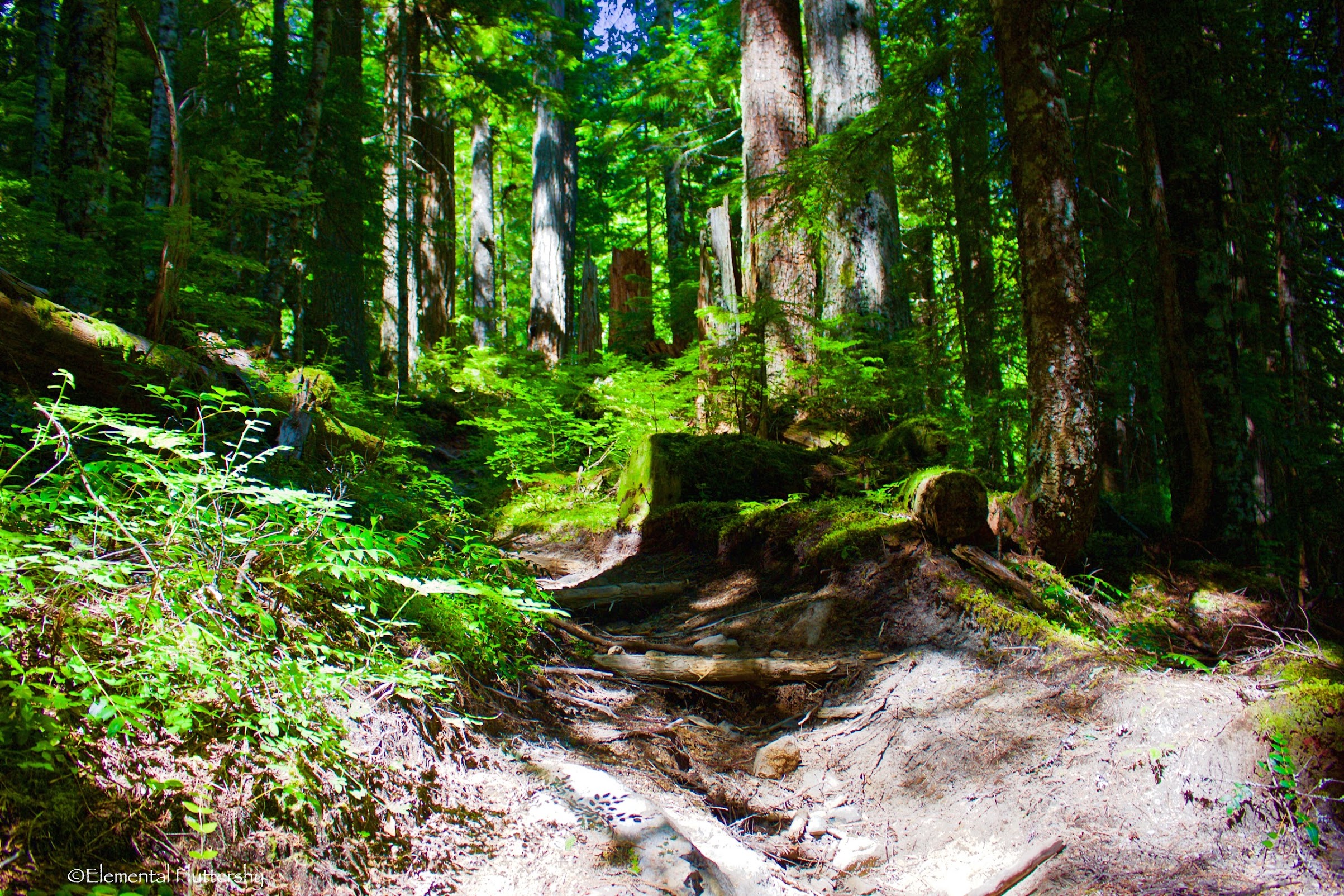
Soon after following an old roadbed (converted to trail), you enter a nice, semi-open forest full of magnificent old growth.
A giant tree around 6-7 feet in diameter! So glad that at least some of these giant trees were spared from logging.
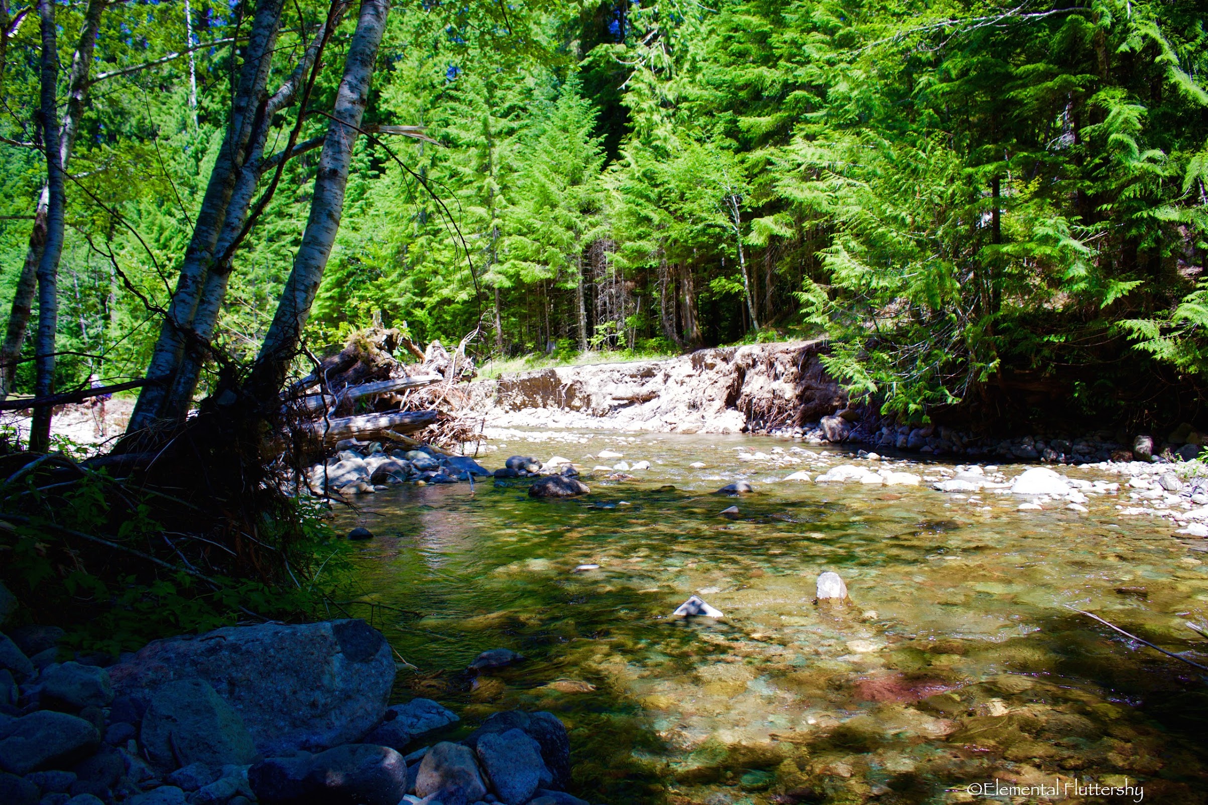
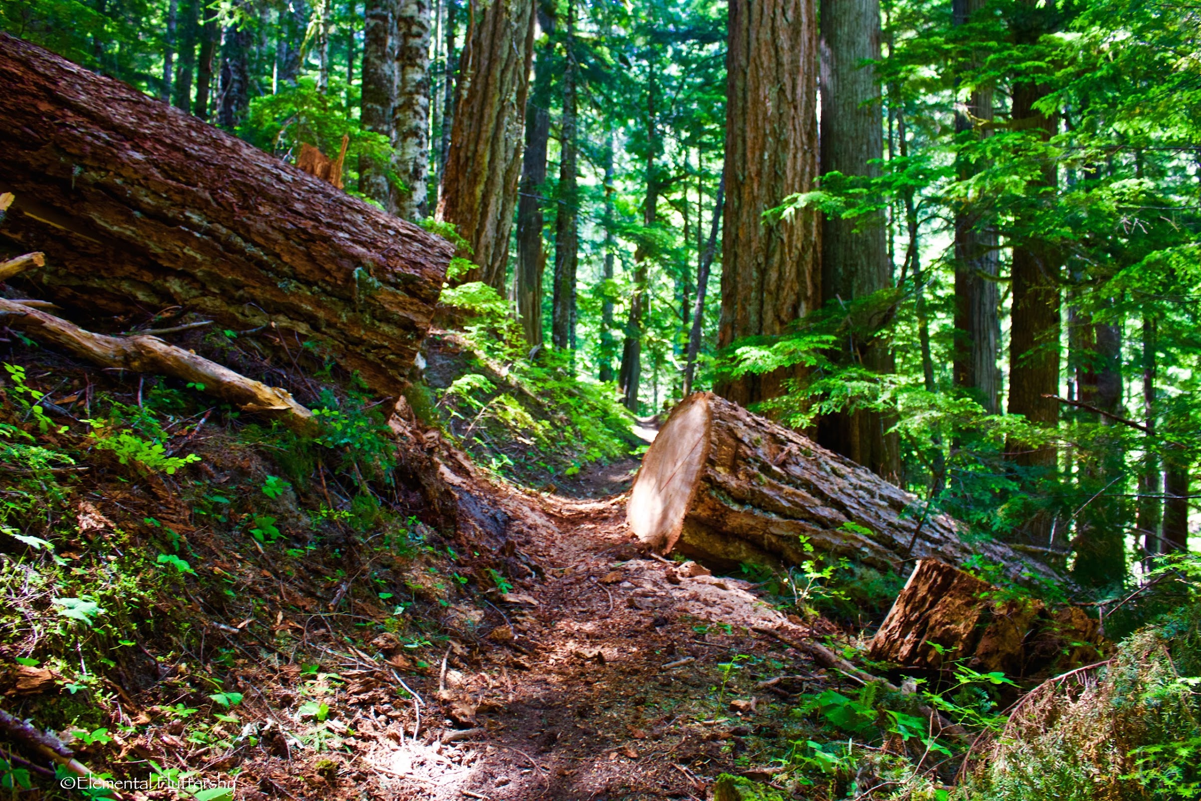
Another washout, this time on the trail. Dark Creek ravaged the hillside here for at least 0.7 miles along the trail.
It climbed over and around several washouts until reaching the crossing of Dark Creek.
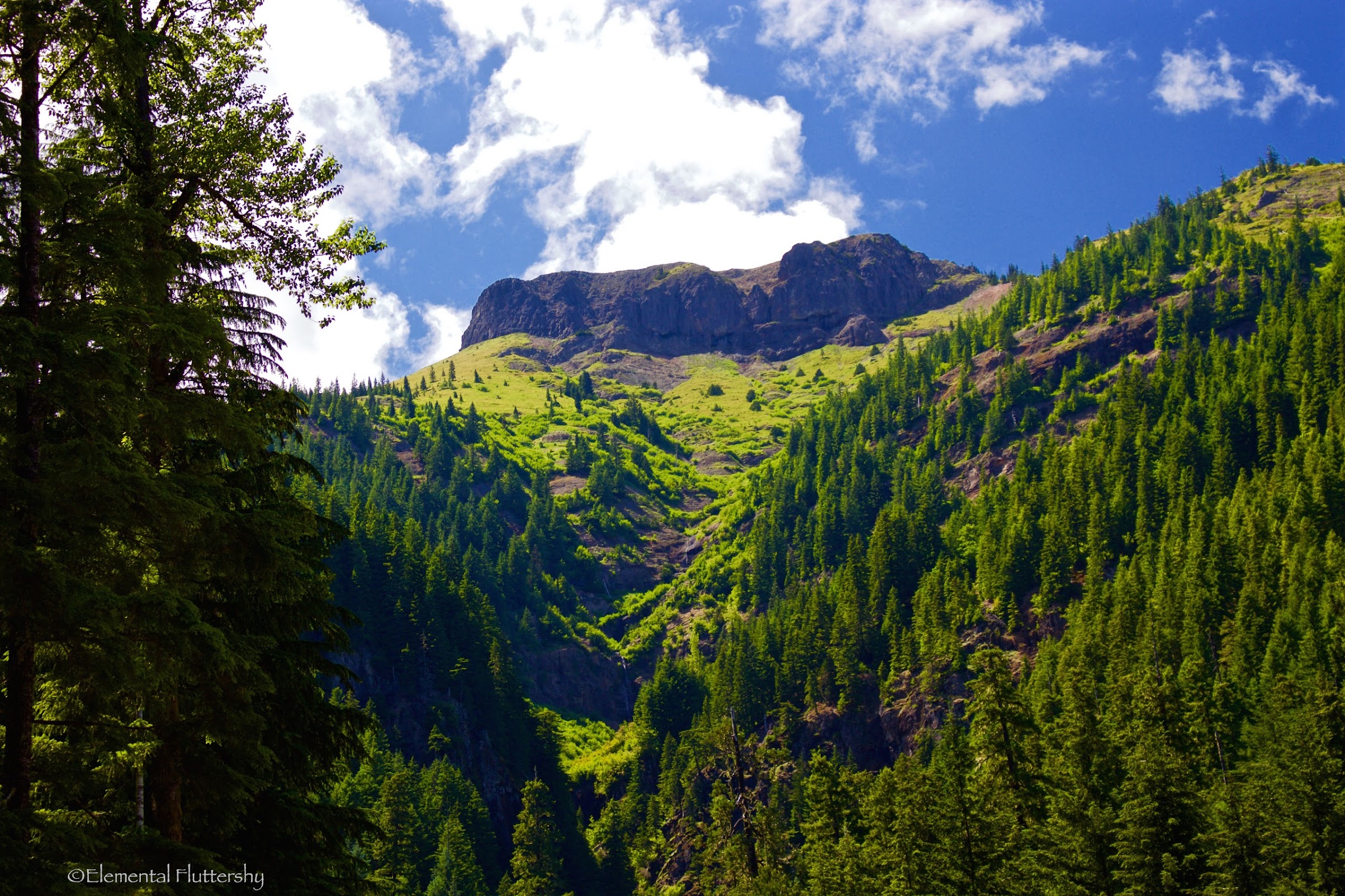
Looking up to Jumbo Peak–one of the major peaks in the Dark Divide, and Juniper Ridge (quite a popular hike).
Recently logged out.

At 1.5 miles, you reach the crossing of Dark Creek. Its not too challenging, but the last jump can be tricky.
After crossing Dark Creek, the trail starts a very steep ascent of Juniper Ridge.
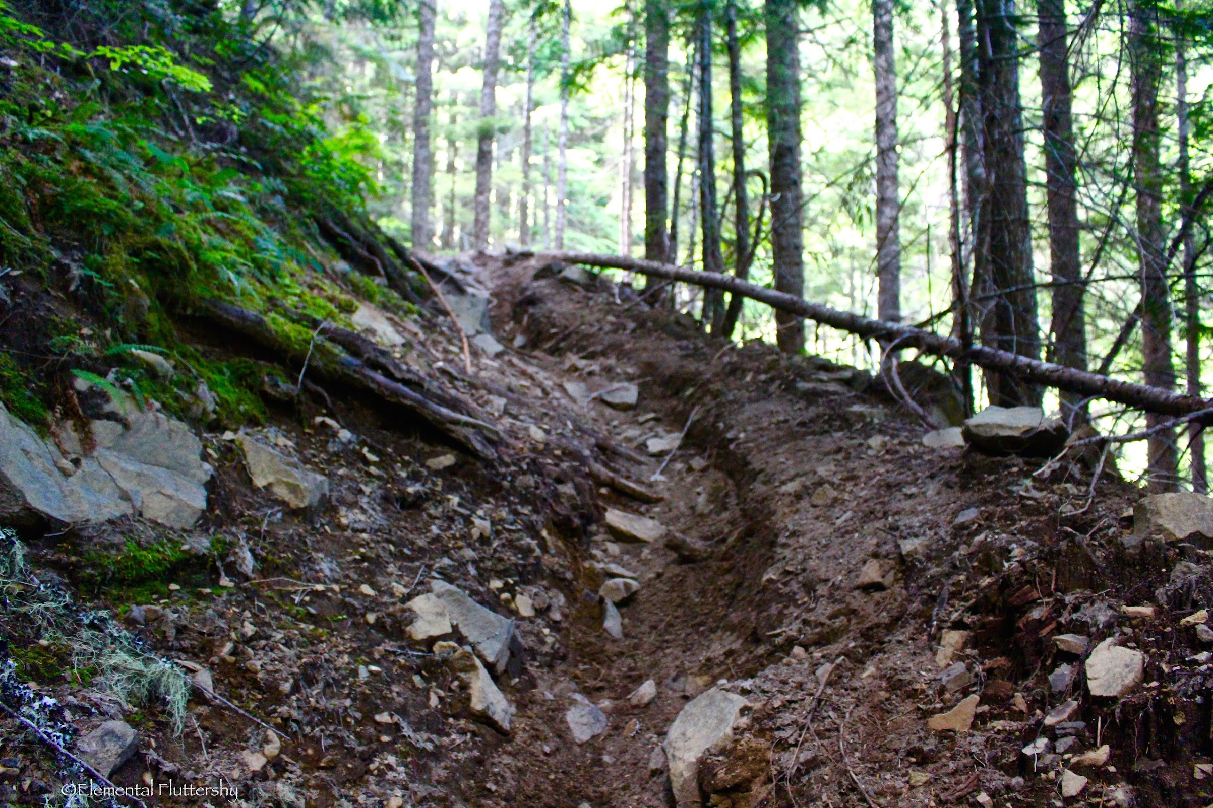
It is extremely rutted out here (~3 feet deep in places) and hard walking.
Once again, the trail entered another magnificent grove of old growth trees. It was breathtaking!
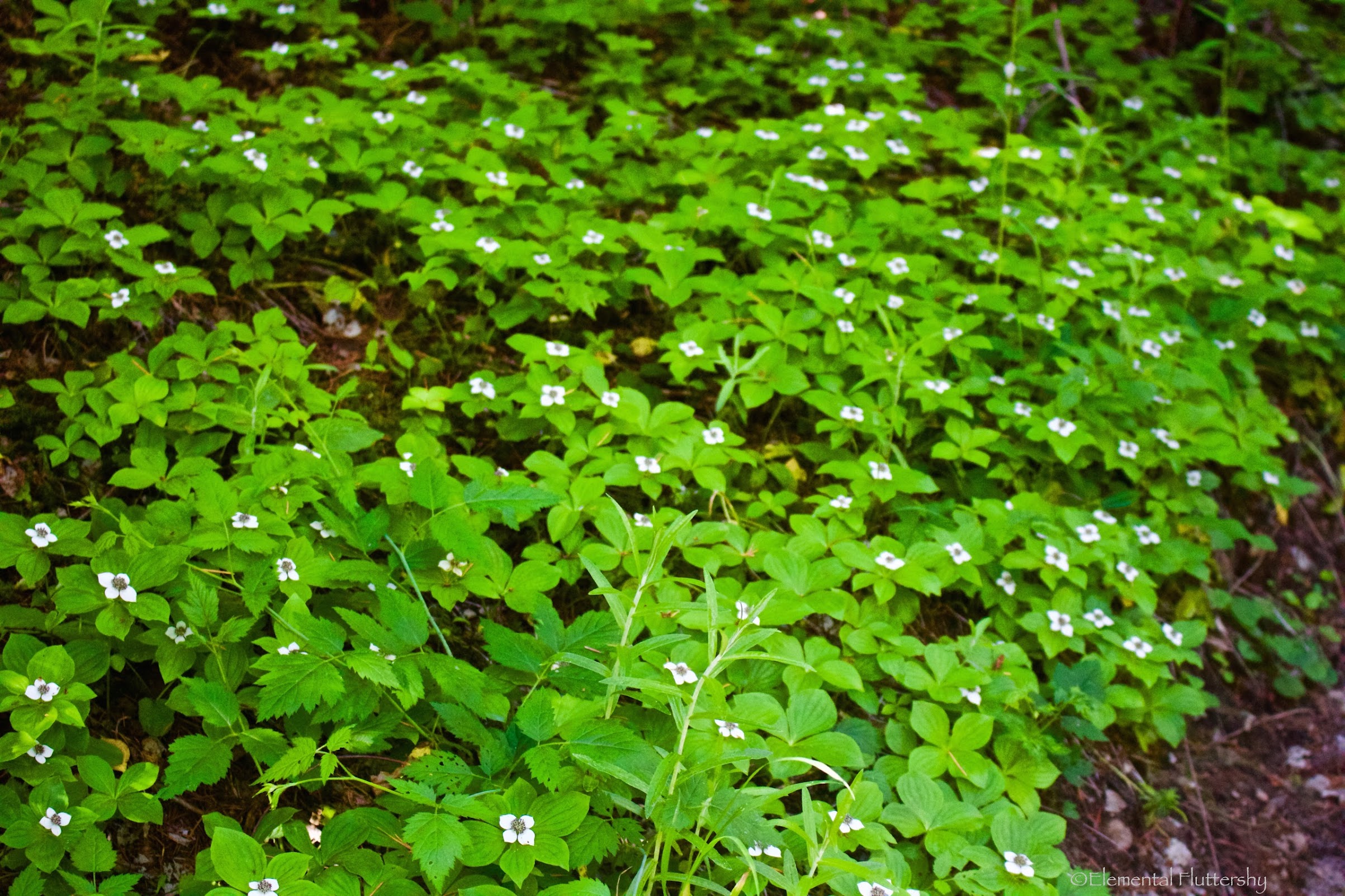
A nice spread of wildflowers here!
At 2.8 miles (after some backtracking down by the creek), I came to a junction with an unmarked trail branching off to the left. This trail leads to Road 2325, which would shave off a few miles and quite a bit of elevation gain from the hike, but the road has since washed out this year (and might not be repaired, as no official trails connect up with this road).
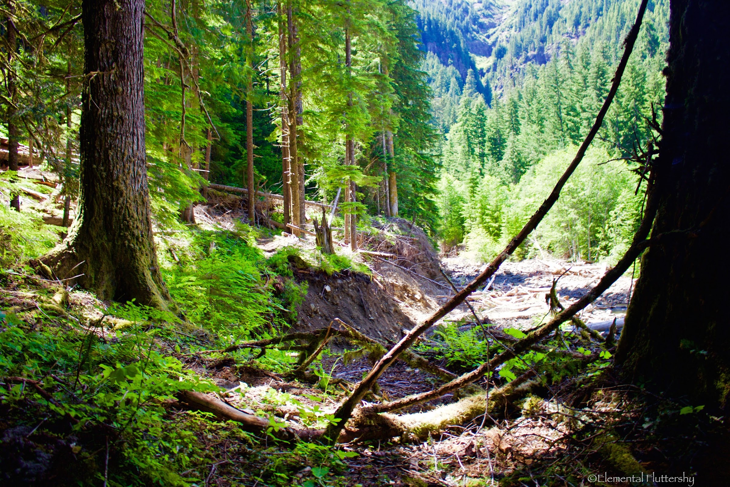
just passed the junction, the trail enters an old clear-cut. It is nice second growth now, having an appearance of a "pseudo" subalpine forest.
After this, the trail crosses a myriad of streams, both large and small.

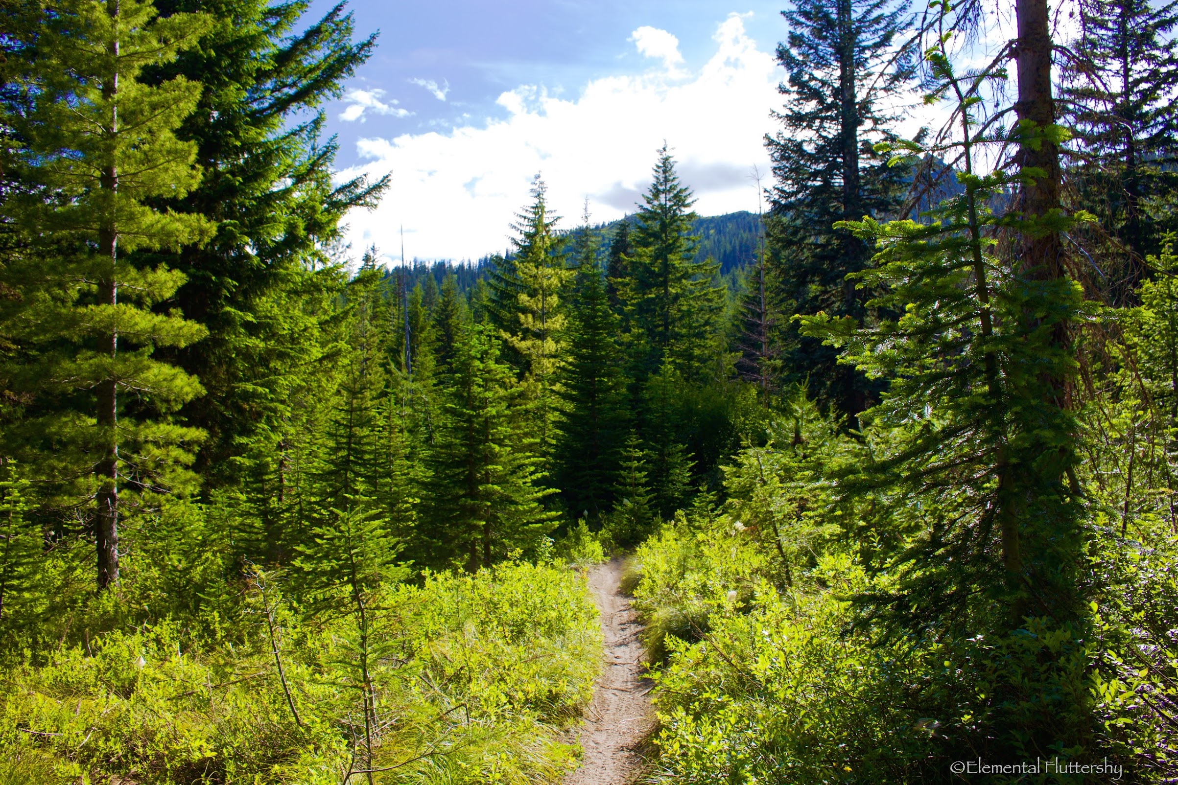
Hiking through a nice forest setting.
Wild roses!
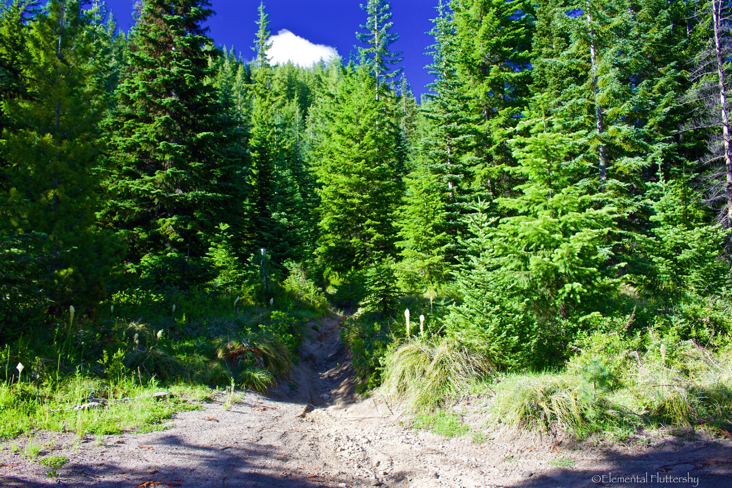
After some climbing, muddy sections, and stream crossings, the trail started to open up.
Our stopping point for the day was the junction with the Juniper Ridge Trail.
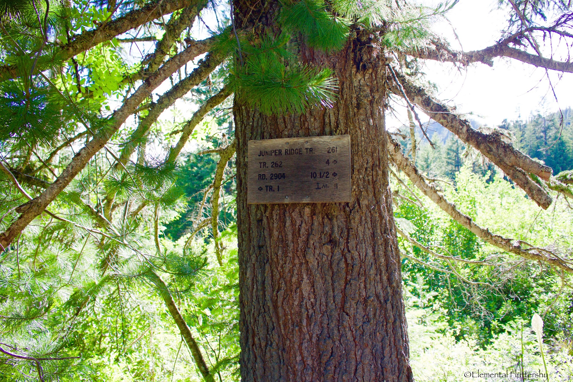
Trail sign.
Facing the Dark Meadows Trail, where I hiked up.

Looking north at the Juniper Ridge Trail–the route to Jumbo Peak and Sunrise Peak.
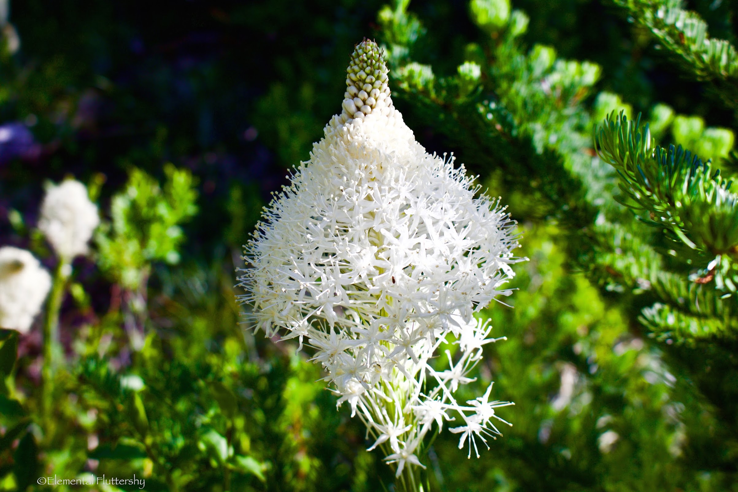
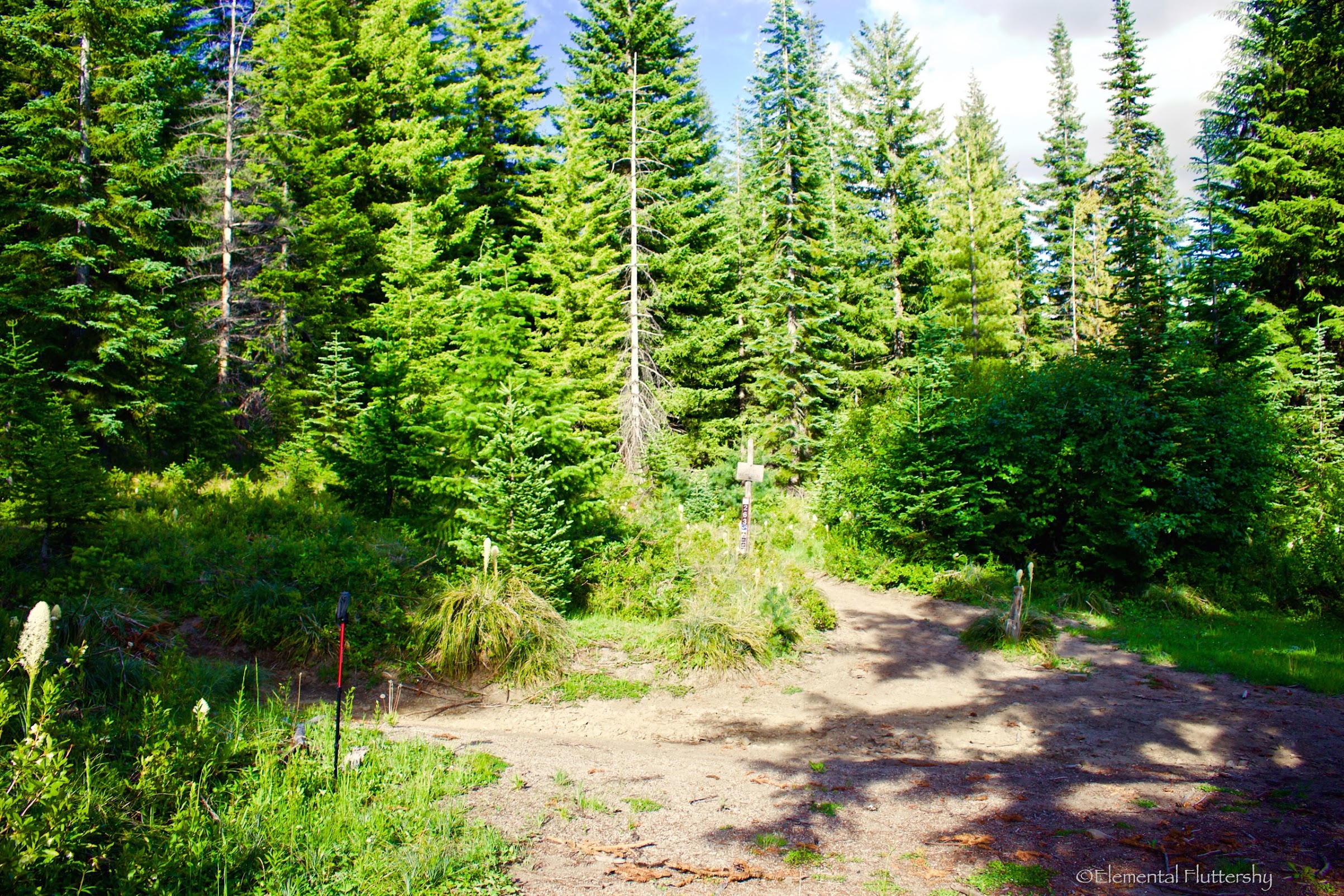
Lots of beargrass at the junction!
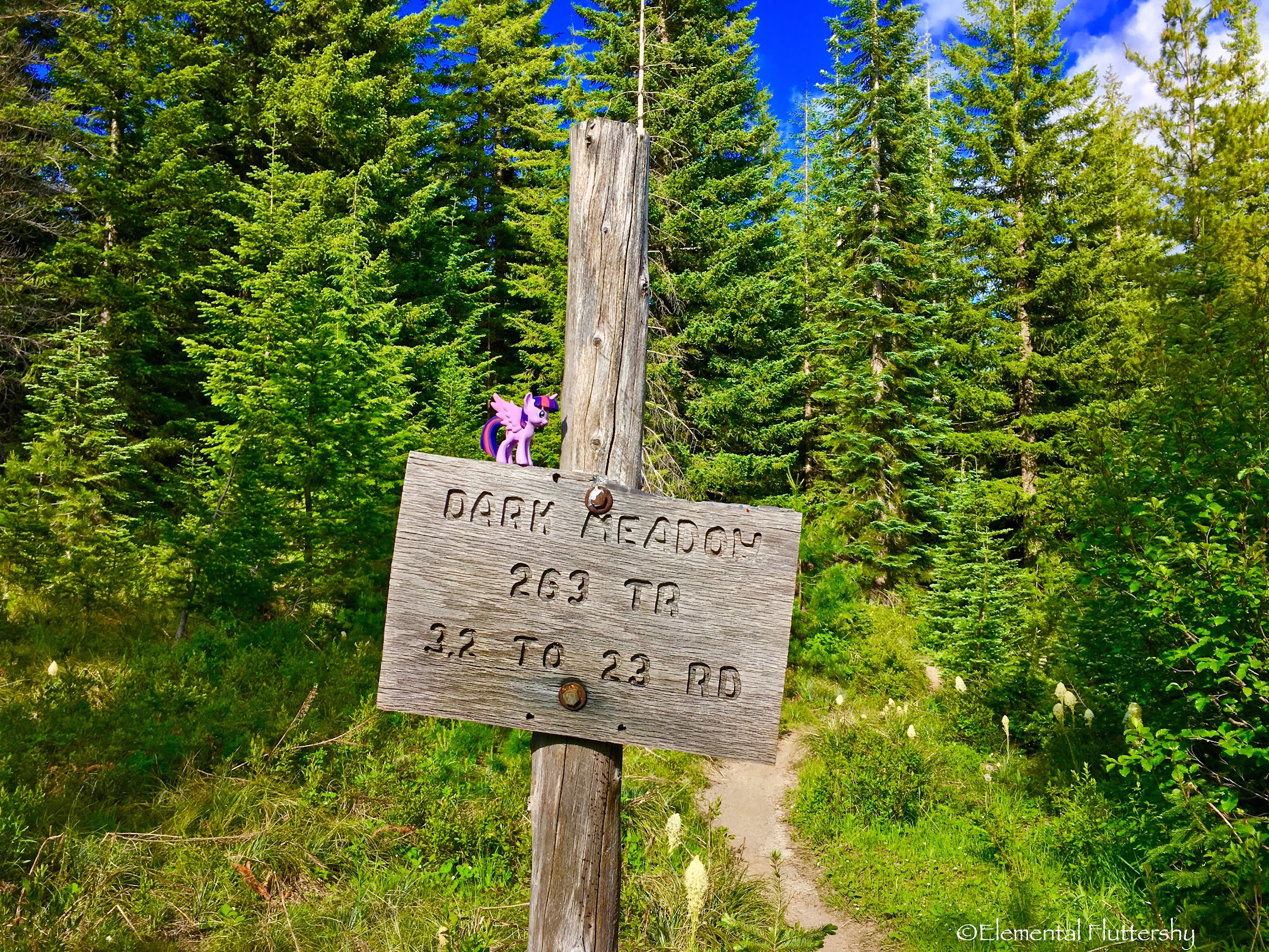
Twilight Sparkle at the junction for EQD's annual #PoniesAroundtheWorld event.
Interactive CalTopo Map Link here.
http://gpsfly.org/a/6177
"Dark Meadow Trail begins on Forest Road 23, and then crosses East Canyon Creek. The trail passes through Douglas fir and Western Hemlock, before crossing Dark Creek (at mile 1.5), and climbing steeply toward the Dark Meadows area and Juniper Ridge Trail #261.
This trail is named after John Dark who built a cabin in the meadows in 1895 while prospecting in the area. Take a look at the huge boulders in Dark Creek as you're hiking. These are excellent examples of what melting glaciers can leave behind."
Opening Photo:
Majestic old growth along the Dark Meadow Trail.
The Dark Divide is located right between Mount St. Helens and Mount Adams, north of Indian Heaven, and south of Highway 12 and Mount Rainier. The Boundary Trail runs east-west, linking the two big volcanoes, Mount St. Helens and Mount Adams, together.
I wanted to scout this trail out as a possible route to the Juniper Ridge Trail and for a college research project I am doing at Oklahoma Christian University (about the Dark Divide). It is extremely rutted (caused by motorcycles and erosion). Washington Trails Association (WTA) says these trails were not built to motorized standards, and combined with the loose pumice soils and fragile meadows, these trails get extremely rutted. WTA recommends wilderness preservation for this area for its old growth, subalpine meadows, and craggy peaks. It is the second most rugged area in the Gifford Pinchot after the Goat Rocks, (and far more rugged than anywhere in the Mt. Hood National Forest aside of, perhaps, the mountain itself).
There are some major washouts along Canyon Creek and the Cispus River, meaning this is the northmost trailhead on 23 that can be accessed from the south via Trout Lake.
There are also some smaller washouts on FR-23 after FR-2329 (the turnoff for Takhlakh Lake and Killen Creek). There are also some washouts on FR-2329 just past Killen Creek TH. WTA reports that the road between Takhlakh Lake and Killen Creek TH is extremely rough.
CalTopo Map of our hike.
Satellite and relief view.
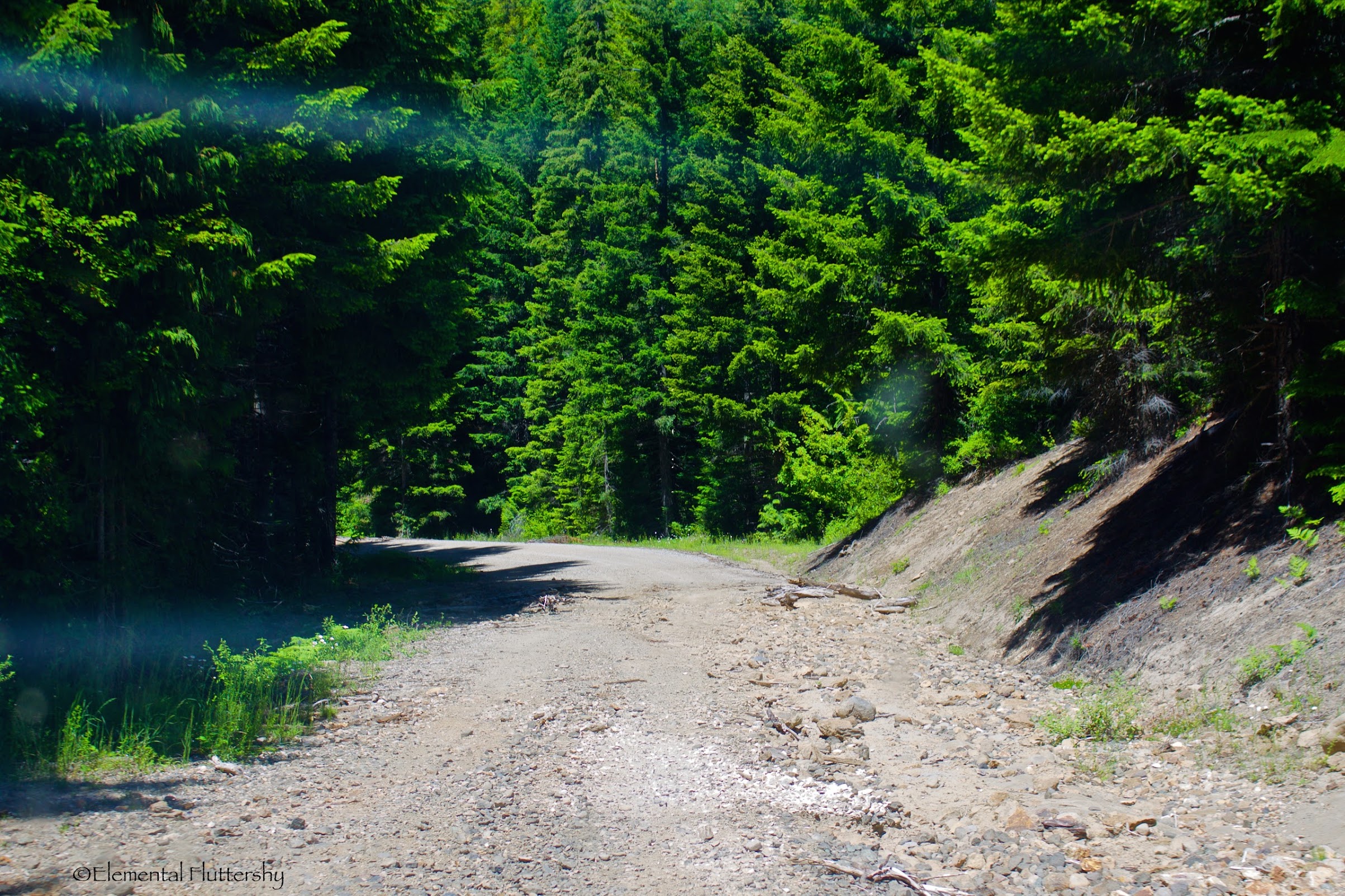
Small washout on Road 23.
Another washout on FR-23.
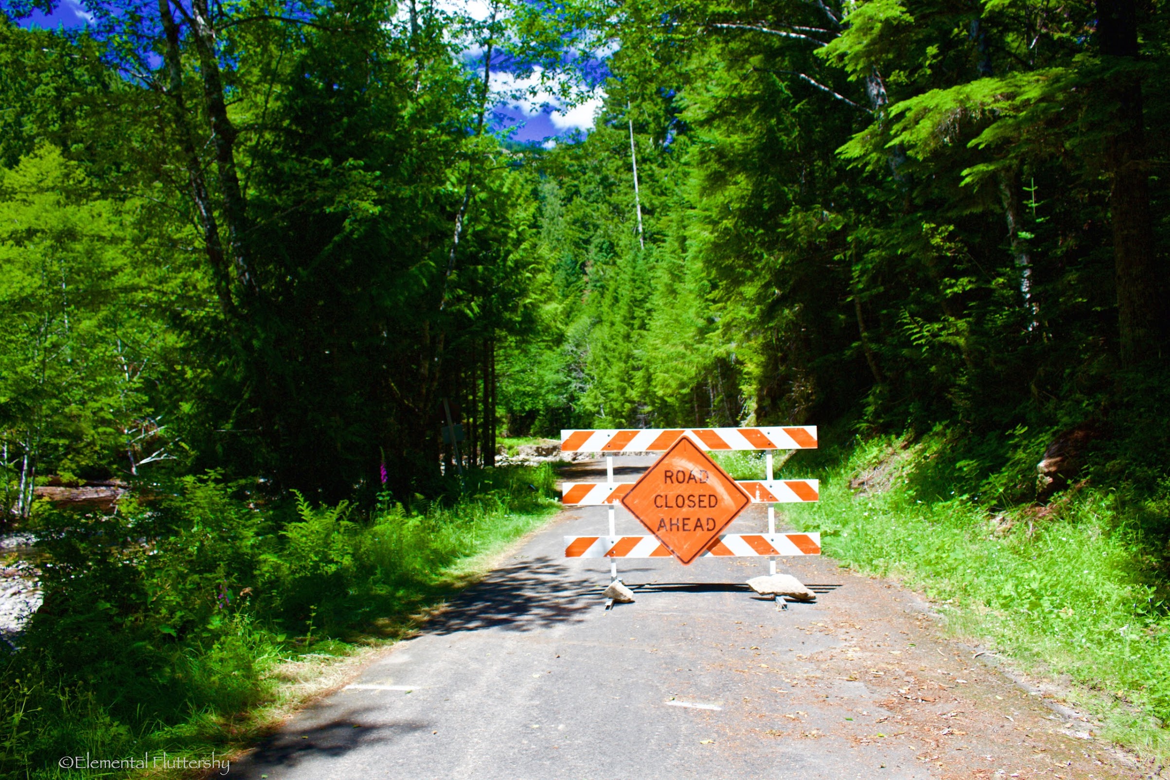
FR-23 closed just past the unofficial Dark Meadow Trailhead.
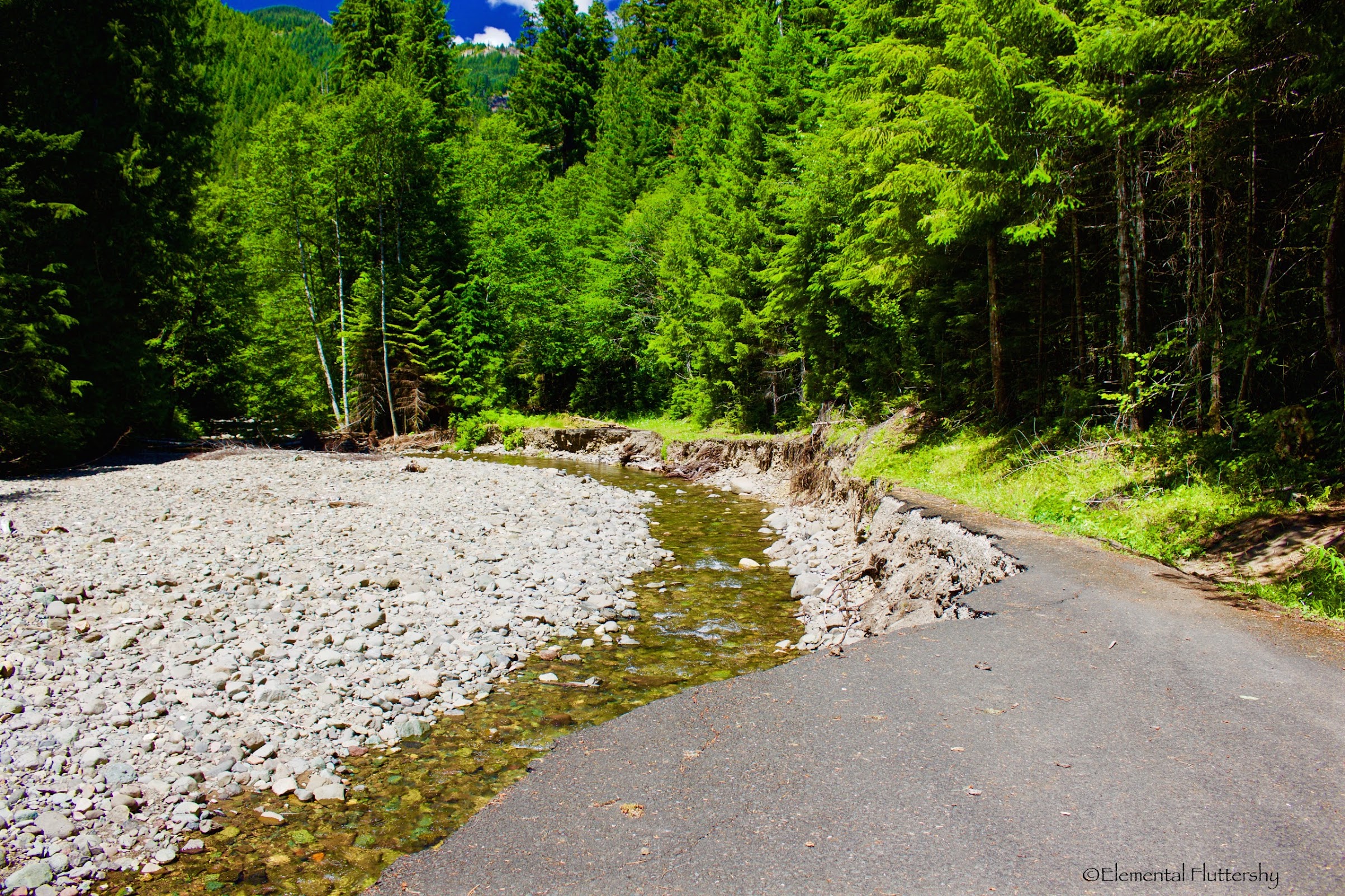
The washout on FR-23.
A paper plate sign showing where the trail re-route begins. The old trail a couple feet ahead was washed out right along with the road.
Foxglove right alongside the road and by the trailhead.
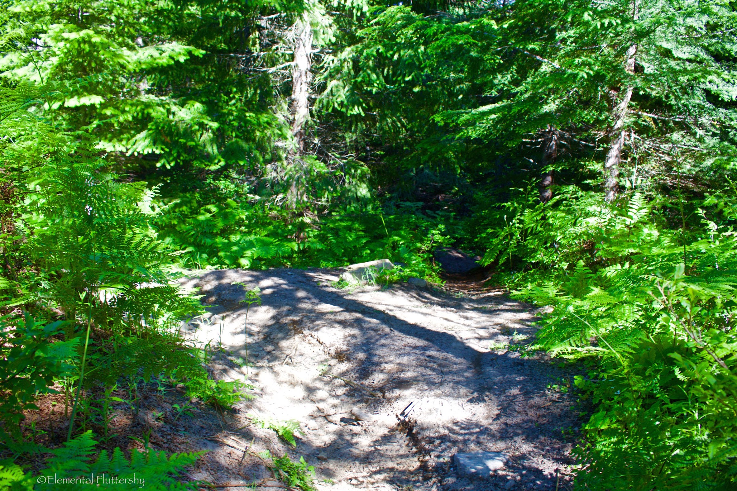
This is the re-routed trail down to Canyon Creek.
The old big log was washed out, it seems. The trail now uses this smaller, wobbly log. Good balance is needed, but a wet crossing is also just fine.
A little bit of debris to cross on the other side of the creek.
You want to turn right and walk along the edge of the creek to meet up with the old trail.
Soon after following an old roadbed (converted to trail), you enter a nice, semi-open forest full of magnificent old growth.
A giant tree around 6-7 feet in diameter! So glad that at least some of these giant trees were spared from logging.
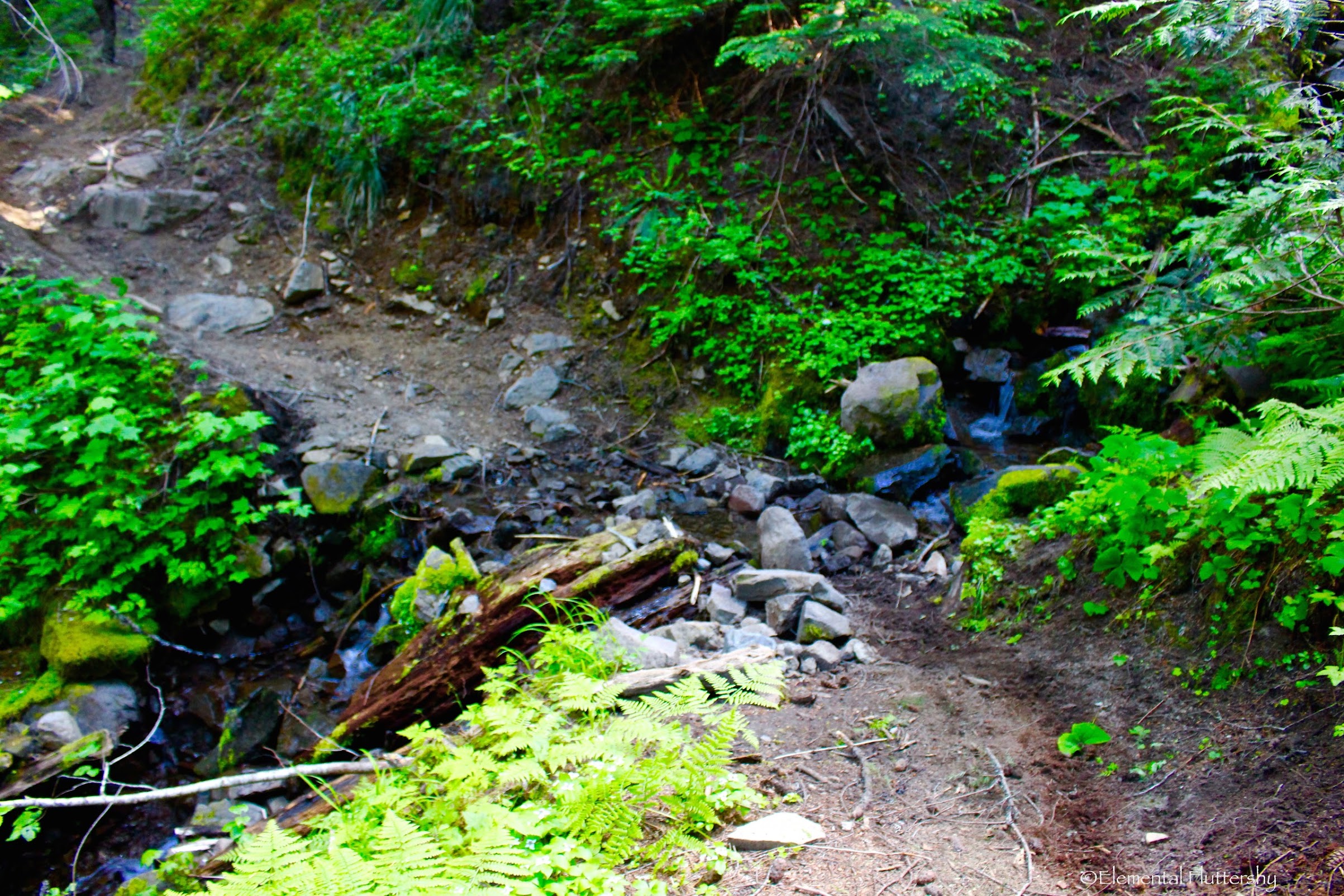
Another washout, this time on the trail. Dark Creek ravaged the hillside here for at least 0.7 miles along the trail.
It climbed over and around several washouts until reaching the crossing of Dark Creek.
Looking up to Jumbo Peak–one of the major peaks in the Dark Divide, and Juniper Ridge (quite a popular hike).
Recently logged out.
At 1.5 miles, you reach the crossing of Dark Creek. Its not too challenging, but the last jump can be tricky.
After crossing Dark Creek, the trail starts a very steep ascent of Juniper Ridge.
It is extremely rutted out here (~3 feet deep in places) and hard walking.
Once again, the trail entered another magnificent grove of old growth trees. It was breathtaking!
A nice spread of wildflowers here!
At 2.8 miles (after some backtracking down by the creek), I came to a junction with an unmarked trail branching off to the left. This trail leads to Road 2325, which would shave off a few miles and quite a bit of elevation gain from the hike, but the road has since washed out this year (and might not be repaired, as no official trails connect up with this road).
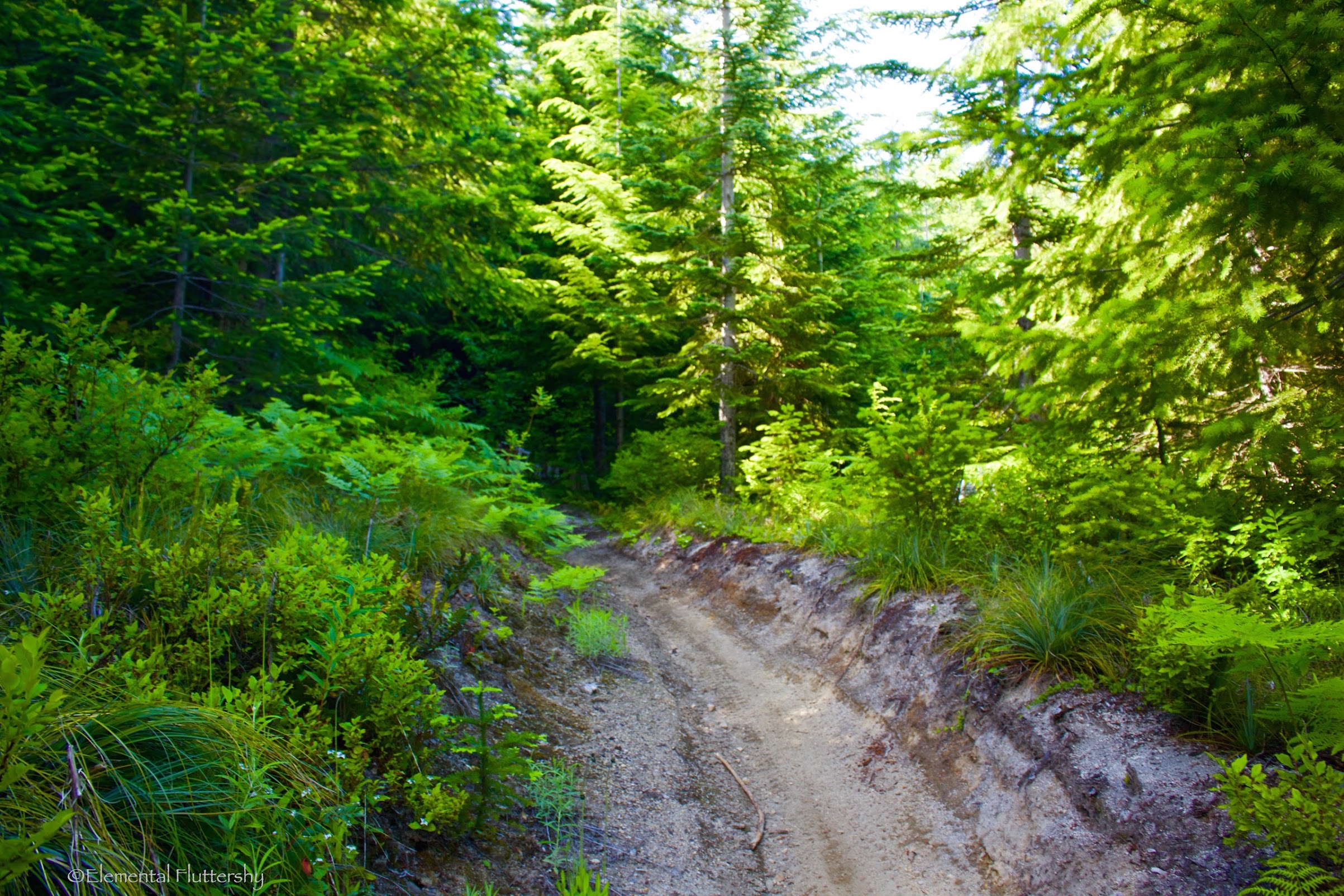
just passed the junction, the trail enters an old clear-cut. It is nice second growth now, having an appearance of a "pseudo" subalpine forest.
After this, the trail crosses a myriad of streams, both large and small.
Hiking through a nice forest setting.
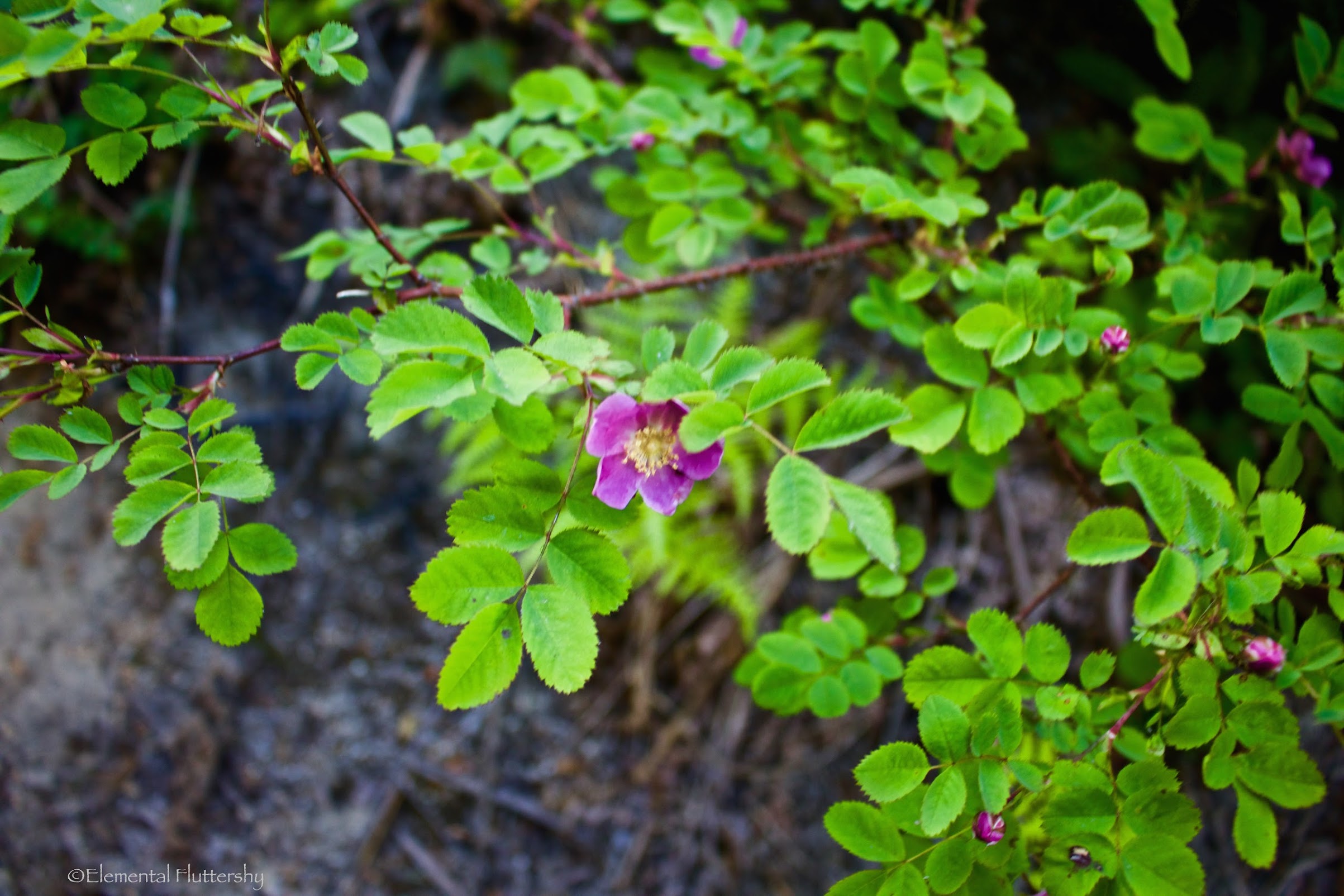
Wild roses!
After some climbing, muddy sections, and stream crossings, the trail started to open up.
Our stopping point for the day was the junction with the Juniper Ridge Trail.
Trail sign.
Facing the Dark Meadows Trail, where I hiked up.
Looking north at the Juniper Ridge Trail–the route to Jumbo Peak and Sunrise Peak.
Lots of beargrass at the junction!
Twilight Sparkle at the junction for EQD's annual #PoniesAroundtheWorld event.
Interactive CalTopo Map Link here.
http://gpsfly.org/a/6177
 Dark Meadows Trail - Dark Creek Hike (Maps3D 2016-07-06 07-59pm).gpx
- (217.98 KiB) Downloaded 311 times