Conditions:
FR 4610 (Abbott Road) is pretty rough. Some sections are good but it is often potholed, there are a few sections with sharp protruding rocks, and a couple ruts to maneuver around. There is also a section that is boxed in with alders that may scrape the paint. I took my beat up subaru without thinking twice but passenger cars need to be patient.
The plaza trail is in great shape! There was only one blowdown that was easy to walk around. Its small so I'll bring my saw if I make it up there again. The section between Sheepshead rock and the salmon mountain trail has several springs running across the trail and the accompanying berries/devil's club/etc but they are short.
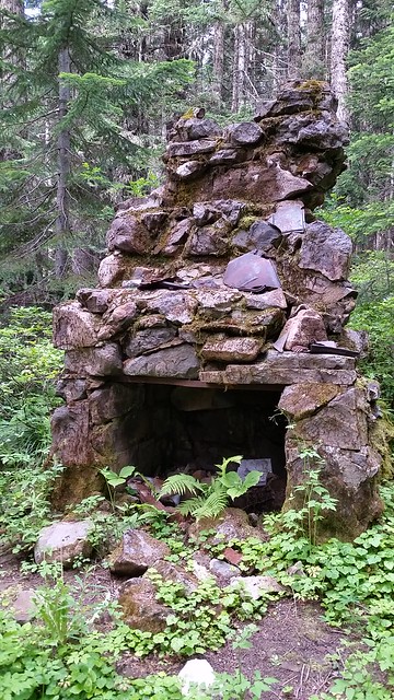 20160719_094642
The old fireplace
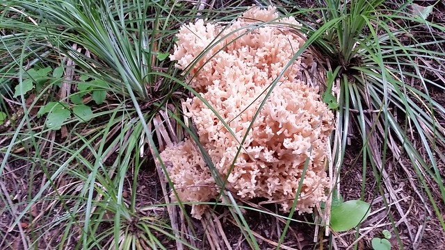 20160719_095355
 These were everywhere along the plaza trail. Some were probably a foot in diameter.
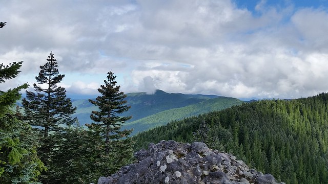
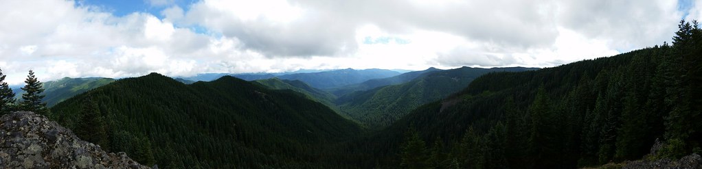 20160719_101426
 Looking down the South Fork Salmon River Drainage, Salmon Mountain Left, Devil's Peak deep center, and Salmon Butte just to the right
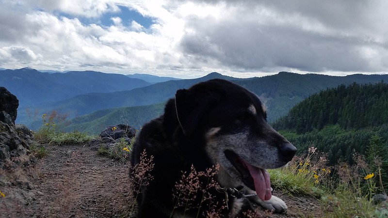 20160719_101656
Huey taking it all in!
 20160719_101724
 Wildcat Mountain
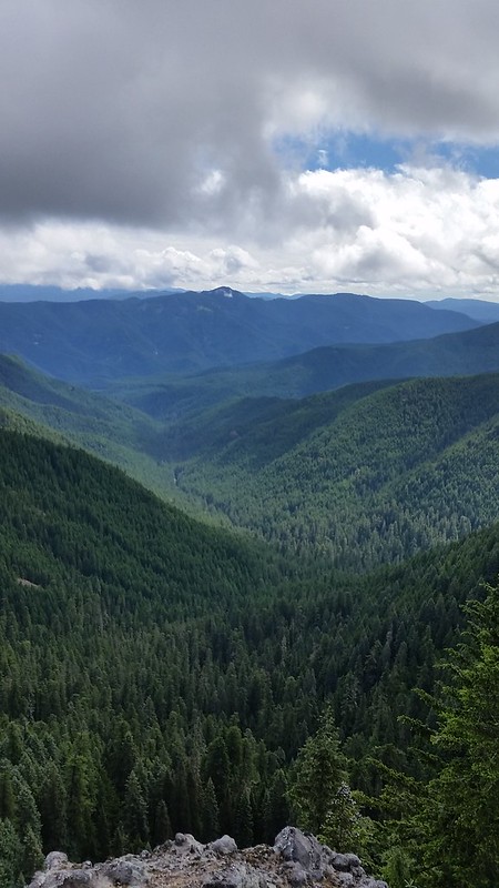 20160719_101439
 South Fork Salmon River Drainage and Devil's Peak


