
Background: This was supposed to be a 2015 trip from Timberline Lodge to Bridge of the Gods that I would take with my little brother. The week of the trip I got really sick and we had to cancel, so this year (2016) I wanted to go as soon as I could. I planned the same route, roughly 46 miles over 4 days. I carefully made lists and packed my bag- it was way heavier than I expected... about 55 pounds. The bag is an old school REI external frame- very strong and efficient albeit heavy. It was also broken- which I knew before the trip but didn't remedy before I left. I should note that I am a very fit person and didn't think the bag weight or mileage would be a problem. I also thought I could print out my routes via Google Maps in black and white... well things didn't go as expected, but it was still an amazing trip. Read on to share the adventure.
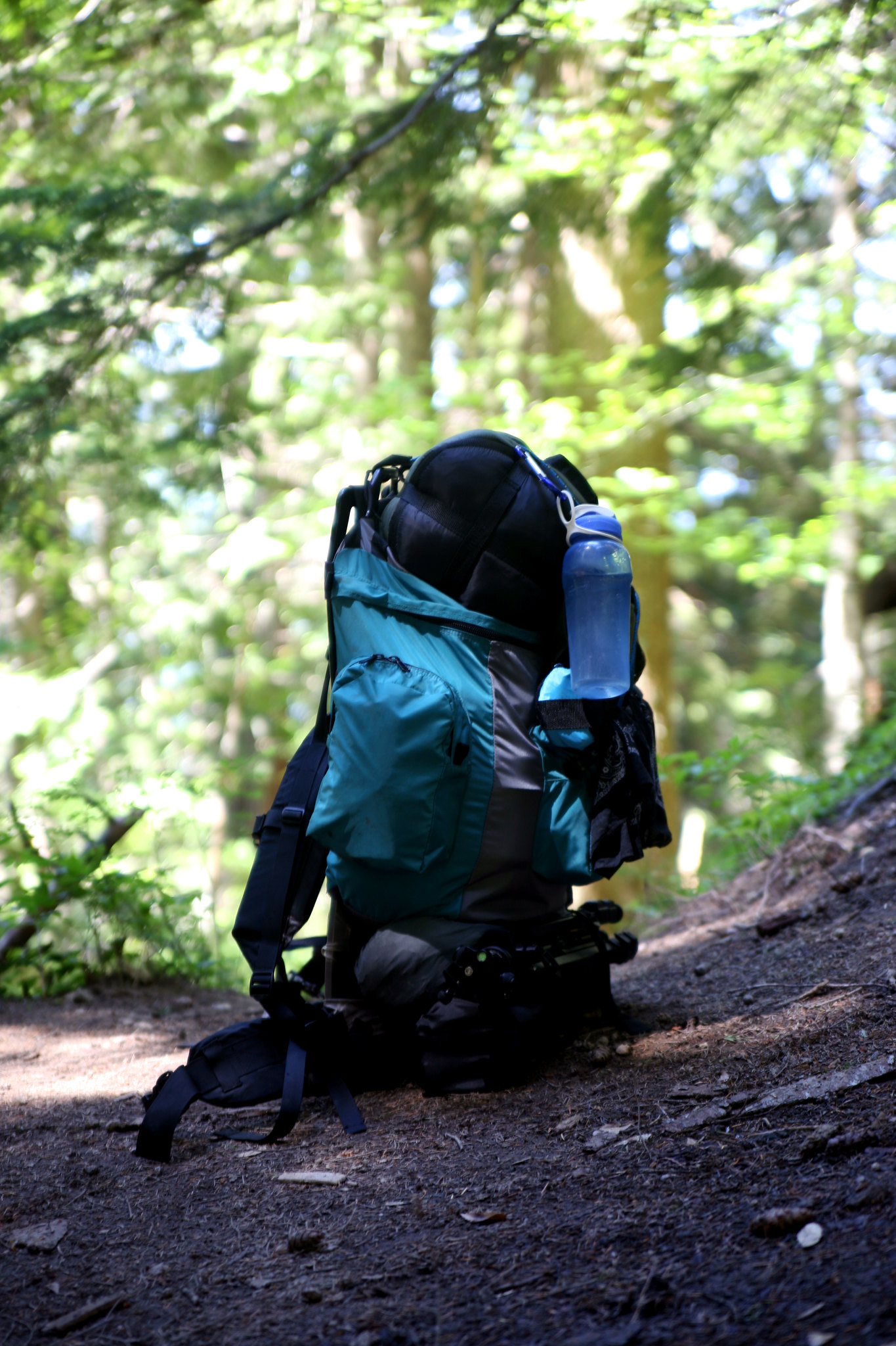
This pack cost $10 used. Blessing and a curse.
Monday June 20I was kindly dropped off at Sandy Transit Center then rode Mt. Hood Express bus to Collins Lake stop in Government camp ($2 cash one way, pay on the bus).
Where the sidewalk ends- the start of the trail in Government Camp.
Walked to start of Blossom Trail then took the trail NE to the Kruser ski run. Hike the ski run north to the intersection with the PCT. (3.1 miles so far). At this point I was exhausted and had climbed 2000' feet over three miles and without a trail. 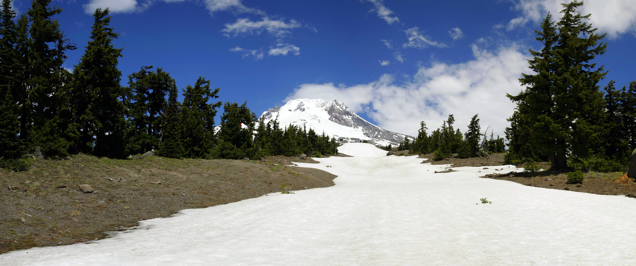
The view at the top was great however.
The PCT intersects (goes under) all the chairlifts of Timberline.
Marching on, I was worried that my trip itinerary would have to change. I accepted this, and carried on, hiking on the PCT to an epic view point where I made camp. So my day one mileage was about half of my originally fifteen... very frustrating. At camp I had full cell phone service so I texted my ride that I would need to be picked up a day early and at a new rendezvous point. It seemed like Lolo Pass was the best compromise- he agreed and I shut off my phone. I made dinner then went to bed incredibly early. 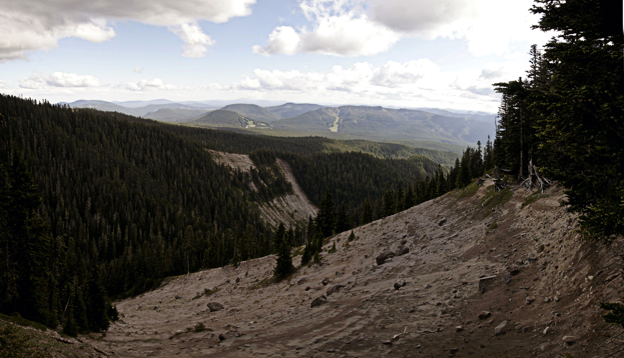
The view from night one camp.
Night one camp: 45.36124842086214, -121.754109933972
Day's mileage: 7.7 miles
Tuesday June 21
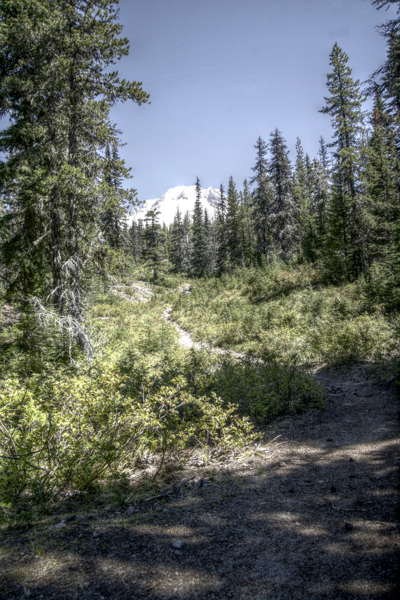
I slept a lot and felt refreshed. Drinking coffee on the edge of the cliff was peaceful and enjoyable... Got a late start but the day's hike was easy and held lots of great views.
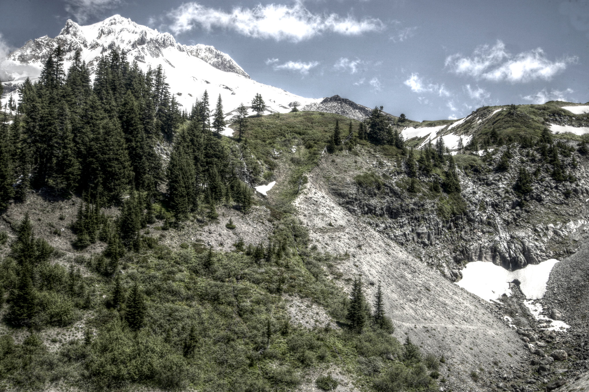
HDR view of Mt. Hood
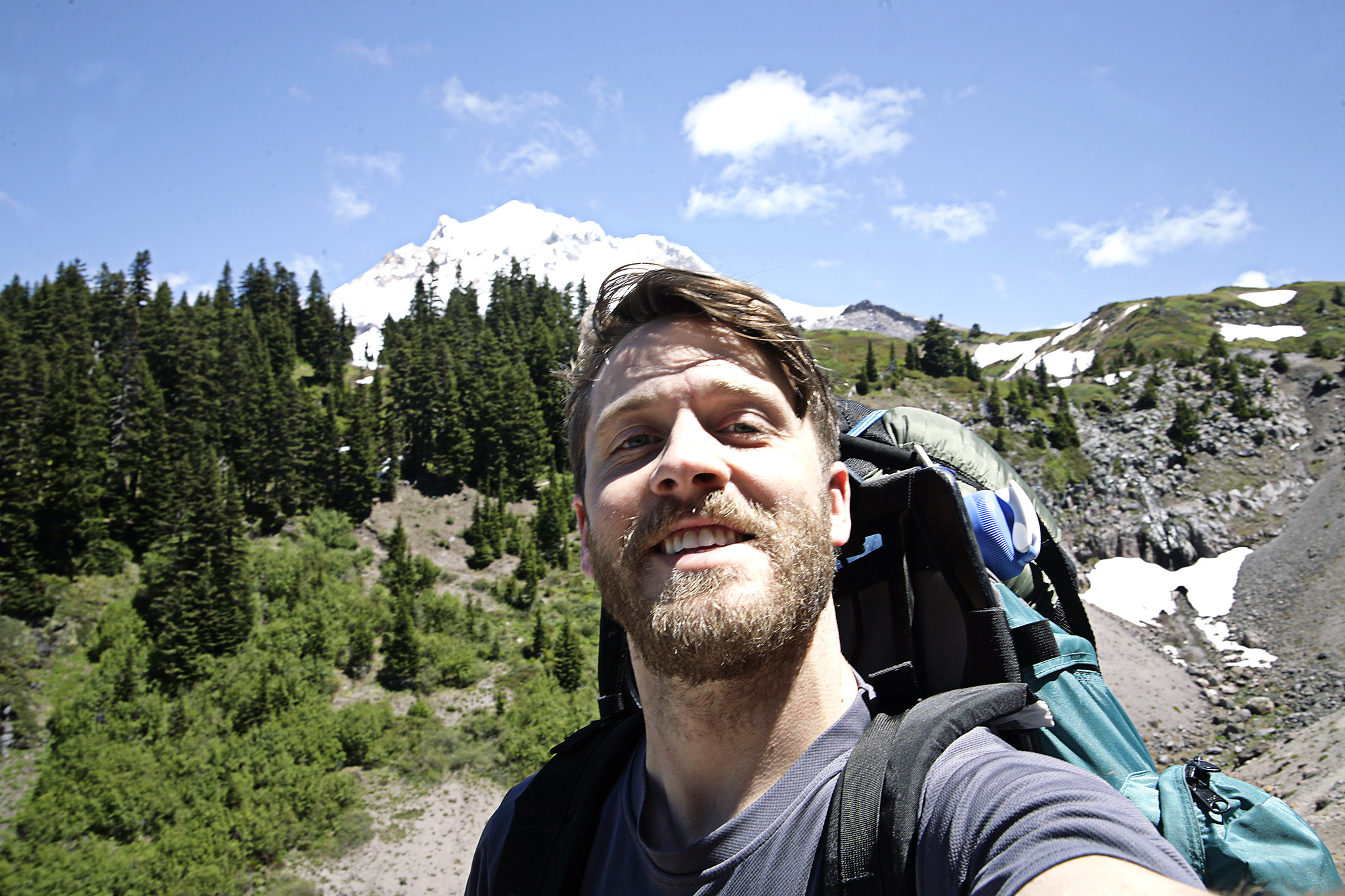
Hey, that's me!
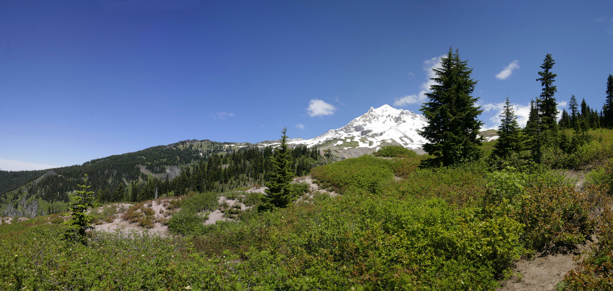
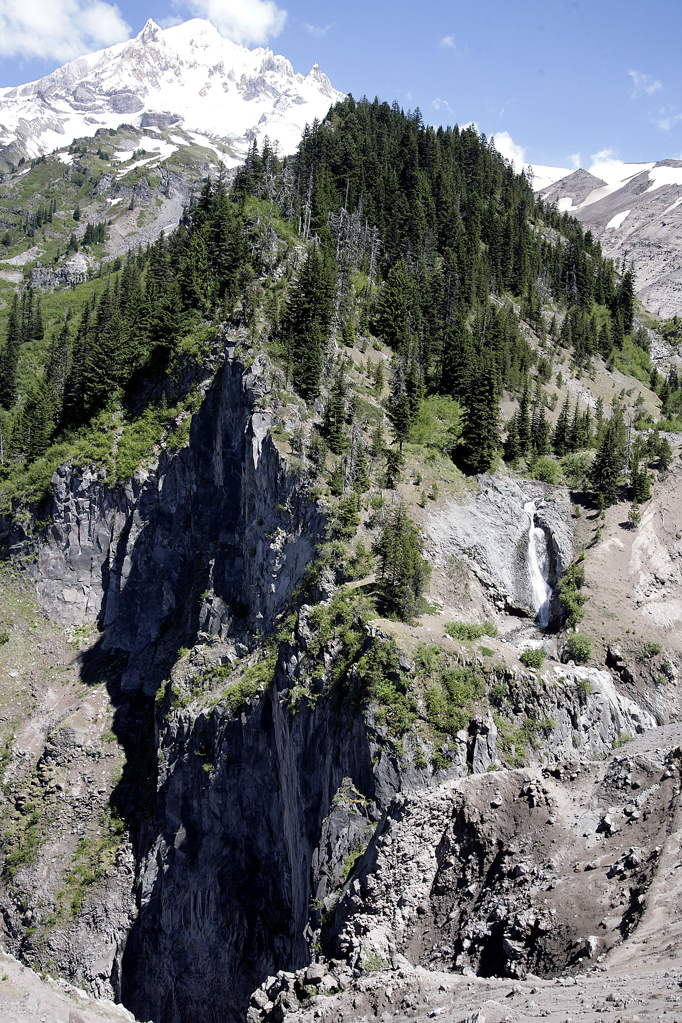
Another pano of Hood and the green surroundings.
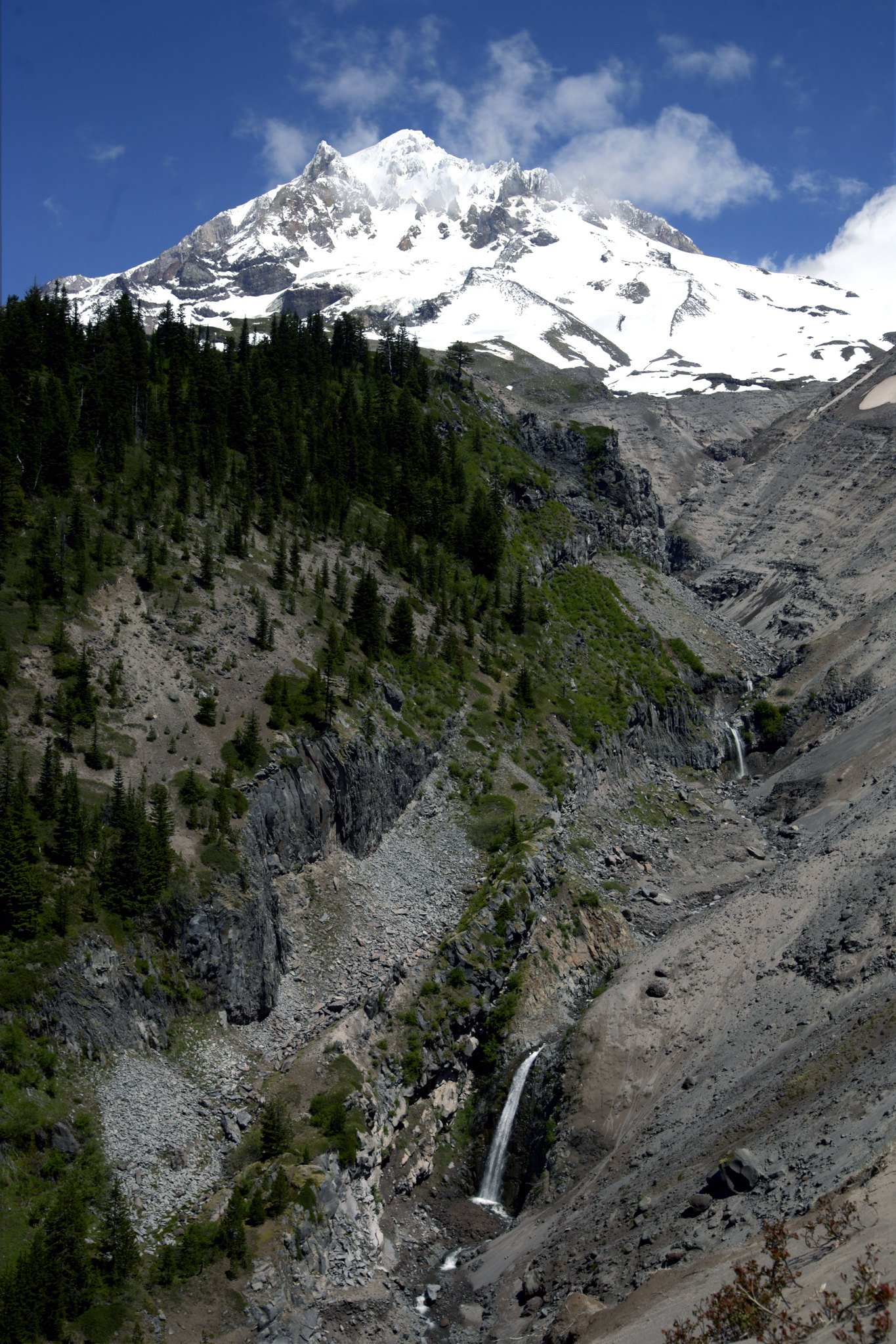
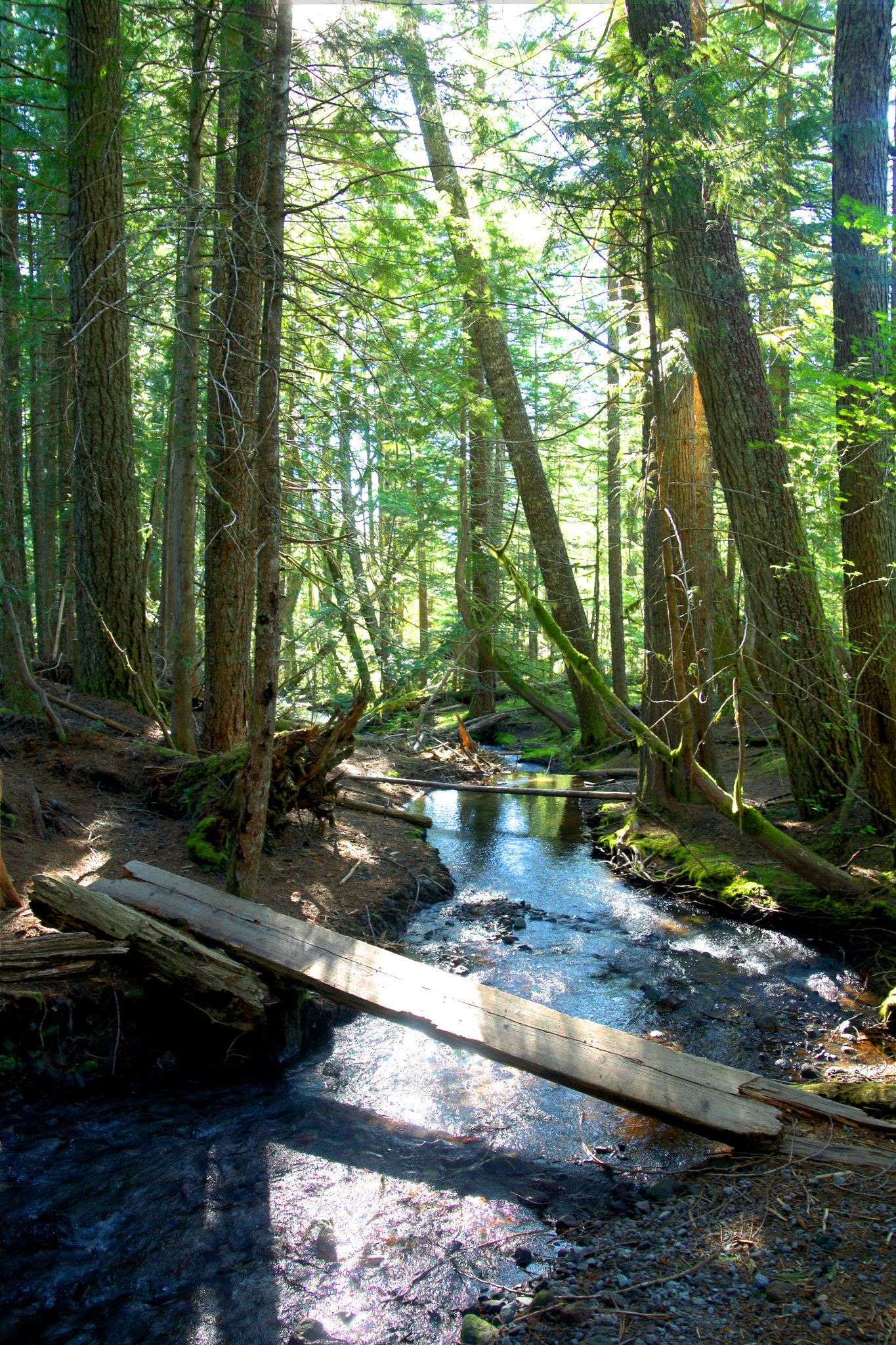
I believe that waterfall feeds Rushing Creek.
I highly recommend zooming in on the full size version of this one...
Found the Sandy River and crossed easily. I looked for the stone structures hikers make to guide each other. I then made a slight detour off the PCT and found old building on the North side of the Sandy River at 45.37870469, -121.783611. 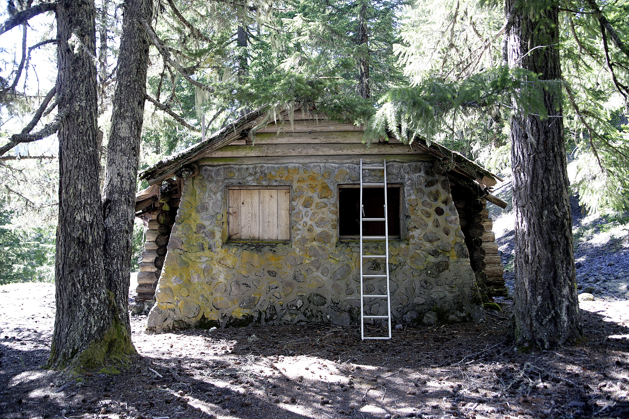
Read more about the abandoned guard building here: viewtopic.php?f=8&t=15850
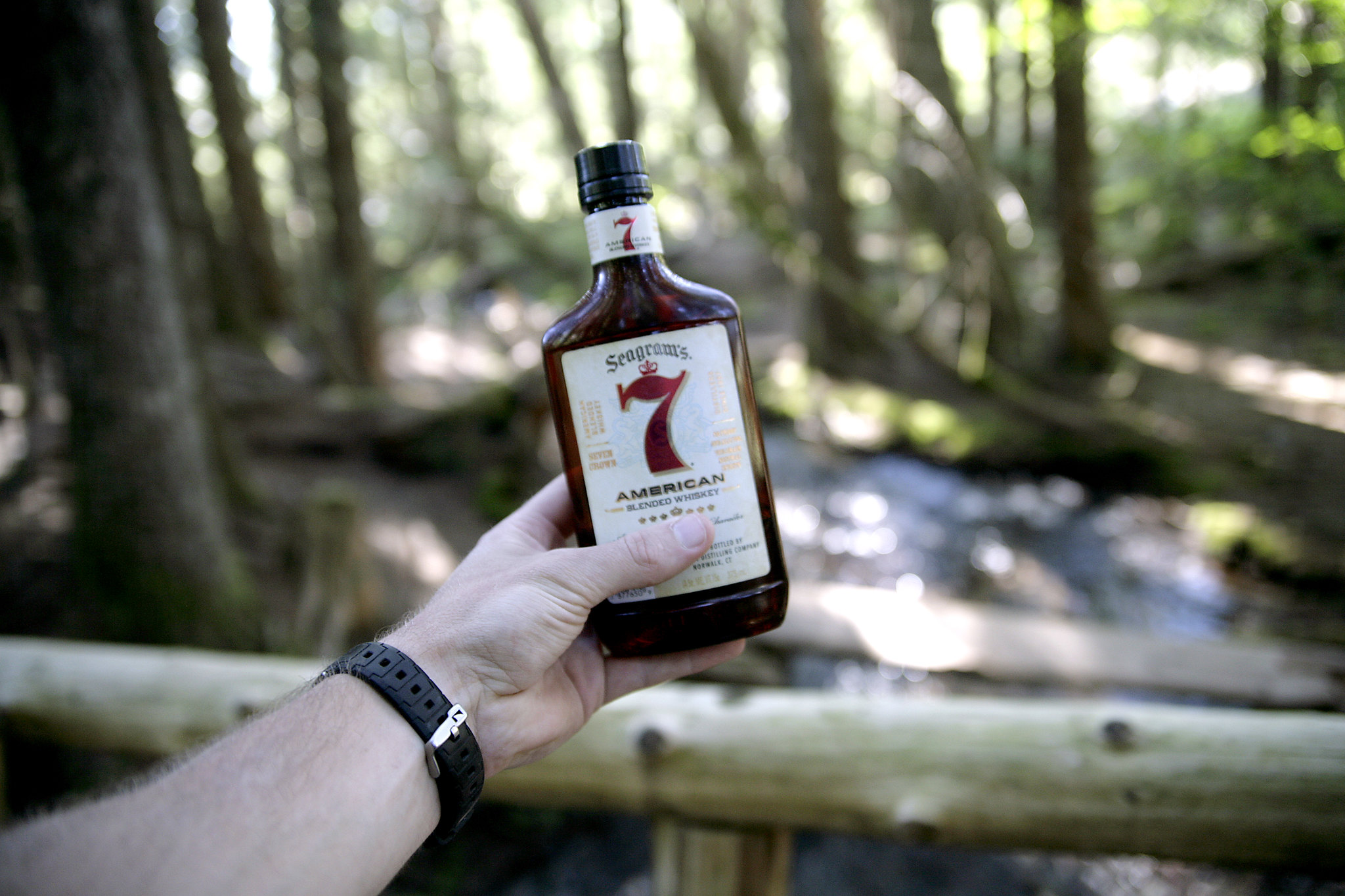
Continued back on PCT until the Ramona Creek footbridge. It was new and looked great. I thought it would be a great place to rest for a few minutes to have a whiskey and soak in the moment. The beautiful sun streamed through the trees and I was very content while greeting Ramona Falls hikers crossing the bridge making their way back home. 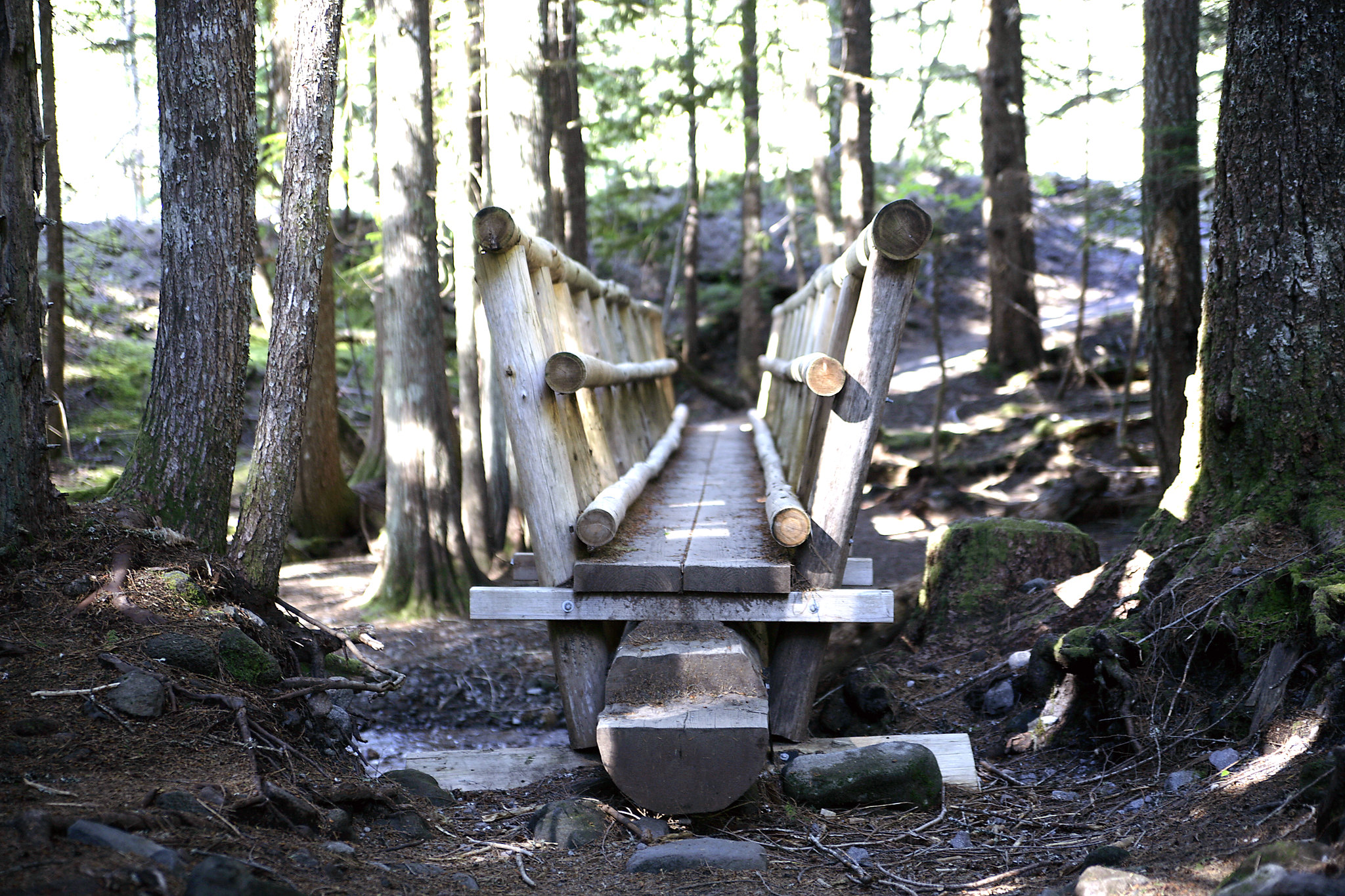
The new footbridge.
Yup.
You can see why I wanted to take a second and enjoy the moment...
I got moving again and continued on the PCT until the Muddy Fork river crossing. 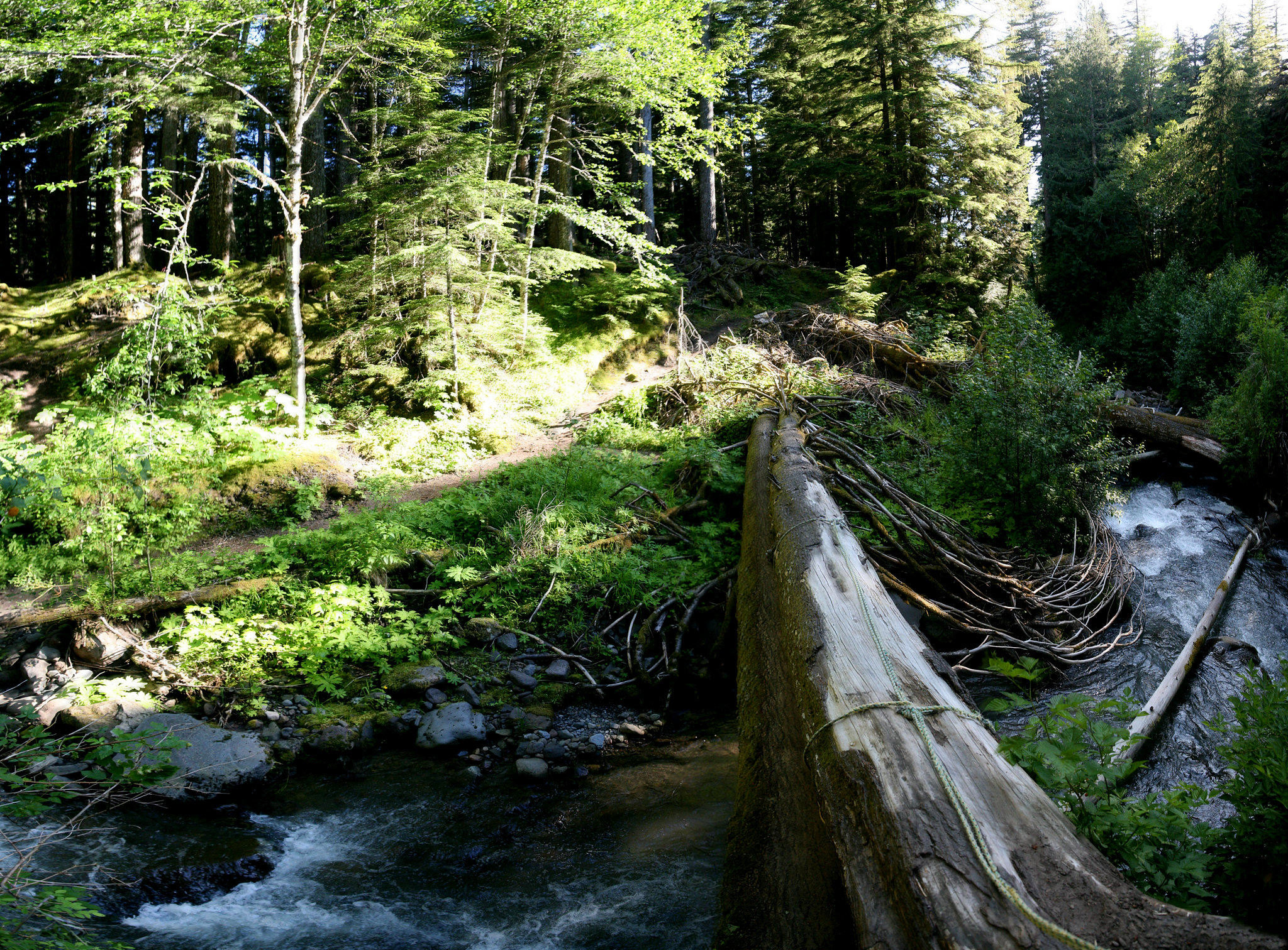
Crossing the Muddy Fork via the two-tree-bridge.
Now some trouble. Initially I looked at my GPS on Google maps and was a little confused (the whiskey?) as to which way to go. I went EAST, which ended up being the Timberline trail. A little ways up there was a bridge washed out, so I stupidly went off trail. Proceeded to get scarily lost for two hours in eye-height spiky bushes. I panicked and kept heading North, but eventually gathered myself and b-lined downhill/South back to the Muddy Fork, where I set up camp. A guy appeared as I was sitting and reading my useless maps. He was taking the Timberline- I warned him about the washed out bridge so he took the PCT towards the Sandy instead. 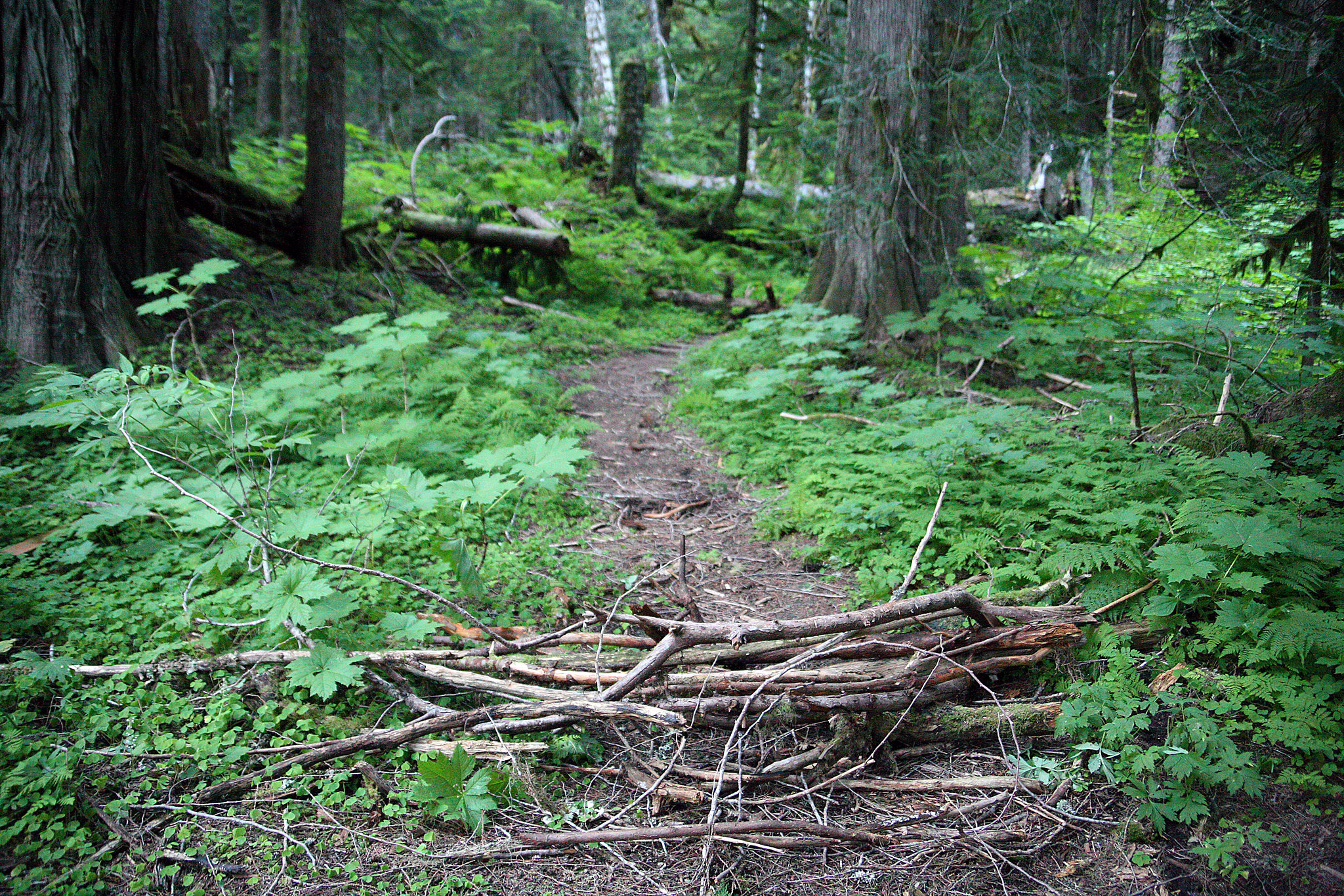
I put some branches here to at least detract people from taking the trail with the washed out bridge. Not sure if people appreciate this sort of thing? But it would have helped me be certain that path was not correct...
I was frustrated and tired, but it felt great to sit in my chair and listen to the rushing river nearby. 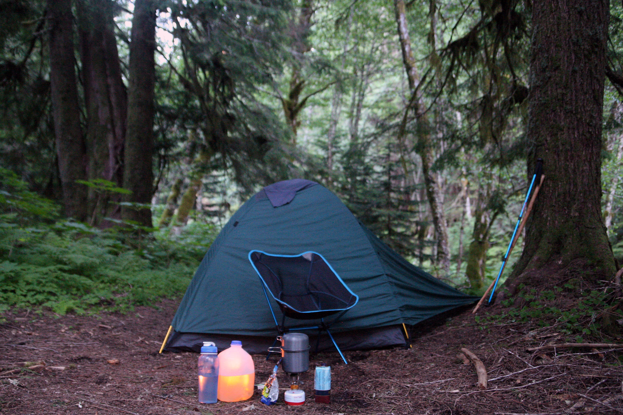
Home, sweet home.
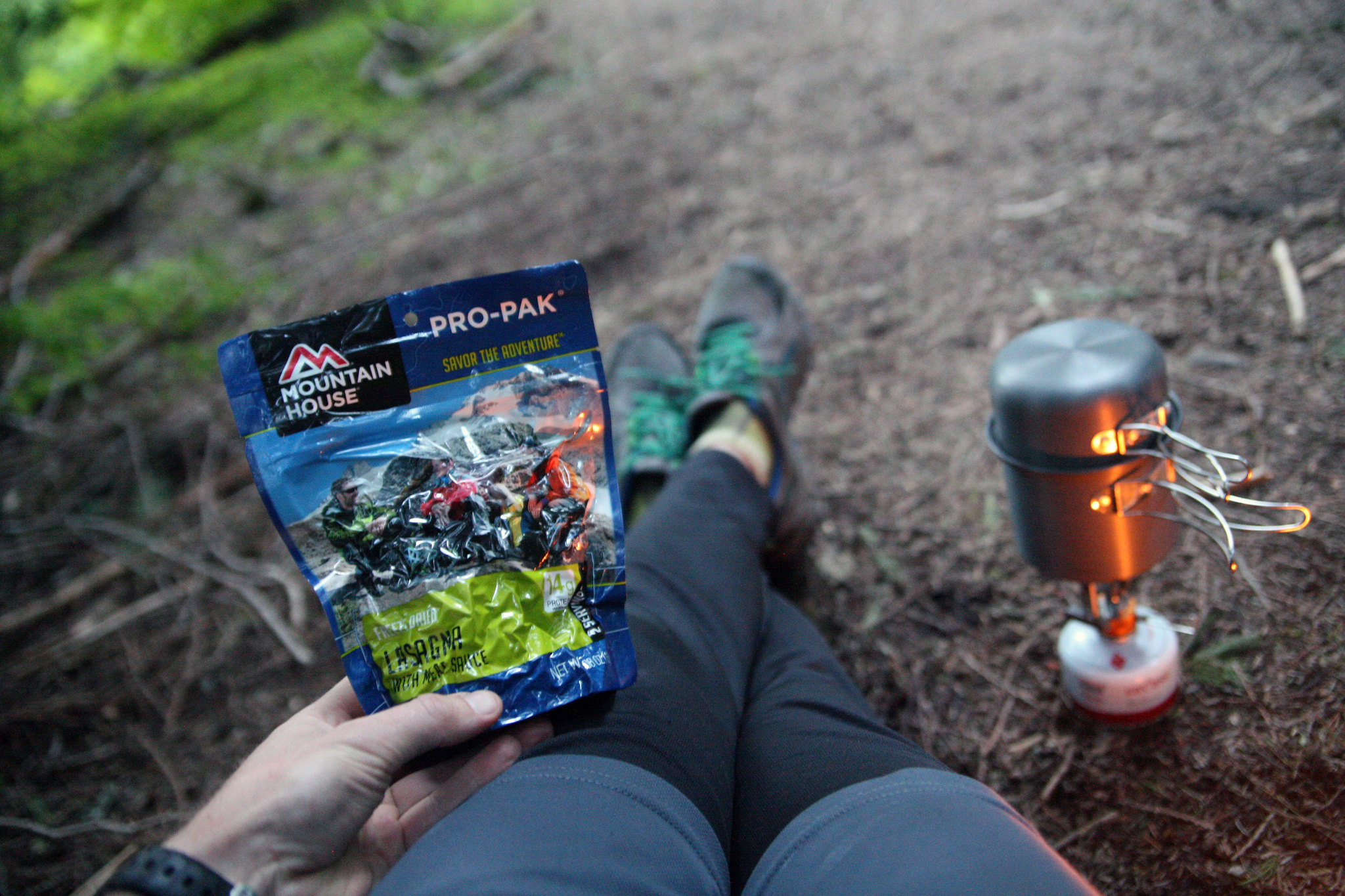
Mmm, lasagna!
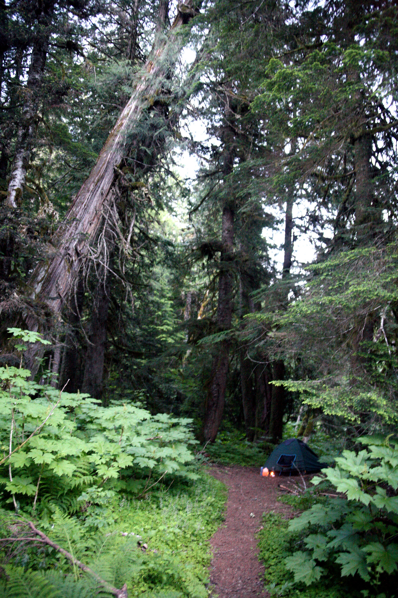
I prayed before I went to bed that this leaning tree did not fall on me in the middle of the night.
Night two camp: 45.396030, -121.799563Day's milage: 5 miles (+1 mile while lost?)
Wednesday June 22
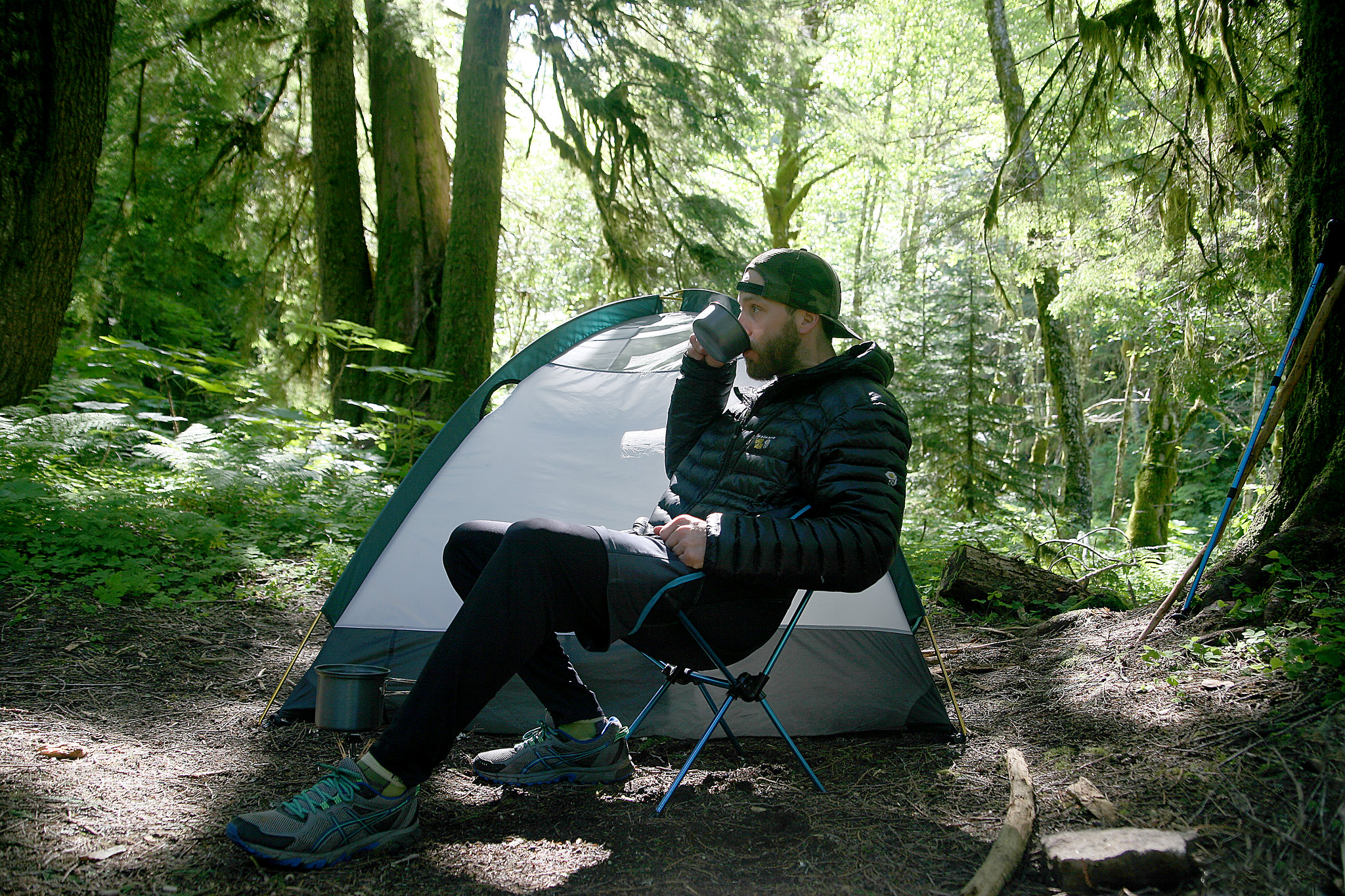
Drinking morning coffee; simply the best.
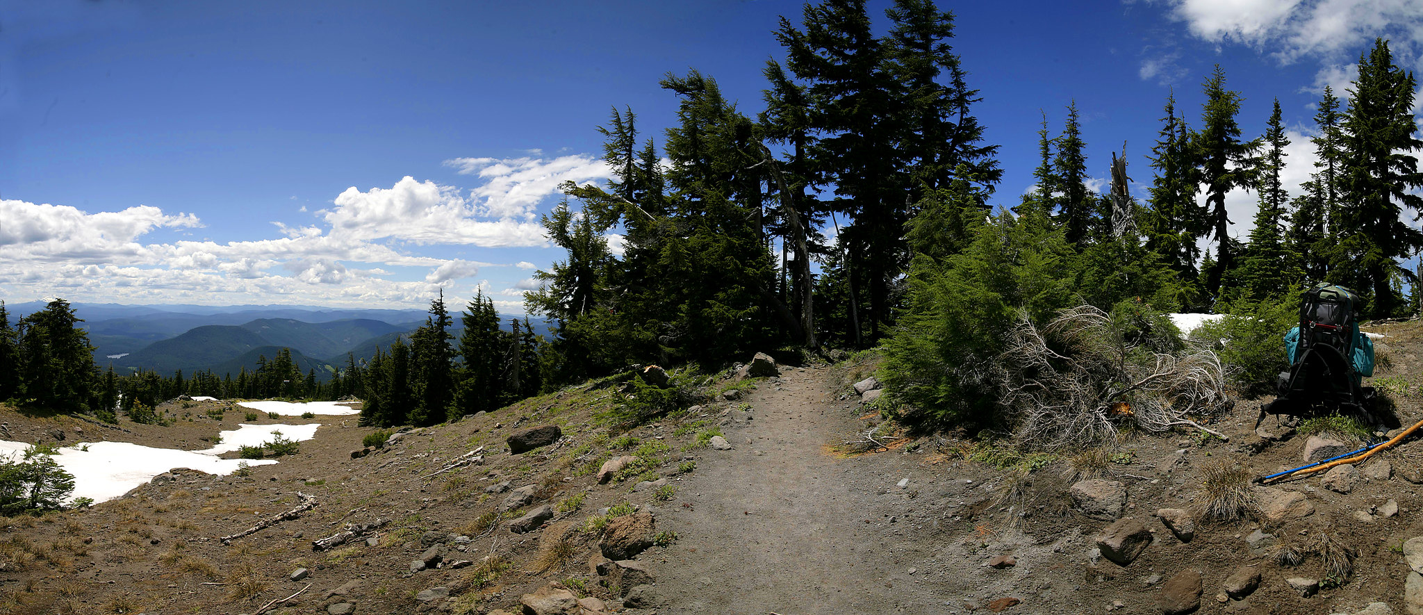
I slept well and packed up camp quickly. Then hiked via dozens of switchbacks, from Muddy Fork River to Lolo Pass, stopping for thirty minutes at the intersection of the Timberline Trail #600. 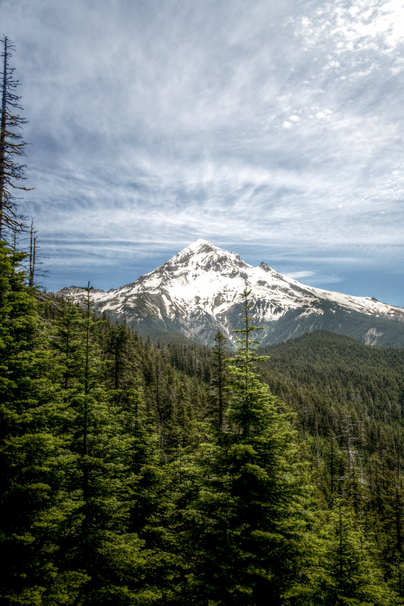
My last view of Hood before Lolo Pass
Once I was at Lolo Pass, my hiking was complete. I sat in my chair for a few minutes until I met two guys who were scouting the area for an upcoming trip. They gave me a lift down Lolo Pass Road. Then another driver gave me a lift into Boring where I waited at a bar named I Don't Know until my ride arrived. Day's mileage: 6.1 miles
TOTAL MILEAGE: 19.8
Invaluable gear:
Stove
Compass
Food + iodine tablets (my meal planning was excellent)
Probably could do without (17.09 lbs):
Big, heavy, old school DSLR and zoom lens (3.3 lbs)
Chair + big anti-bug candle (but they both made camp SO comfy) (2.47 lbs)
Gallon of water (water was plentiful on the trail) (8.63 lbs)
Sleeping pad (the ground in Mt Hood is soft and not that cold) (2.69 lbs)
Completely useless (3.41 lbs):
My printed out black and white maps from Google Maps (.1 lbs)
Tripod + ball head (3.31 lbs)
Conclusion
With a 20 pound lighter pack and real PCT-proven maps, I have no doubt that I could have done my originally planned trip. It would also have been nice to actually start at Timberline Lodge instead of having to "climb a mountain" just to get the trip started. There was just too much snow to trust starting from Timberline, which is why I changed my starting point. That said, once I was out there I met plenty of hikers who were coming from the lodge, and found their way just fine. OK, lessons learned. The rest of the trip was great- meeting other hikers, drinking morning coffee on the edge of a cliff, and eating delicious dinners alone by candlelight and rushing rivers. Camping alone in the wilderness is trying and unforgettable experience that I recommend to everyone!
The Photography
All photos were taken with a Canon 5Dc + Tamron 28-75mm f2.8 lens. Some are three exposure HDR brackets, some are single shots, and some are stitched panos.


