Here is a link to a map of the park:
http://oregonstateparks.org/index.cfm?d ... 093729.pdf
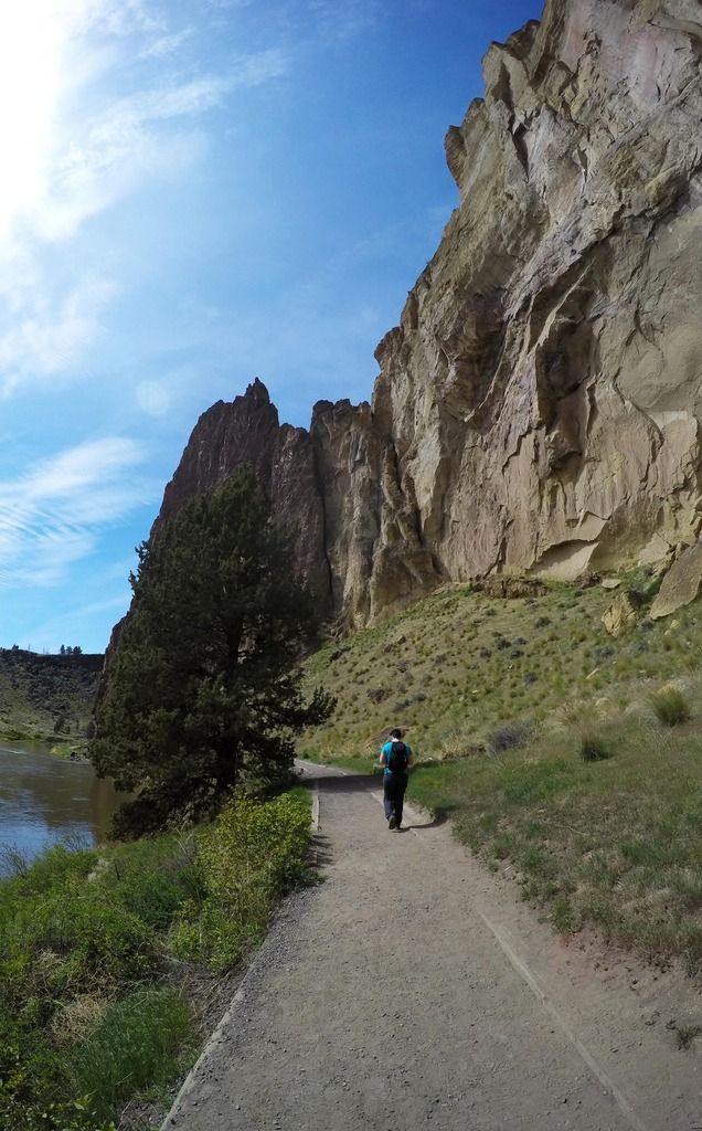
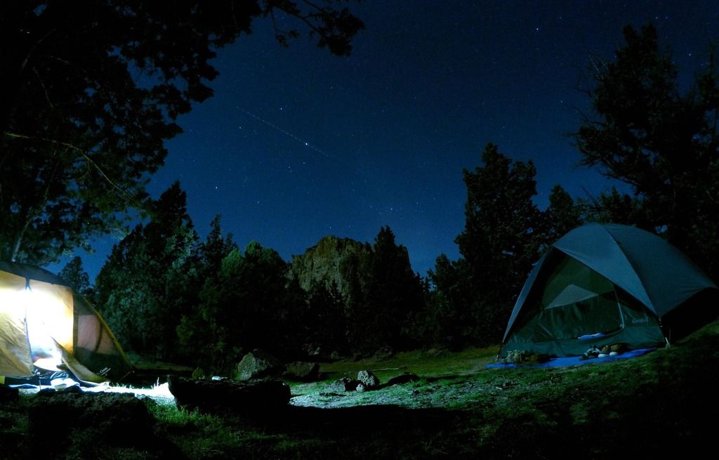
On Saturday we hiked from the Bivouac Area down to the Rope-de-Dope trail to a climbing area. We watched some of our friends climb for a little bit and then head down the Canyon Trail across the bridge to the River Trail. The River Trail is a flat waterside path. We stopped to use a park rangers scope to look at some nesting eagles. Soon we spotted an otter and we kept pace with it for about a mile. At the southern tip of the River Trail we stopped for a snack. Fruit and chocolate for us and I'll assume the otter was eating some sort of fish. We watched to otter fish for about 20 mins while we waited for a friend to catch up.
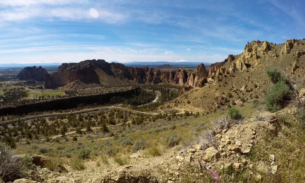
We finished the River Trail and took the Mesa Verde Trail up to get some nice views of the Cascades. This was the only steep part of the hike. After about a 1/2 mile the Mesa Verde Trail loops back down to the River trail and we headed back to camp via the River Trail. This was about 5-6 miles total to and from the camp.
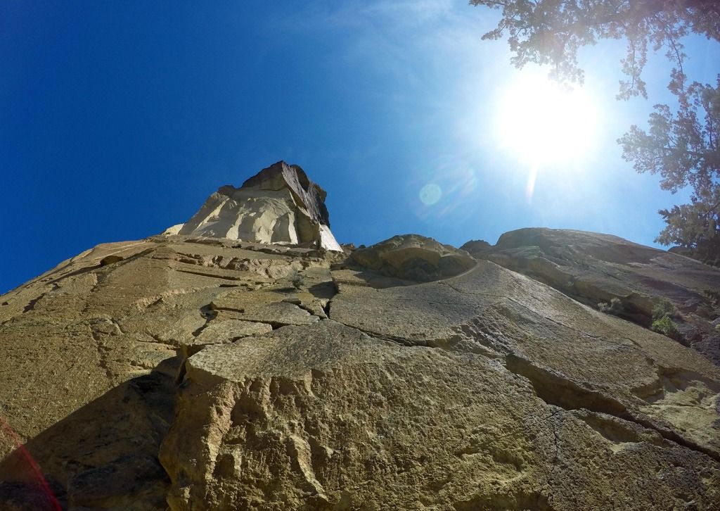
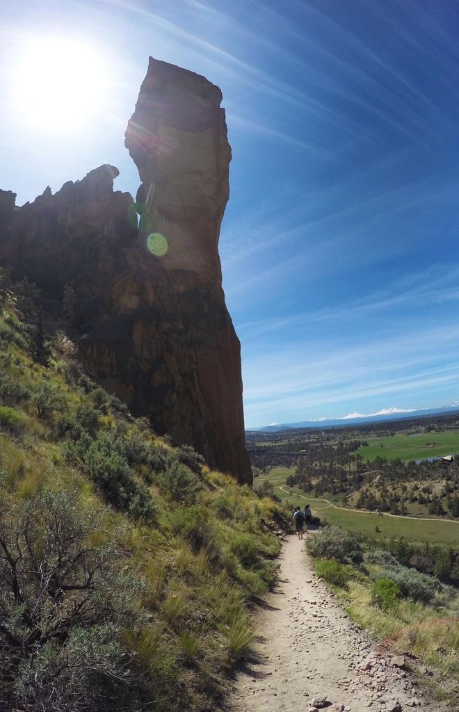
On Sunday after packing up camp we headed down the Canyon Trail and up the Misery Ridge Trail. Now the Misery Ridge is very steep, but the real problem was how hot it was. And little do we know that our sunscreen was not waterproof and we were sweating it off with each step. So make sure to check your sunscreen! Haha!
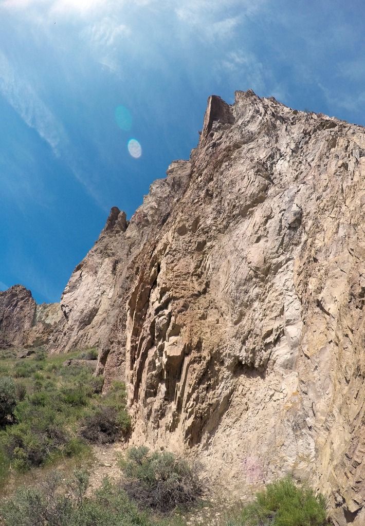
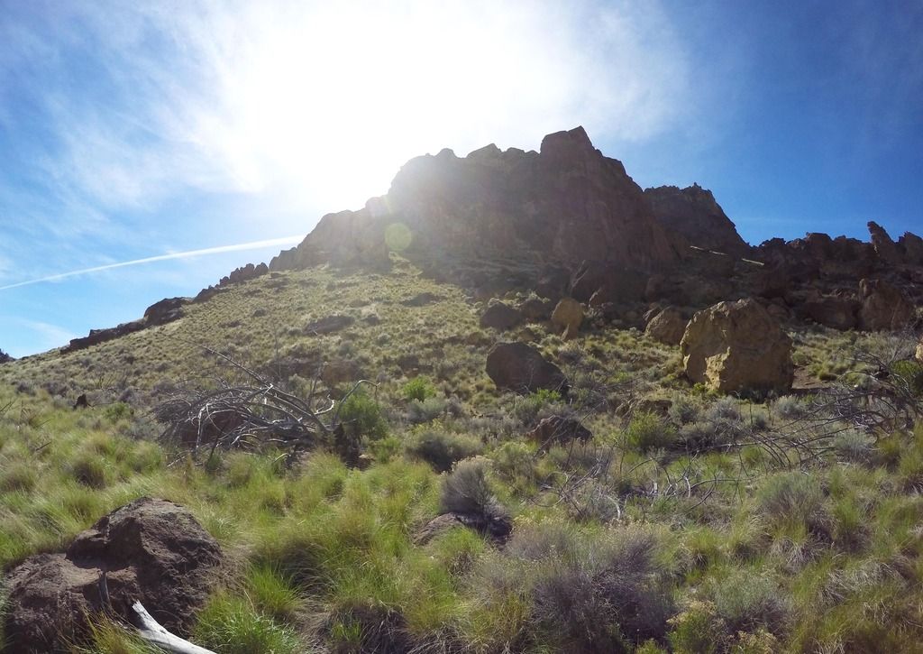
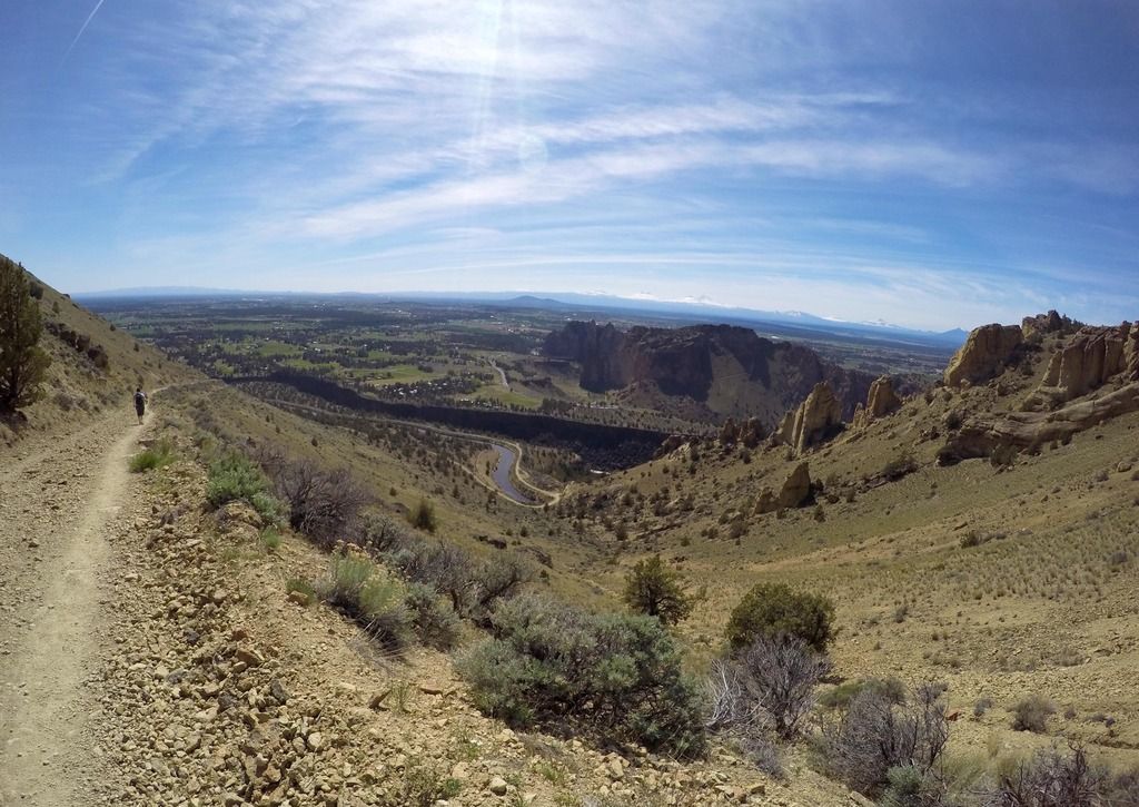
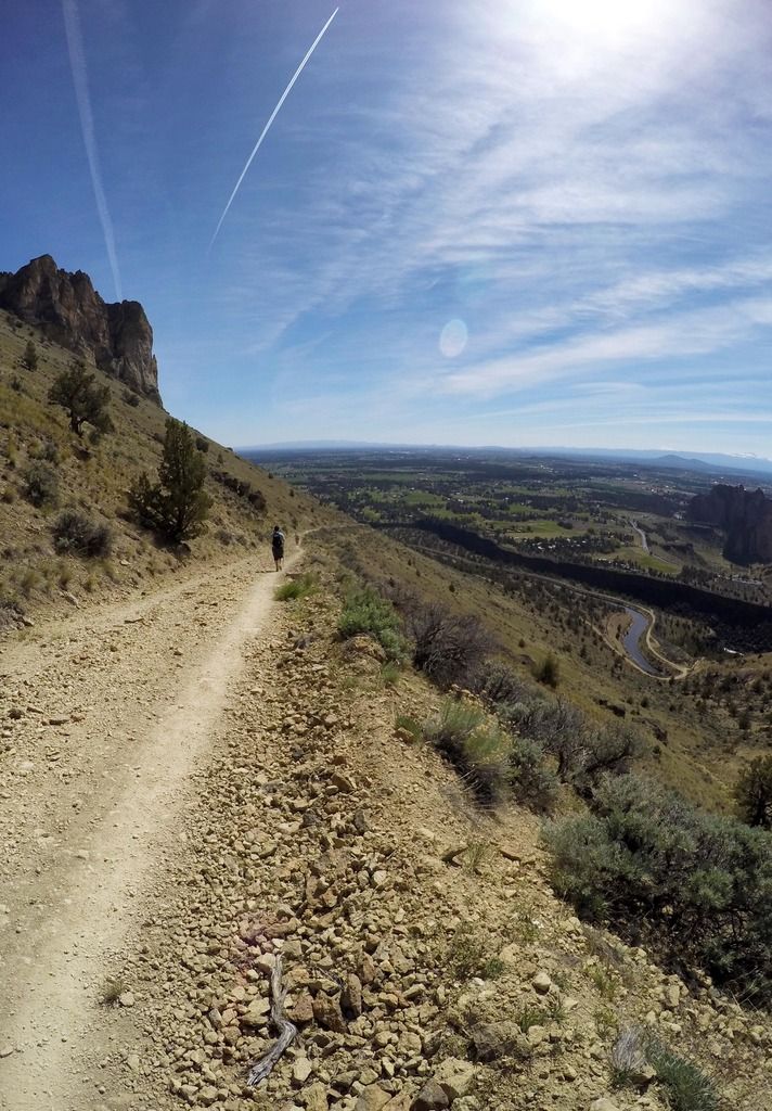
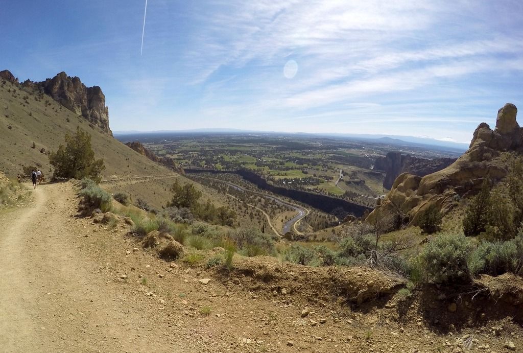
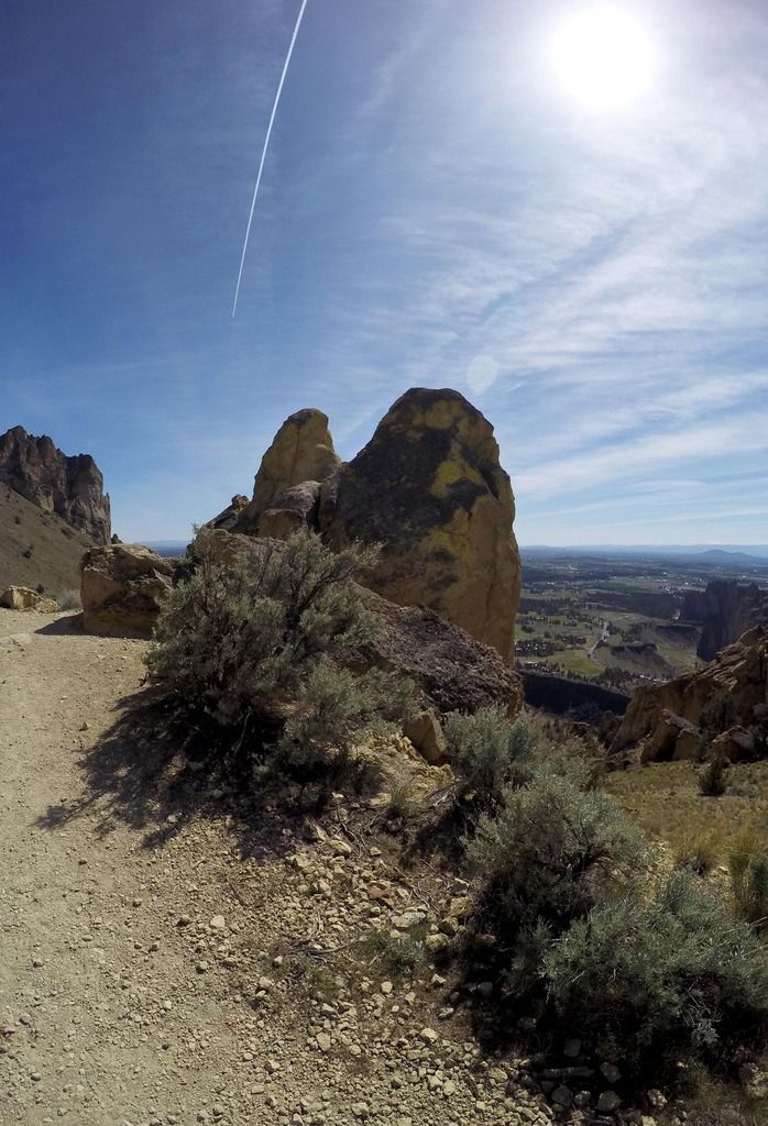
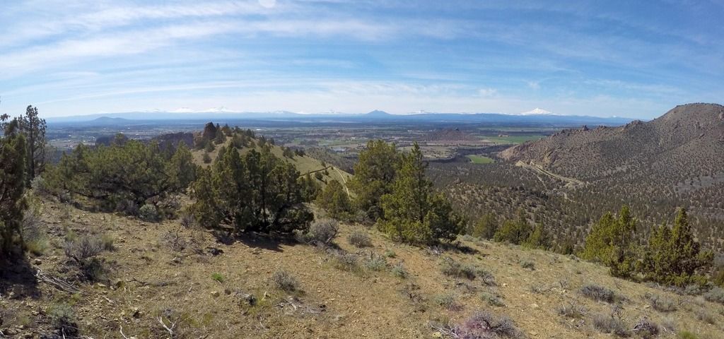
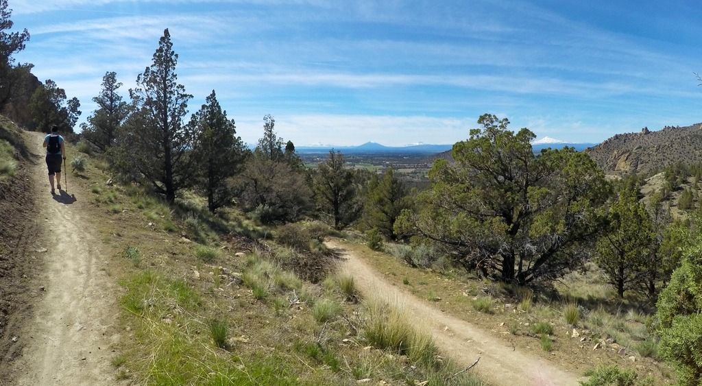
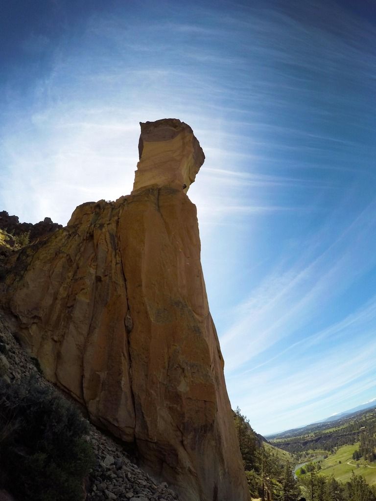
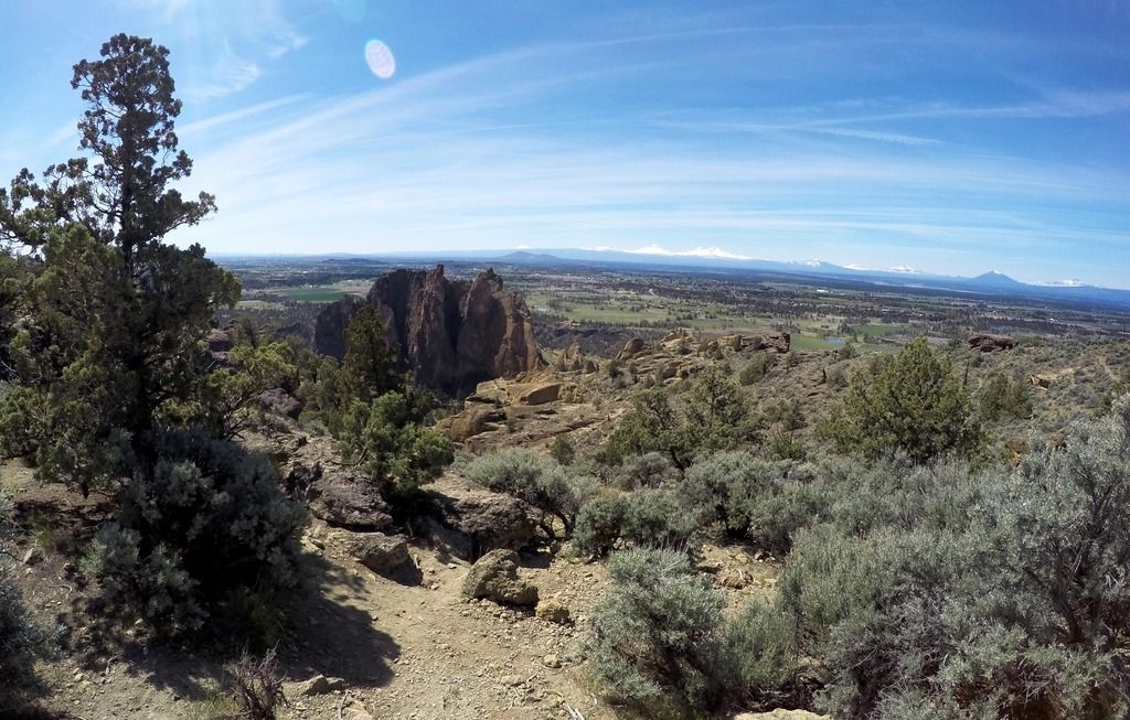
Once at the top we enjoyed the view and half our group convinced the other half that we need to continue and do the summit trail. Which was the BEST idea! We followed the Misery Ridge Trail until it connected with the Mesa Verde Trail and headed north, down off the rock and onto the Summit Trail. The Summit Trail had no people on it, which is nice compared to the Misery Ridge Trail. We stopped for a snack at the first view point on the Summit Trail. The Summit Trail reaches a higher elevation than Misery Ridge, but the climb is much more gradual. With every switch back the view of Cascades kept on getting better and better. At the top you have a great view of not only the Cascades, but also of Smith Rock itself. Next we headed down the Burma Road Trail, which leads down to the mostly flat Wolf Tree Trail, along the water. About 6-7 miles of hiking.
Once over the bridge the first order of business was to run in the sprinklers. Next was to go and get ice cream! A cone in each hand and another for the dog!
https://youtu.be/Dju_aR8Qrb8