Rainie Falls (Wild Rogue Wilderness) 09-Feb-2016
Posted: February 10th, 2016, 10:28 am
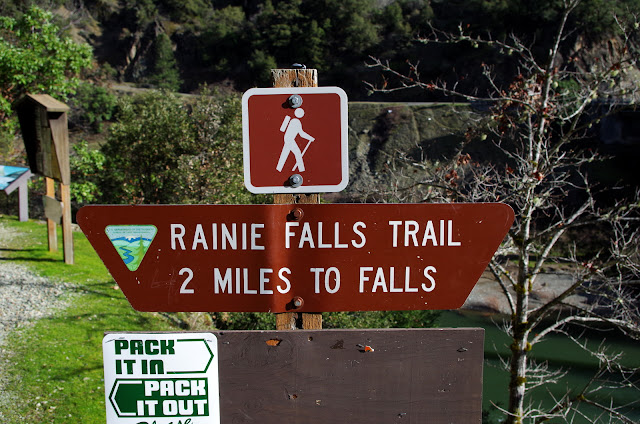
Last year we hiked the 40 mi long Lower Rogue River trail from Grave Creek to Foster Bar - amazing trip! (TR). This year we have plans to raft the river - which should also be amazing but we won't have to carry anything! The main Rogue Trail runs along the N side of the river while the much shorter, but equally scenic, Rainie Falls trail runs along the S shore. We hadn't hiked it before and so used that as excuse to reacquaint ourselves with the lower river. The Galice-Merlin Road was temporaily closed by a landslide, so we worked our way to the TH from I-5/Sunny Valley via some backroads.
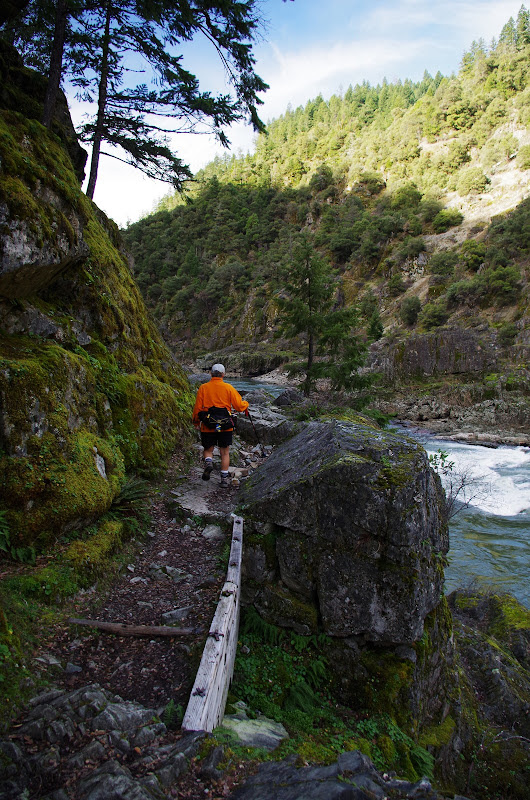
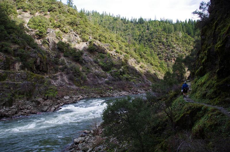
Much of this trail is hewn out of solid rock,
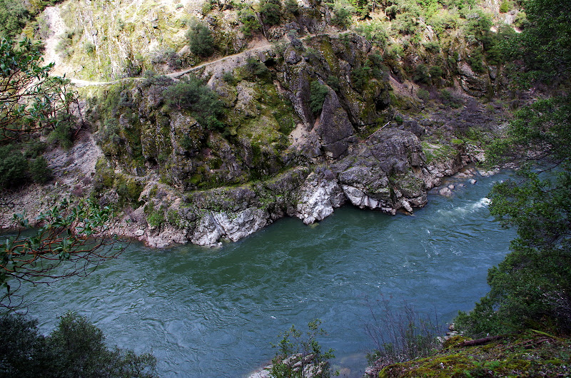
and runs both well above the river (note the main Rogue River trail on the far side of the river),
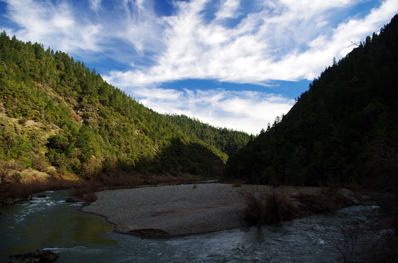
and down close to river level.
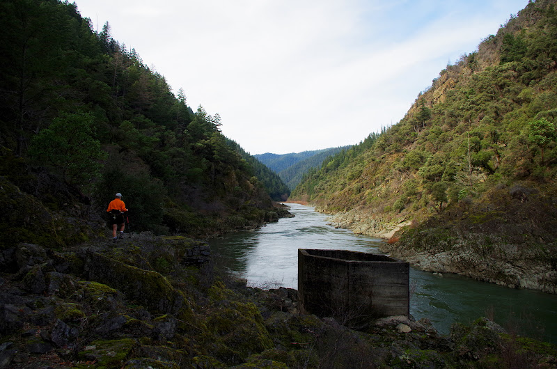
About a mile in, we passed Sanderson's Island,
and the remaining pier of Sanderson's mule and foor bridge that was washed away in the 1927 flood.
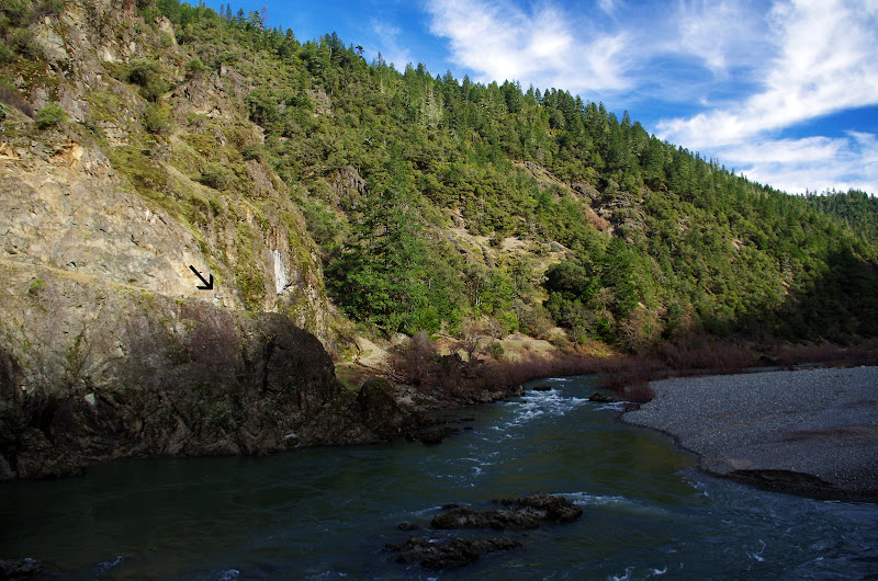
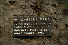
Across the river, we could make out the sign (arrow) indicating high water during the 1964 flood - 55 feet above the river!
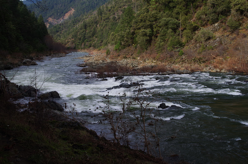
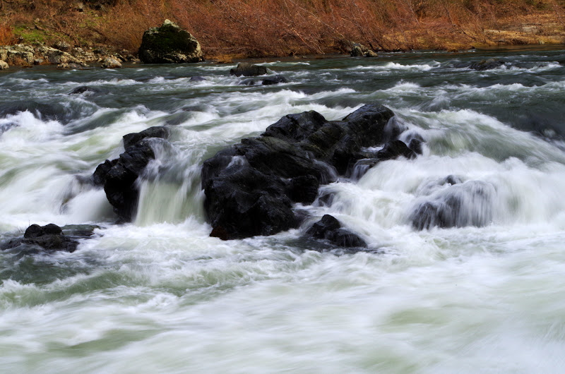
A mile further on, we came to Rainie Falls, a 15-20' Class V drop in the river. Something to look forward to for our raft trip in June.
 It's possible that, as the bow of the raft tips into this rapid, it may occur to us that walking and carrying a backpack wasn't so bad after all. We'll see...

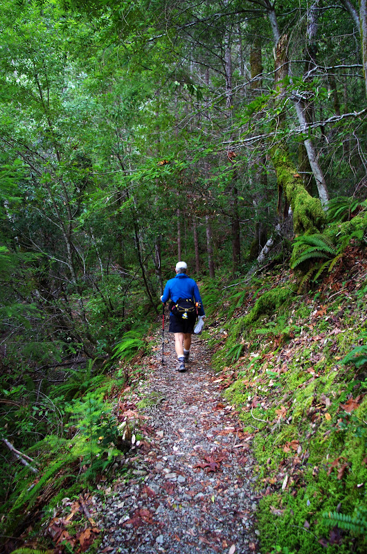
After a snack, we headed back along the trail, which runs through patches of forest,
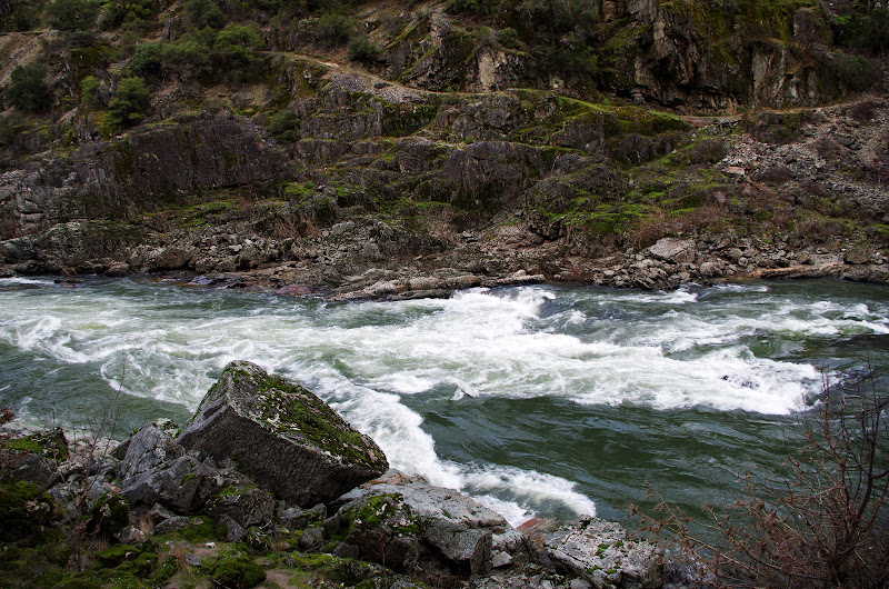
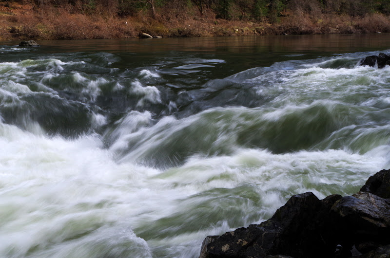
past rapids,
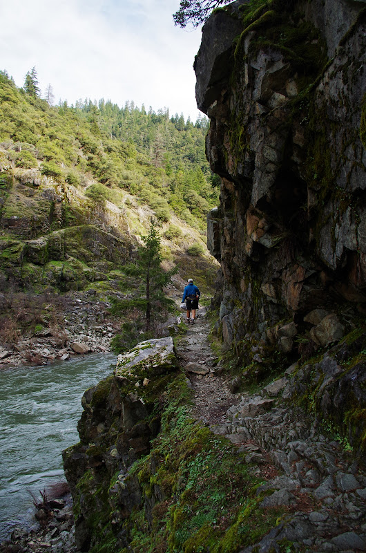
and along a cliff face,
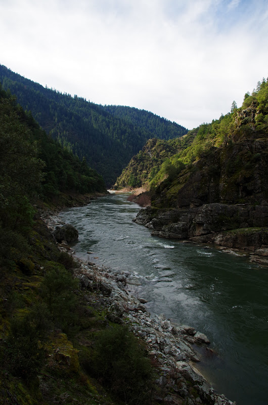
back to the TH, with one last look at the Rogue as it heads toward Gold Beach and the Pacific.
This is a short hike (4.2 mi RT, 180' EG) but you could add a hike out and back on the main Rogue River trail to Whisky Creek Cabin, making for an 11 mi RT day.
Much of this trail is hewn out of solid rock,
and runs both well above the river (note the main Rogue River trail on the far side of the river),
and down close to river level.
About a mile in, we passed Sanderson's Island,
and the remaining pier of Sanderson's mule and foor bridge that was washed away in the 1927 flood.
Across the river, we could make out the sign (arrow) indicating high water during the 1964 flood - 55 feet above the river!
A mile further on, we came to Rainie Falls, a 15-20' Class V drop in the river. Something to look forward to for our raft trip in June.
After a snack, we headed back along the trail, which runs through patches of forest,
past rapids,
and along a cliff face,
back to the TH, with one last look at the Rogue as it heads toward Gold Beach and the Pacific.
This is a short hike (4.2 mi RT, 180' EG) but you could add a hike out and back on the main Rogue River trail to Whisky Creek Cabin, making for an 11 mi RT day.