
I began at 10am from the Herman Creek TH, where 4 other cars were already parked. It's probably the fewest cars I've EVER seen at this TH, actually.
On up the hill, where a small, but annoying, tree has fallen across the trail. Too high to step over, or duck under.

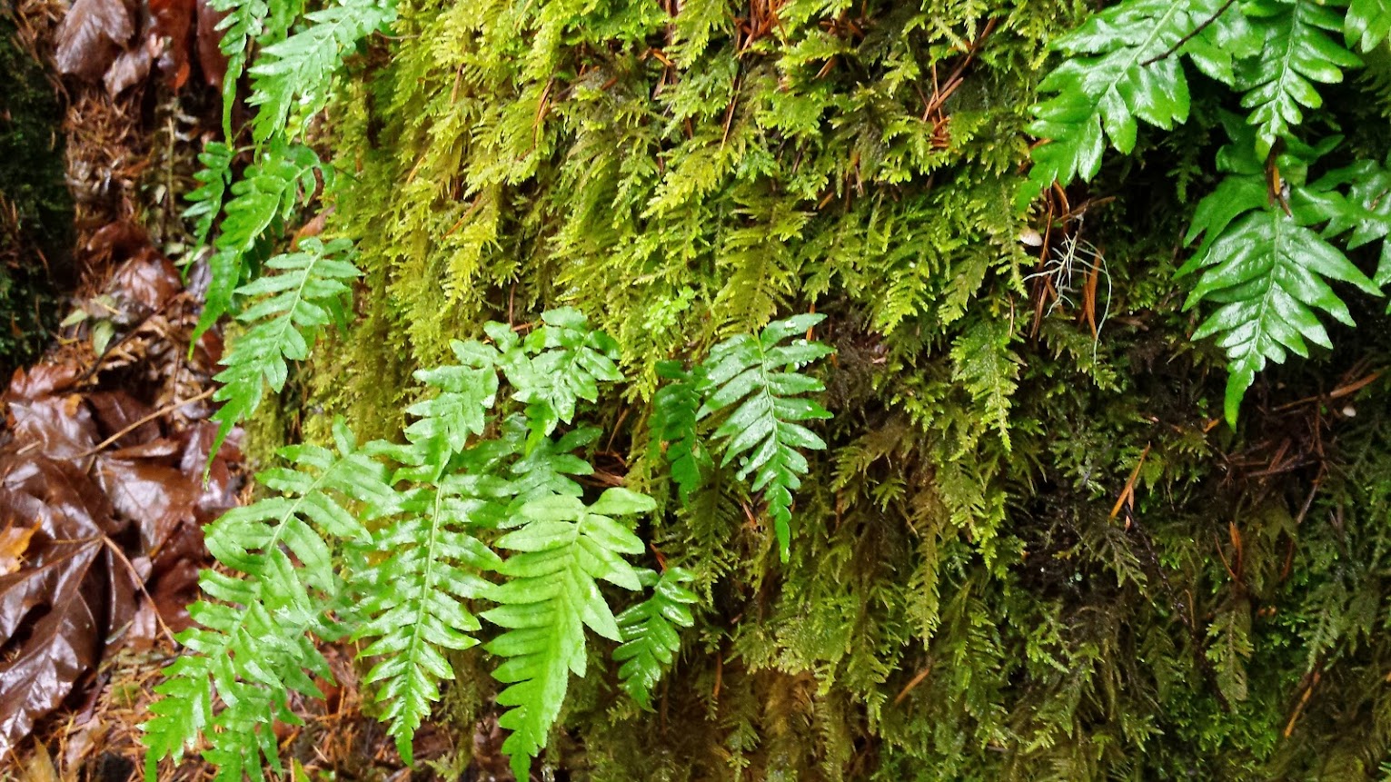
Mondo greenery:
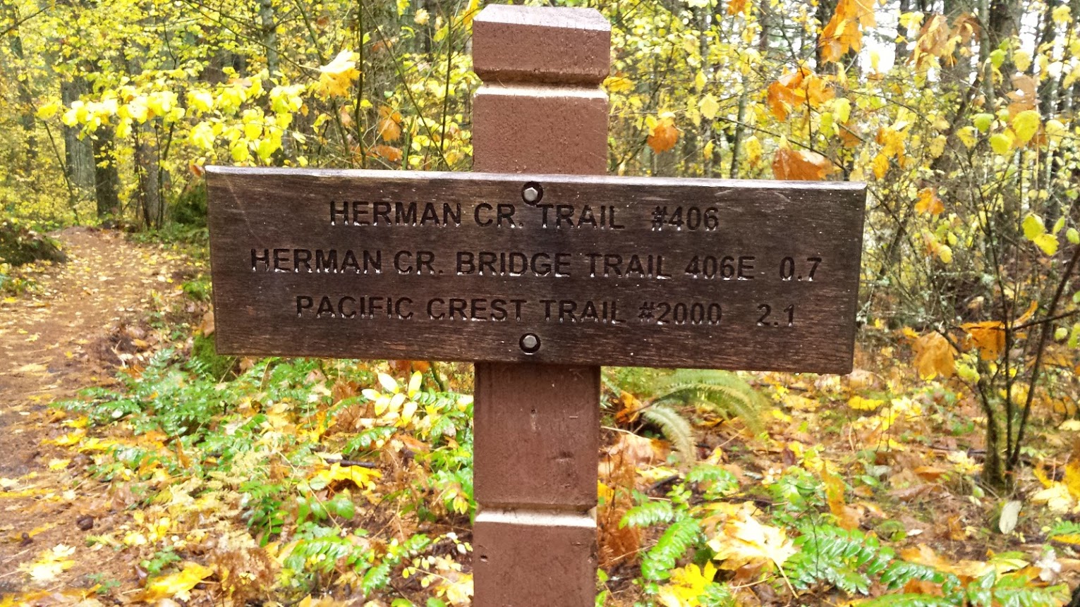
Quickly across the powerline road and to the Herman Bridge 406-E junction, a trail I haven't had the pleasure of hiking before today. I eagerly headed down it, and passed into a talus slope clearing w/ nice views of the slopes containing the Benson Plateau high above. I'd essentially be hiking below these cliffs all day.

The forest down here was almost a mini-Benson, w/ arrow straight pines of a similar age growing together.
Next up was the sturdy Herman Creek bridge. Super sweet!

Almost reminds me of that big 'ol horsey bridge across Hardy Creek on the other side of the Columbia.
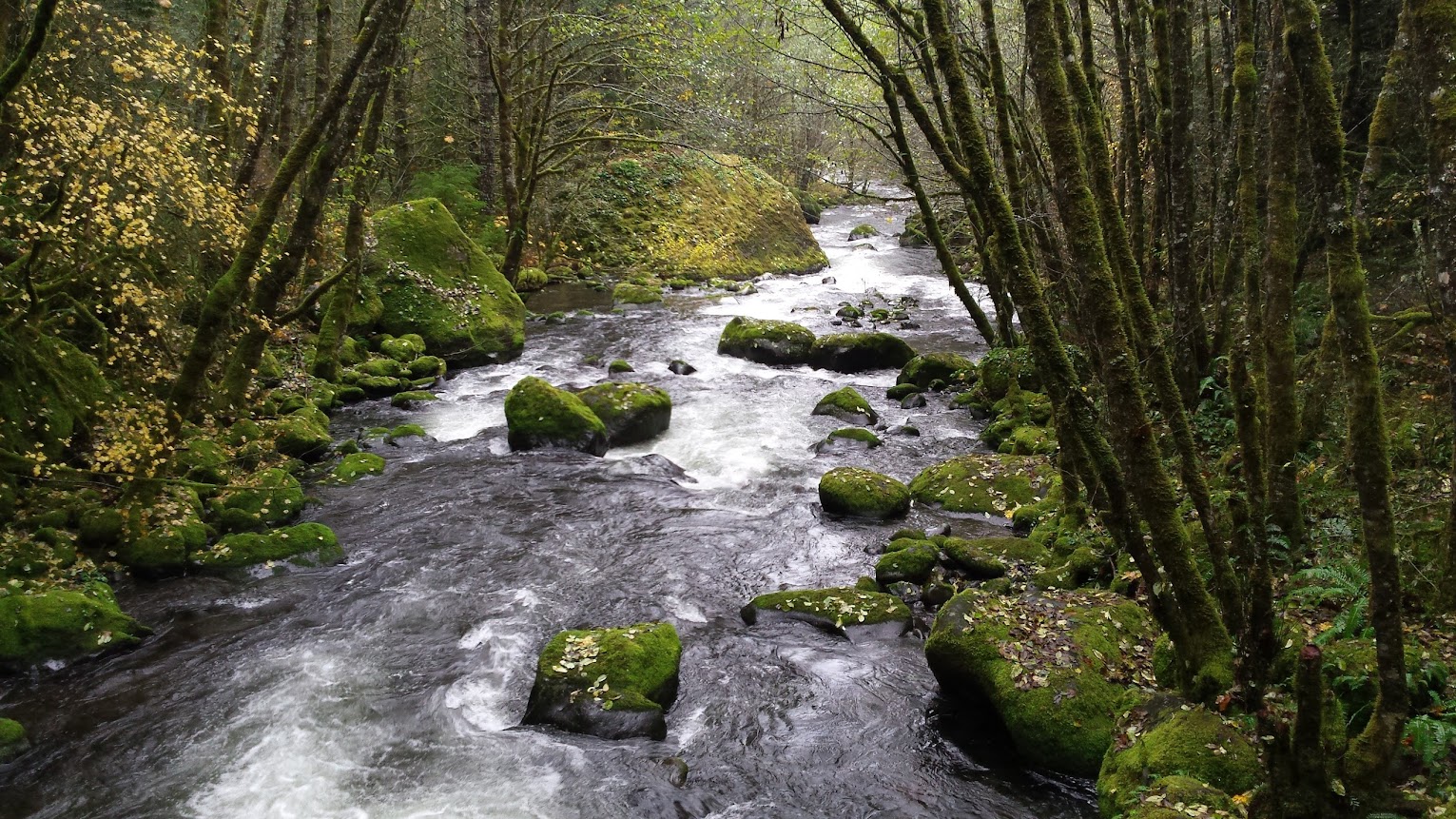
I hung out here for a bit and enjoyed the swollen Herman Creek, thinking about all the times I had hiked it's namesake trail and never actually seen a drop of it. The trail curiously avoids the creek for most of it's length, no?
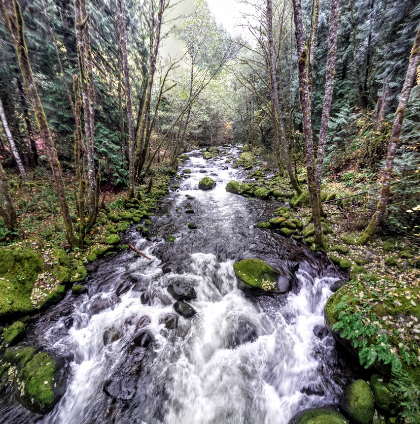
Looking downstream:
From here the trail climbs up towards the junction with the PCT, after it has dropped several thousand feet as it snakes its way down from the Benson Plateau. (NOBO)
If you go that-a-way...it's a long climb!

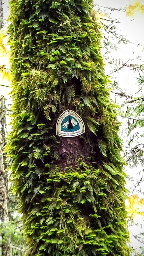
I wasn't going there today (maybe next weekend) so I turned around and continued (NOBO) on the PCT.
Several talus slopes to cross, which provide nice views. Still no rain.

Benson Plateau is up there:

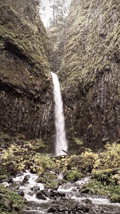
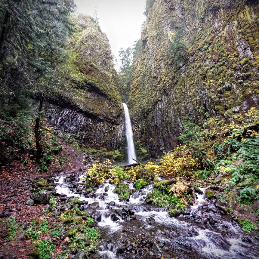
Back into the trees and small ups and downs. I came upon a nice surprise, which I later found out is called Pacific Crest falls. Thanks KT

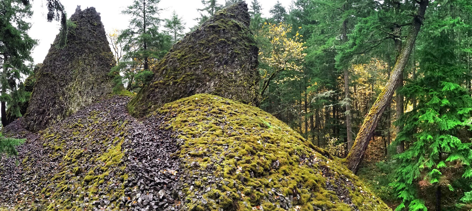
Shortly I came to a brief break in the trees where I saw a small use trail leading to a view of the Herman Creek pinnacles, two strange lava formations right off the trail.
You would easily walk past them if you weren't paying attention.
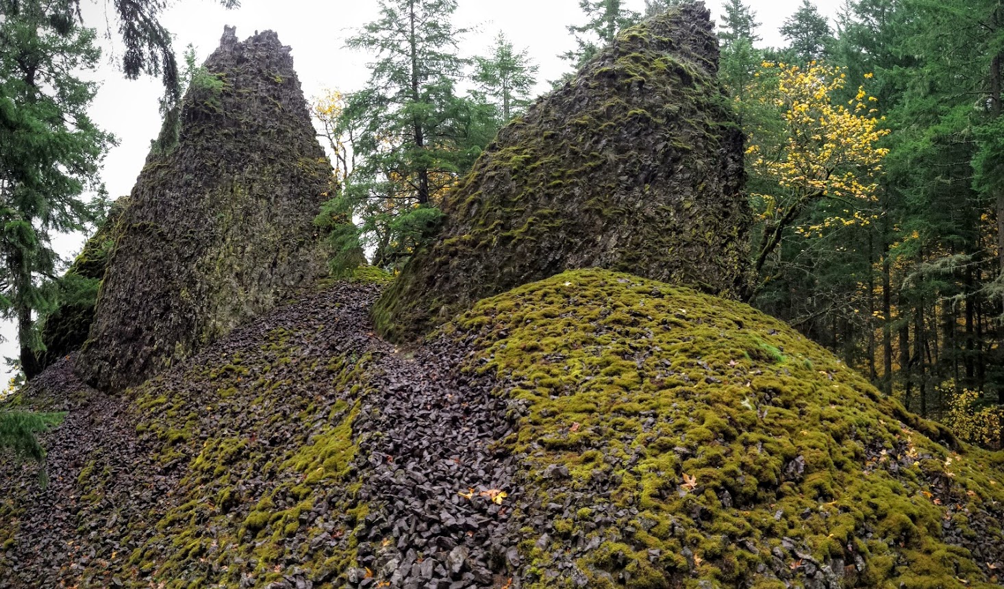
There appeared to be several use trails circumnavigating/climbing them and the remnants of a crummy campsite there. I suppose if one had to camp there, they could.
I original thought about calling it a day if weather was an issue, but since it wasn't I decided to continue to Dry Creek falls a few miles further so I could knock out this "section" of the PCT. Only 2,644 miles left after today!
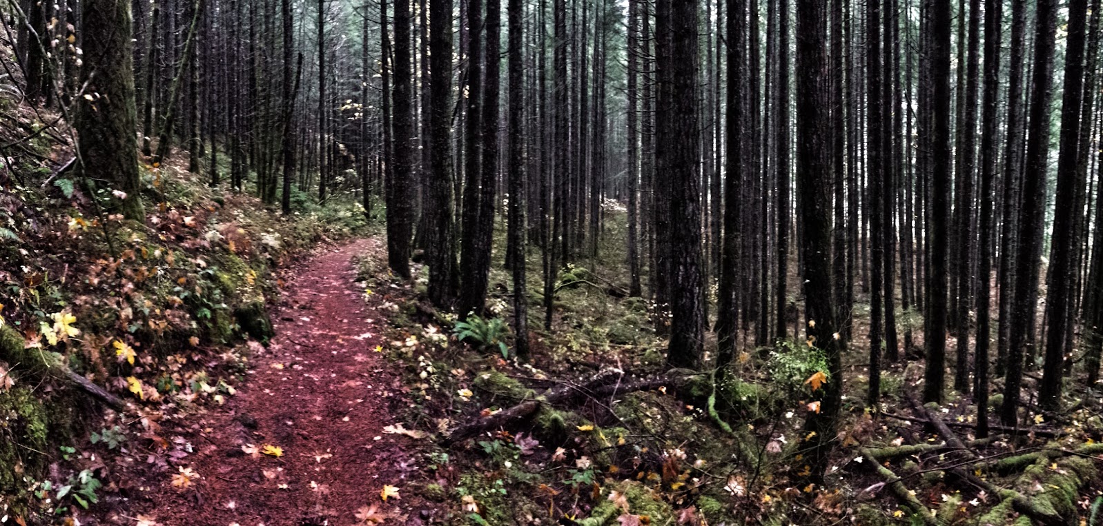
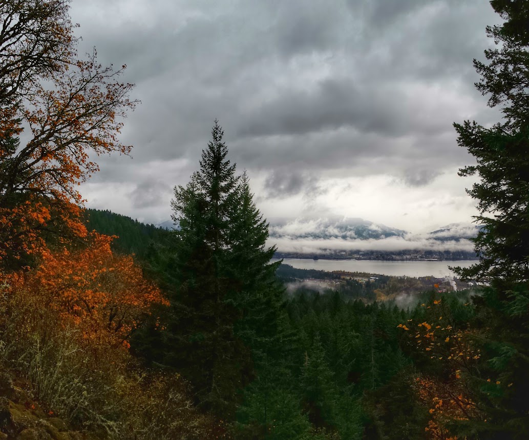
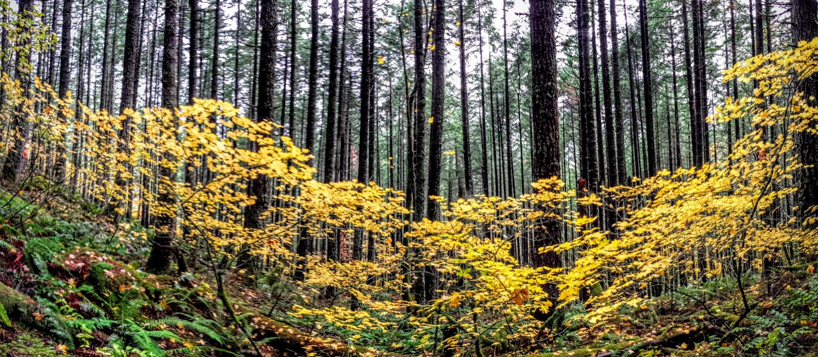
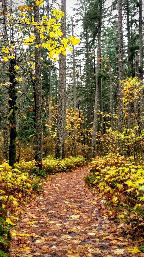
Typical trail views:


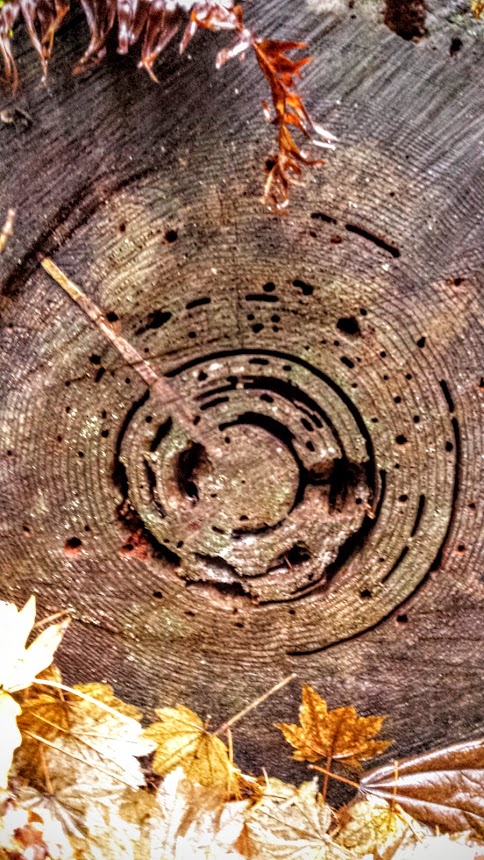
Still some foliage hanging on out there:
Soon arriving at the bridge across Dry Creek, then the road walk up to the falls.
The falls themselves were going good. I think it might be one of my favorites in the gorge.
Then it was an uneventful, though pleasant romp back to my car at the TH. I passed OH's "tschalpi" on the way back...or rather he blew past me at full bore, either training or in the midst of one of his daredevil challenges. I said "Hi", but he wasn't stopping for anything.
Here's a video of Herman Creek flowing nicely:
https://youtu.be/aQuvZBMYsDQ
GPS track
http://gpsfly.org/g/5128
Guess where I went after my hike?
Hint:


