
To do a loop, I had to take the Rocky Rim trail (USFS #1572) E and up to the divide. What I didn't know at the onset, but soon became painfully aware of, is that the first 3 mi or so of the 1572 beyond the TH have fallen into disrepair due to a lack of maintenance and its traverse of a burn caused by a lightning strike in 2002. So 3 mi of plowing through wet brush, over downed trees, and across eroded tread. I'd worn shorts (yes, it's mid-October but the air temps are still in the high 70s) so every encounter with sharp brush or ripping thorns was faithfully registered on my rapidly scarring legs.

Trail conditions improve a lot in the last 0.5 mi or so before reaching the divide at Rocky Ridge and I stopped there for a snack and the view - Bailey and Thielsen to the E,
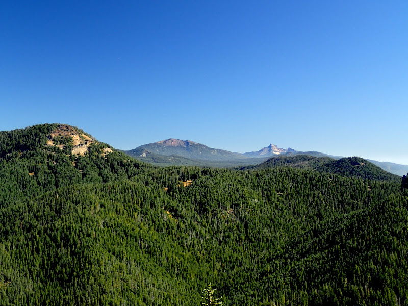
and Fish Lk below to the W.

The 1572 along Rocky Ridge is in good shape and the hike there went quickly (it's described here). After about 4 mi along Rocky Ridge, and some appreciation of small details,

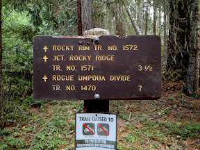
I reached the junction of the 1572 and the Fish Lk trail (USFS #1570), my return route. The 1570 descends rapidly off the ridge, skirting huge Highrock Meadow along the way,

under the eternal gaze of Highrock Mtn.

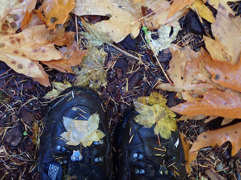
Beyond the meadow, the trail plunges into a deep forest, and stays there all the way to the lake. Fortunately, the forest gloom was periodically relieved by Fall colors.

Boots in Fall.
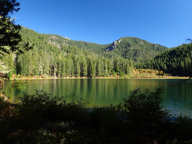
After about 4 mi heading downhill through the forest, I popped into the open at the lake, which appears much bigger in person than as seen from the ridge above.

Highrock Mtn in the distance.


Looking back up to Rocky Ridge.
The 1570 runs around the lake's N shore,

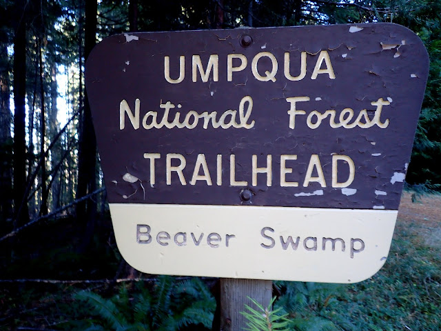
to a junction with the Beaver Swamp trail (USFS #1569). Because this trail runs through the same 2002 burn that had made the 1572 so much fun in the morning, I was worried that the last mile back to the TH would be an uphill struggle through fallen wood. But, not to worry - because the Beaver Swamp TH is actually the preferred TH for Fish Lk (as it is 2.3 mi closer to the lake than the actual Fish Lk TH), the 1569 proved to be both well-graded and well-maintained as it climbed up through the old burn.

Given its painful start, this was, overall, a pretty good hike (13.2 mi RT, 1900' EG) - the best parts being Rocky Ridge (views!) and, of course, the lake. There are a lot of trails in this wilderness but, based on my experience so far, I've found that they can vary unexpectedly in quality from good to very sketchy - and these distinctions are rarely discussed on the USFS website. So you have to approach hiking here with a little caution, a good map, and (
