

We arrived at the 6,800' TH under smoke-free, cool, clear, full bluebird weather conditions.

For the first 2 mi or so, the trail climbs gently but steadily up through the forest along the S Fk of Pine Cr. This is one of those wilderness areas we have to share with cows but we only saw 6 all day and none on the trail.

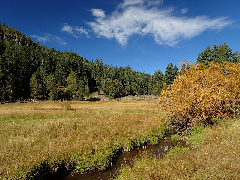
After 2 mi, the trail opens out into meadows and small lakes in Pine Creek Basin.
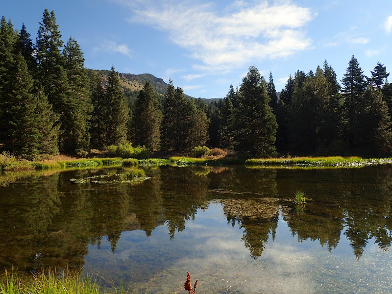

Some of the willows had turned color, signaling the start of fall in the high country (this is about 7,400').
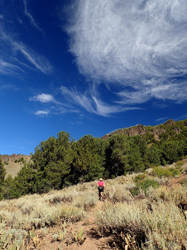
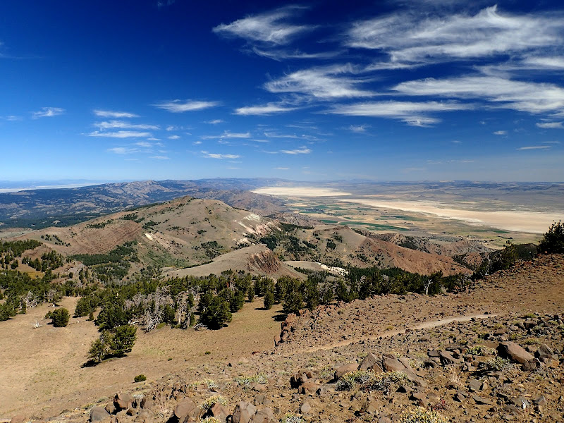
From the basin, the trail starts climbing a broad sagebrush covered ridge,

with views of the Alturas valley and Mt. Shasta.

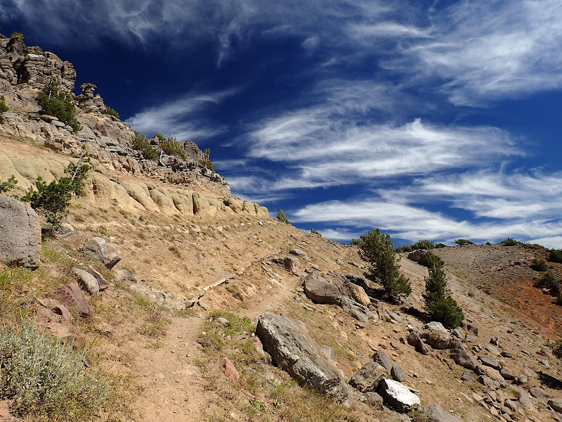
The trail works its way up the ridge, mostly through sagebrush but with an occasional aspen or pine grove. Despite the drought, we found that many of the springs shown on the map in this area were still running, some quite strongly.
After about 5.5 mi. we reached the wilderness' dividing ridge and a junction with the Summit Trail - which runs the length of the wilderness N to S.

We had a nice view back along our route and could, with a little squinting, see Mt. Lassen in the distance.

We then took the Summit Trail N toward Patterson Lk, under clear blue skys at over 9,000'.

The trail climbs up to a high point on the E ridge of Warren Pk,
and then swings around the ridge for an expansive view of Cedarville to the N.
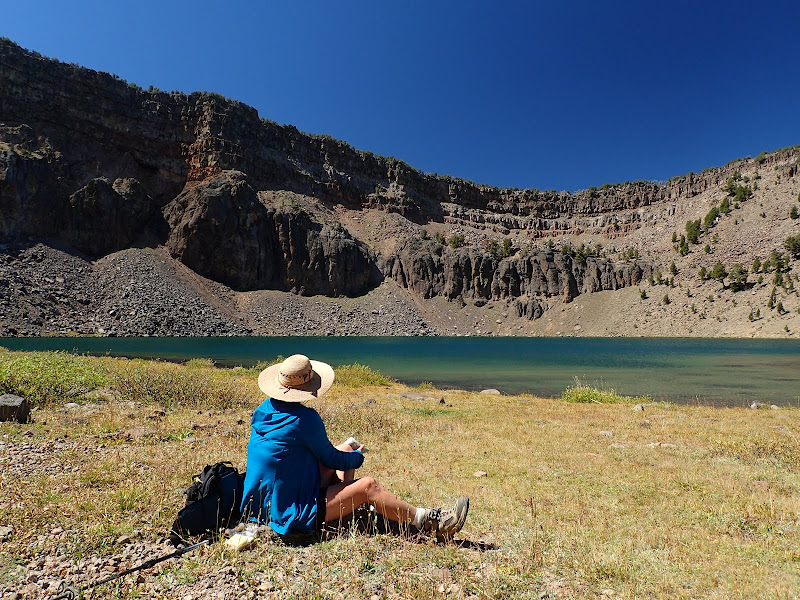
We then dropped down 300' to the shores of Patterson Lk, which featured a flock of ducks, fish, and crystal clear waters.

The geology here is volcanic and the different ash and basalt layers from different eruptions are starkly evident. The Warner Mountains are a fault-bounded block of the Basin and Range province and have been uplifted between 5,000 and 12,000 feet along the fault zones. Bedrock of the area consists of 5,000 feet of coarse clastic sedimentary rocks of Oligocene age that are overlain by 5,000 feet of rhyolitic to basaltic volcanic rocks of Miocene age.
After lunch at the lake, we retraced our steps, getting a nice view S along the spine of the wilderness - with Eagle Peak (the range's high point) in the distance.

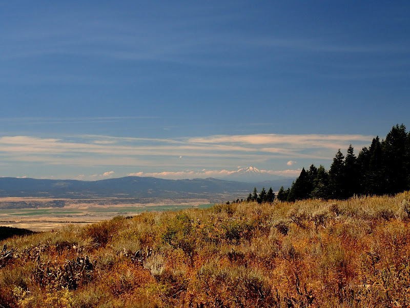
We descended through sagebrush,

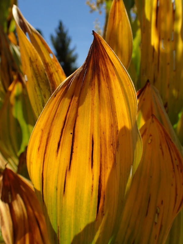
and patches of fading corn lilies that clustered around the springs that dot the slope.
We had another look at Shasta and of clouds that we hope are the harbingers of rain for this weekend,
and of the start of fall colors.


A totally awesome hike (12 mi RT, 2800' EG) in an area new to us and under perfect weather conditions!


