For my 7th consecutive summer trip to Eagle Cap, I wanted to explore new territory. I've seen most of the northern stuff (Polaris Pass is an exception!), and last year went to the SW side. Cusick Mountain (9518 ft) is the 10th highest mountain in Eagle Cap and is accorded to be one of the farthest from a trailhead. Scrambling up to it looked fun, and it was easy to devise a route in from the Cornucopia TH to the south, using trails I'd never been on before.
We left Portland after work on Wednesday the 29th and drove out to Baker City, then east to Halfway and up the dirt road to Cornucopia, arriving around 12:30am. We dropped our bags and pads directly on the ground and tried to get some sleep. Next morning we started up the Pine Creek trail, which you access by parking in the gravel lot just past the Cornucopia Lodge turnoff and then walking up the road, staying left at the fork and going past the corral, until the road turns into a trail.
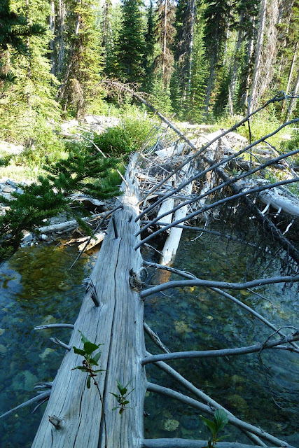
First bridge had a little accident.


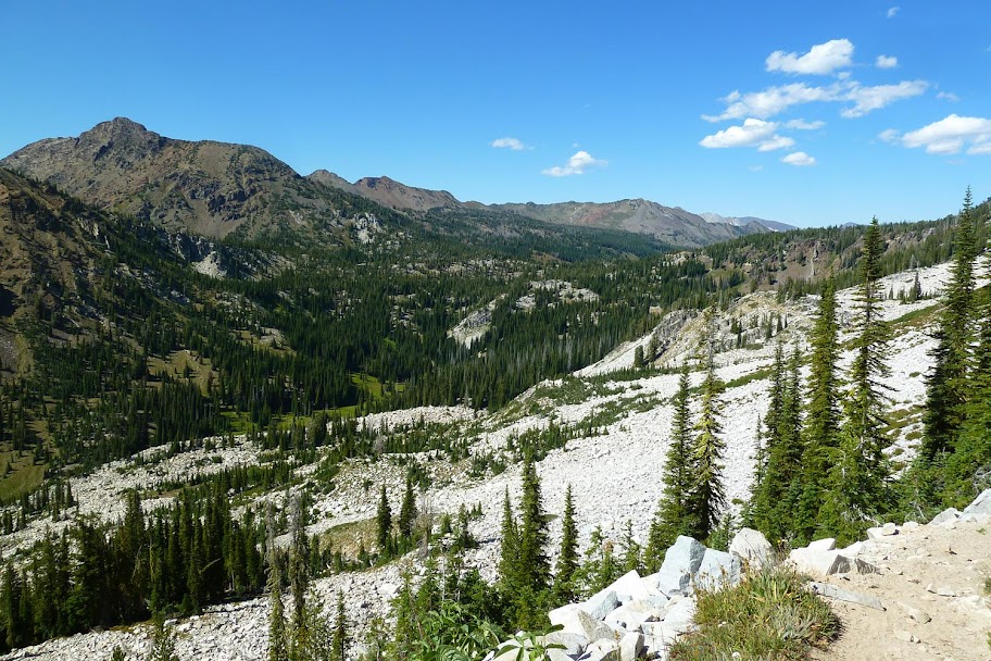
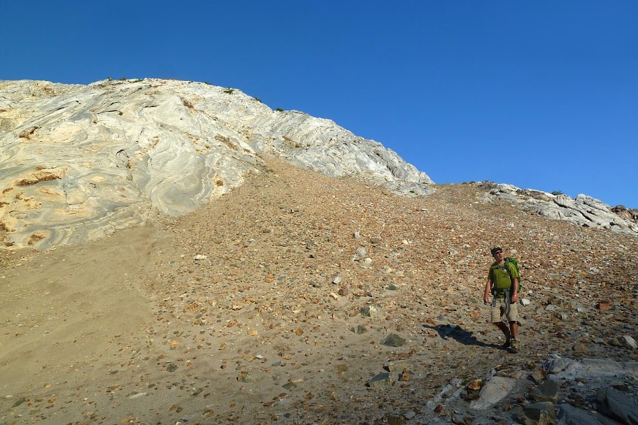
The trail wends west up into granite and towards the Pine Lakes.


Looking back down the valley.

Funny concrete wall and detritus under the Pine Lakes outlet.


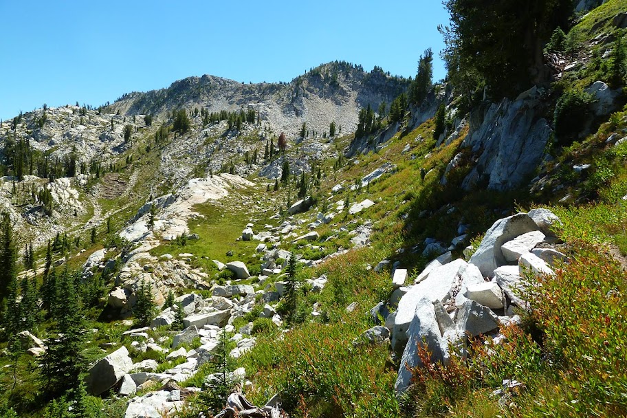
Continuing up towards Tuck Pass.
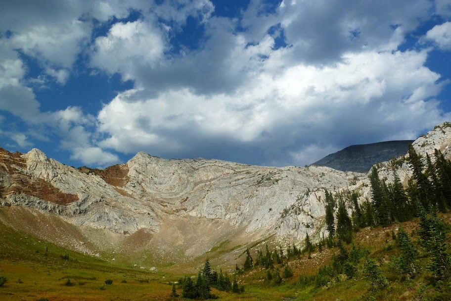
This area was very reminiscent of Alpine Lakes, with a bonus "high desert" vibe. Stunning.

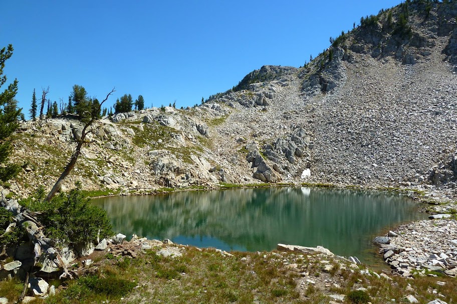
Tarn before the pass.
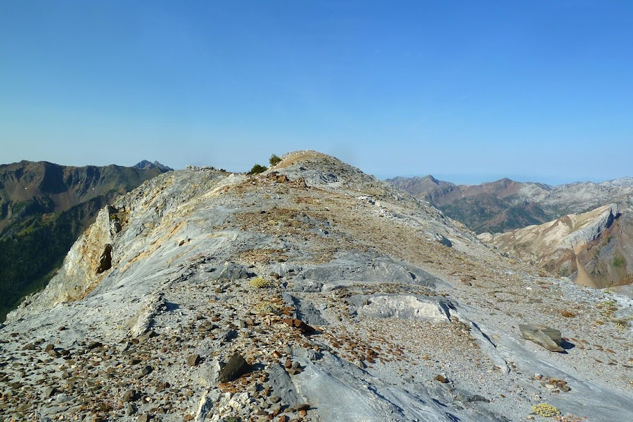
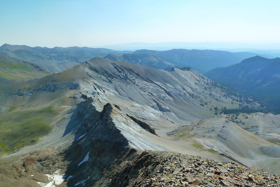
Atop the pass, the trail briefly headed south into vastly different terrain.

Then we zagged back north towards Crater Lake. Krag Peak looms upper left.
Under Granite Mountain.
Sunset at Crater Lake.

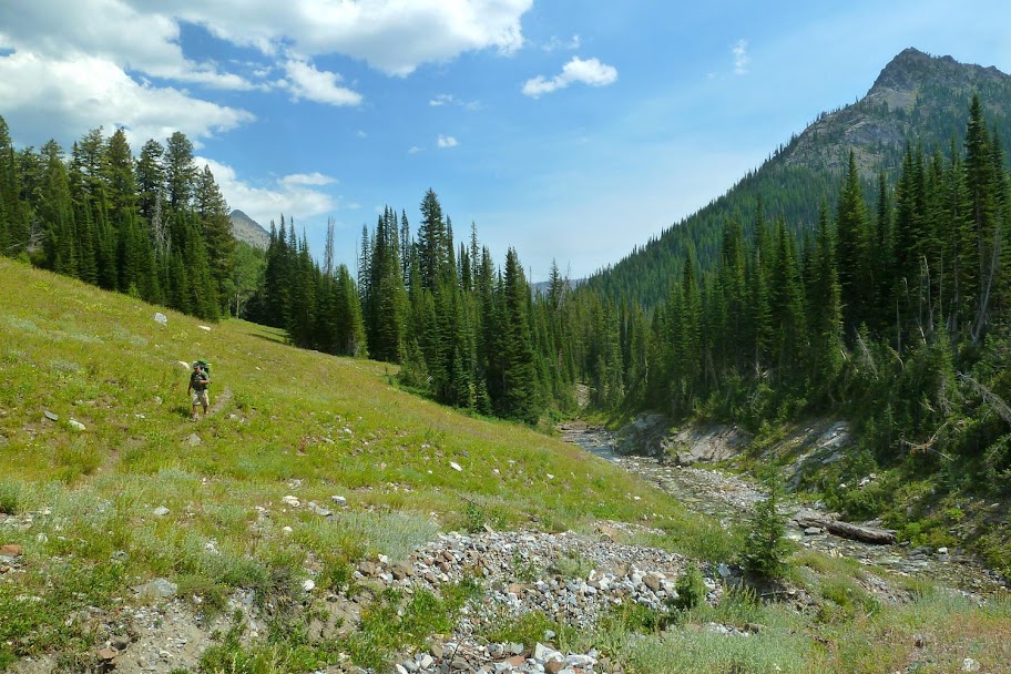
Because we'd gotten in so late the previous night and had been awakened early by the caretakers at Cornucopia, we sacked out and slept in till 8am. A leisurely morning meant abandoning plans to scramble Krag Peak, so instead we continued north on the Cliff Creek Trail towards the S. Fork Imnaha River.


Down at the Imnaha after rock hopping across.

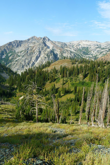
Heading NW along the Imnaha. First views of the backside of Cusick Mountain.


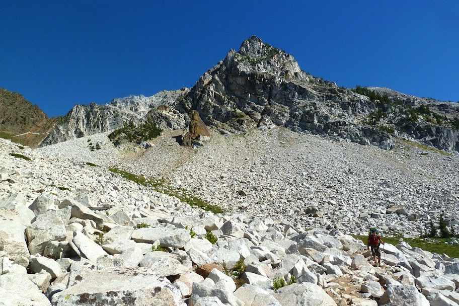
The trail wraps around the south side of Cusick and goes into a cirque of cliffs before it continues up over Hawkins Pass.

Cusick is the dark peak in the upper right.
We stopped in the basin and made camp. It'd been a short day so we got to laze around the meadows by the headwaters of the Imnaha.
I got a bit of a "scatter my ashes here" kind of feeling about this place. It was... perfect.

The panorama flattens out the way the cliffs curve around you and hold you in the basin.

Looking up into the bowl on the west side of Cusick that we'd use to access the summit.

Dusk.
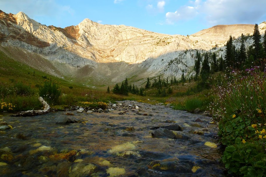

This tiny stream is the headwaters of the S. Fork Imnaha.

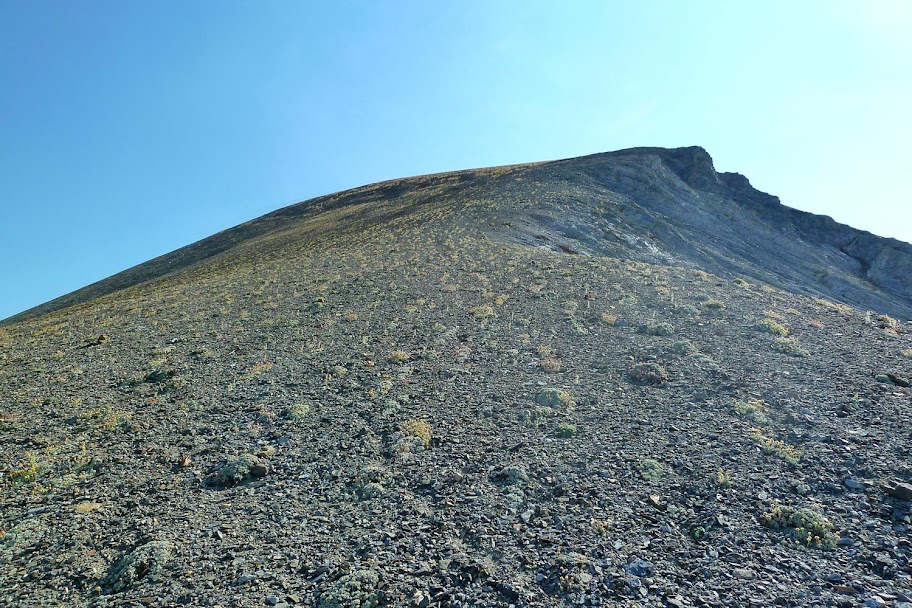
The next morning we headed up into the cliffs.


In the bowl and looking up at the summit (L) and false summit (R).

We walked the scree and talus up to the saddle between the summits (upper left).

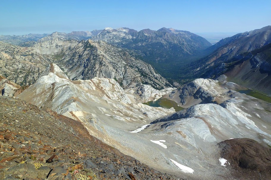
Looking back down from higher up - now we can see over Hawkins Pass to Glacier Peak and Eagle Cap (Peak) in the upper left.

The route up to the summit looked sheer and loose, so we went up the false summit first just in case that was the best we'd get.

Summit of the false summit. (Very Matterhorn-esque.)
The route to the true summit went up that sheer looking slope opposite us.

Back at the saddle and heading up.
Looking down from partway up.

The slope turned out to be very manageable - kind of like climbing to Piker's Peak on Adams, but on shale. One foot in front of the other and just walk straight up.

It leveled off into a grassy ridge leading to the true summit.

Looking down the north ridge. Below it is Six Mile Meadow, and the West Fork of the Wallowa River heading north out to Wallowa Lake.
The sheer NE ridge. To the right is the Middle Fork of the Imnaha.

Obligatory summit shot. Glacier Peak/Eagle Cap behind me on the left and the Matterhorn behind me on the right.


Doing a bit of boot skiing and running down the scree made the 700 ft descent back to the saddle a snap.

Back at the edge of the bowl and about to descend back down to the valley and camp.

A bunch of lovely little streams originate under Cusick and flow together to create the S. Fork Imaha. Fantastic drinking water.

We got back to camp about 4 hours after we left. There was some extra time to kill, so we hung out by the river and leisurely broke down camp before heading back down the Imnaha.


The S. Fork Imnaha down by the Blue Creek trail junction.

We had planned to stop at the junction but there weren't any nice camps, so we continued on. A tree bridge allowed us to skip the ford.
After this, it was a humid slog up the Blue Creek trail. It was getting late-ish and we hadn't refilled our water. After a few miles we finally met up with the creek and continued on to the next trail junction. There weren't any campsites here, but it was time to stop and make dinner before it got dark, so we set up shop right in the middle of the trail. Not an elegant campsite, but it did the job.
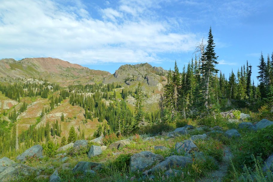
The next morning we crested the pass at the junction with the Sugarloaf trail.

Then continued down into Norway Basin for an exceedingly lovely finish to the trip. No Fake Creek Trail this time!

Looking west to the granite of the Pine Creek drainage where we'd come up 3 days before.
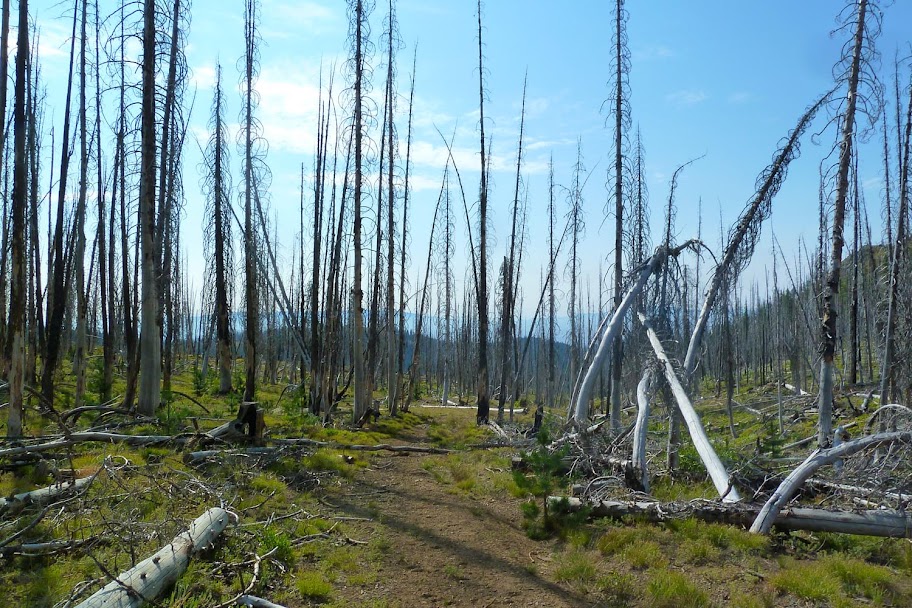
The last part of the trail takes you on a jeep road through a burned forest and down a steep and rocky roadbed back to Cornucopia.

Last crossing.

And back at Cornucopia! We went in via the Pine Creek trail past the corrals on the left, and came back on the Norway Creek trail which came down on the right.

Map showing the GPS track of the route: roughly 39 miles and 9200 ft EG. You could do it in fewer days, but it would make some of the days really long and rush the climb.
[Edit: map redacted. Digital LNT.]
I'm going to go out on a limb here and say that of all my trips to the Wallowas, this may be the best. Every section of the trip was amazing and beautiful in its own way, from the stark granite of Pine Lakes to the scruffy desert sage on Cliff Creek, the basin that I never wanted to leave under Cusick to the super fun climb to the summit, and the subdued loveliness of Norway Basin.
I ♥ Eagle Cap.