

Chikamin is in the SW (Snoqualmie) part of Alpine Lakes, sharing the same 5 hr drive through Roslyn as Tuck & Robin Lakes, but at the top of Cle Elum Lake you turn left onto FR 4600 and then descend a gravelly road to the tiny Mineral Springs TH.
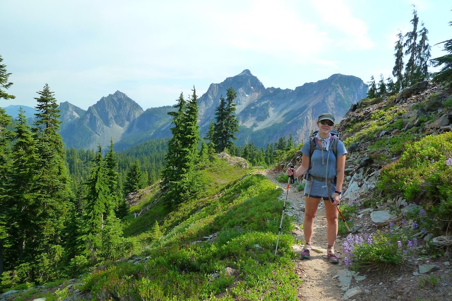
The Mineral Springs Trail is renowned for being a bit... overgrown.
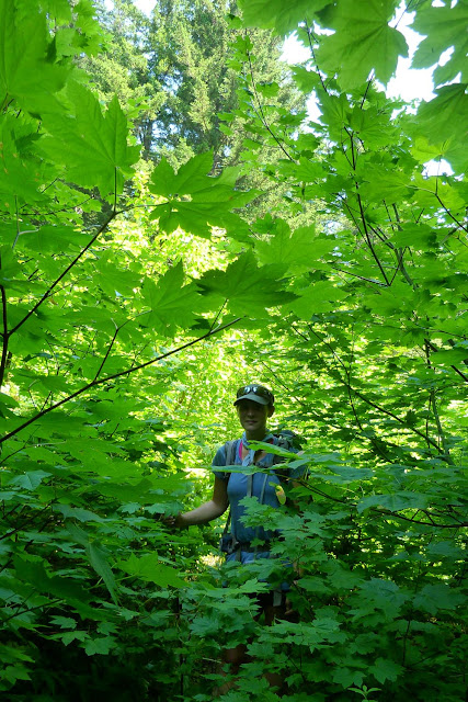
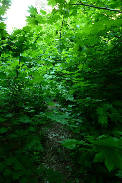
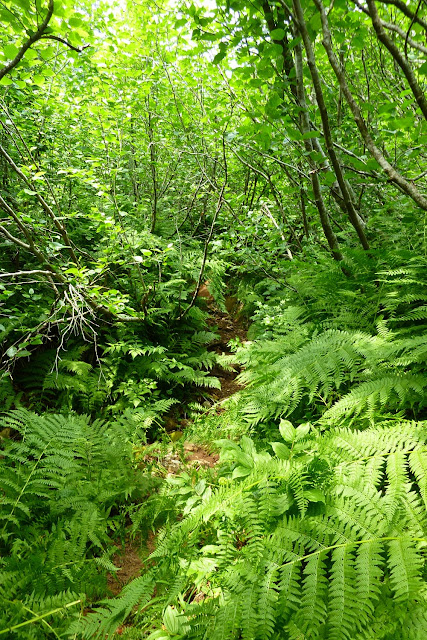
It was a hot day for a jungle hike up the valley. My watch was reading mid-80s. We were drenched.

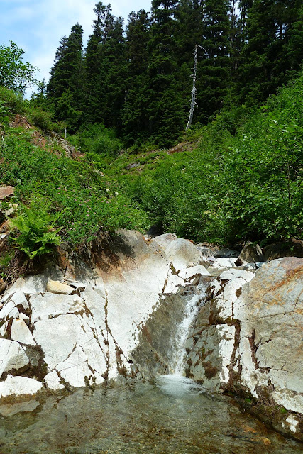
The outlet stream from one of the Park Lakes provided some nice relief - the water wasn't too cold, and there were some slabs where you could lie down and let it wash over you.
6 miles in, up at the Park Lakes.

Cresting Chikamin Ridge. Hibox (L) and Alta (R) peaks across the valley behind.
Left onto the PCT, then right onto the unmarked (and non official?) side trail down to Glacier Lake. First view of the Chikamin area in all its craggy wonder.

Also, there's no snow. It must be late August. Let's do the Time Warp!
https://youtu.be/sg-vgGuTD8A
A short but steep descent down to Glacier Lake.

Chikamin Peak in the upper left. Summitpost describes it as the "first mountain north of Rainier to reach over 7000 ft."

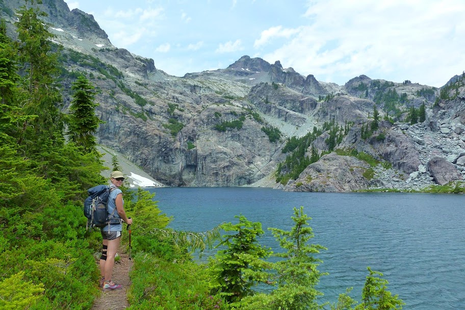
Glacier Lake, our camp for the night. Hard to see in the pic, but there's a little waterfall dropping down from the cliffs into the lake.

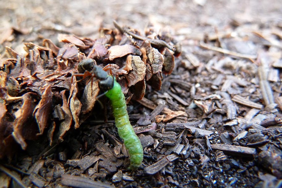
There are only 3 established sites at Glacier (that I could find), and we snagged the last one. Setting up shop, I spotted this ant trying to kill a caterpillar to bring home to the family for dinner.
Warm overnight. We only brought 1 sleeping bag to drape over us. I only slept under a corner of it.
Glacier Lake in the morning:

I didn't get a super early start, but was off around 7:30 to climb Chikamin and Lemah 1 (the south one next to Chikamin Lake). The hiker trail wraps around the right side of the lake, then climbs up a big boulder field and continues, like much in the Alpine Lakes, as a use path marked with cairns.
Looking back across Glacier Lake the other way at the Three Queens:

I decided to go towards Lemah first, since it was farther away, letting me skip Chikamin on the way back if I ran out of time. I lost the use path after a while and ended up just climbing and traversing various slabs and meadows. Eventually I spotted my first glimpse of Lemah 1 and Chikamin Lake.

I seemed to be too high to easily get down to the lake, though, and finding myself on the shoulder of the east ridge of Chikamin, I changed tack and decided to head straight up the rock ledges to the peak.

High up on the east ridge, I realized my error, as the "normal" route starts much lower and runs up the south facing slabs above Chikamin tarn. The east ridge cliffs out.

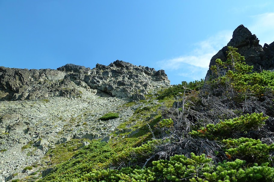
I backtracked a little and climbed up through the lighter color notch in the darker rock, then traversed left across some ledges to the top of an easy downclimb gully.

My ledge crossed the black rock in the foreground.

Down the gully and starting to cross the slopes of the south face. Looking back:

And then to the saddle between Chikamin and the Four Brothers, and back onto the easy climber path up the south ridge to the summit.
Kind of choose your own adventure up towards the top - lots of options. I chose a series of ramps that took me to an 8 ft "climb." (Class 3ish?) Then around a shelf and up onto the summit.
Views SW towards Joe Lake, Huckleberry Mountain, and Mount Thomson.

And to the south, down to Glacier Lake and Spectacle Lake (farther behind it), and The Four Brothers (closer, on the right) and Three Queens (farther, in the middle).

Pano to the NE of Chikamin Lake and Lemah Mountain. ("Lemah" is Chinook for "hand," and the mountain has five summits.)

Closer view of Chikamin Lake and Lemah 1. Glacier Peak is visible in the distance in far left horizon.

I figured there wasn't going to be time to get up Lemah, but I did want to see Chikamin Lake. I decided to try my hand at wrapping around the west face and gaining the NW ridge next to the snow down below.
Weird rappel anchor on the way down. Probably should have pulled it as "trash." Many options to descend that don't require downclimbing that little 3rd class bit, so not sure what people were doing here.

Back down at the saddle, I descended to the west and crossed a crest until I found a goat trail along a rock wall.

I popped out on the NW ridge without much trouble.

I then descended snowfields and rock slabs until I reached the lake. Lots of nice wildflowers out, since it's
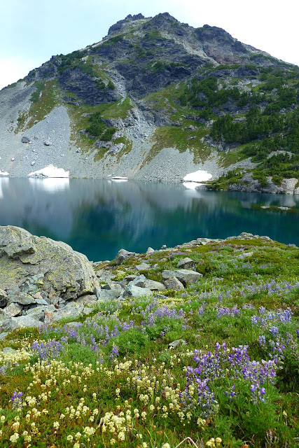
Pano of Chikamin Lake. Lemah doesn't look as steep cause of the lens perspective, but it looked plenty steep from the bottom! Supposedly there's a little 4th class step at the top. I'll have to go back...

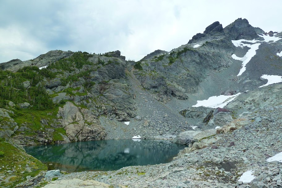
Tarn under Chikamin Peak, just below Chikamin Lake.
Heading back to camp across the rock benches.

Packed up and heading out.
I didn't get a track of the scrambling, but here's a little rough Caltopo map.
I guess the upside to the latter option is that all the mosquitos up at Glacier Lake will be dead.


