Another of my after work specials.
My friend Johnny and I took our bikes along to complete a loop with a stop at Tumala Mtn, using the Fanton Trail #505 and the Old Baldy West Trailhead. The field guide was our inspiration, per usual. Good stuff there. I've included some photos showing certain landmarks to make navigation easier if/when the signs are destroyed.
Initially we planned on doing the entire Fanton Trail but we were slowed on our approach by an accident on OR 224 about 10 miles W of Estacada which set us back about an hour. We shortened our hike by continuing up the road several miles to one of the areas where the Fanton #505 trail nears the road.
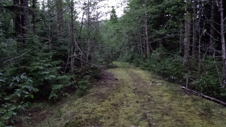
After leaving our bikes chained to a tree at the Old Baldy West TH, we drove back down the 4614 rd several miles and parked about 50 yards up a spur road where it has been bermed. Initially we had some trouble locating the trail as all the signage has been destroyed or stolen.
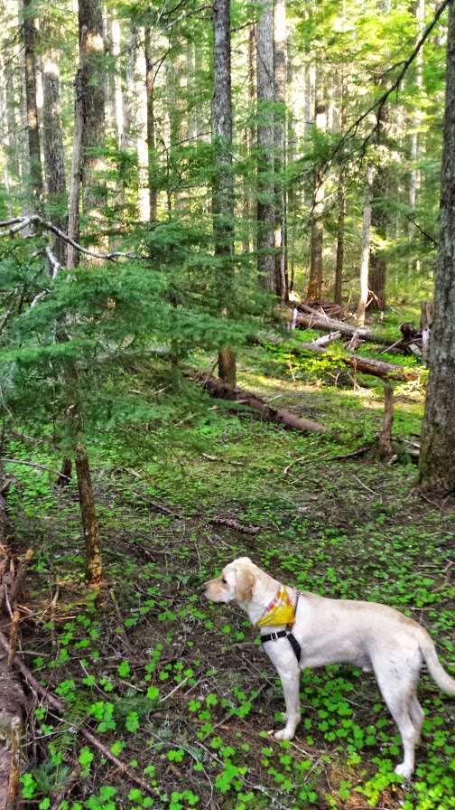
Where's the trail, boy?
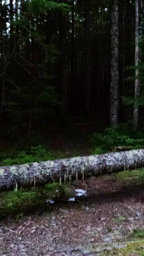
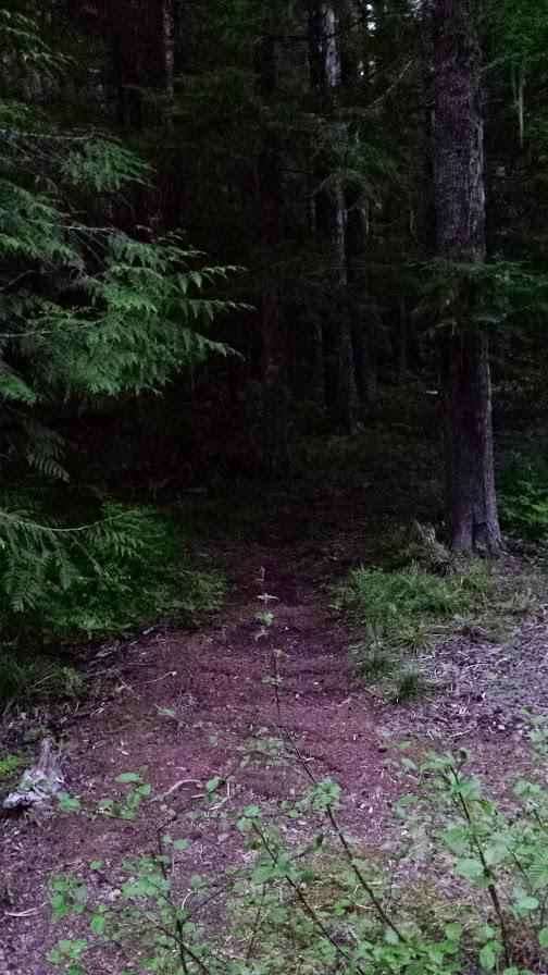
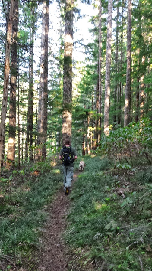
On my map/gps it showed us standing on the trail, but there was no trail. We started up the ridge paralleling the road sure that we would eventually find it, and sure enough we did. It seems the trail begins further out the spur road beyond the berm.
Found it:
It was a steady and uneventful climb to where we arrived at the next spur road, which is the Upper Fanton TH.
A helpful informational sign:
Here we could make out the gurgling of Fanton Creek, from which the trail takes its name.
Small falls:
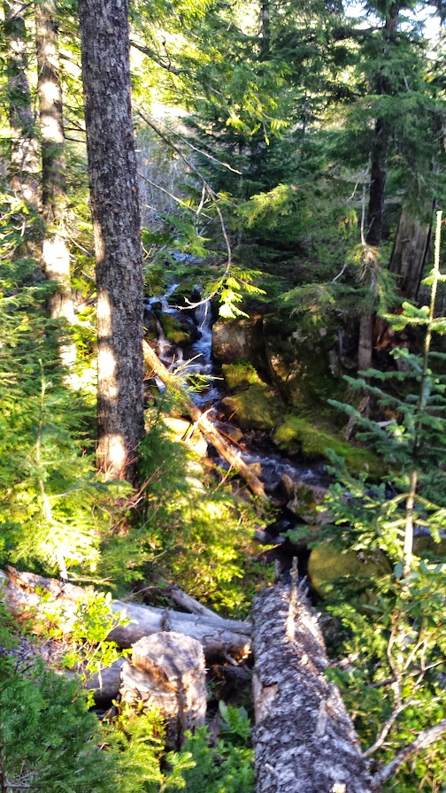
It's actually a beautiful little creek, flowing happily out of sight below an ugly road and gravel parking area. The creek is undercutting the road and will soon cut off the gravel lot, allowing it to return to a more prisitine state in a century or two.
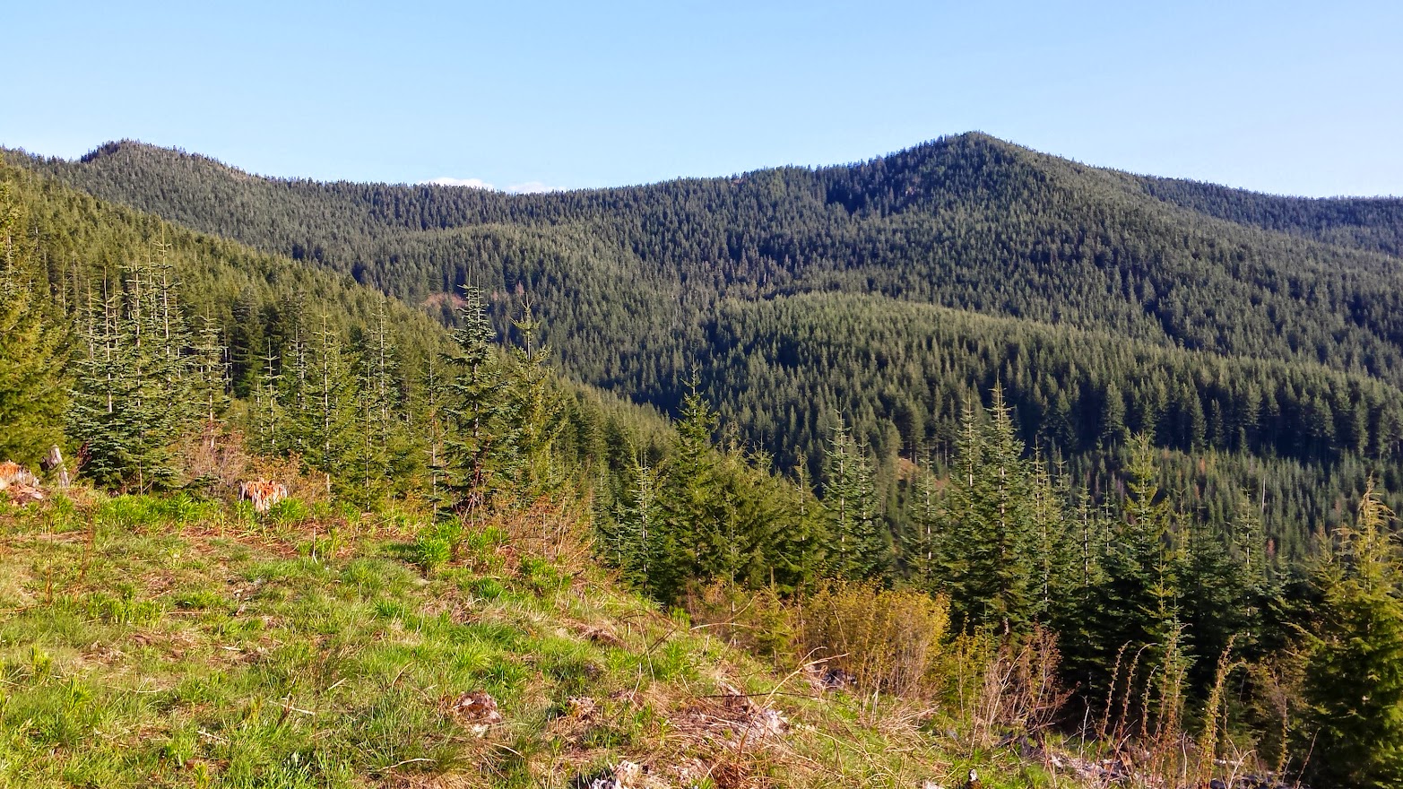
View of the destination from the gravel lot:
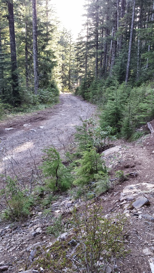
This is a view looking back down the road from where the trail originates:
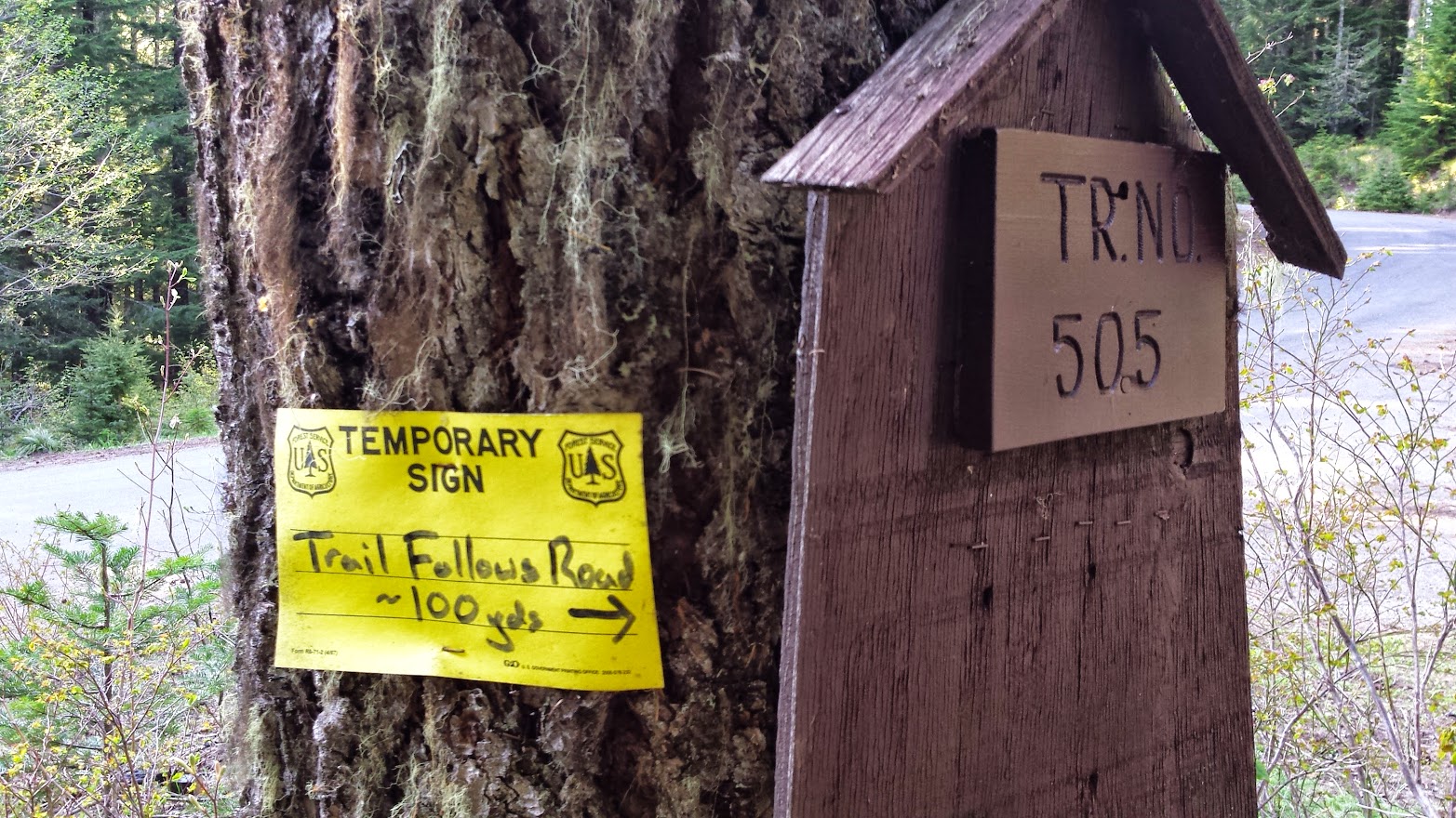
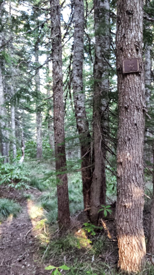
An apologetically blurry photo of the trail sign, says "505":
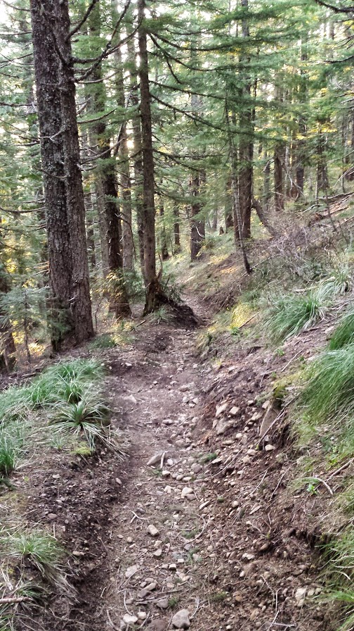
The trail from here starts out rambling pleasantly through some nice woods past an inviting creekside campsite. It eventually starts climbing again steadily; you will come to the junction where the Fanton Trail terminates at the Old Baldy Trail. Here you will go right on the Old Baldy Trail #507 to reach the summit of Tumala Mtn (signed Squaw Mtn).
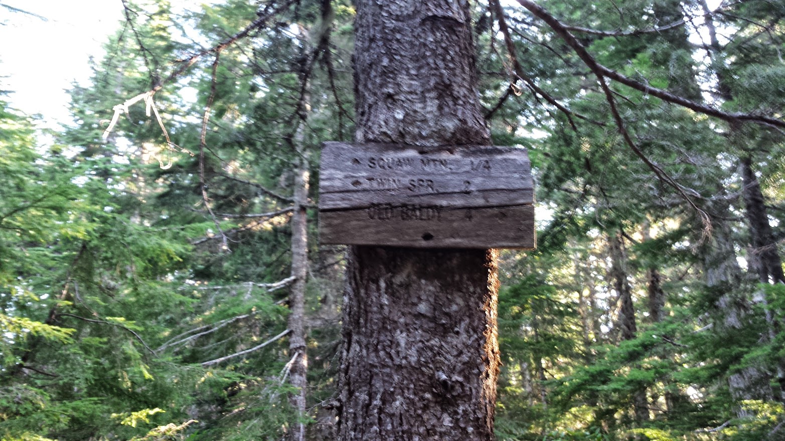
A little further along is another junction where the spur trail to the summit joins the Old Baldy Trail.
A blurry sign points the way:
There are a few spots where you have a brief window through the trees that look down on the Eagle Creek drainage and out towards Mt Hood.
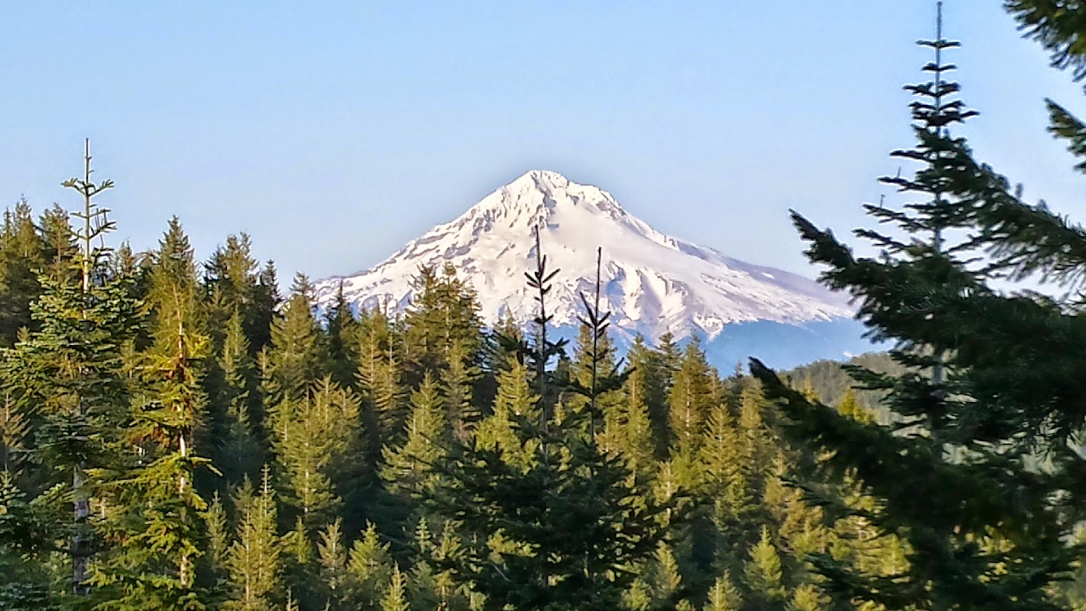
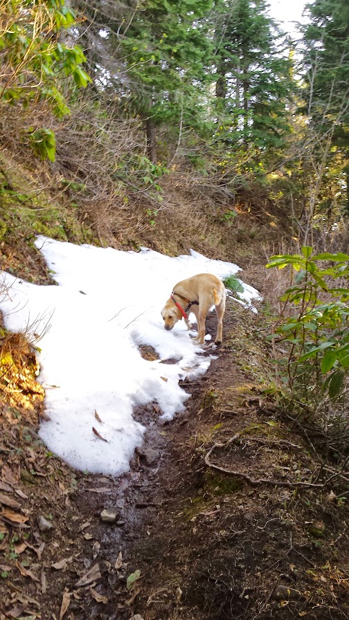
We actually saw some snow beyond here at 4400', and Grandpaw enjoyed a slushy:
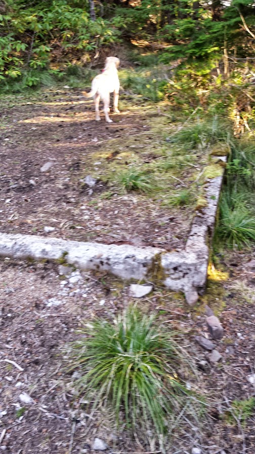
The spur pops out on a 4wd road to the summit that obviously sees traffic:
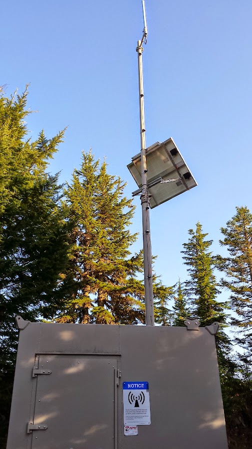
There is some kind of electronic equipment up here, with a warning about electromagnetism or radio waves or death rays, etc.
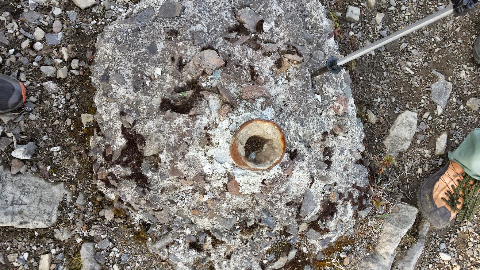
Some kind of old foundation has become a firepit, campsite, etc.
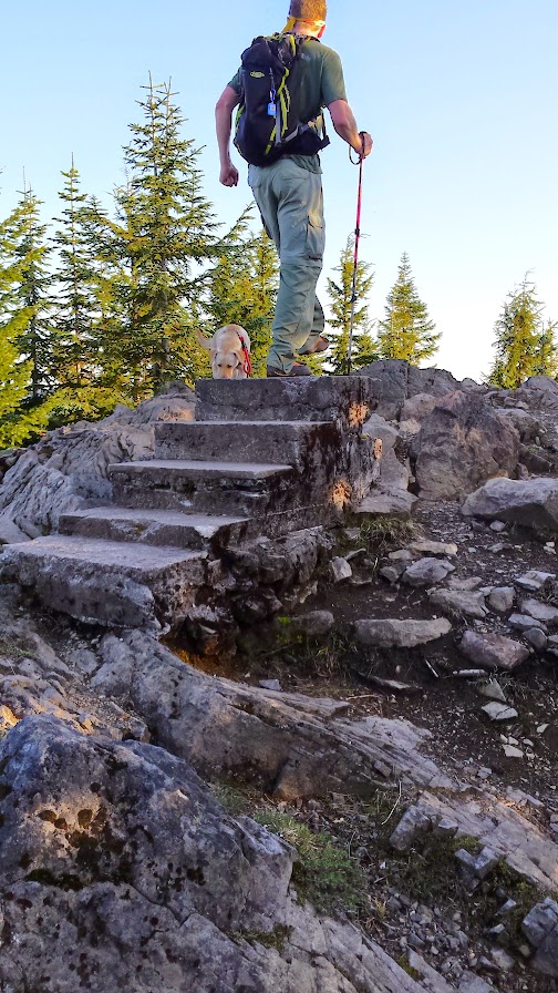
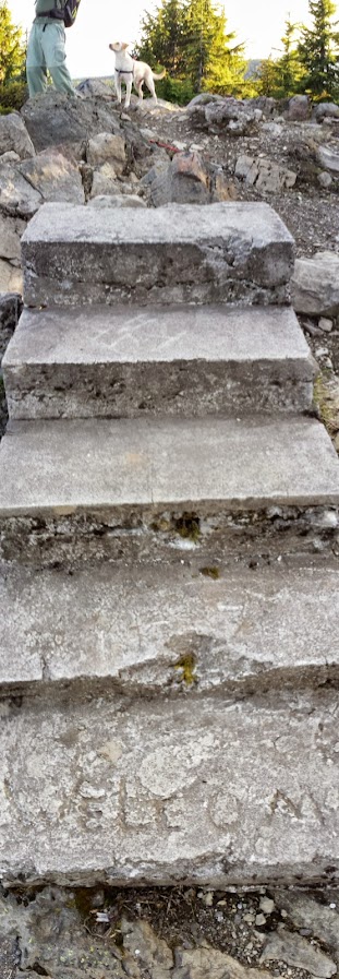
Just beyond this old ugly stuff is the real reason you came up here. Here is the former lookout tower site, complete with a set of stairs to nowhere!
Some sort of something:
Even a "Welcome" mat:
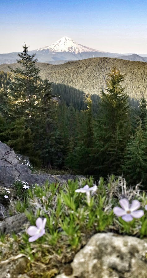
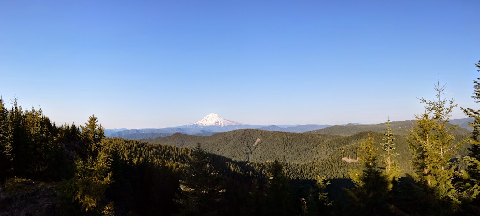
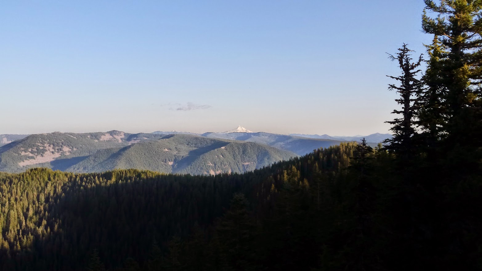
But oh! the view!
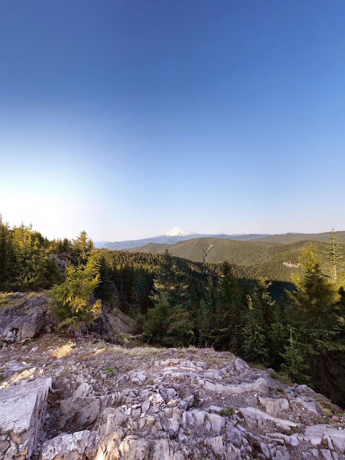

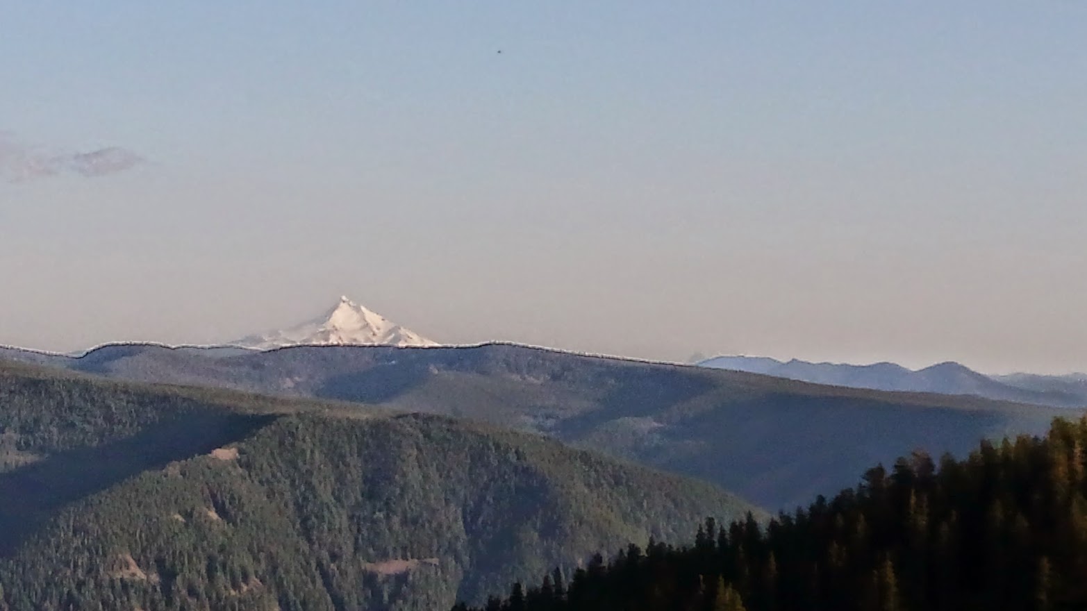
South towards Jeff:
We could even make out the faint tips of the Three Sisters and Broken Top.
Zoomed in on a cellphone:
I think this is Signal Buttes:
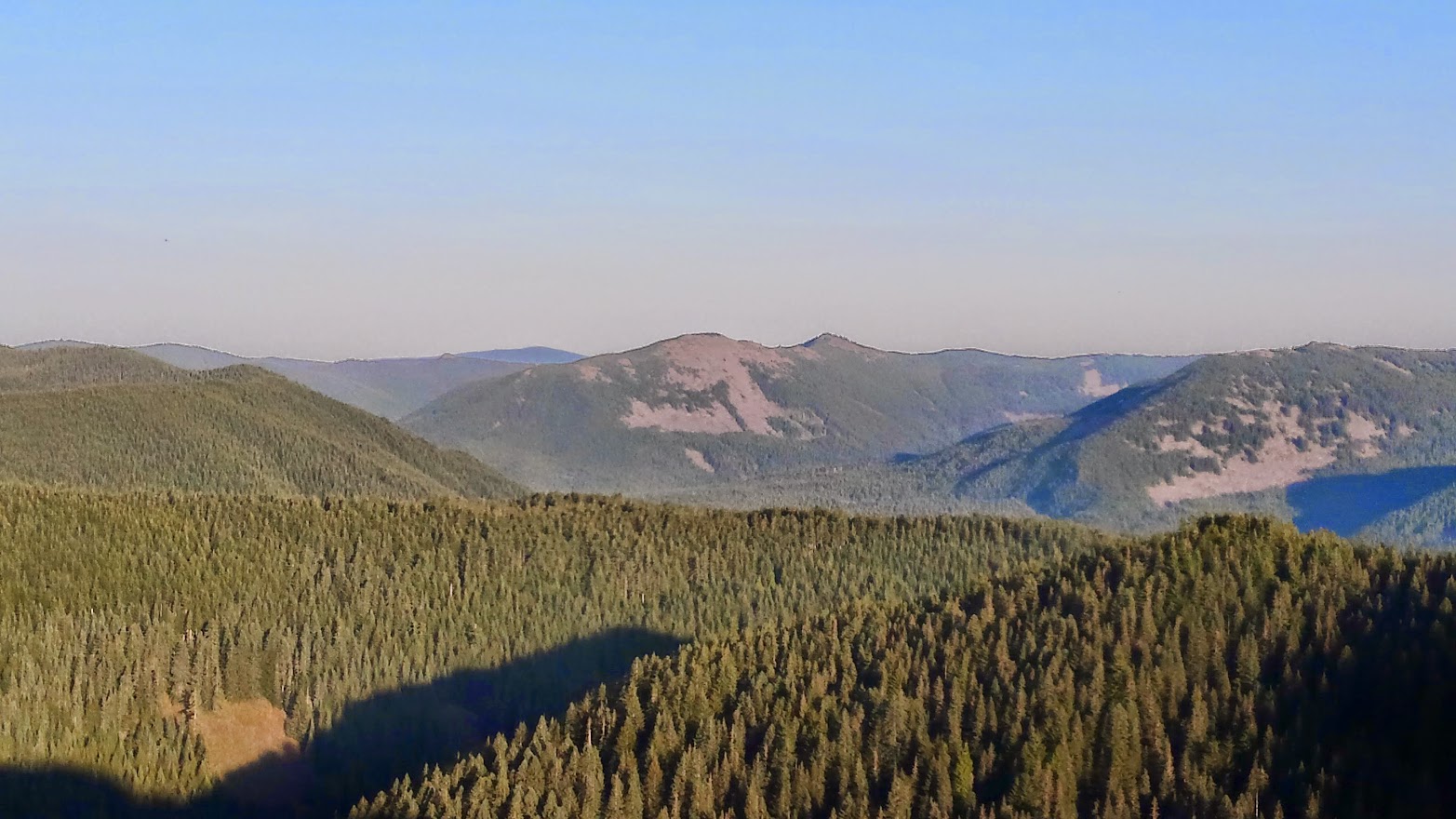
Zoomed out pano, there's lots here:

A little further out the ridge you get amazing views north and even west towards Portland and the Coast. Here's a zoomed in shot showing Wildcat Mtn, where I was a few weeks ago, in the foreground; Larch Mountain & Sherrard Point is the ridge just below the faint outline of Mt St Helens. Silver Star is on the far left.

Too faint/blurry for photos, but we spotted Mt Adams and Rainier, and we could even see beyond Portland to the faint peaks of the coast range. Truly a special viewpoint! It was hard to pull away, but we had some miles to cover and it was getting late. Heading back:
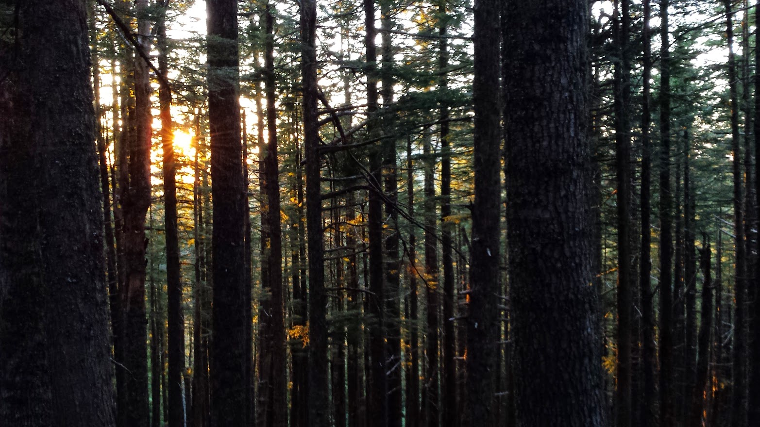
Evening approaches, and the golden sunlight was filtering through the trees. I just love moments like this:
We continued on the Old Baldy trail past the Fanton Trail on the way back, and near our exit a sign marking the realm of a future exploration:

Looking back from the Old Baldy/Eagle Creek Cutoff jct:

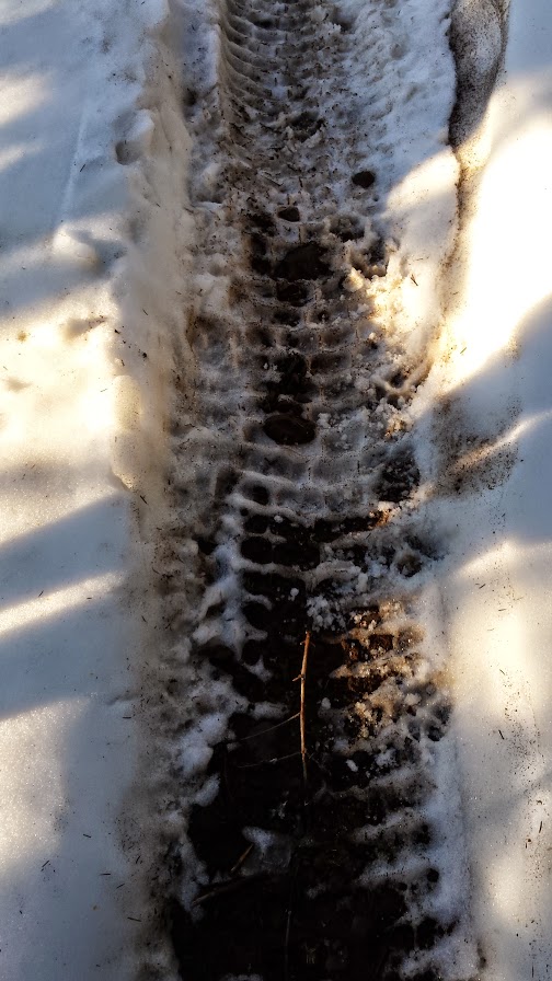
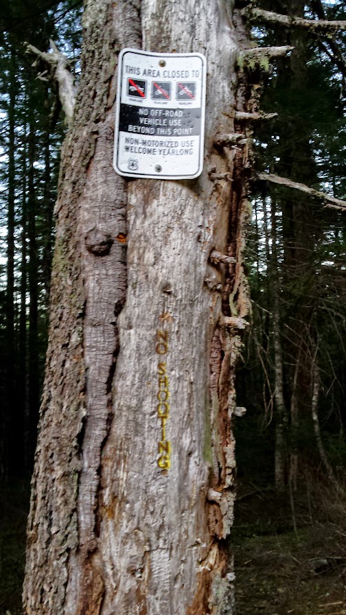
Someone had taken a motorcycle up the Old Baldy Trail. Signs are clearly posted, but they obviously don't think too much of them:
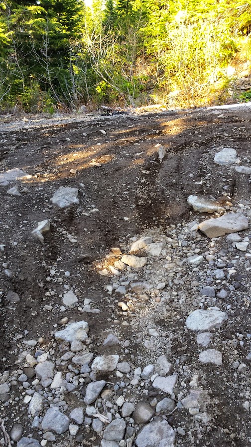
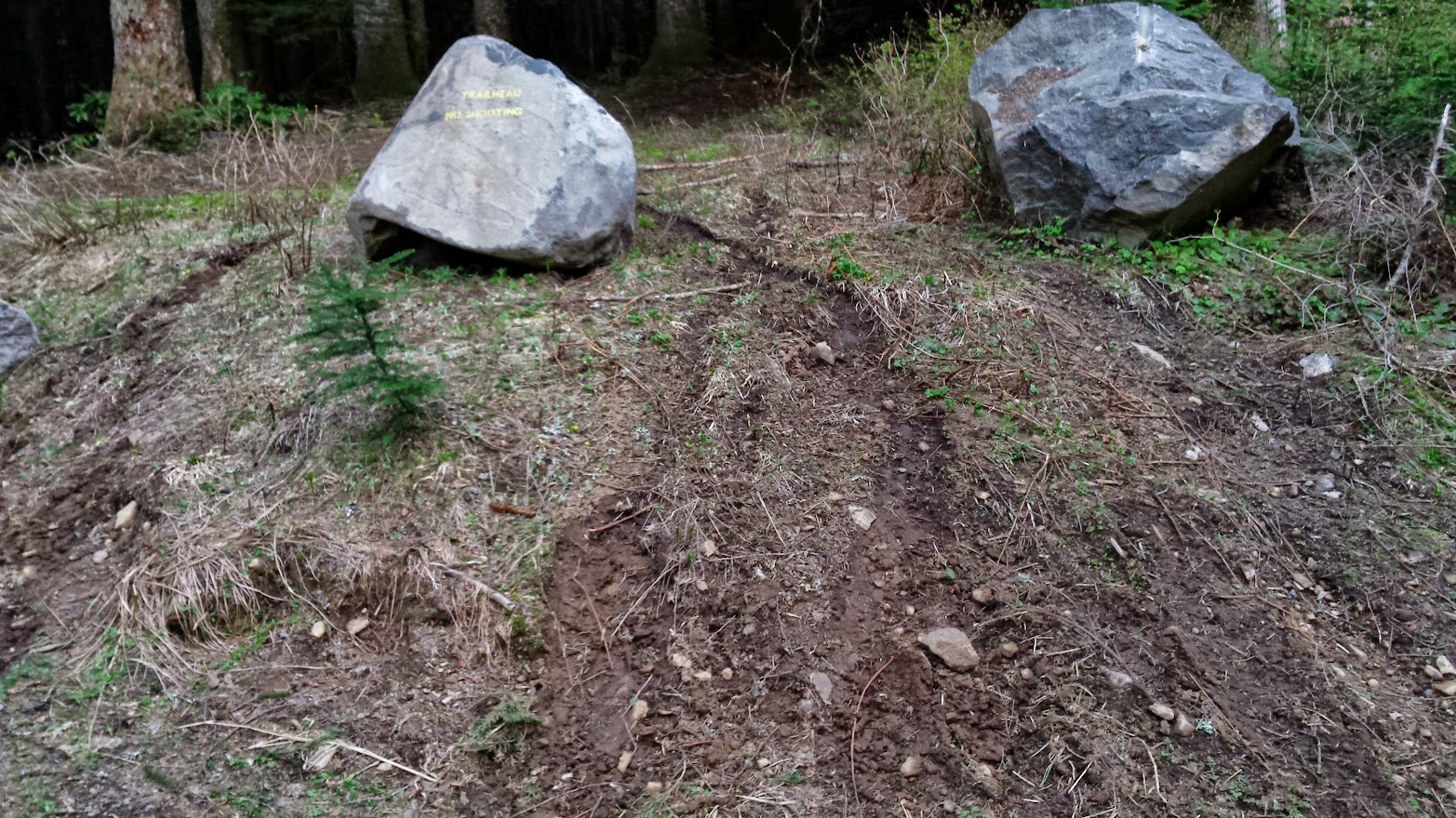
Damage at the TH:
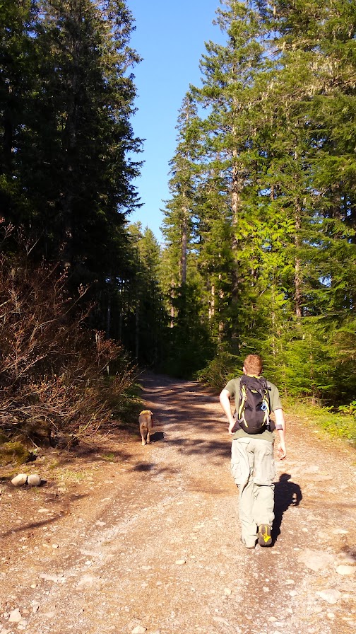
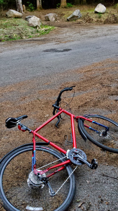
My ride back to the car:
http://gpsfly.org/g/4278
What a blast riding down the long hill as the sun was setting! I can't say enough good things about this hike even w/ the idiot damage. That viewpoint is really spectacular and I highly recommend getting up there to check it out on some nice evening this summer. Rhodies are going to be out soon, and beyond that tons of bear grass along the trail. Enjoy!