Our original plan was to visit Stuart Falls (not unlike Ramona Falls) at the S edge of Crater Lake National Park. But fallen trees had blocked the main access road (FR 6205) about 6 mi from the TH. Our attempt to reach the falls via another trail was foiled when we found that trail had been largely obliterated by the 2008 Lonesome Complex Middle Fork Fire and not rebuilt. Sigh. So we kept Stuart Falls on the to do list and opted instead to visit Mt. Elijah (actually both of them), which is now in the Oregon Caves National Monument and Preserve. In 2014, the Monument was expanded from 488 acres to about 4000 acres (to protect the watershed that feeds the underground river in the caves), which put Mt. Elijah and the Bigelow Lakes within the National Park system (OCNM expansion). You can get to Mt. Elijah and the lakes from either the W (via the Monument headquarters) or from the E (as we did) via the Sturgis Fork TH and trail 903 (Hike #70 in Sullivan's 100 Hikes in Southern Oregon, 3rd edition).
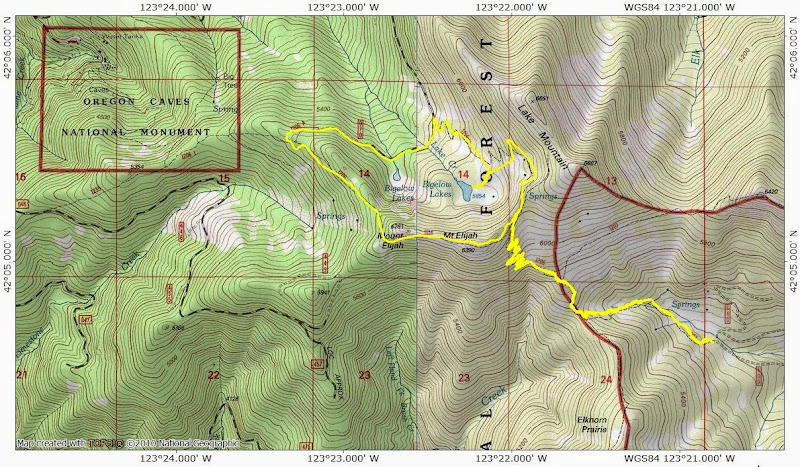
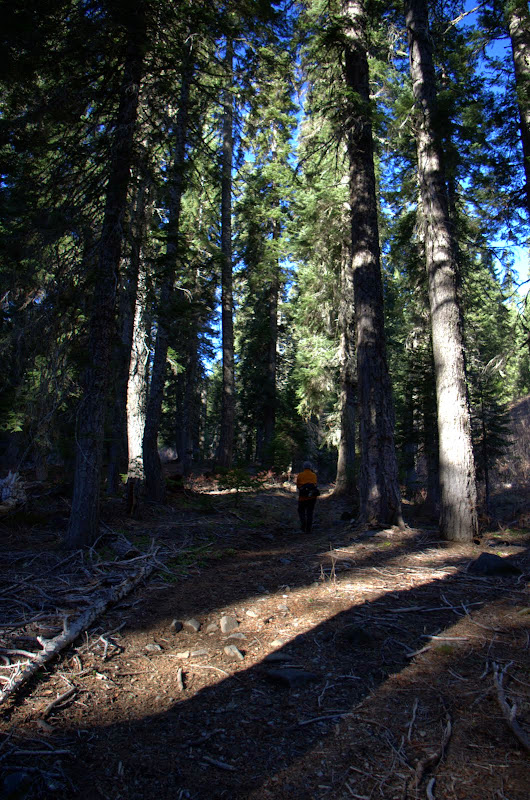
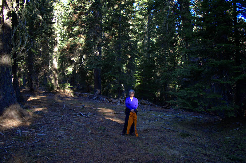
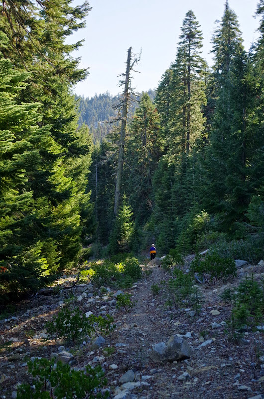
A short hike up the 903 through towering forests (which were pumping out pine scent as though it was June rather than February!),
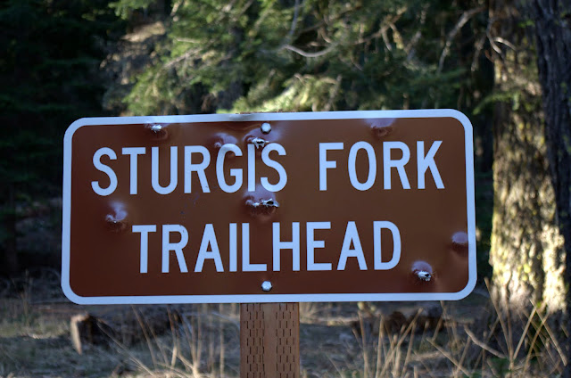
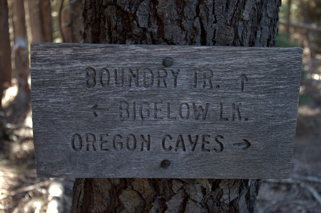
brought us to an unassuming junction with the Boundary National Recreation Trail, which runs roughly 35 miles from the PCT to Grayback Mountain along the spine of the Siskiyous (and is yet another hike on the to do list).
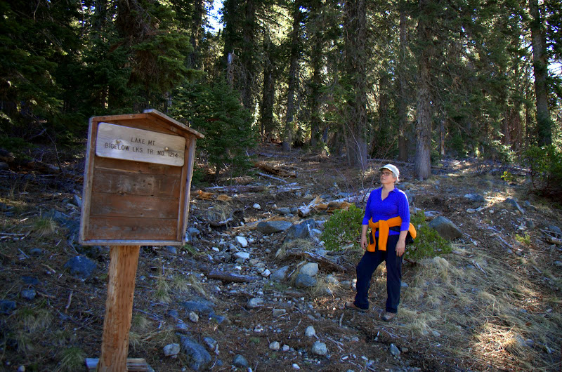
From there it was a short hike up the Boundary Trail and Trail 1206,
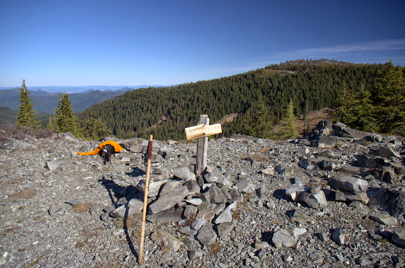
to the summit of the higher of the two Mt. Elijahs.
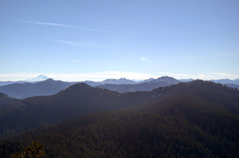
Up where we were, it was the requisite bluebird day but still foggy in the Illinois River valley to the W.
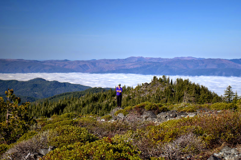
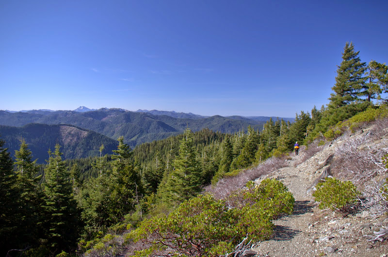
Preston Peak in the Siskiyou Wilderness was visible to the SW,
Shasta and the Red Buttes could be seen to the SE,
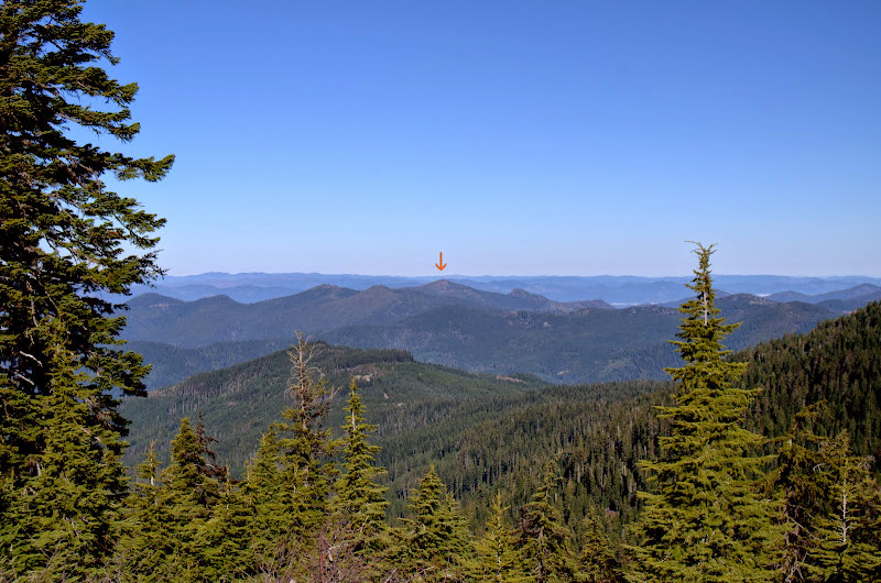
and Kerby Peak stood out to the NW (Kerby hike).
We left the summit of Mt. Elijah (6,390') and headed down past the summit of Mount Elijah (6,281') - yes, both are on the USGS map,
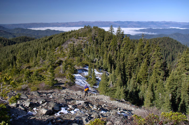
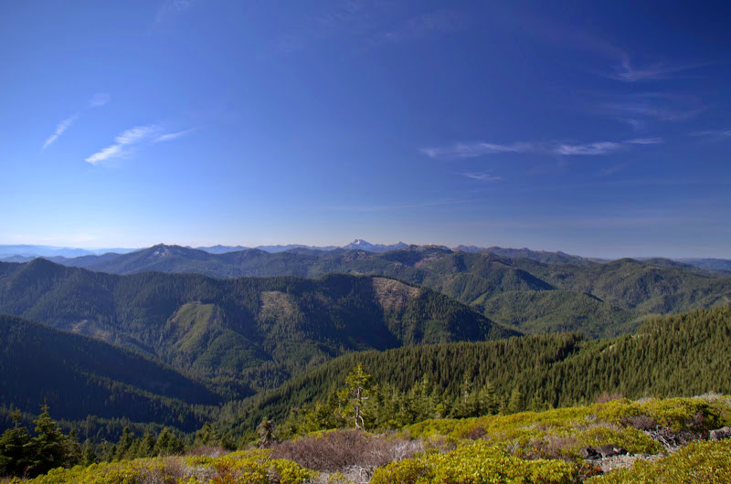
traversed in view of Preston,
then swung back E on a well-abandoned old road,
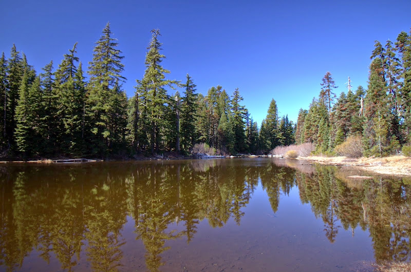
to the junction with the trail that would take us back up past the lakes.
Although it doesn't look like it, it's still February, so the lakes were bug-free and thus a great place for our lunch break.
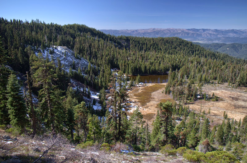
After lunch, it was up the big meadows on the NE side of the lake basin,
to Trail 1214, which gave us a good view of the lakes as it took us up to the pass to reconnect with Trail 1206 for the journey back to the TH.
A short (9 mi RT, 1800' EG) but sunny hike in a beautiful area that's now part of the National Monument. Since Elijah and the lakes can be reached via a short hike from the monument side, that's something to consider adding to a visit to see the caves.
Sturgis Fork / Mt. Elijah (S Oregon) 16-Feb-2015
Last edited by VanMarmot on November 23rd, 2015, 7:17 am, edited 1 time in total.
- woodswalker
- Posts: 835
- Joined: November 25th, 2012, 4:51 pm
Re: Sturgis Fork / Mt. Elijah (S Oregon) 16-Feb-2015
Looks like a great hike. Thanks for posting all the S. Oregon hikes. Beautiful country.
Woodswalker
Woodswalker
Re: Sturgis Fork / Mt. Elijah (S Oregon) 16-Feb-2015
Great hike. I was planning to do this from the Caves side when we were last there, but my fair companion wanted to go back and have coffee instead.
Do you know if being incorporated into the national monument changes anything about access to these trails?
- Splintercat
- Posts: 8333
- Joined: May 28th, 2008, 10:03 pm
- Location: Portland
- Contact:
Re: Sturgis Fork / Mt. Elijah (S Oregon) 16-Feb-2015
I love the two Mt. Elijah's, Van! In their defense, sometimes important features fall at TOPO boundaries -- which is how we ended up with two Mount Hoods, of course!
I'm really enjoying your reports from S. Oregon! Very fun to read about places unknown (to me)!
Tom
I'm really enjoying your reports from S. Oregon! Very fun to read about places unknown (to me)!
Tom
Re: Sturgis Fork / Mt. Elijah (S Oregon) 16-Feb-2015
Thanks! I don't believe incorporation will change access in any meaningful way - maybe better signage?bobcat wrote:Great hike. I was planning to do this from the Caves side when we were last there, but my fair companion wanted to go back and have coffee instead.
Do you know if being incorporated into the national monument changes anything about access to these trails?