Didn't see another human being, either free-ranging or vehicularly-encased, anywhere east of Toutle! We arrived at the Hummocks Trailhead shortly after 8am. There wasn't a single (fresh) human footprint on either the trailhead or beyond the gate on SR-504. That was still the case, when we returned to the trailhead 10 hours later. Complete isolation in one of the most desolate environments around.
Our plan was to walk a mile past the gate on SR-504, to the South Coldwater Ridge Trailhead, head generally eastward and upward along that ridge to the intersection with the Boundary Trail in a beautiful little saddle overlooking Saint Helens Lake. We had tried this four weeks ago, and were rebuffed by a whiteout. This day, we were in a different world altogether...
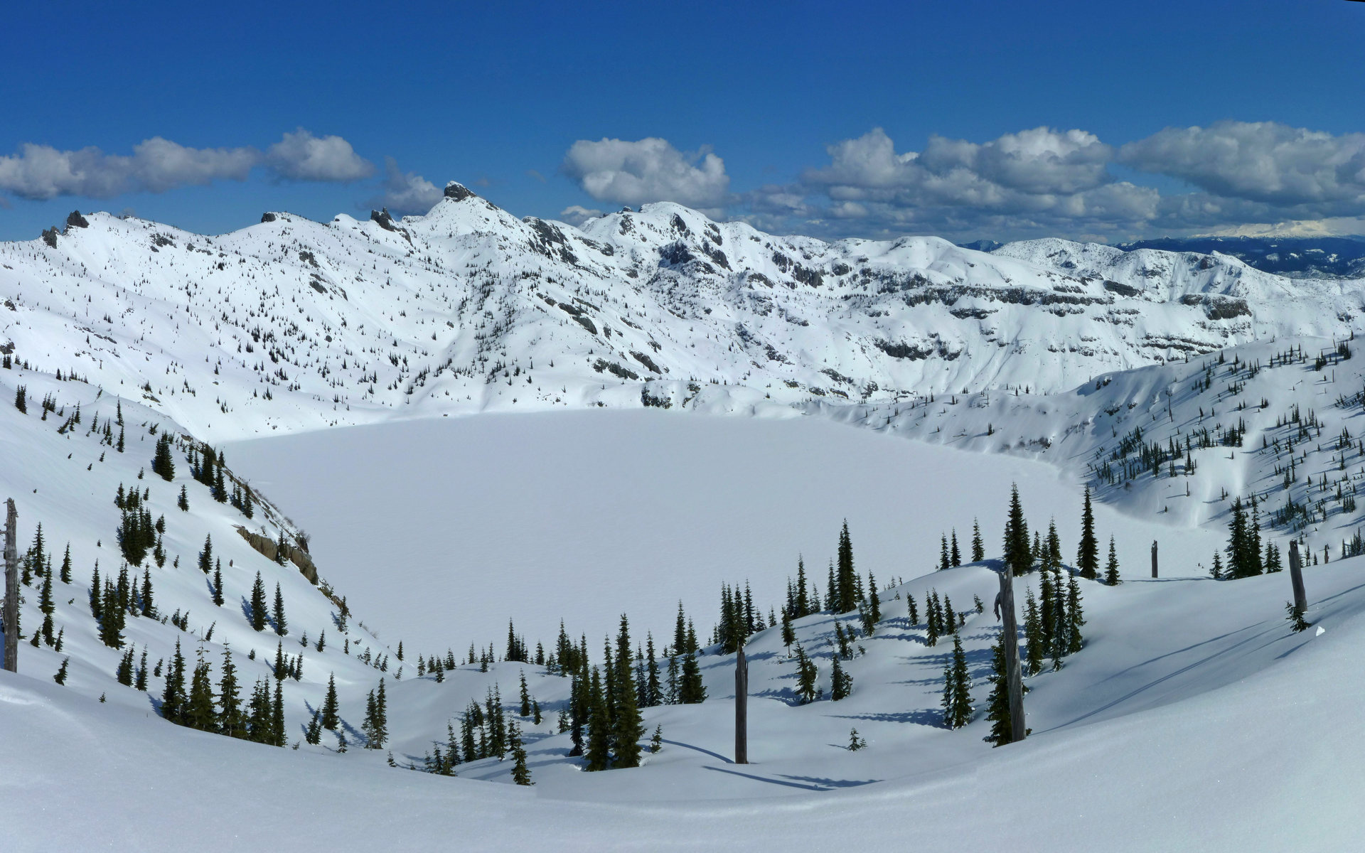
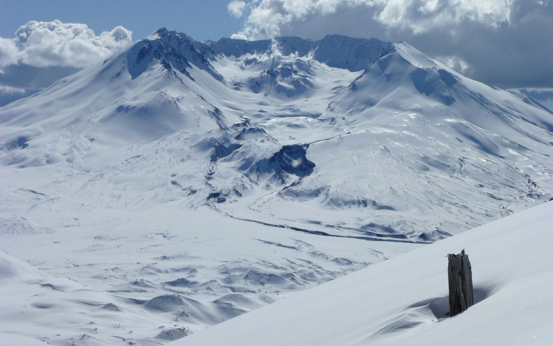
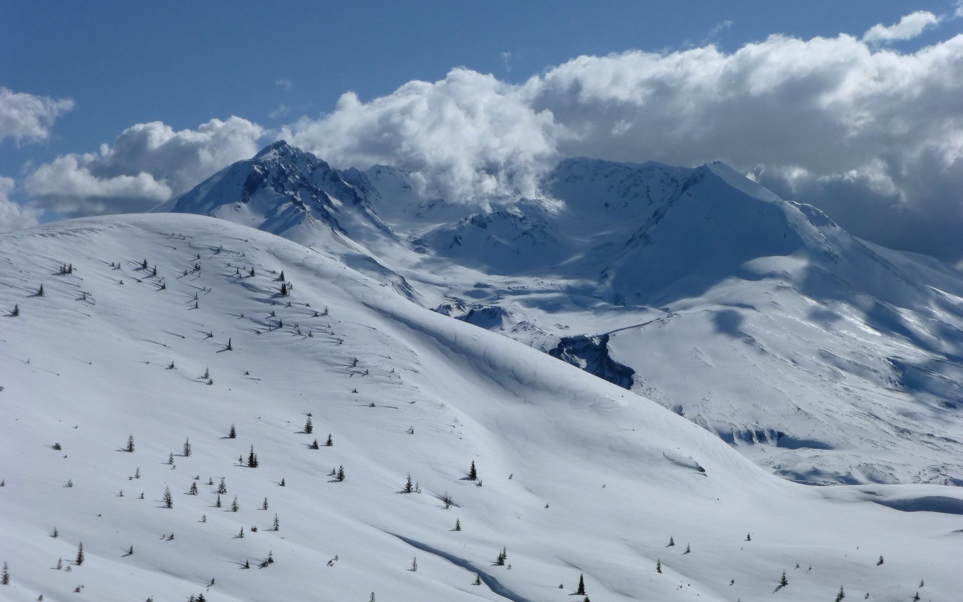
Our primary destination for the day, Saint Helens Lake from the Boundary Trail.
Click for interactive Photosynth. 18-images, stitched into a 99.7 megapixel panorama, from which the image above was clipped.
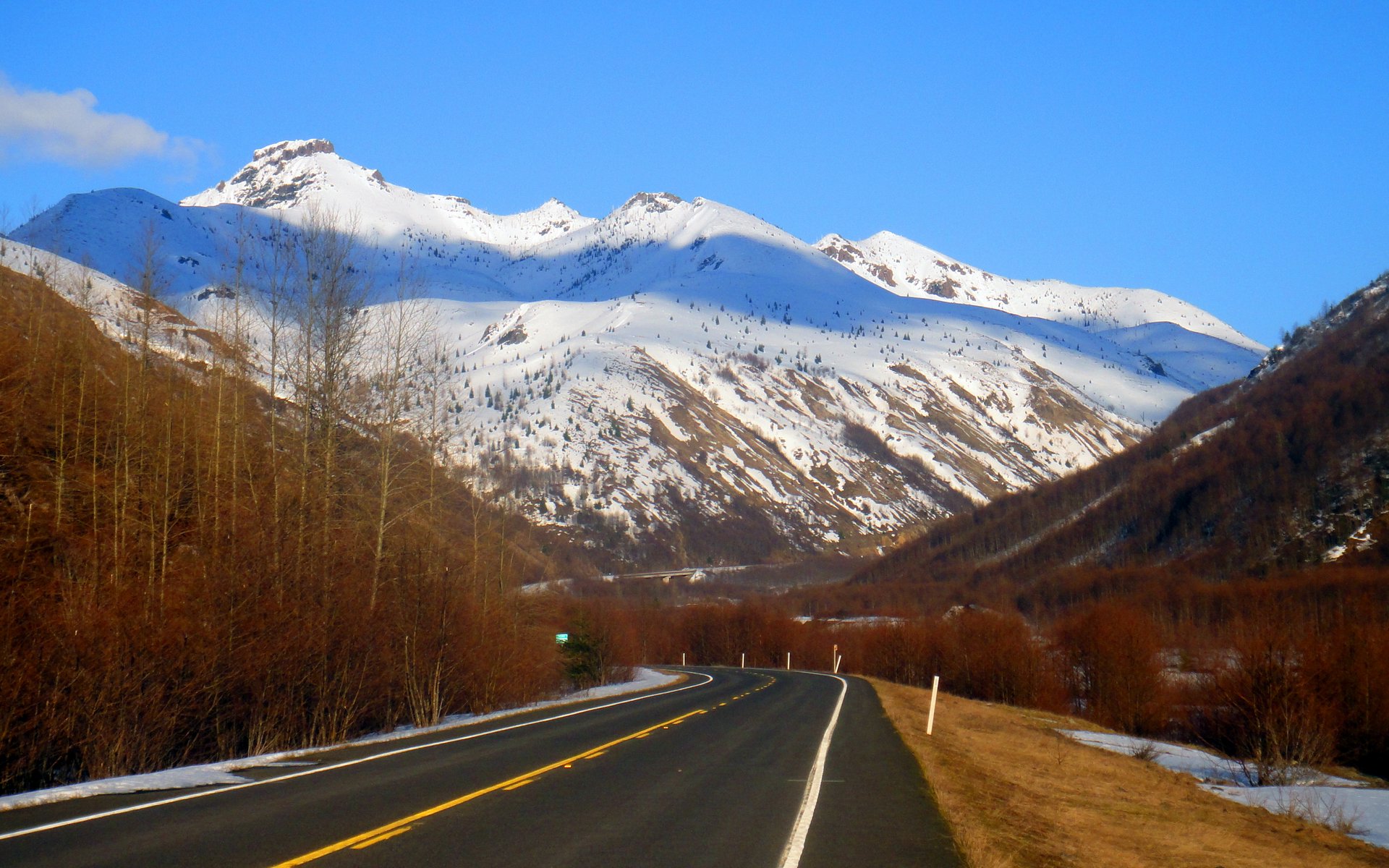
Even the drive up was better than average.
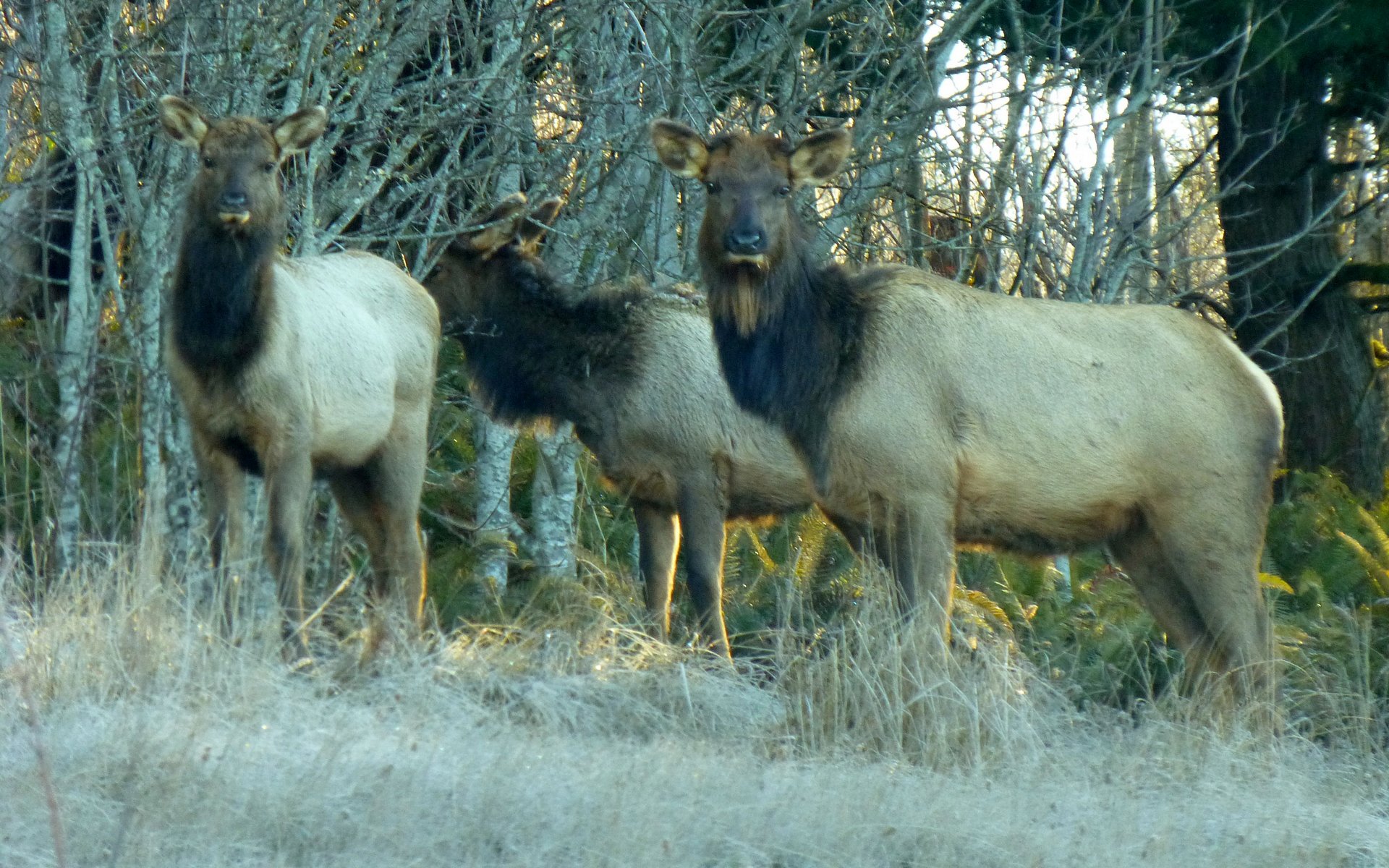
Ran into several gangs of elk along SR-504.
Elk Rock Viewpoint provided a magnificent glimpse of nearly our entire route!
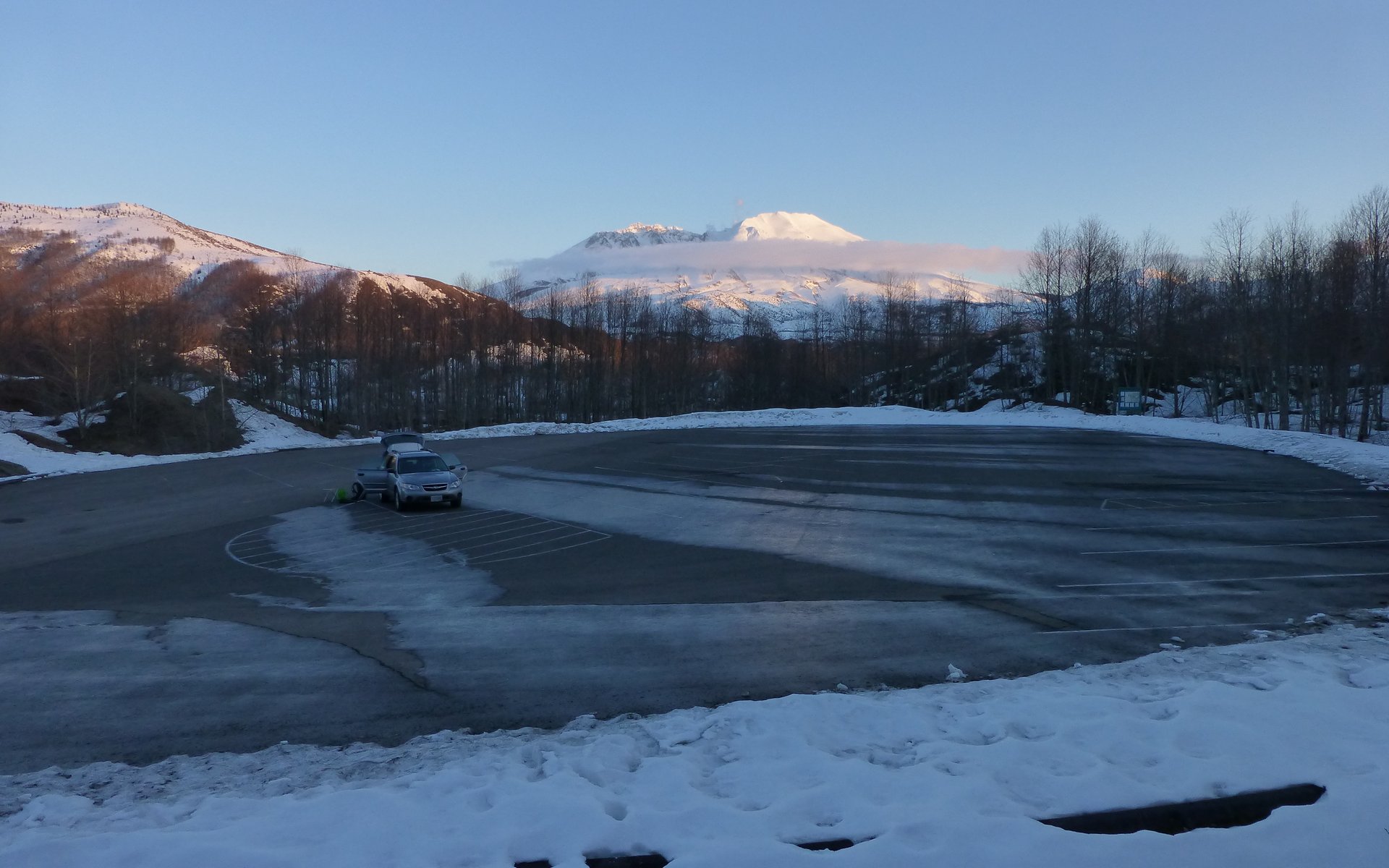
The parking area is at about 2550' elevation, and is as far as the road gets plowed in winter. SR-504 is gated just beyond.
Peder taunting the Elk Cam Patrol, as he blithely ignores the their warnings.
Just before the South Coldwater Trailhead, this little pond now hosts numerous ducks and geese. It was frozen over a month ago.
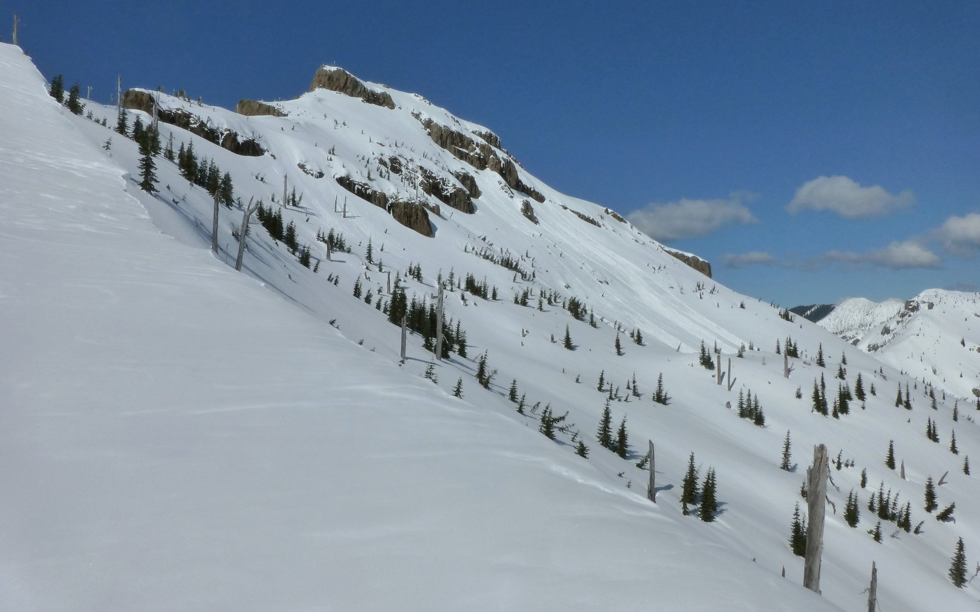
We can see nearly our entire ascent route from here, following the ridge on left up nearly to Coldwater Peak, crossing over behind
that most pointy peak to the right of Coldwater.
The trail up South Coldwater Ridge was mostly hard-packed snow. There was evidence that someone had ventured up this way the day before. They apparently went the first 2.5 miles to the destroyed logging equipment, and turned around there. We decided that was a good point to put our snowshoes on, having not needed them at all so far.
Artifact of 1980 logging operation. Some sort of "pulley" type carving in this stump?
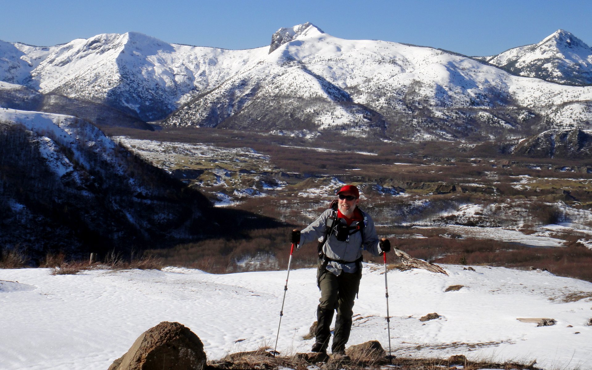
It quickly became apparent that gloves and a baselayer were totally unnecessary!
Catching our first glimpses of Minnie Peak over Coldwater Lake (below to left). Logging equipment atop ridge on right.
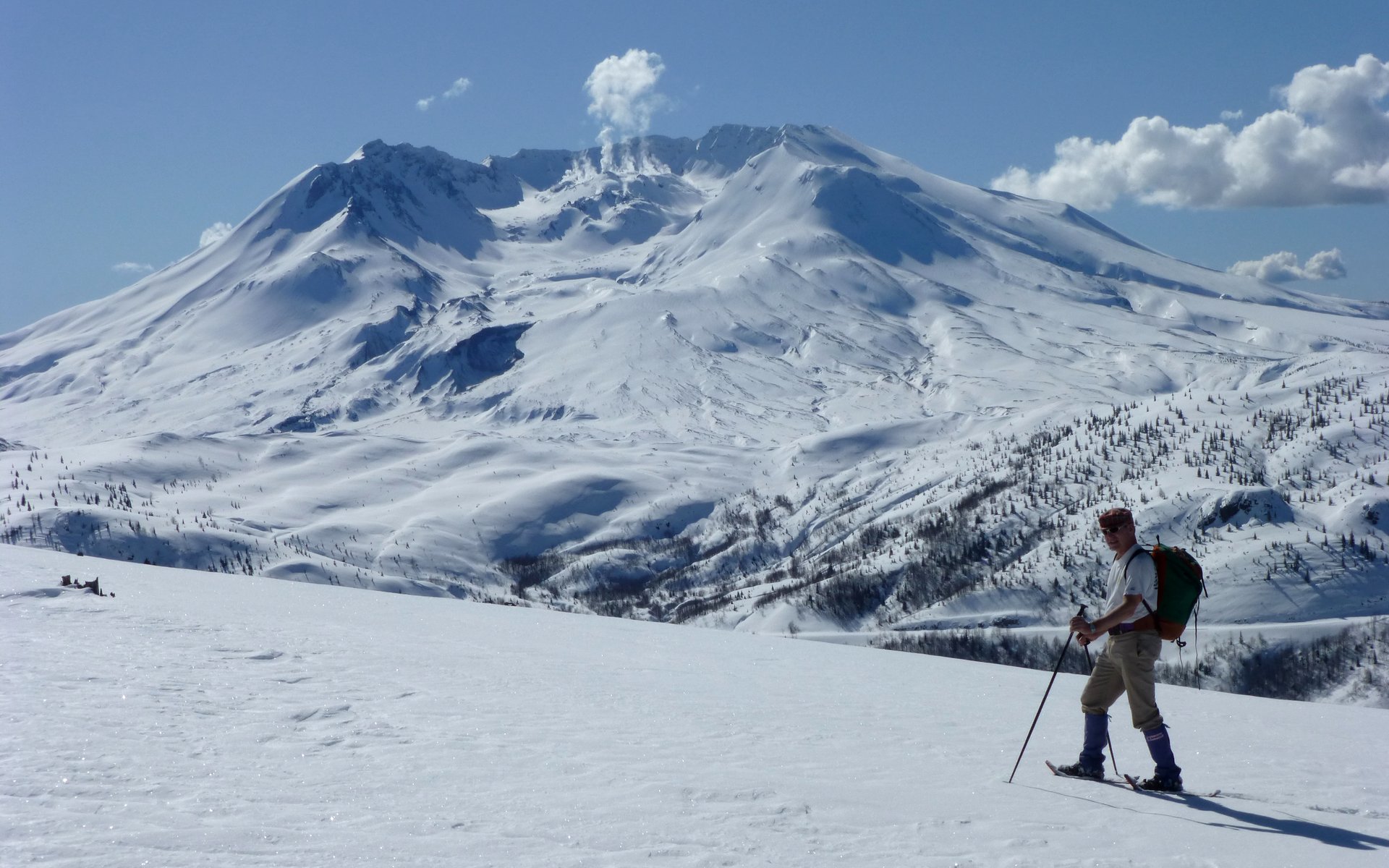
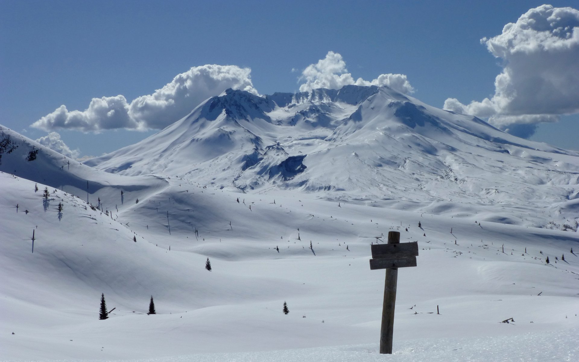
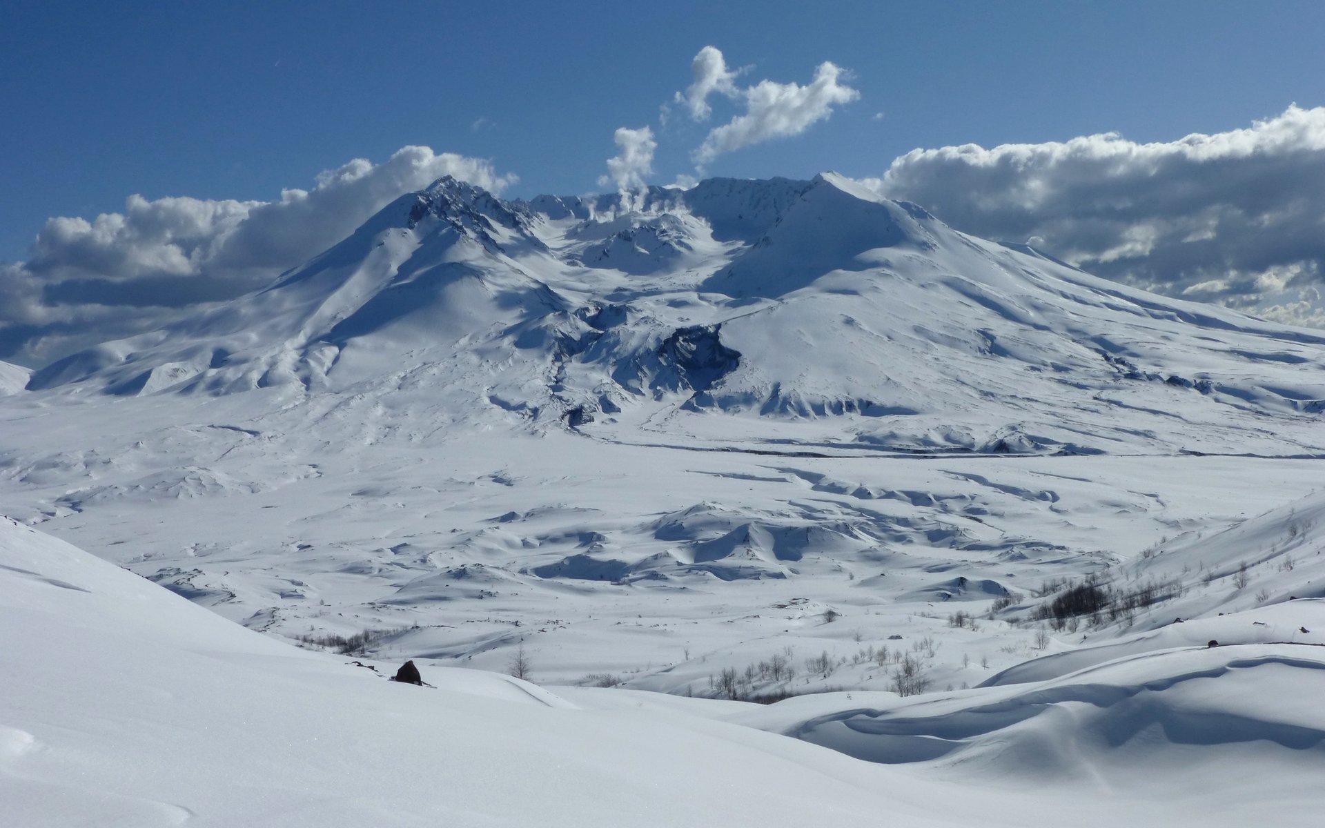
The steaming lava dome was peeking out over Johnston Ridge as we climbed.
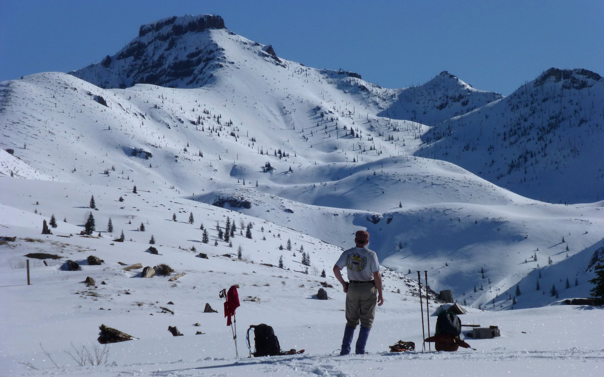
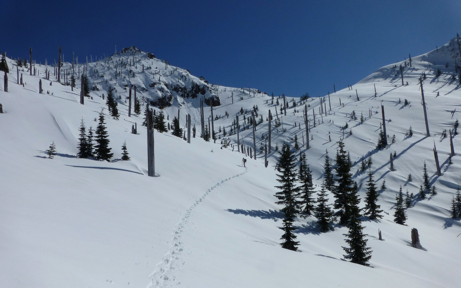
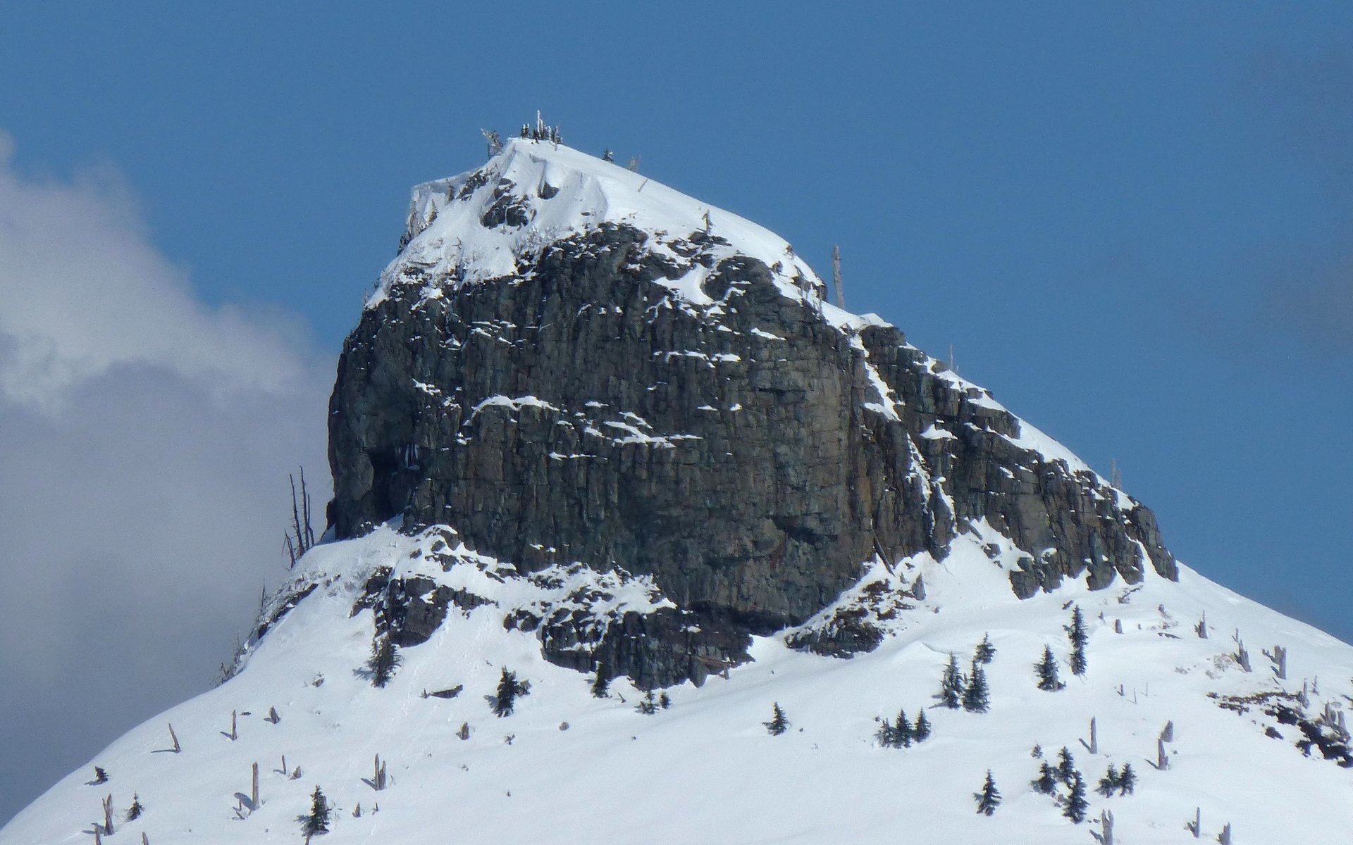
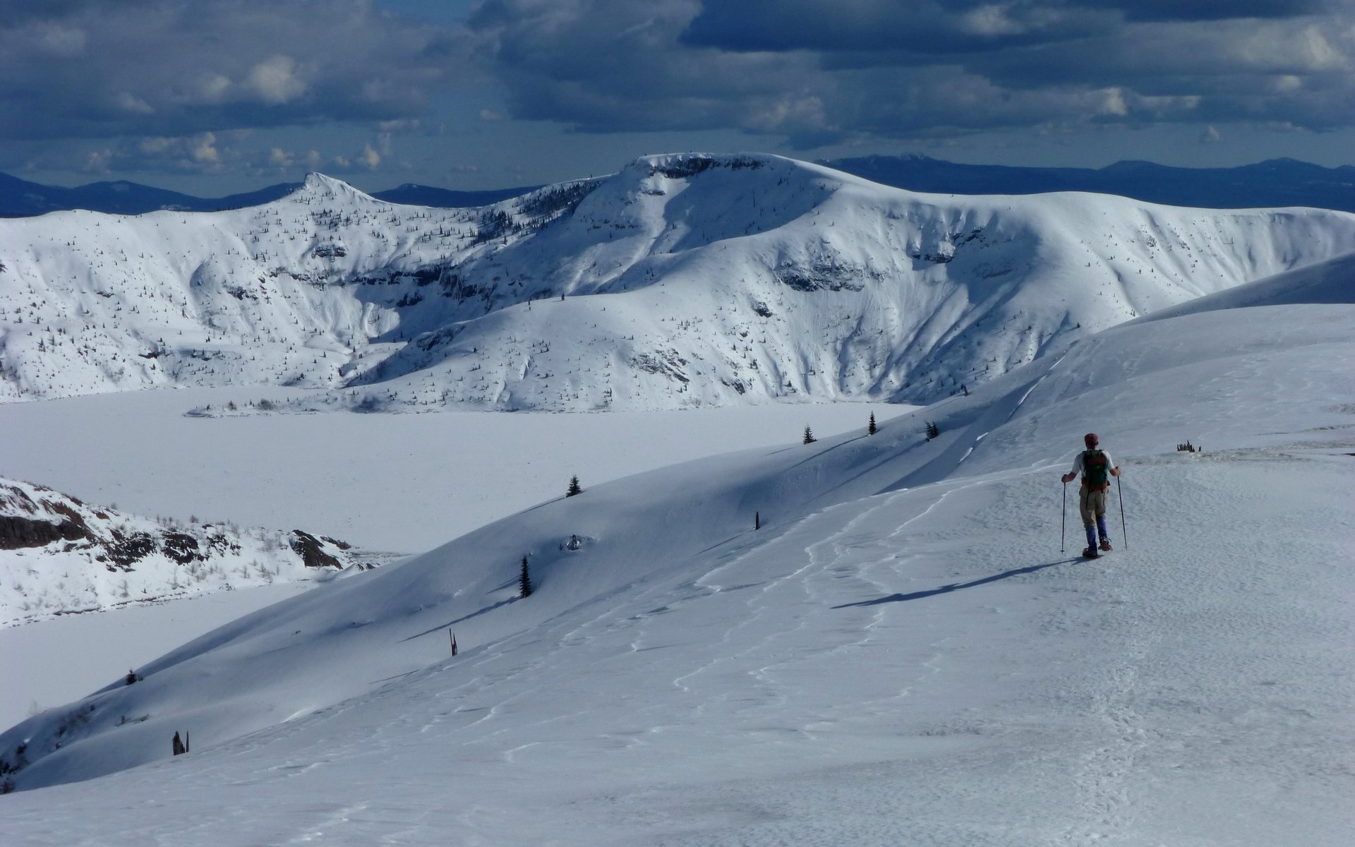
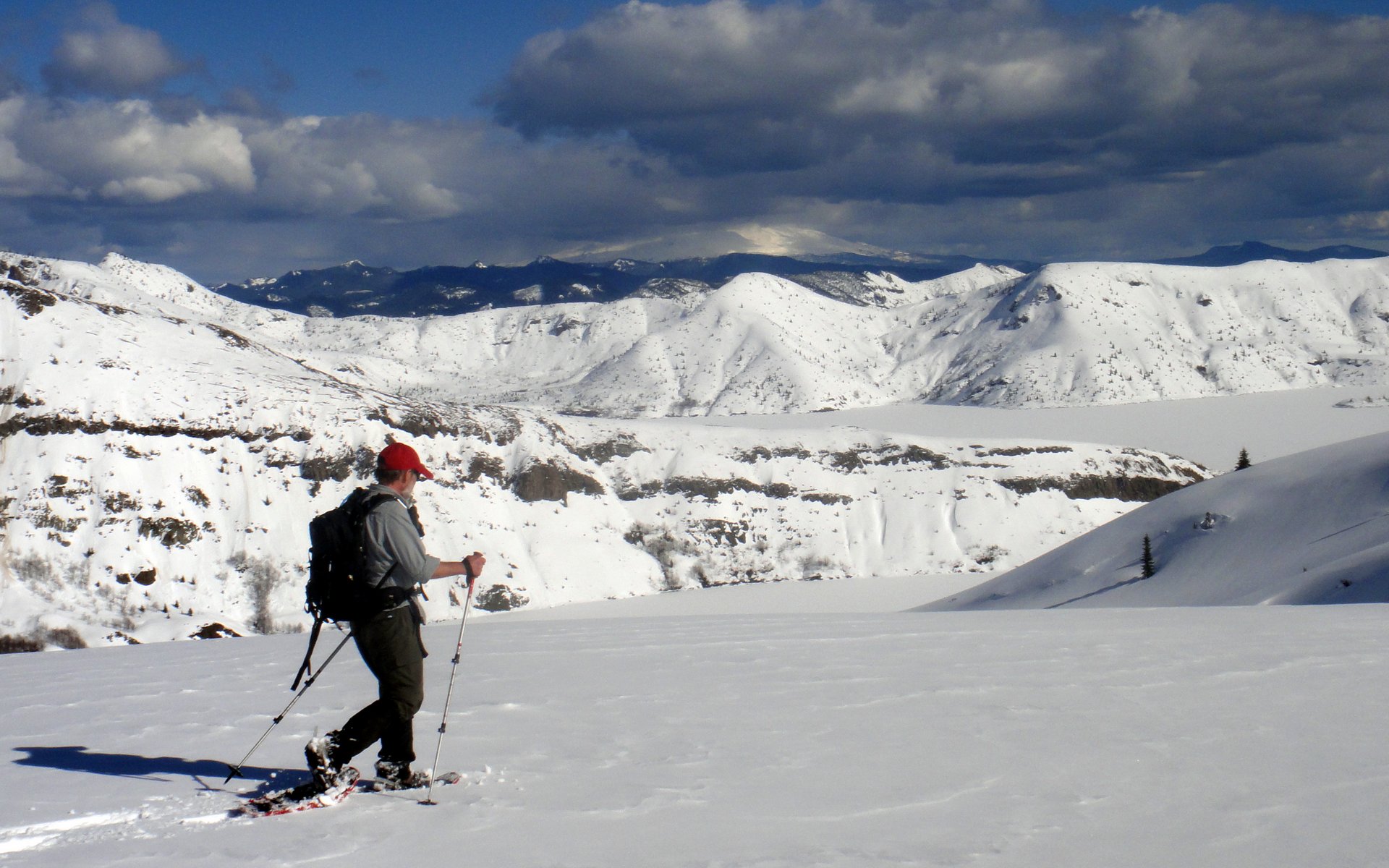
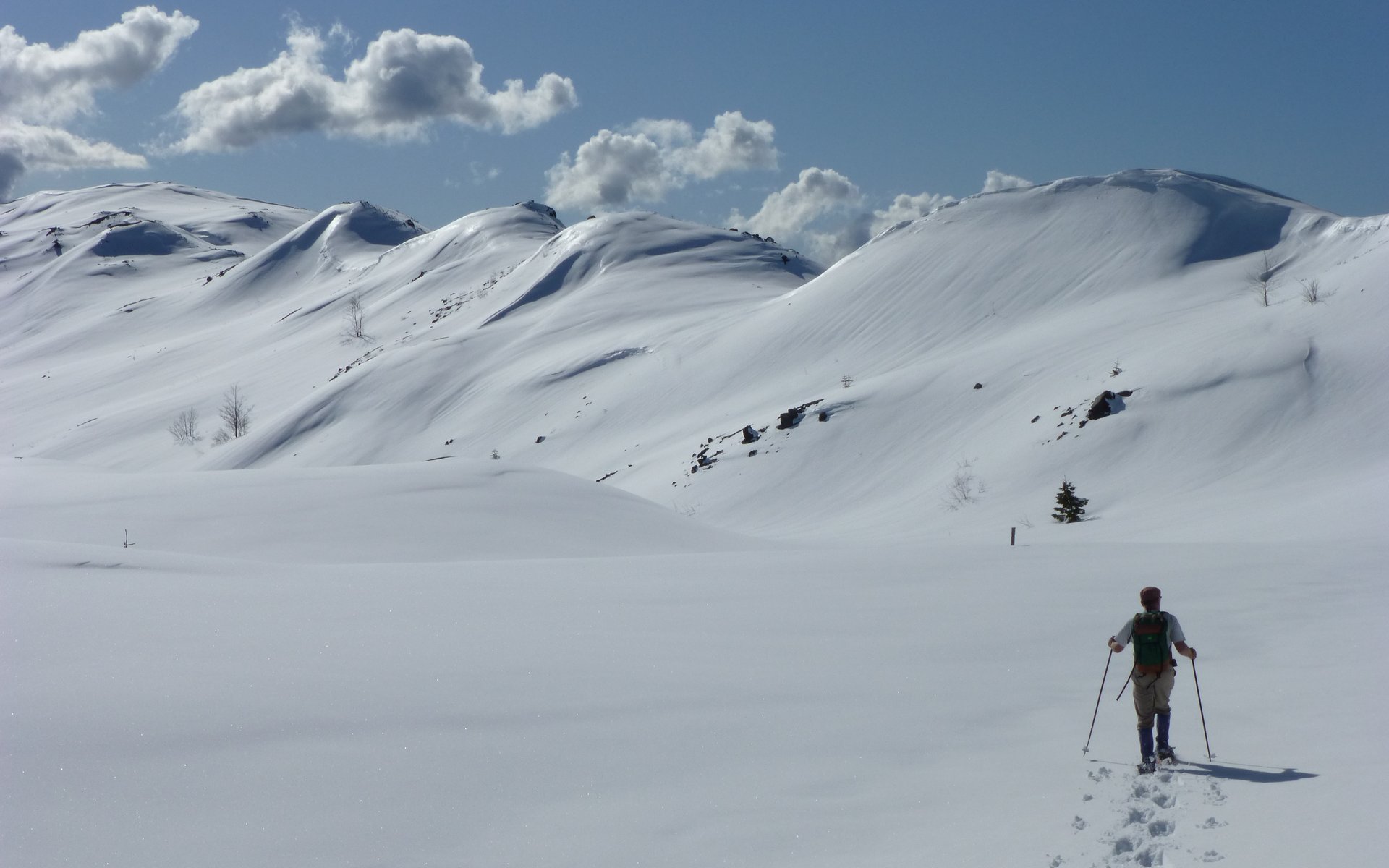
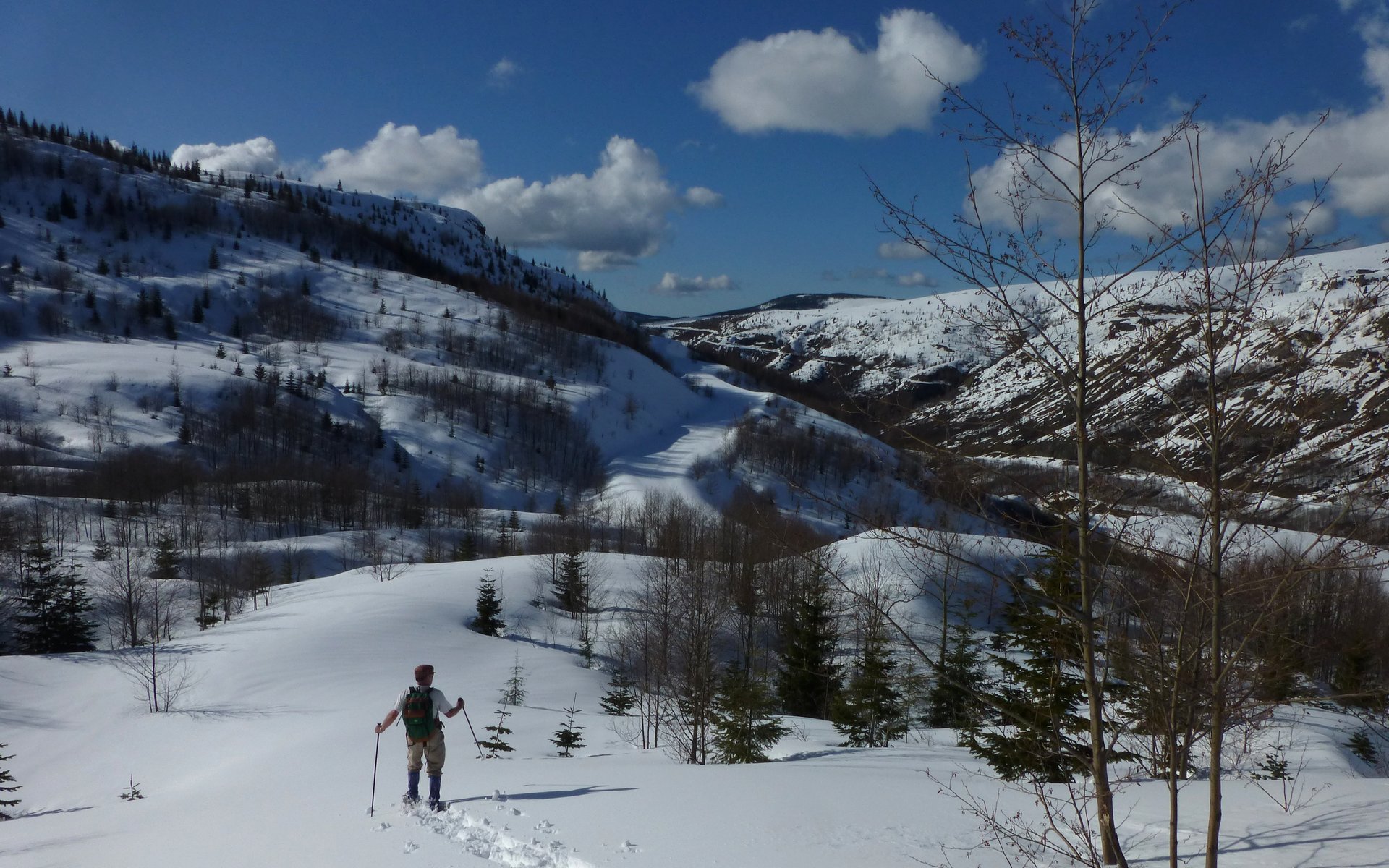
Peder surveys the route ahead, while I scurry around taking photos. We feel that pointy peak is our path to the saddle.
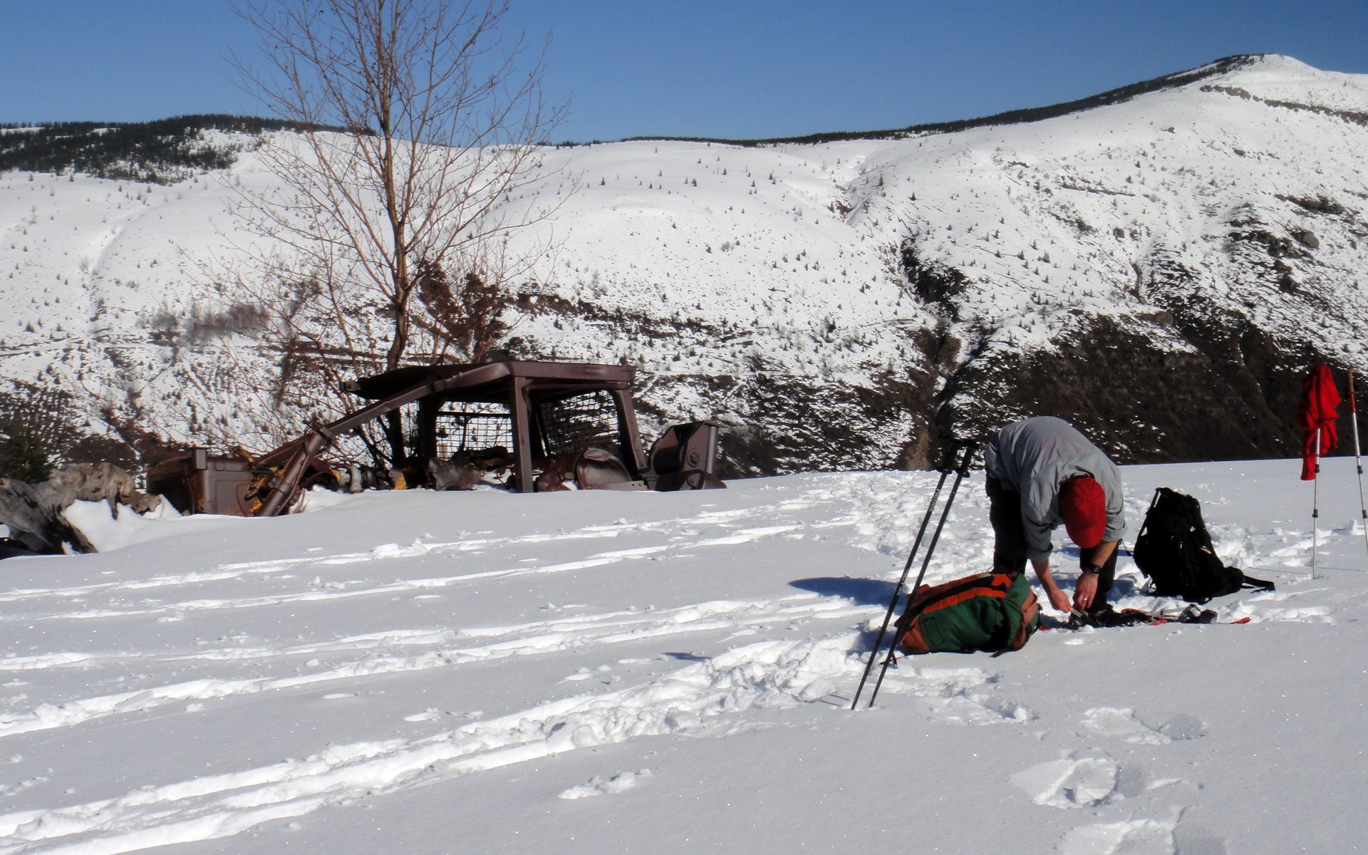
I, ever so gracefully, start strapping on the snowshoes near the destroyed bulldozer.
From here, it was strangely familiar territory, having just followed this route only a month ago. But quite different, in that we could actually see where we were going this time.
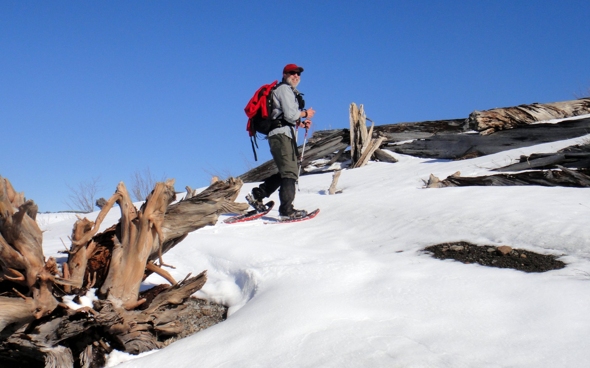
That guy's clearly having too much fun. (Baselayer now tied to outside of pack, to dry off!)
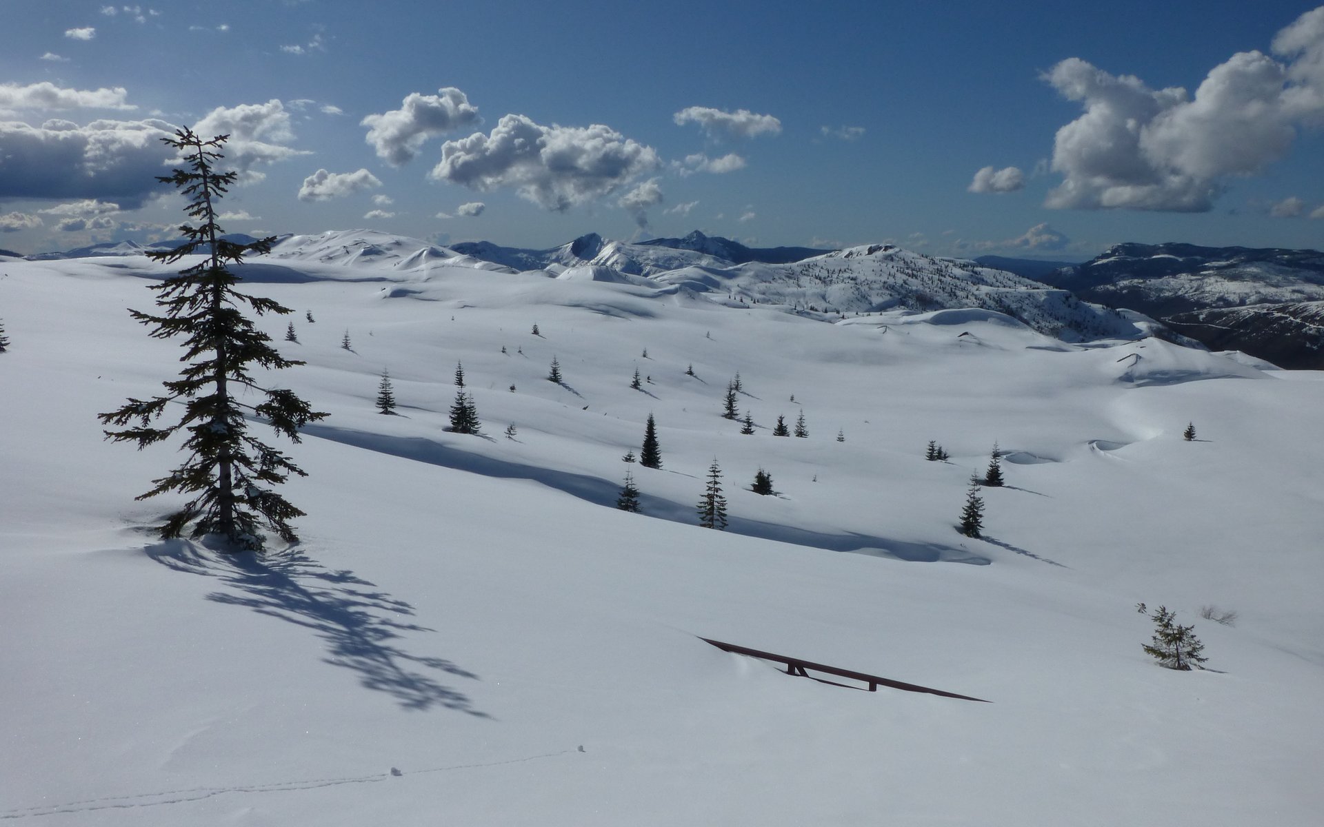
None of those pesky trees to block the glorious views!
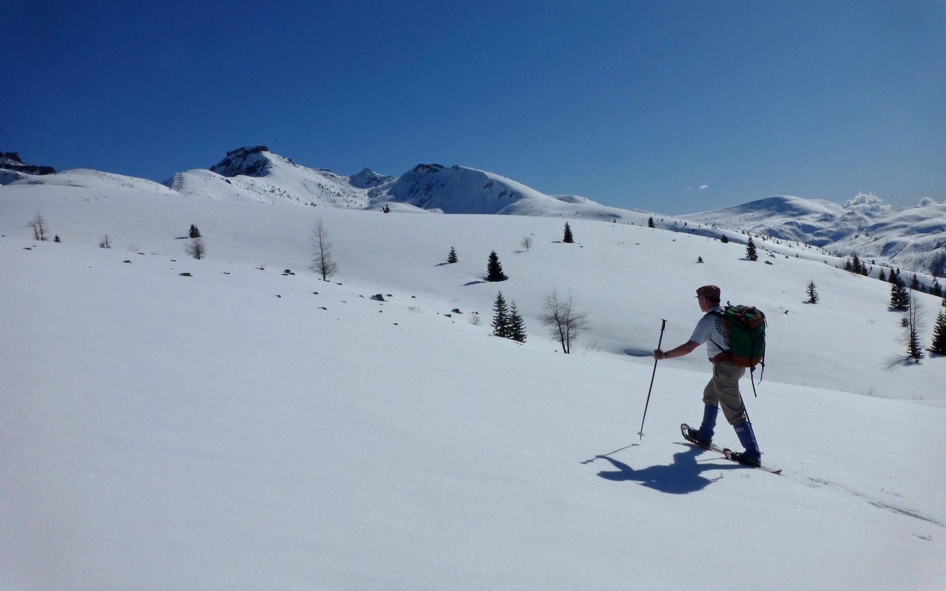
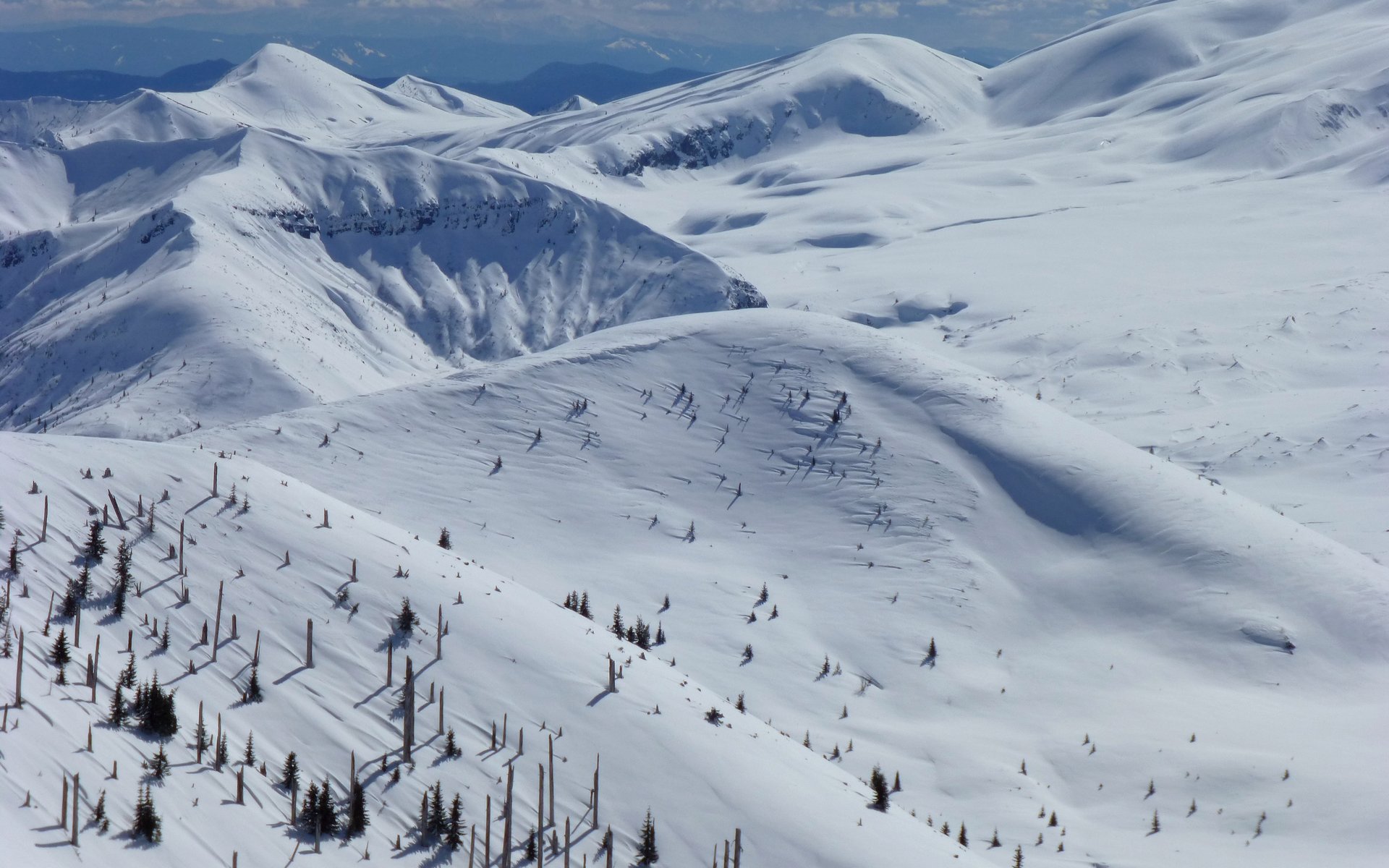
It was a trackless wilderness, devoid of any evidence of humans at this point.
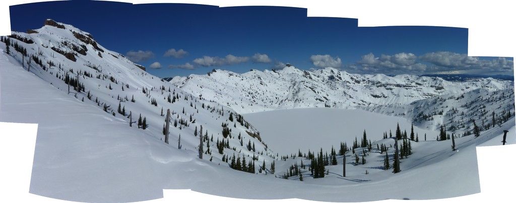
Sweeping untracked panorama.
The ridge views were ________________ (choose your own superlative!).
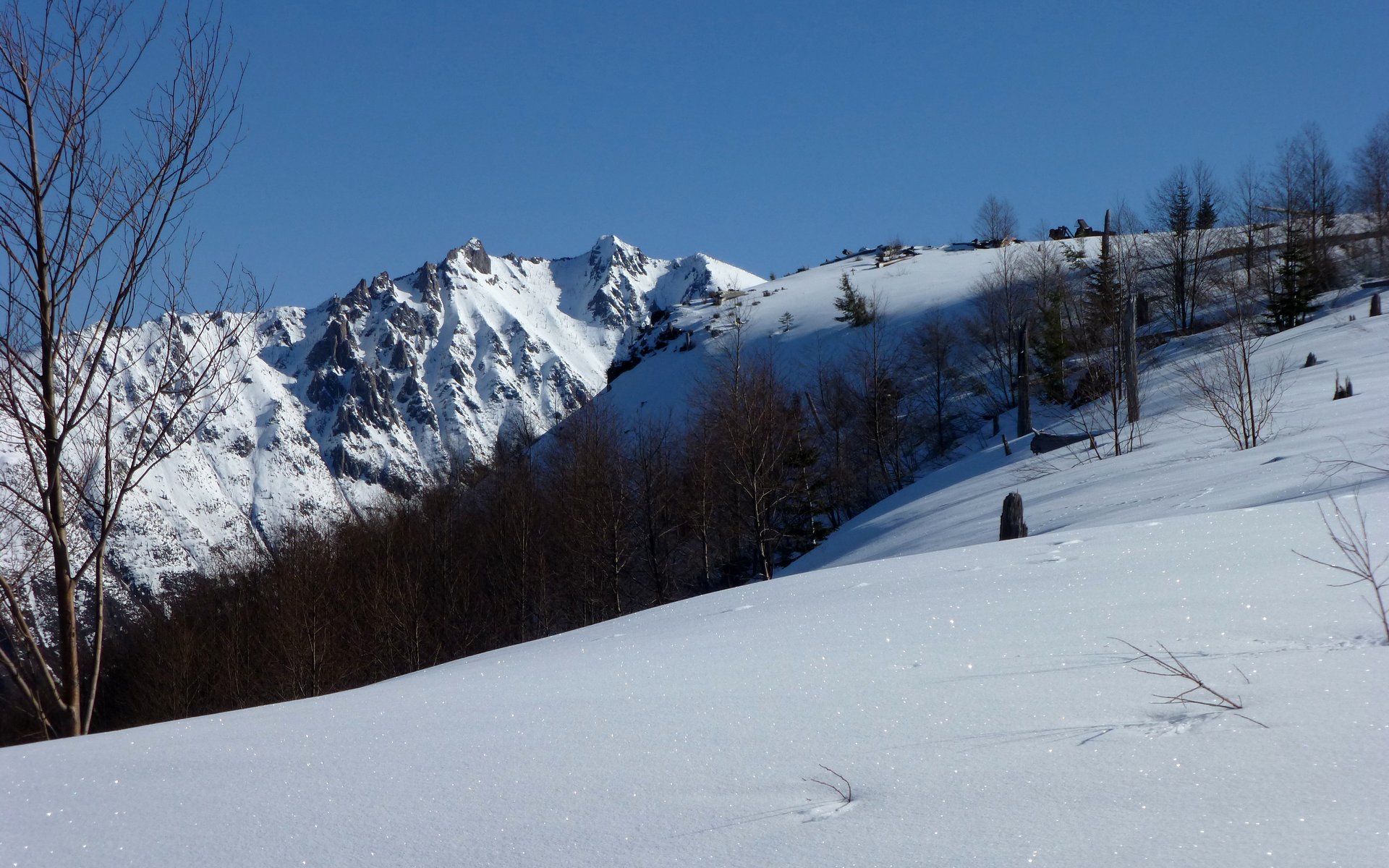
Off to our left...
Looking ahead...
In the whiteout a month ago, we had but a sense of these features.
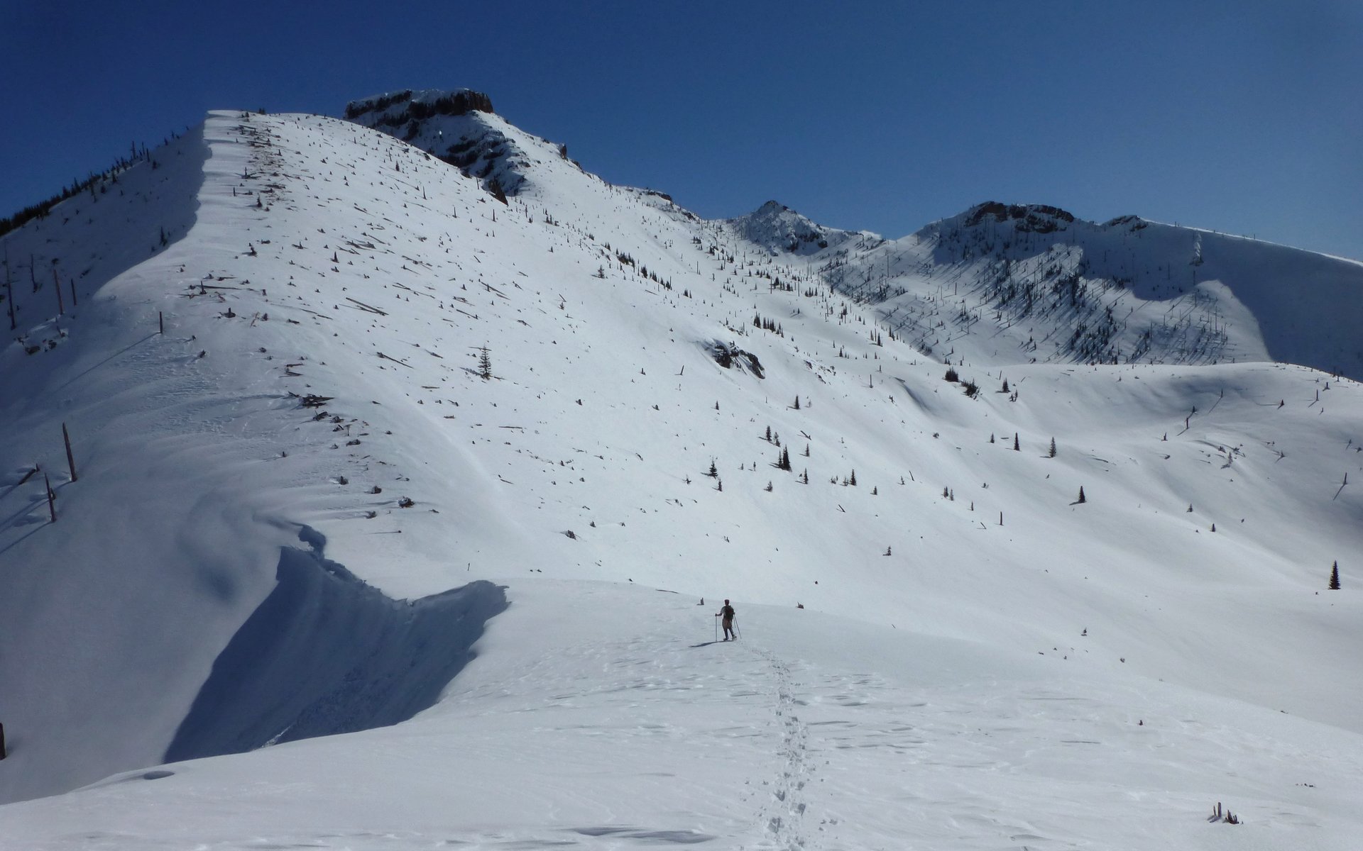
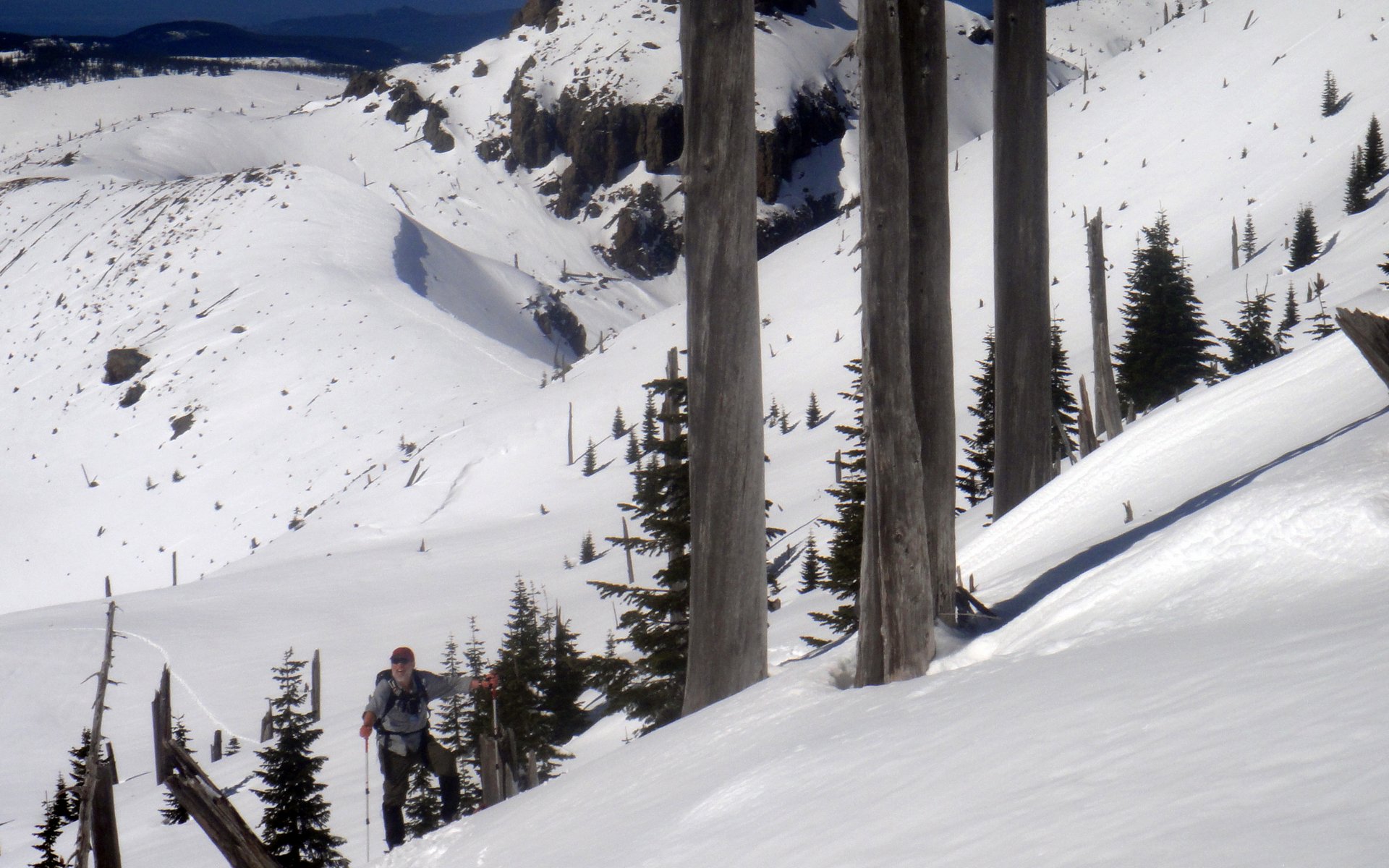
I begin lagging behind, because I can't stop taking photos. Peder descends to the saddle where Coldwater Peak Trail 230 crosses
over. This is as far as we got last time. See that pointy peak above? That's still the target.
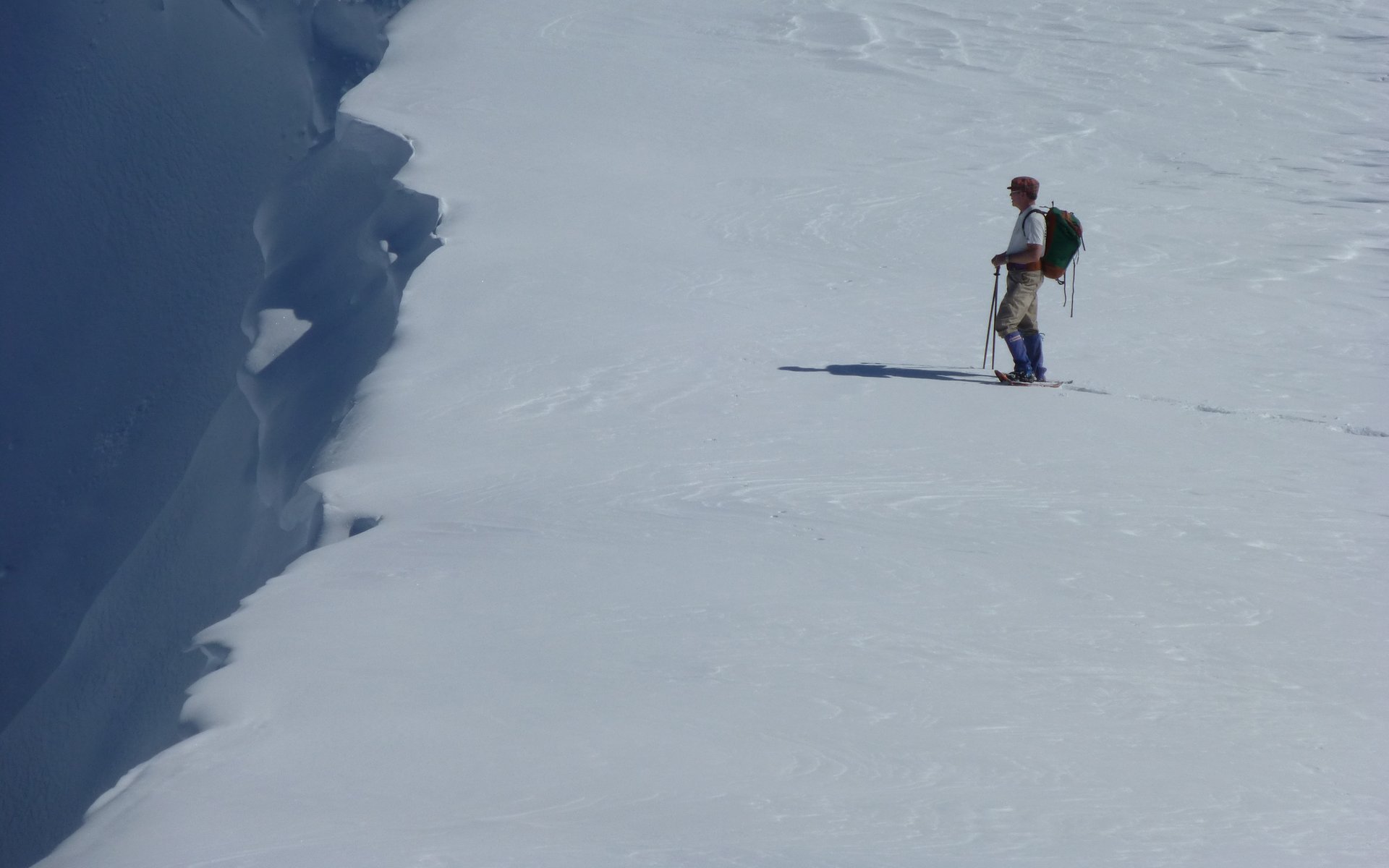
Peering (safely, from a distance) over the abyss.
Sign warning all ramblers to stay on the trail! Well, we certainly would if we knew where it was!
Looking back at our tracks down into the saddle.
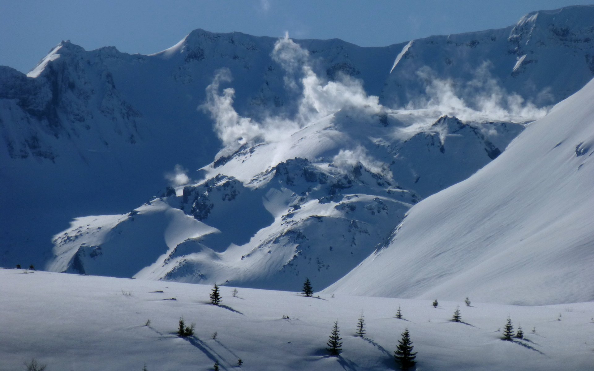
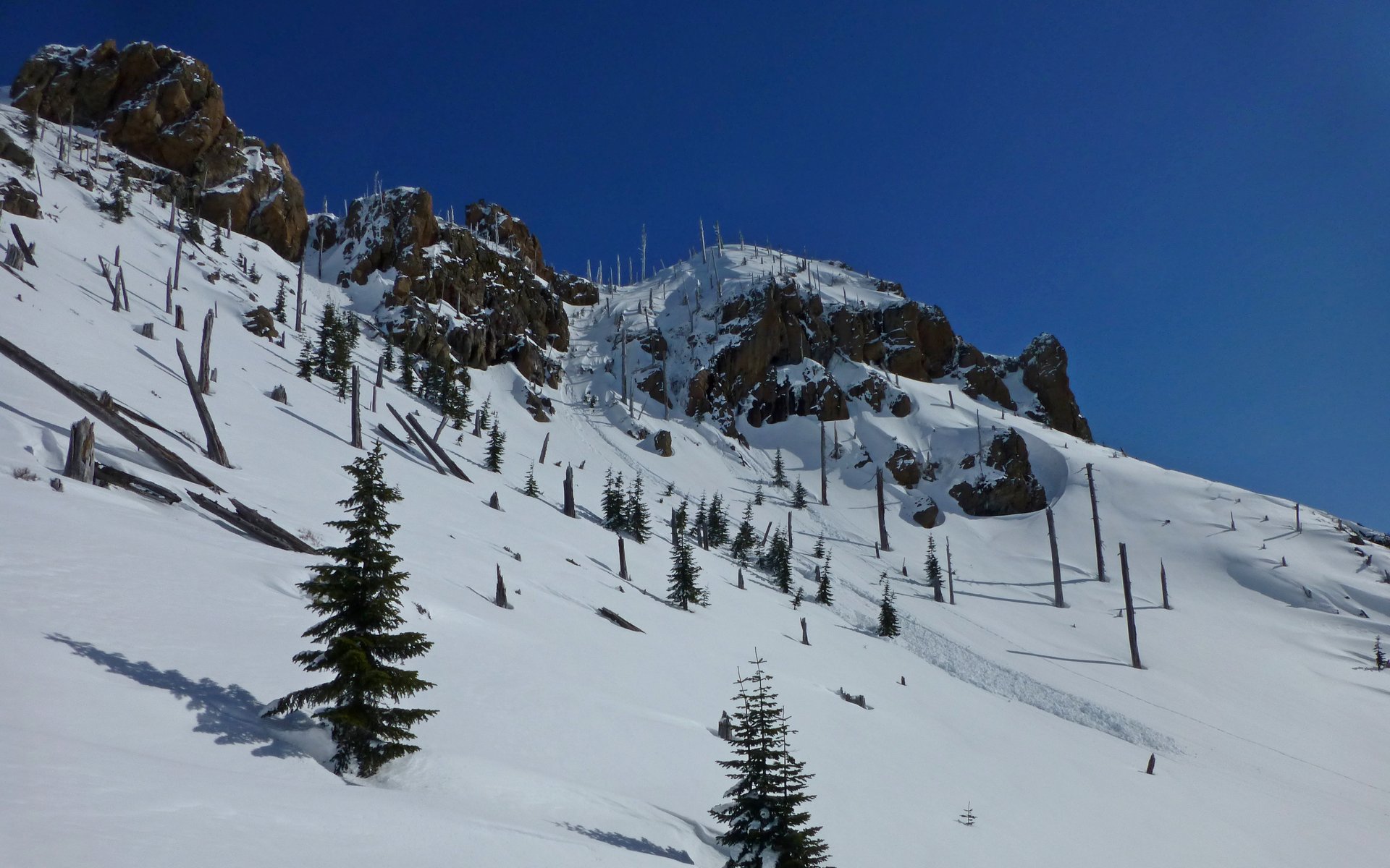
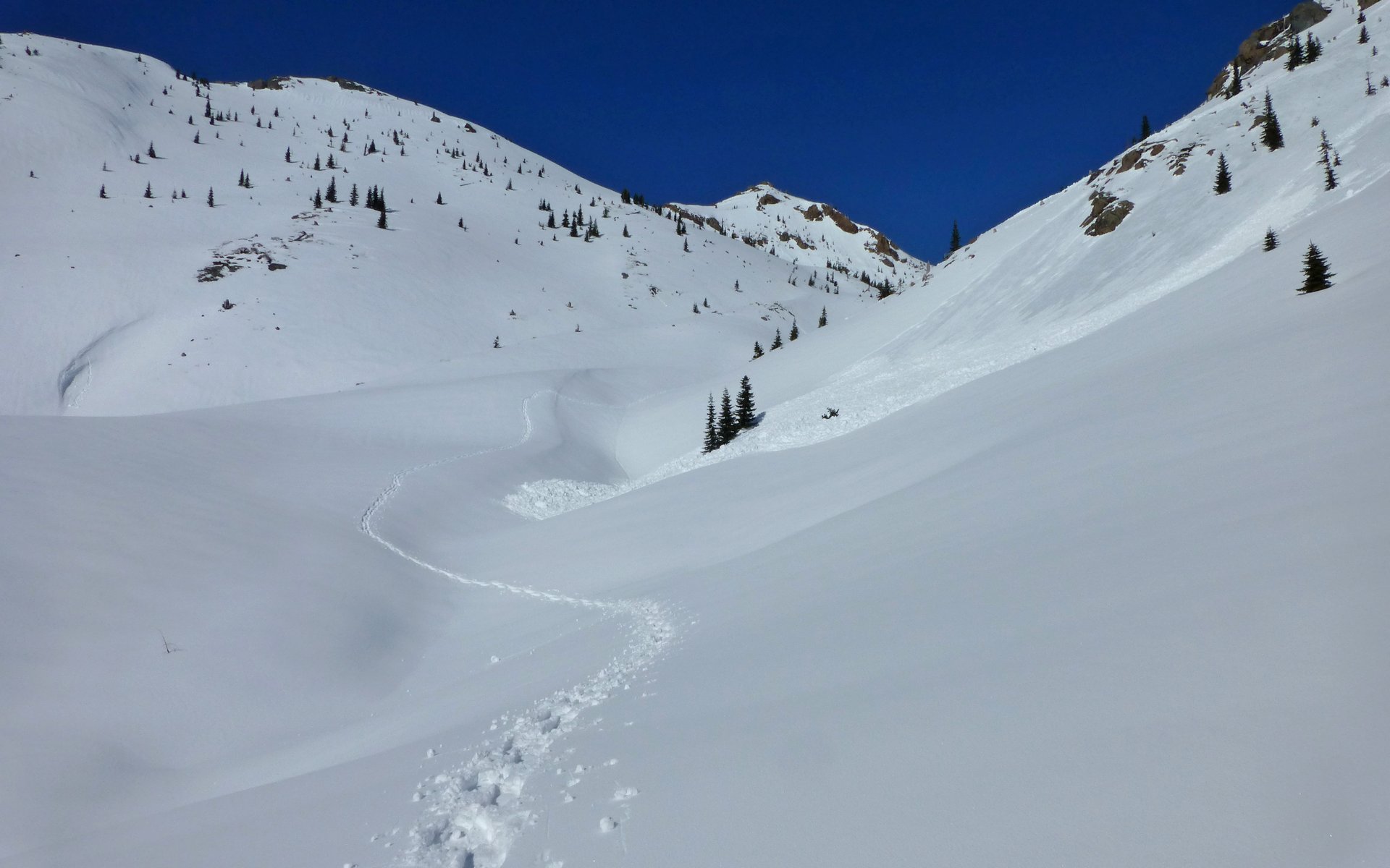
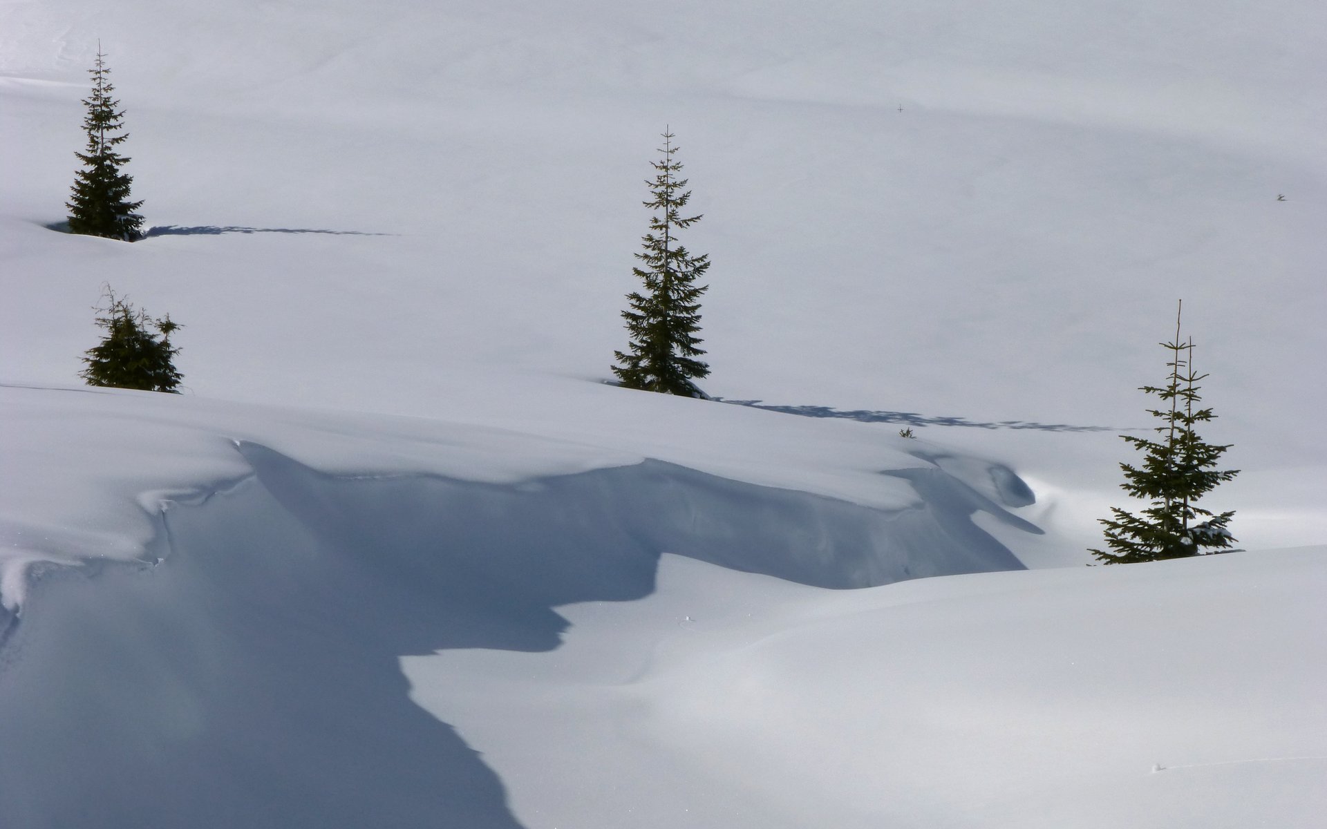
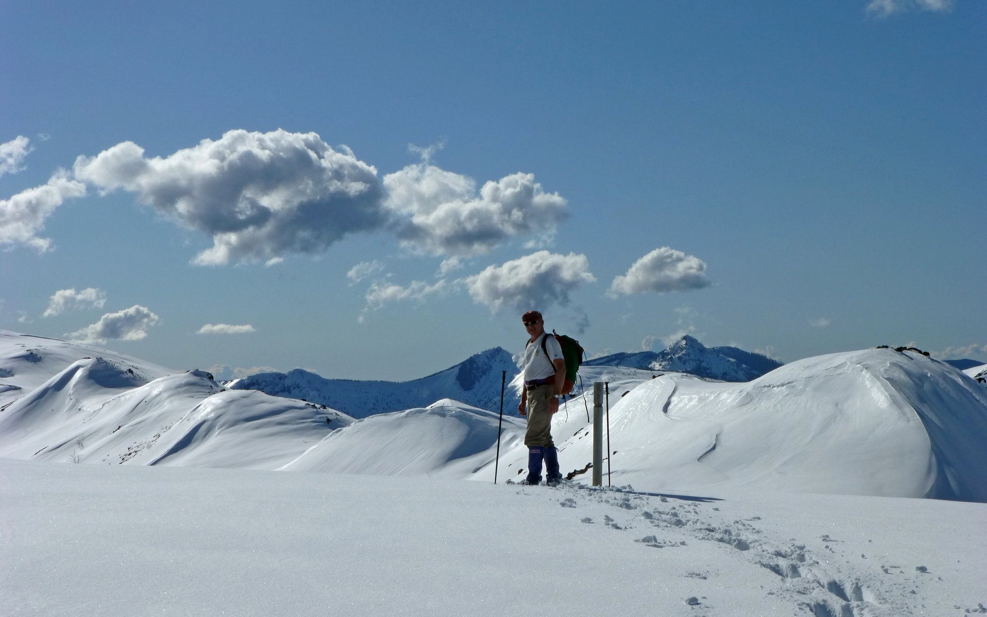
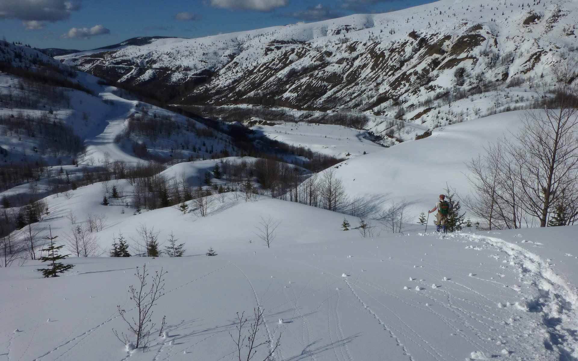
Above the saddle, the snow significantly changed character. It was much more powdery up here, and we'd often be sinking in 6-8" or so. There were also areas where it was hard-packed not far below the surface, where sliding was something that might happen all too easily. There were numerous mini-avalanches all around us. Most may be more accurately described as snow slides, but they were plenty reason enough to avoid the steepest of slopes.
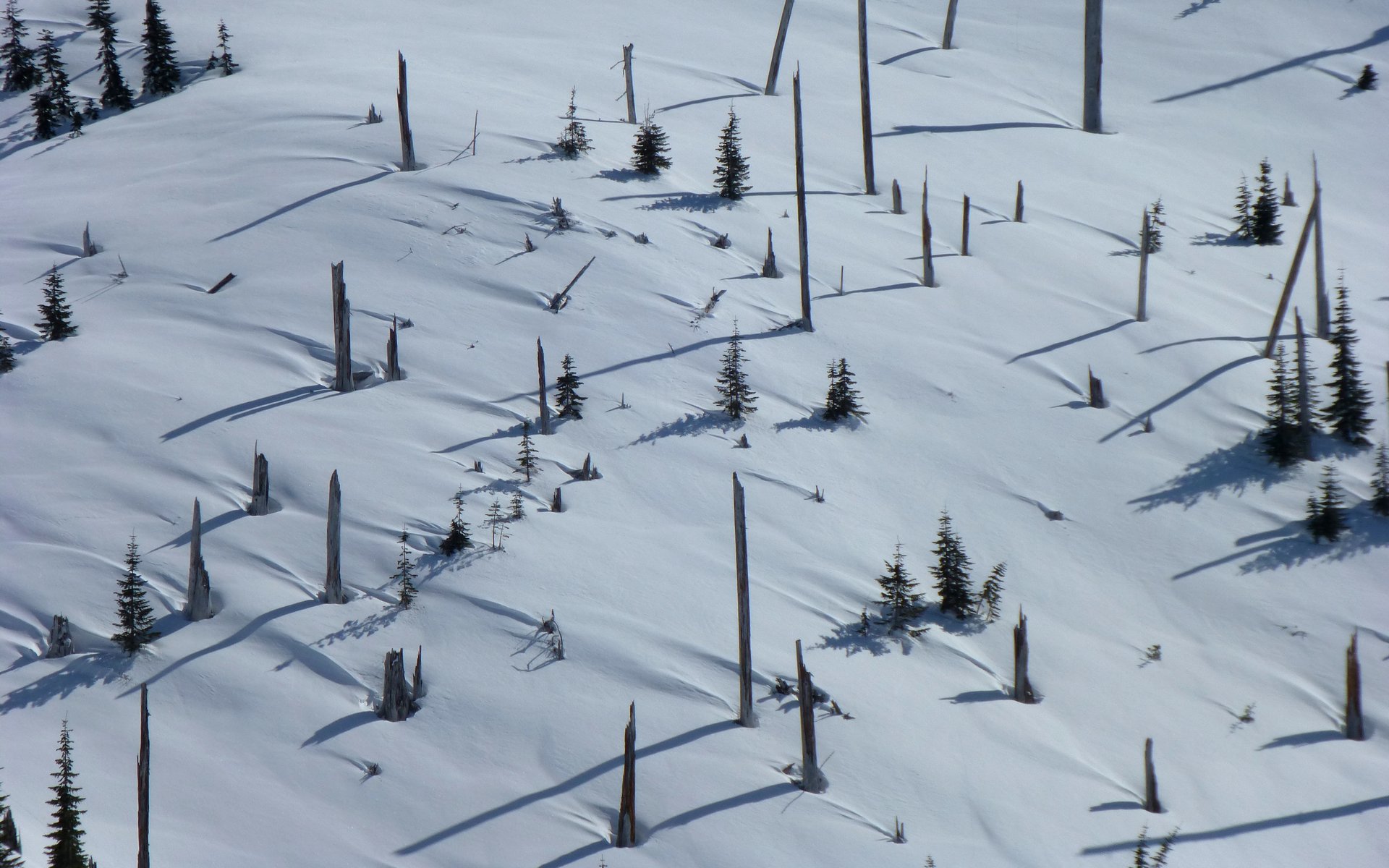
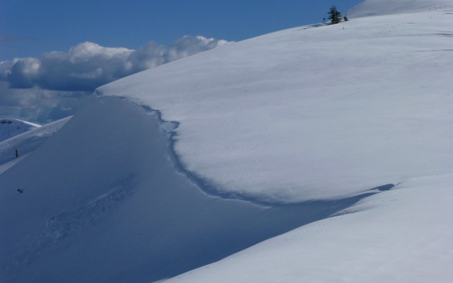
Fascinating wind-blown patterns in the deeper powder snow!
We dropped down from the saddle, as the Coldwater Peak Trail 230 traversed across far too steep a hillside.
As it was, our route was already a fairly steep traverse.
I guess Peder was busy taking photos too. Must've been when I wasn't looking.
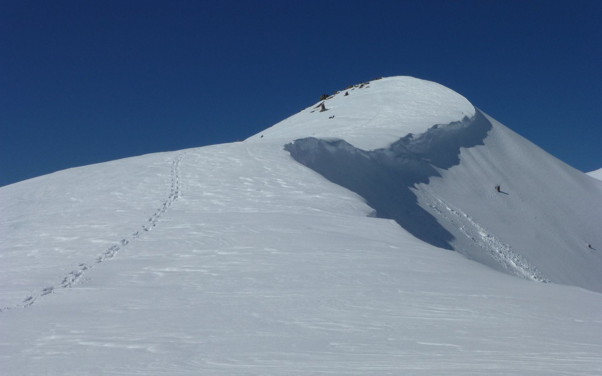
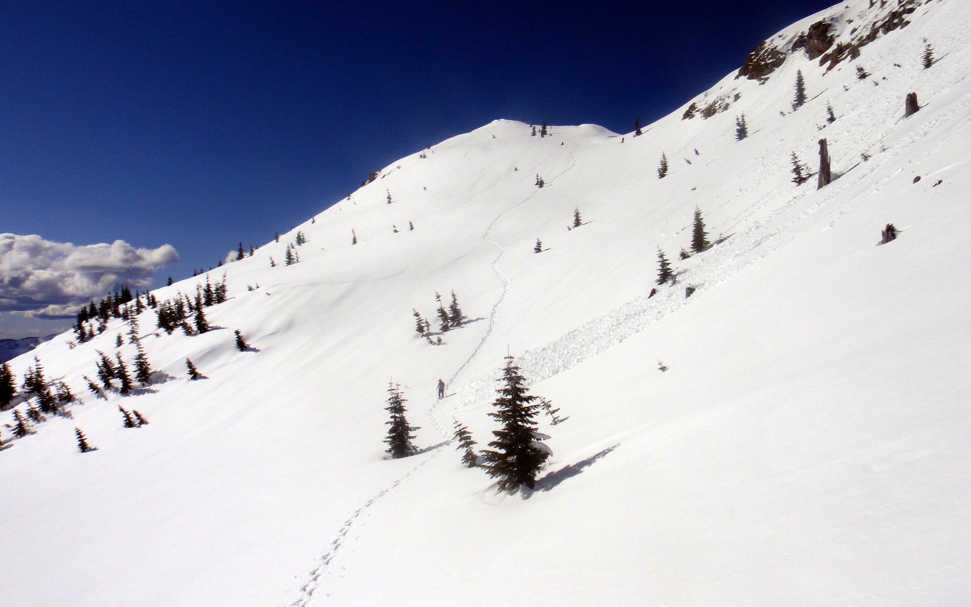
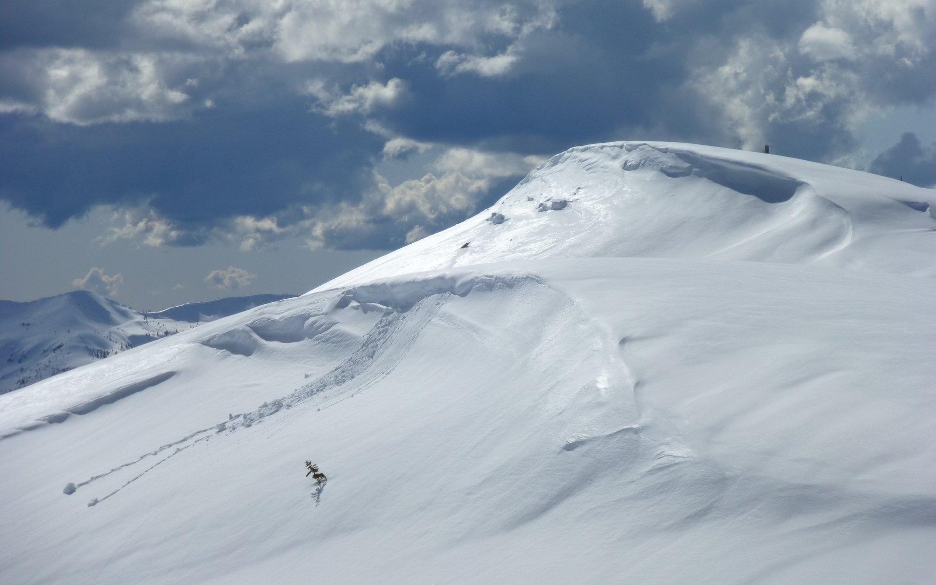
Peder nearing that "pointy peak" I keep mentioning. See the little snow slide coming down from it? We plan to head to the base
of that point, then turn right and cross over the next saddle.
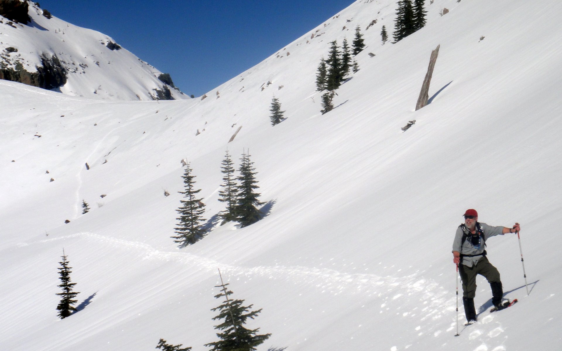
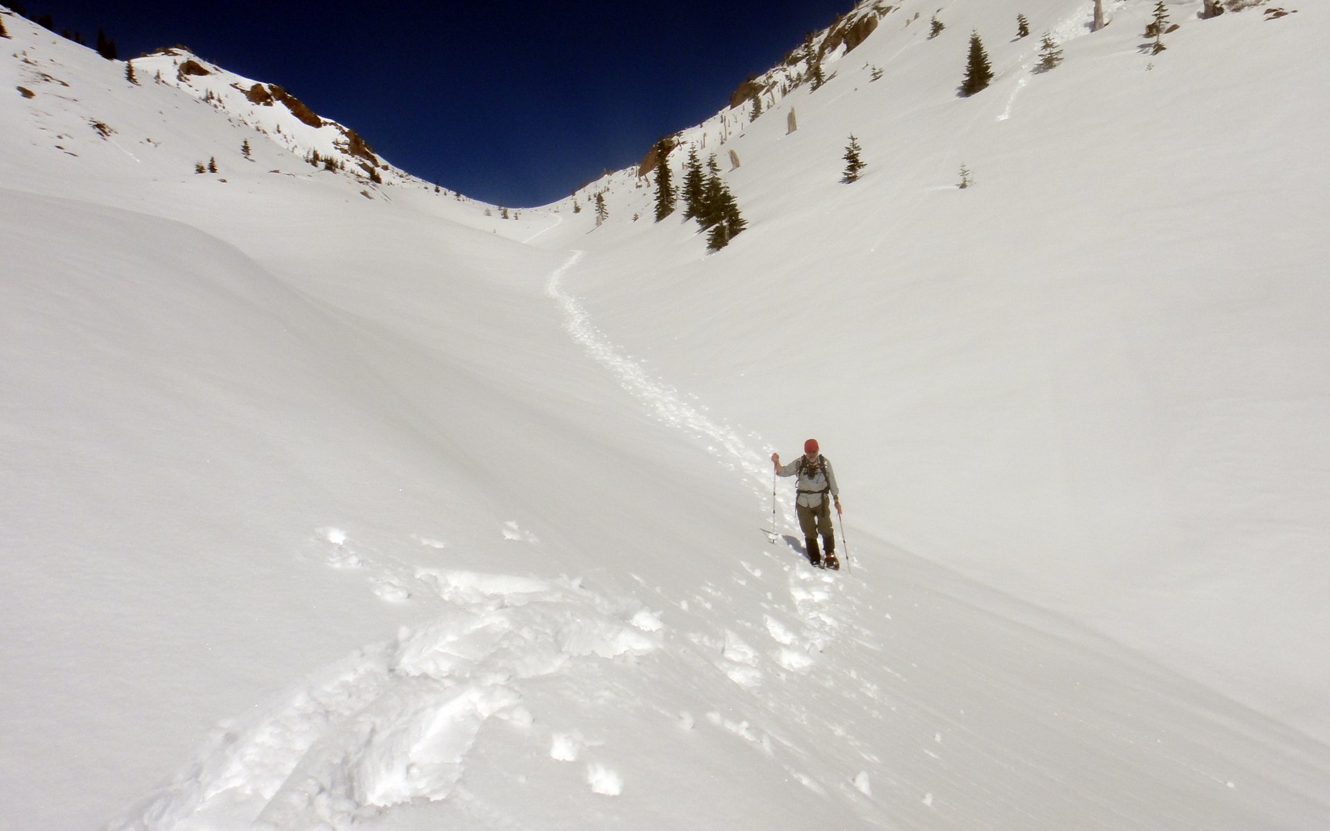
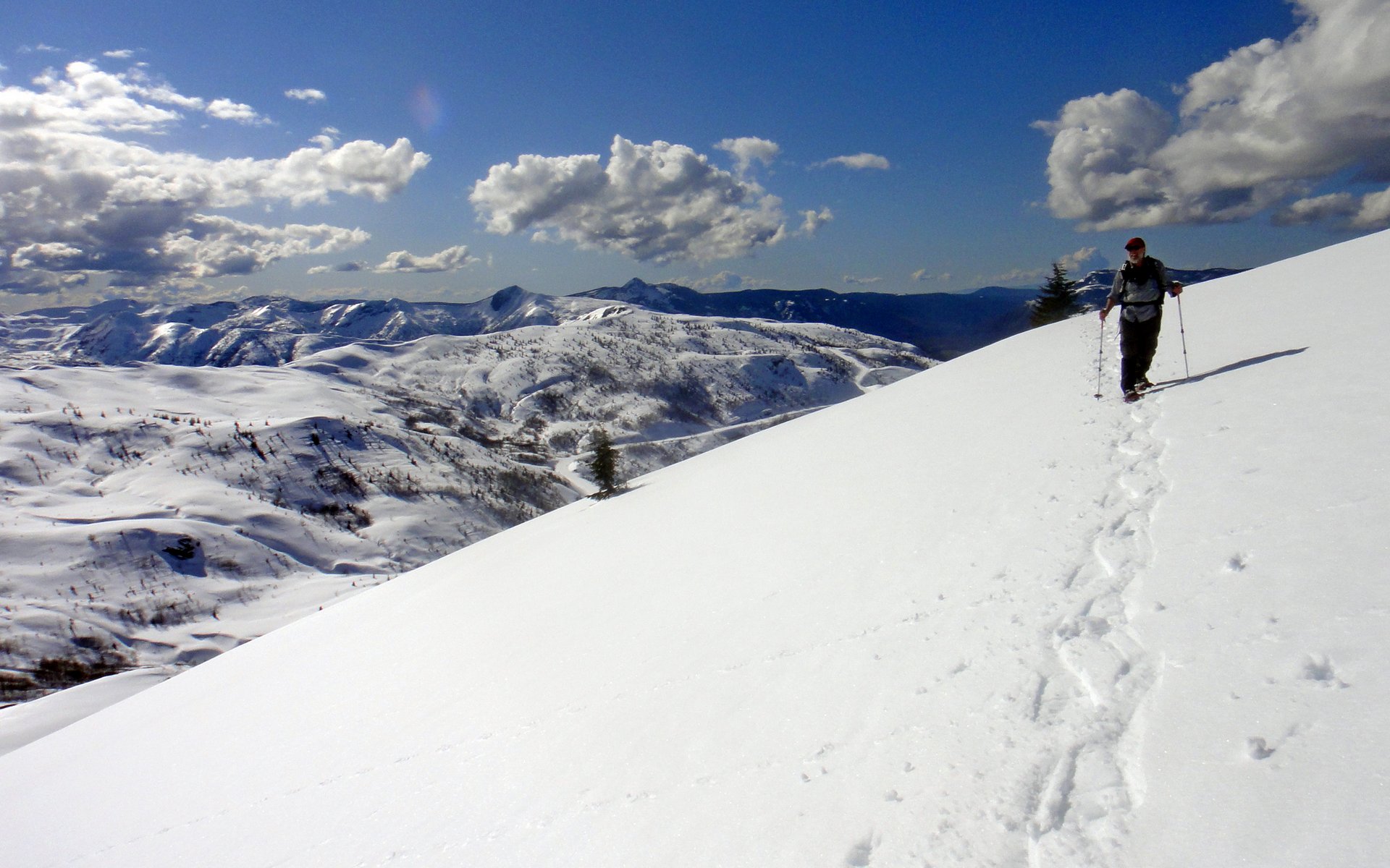
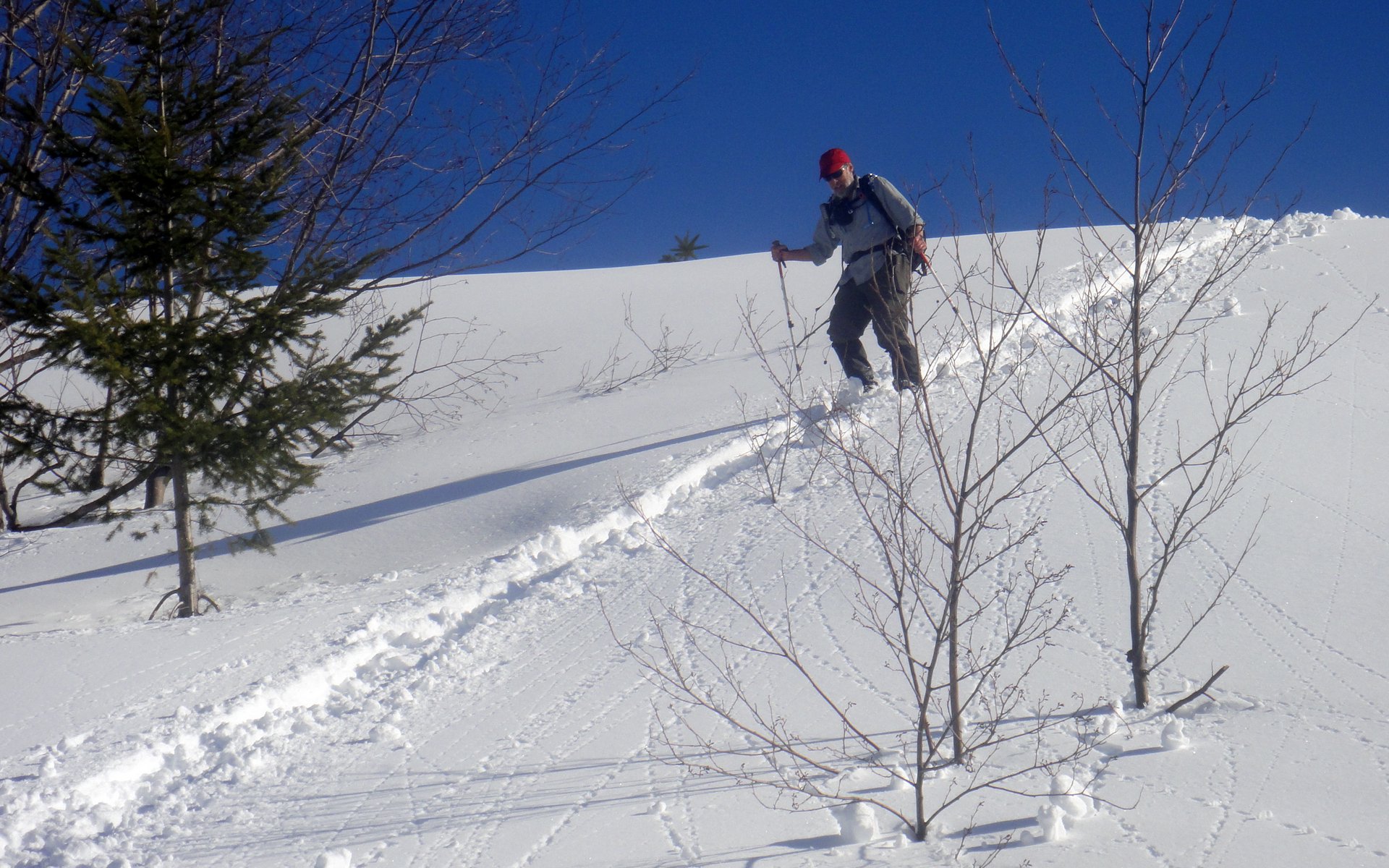
Peder captured the workout nicely with this shot!
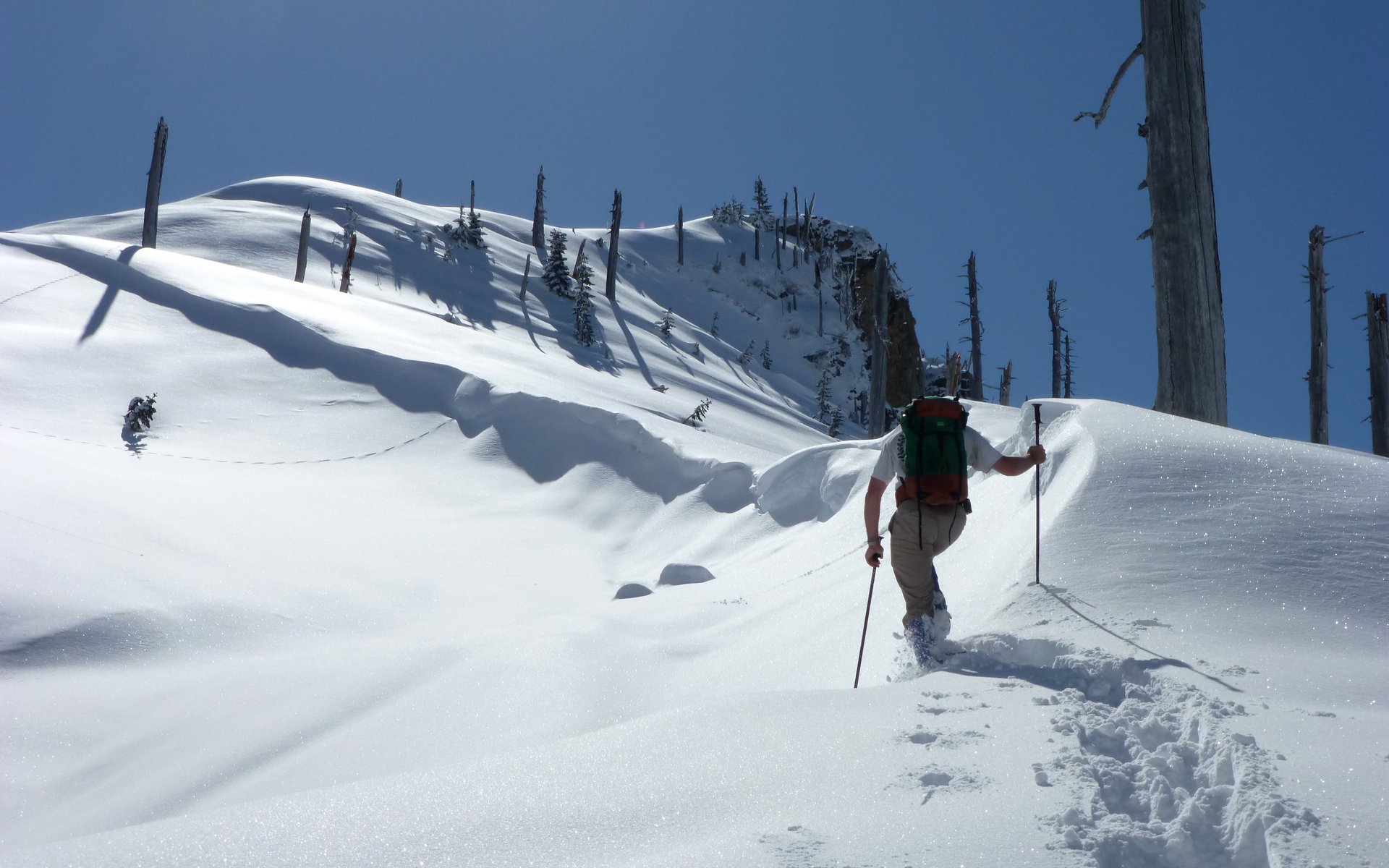
Oh yeah, we're working now!
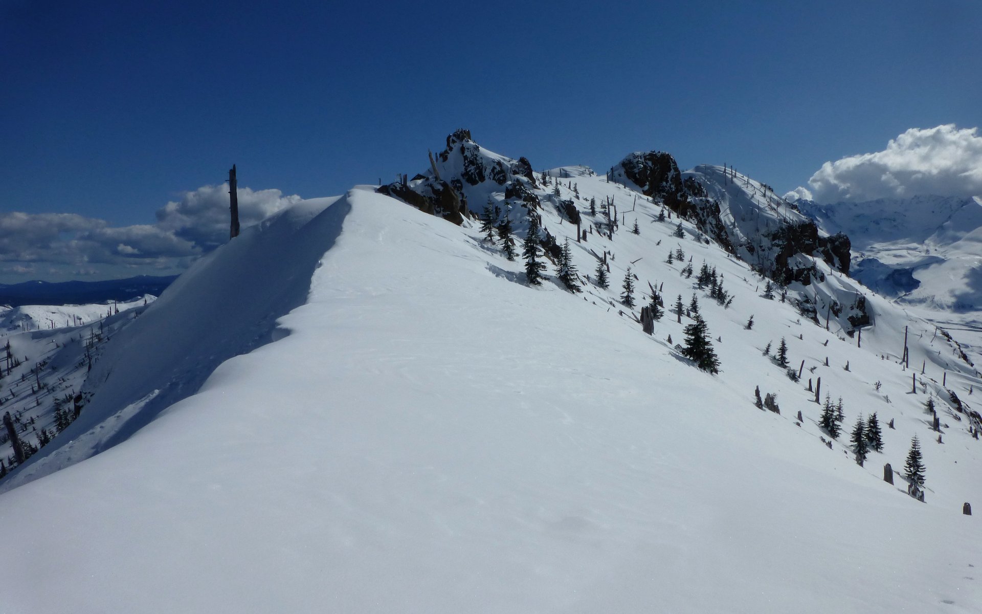
Peder crossing over what turned out to be our high point for the day, roughly 5200' elevation.
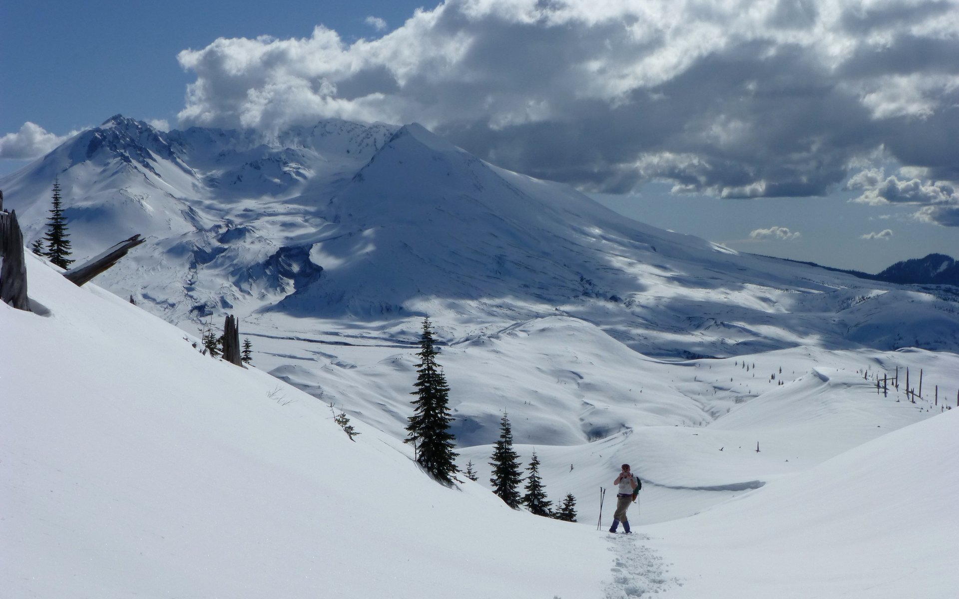
The volcano is still putting on a show for us.
Harry's Ridge, far below. This is our first view of the valley we intend to descend.
From the high point saddle, we took quite a dip before climbing again up to the Boundary Trail.
Finally! We achieved our destination!
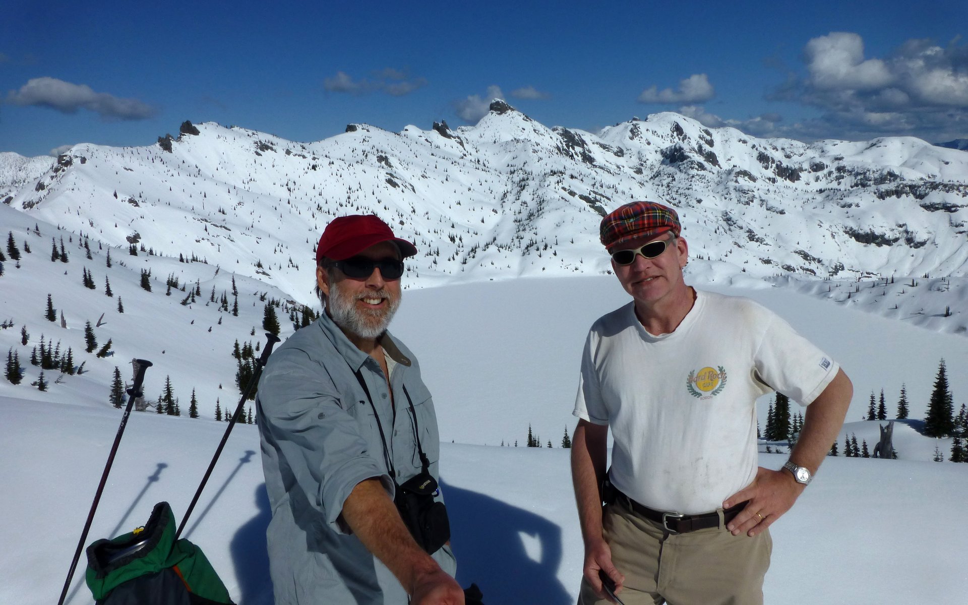
Obligatory "We were there!" shot. I'd carried the StickPic this far; had to use it.
Coldwater Peak, 5740'.
The Dome, 5720'.
Ridgeline followed by Boundary Trail, leading to the Rock Arch.
We spent maybe 30, or even 45, minutes overlooking Saint Helens Lake. Snacking, shooting photos, and just generally soaking it up. Ever since my first trip here, I've always felt this is one of the most beautiful overlooks on Earth. Seeing it in winter only reinforces that feeling.
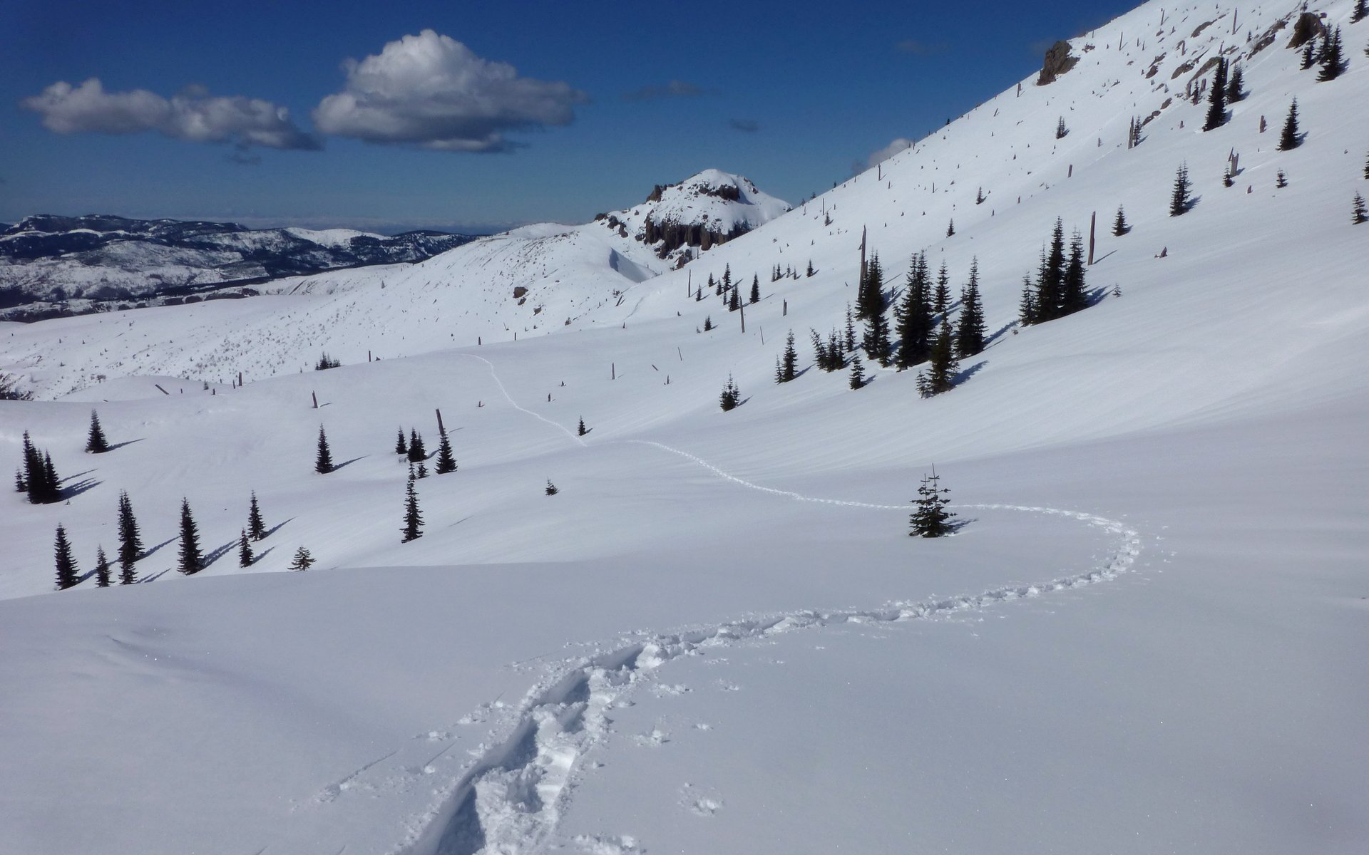
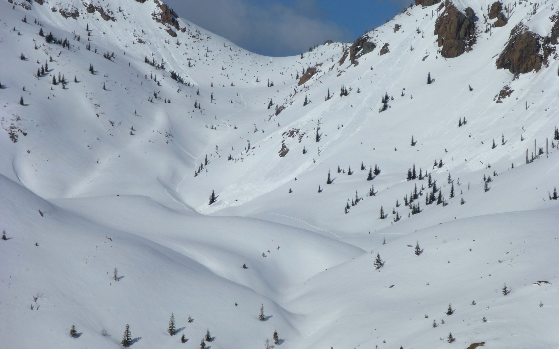
Ultimately, we had to head down. No way to follow the Boundary Trail, of course. That ridgeline was treacherous! So instead we forged our own pathway, down what seemed (on Google Earth, at any rate) to be a really nice valley. It was a rapid descent, quickly losing 500' in the first 1/4 mile, then more gradually as we rounded a bend and traversed over to a nice viewpoint over Spirit Lake.
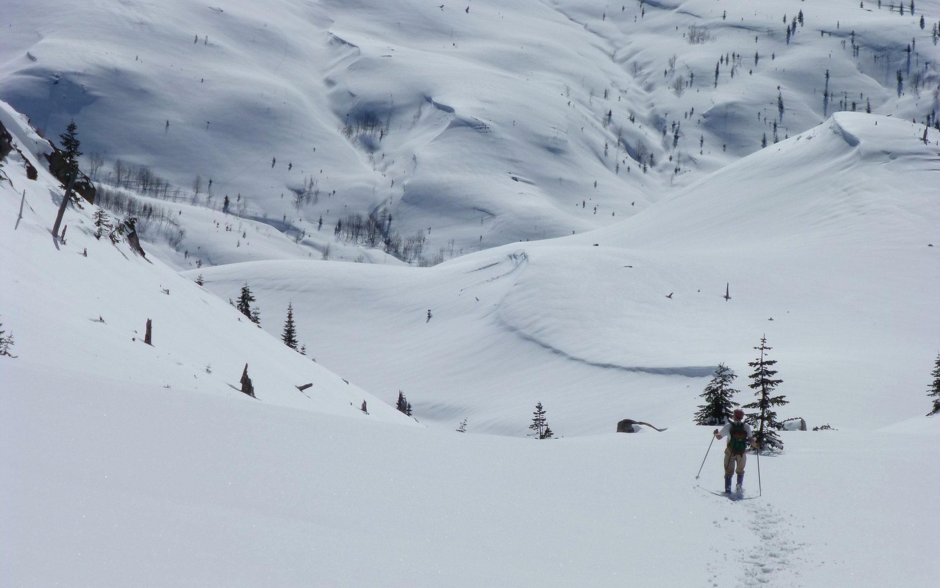
Peder barreling down the valley.
Another mini-avalanche coming down from the Rock Arch.
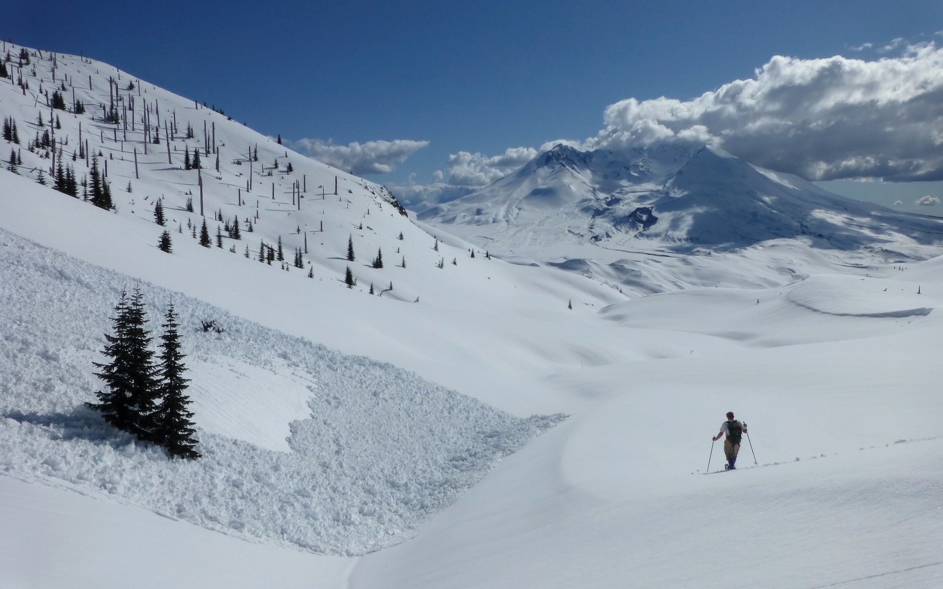
The descent grew less steep, and we just meandered down through an incredibly picturesque, and off-limits in most weather, valley.
Looking back up the valley at the descent route.
Largest avalanche we ran into all day. Probably 3-4' deep, it ran up the opposing slope a bit.
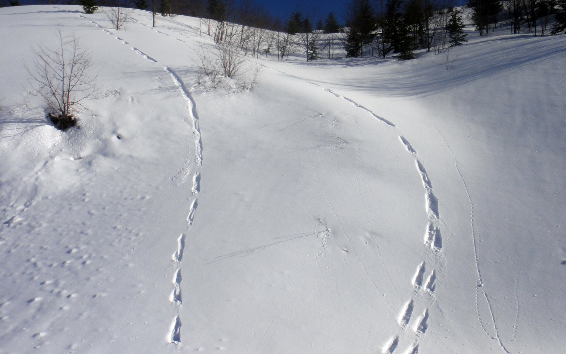
Meandering rambling tracks down the mountainside and around the avalanches.

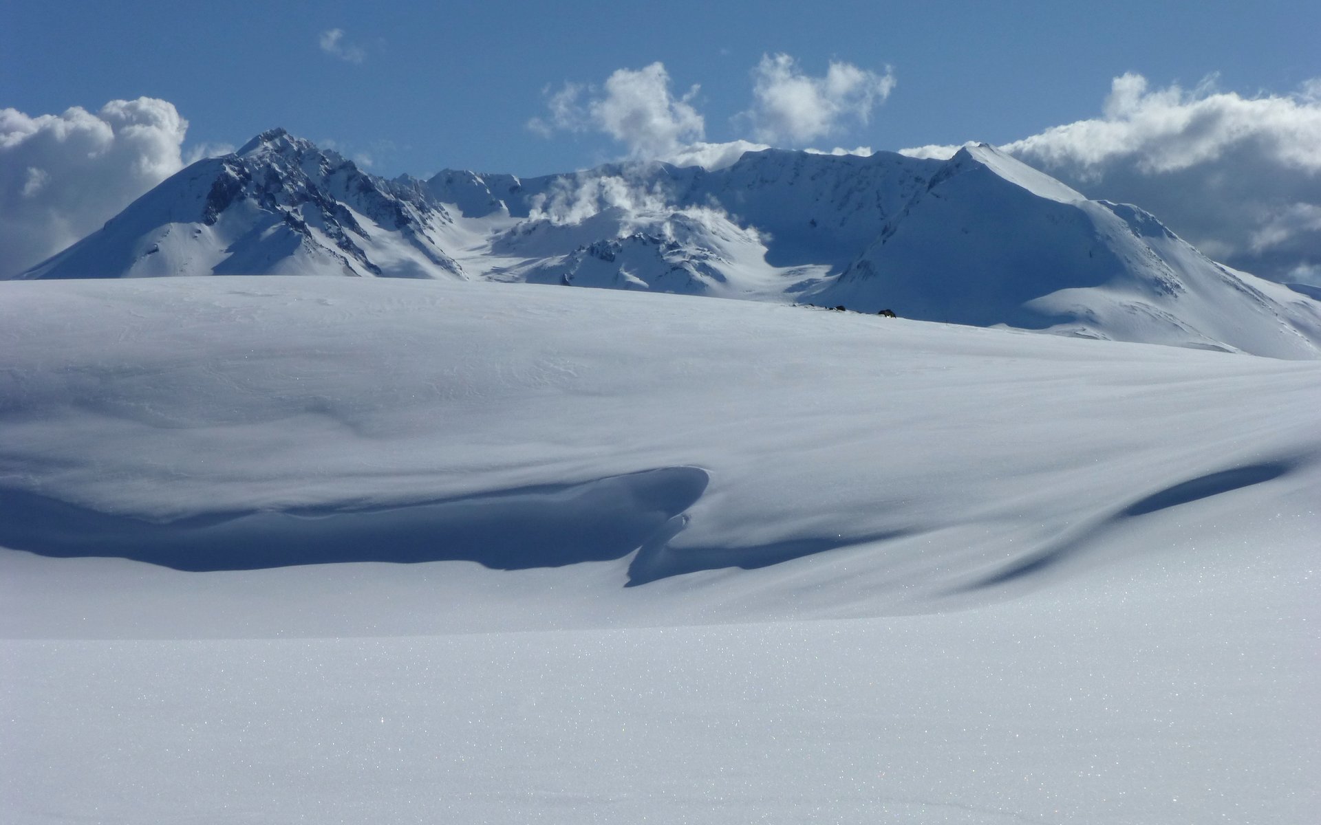
The scenery continued to be spectacular!
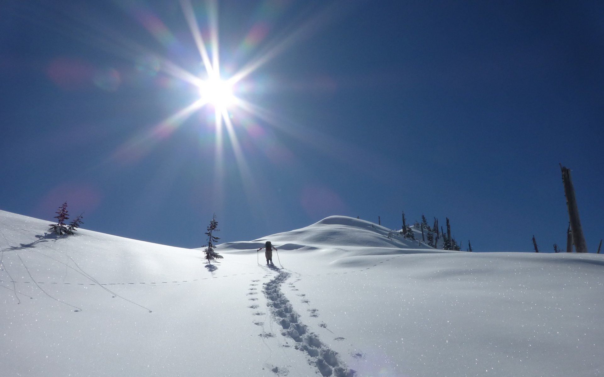
More clouds added some drama to the skies, but never cast a single shadow on us!
Rather than drop all the way down, we traversed a half-mile across a hillside to get a nice view of Spirit Lake.
Spirit Lake
We're at the saddle just past (had we been coming from JRO) the Harry's Ridge junction now.
Mount Adams was pretty much hiding most of the middle part of the day.
Critter tracks were ubiquitous, though. Seemed to be a lot of cats.
We were never at a loss for incredible snow sculptures!
We found the little footbridge that comes right before the Harry's Ridge junction. Just a handrail stuck through the snow.
I recall feeling like we were walking through a New Age album cover photoshoot.
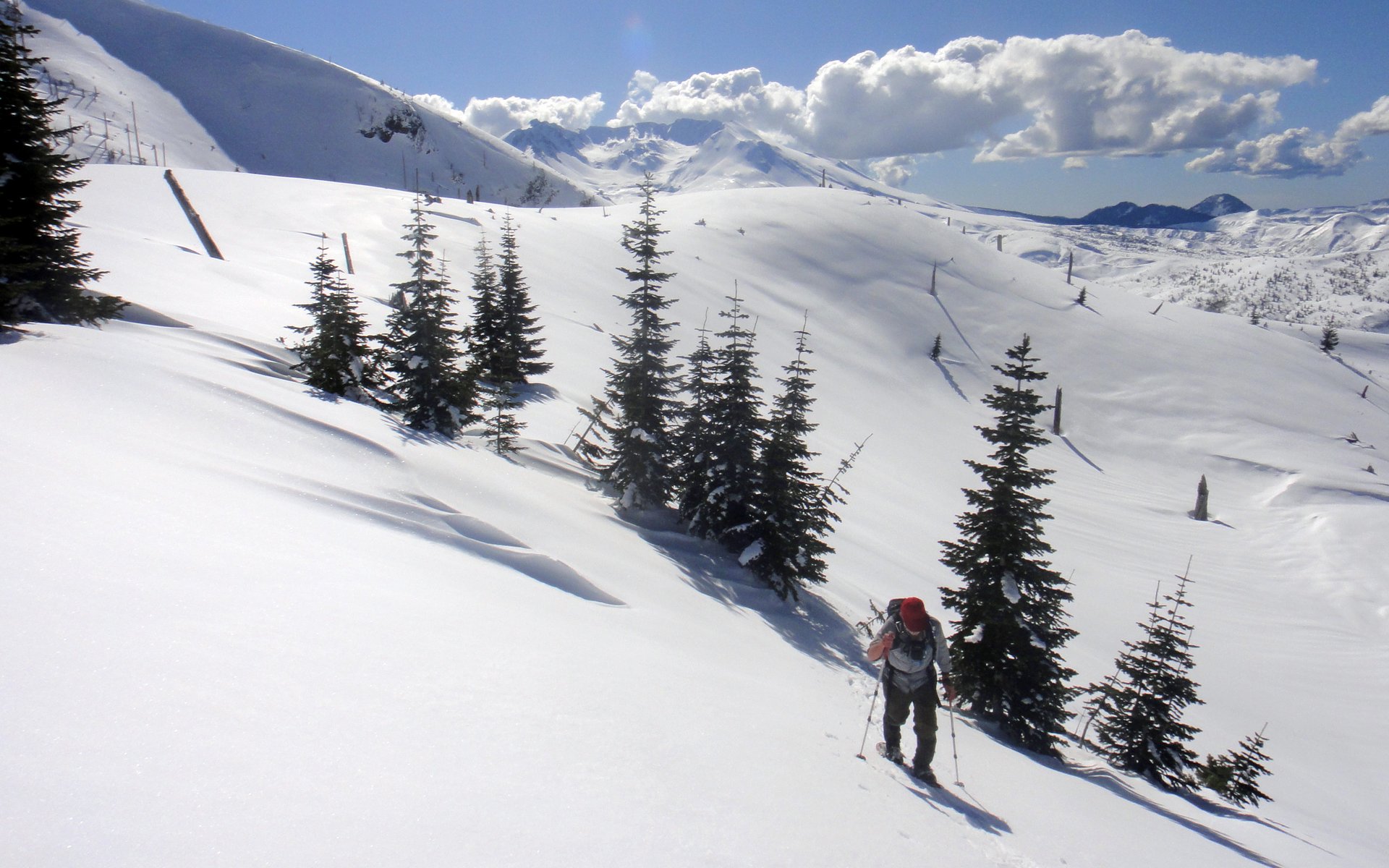
As we wandered on past Harry's Ridge, to our left, and on towards the junction with the Truman Trail 207, we began looking for a shortcut over the ridge that forms the Devil's Elbow. There was no need to go out there, and the traverses would've no doubt been ridiculously steep had we tried. Our general plan was to go towards Johnston Ridge Observatory, and then follow Johnston Ridge down towards the Hummocks. But the day was wearing on quickly, and our average speed probably wasn't even 2mph at this point. Slowing us down even more, the powder was very deep as we traversed the north side of Johnston Ridge towards JRO.
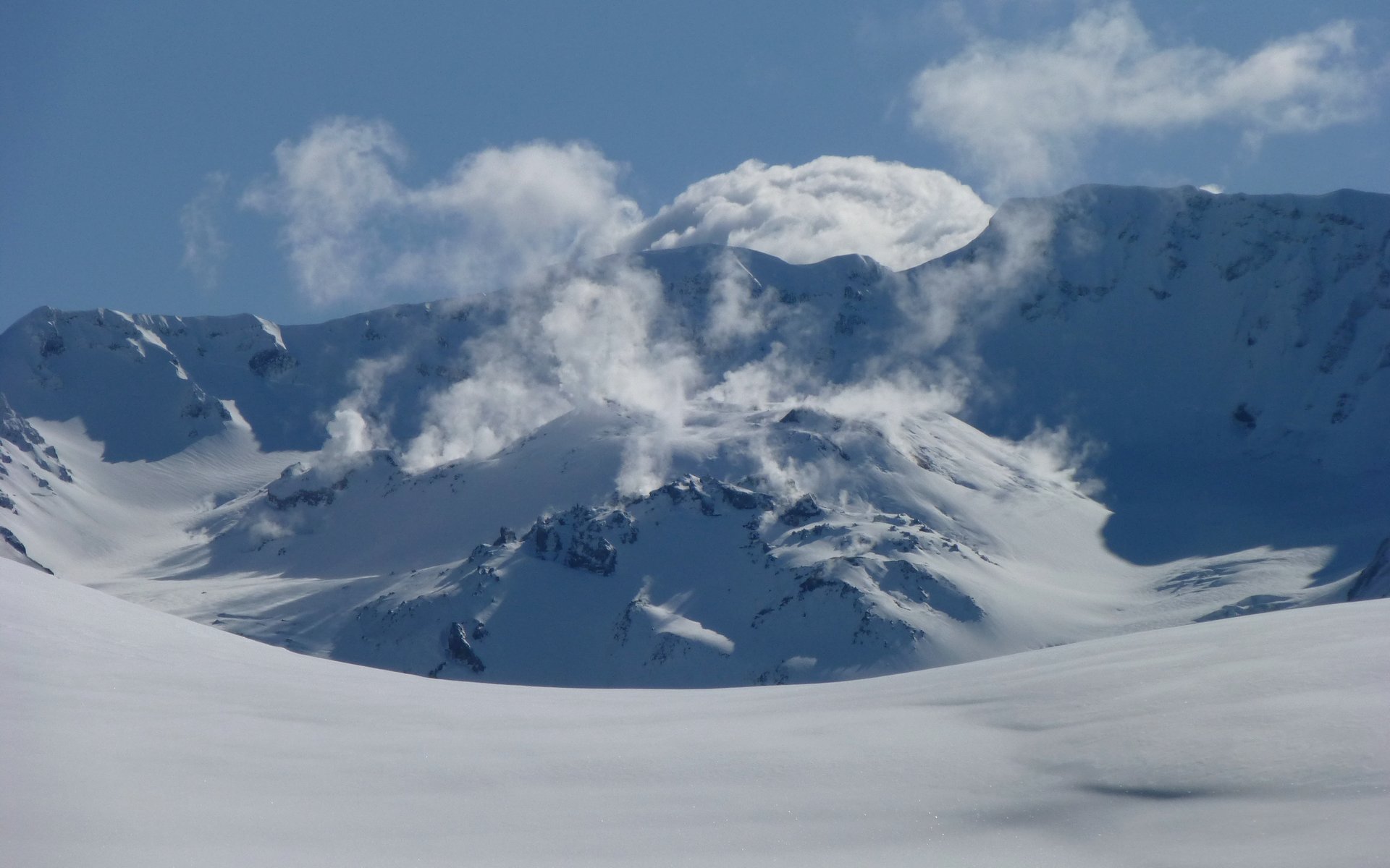
Another irresistible shot of the lava dome.
Another irresistible shot of the lava dome.
The task now was to choose a low point for crossing over this bumpy ridgeline.
The Pumice Plain, where Truman Trail 207 heads south from Boundary Trail.
We were actually back "on the trail" here, but chose to cross through that second gap on right.
Looking back at the valley we had descended.
The math at this point wasn't favorable. It was 3:30. JRO was still a couple miles ahead, and the Hummocks 5-6 miles beyond that. We could see SR-504 below us to the north. To be honest, I was pretty damned beat at this point, although Peder seemed like he'd only just hit the trail! I suggested we drop down and follow the entirely downhill route back to the car. He kindly supported this suggestion, so we found a good route down about 800' or so to the highway. It was buried, but quite a bit easier to keep moving along. We still had 4.5 miles and another 1000' to go down, upon reaching the road.
Escape route in sight!
This stretch was steep enough I could almost ski down on snowshoes!
It felt a little funny to get back into the alder "forest" again.
This is where we ran across three tracks sliding down the road cut. Looks like they were having fun!
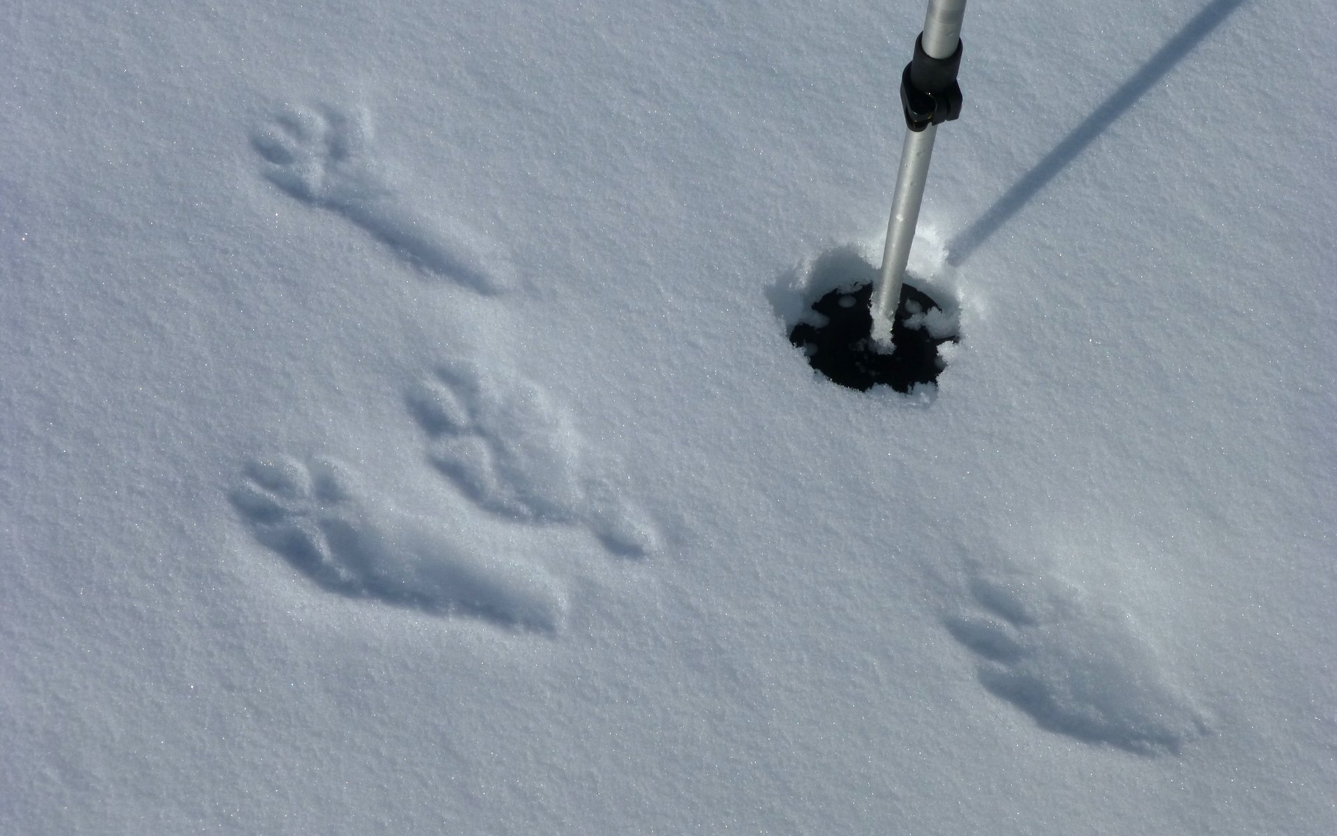
River otters, perhaps? That pole basket measures 4" across, for scale.
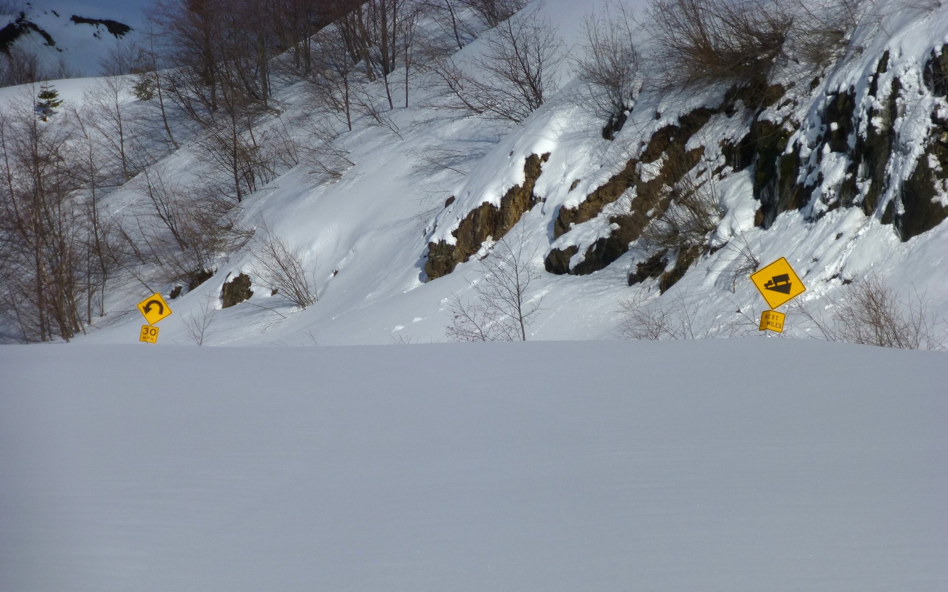
I sorta chuckled at this warning, given where we'd been.
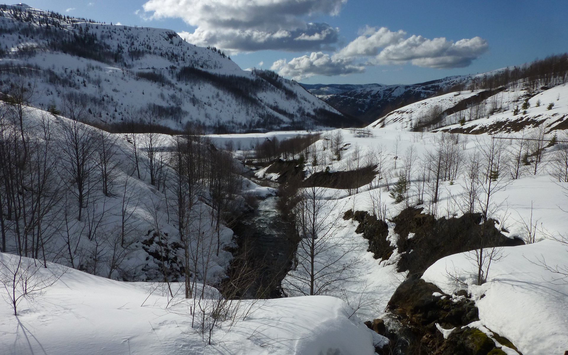
We crossed South Coldwater Creek flowing down, and merging with the outflow from the Spirit Lake spillway tunnel.
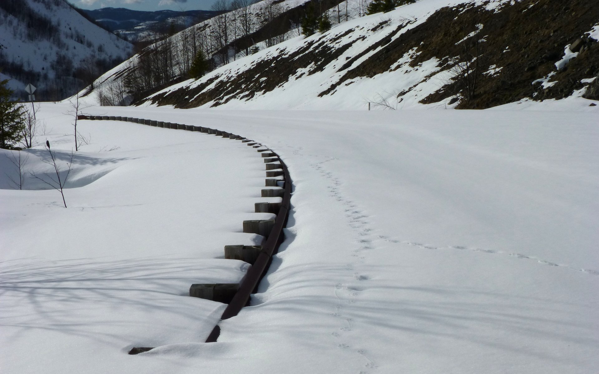
Lots of critter tracks, now. They're the only ones using the highway these days.
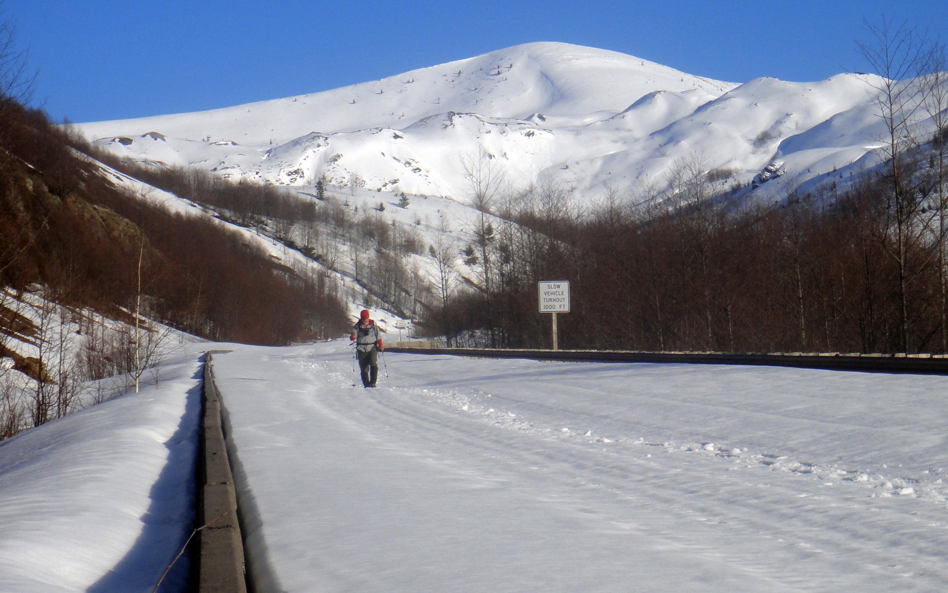
I took off my snowshoes at the 11.2 mile mark, as I was just wiped out now! That sign's for me. Clearly.
Near the point where we had cut off the road, there was a short stretch of bare pavement.
We was it! Not another soul in the blast zone this fine day.
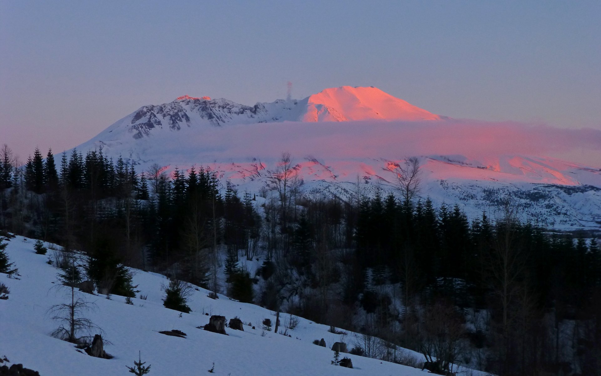
Caught a beautiful sunset as we drove past Coldwater Ridge Visitor's Center.
One last look over our shoulders from Elk Rock Viewpoint. Just about the only place we got good views of Mt. Adams all day.
Final stats were actually rather modest. It was about 14 miles and 3350' EG. (About 8.7 miles, 2250' EG, 3150' EL with snowshoes on.)
Click map for enlargement.
http://gpsfly.org/gps_map.php?gps_id=2177&w=645&h=440
I tell ya, though... Those were some killer 14 miles! Just an epic day on the volcano!!!