
Note: Narrative text added on 2/10/13. Originally posted with just pictures and picture titles.
Lyle Cherry Orchard is piece of land on the Washington side of the east end of the Columbia River Gorge. Approximately 515 acres in size, the land was acquired by the late Nancy Russell, and her husband, Bruce, over a 15 year period starting in 1990. A combination of 15 separate tax lots, the land was donated to, and still owned by Friends of the Columbia Gorge, to which Nancy was a founding member.
This next paragraph was taken from the winter 2010 Friends of the Columbia Gorge newsletter:
An old homestead at the east end bears testament to the remains of what was once a pioneer orchard. The property also holds remnants of a century-old “convict road.” Worked on by convict labor in 1910, four years before the Historic Columbia River Highway was begun, the road was never completed. With sprawling oak woodlands, the Cherry Orchard provides ideal habitat for deer, turkey, and western gray squirrels, but Nancy’s primary intention was to preserve access to panoramic views and create a public trail to the top. She started the project in the 1990s and later hired trail-builders to open a new route up from the pull-out on Washington SR 14, east of the Lyle tunnels. The new route traverses the hills rather than climbing directly up the steep slope. Friends of the Columbia Gorge has led spring hikes on the property for nearly two decades. The land boasts abundant wildflowers from late March to early May, and stewardship teams are working to eliminate star thistle, an invasive plant that is new to the property. Excellent views of the Cherry Orchard can be seen from across the river at Tom McCall Preserve and Rowena Plateau, just above the Historic Columbia River Highway east of Mosier. From this vantage point, the entire Cherry Orchard, including 1000- foot cliff walls scoured into shape by ice age floods, is in full view. The Land Trust’s priorities for this spectacular property are to keep it open to the public for hiking, preserve habitat for wildlife, and protect its scenic vistas for generations to come.
I was first turned on to this area by my friends, and fellow PH members, Greg Lief and Cheryl Hill (justpeachy) in the spring of 2010. I was fortunate enough to be there at the peak of springtime flowering. During that visit, as well as subsequent visits, I saw opportunities to explore some of the other side trails and roads, but the timing was never right. That is until Saturday, February 9th.
With the coming weekend weather forecasted to be sunny in the Eastern Gorge, I called up Hiker Chris and asked if he was interested in going to Lyle Cherry Orchard, a place he had never been to before. Of course he was. Chris is open just about anything as far as hiking goes - except for crazy early morning meet-ups like the Loonies do.
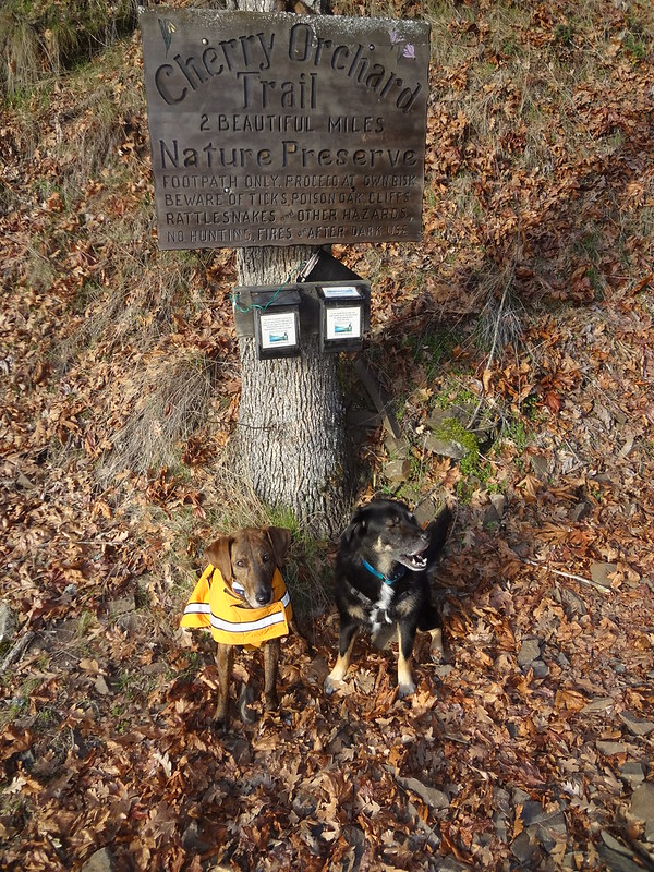
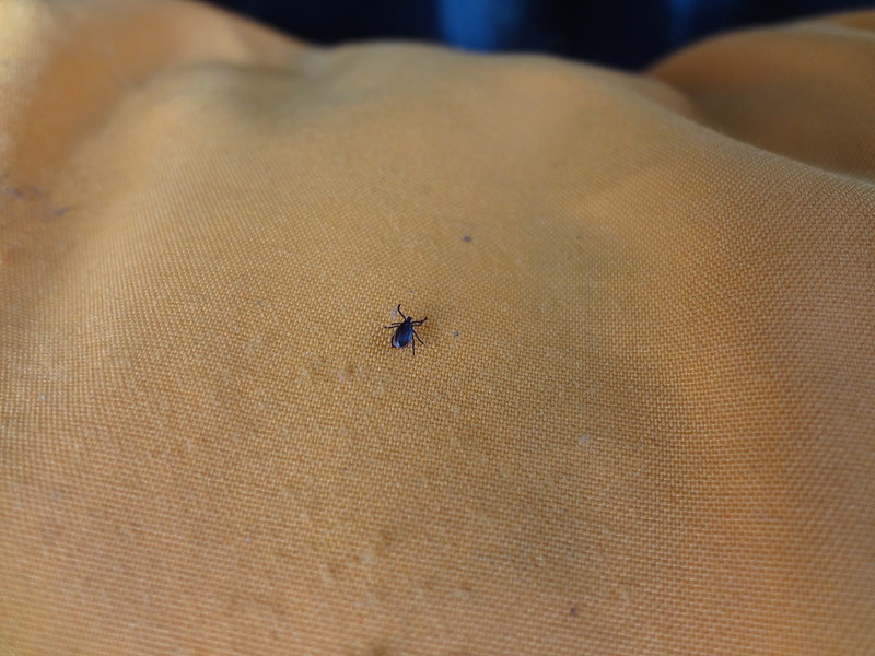
I decided to bring my dogs, Buddy and Timmy, since I knew the poison oak had not leafed out yet and that there would be minimal ticks. More on the ticks later.
Before heading out, I researched the area on maps and on the Internet. Based on another PH TR, it sounded like the convict road was one exploration option. Looking at maps, there were a series of roads above the cherry orchard that made it look like some sort of loop could be put together by coming back down one of the ridges closer to the town of Lyle, hooking up with either one of the Lyle bench trails or the convict road. Was it doable? Read on my TFFs (trail friends forever).
The PH field guide has a good description of the main trail to the cherry orchard, so I won't go into too much detail on that section.
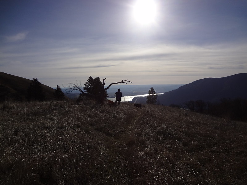
Sign/Buddy & Timmy:
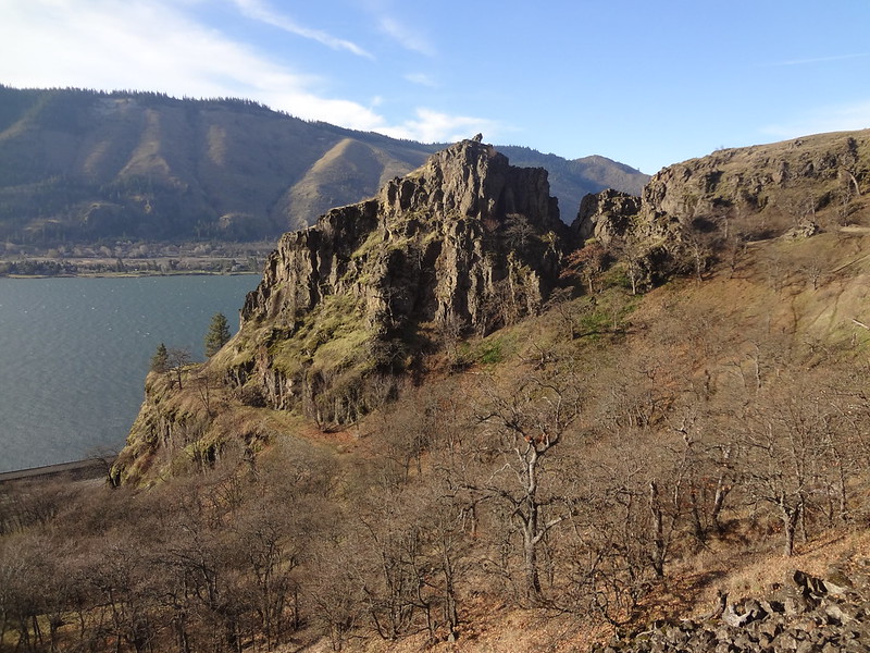
Convict road rounding the corner (middle left):
Lyle Bench. There are actually two benches. I have seen them elsewhere called the lower and upper benches.
Getting higher/Lyle Bench:
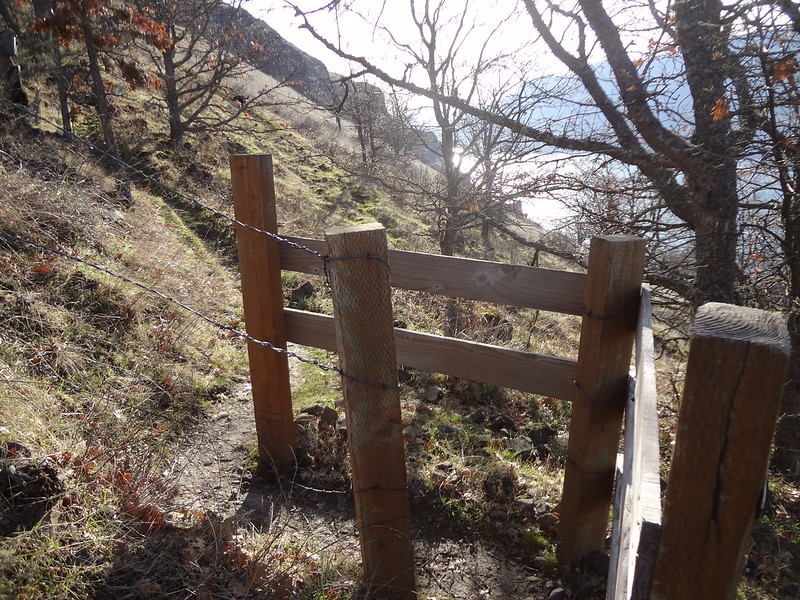
The first gate. I'm not sure what the purpose of the gates are, since the fences don't extend very far on either side. Horse and/or mountain bike deterrence maybe?
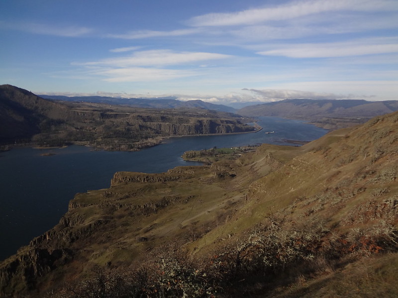
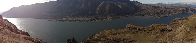
Columbia River/Lyle Bench pano. This turned out better than expected. Panoramic shots sometimes look distorted. Plus, I thought the sun in the east would look worse.
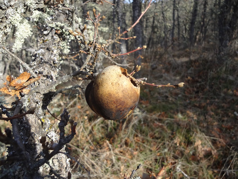
This is either an oak apple or an oak marble gall. Both are caused by the secretions of a wasp larva. Is there an expert out there that can tell the difference?
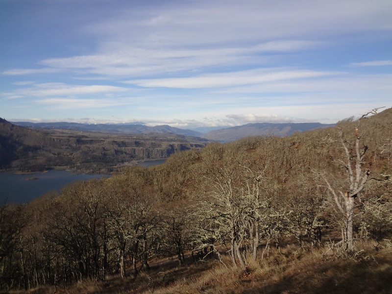
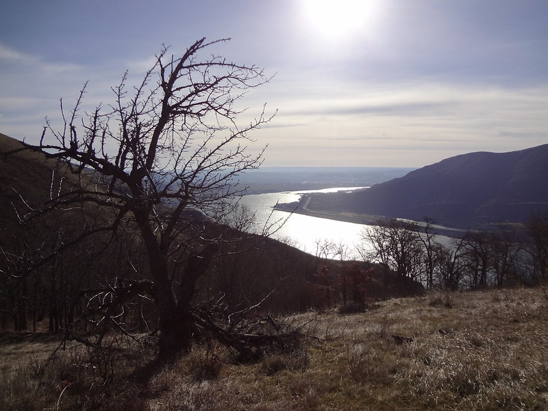
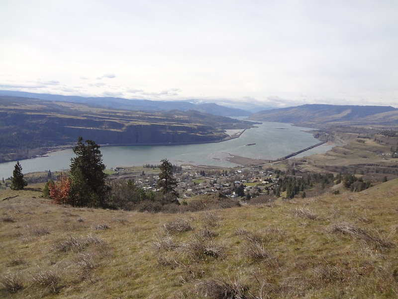
Columbia River/Lyle Bench/Klickitat River inflow. The inflow can be distinguished by the dark sand bars (right center near the barge).
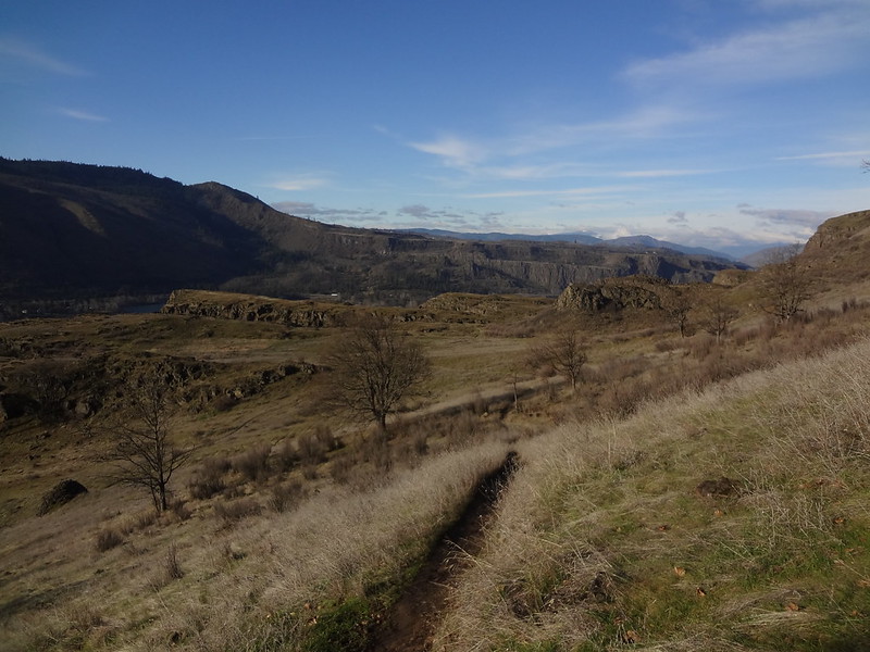
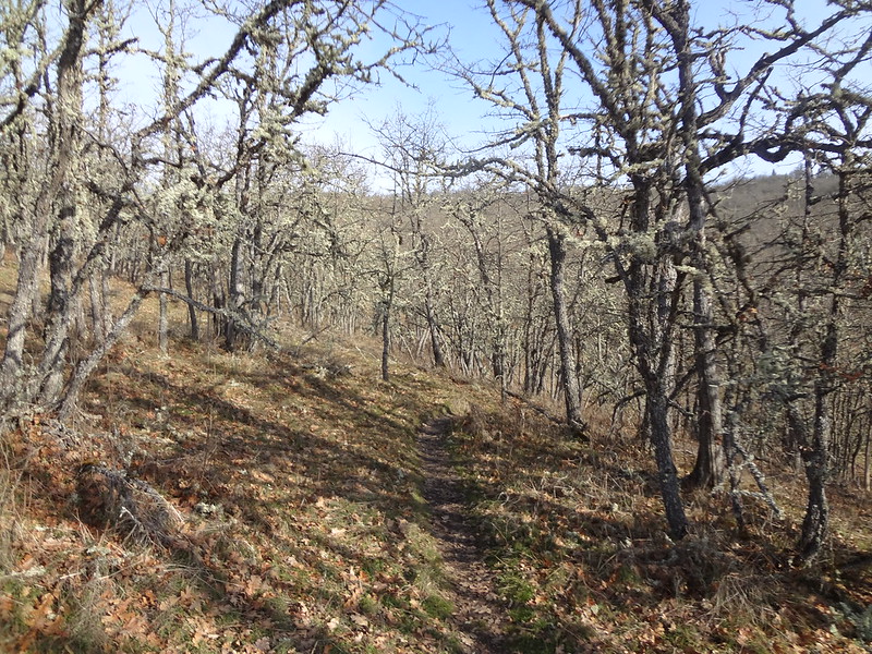
Trail going through scrub oak:
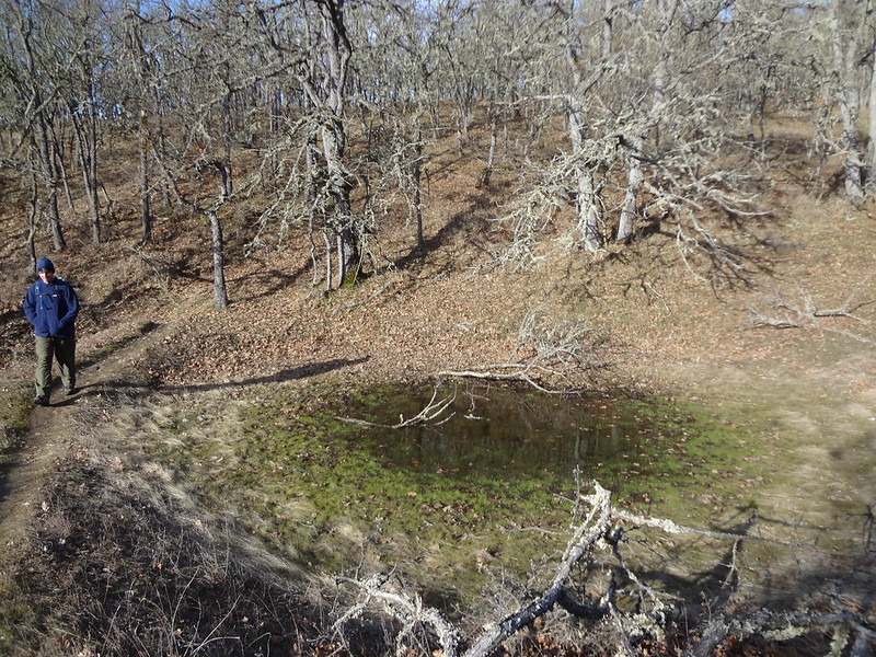
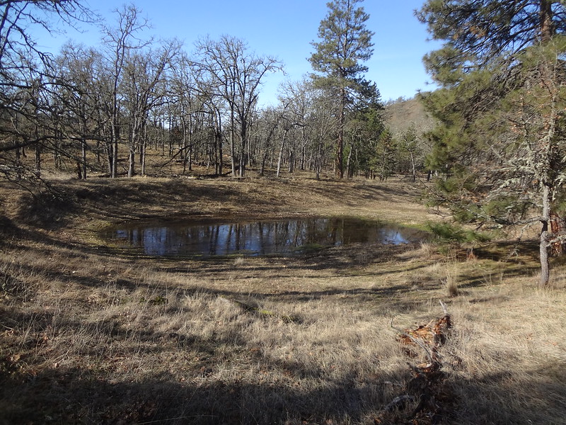
Seasonal pond:
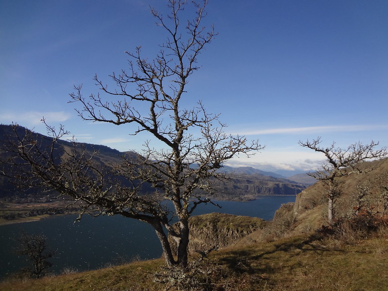
Columbia River/scrub oak:
The trail eventually meets a dirt road. Right leads down to the orchard. We went there first.
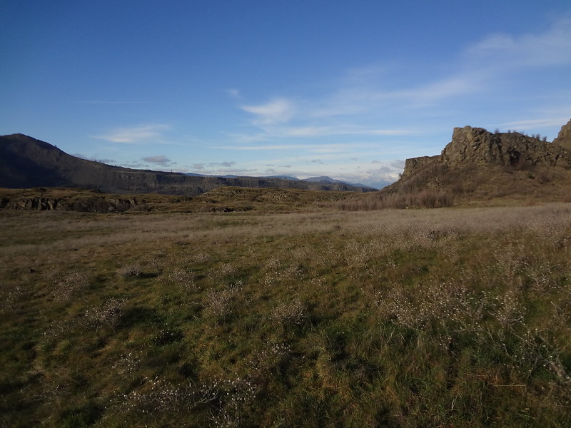
Looking East/nearing the orchard:
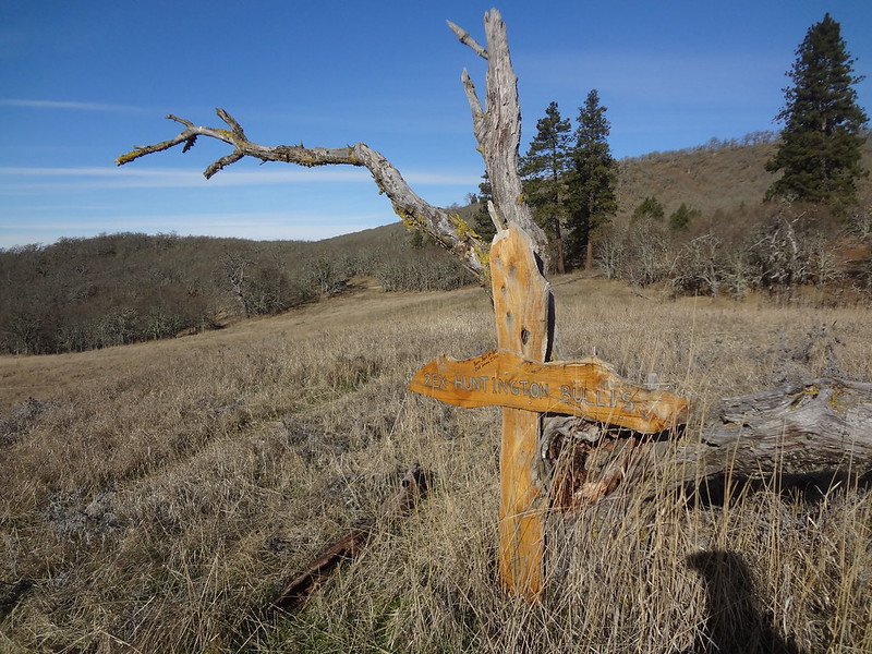
Remembrance of a loved one/just before the orchard:
Cherry tree/Columbia River/The Dalles. This tree is one of the few trees still alive from the original orchard.
Scrub oak/Columbia River:
After walking around the perimeter of the cherry orchard vicinity, it was time follow the dirt road in the other direction toward other roads shown on the maps I had looked at.
Right away the road passes a seasonal pond. We heard it before we saw it due to the large number of frogs making a huge racket. They quieted the instant they were aware of our presence.
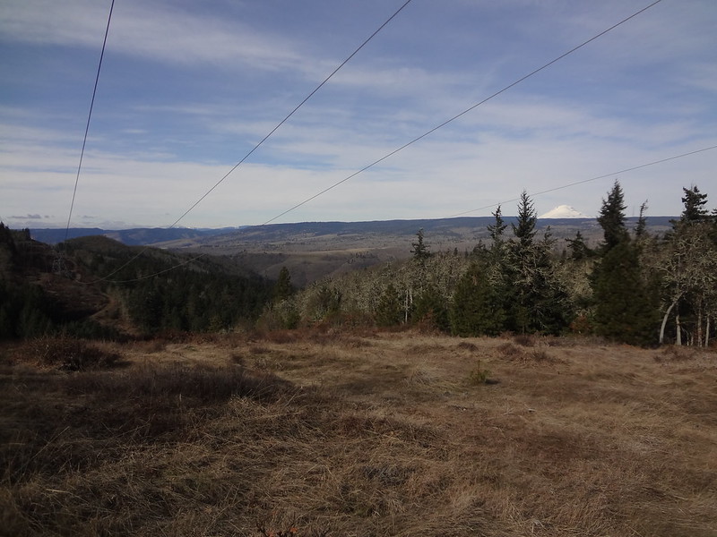
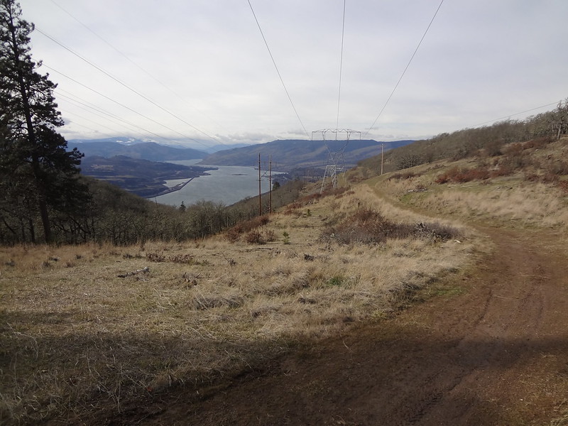
The road heads uphill through a microclimate of ponderosa pines and Douglas firs before coming to an intersection at the power lines. We followed the power lines east. I wanted to see if we could make it to the hills within Doug's Beach State Park. Terry Richards wrote an article referencing hiking opportunities there, so that was a thought.
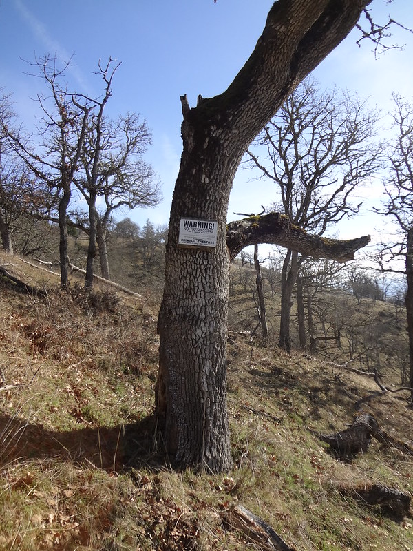
However, we soon reached a barbed wire fence and "No Trespassing" signs. A trail ran along the north/south aligned fence, so we followed that south to see where it went and to see if the fence veered east.
No trespassing sign:
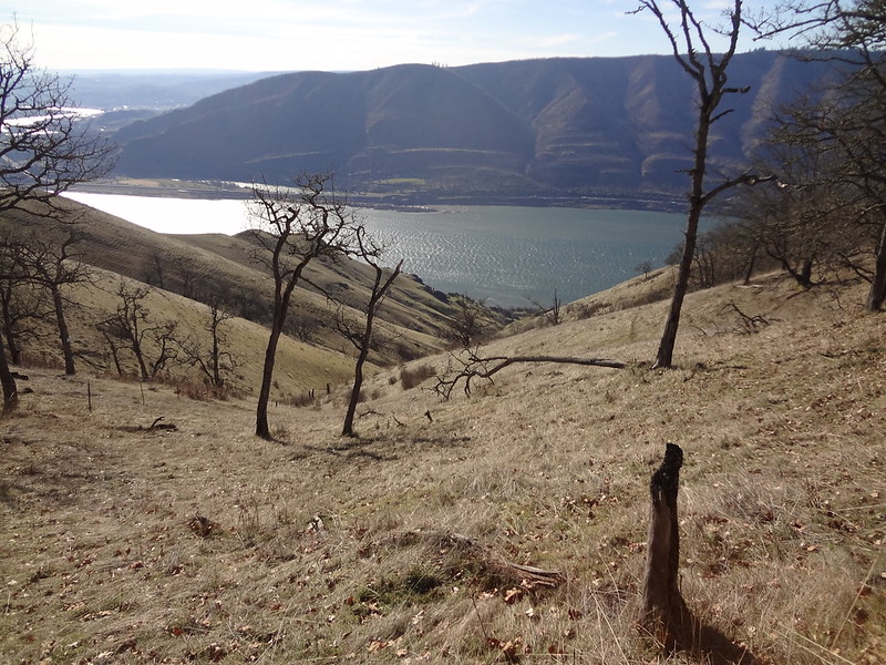
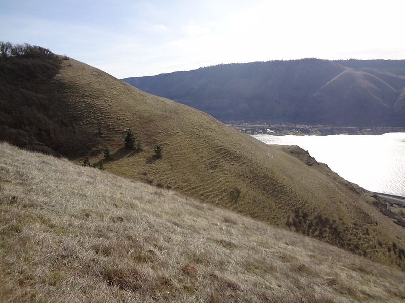
Still following the fence line, the trail went up to the top of a ridge where we could see down a ravine all the way to the Columbia River. Not wanting to scramble down the ravine without knowledge of property lines, we stopped for a few minutes to rest, enjoy the sun and have a snack. After preparing to go back, I noticed a tick on my shirt, then one on my pants, then one on my pack. Chris found one on his pack too. Then I found two on Buddy's coat. What are ticks doing out in early February?
View from our resting spot:
Once we were back where we initially met the fence, we followed the fence line north, which was actually an overgrown road. That road led to another dirt road, which on my GPS was noted as Riverview Drive.
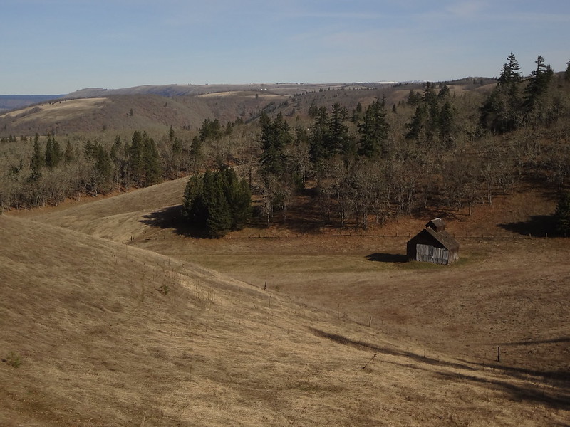
Old barn in a field. Taken while following the fence line.
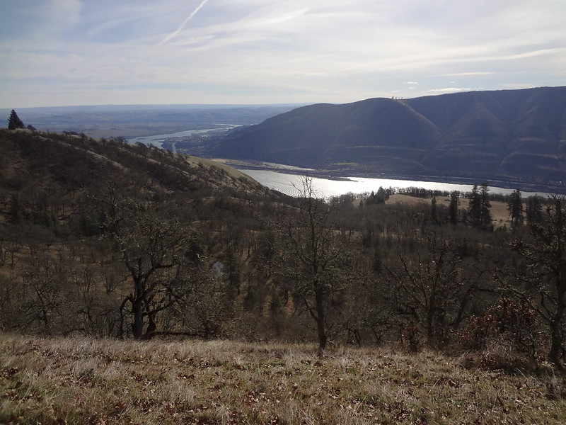
Turning south on Riverview drive, it eventually led back under the power lines to one of our previous locations. Instead of going the way we came, we followed Riverview Drive, which mainly stayed on the ridge above the Lyle Cherry Orchard land.
Power lines/Mt. Adams:
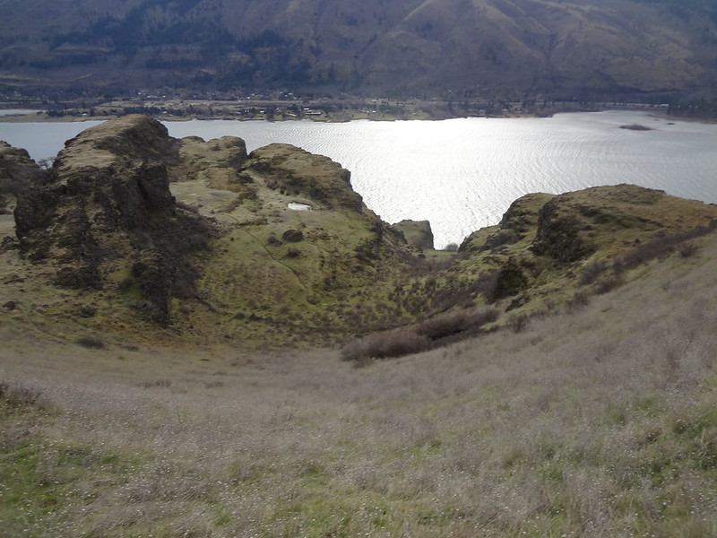
The views from this dirt road were some of the best of the trip. Note the cherry orchard area in the middle right.
Above Lyle Cherry Orchard video. Can you hear the frogs from the pond below?
Riverview Drive continues on west for quite a while, with many interesting things to look at.
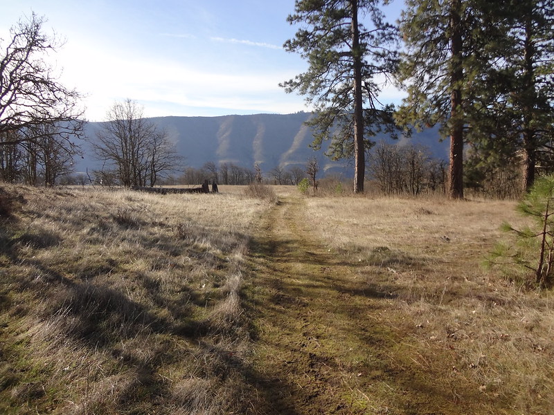
Road on the ridge:
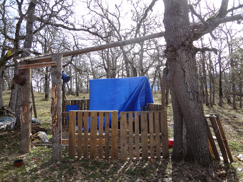
Hunters camp:
Soon we were nearing the edge of the town of Lyle. Not wanting to get down too far into Lyle without knowing how to get back to the Lyle Cherry Orchard land, we decided to backtrack a bit so we could follow a ridge that looked like it lead to the western edge of the upper Lyle bench.
View from Riverview Drive/nearing the town of Lyle:
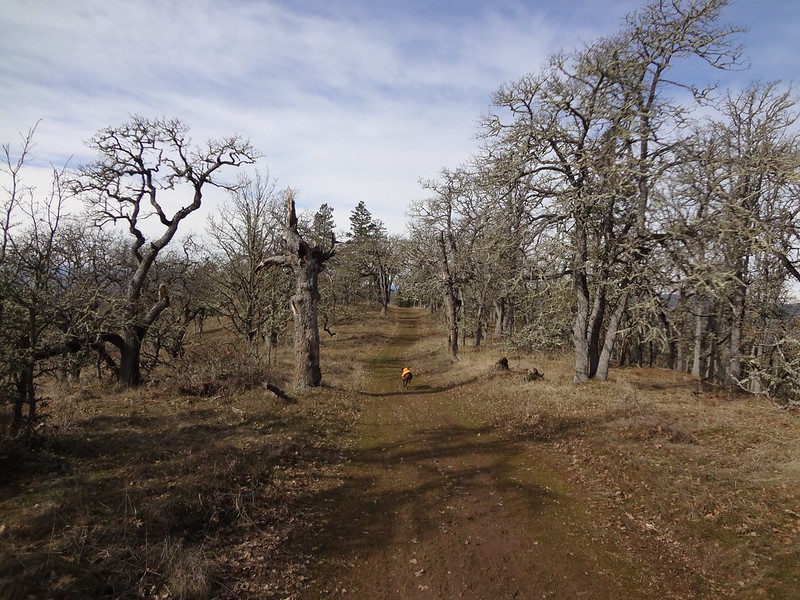
Surprisingly, the ridge had a discernable trail along the whole way until it lead to a clearing above the town of Lyle:
From the clearing, we could see the end of the upper bench and what looked like was a game trail along the contour of the next ridge. We had to follow another game trail down to a draw in order to get to the other ridge. Once there, the game trail we saw from the clearing was relatively easy to follow along the contour line.
Ridge with contour lines above the town of Lyle. Note the white rocks just to the right of the center of the picture. Those are the rocks that spell out "LYLE" above the town. BTW, the game trail we followed was about 20 feet above those rocks.
Walking along the contour of the ridge above the town of Lyle video. This shows how windy it was in certain places.
Here is where we decided to traverse down to the convict road and take that way back, rather than taking the trails on either the upper or lower Lyle bench.
West end of the upper Lyle bench:
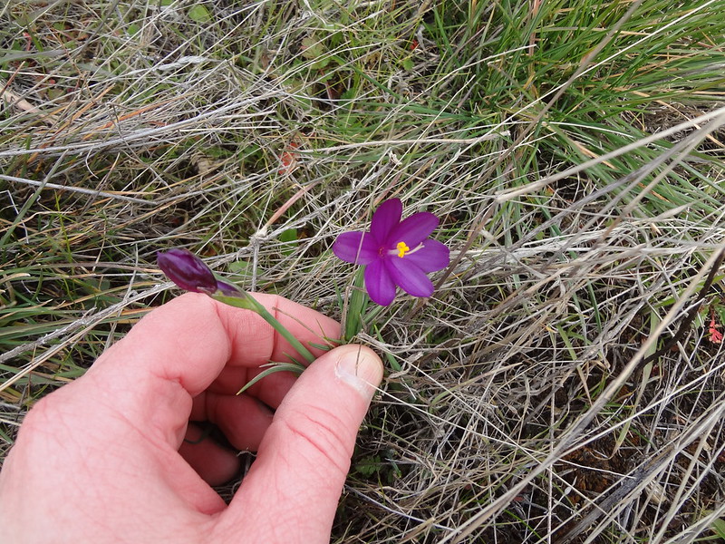
First flower of the year for me/grass widow:
Columbia River/seasonal pond/rock fence:
Rock fence close up:
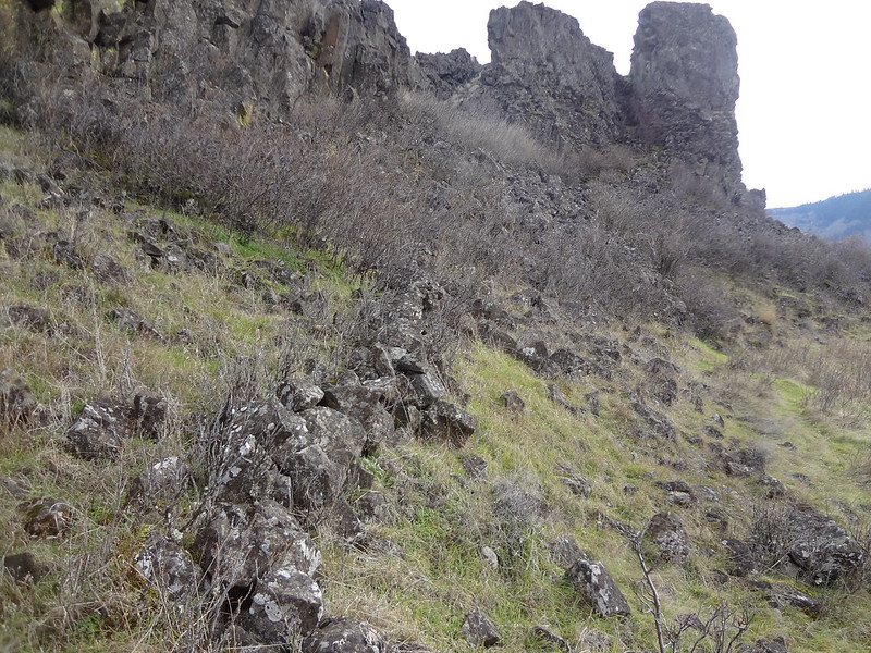
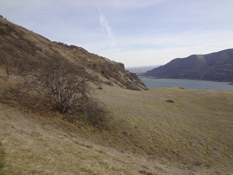
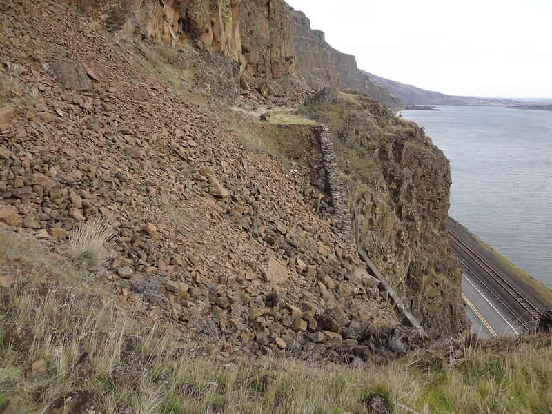
The trail along the convict road crosses many rock slides that must be climbed over. Nothing too difficult, but I was a little concerned about rocks falling on my head. The convict road route had some great views, but I think next time I'll take one of the bench trails back.
Convict road/gap between twin tunnels:
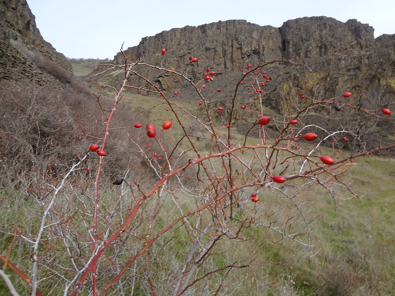
Rose hips:
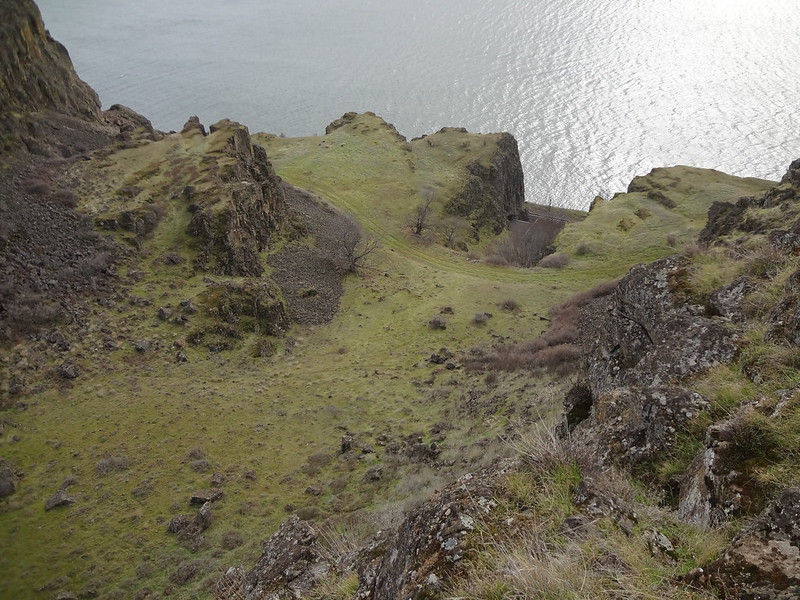
Above the twin tunnels:
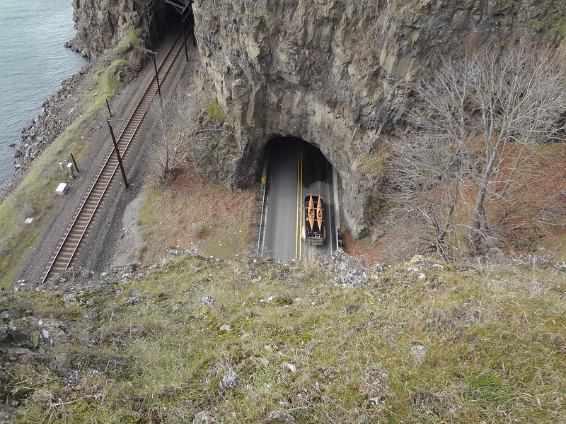
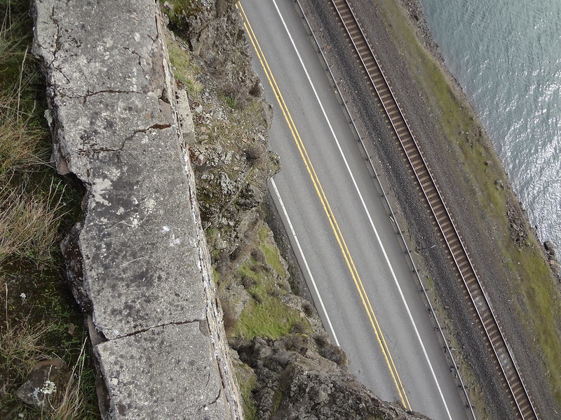
Straight drop down to highway 14:
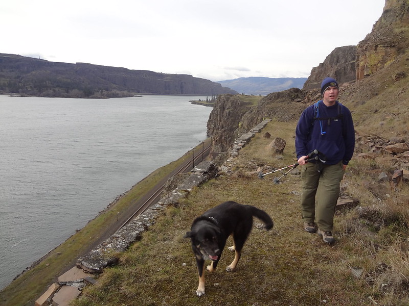
Chris and Timmy walking along the old convict road:
Lots of rock slides along the old convict road:
Back at the car I found another tick on Buddy's coat:
This is the first time I have used my new GPS on a trip. I absolutely love having it with me. When we were taking those back dirt roads and mystery ridges, it was comforting to have something to refer to. One error I did was not having it turned off when I left the house, so the track and trip computer included information from my house to the trailhead. I did not discover it until it was too late. I knew about this, but forgot.
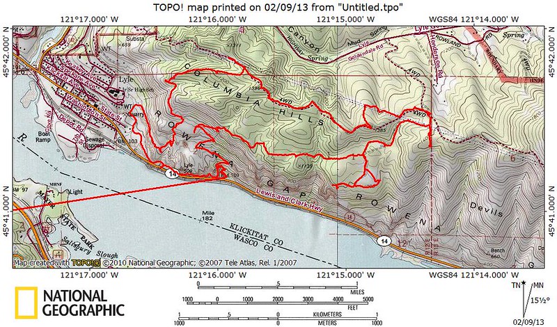
Track of our route:
All Pics:
http://www.flickr.com/photos/54959080@N ... 727875047/
Final comments:
• I would not take this same route later in the year after the poison oak leafs out. It is everywhere. The main trail would be OK, but not some of the other areas.
• We saw 15 deer total. There were game trails everywhere.
• Total tick count: 3 on my clothes, 2 on my pack, 2 on Chris' pack, 1 embedded in Chris' abdomen, 5 on Buddy's coat, 2 in the tub when washing the dogs (dead), 4 embedded in Timmy (dead), 6 when combing Timmy (dead), 1 barely alive when combing buddy. I use Frontline Plus on the dogs and apparently it works on ticks as advertised.
• Did not see another person the whole time. No other cars when we got there. Three other cars when we got back.
• It was very windy in certain places, especially when exposed to the west.
Keep on hiking,
Brad


