

Tadpole Pond
From Oregon Hikers Field Guide

- Hikes to this destination:
- Oaks Bottom Loop Hike (TH | <— —> | LOG)
- Weather forecast: NWS/NOAA
- Maps: Oregon Hikers Maps Google Maps
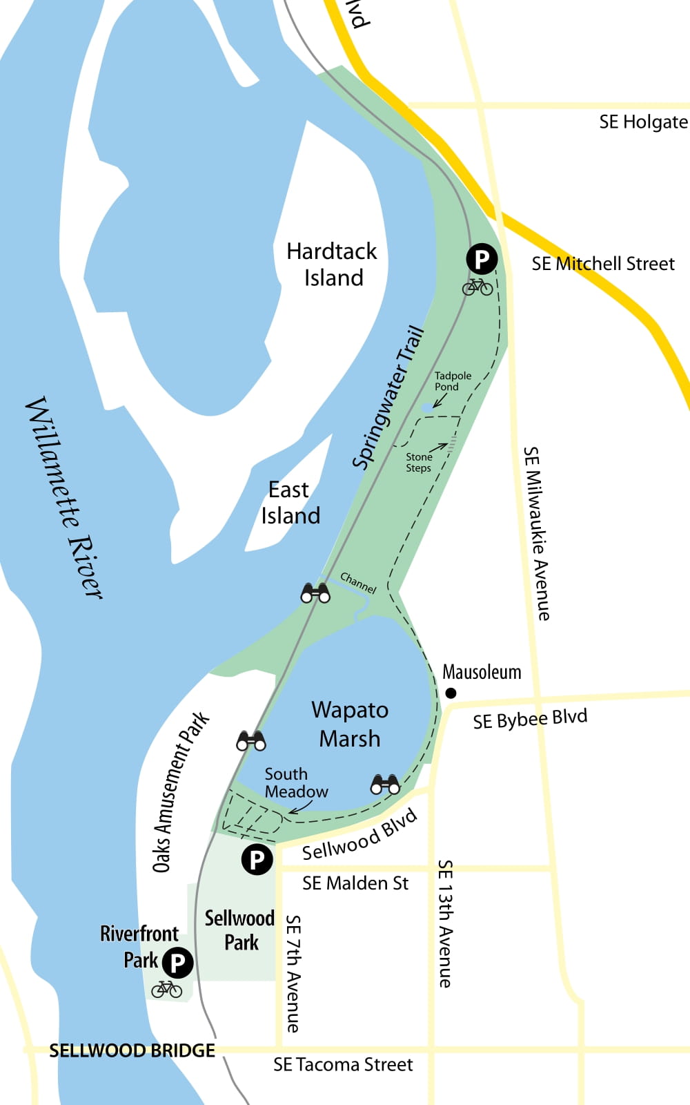
- Latitude, Longitude: 45.48199, -122.65312
- Elevation: 25 feet
Description
Tadpole Pond lies on a cutoff trail in the Oaks Bottom Wildlife Refuge between the Bluff Trail and the Springwater Corridor. It is surrounded by riverine woods of black cottonwood and Oregon ash. A small interpretive loop leads around the pond, where three species of salamanders and three kinds of frog, including the invasive bullfrog (the one you're most likely to see), breed. Bird feeders on this loop attract small perching birds, and camas blooms here in May. The pond may dry up most summers.
More Links
Contributors
- bobcat (creator)