

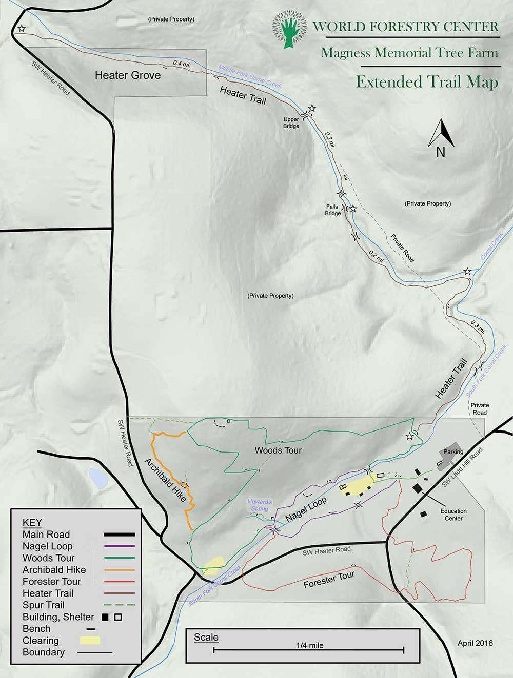
Heater Grove
From Oregon Hikers Field Guide

- Hikes to this destination:
- Magness Tree Farm Loop Hike (TH | <— —> | LOG)
- Weather forecast: NWS/NOAA
- Maps: Oregon Hikers Maps Google Maps
- Latitude, Longitude: 45.3026, -122.8609
- Elevation: 470 feet
Description
The Heater Grove of western red-cedars on the Middle Fork Corral Creek was donated to the World Forestry Center, an educational non-profit organization, in 1997. The grove is connected to the main property at the Magness Memorial Tree Farm by the 1.1 mile long Heater Trail, which crosses a tract of private land.
The larger cedars here are over 120 years old. They will approach "old growth" status in the mid-21st century.
More Links
- Magness Tree Farm (World Forestry Center)
- Magness Memorial Tree Farm: Extended Trail Map (World Forestry Center)
Contributors
- bobcat (creator)